Braubach Challenge
A road cycling route starting from Braubach
A challenging road route with epic climbs and scenic landscapes
Map
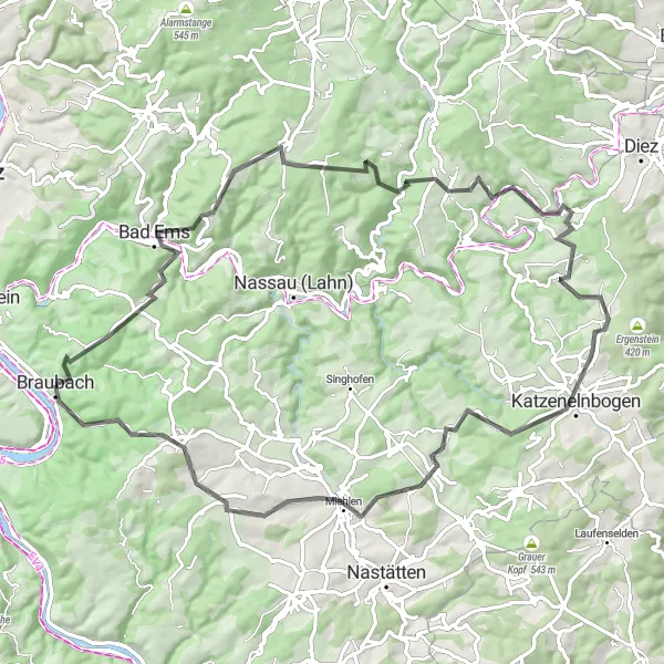
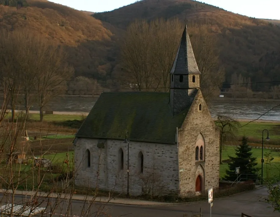
The Braubach Challenge is a challenging road cycling route starting near Braubach. With a total ascent of 1867 meters and a distance of 84 kilometers, this route is perfect for well-trained amateur cyclists seeking a thrilling adventure. Traverse through picturesque landscapes and tackle impressive climbs, including Pickert and Buchenkopf. Enjoy the stunning views from Balduinstein and Katzenelnbogen, and take a moment to appreciate the beauty of Horst and Schaarheck. The route finishes in Braubach, known for its medieval architecture and the iconic Marksburg Castle.
road
84 km
1867 m
Savage
Route profile
Highlights on the route
0 km
0 km
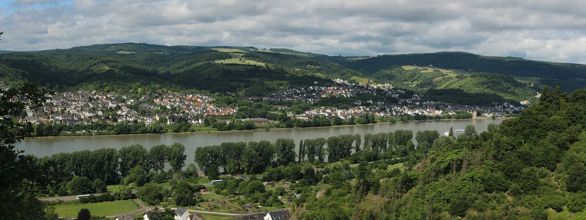
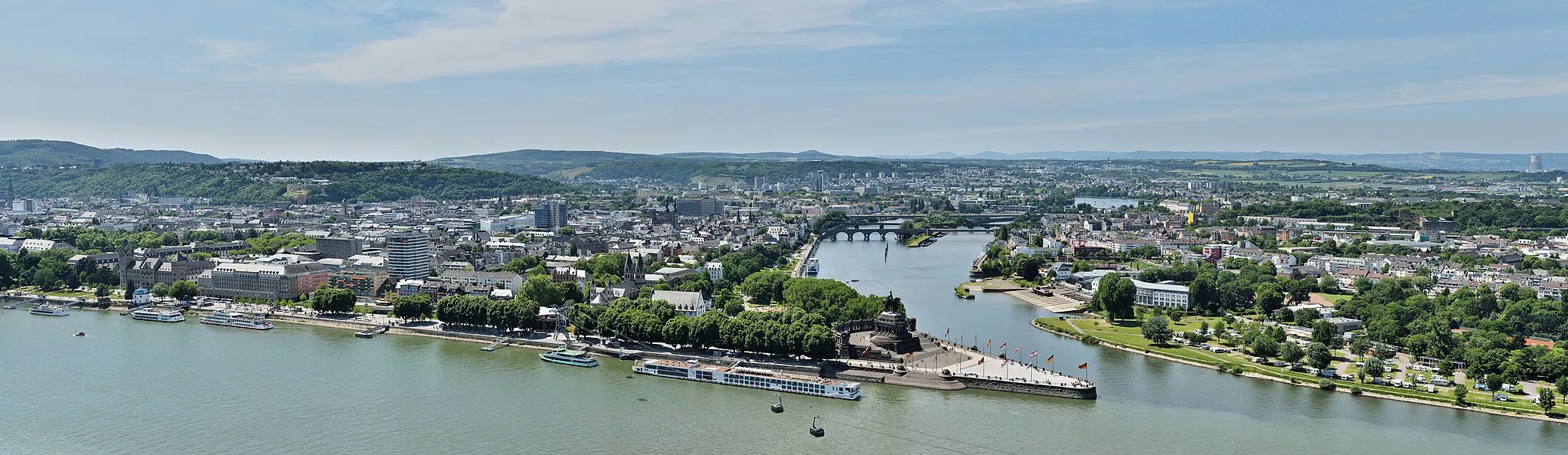
Start: Braubach City centerBraubach: Explore medieval castles and ride along the Rhine Cycle Route in Braubach, Koblenz, Germany.
Braubach, located in Koblenz, Germany, is a charming locality with a mix of historic architecture and beautiful landscapes. The area offers a variety of cycling routes, including the famous Rhine Cycle Route, which attracts cyclists from around the world. Braubach is also home to Marksburg Castle, a well-known tourist attraction. With its cycling-friendly infrastructure and scenic surroundings, Braubach is a great destination for both road and gravel cyclists.3 km
3 km
Pickert276 mPeakExperience the exhilarating climb up Pickert
23 km
23 km
Buchenkopf424 mPeakReach the top of Buchenkopf and reward yourself with breathtaking panoramic views
39 km
39 km
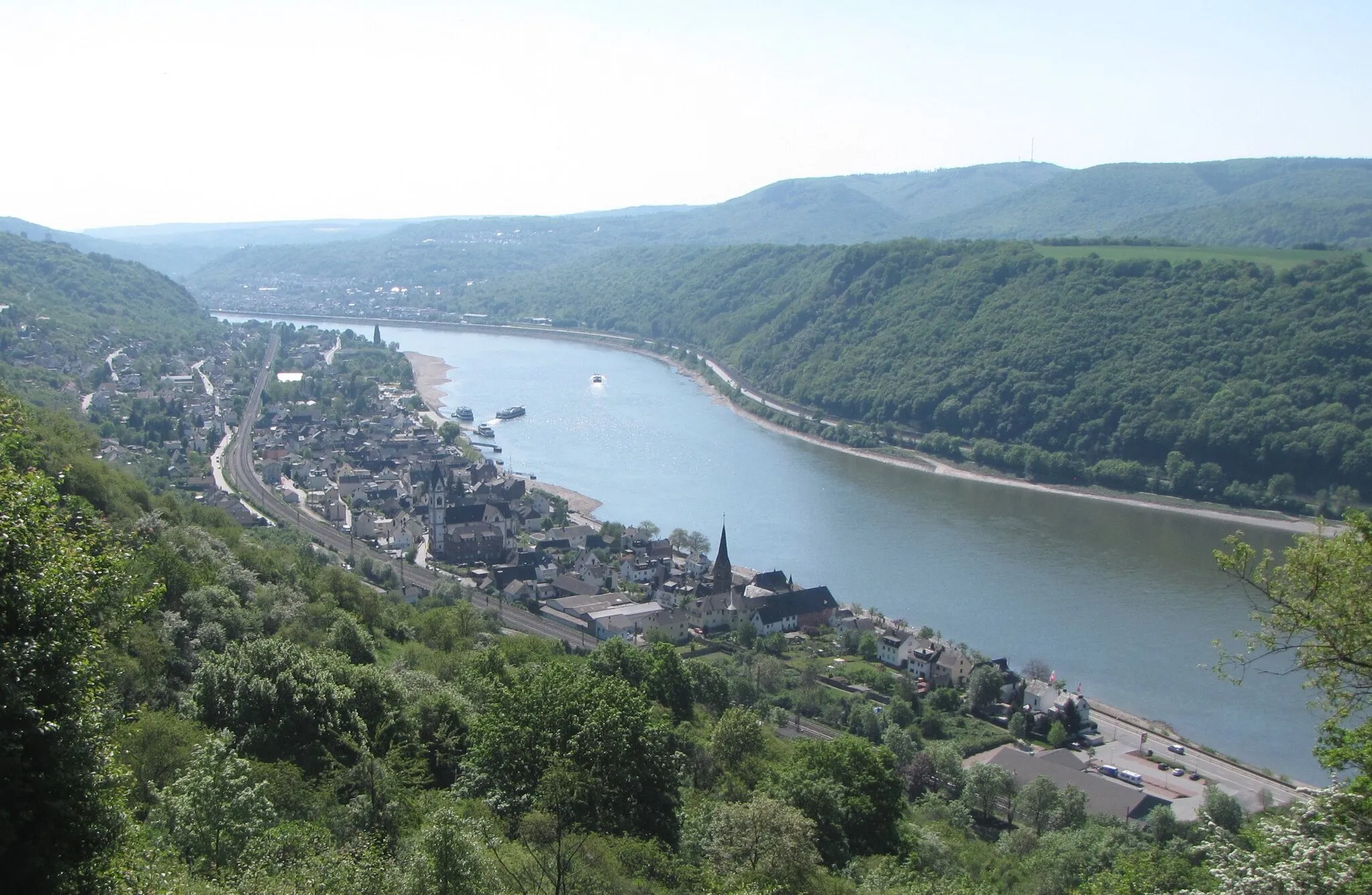
BalduinsteinVillageDiscover the picturesque village of Balduinstein, surrounded by natural beauty
51 km
51 km
KatzenelnbogenTownVisit Katzenelnbogen and explore its charming historic center
53 km
53 km
Horst393 mPeakTake a moment to admire the beauty of Horst, a hidden gem along the route
71 km
71 km
Schaarheck340 mPeakPass through the scenic village of Schaarheck and enjoy the tranquil surroundings
83 km
83 km
Pankert275 mPeakCycle through the peaceful countryside of Pankert and embrace the serene atmosphere
84 km
84 km
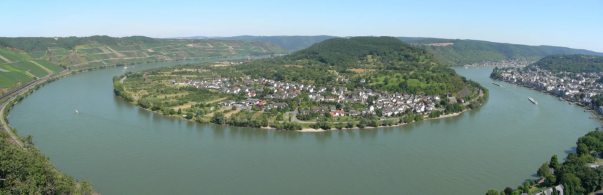
BraubachTownFinish your ride in Braubach, home to the majestic Marksburg Castle
84 km
84 km
Finish: Braubach City centerBraubach: Explore medieval castles and ride along the Rhine Cycle Route in Braubach, Koblenz, Germany.
Cycling routes nearby: