The Challenging Gravel Challenge
A gravel cycling route starting from Brey
Take on the challenge of this demanding gravel route near Brey
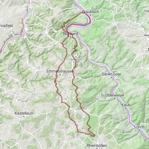
Map
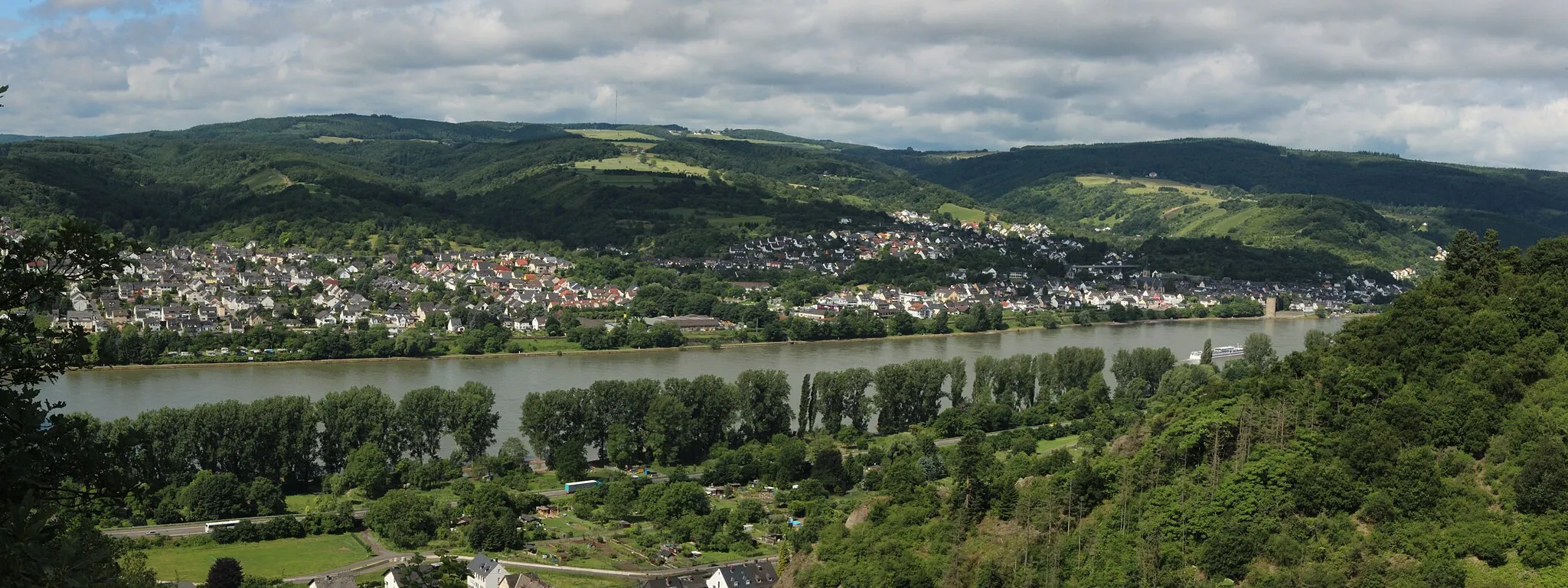
For cyclists looking for a challenging adventure near Brey, this gravel route is the perfect choice. With a total ascent of 1,712 meters and a distance of 90 kilometers, this route pushes even the most well-trained amateurs to their limits. Along the way, cyclists will be rewarded with stunning views of the local countryside and several picturesque villages.
gravel
90 km
1712 m
Savage
Route profile
Highlights on the route
0 km
0 km
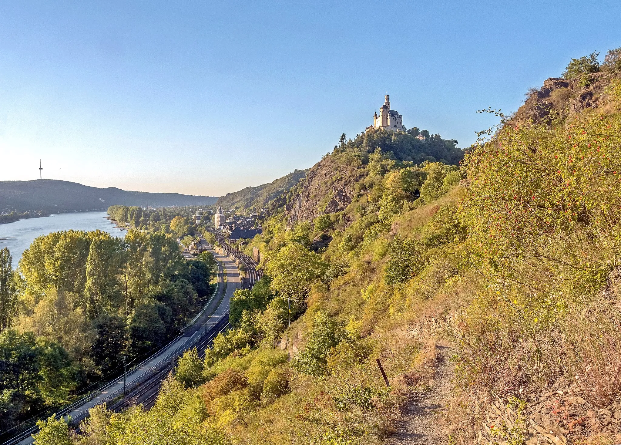
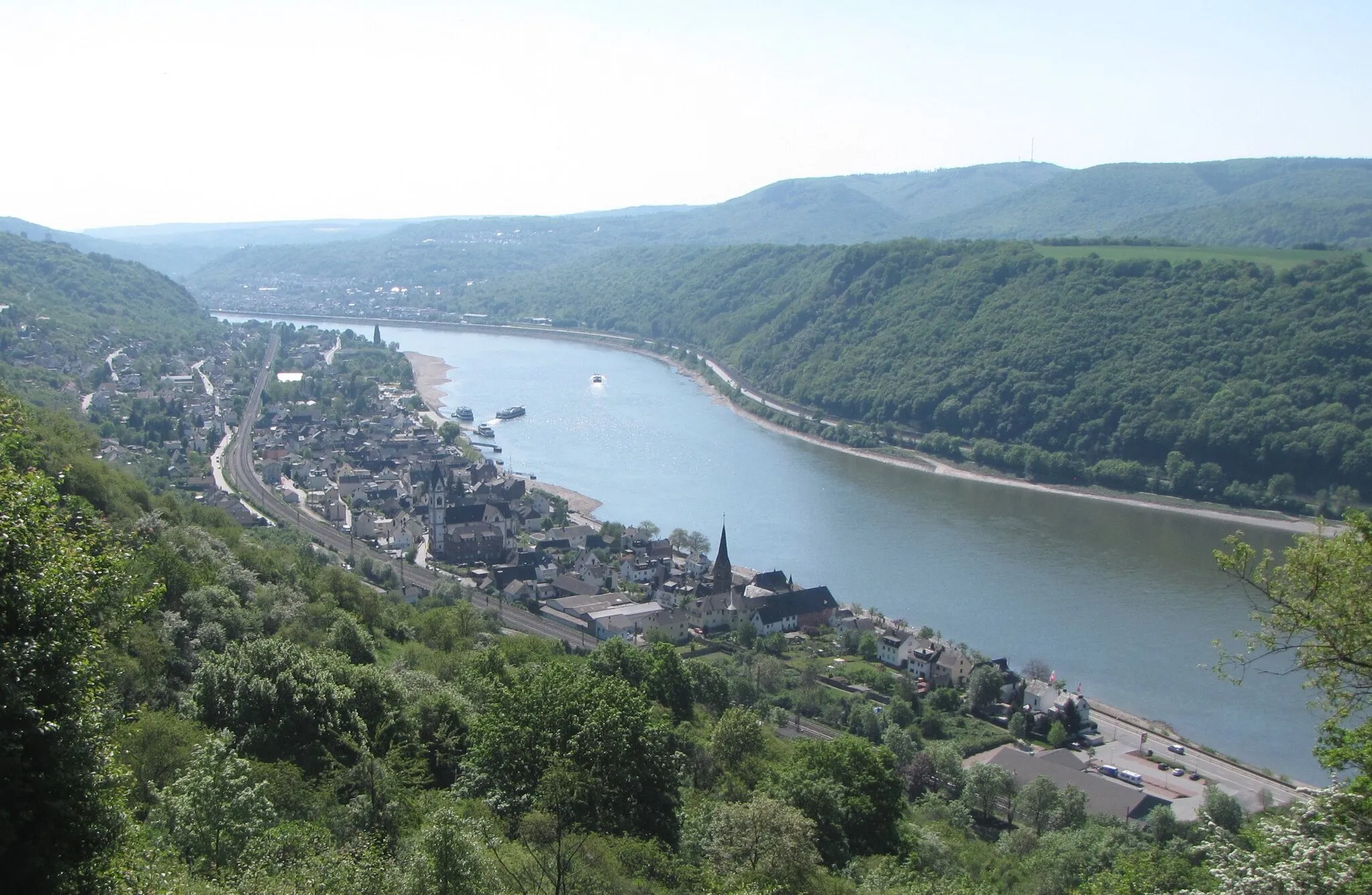
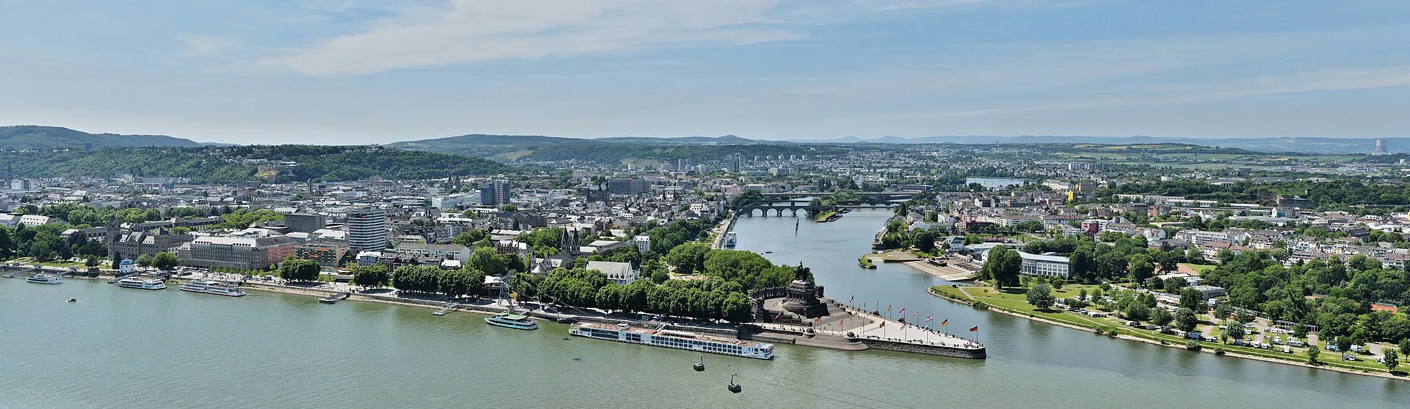
Start: Brey Village centerBrey: Cycling in Brey: Scenic routes near Koblenz
Brey is a small town located in Germany, near Koblenz. From a cyclist's perspective, Brey offers some great road cycling routes with beautiful scenery. The roads are well-maintained and there are many routes to choose from, ranging from short and easy rides to longer and more challenging ones. One of the famous cycling-related spots nearby is the Deutsches Eck, where the Moselle River joins the Rhine River. The area is also known for its vineyards, providing a scenic backdrop for cycling. Overall, Brey is a great destination for road cycling enthusiasts and offers a variety of routes to suit different skill levels.3 km
3 km
SpayVillage17 km
17 km
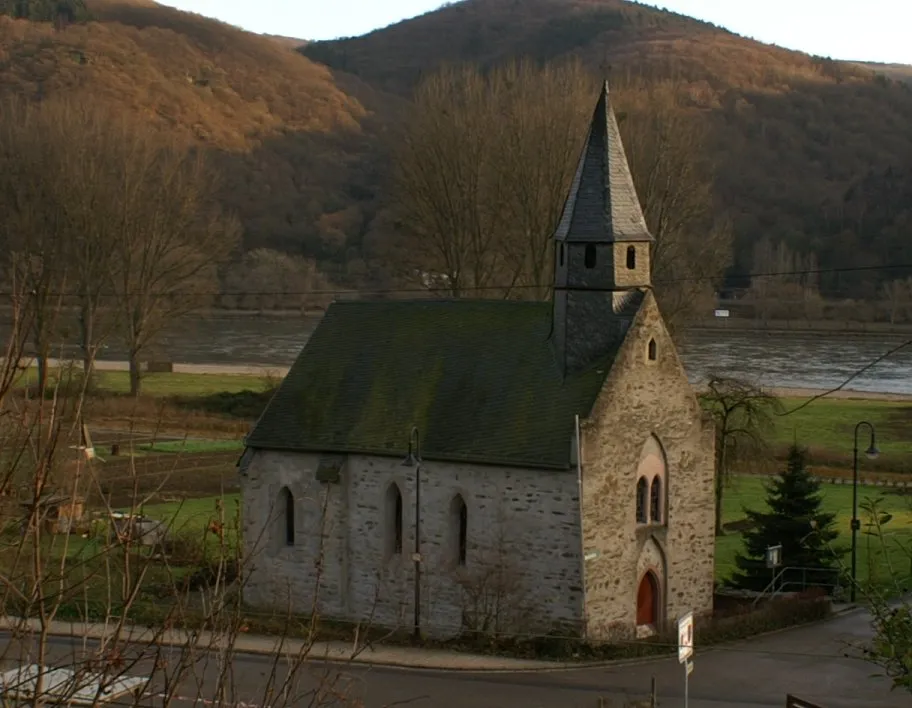
Götzekopf488 mPeakSpay, at 3 km, is a charming village with a historic old town and stunning views of the Rhine River.
21 km
21 km
HalsenbachVillageHalsenbach, at 21 km, is a scenic village nestled in the Hunsrück Mountains, offering breathtaking views of the surrounding nature.
36 km
36 km
MaisbornVillageAt 36 km, Maisborn is a picturesque village known for its peaceful atmosphere and traditional half-timbered houses.
44 km
44 km
LiebshausenVillageLiebshausen, at 44 km, is a charming village with a small castle and lovely views of the surrounding countryside.
65 km
65 km
HungenrothVillageHungenroth, at 65 km, is a quaint village known for its traditional half-timbered houses and peaceful atmosphere.
71 km
71 km
Fleckertshöhe529 mPeakFleckertshöhe, at 71 km, offers panoramic views of the local countryside and is a great spot to take a break and fuel up.
82 km
82 km
Kohlberg336 mPeakAt 82 km, Kohlberg is a scenic hill with stunning views of the surrounding Hunsrück Mountains.
90 km
90 km
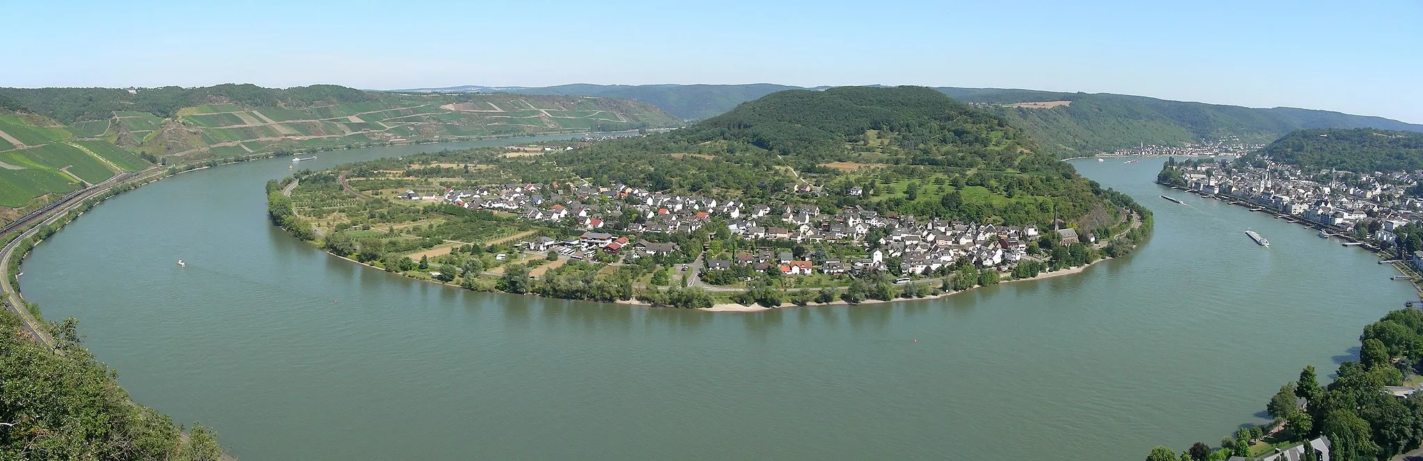
RhensTownRhens, the endpoint of the route, is a medieval town with well-preserved city walls and a picturesque riverside location.
90 km
90 km
Finish: Brey Village centerBrey: Cycling in Brey: Scenic routes near Koblenz
Cycling routes from Brey:
Road Cycling – Boppard Loop Gravel Cycling – Koblenz Adventure Gravel Cycling – Lahneck & Lahnstein The Scenic Road Tour The Challenging Gravel Challenge The Gravel Adventure Road Cycling – Koblenz Round Trip The Scenic Road Cycling Experience The Gravel Exploration Road Cycling – Extended Koblenz Round Trip Rhens-Kohlberg-Thörlingen-Hausbay-Emmelshausen-Graskopf-Filsen Cycle Route
Cycling routes nearby: