Enjoy peaceful cycling through the picturesque countryside of Eitelborn.
Cycling routes from Eitelborn
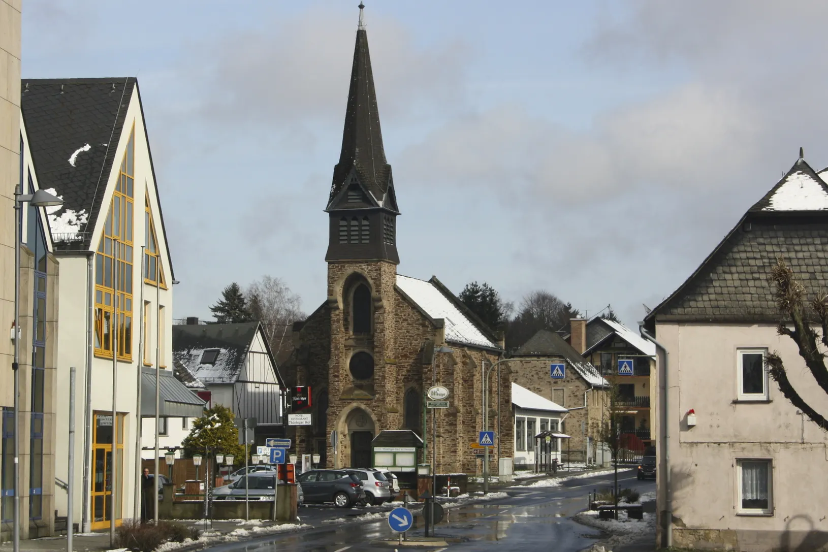
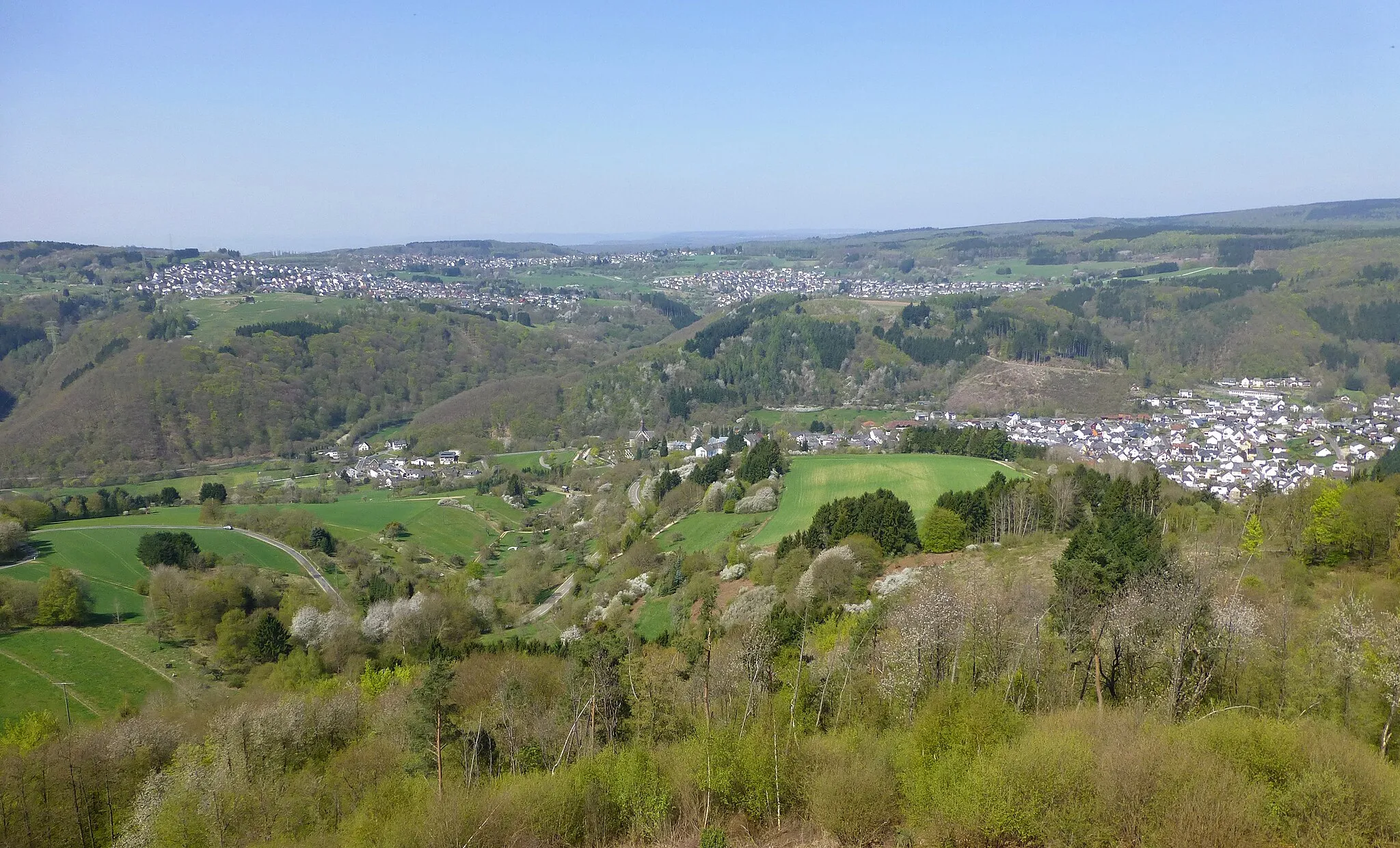
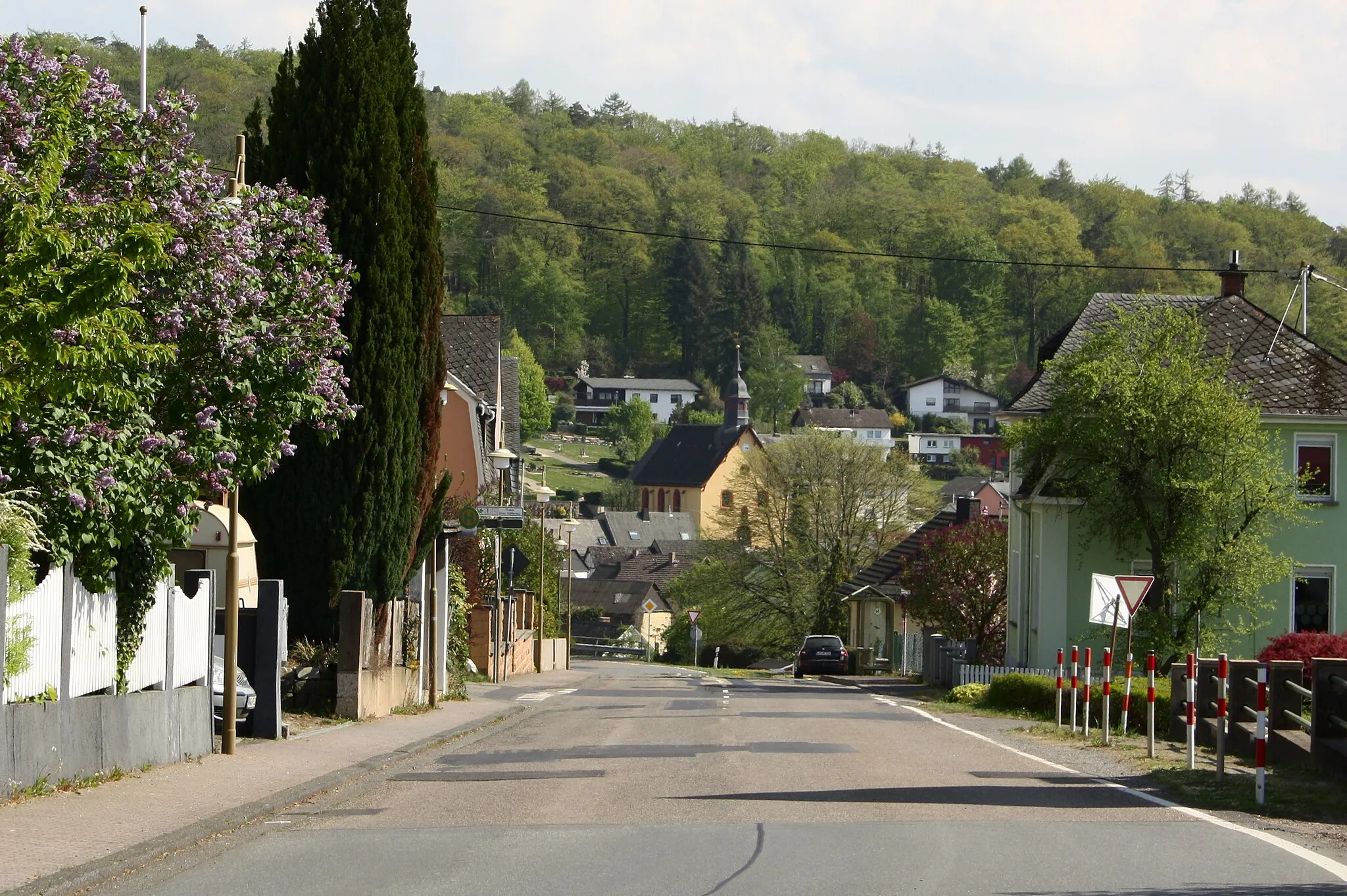
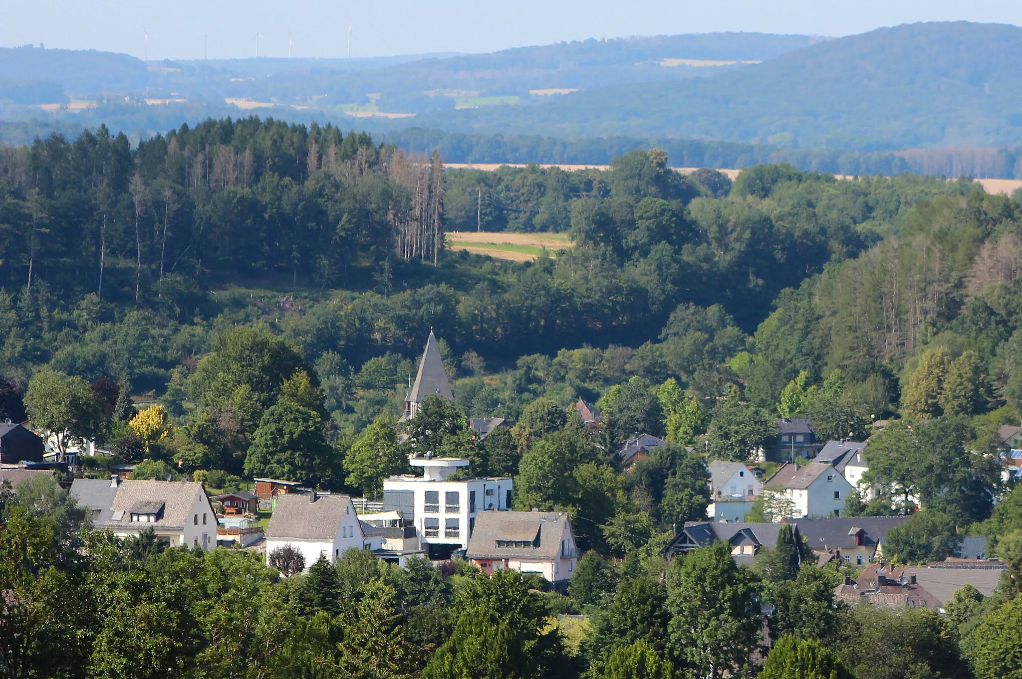
Eitelborn is a small town located in Koblenz, Germany. This locality offers a pleasant cycling experience, with its well-maintained roads and scenic landscapes. Road and gravel cyclists will appreciate the peaceful countryside surrounding Eitelborn, which features rolling hills and beautiful forests. While Eitelborn may not have any famous cycling-related spots or climbs nearby, it still provides enjoyable routes for cyclists of all levels. With its serene atmosphere and good cycling conditions, Eitelborn deserves a rank of 3.
Countryside Charm
Experience the beauty of the countryside on this scenic road cycling route.
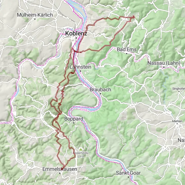
This road cycling route near Eitelborn takes you through some of the most picturesque countryside in the region. With a total ascent of 1668m over a distance of 89km, the route provides a mix of challenging climbs and enjoyable descents. Highlights along the way include the charming town of Arzbach, the scenic viewpoint of Köpfchen, and the picturesque village of Dachsenhausen. With a difficulty rating of 3 and an epicness score of 3, this route is suitable for intermediate cyclists looking for a scenic and moderately challenging ride.
Conquer the challenging Dielkopf mountain
Embark on an adventurous journey through rugged terrains with the Dielkopf Loop. This 78km gravel route features an ascent of 1765m, making it suitable for experienced cyclists seeking a thrilling challenge. Along the way, witness breathtaking vistas and explore idyllic villages.
Hills and Valleys
Cycle through diverse landscapes with rolling hills and charming villages.
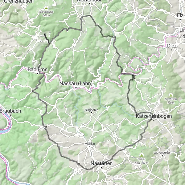
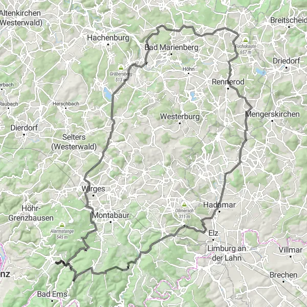
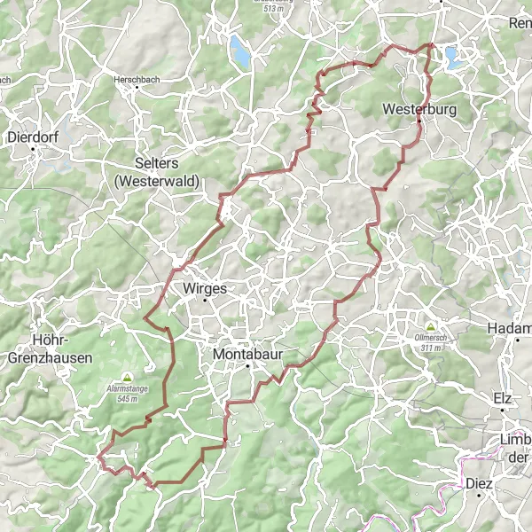
Explore the beautiful countryside around Eitelborn on this challenging road cycling route. With a total ascent of 2121m over a distance of 132km, this route offers a mix of challenging climbs and scenic descents. Highlights along the route include the historic town of Arzbach, the impressive viewpoint of Schöne Aussicht, and the picturesque village of Welschneudorf. With a difficulty rating of 4 and an epicness score of 3, this route is suitable for experienced cyclists looking for a challenging but rewarding ride.
Discover the hidden gems of Staudt
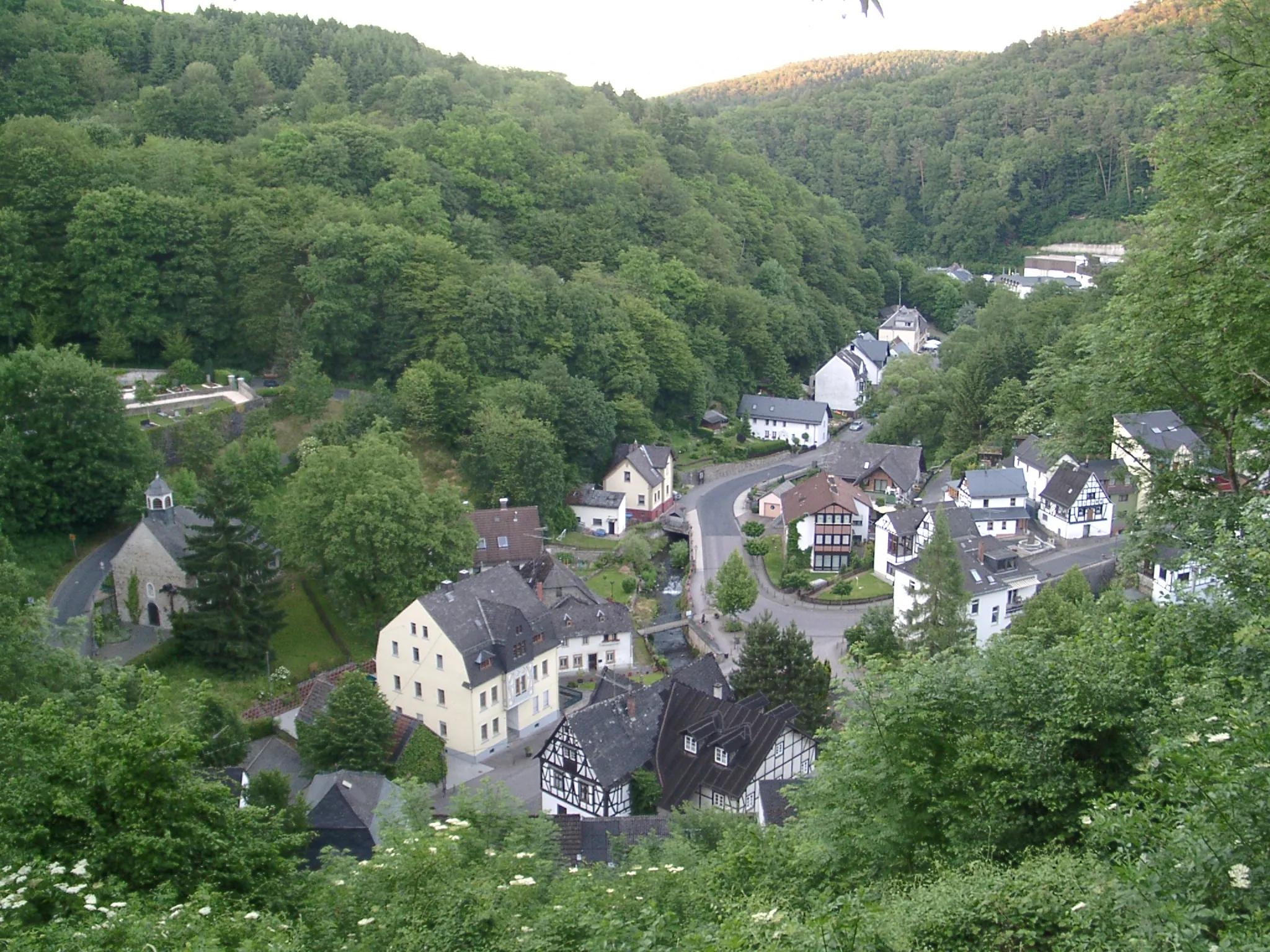
Uncover the beauty of Staudt on this 39km gravel route with an ascent of 732m. Suitable for moderate-level cyclists, this loop showcases the charming village of Staudt and its surrounding nature. Admire the scenic landscapes and enjoy the tranquility of the countryside.
Riverside Beauty
Enjoy scenic routes along the riverside on this picturesque road cycling route.
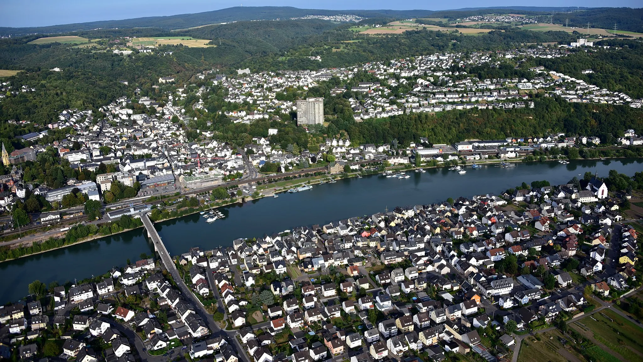
Cycle along the banks of the beautiful rivers around Eitelborn on this scenic road cycling route. With a total ascent of 1682m over a distance of 81km, this route offers a combination of gentle gradients and picturesque views. Highlights along the route include the charming town of Arzbach, the impressive viewpoint of Tannenkopf, and the picturesque village of Obernhof. With a difficulty rating of 3 and an epicness score of 3, this route is suitable for intermediate cyclists looking for a scenic and enjoyable ride.
Gravel Adventure
Embark on an exciting gravel adventure through diverse landscapes near Eitelborn.
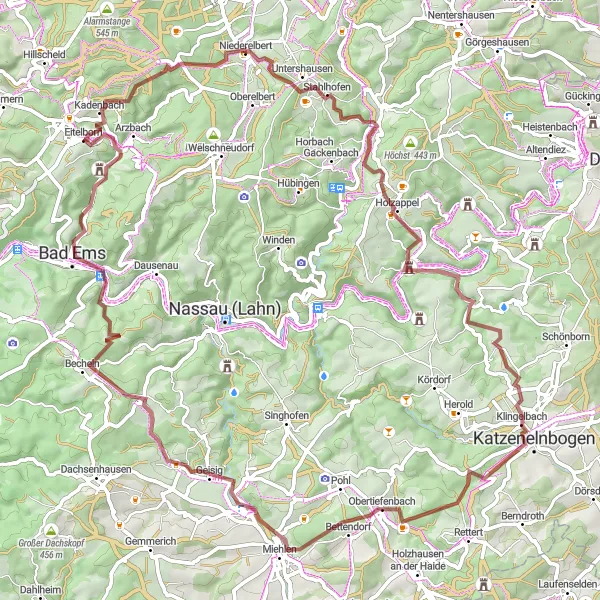
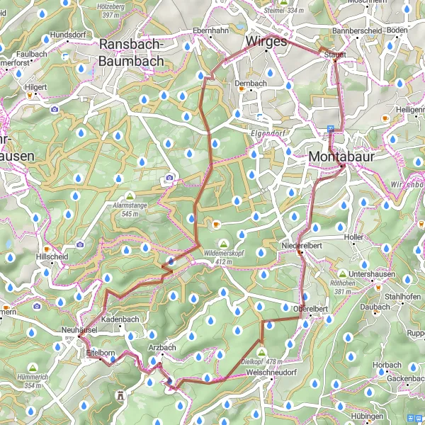
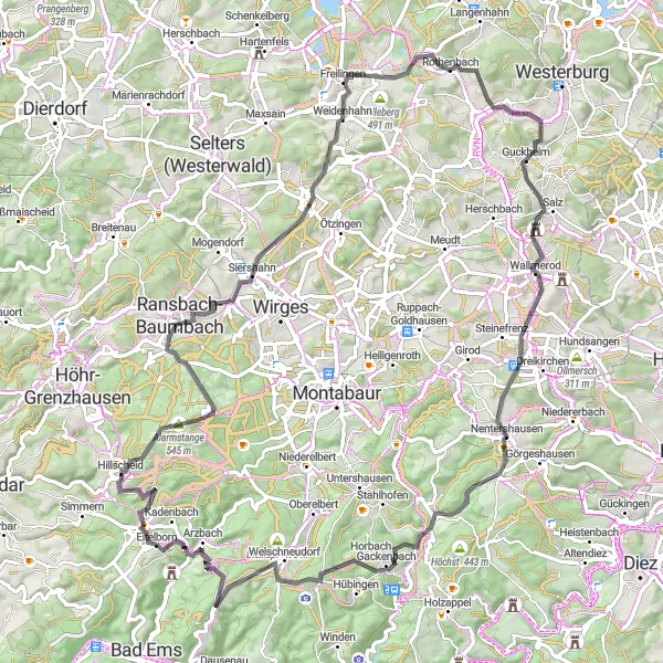
Get off the beaten path and explore the rugged beauty of the region on this exciting gravel cycling route. With a total ascent of 2250m over a distance of 90km, this route is perfect for experienced gravel cyclists looking for a challenge. Highlights along the route include the village of Neuhäusel, known for its traditional architecture and scenic setting, and the picturesque castle of Schlossklause. With a difficulty rating of 4 and an epicness score of 4, this route offers a thrilling adventure through diverse landscapes.
Niedersayn Loop
Cycle through the beautiful Niedersayn region
Explore the charming Niedersayn region on this gravel route. With a total ascent of 1365m, this 90km loop offers a challenging ride for experienced cyclists. Enjoy the stunning landscapes and picturesque villages along the way.
Discover the beauty of the valleys and castles along this stunning road cycling route.
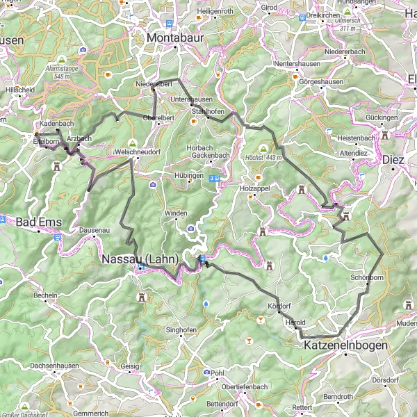
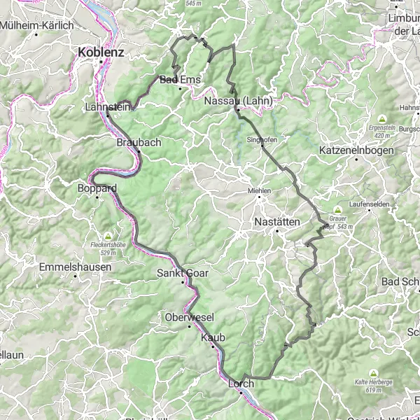
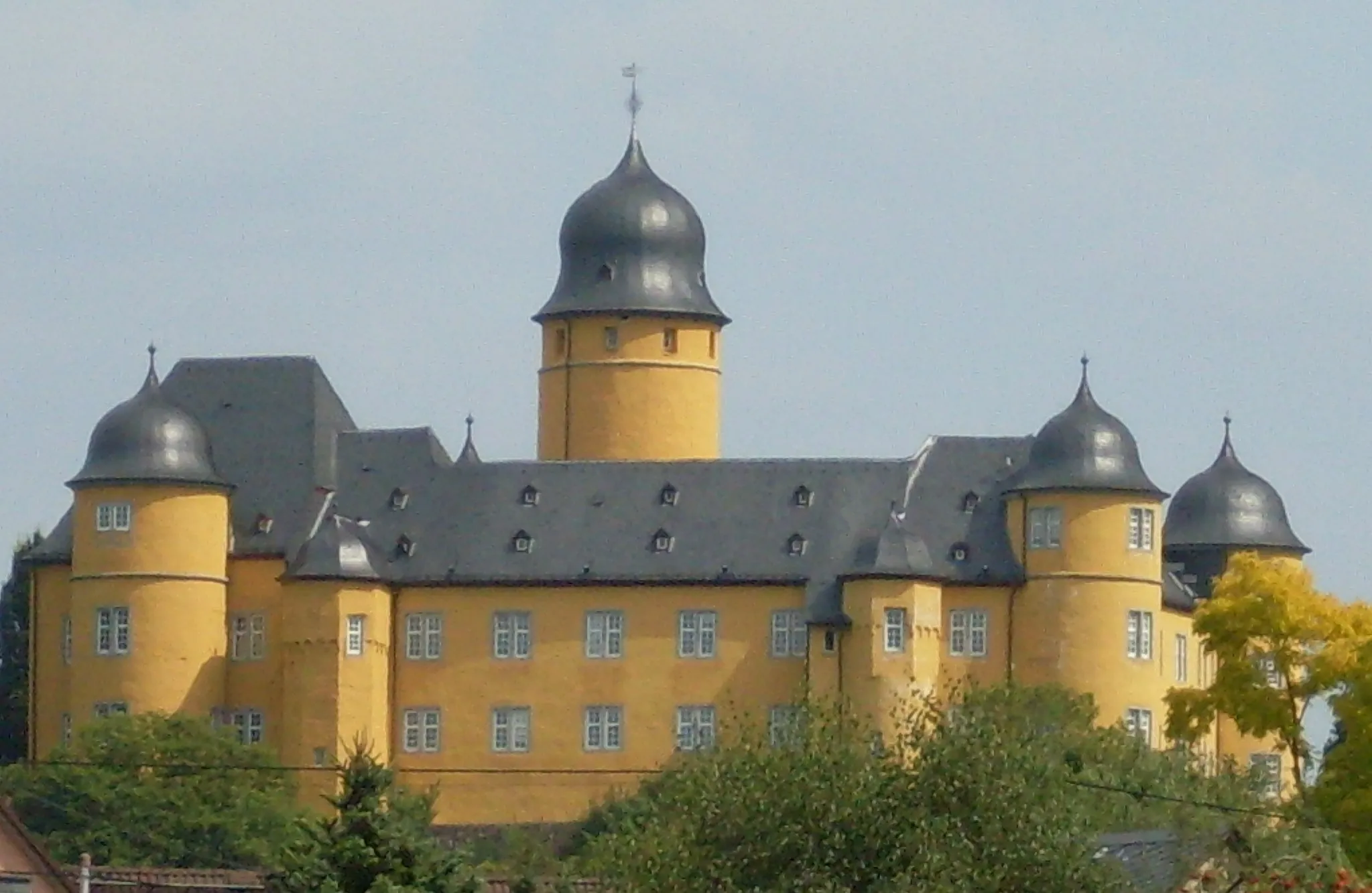
Embark on a scenic road cycling journey through the valleys and along the banks of the rivers near Eitelborn. With a total ascent of 2011m over a distance of 130km, this route offers a mix of challenging climbs and gentle descents. Highlights along the route include the historic village of Lahnstein, the imposing castle of Schittkamm, and the charming town of Kaub. With a difficulty rating of 4 and an epicness score of 4, this route is suitable for experienced cyclists looking for a challenging and visually spectacular ride.
Conquer epic climbs of Rothenbach
Embark on an exhilarating road cycling adventure on the 85km Rothenbach Circuit. With an ascent of 1439m, this challenging route is ideal for experienced cyclists seeking a thrilling ride. Enjoy breathtaking vistas, picturesque villages, and conquer the renowned climbs of Rothenbach.
Conquer the legendary Burg Balduinstein climb
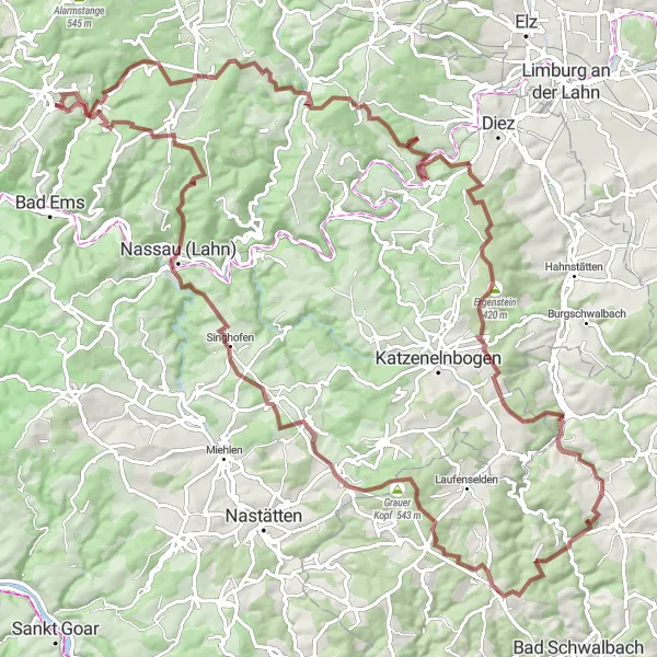
Embark on an epic adventure through the picturesque landscapes of Burg Balduinstein. This challenging 112km gravel route includes an ascent of 2565m, making it perfect for experienced cyclists seeking a legendary climb. Test your skills and enjoy magnificent views along the way.
Cycling routes nearby:

Nearby regions: