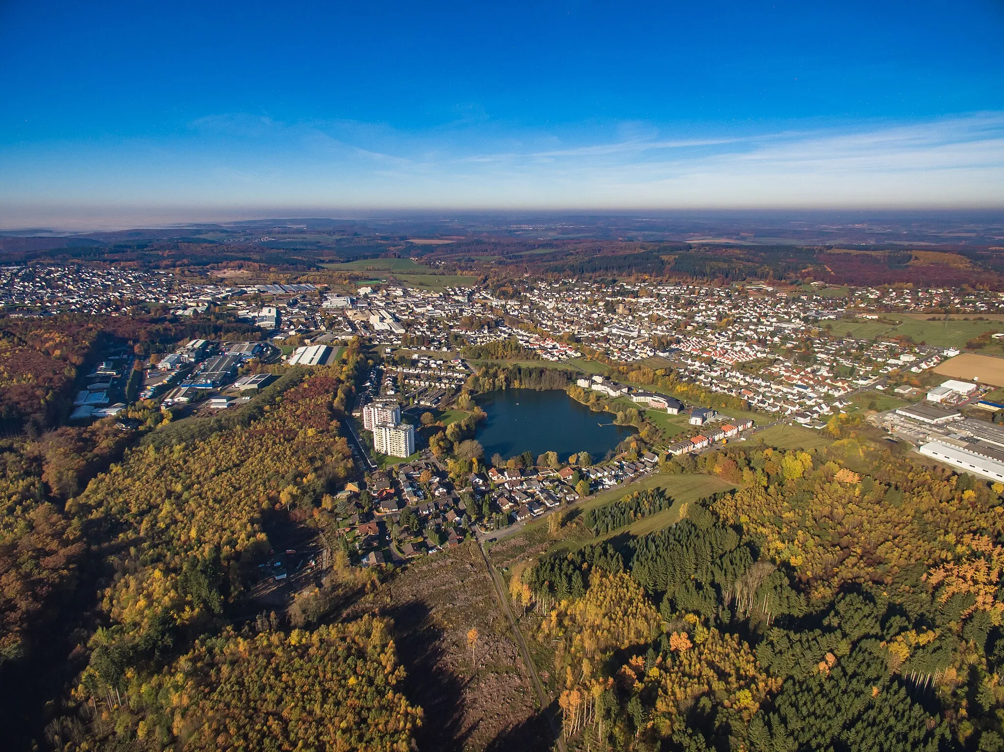
Experience Varied Terrain in Höhr-Grenzhausen
Cycling routes from Hoehr-Grenzhausen
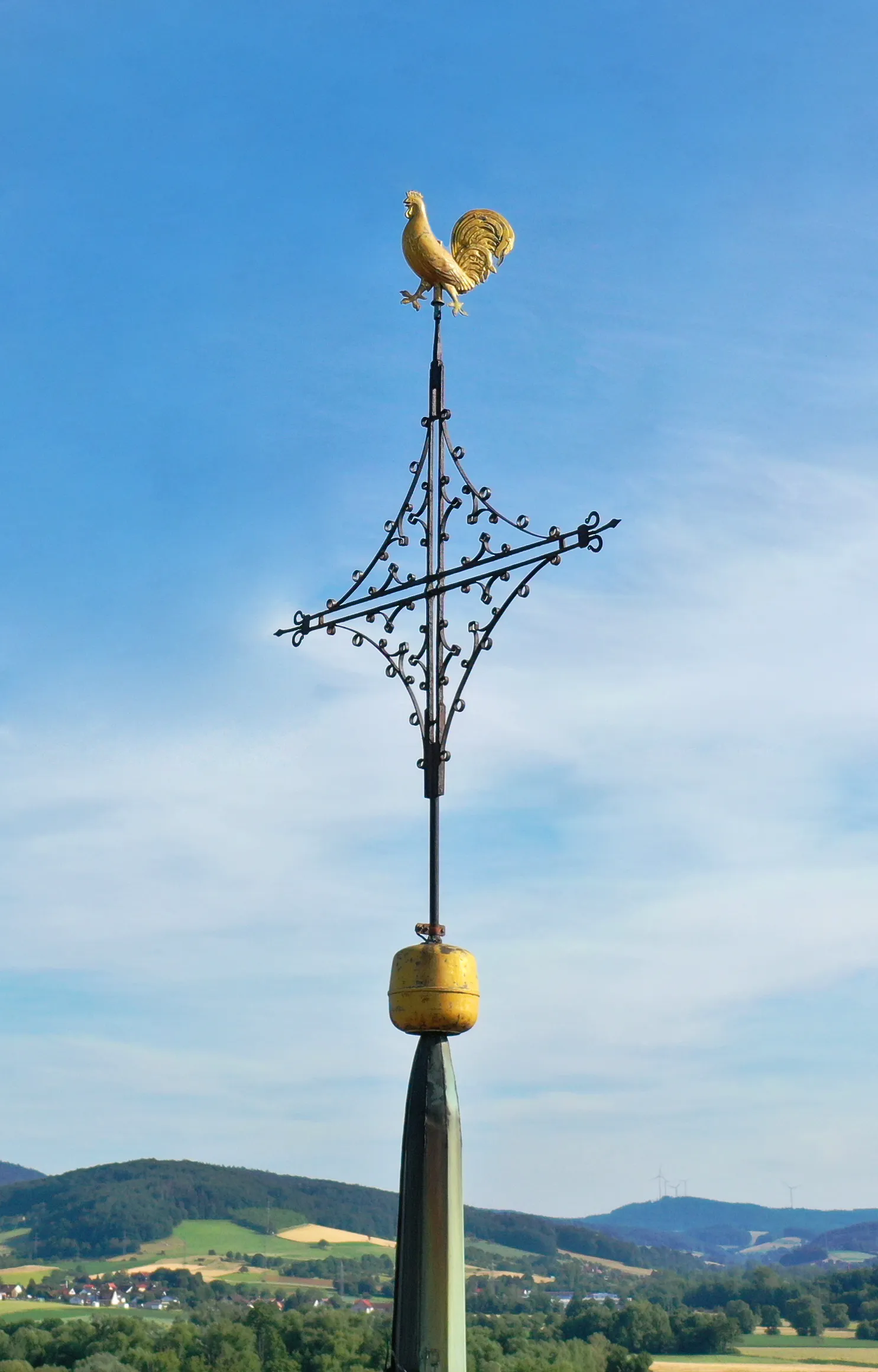
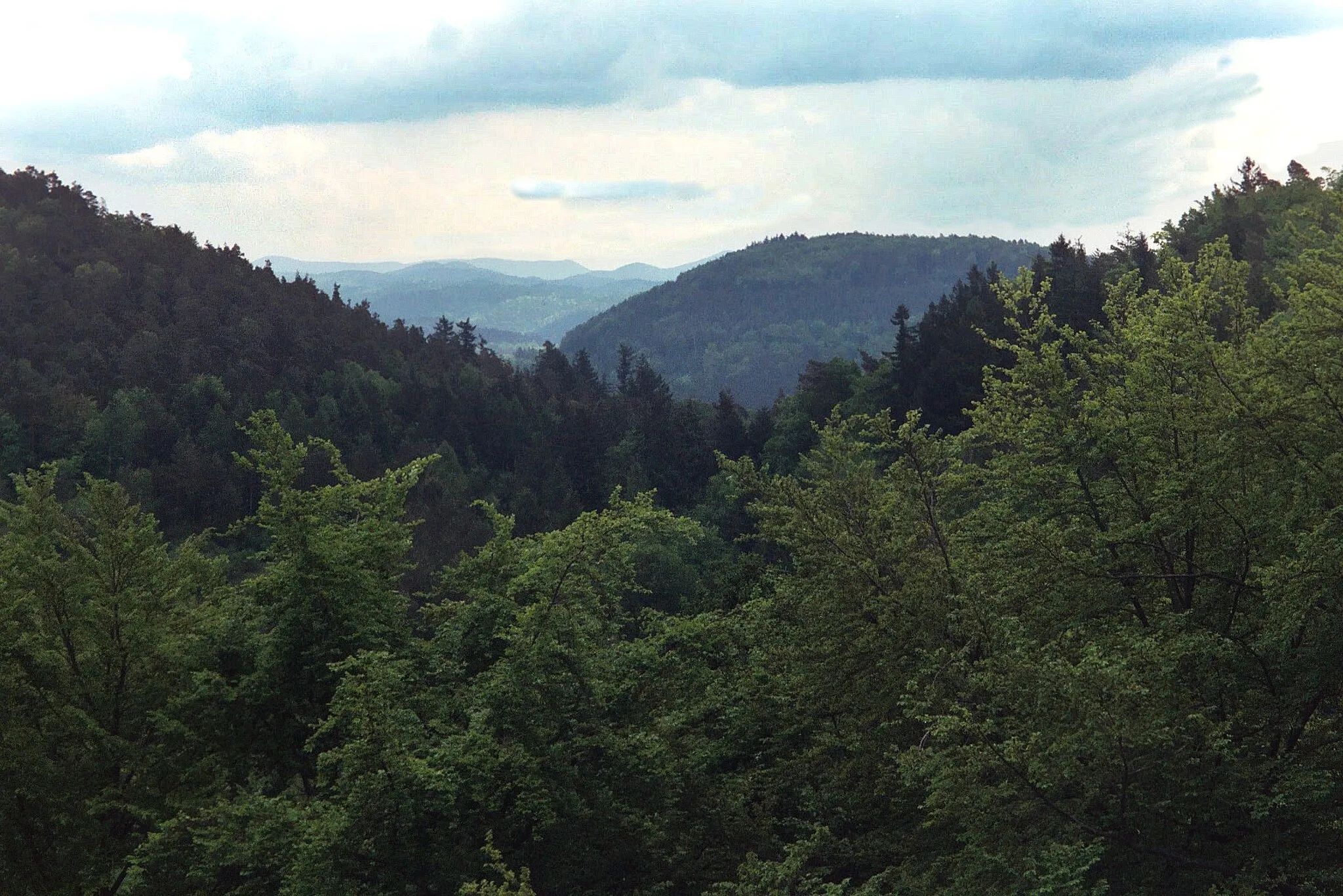
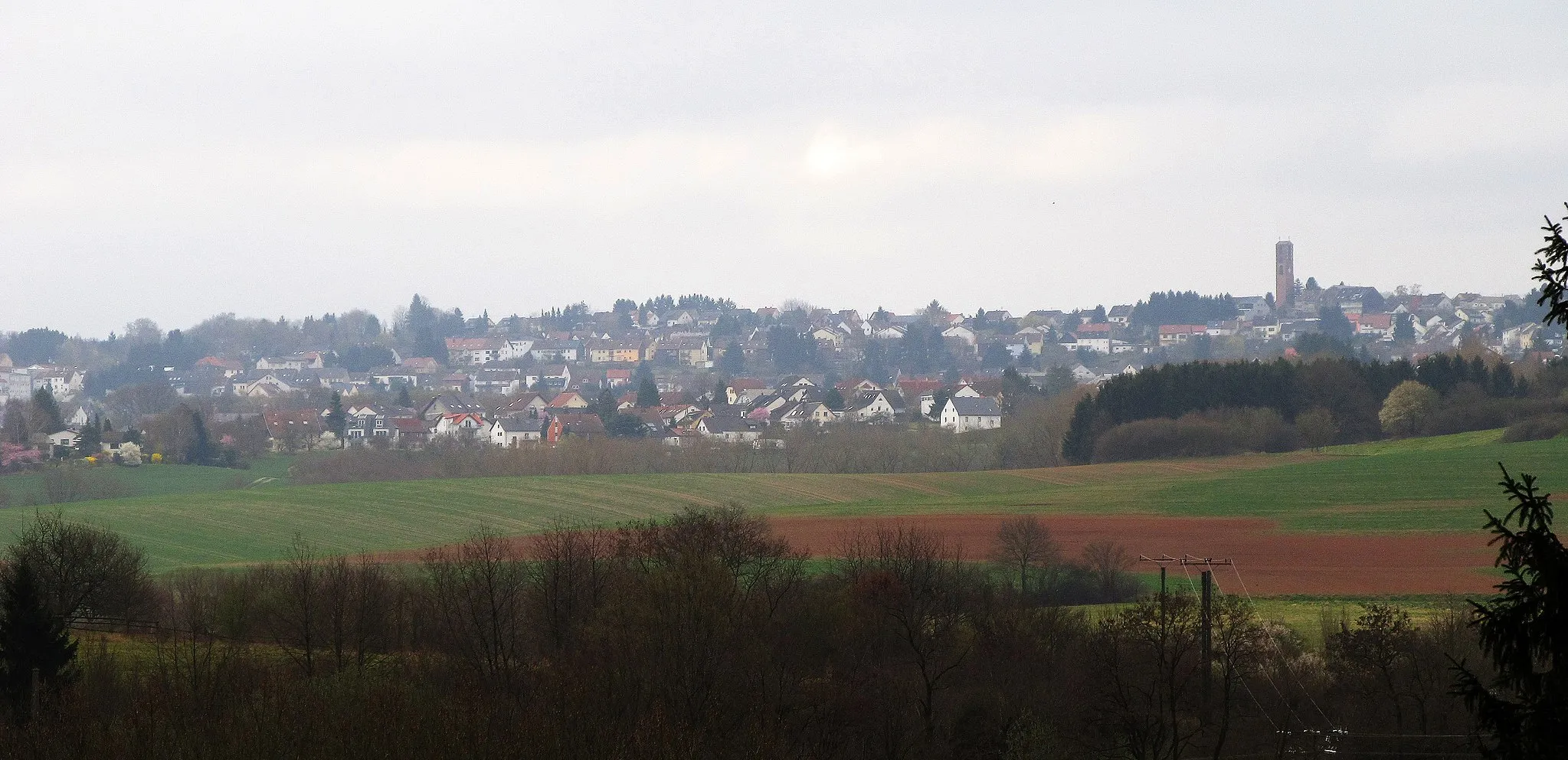
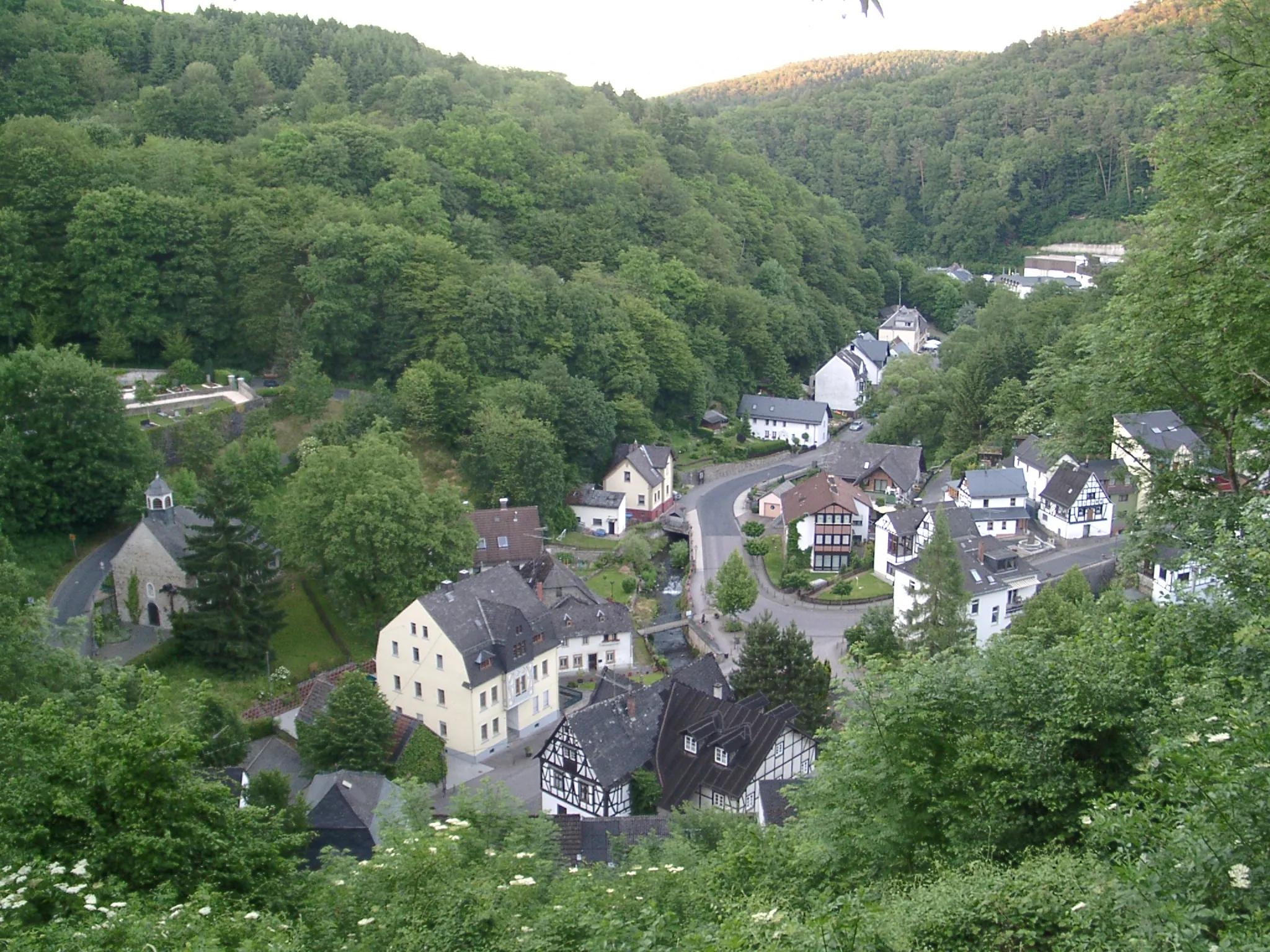
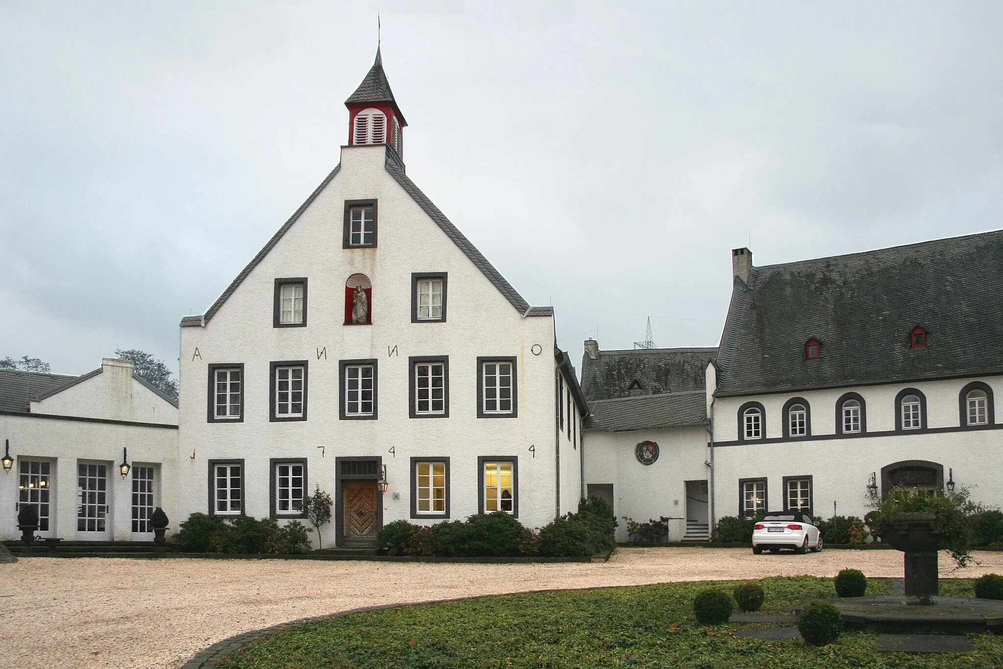
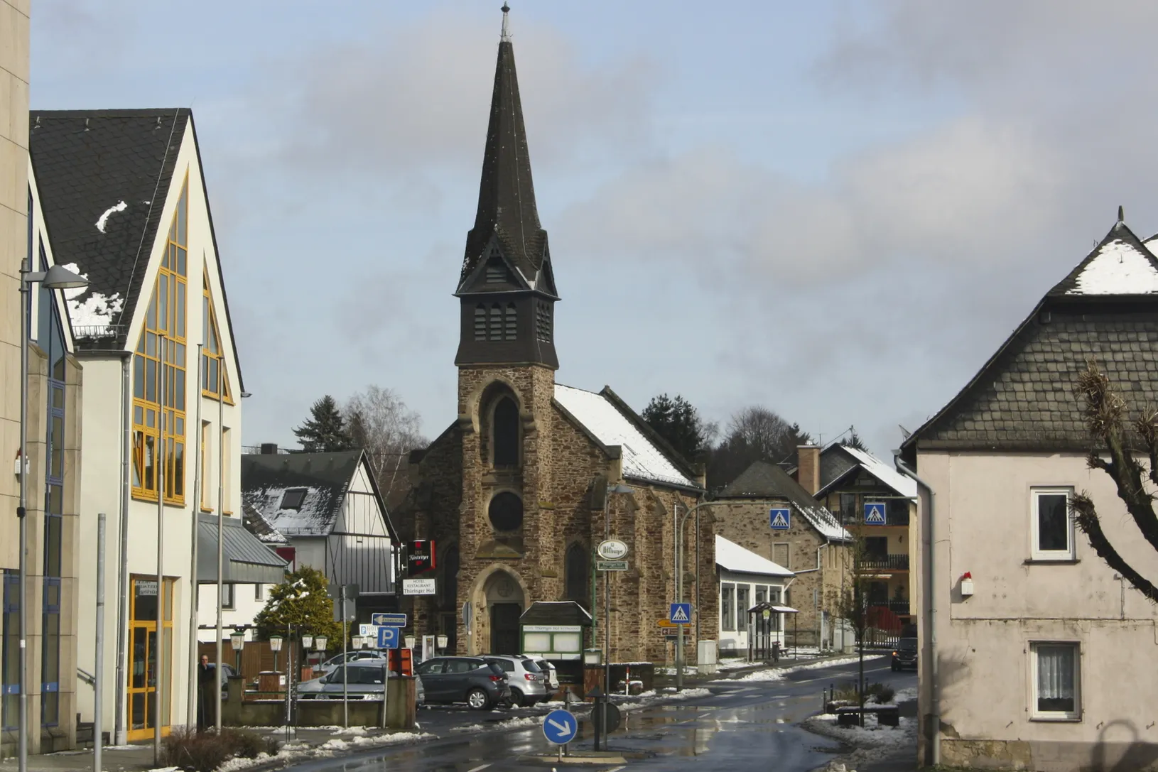
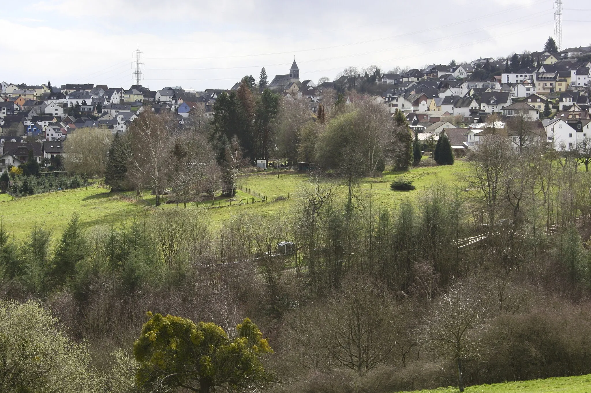
Höhr-Grenzhausen is a municipality located in Koblenz, Germany. It provides a range of cycling opportunities for road and gravel cyclists. The region features both flat stretches ideal for leisure rides and challenging climbs suitable for experienced cyclists. Höhr-Grenzhausen also boasts beautiful countryside scenery and plenty of cycling-friendly routes. While there are no famous cycling-related spots directly in the locality, the surrounding areas offer access to well-known climbs such as the legendary Sauerland Loop.
Off-Road Adventure to Almersbach
Embark on an exciting gravel cycling adventure to the quaint village of Almersbach.
This gravel route takes you on a thrilling off-road adventure through forests, fields, and villages, leading you to the charming village of Almersbach.
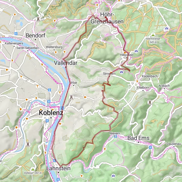
Take a leisurely gravel ride from Höhr-Grenzhausen through scenic landscapes.
Enjoy a relaxed gravel ride through tranquil landscapes with this 45-kilometer route starting from Höhr-Grenzhausen. With an ascent of 768 meters, the route is suitable for beginners and leisure cyclists. Explore highlights along the way, such as the Nievern viewpoint and the historic town of Vallendar. Don't miss the stunning views from the Geierskopf and Heidekopf viewpoints.
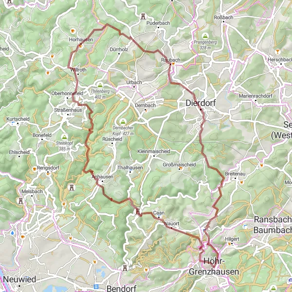
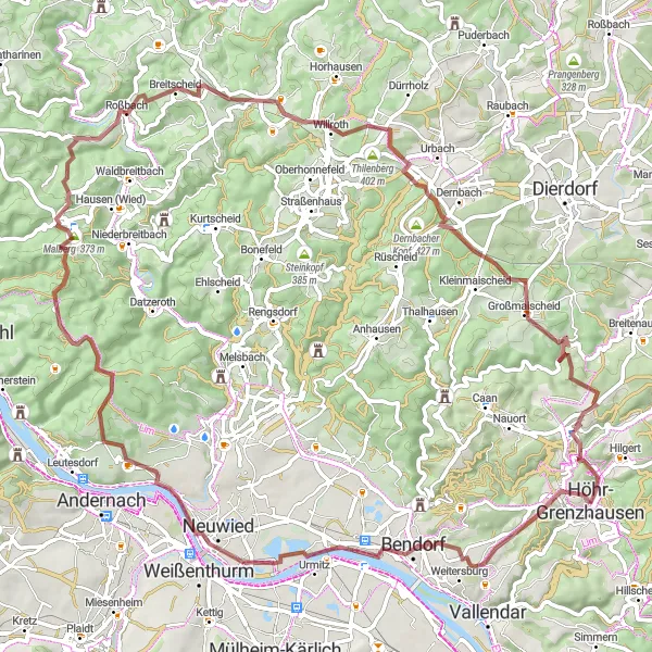
Discover the wonders of the Westerwald region as you cycle from Höhr-Grenzhausen to Dierdorf.
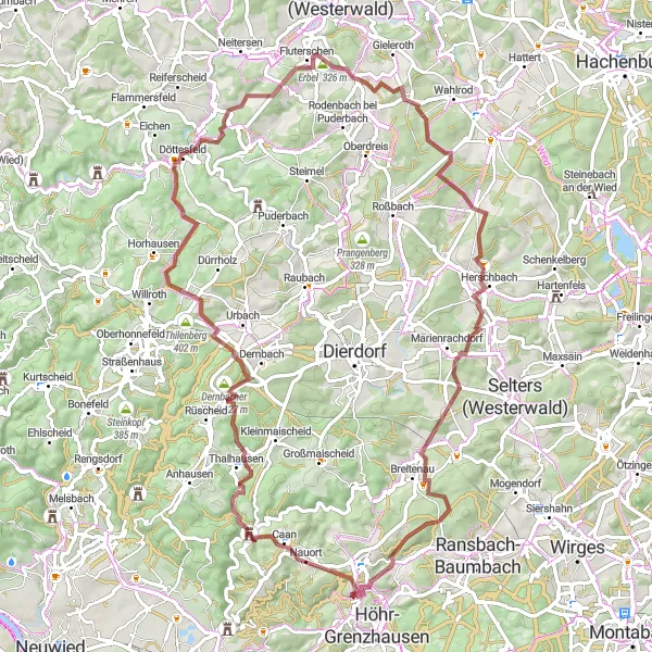
Embark on an immersive cycling journey through the Westerwald region, transporting yourself from Höhr-Grenzhausen to Dierdorf. With a challenging ascent of 1170 meters and a distance of 60 km, this route is suitable for experienced riders seeking an epic adventure. Throughout your journey, you'll encounter highlights such as the majestic Schlossberg and the historical charm of Anhausen. Prepare to be captivated by the beauty that surrounds you, characterized by rolling hills, idyllic countryside, and the fascinating heritage of the region. The combination of epic scenery and captivating landmarks ensures an unforgettable cycling experience.
Embark on an adventurous ride to the Dernbacher Kopf.
Experience the thrill of cycling with this 102-kilometer route from Höhr-Grenzhausen to the Dernbacher Kopf. With an ascent of 1564 meters, this route is suitable for experienced cyclists. Enjoy scenic views along the way, including the Schlossberg and Isenburg highlights. Don't miss the challenging climb up the Obernauer Kopf and the stunning views from the Wiesenberg peak.
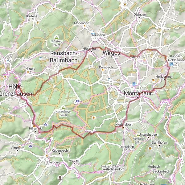
Embark on a gravel adventure, pedaling your way from Höhr-Grenzhausen to Montabaur.
Escape the beaten path as you venture into gravel cycling territory, experiencing the thrill of a gravel adventure from Höhr-Grenzhausen to Montabaur. With a moderate ascent of 618 meters and a distance of 45 km, this route is perfect for cyclists seeking an off-road challenge. Get ready to uncover hidden gems such as the scenic Heidekopf and the quaint Koppel, surrounded by rolling hills and picturesque landscapes. Montabaur, with its centuries-old architecture, offers a captivating end point to your gravel adventure.
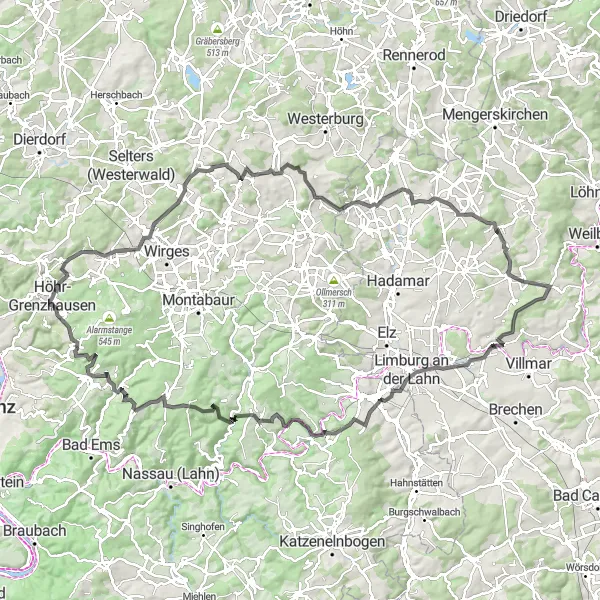
Explore the picturesque villages of Ewighausen, Zum Burgberg, and Gleisenberg on this road cycling route from Höhr-Grenzhausen.
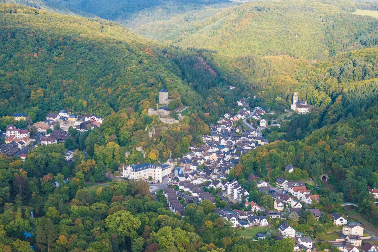
Embark on a scenic journey through the heart of German countryside as you cycle from Höhr-Grenzhausen to Ewighausen. This route offers breathtaking views of hills, valleys, and small villages, allowing you to embrace the charm and tranquility of the region. With a fairly challenging ascent and a distance of 121 km, this route is perfect for experienced cyclists seeking a rewarding challenge. The landscape is dotted with highlights such as the stunning Balduinstein and the historic Burg Runkel. Prepare to be enchanted by the beauty and history that this route has to offer.
Embark on an exciting gravel adventure from Höhr-Grenzhausen.
Experience the thrill of gravel cycling with this 79-kilometer route starting from Höhr-Grenzhausen. The route offers a mix of off-road trails and country roads, perfect for gravel enthusiasts. With an ascent of 1371 meters, the route is suitable for experienced cyclists. Along the way, make sure to stop by highlights such as the Lückenberg viewpoint and the impressive Teufelsburg castle ruins in Thilenberg.
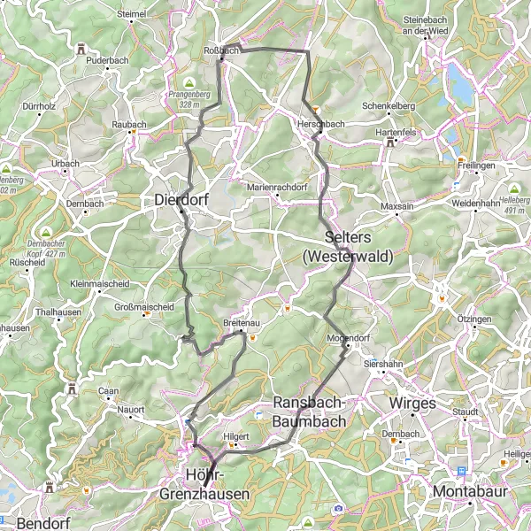
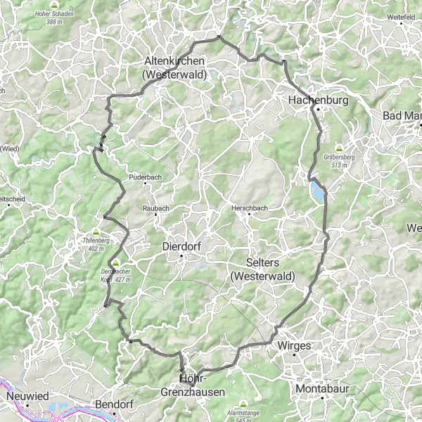
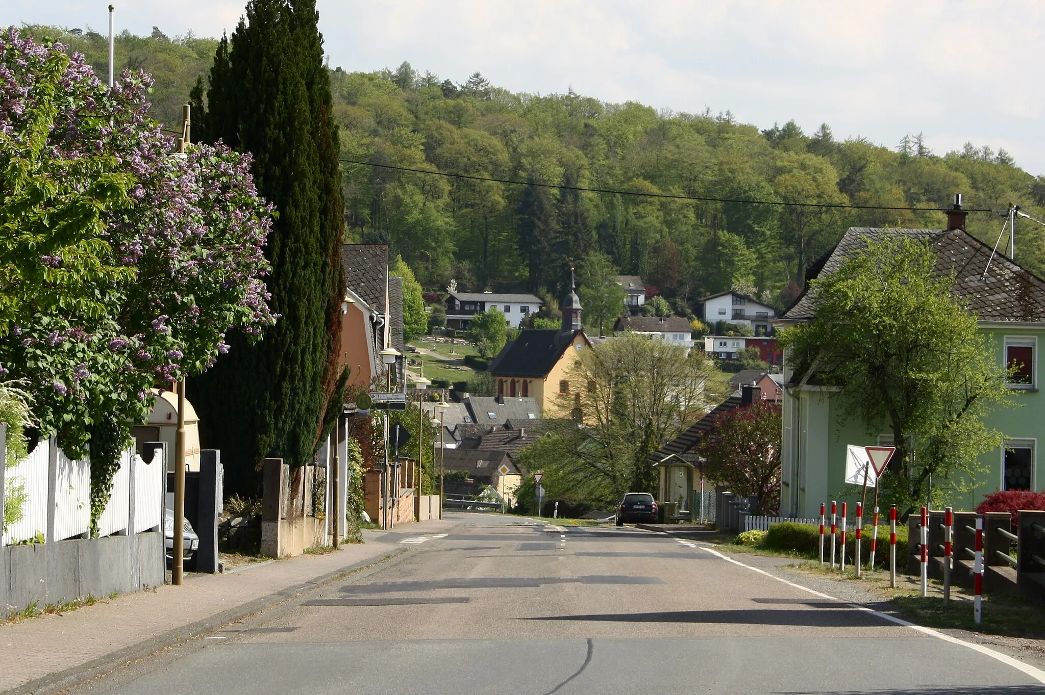
Cycle from Höhr-Grenzhausen to Selters and explore the medieval towns along the way.
Take a leisurely ride through history as you embark on a cycling route from Höhr-Grenzhausen to Selters. With an ascent of 790 meters and a distance of 56 km, this route is ideal for cyclists looking to explore the region's rich heritage at a comfortable pace. You'll encounter charming medieval towns such as Alsbach, Dierdorf, and Selters (Westerwald), each offering a unique glimpse into the past. The route combines picturesque landscapes with cultural highlights, providing a well-rounded experience. From the alluring beauty of Rödersberg to the historical significance of Wiesenberg, this route guarantees a memorable journey.
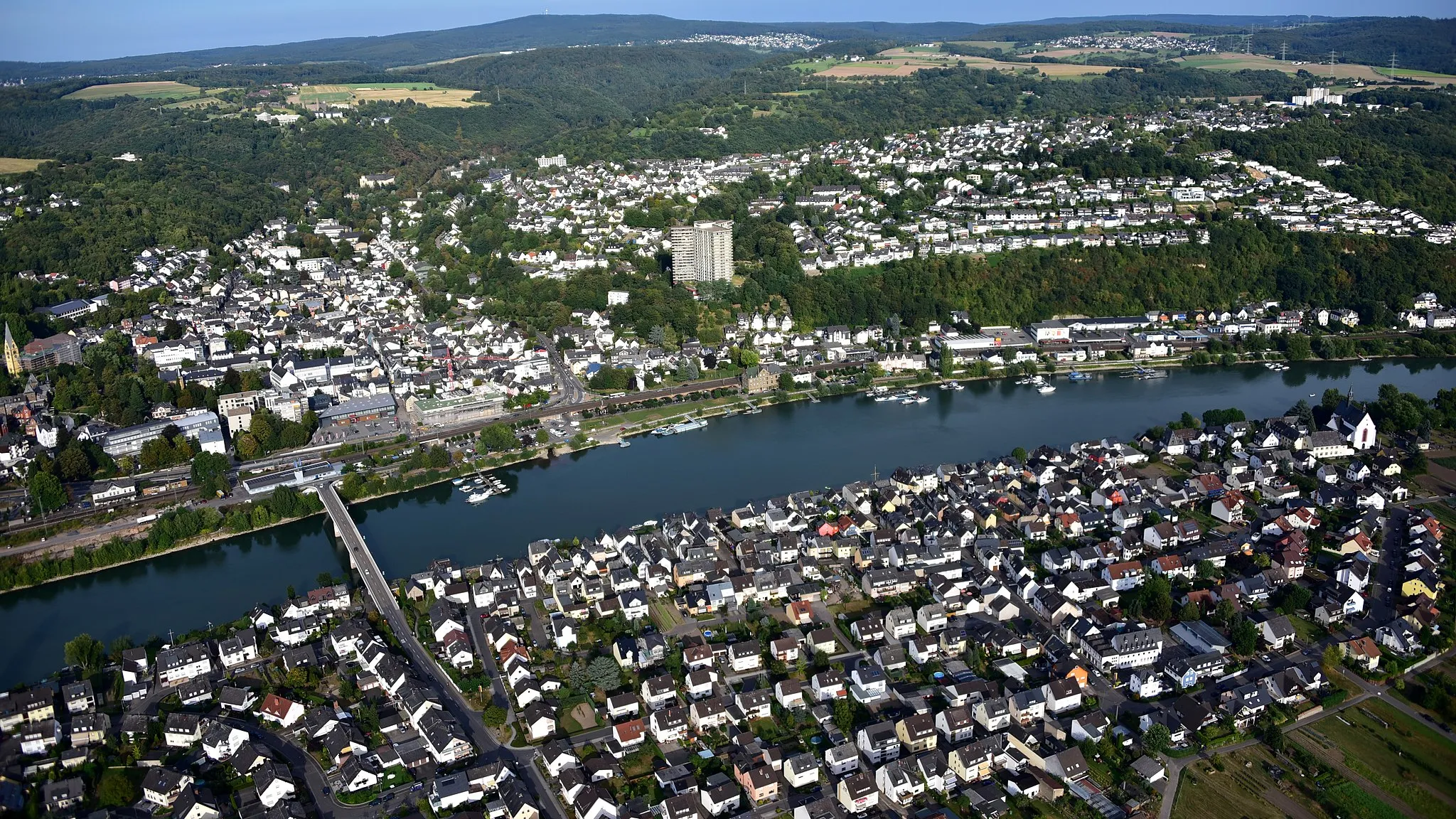
Koblenz and Boppard Loop
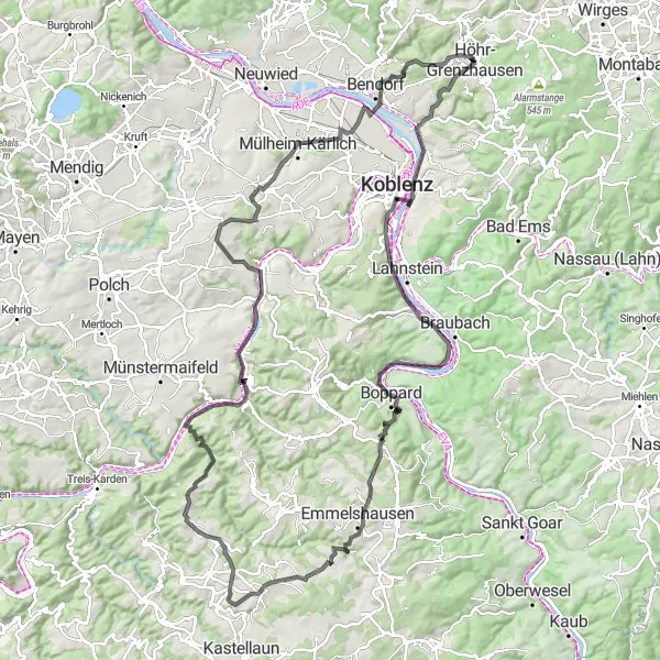
Discover the scenic beauty of Koblenz and Boppard.
Cycle along the picturesque Rhine River as you explore the beautiful cities of Koblenz and Boppard. This 128-kilometer route offers stunning views of the river and surrounding vineyards. With an ascent of 1642 meters, it is suitable for experienced cyclists. Don't miss the iconic Deutsches Eck in Koblenz and the charming town of Boppard. Be sure to take breaks at the highlights along the way, such as the Götzekopf viewpoint and the Otto-Andreas-Turm tower in Emmelshausen.
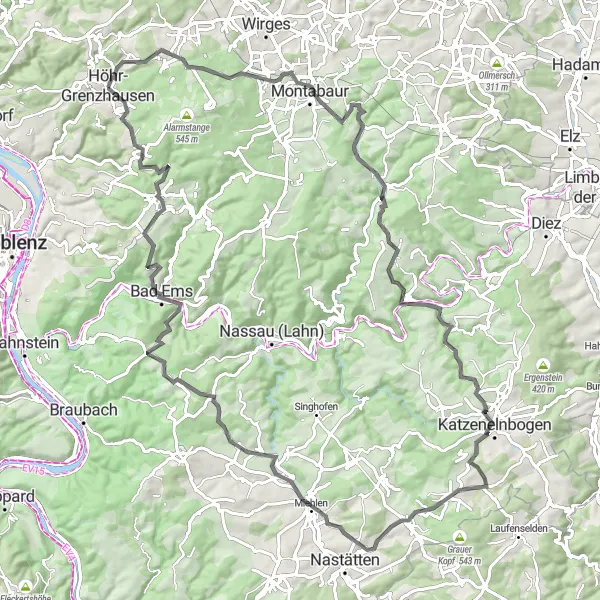
Explore the charming towns of Höhr-Grenzhausen and Katzenelnbogen.
This route takes you through the beautiful countryside around Höhr-Grenzhausen and Katzenelnbogen. Enjoy picturesque views, rolling hills, and charming towns along the way. With a total distance of 100 kilometers and an ascent of 1760 meters, this route is suitable for experienced cyclists. Take your time to stop and explore the highlights along the route, including the Malbergturm tower and the historic town of Bad Ems.
Cycling routes nearby:

Nearby regions: