Koblenz and Boppard Loop
A road cycling route starting from Hoehr-Grenzhausen
Discover the scenic beauty of Koblenz and Boppard.
Map
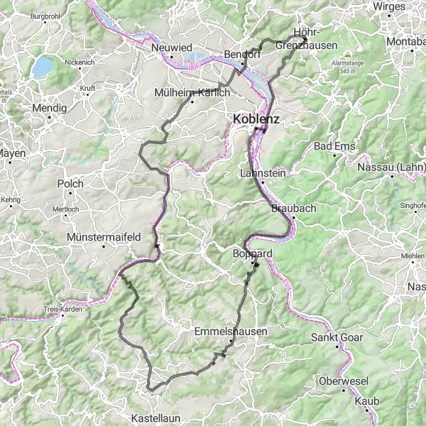
Cycle along the picturesque Rhine River as you explore the beautiful cities of Koblenz and Boppard. This 128-kilometer route offers stunning views of the river and surrounding vineyards. With an ascent of 1642 meters, it is suitable for experienced cyclists. Don't miss the iconic Deutsches Eck in Koblenz and the charming town of Boppard. Be sure to take breaks at the highlights along the way, such as the Götzekopf viewpoint and the Otto-Andreas-Turm tower in Emmelshausen.
road
128 km
1642 m
Tough
Route profile
Highlights on the route
0 km
0 km
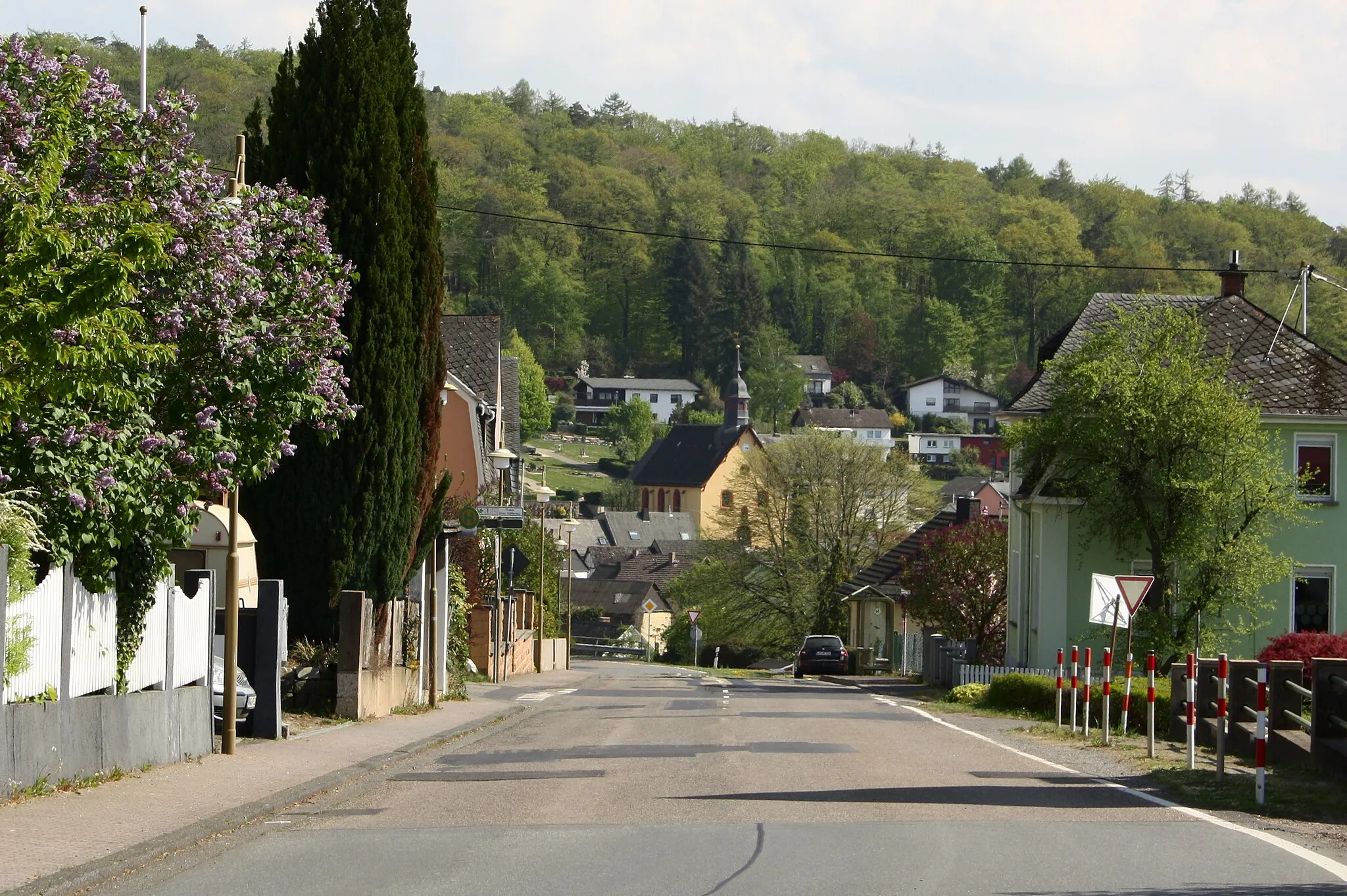
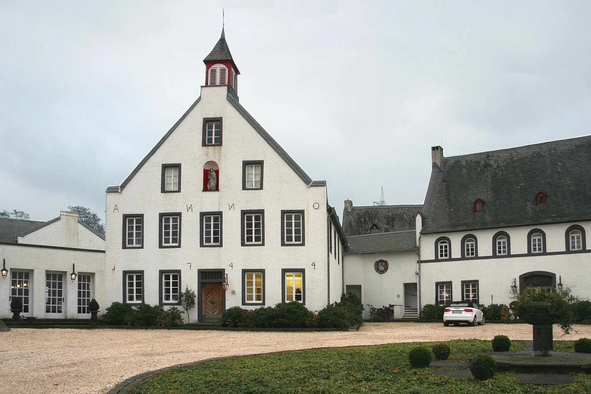
Start: Höhr-Grenzhausen City centerHöhr-Grenzhausen: Experience Varied Terrain in Höhr-Grenzhausen
Höhr-Grenzhausen is a municipality located in Koblenz, Germany. It provides a range of cycling opportunities for road and gravel cyclists. The region features both flat stretches ideal for leisure rides and challenging climbs suitable for experienced cyclists. Höhr-Grenzhausen also boasts beautiful countryside scenery and plenty of cycling-friendly routes. While there are no famous cycling-related spots directly in the locality, the surrounding areas offer access to well-known climbs such as the legendary Sauerland Loop.11 km
11 km
Deutsches EckViewpointVisit the iconic Deutsches Eck, where the Rhine and Moselle rivers meet.
14 km
14 km
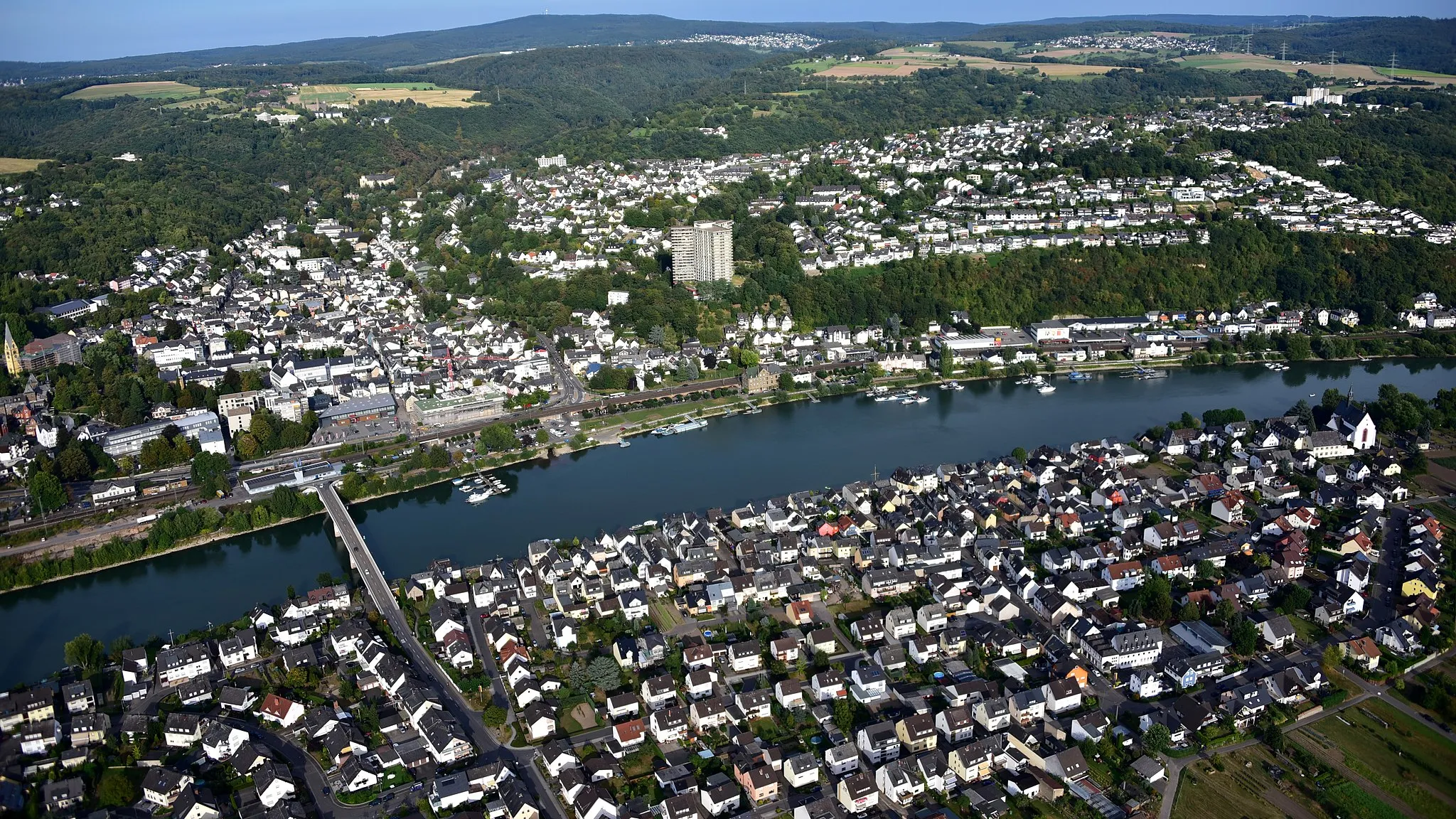
KoblenzCityExplore the historic city of Koblenz and discover its impressive architecture.
35 km
35 km
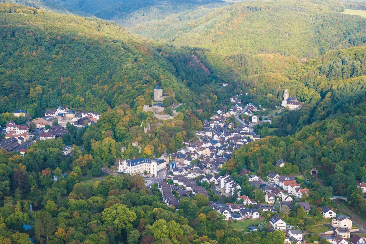
BoppardTownDiscover the charming town of Boppard, known for its medieval architecture.
42 km
42 km
Götzekopf488 mPeakClimb up the Götzekopf viewpoint and enjoy panoramic views over the Rhine Valley.
47 km
47 km
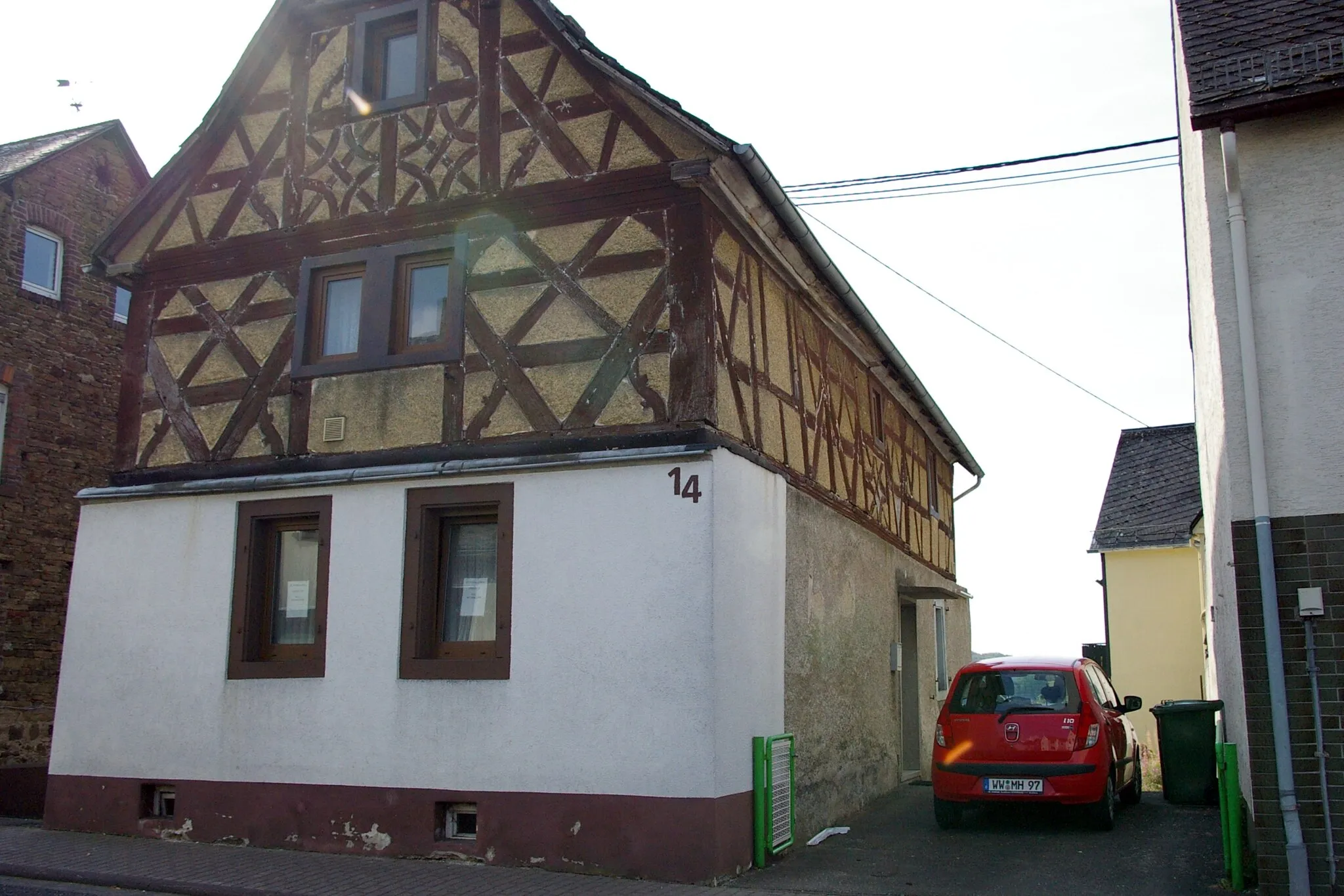
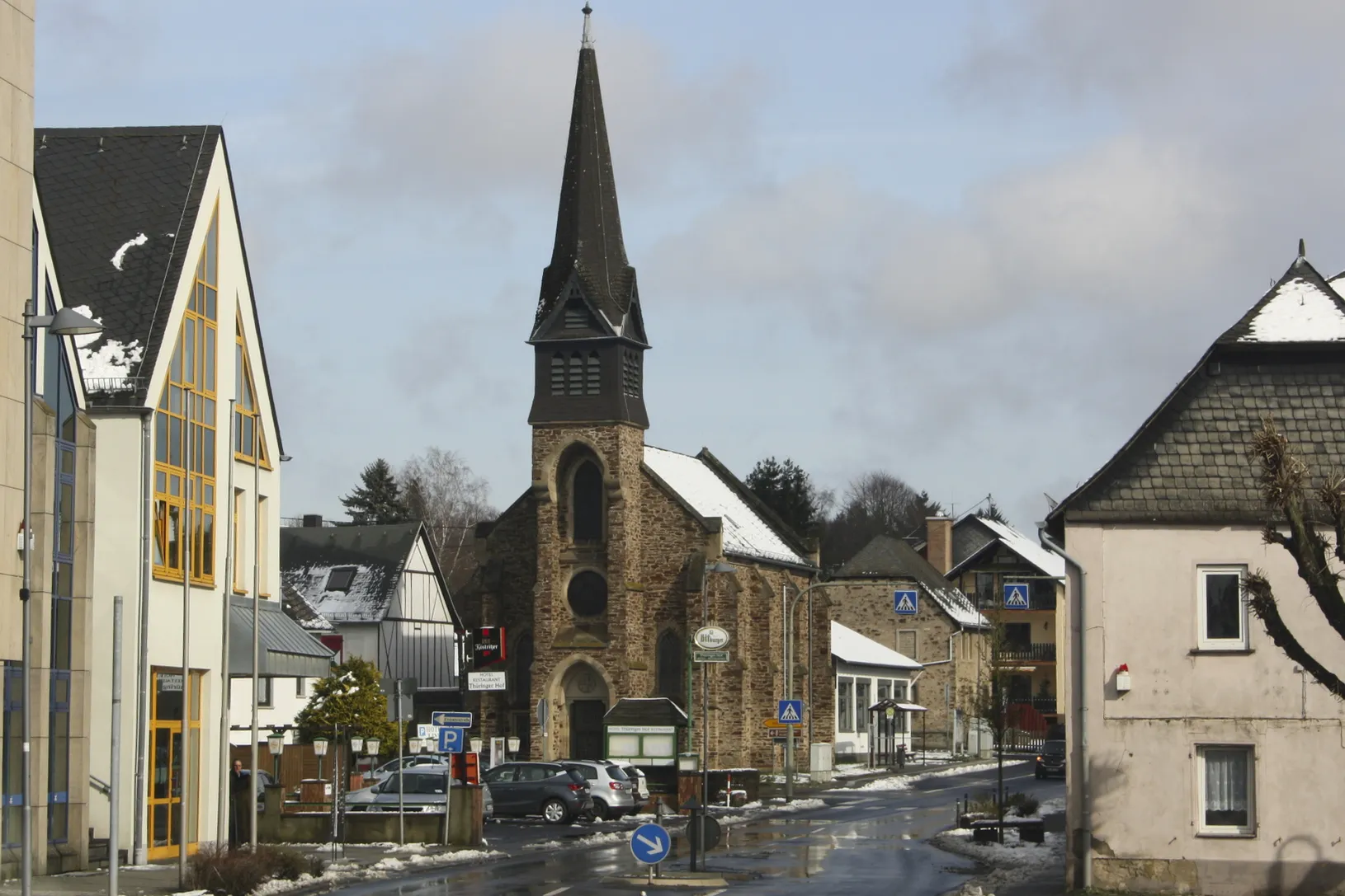
EmmelshausenTownPass through the village of Emmelshausen and admire its traditional half-timbered houses.
69 km
69 km
DommershausenVillageVisit the village of Dommershausen and enjoy the peaceful atmosphere.
71 km
71 km
Otto-Andreas-TurmViewpointClimb up the Otto-Andreas-Turm tower in Emmelshausen for panoramic views.
84 km
84 km
BrodenbachVillagePass through the idyllic village of Brodenbach and admire its charming streets.
92 km
92 km
CarlshöheViewpointVisit the Carlshöhe viewpoint and enjoy the scenic views over the Rhine River.
100 km
100 km
Karmelenberg372 mPeakEnjoy the stunning views from the Karmelenberg viewpoint near Mülheim-Kärlich.
109 km
109 km
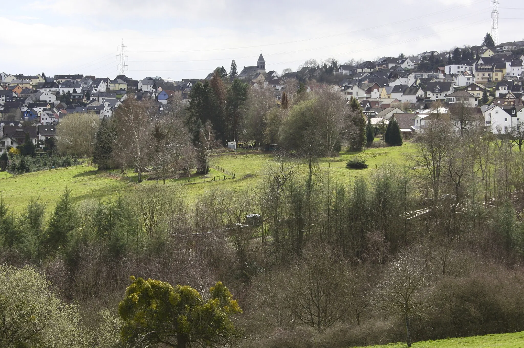
Mülheim-KärlichTownVisit the vibrant town of Mülheim-Kärlich and explore its lively atmosphere.
119 km
119 km
BendorfTownStop by Bendorf and discover its charming mixture of old and new architecture.
125 km
125 km
Eisenberg280 mPeakDiscover the historic town of Eisenberg and its impressive castle ruins.
128 km
128 km
Finish: Höhr-Grenzhausen City centerHöhr-Grenzhausen: Experience Varied Terrain in Höhr-Grenzhausen
Cycling routes from Hoehr-Grenzhausen:
Off-Road Adventure to Almersbach Westerwald Experience: Höhr-Grenzhausen to Dierdorf Gravel Adventure: Höhr-Grenzhausen to Montabaur Discovering Medieval Towns: Höhr-Grenzhausen to Sieselrs Höhr-Grenzhausen to Ewighausen: Through the Heart of Countless Villages Höhr-Grenzhausen to Katzenelnbogen Loop Höhr-Grenzhausen Gravel Adventure Höhr-Grenzhausen to Dernbacher Kopf Adventure Koblenz and Boppard Loop Höhr-Grenzhausen Rambling Gravel Ride
Cycling routes nearby: