Höhr-Grenzhausen to Katzenelnbogen Loop
A road cycling route starting from Hoehr-Grenzhausen
Explore the charming towns of Höhr-Grenzhausen and Katzenelnbogen.
Map
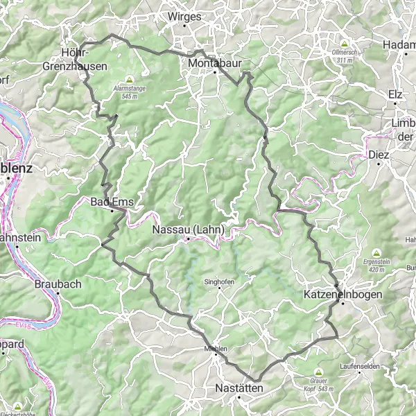
This route takes you through the beautiful countryside around Höhr-Grenzhausen and Katzenelnbogen. Enjoy picturesque views, rolling hills, and charming towns along the way. With a total distance of 100 kilometers and an ascent of 1760 meters, this route is suitable for experienced cyclists. Take your time to stop and explore the highlights along the route, including the Malbergturm tower and the historic town of Bad Ems.
road
100 km
1760 m
Tough
Route profile
Highlights on the route
0 km
0 km
Start: Höhr-Grenzhausen City centerHöhr-Grenzhausen: Experience Varied Terrain in Höhr-Grenzhausen
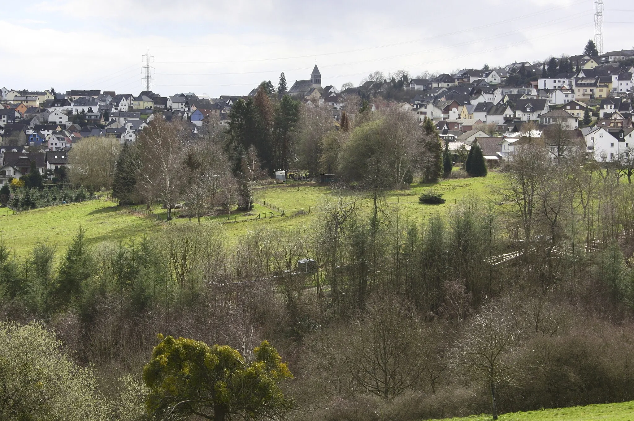
Höhr-Grenzhausen is a municipality located in Koblenz, Germany. It provides a range of cycling opportunities for road and gravel cyclists. The region features both flat stretches ideal for leisure rides and challenging climbs suitable for experienced cyclists. Höhr-Grenzhausen also boasts beautiful countryside scenery and plenty of cycling-friendly routes. While there are no famous cycling-related spots directly in the locality, the surrounding areas offer access to well-known climbs such as the legendary Sauerland Loop.0 km
0 km
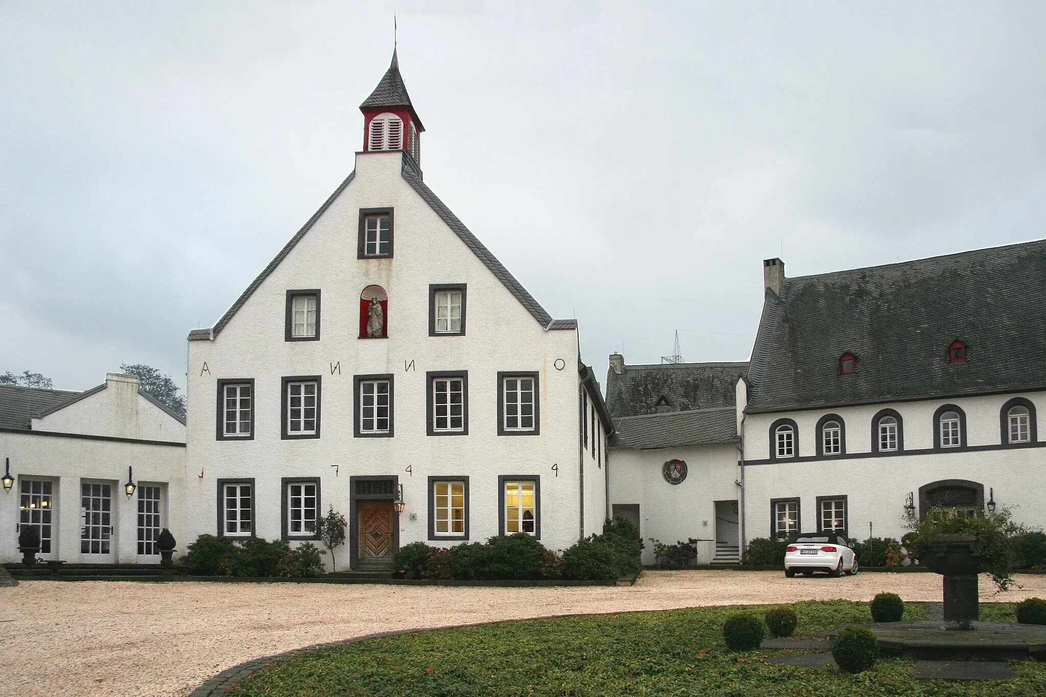
Höhr-GrenzhausenTownStart your journey in the charming town of Höhr-Grenzhausen, known for its pottery industry.
12 km
12 km
Fussenacker291 mPeakPass by the Fussenacker vineyards and enjoy the stunning views over the countryside.
24 km
24 km
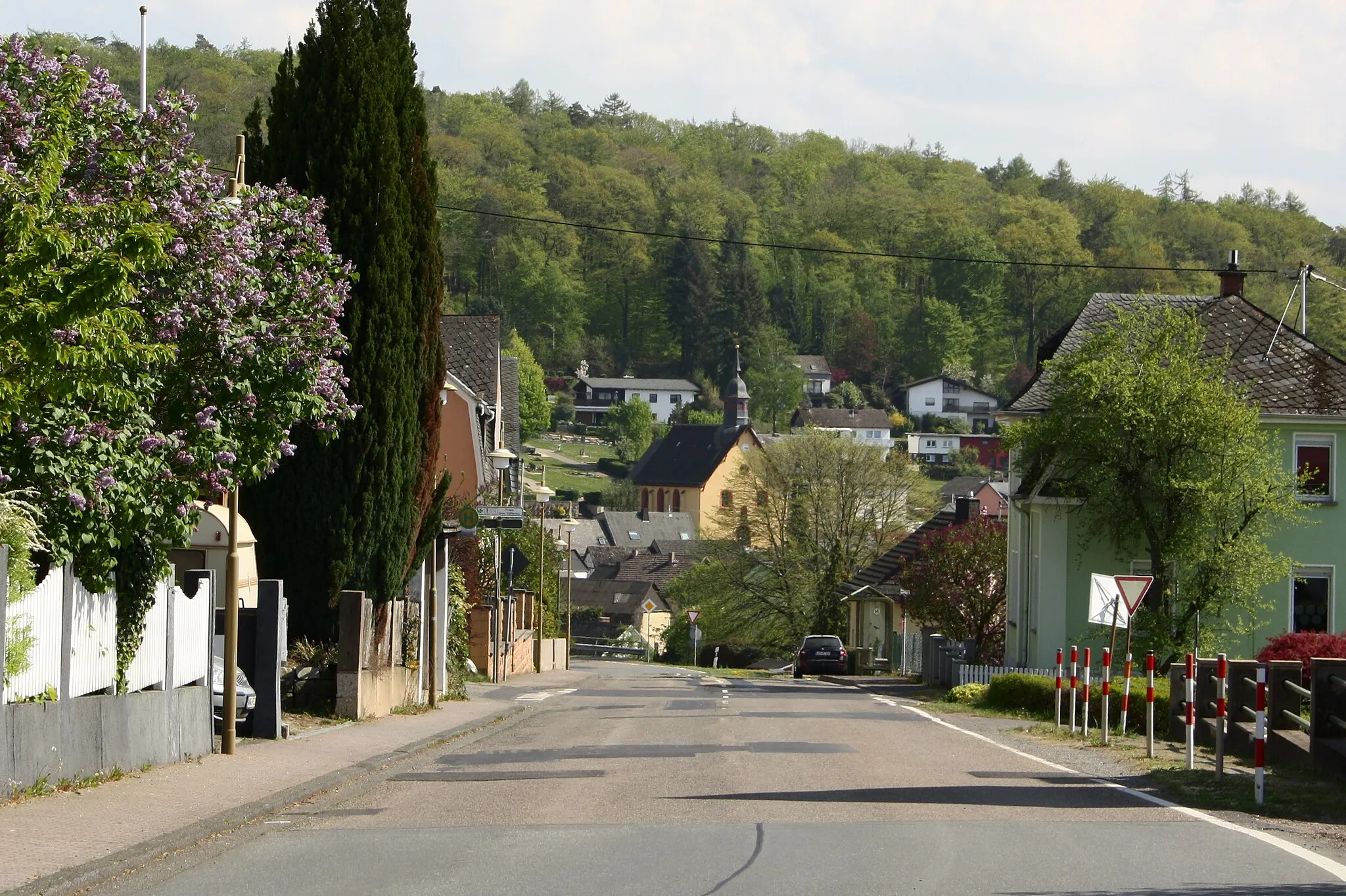
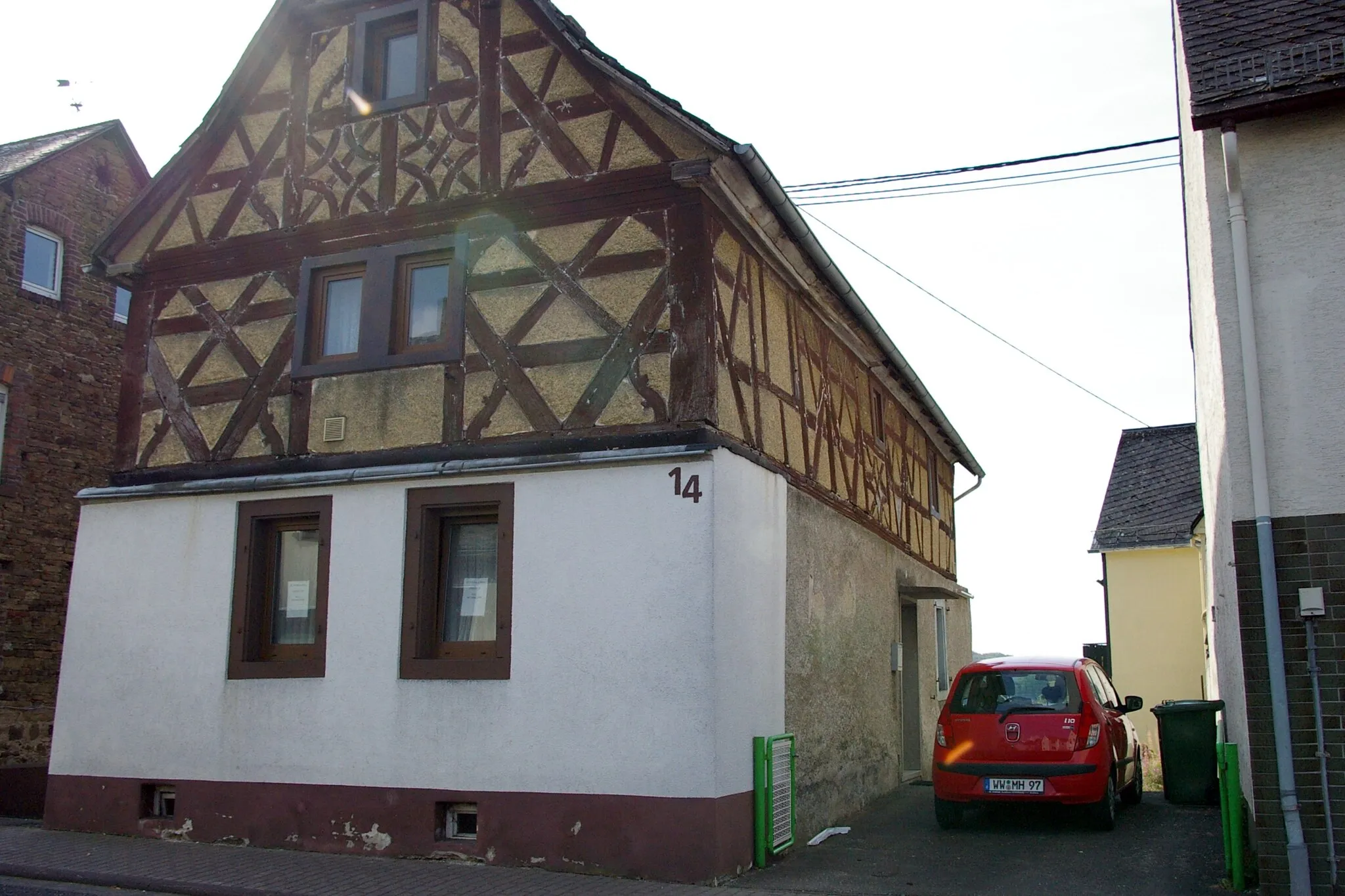
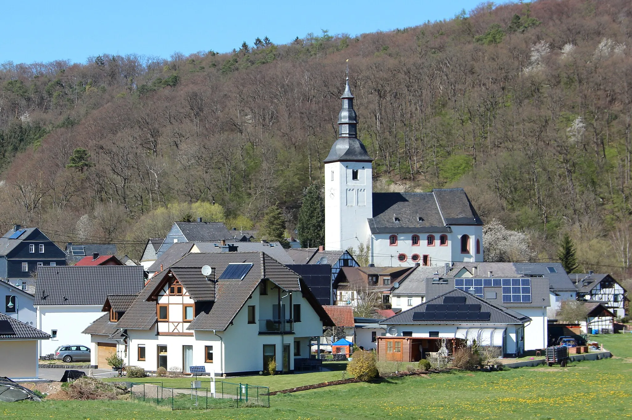
IsselbachVillageVisit the picturesque village of Isselbach and admire its half-timbered houses.
31 km
31 km
Langeberg245 mPeakClimb up the Langeberg hill and enjoy panoramic views of the surrounding area.
44 km
44 km
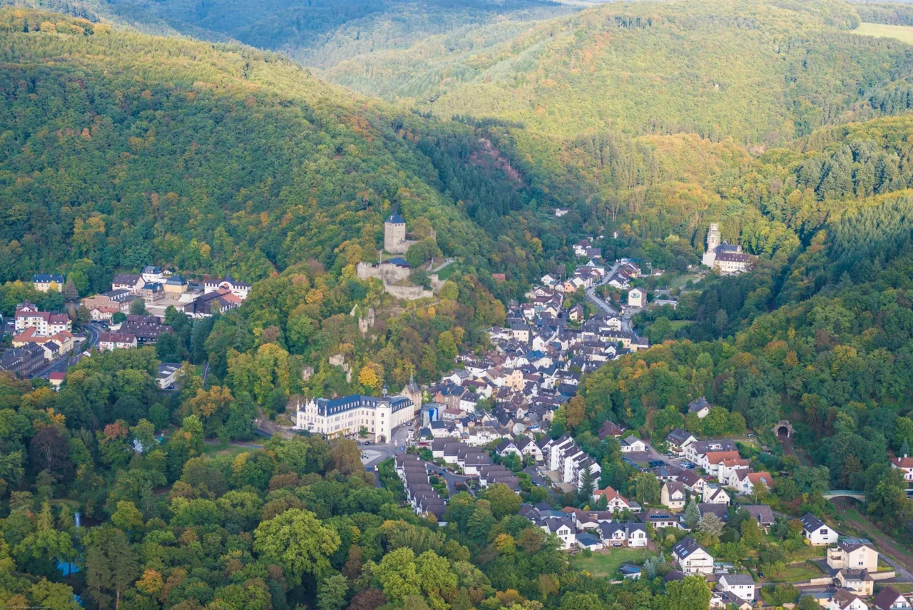
KatzenelnbogenTownExplore the historic town of Katzenelnbogen and its impressive castle.
45 km
45 km
Horst393 mPeakLocated in the town of Horst, this highlight is not worth stopping by.
63 km
63 km
MarienfelsVillagePass by the Marienfels castle ruins and learn about the history of the region.
80 km
80 km
MalbergturmViewpointClimb up the Malbergturm tower and enjoy panoramic views of the Rhine River.
82 km
82 km
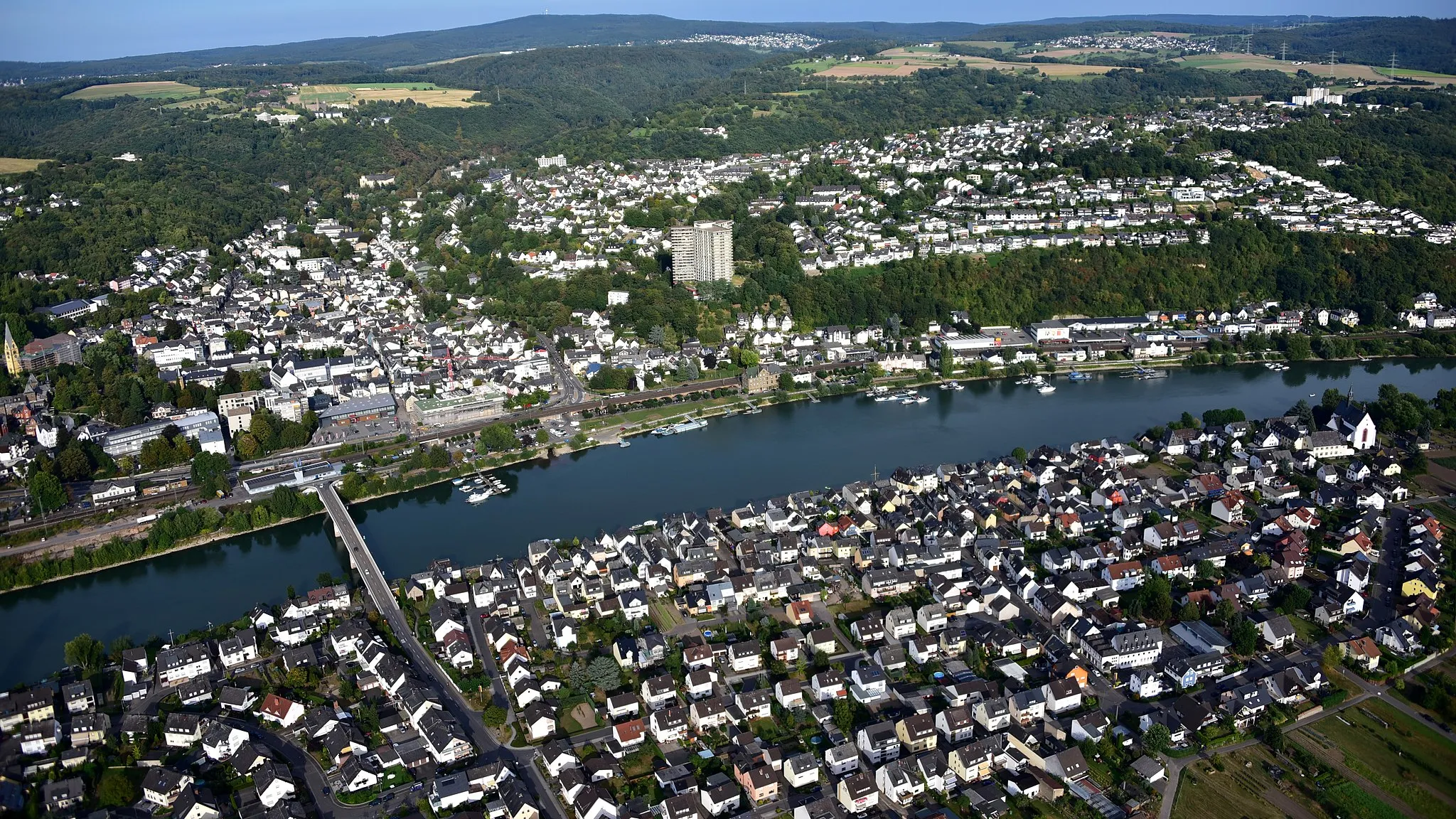
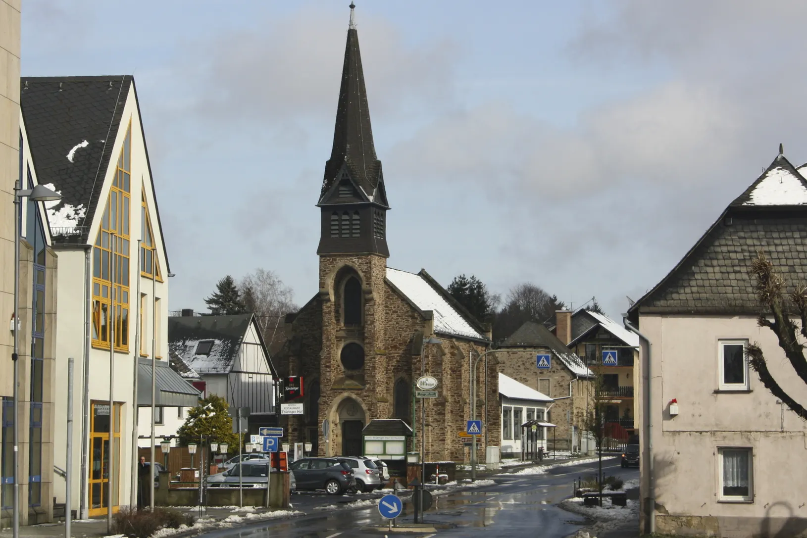
Bad EmsTownVisit the historic spa town of Bad Ems and explore its impressive architecture.
90 km
90 km
NeuhäuselVillagePass through the village of Neuhäusel and admire its charming traditional houses.
92 km
92 km
Steinrausch383 mPeakExperience the beauty of the Steinrausch nature reserve as you cycle through it.
100 km
100 km
Finish: Höhr-Grenzhausen City centerHöhr-Grenzhausen: Experience Varied Terrain in Höhr-Grenzhausen
Cycling routes from Hoehr-Grenzhausen:
Off-Road Adventure to Almersbach Westerwald Experience: Höhr-Grenzhausen to Dierdorf Gravel Adventure: Höhr-Grenzhausen to Montabaur Discovering Medieval Towns: Höhr-Grenzhausen to Sieselrs Höhr-Grenzhausen to Ewighausen: Through the Heart of Countless Villages Höhr-Grenzhausen to Katzenelnbogen Loop Höhr-Grenzhausen Gravel Adventure Höhr-Grenzhausen to Dernbacher Kopf Adventure Koblenz and Boppard Loop Höhr-Grenzhausen Rambling Gravel Ride
Cycling routes nearby: