Relax and rejuvenate on serene cycling routes amidst the picturesque beauty of Nauort.
Cycling routes from Nauort
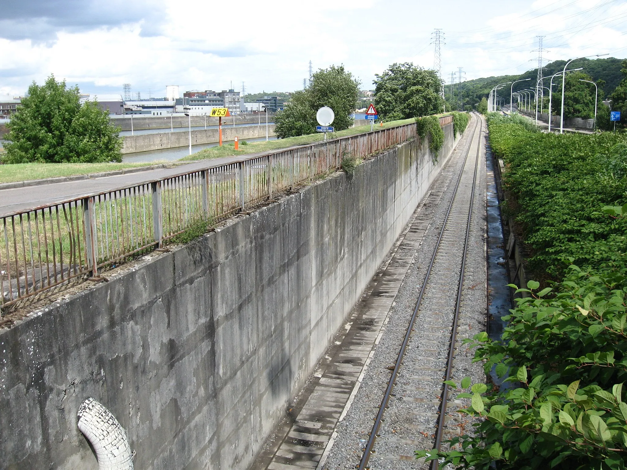
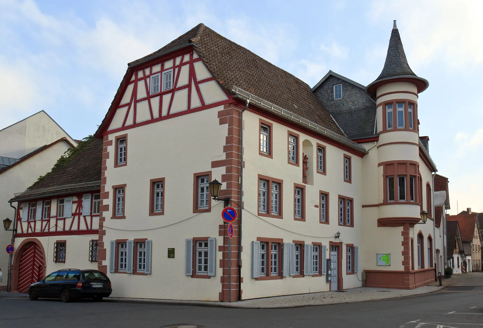
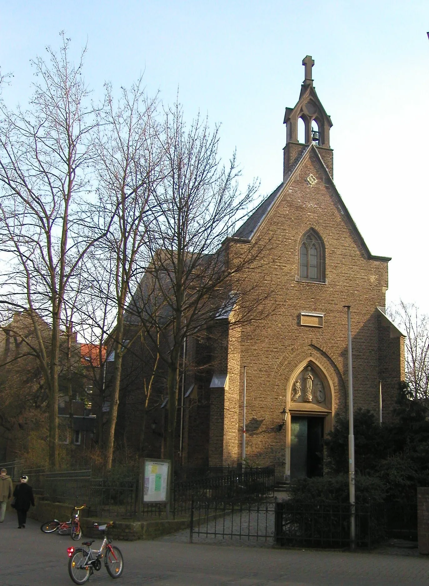
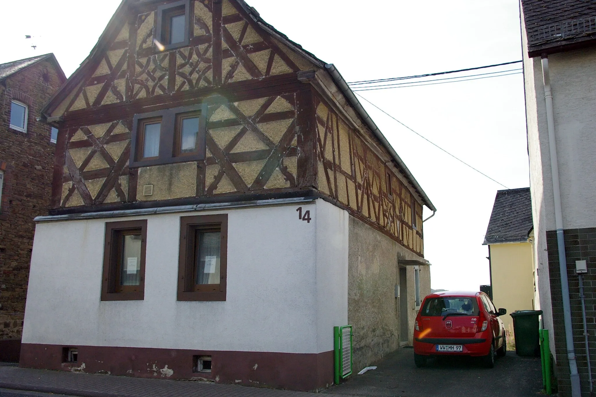
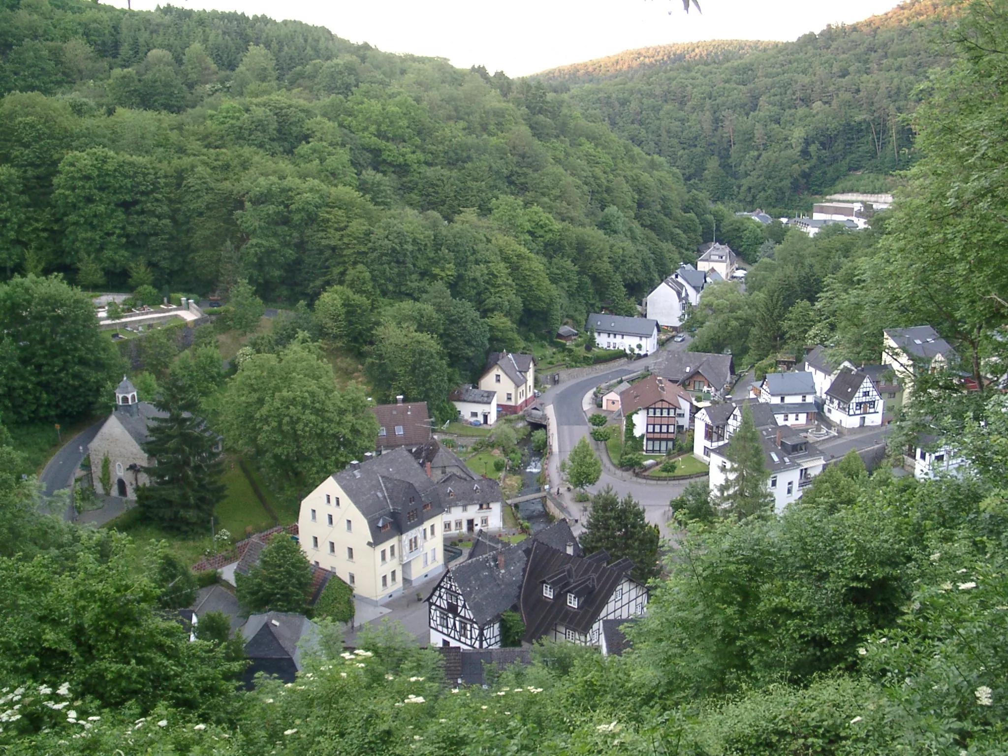
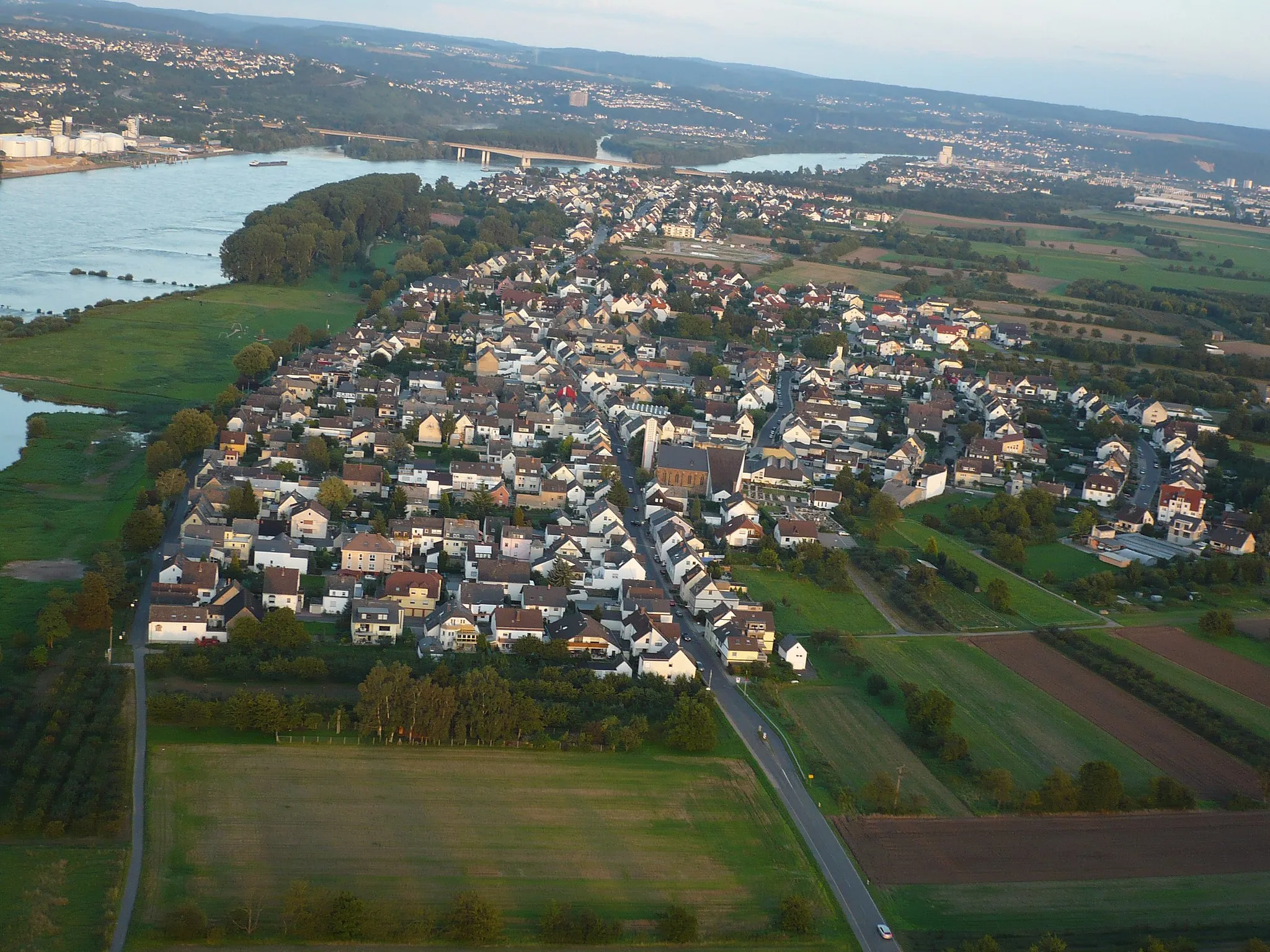
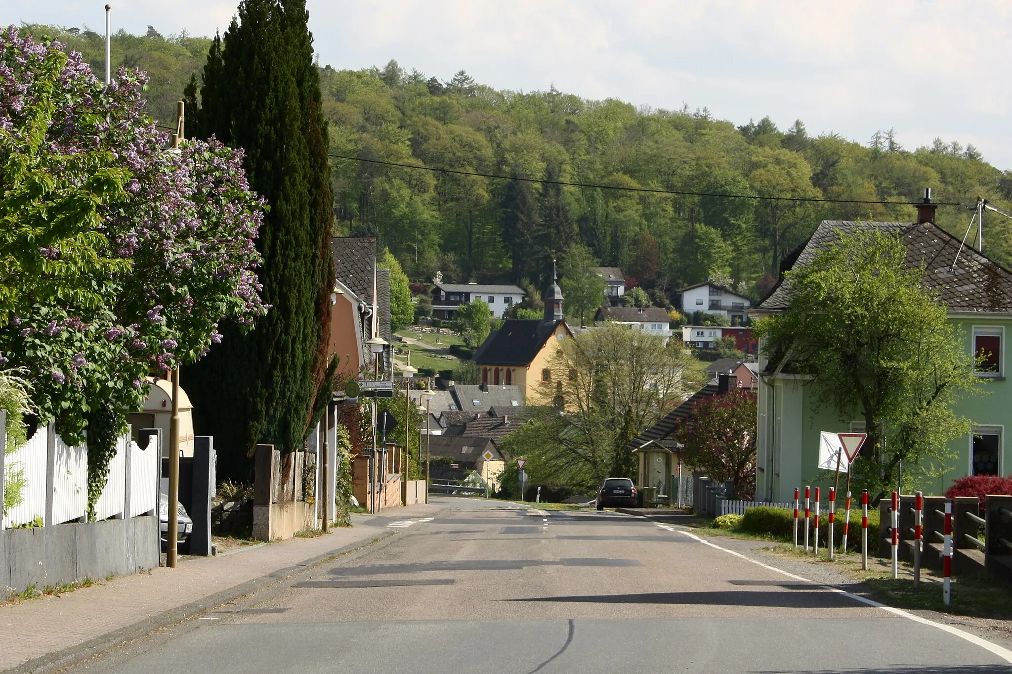
Nauort is a charming village located in the Koblenz region of Germany. From a cyclist's perspective, Nauort offers a mix of quiet country roads and gently rolling hills, making it suitable for leisurely rides and training sessions. The village itself exudes a tranquil atmosphere, with its traditional architecture and friendly locals. Cyclists can venture into the Westerwald Mountains, which provide varying degrees of climbs and scenic vistas. With its peaceful ambiance and scenic surroundings, Nauort is an ideal destination for cyclists looking to immerse themselves in nature and enjoy a reflective ride.
Cycle through the scenic regions of Isenburg and Niederbreitbach
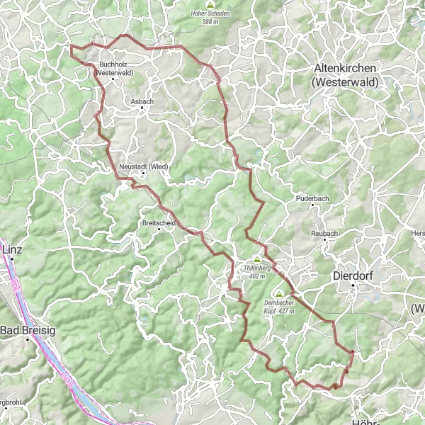
This 76-kilometer gravel route takes you through the beautiful areas of Isenburg and Niederbreitbach. With a total ascent of 1591 meters, you'll be able to enjoy breathtaking views along the way. The route offers a mix of challenging climbs and rewarding descents.
A challenging route with exhilarating climbs and rewarding descents
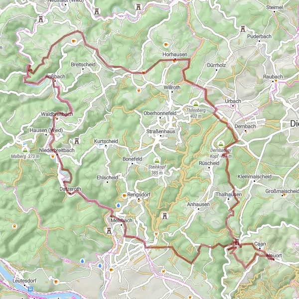
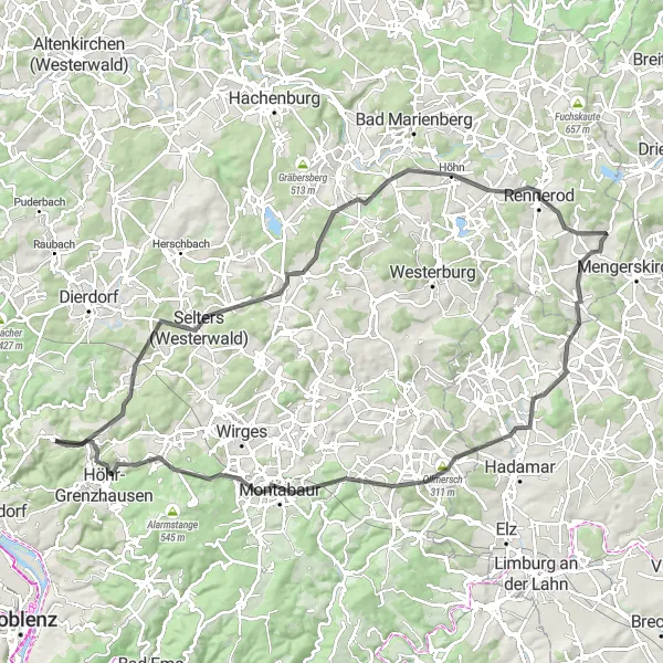
The Hill Climber's Paradise is a 99 km road cycling route designed for cyclists seeking a challenge. With an ascent of 1450 meters, this route will put riders' stamina and endurance to the test. Starting in Nauort, cyclists will encounter steep climbs and thrilling descents, passing through Rödersberg, Dierdorf, Astert, Aßberg, Bölsberg, Hahn, Ewighausen, Massenberg, Alsbach, and Schiesheck. Highlights along the route include Rödersberg, a scenic hill with panoramic views, and Hahn, a noteworthy climb known for its challenging gradient.
Moselle Meander
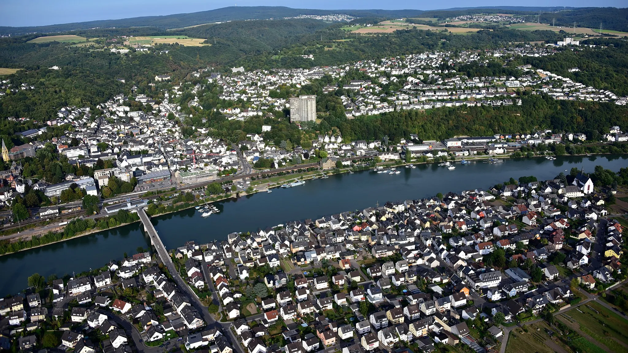
Ride along the picturesque Moselle River
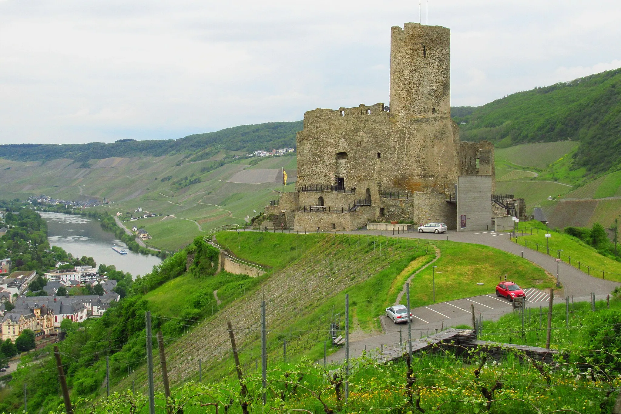
The Moselle Meander is a scenic cycling route that follows the tranquil Moselle River. This route takes cyclists through charming towns, rolling vineyards, and historic landmarks. The highlight of the ride is the breathtaking view from Vallendar, where you can see the confluence of the Moselle and Rhine Rivers. With a moderate difficulty level, this route is suitable for amateurs with some training. The epicness level of this route is moderately high, making it a memorable cycling experience.
Discover the wonders of Koblenz on a fascinating road cycling route
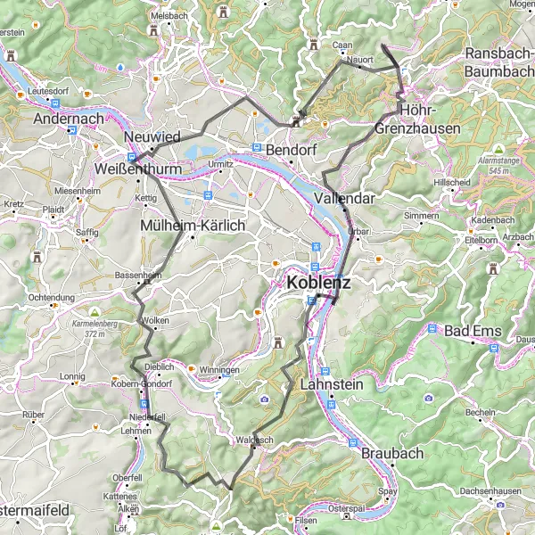
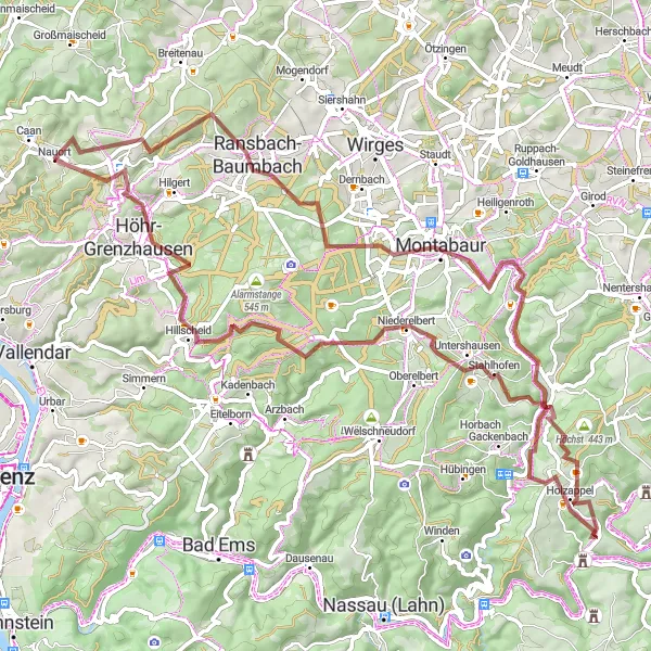
Embark on a thrilling journey of discovery as you cycle through the Koblenz Explorer route. With a distance of 102 kilometers and an ascent of 1425 meters, this road cycling adventure is ideal for enthusiasts seeking a moderate challenge. As you pedal through the picturesque countryside, be amazed by the stunning views and historical landmarks along the way. The difficulty level of this route is rated at 3, perfect for well-trained amateur cyclists. Explore the beauty of Koblenz and soak in the mesmerizing landscapes along this epic route, rated at 2. Highlights of the journey include Rödersberg, Deesen, Götzenberg, Dreisbach, Hohenscheid, Elsoff, Ollmersch, Dreikirchen, Ausblick, and Höhr-Grenzhausen.
Hills and History
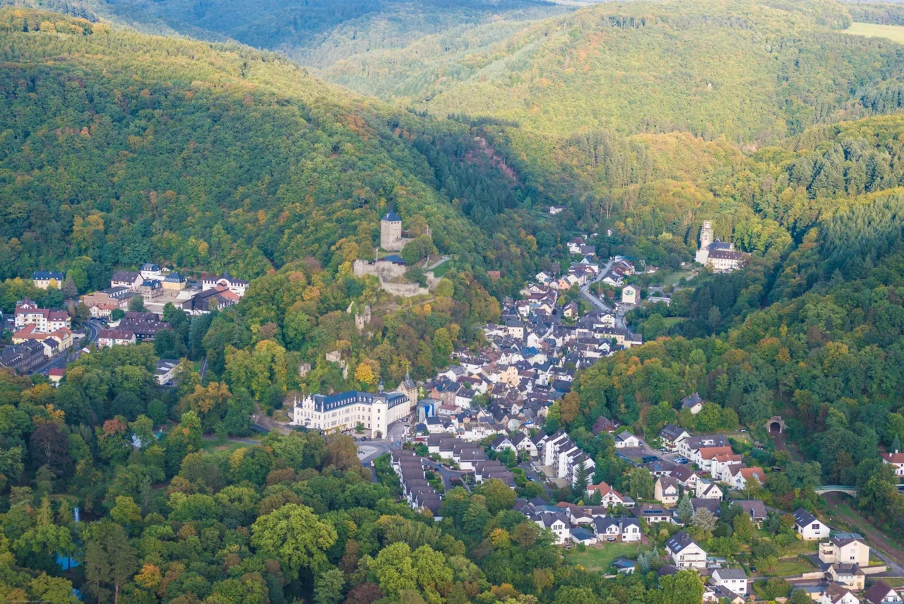
Explore the hills and historical sites of The Westerwald region
Hills and History is a gravel cycling route that combines natural beauty with cultural heritage. This scenic route takes cyclists through rolling hills, shaded forests, and charming villages, offering a mix of breathtaking landscapes and historical sites. With a moderate difficulty level, it is suitable for enthusiastic riders with some experience. The epicness level of this route is moderate, as it provides opportunities to explore both natural and historical highlights of the Westerwald.
The Gravel Adventure
A thrilling ride through gravel paths and forests
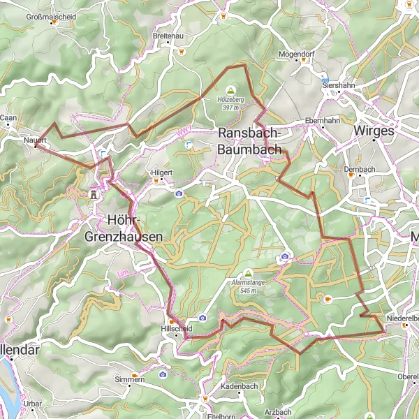
The Gravel Adventure is a 78 km cycling route suitable for gravel bikes. With an ascent of 1538 meters, this route promises a challenging and adventurous experience. Starting in Nauort, cyclists will pass through Schopp, Ransbach-Baumbach, Hainchen, Isselbach, and Alsbach. Highlights along the route include Schopp, a small village surrounded by dense forests, and Alsbach, known for its picturesque landscapes and tranquil atmosphere.
The Gravel Adventure
Embark on an adrenaline-fueled gravel adventure through picturesque landscapes
Get ready for an adrenaline-packed gravel adventure that will keep you on the edge of your seat. The Gravel Adventure route spans 99 kilometers and features an ascent of 1930 meters. Cyclists looking for an off-road challenge will find this route perfect. Unlock a world of hidden gems as you traverse through remote valleys and forests. With a difficulty level of 4, this route suits experienced cyclists seeking excitement. Rated at 3 for epicness, it promises picturesque views and unforgettable experiences. Highlights of the journey include Isenburg, Brandenberg, Niederraden, Bertenauer Kopf, Kircheib, Flammersfeld, Grenzbachtal, Großmaischeid, and Schopp.
Westerwald Adventure
Experience the rugged beauty of the Westerwald region
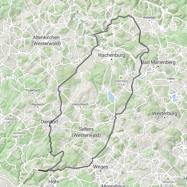
The Westerwald Adventure takes cyclists on a thrilling gravel journey through the scenic Westerwald region. This challenging route is perfect for experienced riders seeking a rugged and off-the-beaten-path adventure. With a high difficulty level, it requires excellent fitness and cycling skills. The epicness level of this route is exceptionally high, thanks to the stunning landscapes and remote areas it traverses. Along the way, riders will pass through quaint villages, dense forests, and rolling hills, offering a true taste of the Westerwald's natural beauty.
The Nauort Panoramic Loop
Experience spectacular views as you conquer the Nauort Panoramic Loop
Embark on a thrilling cycling adventure along the Nauort Panoramic Loop. With a total distance of 96 kilometers and an ascent of 1775 meters, this route is perfect for road bike enthusiasts looking for a challenge. Marvel at the breathtaking scenery as you pedal through picturesque villages and scenic countryside. The difficulty level of this route is rated at 4, suitable for well-trained amateur cyclists seeking a moderate to challenging ride. Take in the beautiful landscapes and enjoy the epicness of this route, rated at 3. The highlights along the route include Nauort, Friedrichsberg, Melsbach, Almblick, Breitscheid, Aussichtspunkt Siebengebirge, Rothardt, Puderbach, and Rabentisch.
Embark on a gravel journey through Vallendar and Bendorf
Experience the beauty of Vallendar and Bendorf with this 80-kilometer gravel route. With a total ascent of 1262 meters, this challenging ride will take you through picturesque landscapes and historic towns. Be prepared for steep climbs and thrilling descents that will test your cycling skills.
Cycling routes nearby:


Nearby regions: