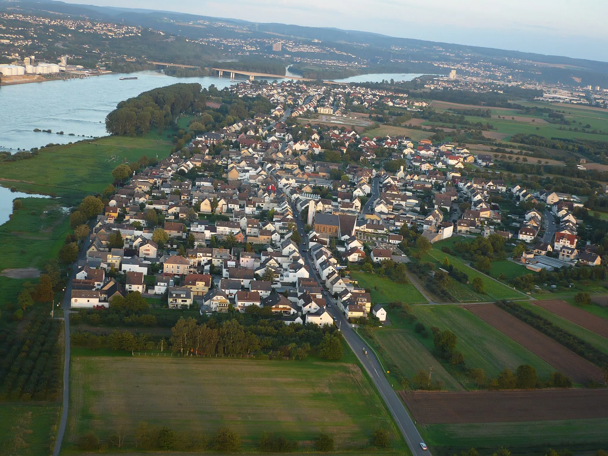
Exploring the Rhine Valley by Bike in Kaltenengers
Cycling routes from Kaltenengers
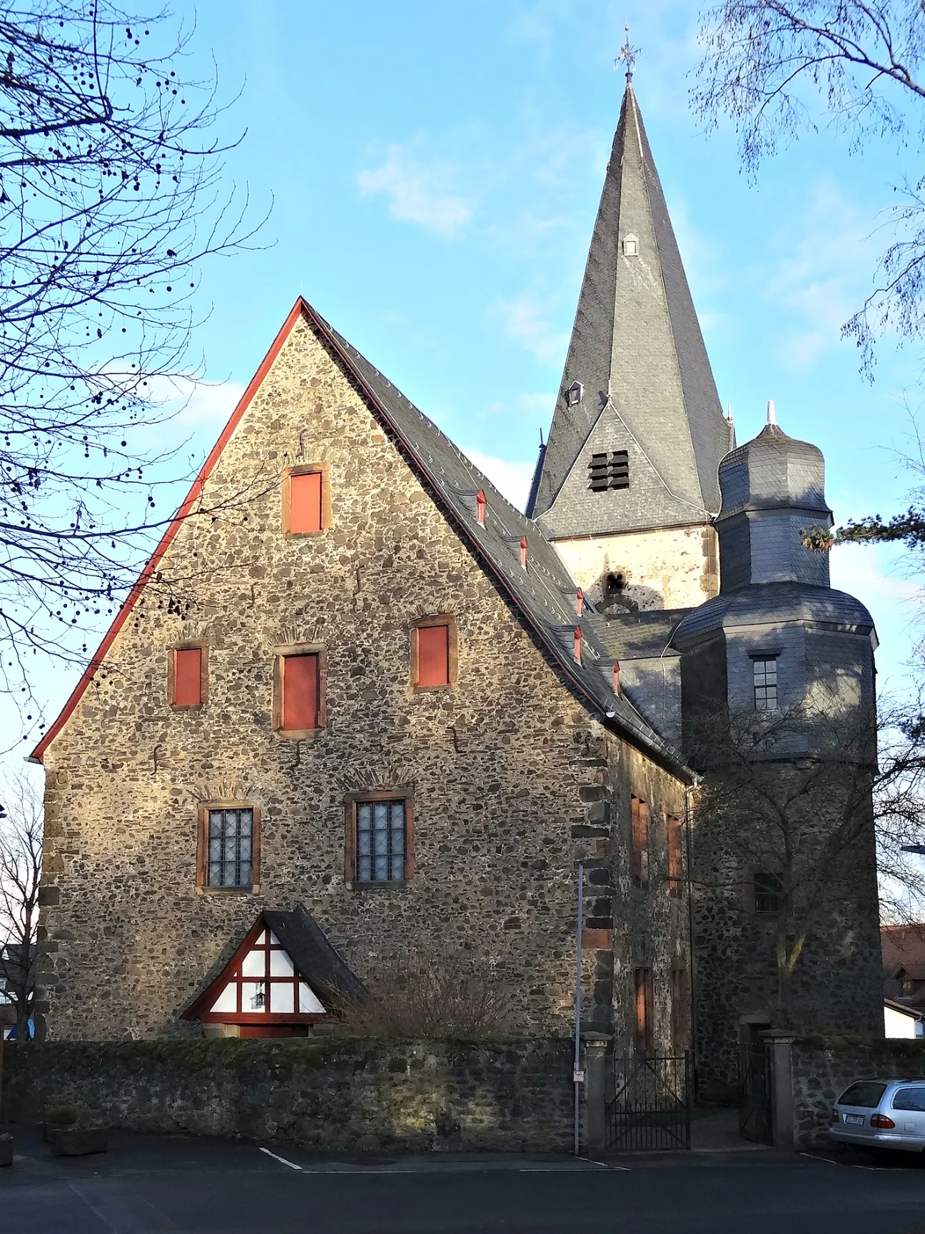
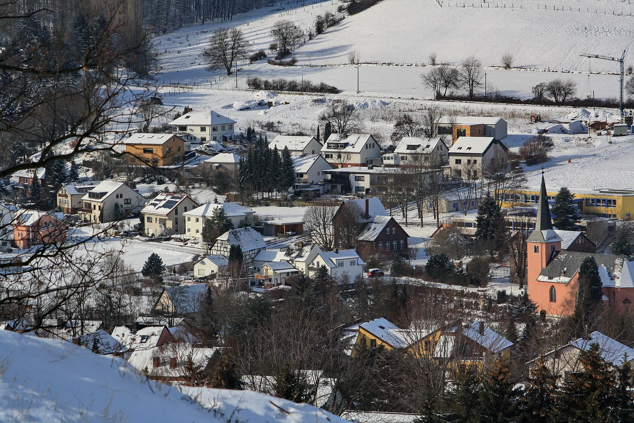
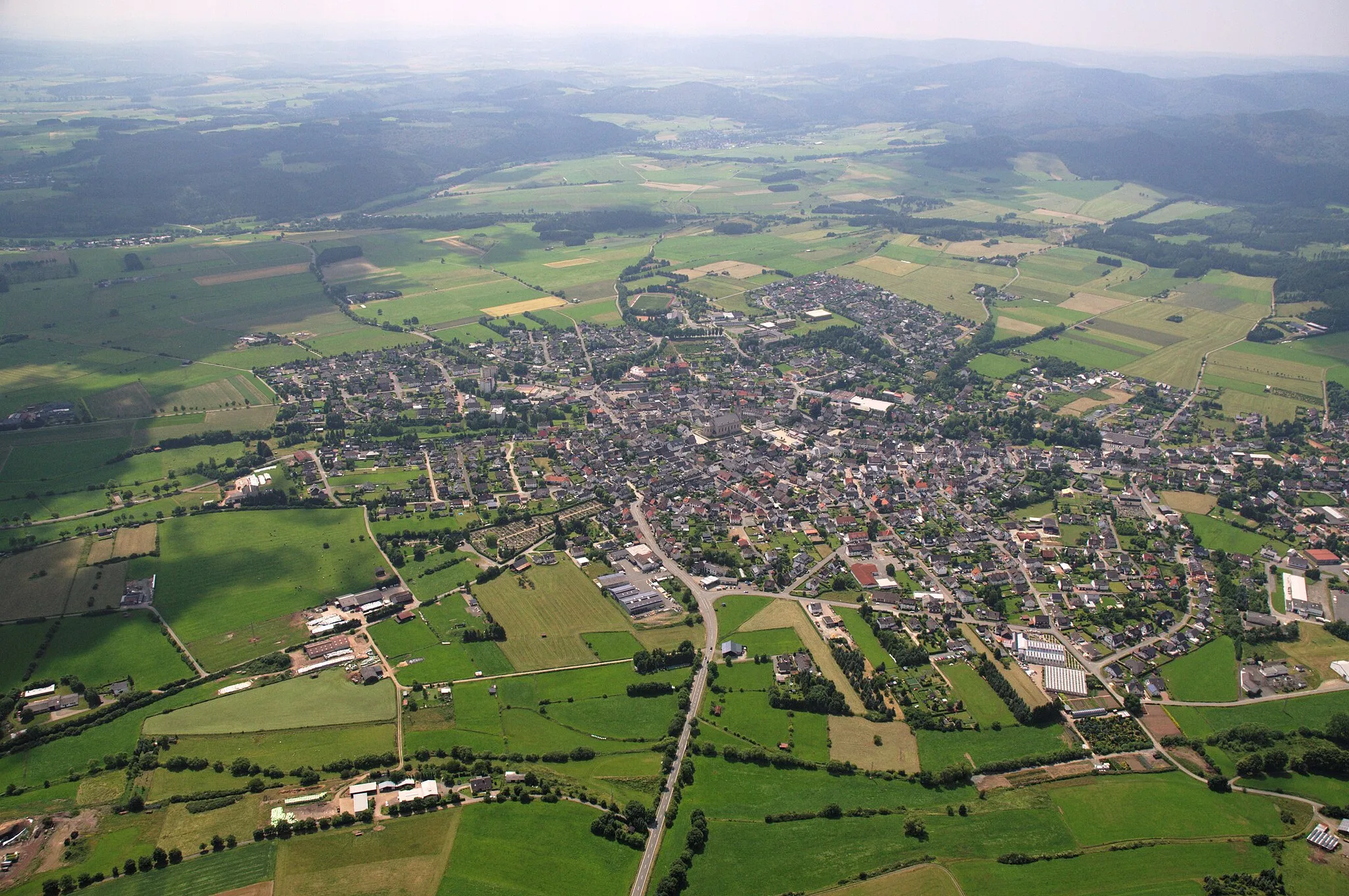
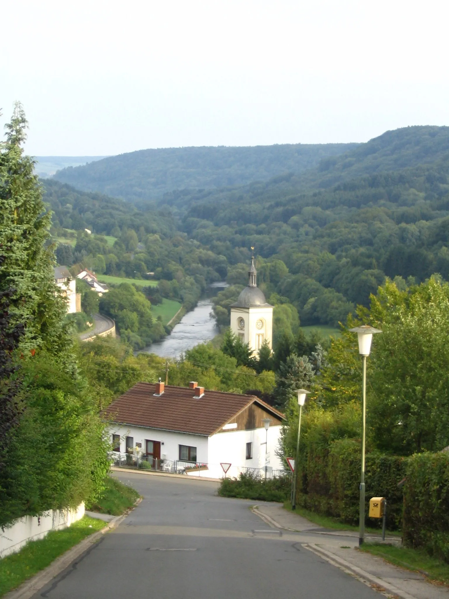
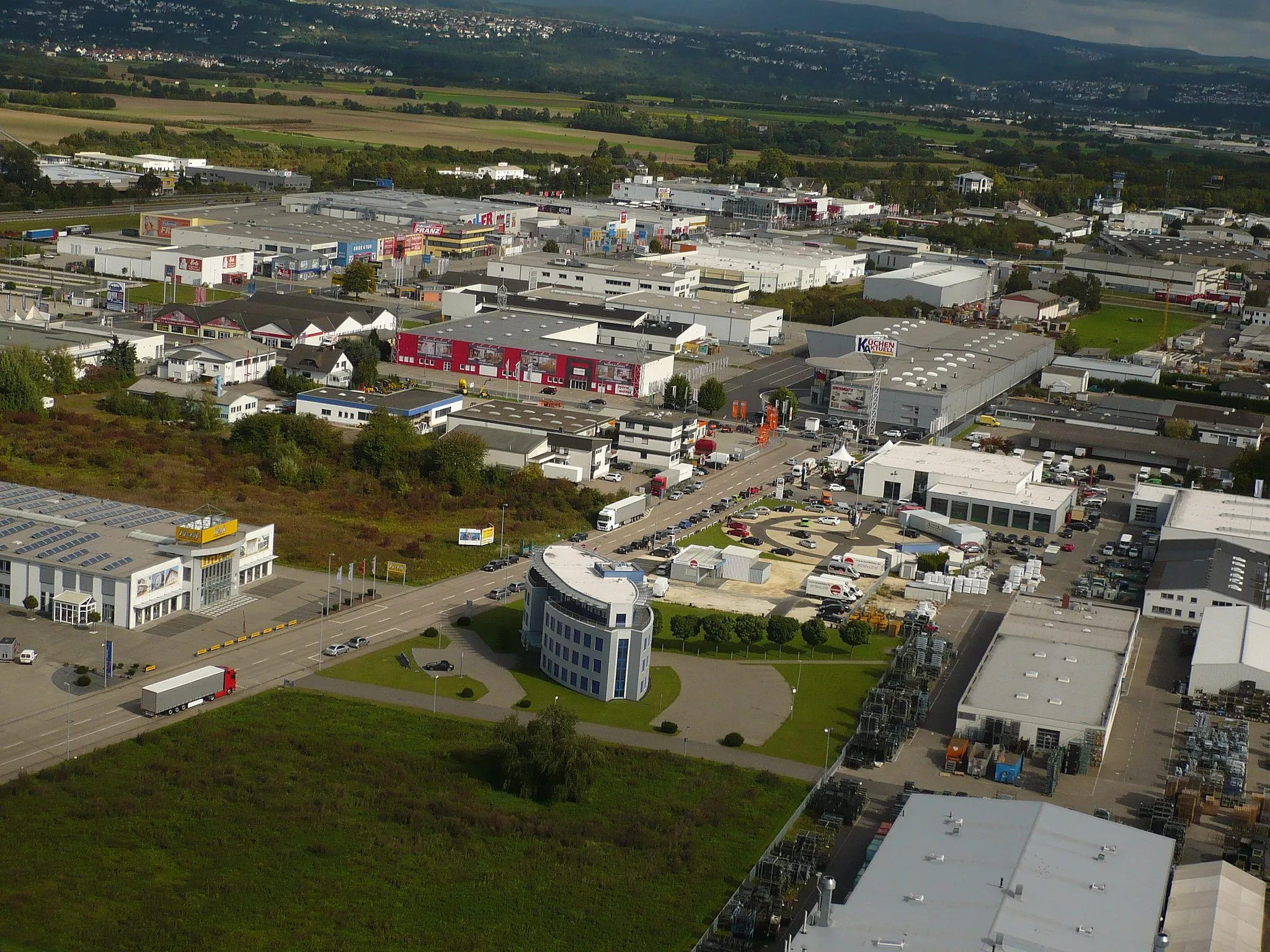
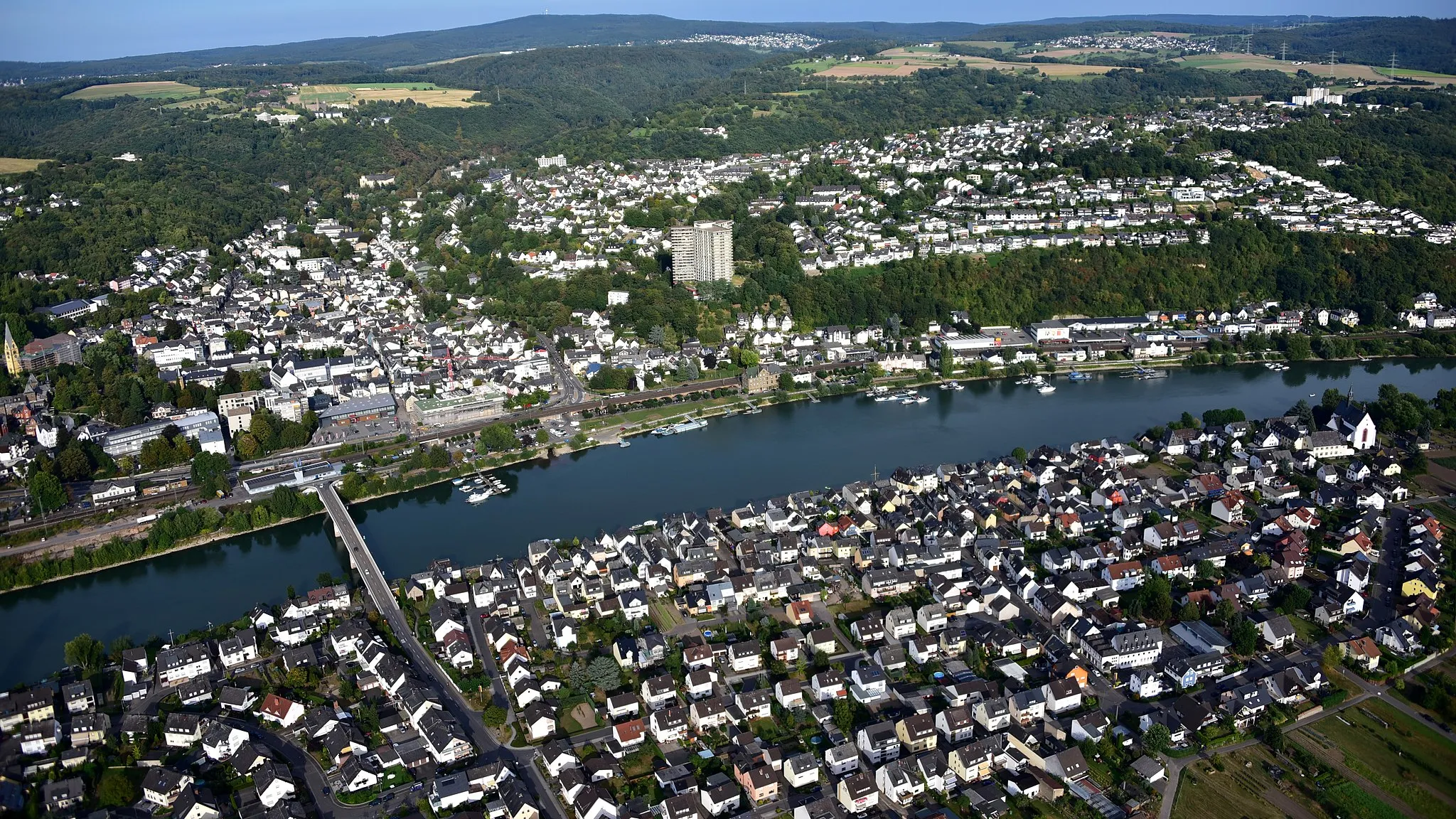
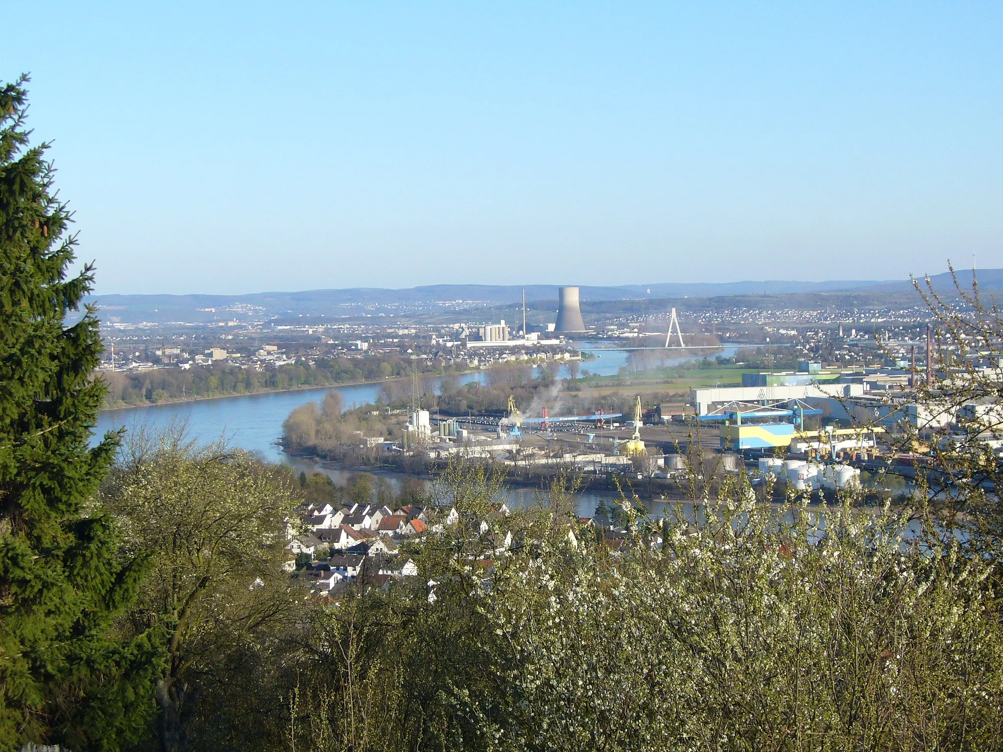
Kaltenengers, located in Koblenz, Germany, is a small town with a lot to offer to road and gravel cyclists. The area is known for its picturesque countryside and charming villages, making it an ideal destination for scenic rides. Cyclists in Kaltenengers can enjoy exploring the Rhine Valley and its surrounding hills, including the famous Mosel Wine Road, which offers stunning views. With its well-maintained cycling infrastructure and proximity to cycling-friendly towns like Koblenz, Kaltenengers is a great choice for cyclists of all levels.
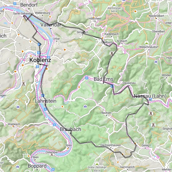
Embark on an epic road cycling journey filled with breathtaking scenery near Kaltenengers!
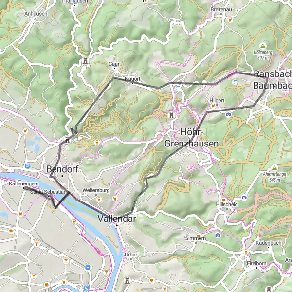
Prepare for an exhilarating road cycling escapade as you traverse 74 kilometers with an elevation gain of 979 meters. This route is designed for experienced cyclists seeking a challenge. You'll encounter rugged climbs, thrilling descents, and picturesque valleys. Highlights include Eisenköppel, Eitelborn, Bad Ems, Concordiaturm, Nassau (Lahn), Koppelstein, and Koblenz. Immerse yourself in the natural beauty of the region as you conquer this epic road cycling route.
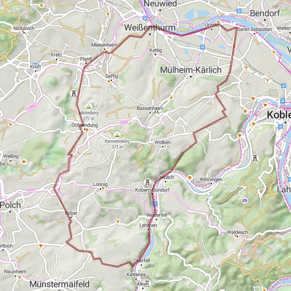
Embark on a scenic gravel journey through captivating landscapes
Embark on a scenic gravel cycling adventure starting from Kaltenengers, covering a distance of 58 km with a total ascent of 676 m. This challenging route takes you through diverse terrains, from rugged trails to expansive vistas, offering a thrilling adventure for experienced gravel riders. Immerse yourself in the beauty of the landscapes as you conquer the demanding sections and discover hidden gems along the way.
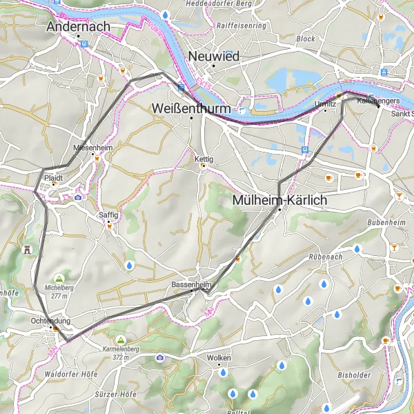
The Gravel Paradise
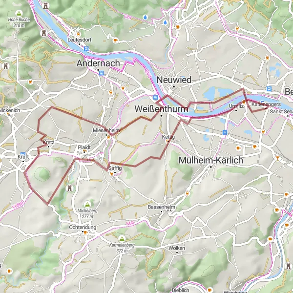
Unleash your adventurous spirit on this gravel paradise near Kaltenengers!
Saddle up for an exciting gravel cycling experience through rural landscapes and hidden gems near Kaltenengers. This 45-kilometer route, featuring an ascent gain of 376 meters, offers moderate difficulty suitable for intermediate cyclists. Highlights include Urmitz, Kettig, Plaidter Hümmerich, and Weißenthurm, providing opportunities to immerse yourself in nature and discover the charm of lesser-known towns along the way. Get ready to feel the thrill of a gravel paradise as you weave through forest trails, meandering paths, and scenic open countryside.
The Road Warrior
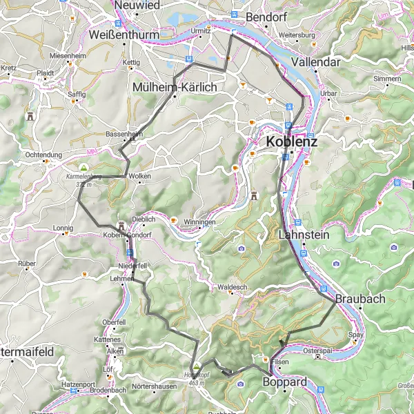
Unleash your inner road warrior and conquer challenging terrains near Kaltenengers!
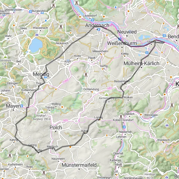
Embark on an epic 69-kilometer road cycling adventure showcasing the best of Kaltenengers' diverse landscape. With an elevation gain of 1042 meters, this route is designed for seasoned cyclists looking for a exhilarating challenge. Highlights include Sankt Sebastian, Dommelberg, Brey, Kohlberg, Carlshöhe, Kobern-Gondorf, Karmelenberg, Bassenheim, and Urmitz-Bahnhof. From challenging climbs to thrilling descents, this route promises to test your endurance and reward you with breathtaking views and unforgettable cycling memories.
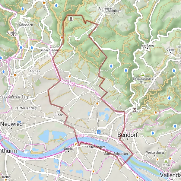
Enjoy a unique gravel adventure from Kaltenengers
Embark on a distinctive gravel cycling route starting from Kaltenengers, covering a distance of 31 km with a total ascent of 446 m. This off-road journey offers the opportunity to explore scenic landscapes and rural areas, providing a refreshing escape from the city. Embrace the challenge of the uneven terrain and feel the thrill of venturing into less-traveled paths.
Immerse yourself in the beauty of the surrounding landscapes on this scenic road cycling route
Embark on a picturesque road cycling journey starting from Kaltenengers, covering a distance of 36 km with a total ascent of 225 m. This route offers a mix of gentle slopes and flat sections, perfect for cyclists seeking a leisurely and enjoyable ride. Enjoy the stunning views of the countryside and the charming towns that dot the landscape.

Conquer the ultimate gravel challenge near Kaltenengers and explore breathtaking landscapes!
Get ready for an adrenaline-pumping, 91-kilometer gravel adventure that will push your limits and take you to stunning heights. With a challenging terrain and an elevation gain of 1607 meters, this route is designed for experienced cyclists seeking the ultimate challenge. Brace yourself for encounters with the legendary Köppel, Niederraden, Grenzbachtal, Neitersen, Schöne Aussicht, Rödersberg, Sankt Sebastian, Wirscheid, Schöll, and Sankt Sebastian. Along the route, you'll witness jaw-dropping views, conquer demanding climbs, and experience the thrill of conquering famous cycling spots.
The Gravel Adventure
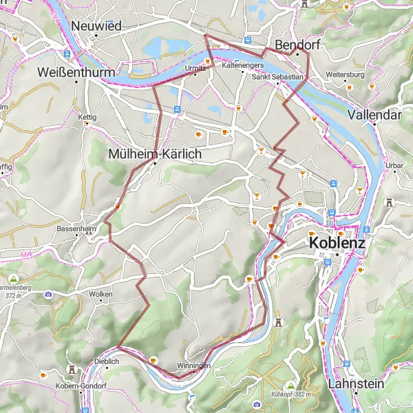
Explore the hidden gems of Kaltenengers on this thrilling gravel route!
This route takes you on an exciting gravel adventure through picturesque landscapes and charming villages near Kaltenengers. With a moderate difficulty level, it is suitable for well-trained amateur cyclists. Covering a distance of 43 kilometers and an elevation gain of 396 meters, this route offers a great mix of excitement and tranquility. Get ready to discover the Foucault pendulum, Über'm Rath, Elling, Dieblich, and Urmitz as the key highlights along the route.
Experience the beauty of the rural landscape on this road cycling route
Embark on a scenic road cycling adventure starting from Kaltenengers, covering a distance of 41 km with a total ascent of 530 m. Pedal through picturesque countryside and charming villages, immersing yourself in the tranquil atmosphere of the region. With varied terrain and captivating scenery, this route promises a memorable journey for cyclists seeking to reconnect with nature.
Immerse yourself in the beauty of the countryside on this road cycling adventure
Embark on a scenic road cycling journey starting from Kaltenengers, covering a distance of 73 km with a total ascent of 708 m. This route offers a mix of challenging climbs and breathtaking descents, promising an exhilarating experience for cyclist of all skill levels. Enjoy the picturesque landscapes and charming towns along the way, as you soak in the natural beauty of the region.
Cycling routes nearby:


Nearby regions: