The Road Warrior
A road cycling route starting from Kaltenengers
Unleash your inner road warrior and conquer challenging terrains near Kaltenengers!
Map
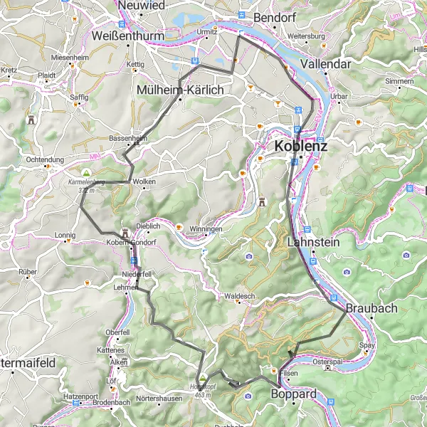
Embark on an epic 69-kilometer road cycling adventure showcasing the best of Kaltenengers' diverse landscape. With an elevation gain of 1042 meters, this route is designed for seasoned cyclists looking for a exhilarating challenge. Highlights include Sankt Sebastian, Dommelberg, Brey, Kohlberg, Carlshöhe, Kobern-Gondorf, Karmelenberg, Bassenheim, and Urmitz-Bahnhof. From challenging climbs to thrilling descents, this route promises to test your endurance and reward you with breathtaking views and unforgettable cycling memories.
road
69 km
1042 m
Tough
Route profile
Highlights on the route
0 km
0 km
Start: Kaltenengers Village centerKaltenengers: Exploring the Rhine Valley by Bike in Kaltenengers
Kaltenengers, located in Koblenz, Germany, is a small town with a lot to offer to road and gravel cyclists. The area is known for its picturesque countryside and charming villages, making it an ideal destination for scenic rides. Cyclists in Kaltenengers can enjoy exploring the Rhine Valley and its surrounding hills, including the famous Mosel Wine Road, which offers stunning views. With its well-maintained cycling infrastructure and proximity to cycling-friendly towns like Koblenz, Kaltenengers is a great choice for cyclists of all levels.1 km
1 km
Sankt SebastianVillageAs you begin your road warrior journey, stop by Sankt Sebastian and soak in the historical charm and welcoming atmosphere of this quaint town.
13 km
13 km
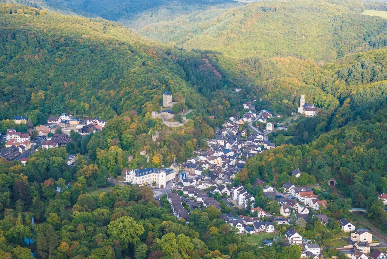
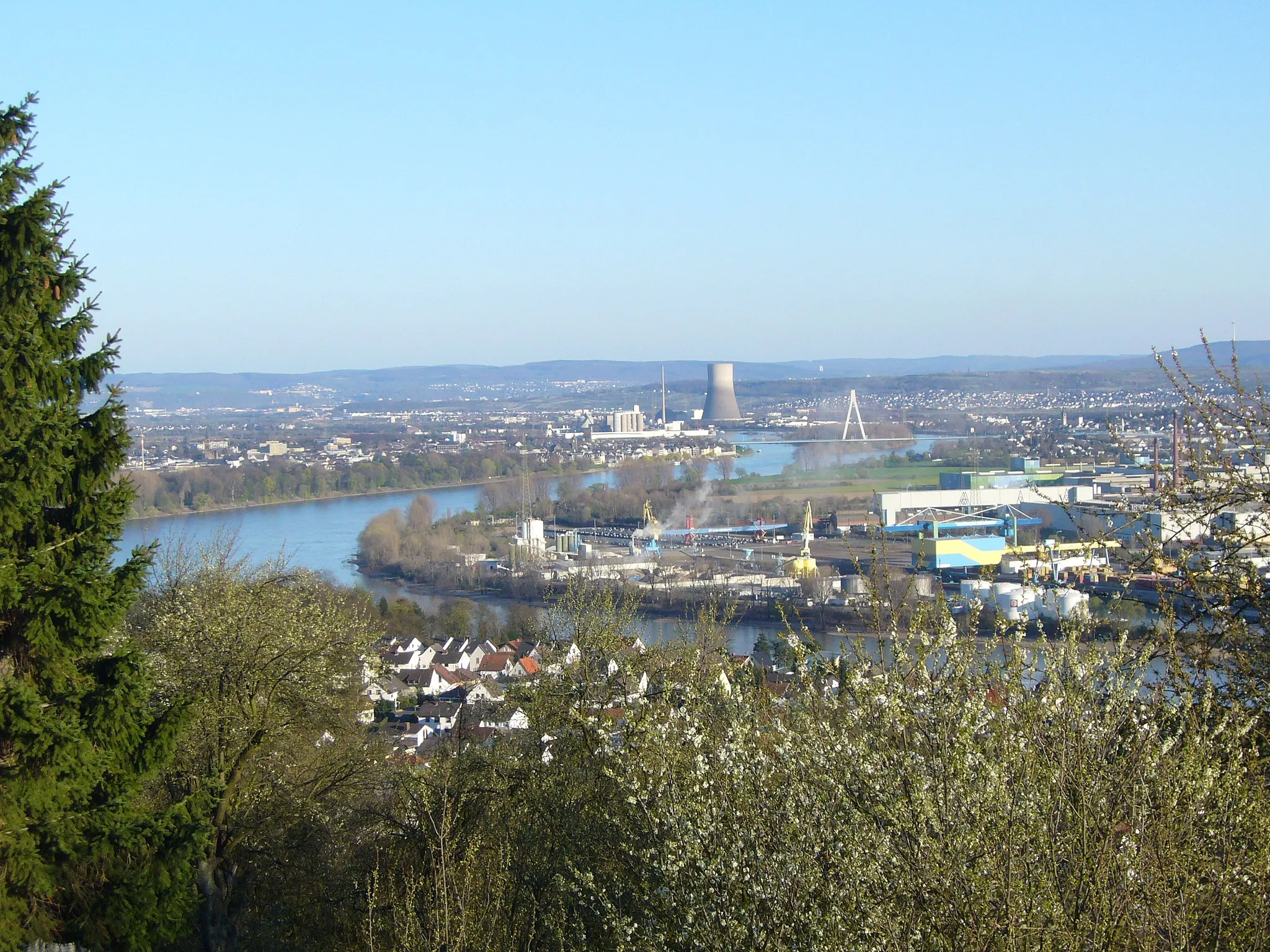
DommelbergViewpointDommelberg awaits, offering a challenging climb and stunning panoramic views of the surrounding valleys and mountains.
20 km
20 km
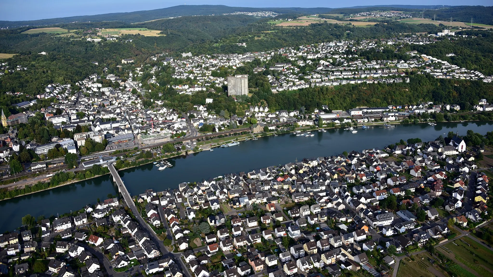
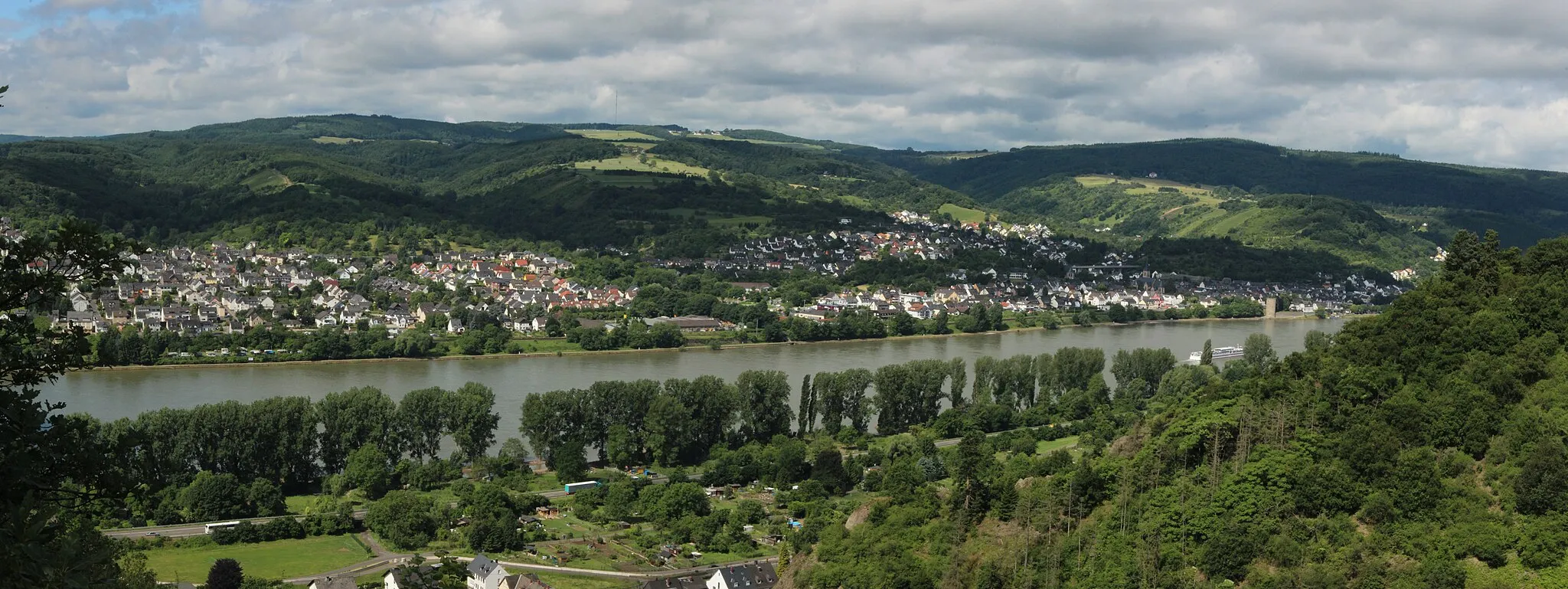
BreyVillageBrey, nestled on the banks of the Moselle River, charms visitors with its idyllic riverside scenery and historical landmarks.
29 km
29 km
Kohlberg336 mPeakKohlberg captivates with its lush green landscapes and peaceful atmosphere, providing a refreshing pit stop for weary cyclists.
45 km
45 km
CarlshöheViewpointCarlshöhe, with its commanding position atop a hill, offers sweeping views of the surrounding countryside and the majestic Rhine River.
48 km
48 km
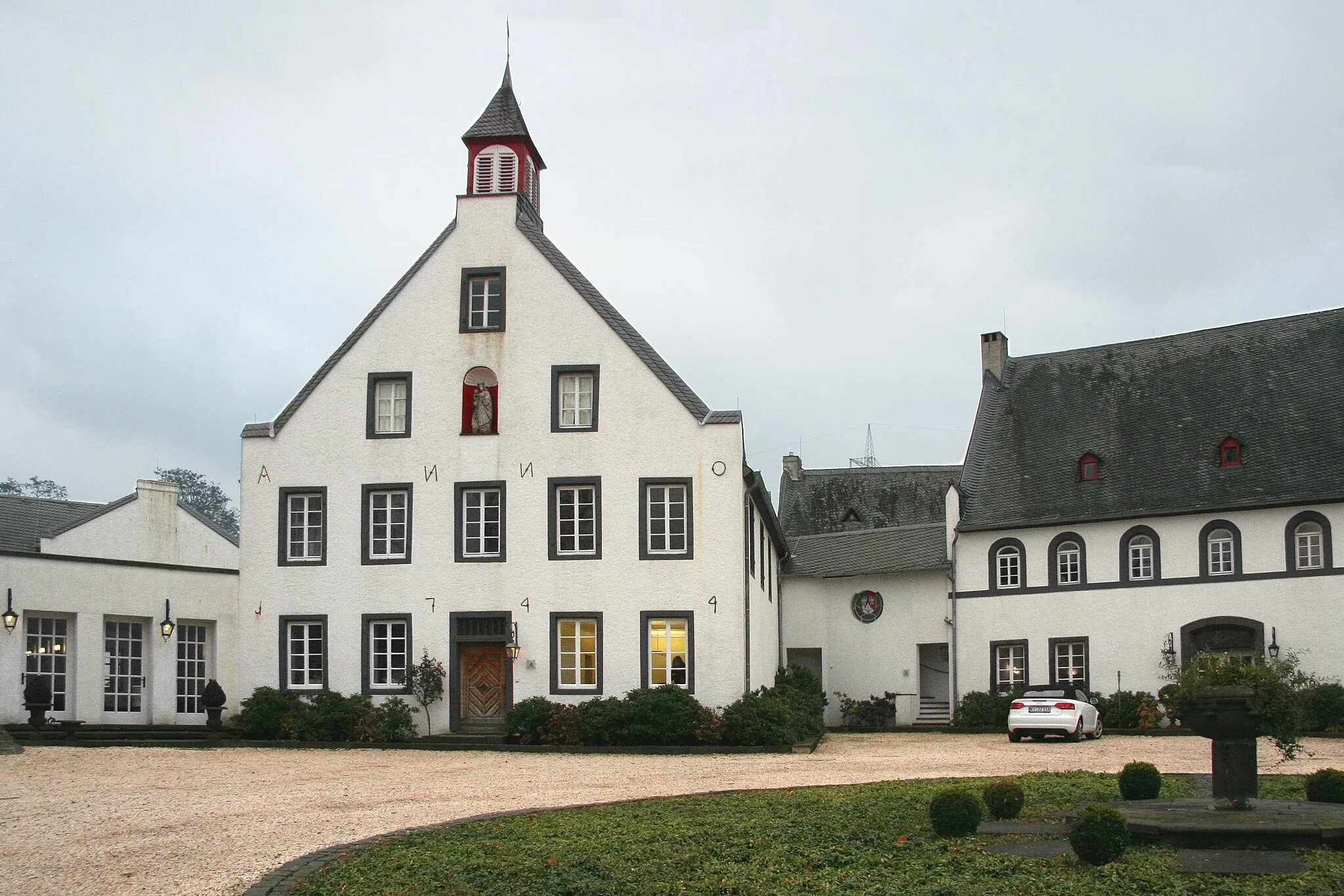
Kobern-GondorfVillageKobern-Gondorf invites you to explore its medieval castle, narrow streets, and charming cafes, showcasing the region's rich history and architectural beauty.
53 km
53 km
Karmelenberg372 mPeakKarmelenberg challenges your cycling skills with its steep ascent, rewarding you with stunning vistas overlooking the picturesque countryside.
58 km
58 km
BassenheimVillageBassenheim, famous for its well-preserved ancient fortifications and castle ruins, evokes a sense of adventure and curiosity.
65 km
65 km
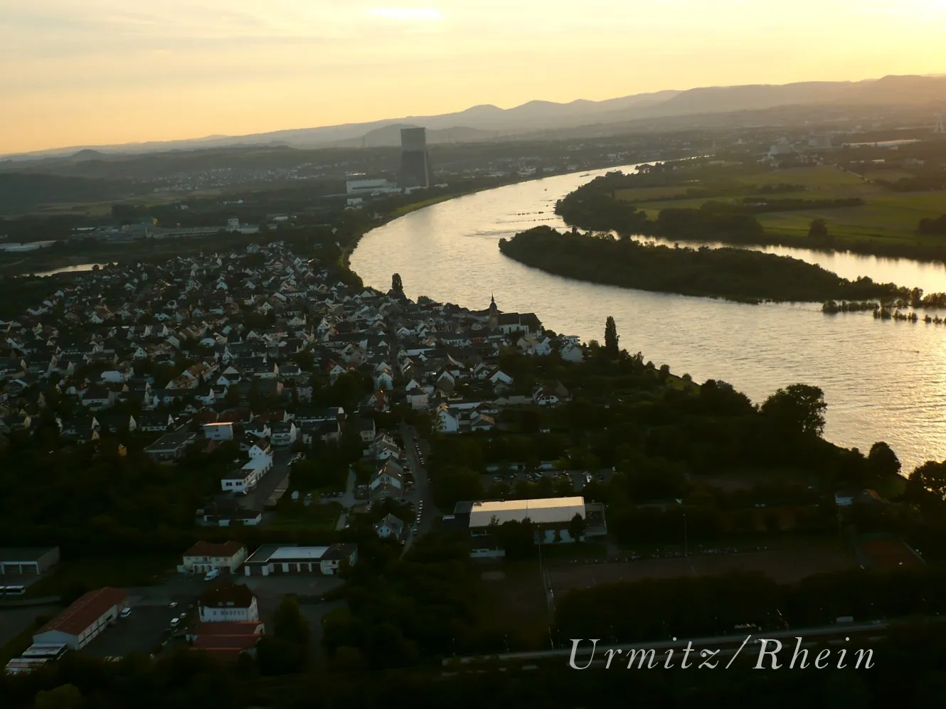
Urmitz-BahnhofSub-urbUrmitz-Bahnhof offers a final picturesque stop, allowing you to savor the last moments of your road warrior journey while enjoying the beauty of the surrounding nature.
69 km
69 km
Finish: Kaltenengers Village centerKaltenengers: Exploring the Rhine Valley by Bike in Kaltenengers
Cycling routes from Kaltenengers:
Circular Gravel Route from Kaltenengers Scenic Road Loop from Kaltenengers Discover the Countryside from Kaltenengers Picturesque Road Loop from Kaltenengers Scenic Gravel Adventure from Kaltenengers The Gravel Adventure The Road Cycling Escapade The Gravel Paradise The Ultimate Gravel Challenge The Road Warrior
Cycling routes nearby: