Höhr-Grenzhausen Rambling Gravel Ride
A gravel cycling route starting from Hoehr-Grenzhausen
Take a leisurely gravel ride from Höhr-Grenzhausen through scenic landscapes.
Map
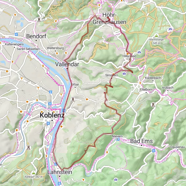
Enjoy a relaxed gravel ride through tranquil landscapes with this 45-kilometer route starting from Höhr-Grenzhausen. With an ascent of 768 meters, the route is suitable for beginners and leisure cyclists. Explore highlights along the way, such as the Nievern viewpoint and the historic town of Vallendar. Don't miss the stunning views from the Geierskopf and Heidekopf viewpoints.
gravel
45 km
768 m
Chill
Route profile
Highlights on the route
0 km
0 km
Start: Höhr-Grenzhausen City centerHöhr-Grenzhausen: Experience Varied Terrain in Höhr-Grenzhausen
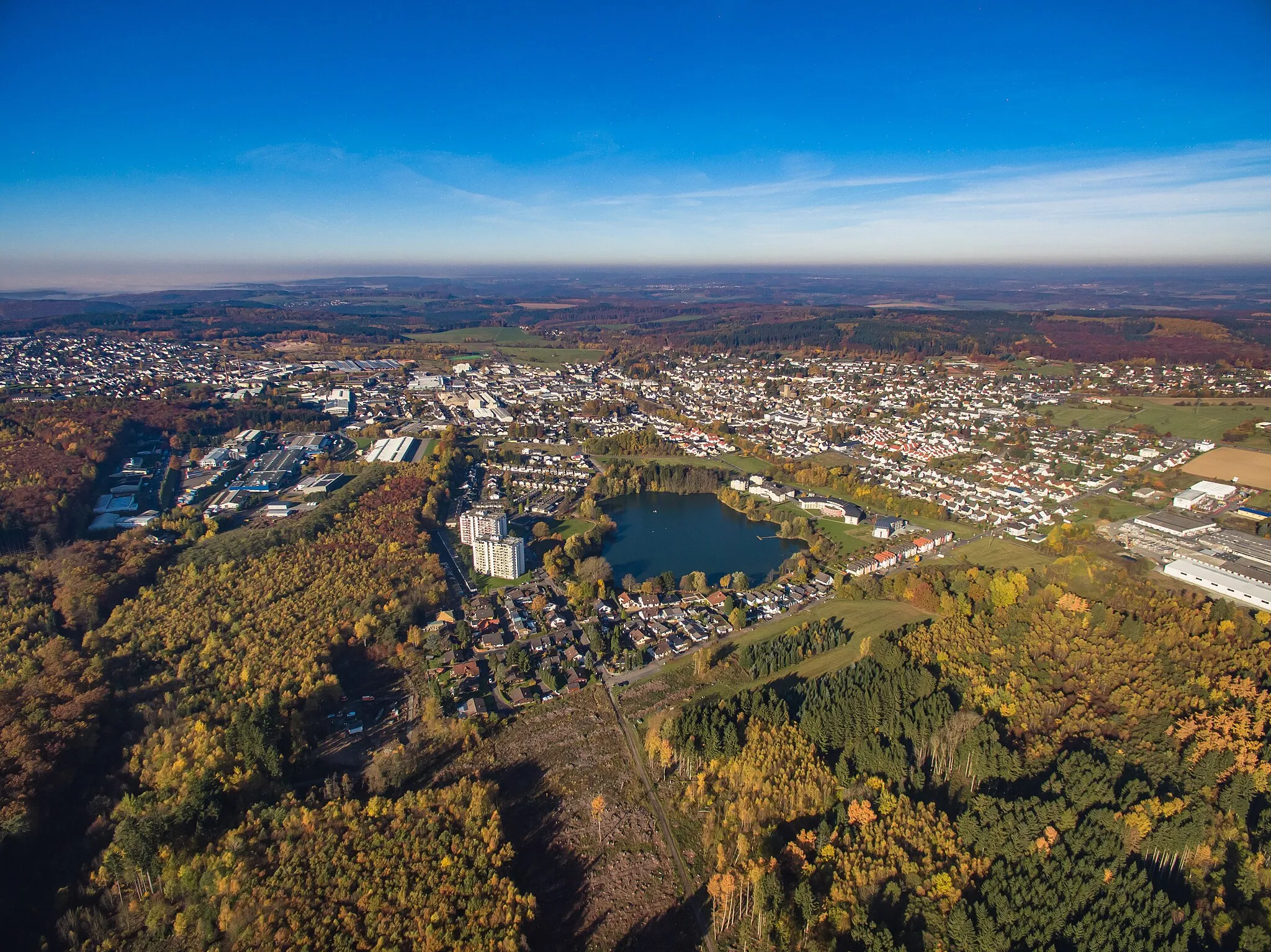
Höhr-Grenzhausen is a municipality located in Koblenz, Germany. It provides a range of cycling opportunities for road and gravel cyclists. The region features both flat stretches ideal for leisure rides and challenging climbs suitable for experienced cyclists. Höhr-Grenzhausen also boasts beautiful countryside scenery and plenty of cycling-friendly routes. While there are no famous cycling-related spots directly in the locality, the surrounding areas offer access to well-known climbs such as the legendary Sauerland Loop.0 km
0 km
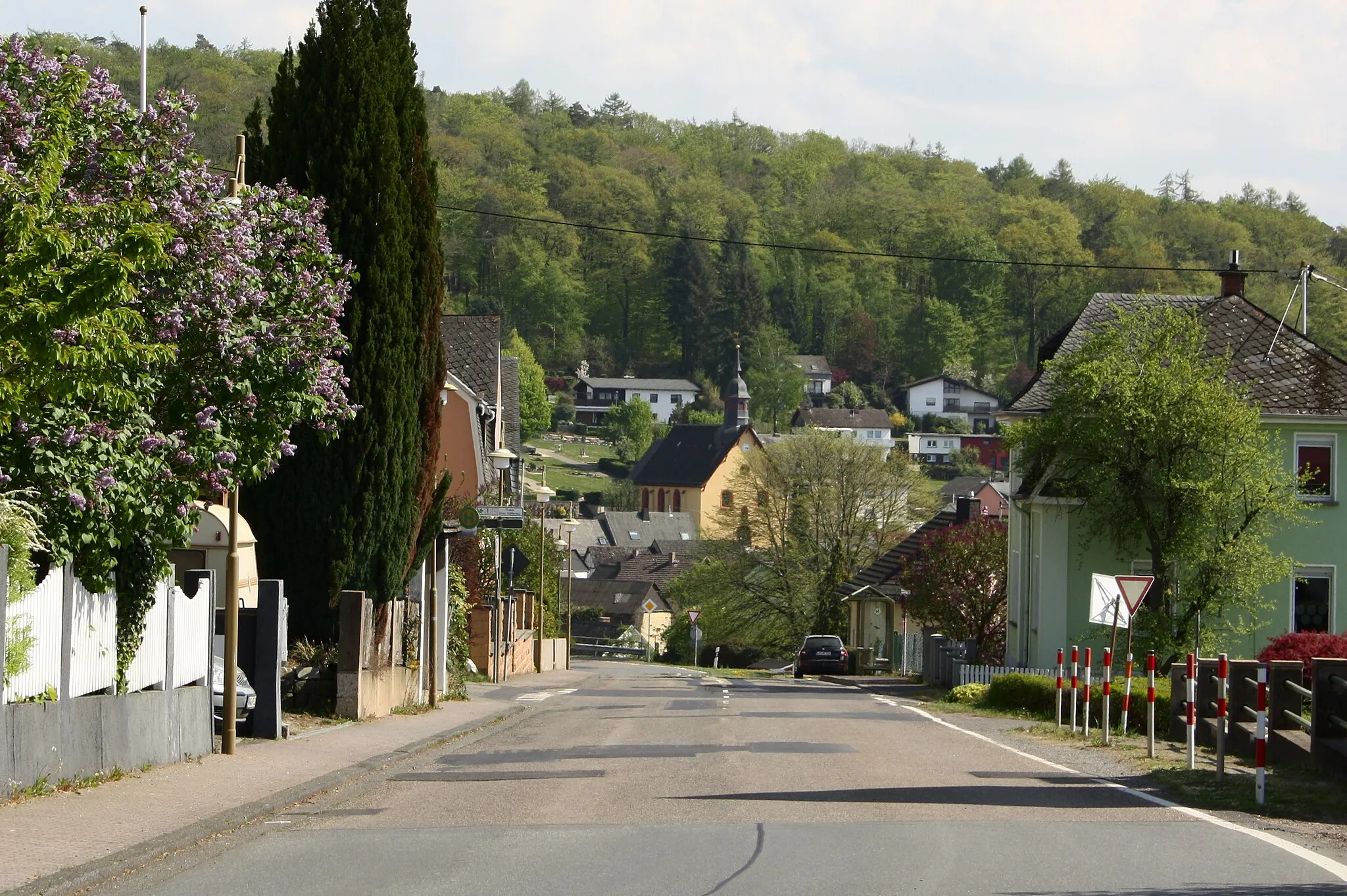
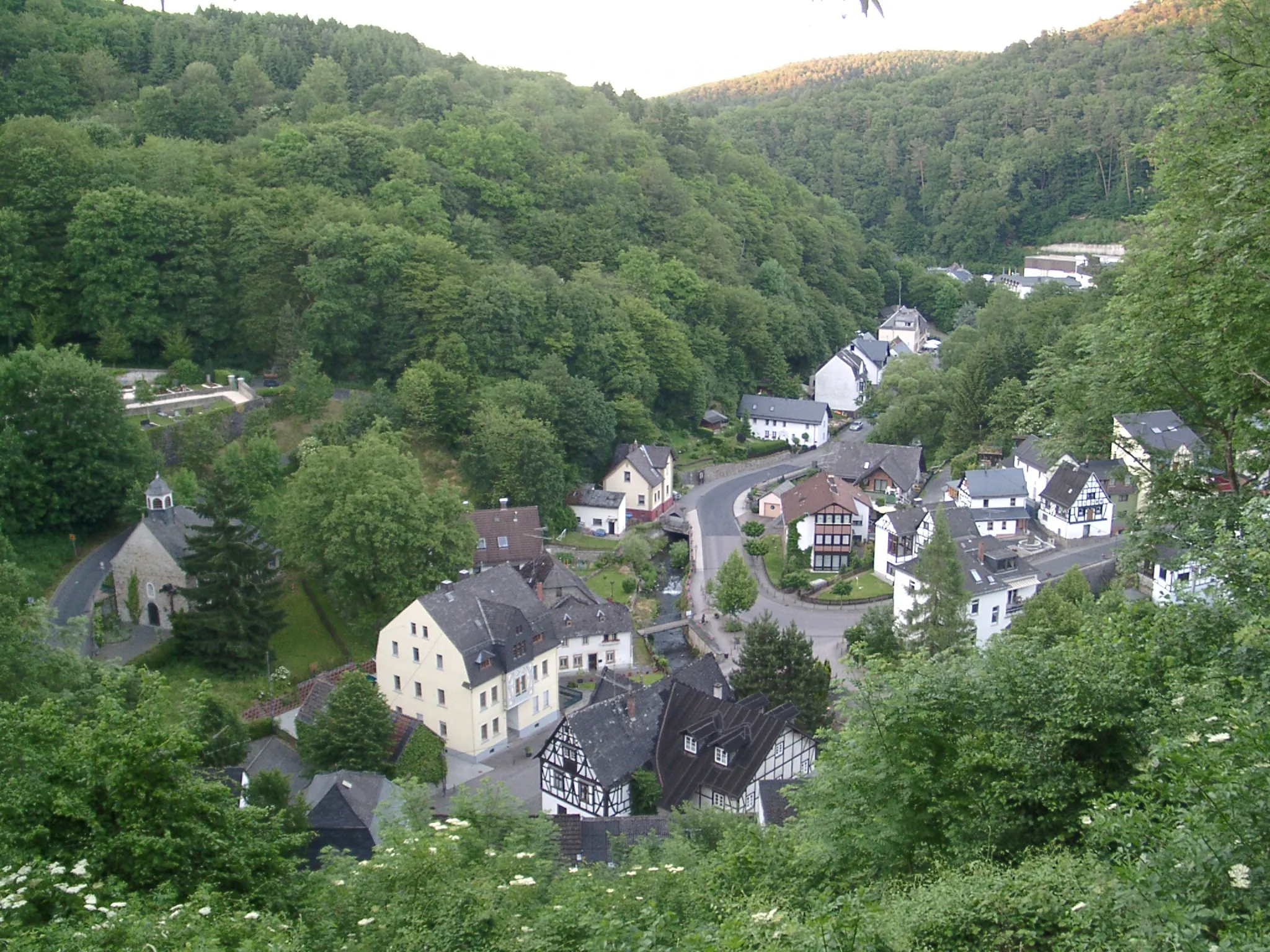
Höhr-GrenzhausenTownStart your gravel ride in the picturesque town of Höhr-Grenzhausen.
2 km
2 km
Heidekopf322 mPeakEnjoy the panoramic views from the Heidekopf viewpoint near Arzbach.
18 km
18 km
NievernVillageVisit the Nievern viewpoint and admire the scenic beauty of the area.
21 km
21 km
Geierskopf321 mPeakCycle to the Geierskopf viewpoint and enjoy breathtaking views of the Rhine River.
32 km
32 km
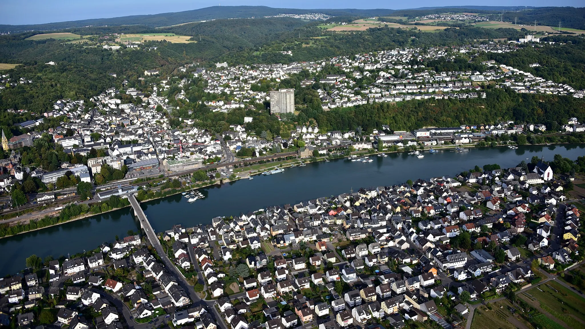
Deutsches EckViewpointPass by the Deutsches Eck in Koblenz and take in the beauty of the river landscape.
37 km
37 km
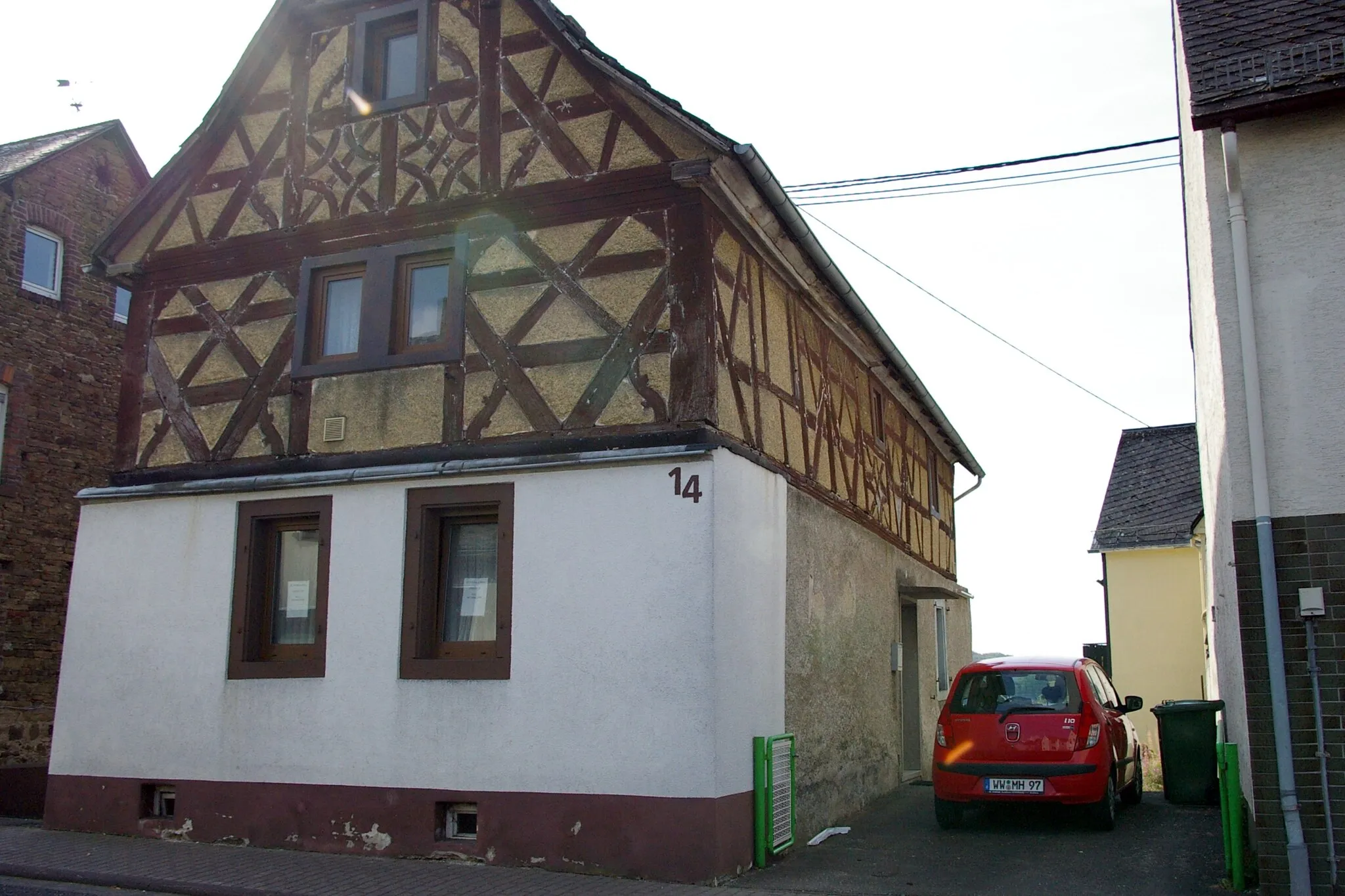
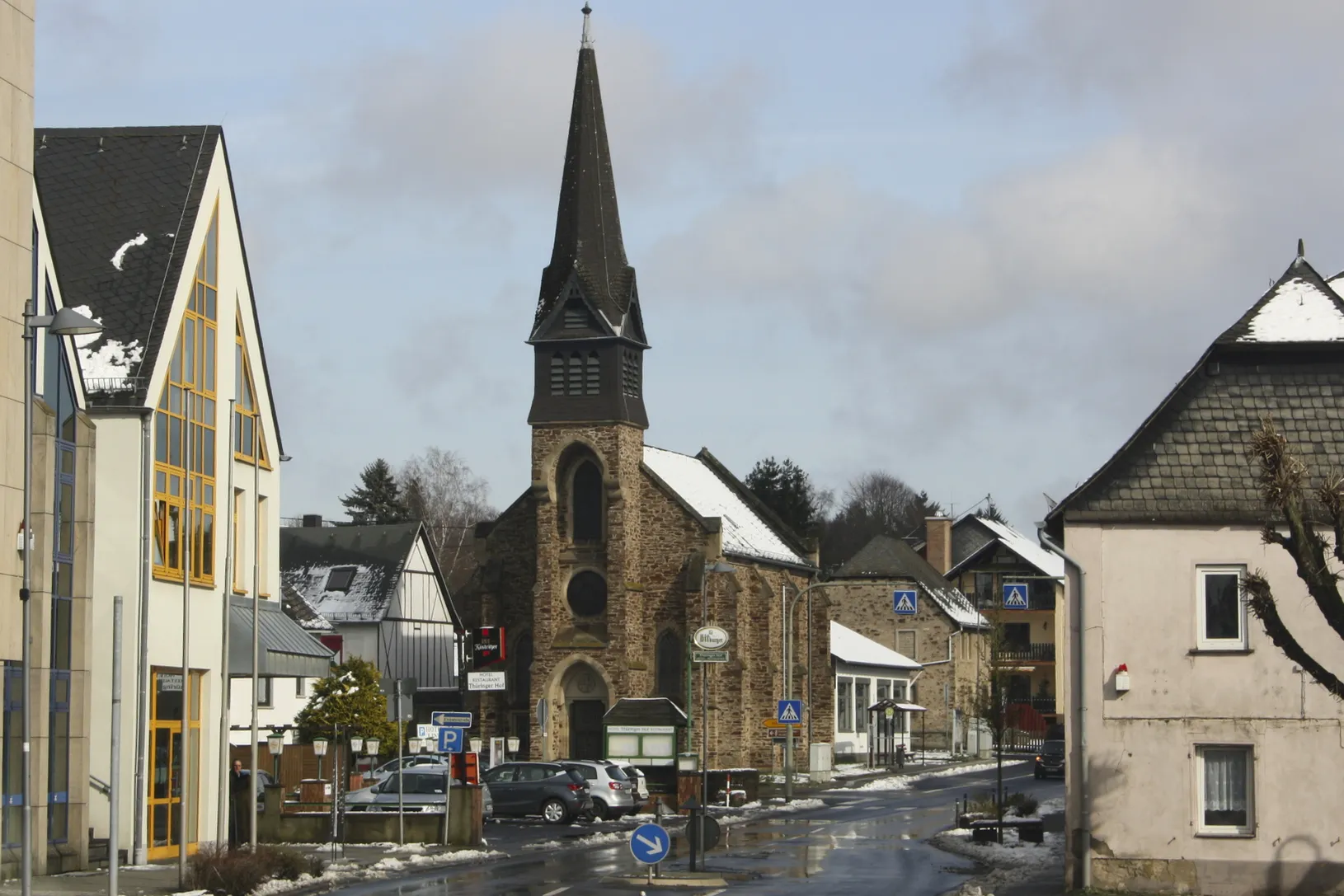
VallendarTownExplore the historic town of Vallendar and discover its charming old town.
42 km
42 km
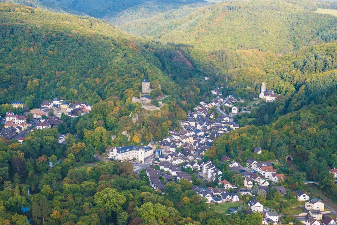
Eisenberg280 mPeakMake a stop at the historic town of Eisenberg and learn about its fascinating history.
43 km
43 km
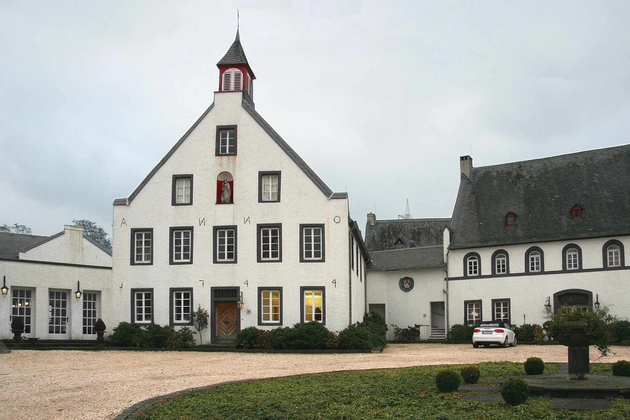
Burg GrenzauCastleVisit the picturesque Burg Grenzau and admire its impressive medieval architecture.
45 km
45 km
Finish: Höhr-Grenzhausen City centerHöhr-Grenzhausen: Experience Varied Terrain in Höhr-Grenzhausen
Cycling routes from Hoehr-Grenzhausen:
Off-Road Adventure to Almersbach Westerwald Experience: Höhr-Grenzhausen to Dierdorf Gravel Adventure: Höhr-Grenzhausen to Montabaur Discovering Medieval Towns: Höhr-Grenzhausen to Sieselrs Höhr-Grenzhausen to Ewighausen: Through the Heart of Countless Villages Höhr-Grenzhausen to Katzenelnbogen Loop Höhr-Grenzhausen Gravel Adventure Höhr-Grenzhausen to Dernbacher Kopf Adventure Koblenz and Boppard Loop Höhr-Grenzhausen Rambling Gravel Ride
Cycling routes nearby: