Gravel Adventure: Höhr-Grenzhausen to Montabaur
A gravel cycling route starting from Hoehr-Grenzhausen
Embark on a gravel adventure, pedaling your way from Höhr-Grenzhausen to Montabaur.
Map
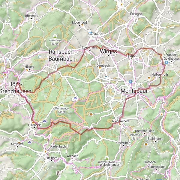
Escape the beaten path as you venture into gravel cycling territory, experiencing the thrill of a gravel adventure from Höhr-Grenzhausen to Montabaur. With a moderate ascent of 618 meters and a distance of 45 km, this route is perfect for cyclists seeking an off-road challenge. Get ready to uncover hidden gems such as the scenic Heidekopf and the quaint Koppel, surrounded by rolling hills and picturesque landscapes. Montabaur, with its centuries-old architecture, offers a captivating end point to your gravel adventure.
gravel
45 km
618 m
Chill
Route profile
Highlights on the route
0 km
0 km
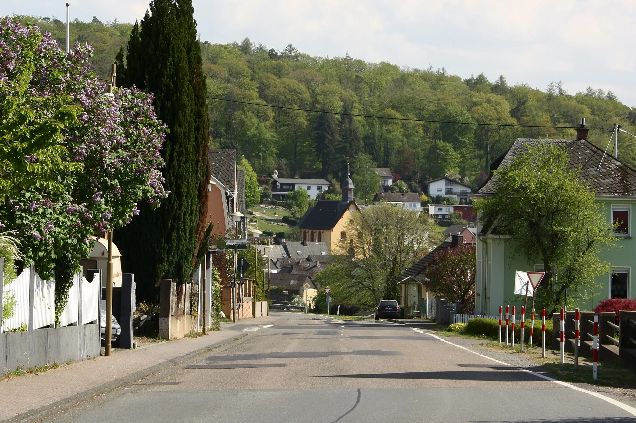
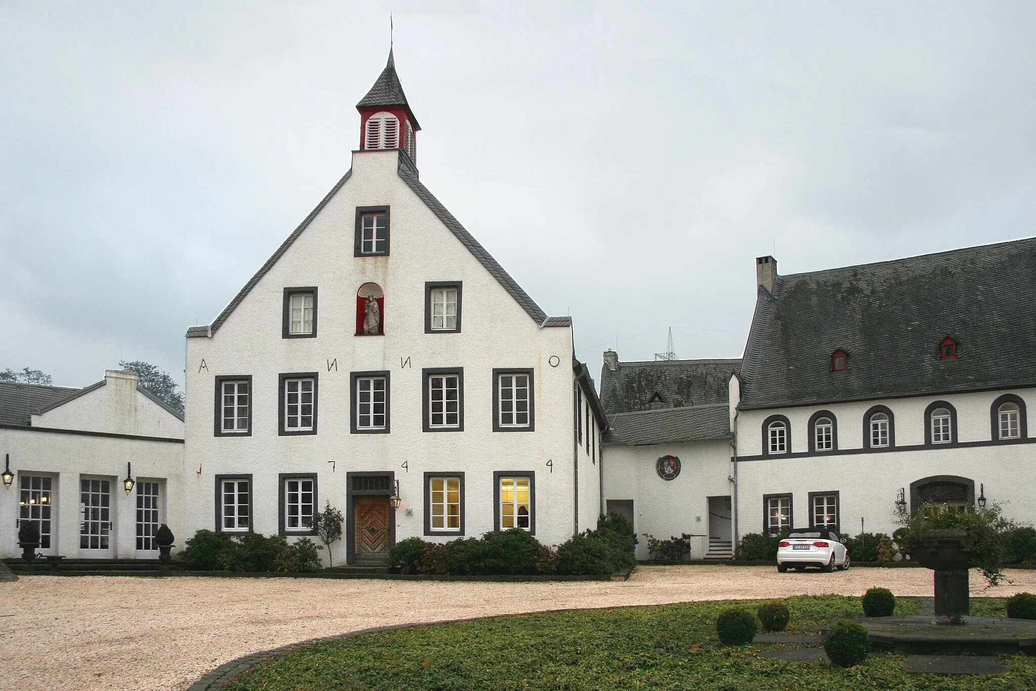
Start: Höhr-Grenzhausen City centerHöhr-Grenzhausen: Experience Varied Terrain in Höhr-Grenzhausen
Höhr-Grenzhausen is a municipality located in Koblenz, Germany. It provides a range of cycling opportunities for road and gravel cyclists. The region features both flat stretches ideal for leisure rides and challenging climbs suitable for experienced cyclists. Höhr-Grenzhausen also boasts beautiful countryside scenery and plenty of cycling-friendly routes. While there are no famous cycling-related spots directly in the locality, the surrounding areas offer access to well-known climbs such as the legendary Sauerland Loop.2 km
2 km
Heidekopf322 mPeakHeidekopf rewards you with stunning views of the surrounding hills and countryside, making it an ideal spot for a quick breath-catching break.
13 km
13 km
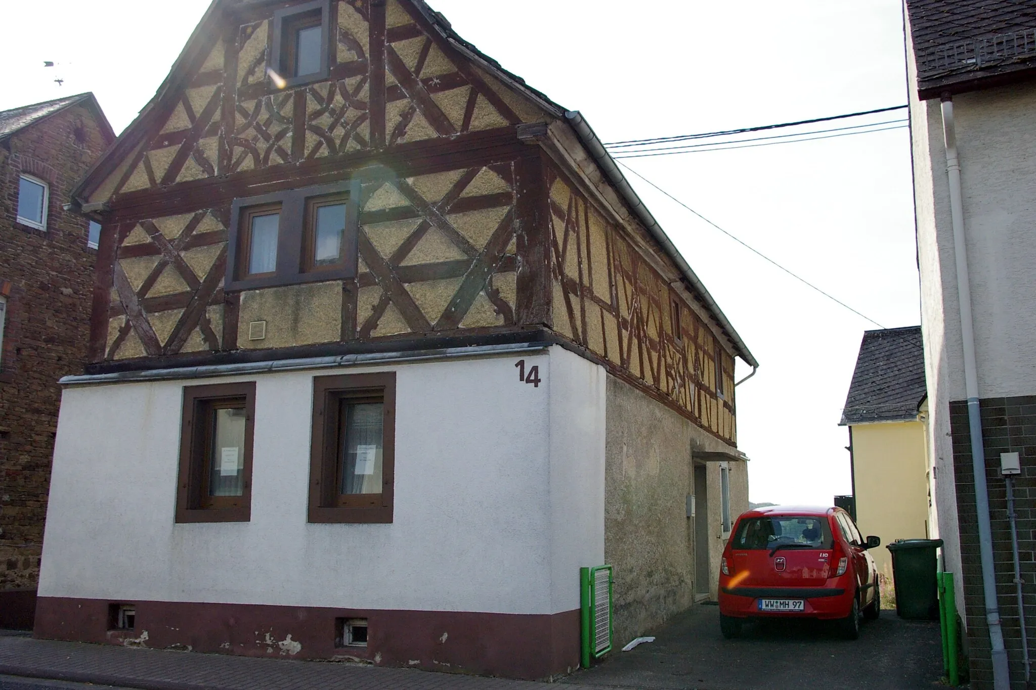
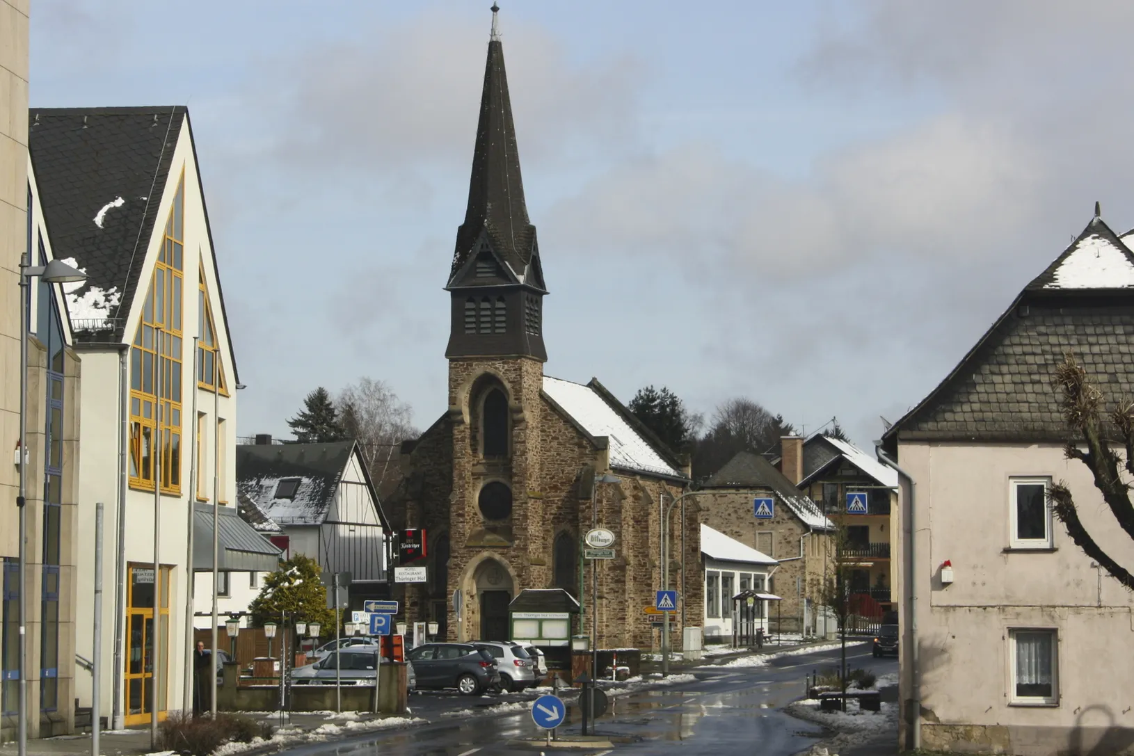
WirgesTownWirges enchants you with its rustic charm and effortlessly blends history with nature, creating a haven for gravel cyclers.
21 km
21 km
Koppel298 mPeakKoppel, surrounded by idyllic landscapes, provides a serene ambiance to rest and relax amidst nature.
26 km
26 km
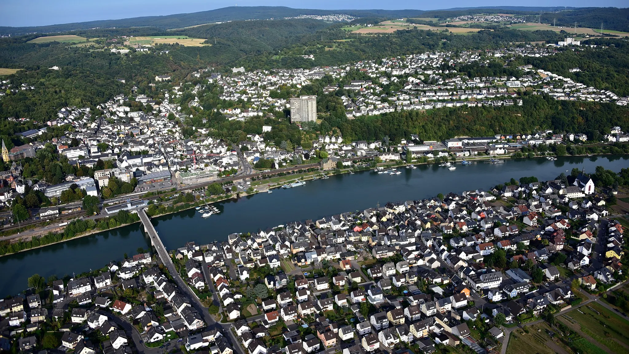
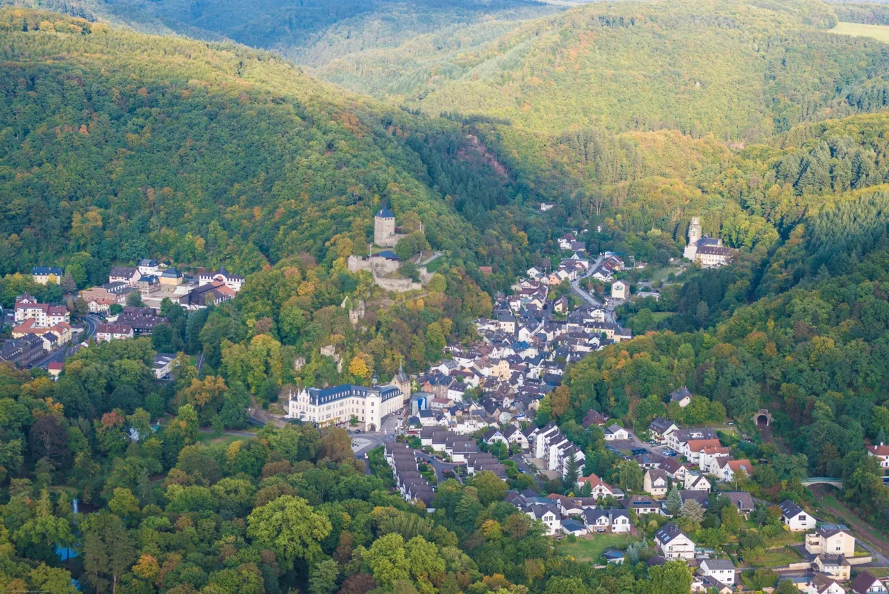
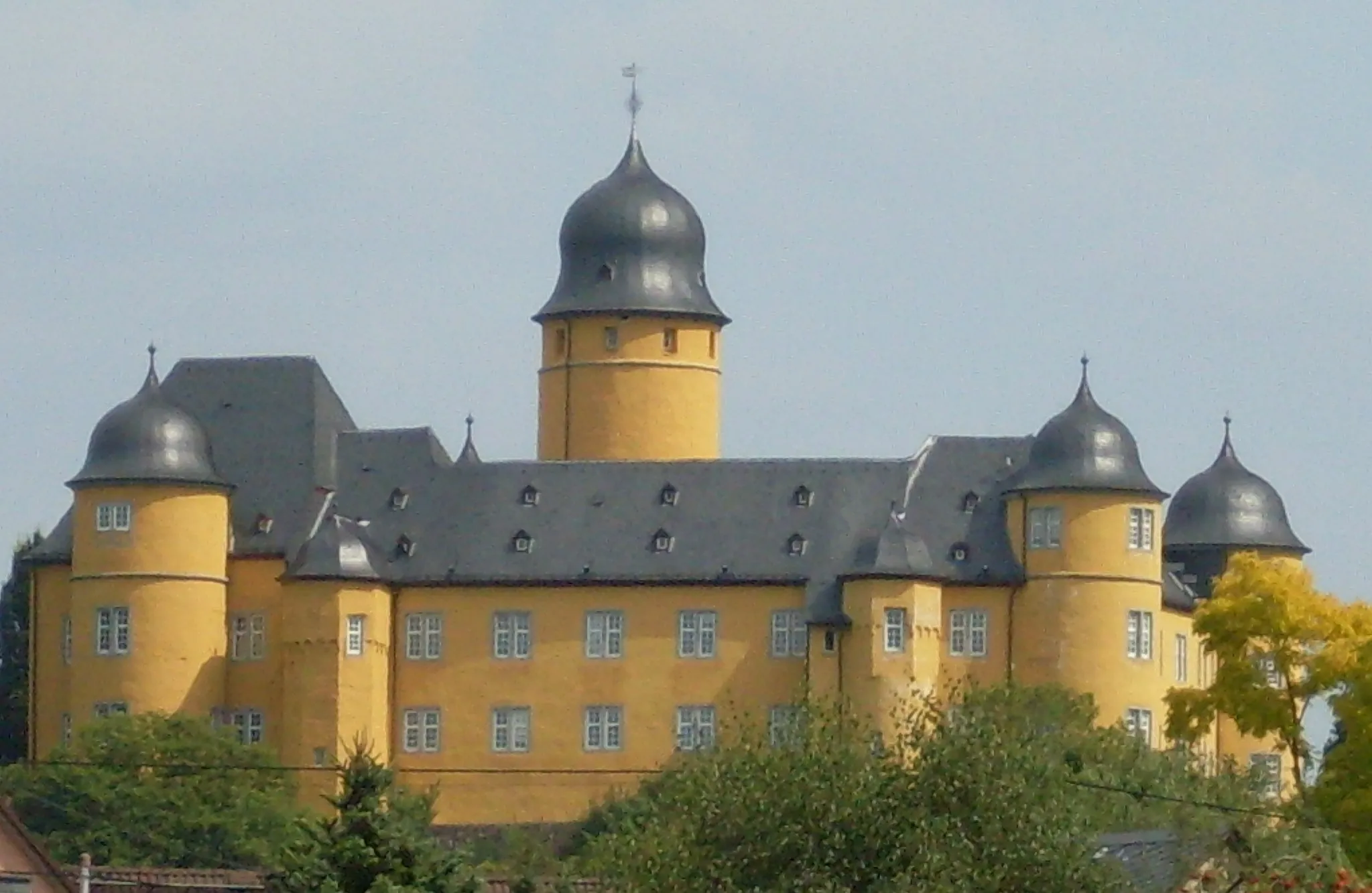
MontabaurTownMontabaur welcomes you with its historic buildings, offering an enchanting finale to your gravel adventure.
32 km
32 km
Dielkopf379 mPeakDielkopf treats you to panoramic and breathtaking views of the Westerwald region, rewarding your gravel cycling efforts.
40 km
40 km
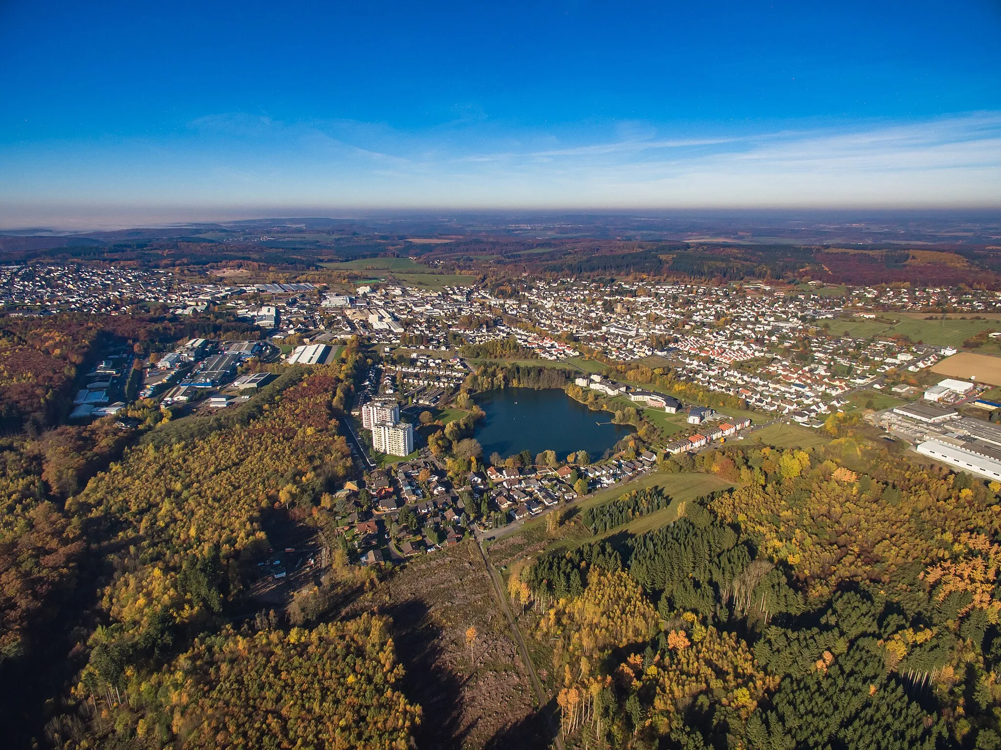
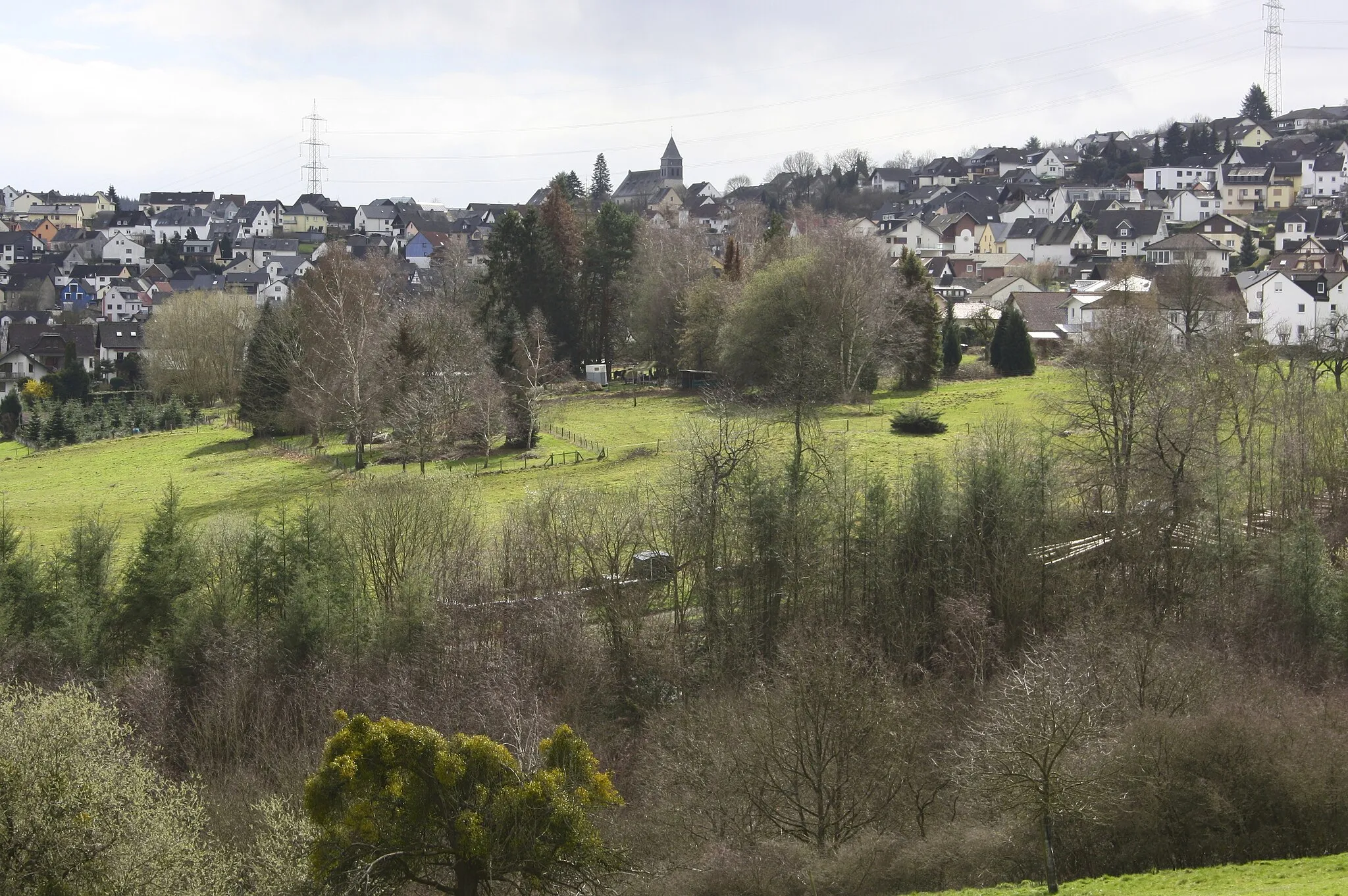
HillscheidVillageHillscheid stands as a testament to the region's charming character, with its cozy streets and warm atmosphere offering respite during your journey.
45 km
45 km
Finish: Höhr-Grenzhausen City centerHöhr-Grenzhausen: Experience Varied Terrain in Höhr-Grenzhausen
Cycling routes from Hoehr-Grenzhausen:
Off-Road Adventure to Almersbach Westerwald Experience: Höhr-Grenzhausen to Dierdorf Gravel Adventure: Höhr-Grenzhausen to Montabaur Discovering Medieval Towns: Höhr-Grenzhausen to Sieselrs Höhr-Grenzhausen to Ewighausen: Through the Heart of Countless Villages Höhr-Grenzhausen to Katzenelnbogen Loop Höhr-Grenzhausen Gravel Adventure Höhr-Grenzhausen to Dernbacher Kopf Adventure Koblenz and Boppard Loop Höhr-Grenzhausen Rambling Gravel Ride
Cycling routes nearby: