Erpel Circuit
A road cycling route starting from Erpel
A challenging road biking route around Erpel with breathtaking views and interesting highlights.
Map

This 107 km road biking route starts and finishes in Erpel, taking cyclists through scenic landscapes and offering breathtaking views along the way. With a total ascent of 1294 meters, the Erpel Circuit is suitable for well-trained amateurs seeking a challenging ride. The route passes through charming villages like Vettelschoß and offers the opportunity to visit historical landmarks such as the Erpeler Ley and Krunkel Castle.
road
107 km
1294 m
Tough
Route profile
Highlights on the route
0 km
0 km
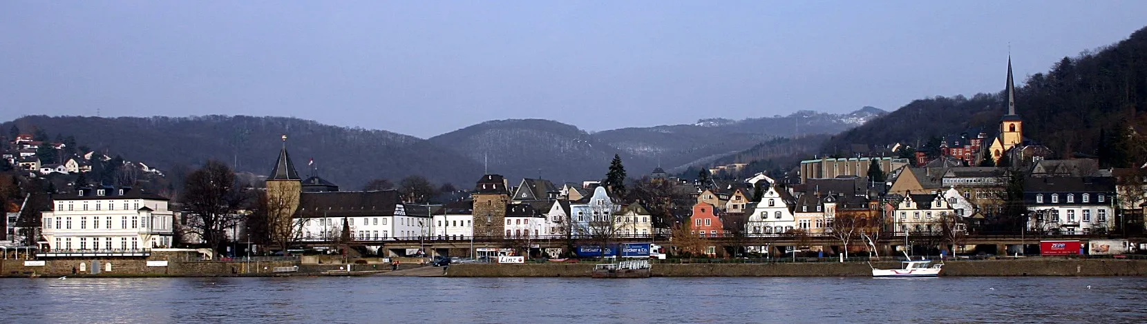
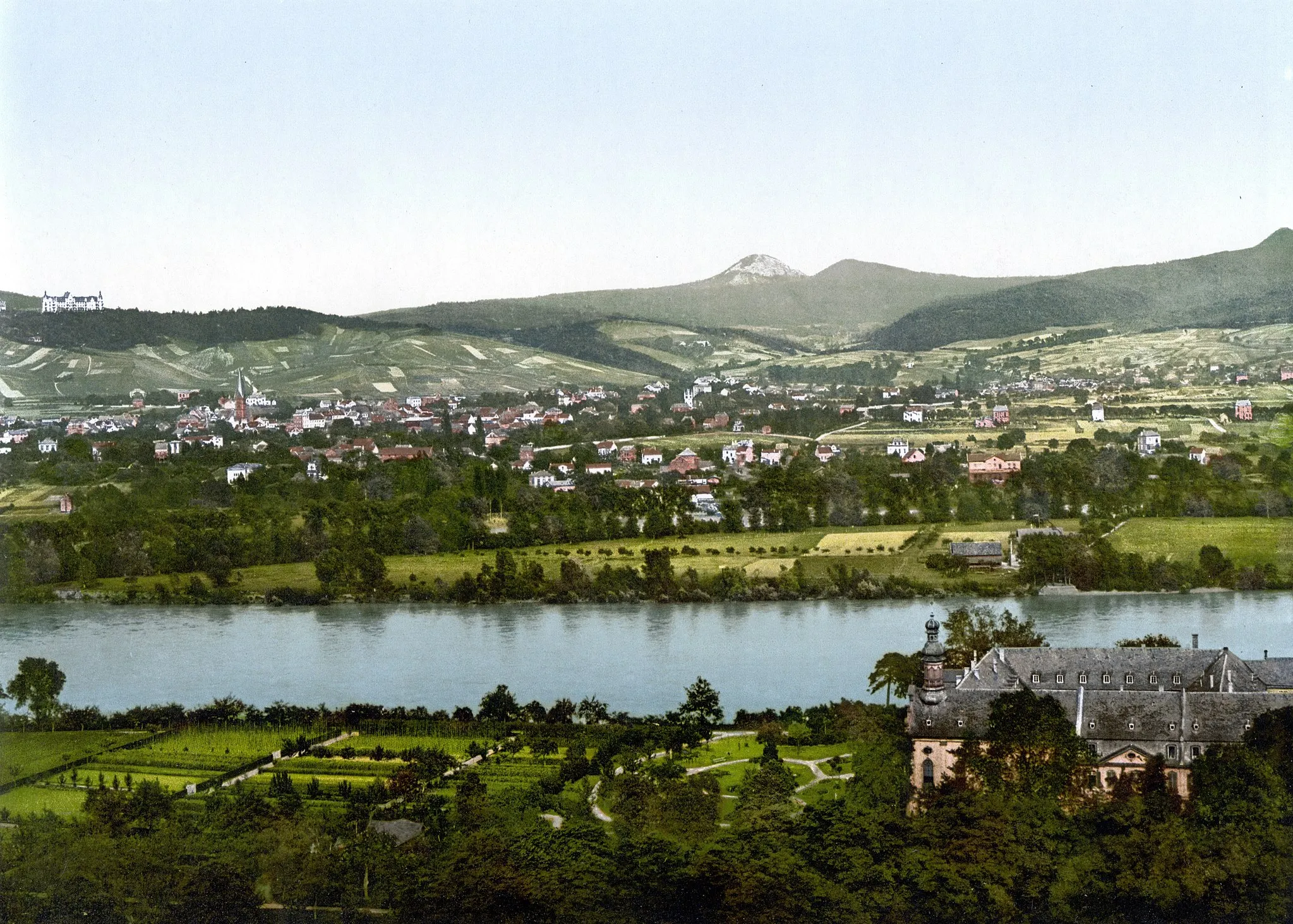
Start: Erpel Village centerErpel: Scenic Landscapes and Riverside Charm
Erpel, located in Koblenz, Germany, offers a scenic cycling experience for both road and gravel cyclists. The region features well-maintained roads and designated cycling paths that wind through beautiful forests and along the banks of the Rhine River. Erpel itself is a picturesque town with charming architecture and friendly locals, providing a welcoming atmosphere for tourists. Cyclists can also explore nearby attractions such as the Drachenfels or take a leisurely ferry ride across the Rhine to visit other towns in the region. The Linz Rheinraise is a famous cycling route nearby, offering stunning views of the river and surrounding landscapes. With its idyllic scenery and cyclist-friendly environment, Erpel is an excellent choice for a cycling getaway.0 km
0 km
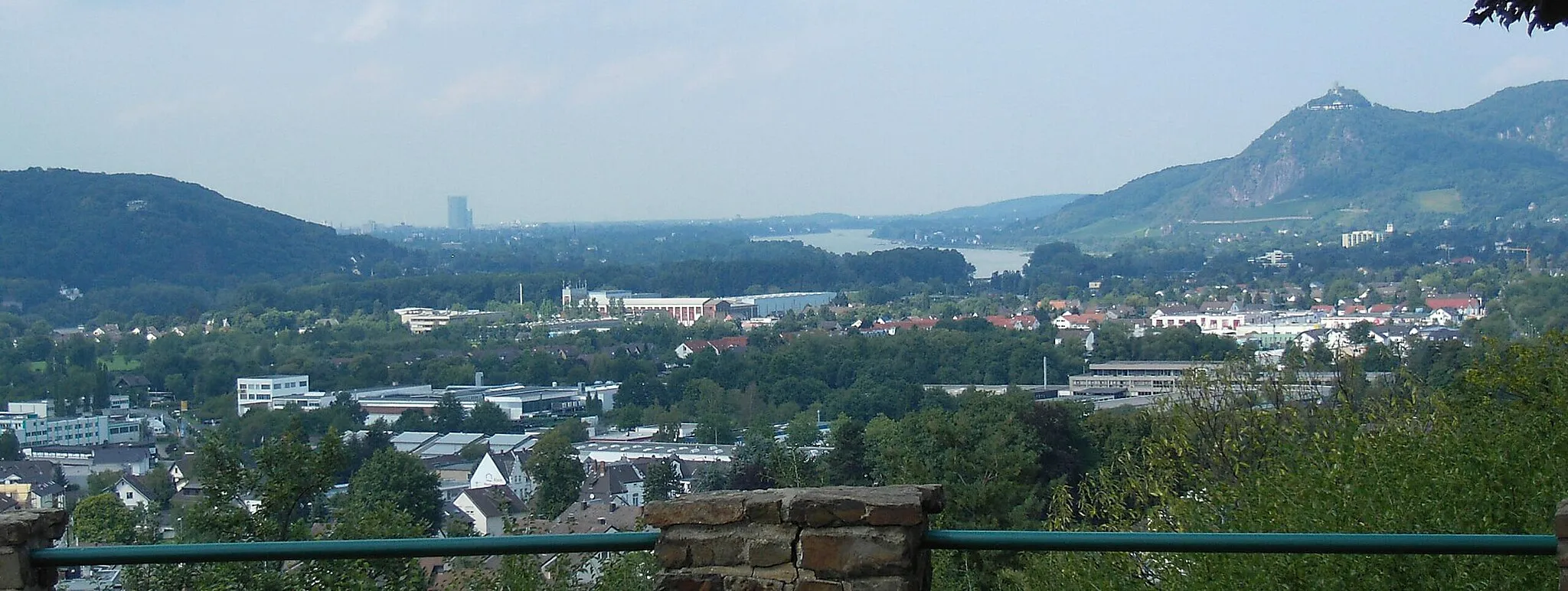
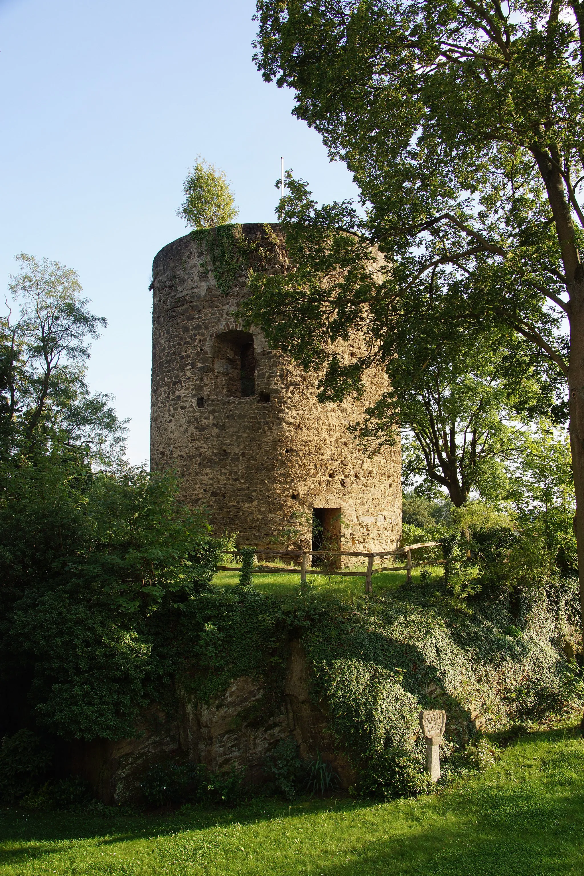
Erpeler Ley191 mPeakErpeler Ley, a stunning volcanic rock formation, offers panoramic views over the Rhine Valley.
11 km
11 km
VettelschoßVillageThe village of Vettelschoß, located along the route, is known for its beautifully preserved half-timbered houses.
20 km
20 km
Bertenauer Kopf352 mShelterBertenauer Kopf provides a serene forested setting with quiet country roads for cycling enthusiasts.
27 km
27 km
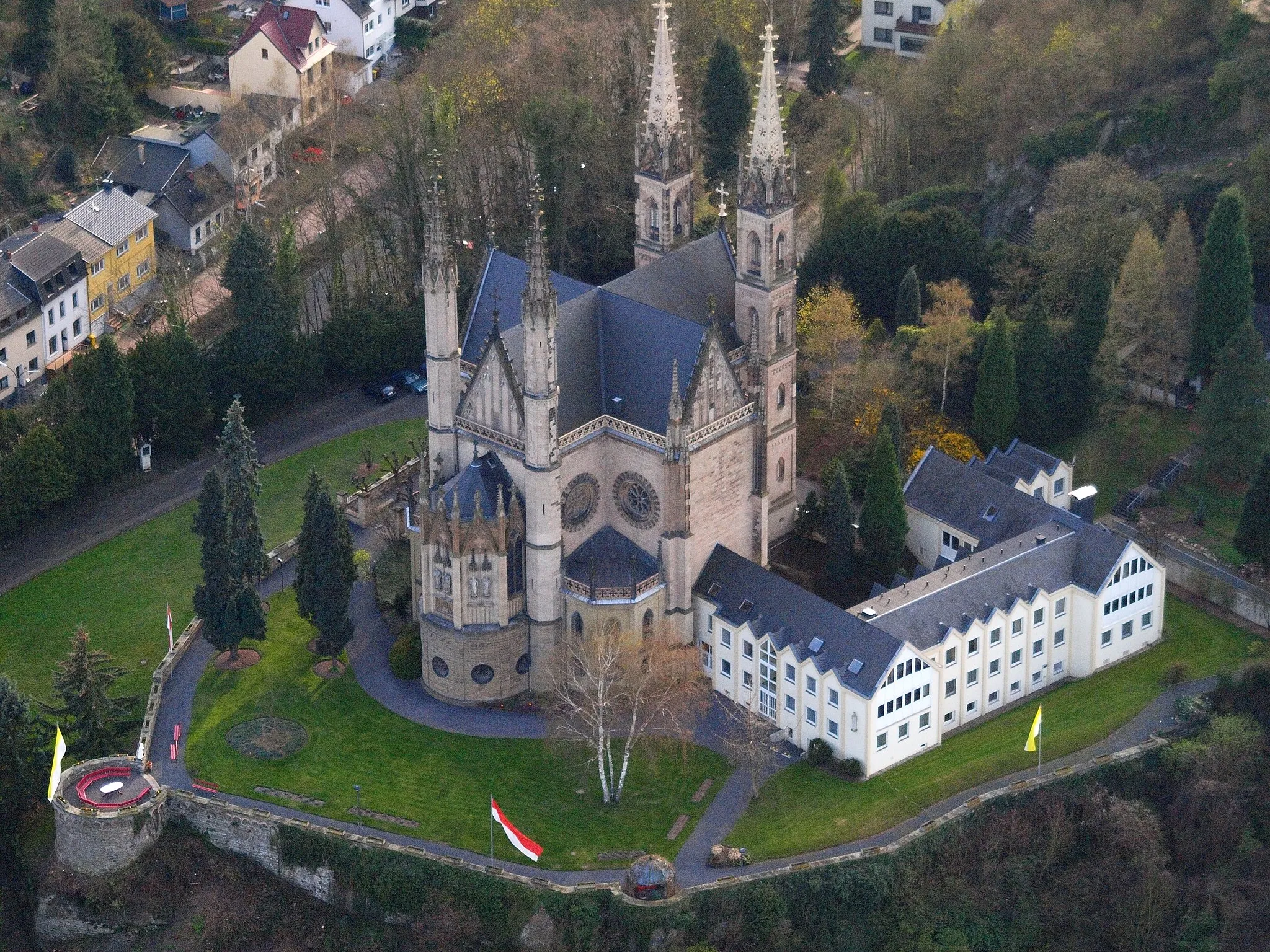
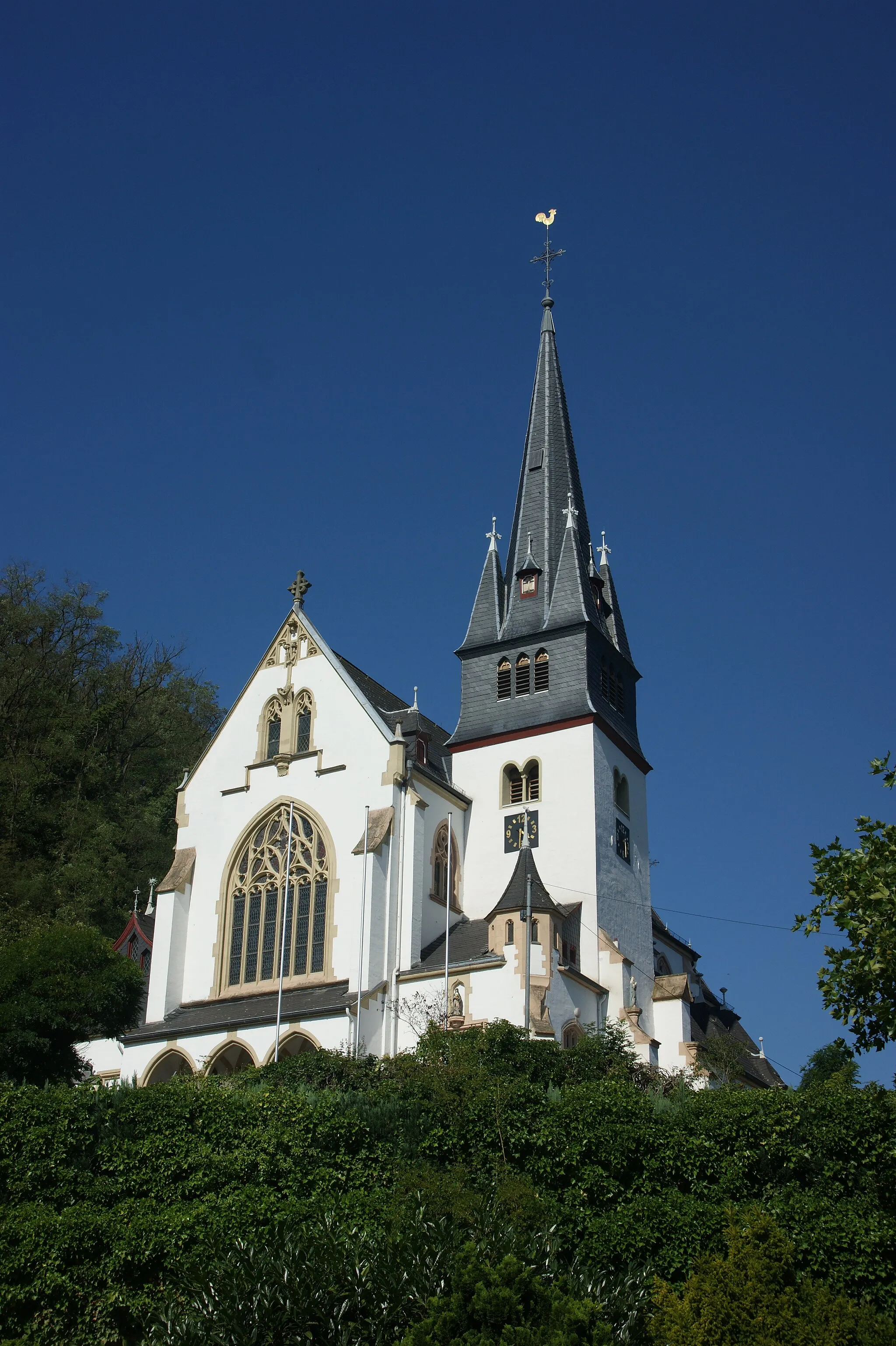
KrunkelVillage40 km
40 km
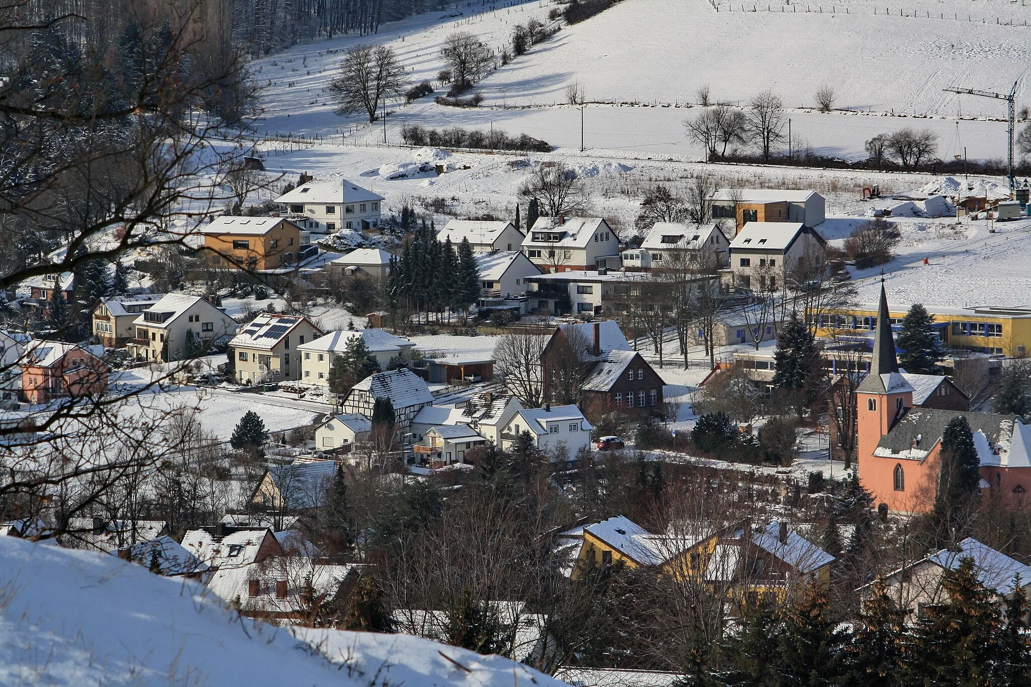
KleinmaischeidVillageKleinmaischeid is a picturesque village with charming traditional houses and a peaceful atmosphere.
52 km
52 km
Hölzenberg391 mPeakHölzenberg offers a tranquil natural setting with rolling hills and forests.
61 km
61 km
Höhr-GrenzhausenTownThe town of Höhr-Grenzhausen is famous for its ceramics production, and visitors can explore pottery studios and galleries.
64 km
64 km
Reitert271 mPeak80 km
80 km
NeuwiedTownNeuwied, located at the confluence of the Rhine and Wied rivers, is known for its lovely waterfront promenades.
86 km
86 km
KrahnenbergViewpointKrahnenberg offers stunning views over the Rhine River and the picturesque town of Unkel.
95 km
95 km
Hungerberg179 mPeakHungerberg is a beautiful forested area that provides a tranquil and serene cycling experience.
103 km
103 km
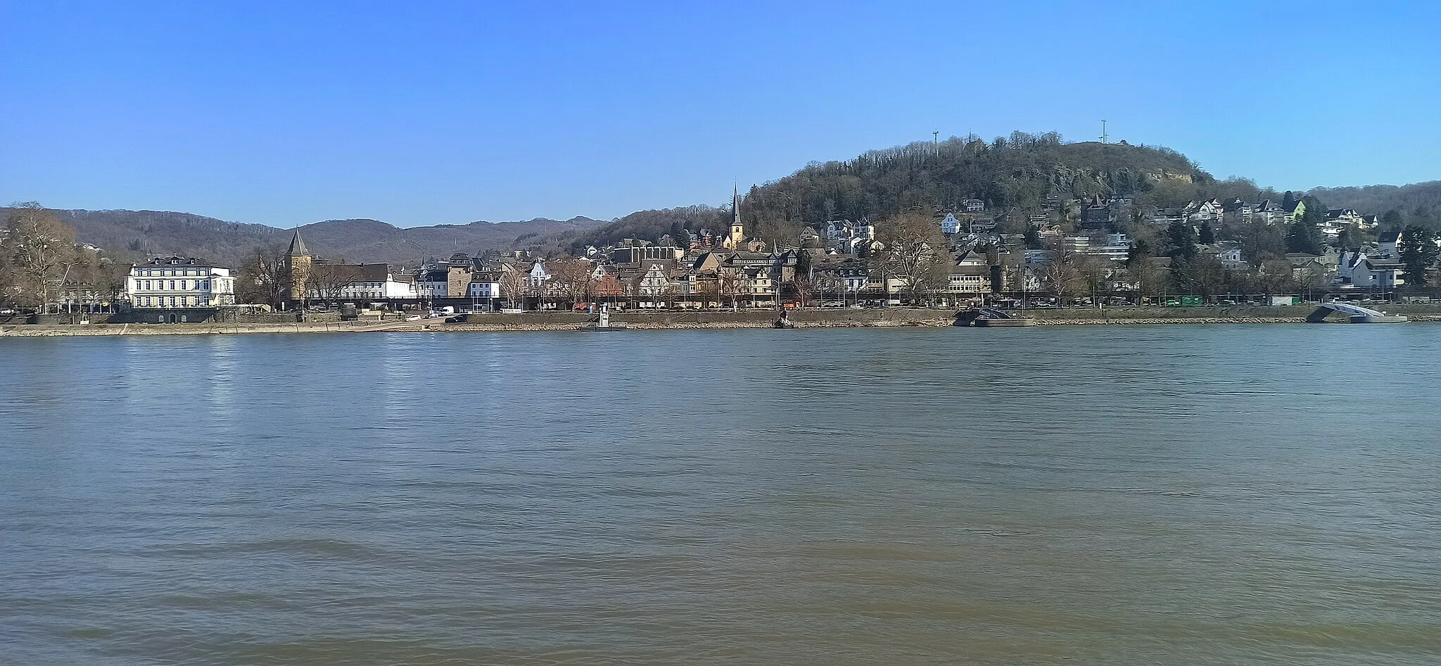
LinzTownLinz is a charming town with colorful half-timbered houses and narrow streets, perfect for a short stop and exploring.
107 km
107 km
Finish: Erpel Village centerErpel: Scenic Landscapes and Riverside Charm
Cycling routes nearby: