Isert and Beulskopf Gravel Adventure
A gravel cycling route starting from Gebhardshain
Embark on a thrilling gravel adventure exploring Isert and enjoying scenic views from Beulskopf
Map
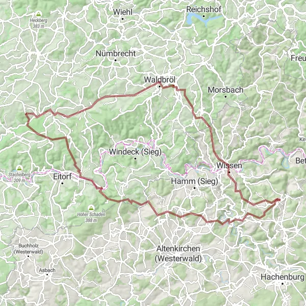
Discover the stunning landscapes near Gebhardshain on this challenging gravel cycling route. Highlights include the Isert region and the magnificent views from Beulskopf. The route covers 96 km with an ascent of 1799 meters, making it suitable for gravel bikes.
gravel
96 km
1799 m
Savage
Route profile
Highlights on the route
0 km
0 km
Start: Gebhardshain Village centerGebhardshain: Cycling through the hilly landscapes and charming villages of Gebhardshain
Gebhardshain is a locality in the Koblenz region of Germany. From a cyclist's perspective, Gebhardshain offers a good mix of road and gravel cycling routes. The region is known for its hilly terrain and scenic landscapes, providing enjoyable cycling opportunities. There are several well-marked cycling paths that take you through charming villages and beautiful countryside. Notable nearby cycling spots include Westerwald, a popular destination for cyclists seeking challenging climbs and breathtaking views. Overall, Gebhardshain offers a pleasant cycling experience with diverse routes and captivating surroundings.12 km
12 km
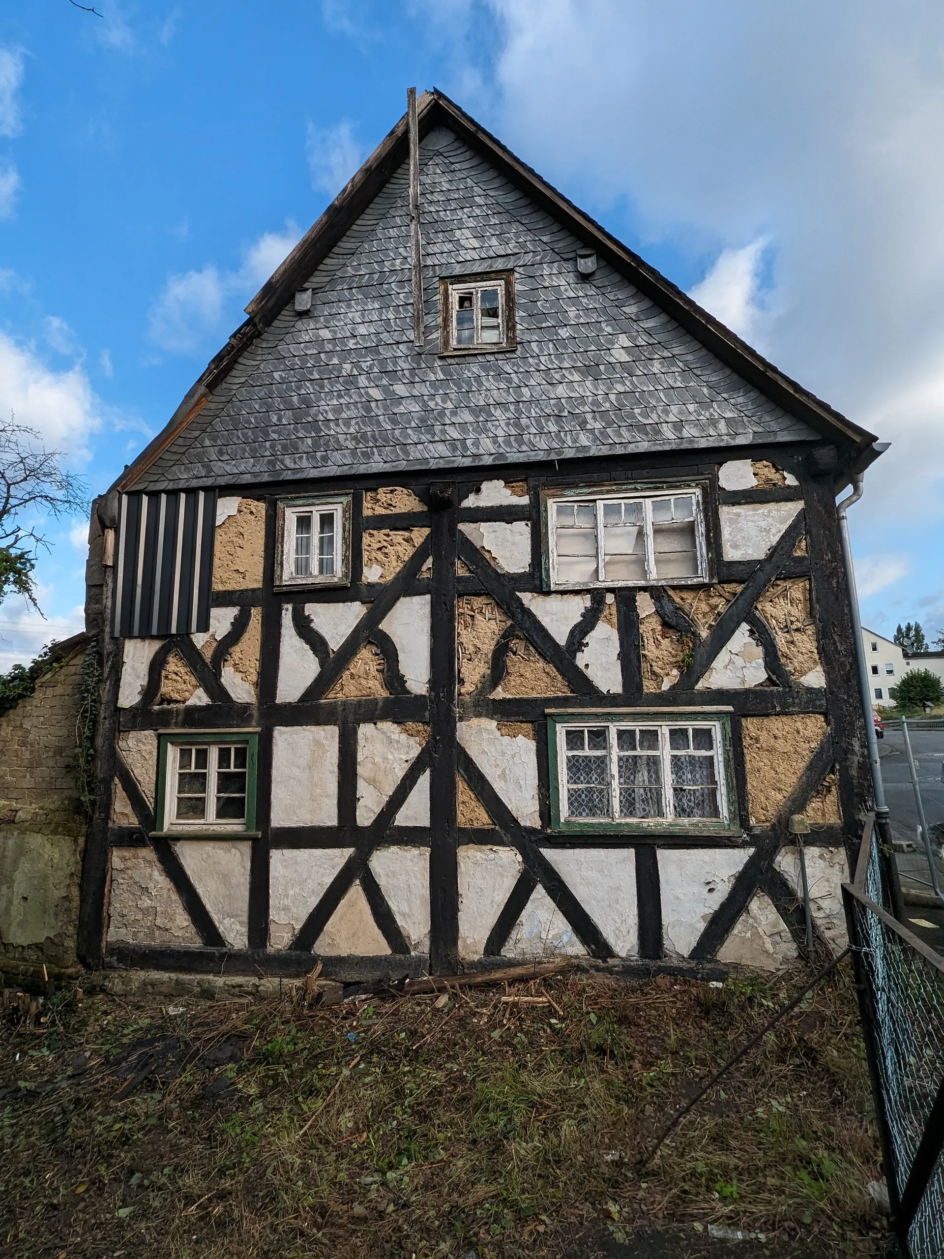
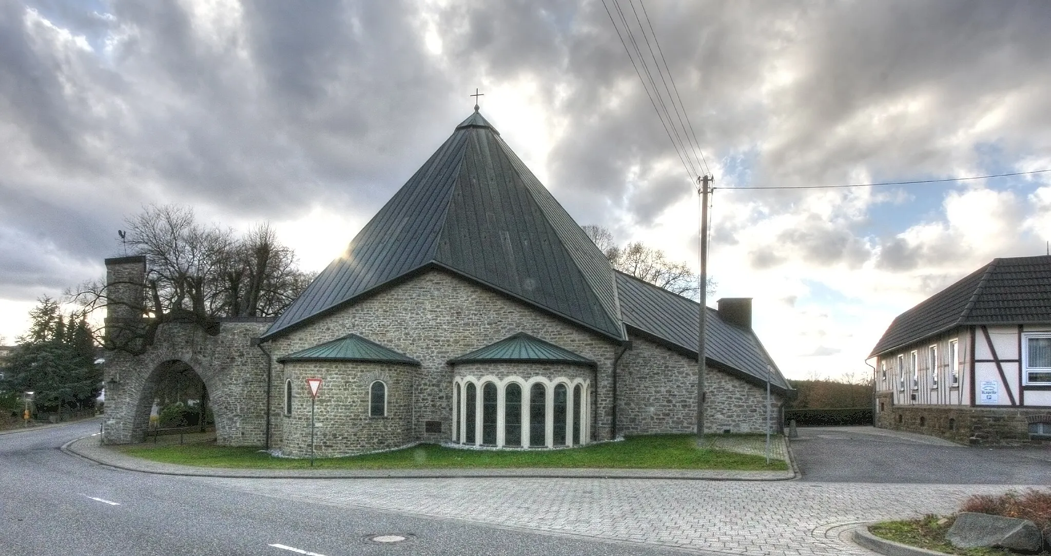
IsertVillageAt 12 km, you'll reach Isert, a tranquil village known for its beautiful old houses and charming atmosphere.
19 km
19 km
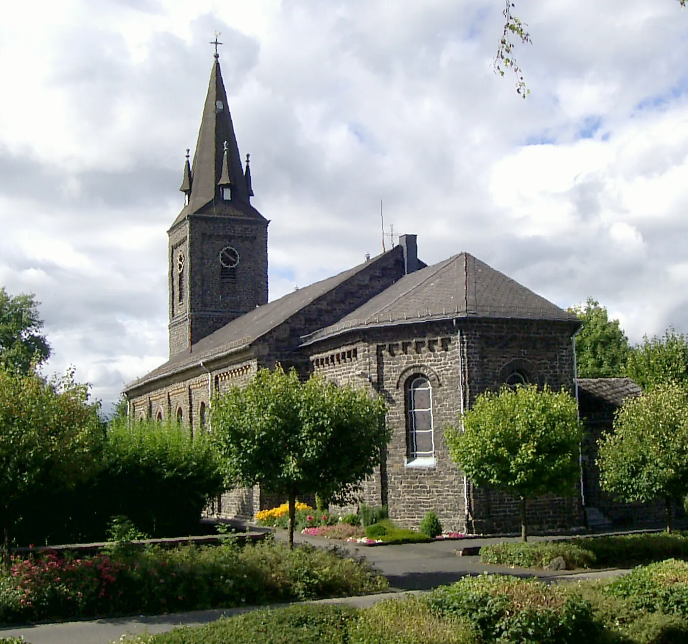
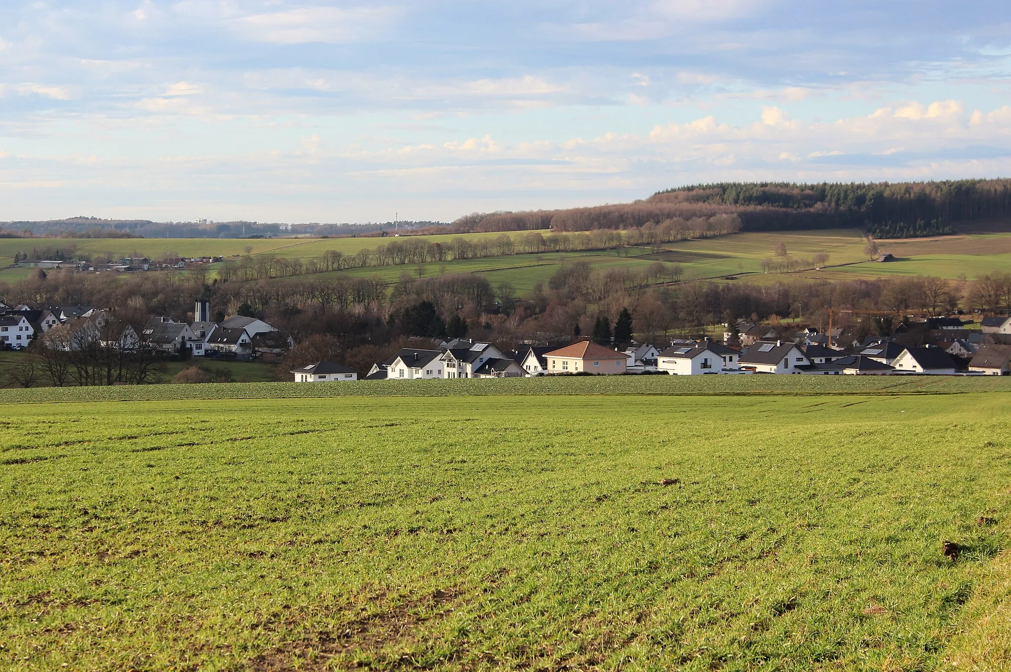
BirkenbeulVillageAt 19 km, you'll pass through Birkenbeul, a small hamlet surrounded by lush green fields and rolling hills.
20 km
20 km
Beulskopf388 mPeakAt 20 km, the route takes you to Beulskopf, where you can enjoy panoramic views of the surrounding countryside.
32 km
32 km
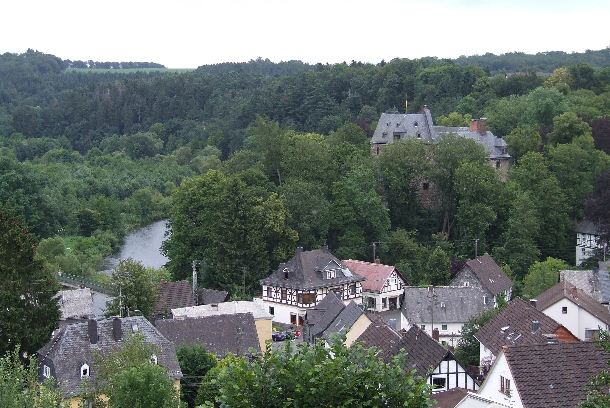
StrombergVillageAt 32 km, you'll pass Stromberg, a quaint village nestled in the heart of nature, offering a perfect spot for a break.
34 km
34 km
Düsseldorfer HütteViewpointAt 34 km, you'll find the Düsseldorfer Hütte, a rustic mountain hut offering refreshments and a cozy atmosphere.
56 km
56 km
RuppichterothVillageAt 56 km, the route crosses Ruppichteroth, a charming town known for its well-preserved half-timbered houses.
67 km
67 km
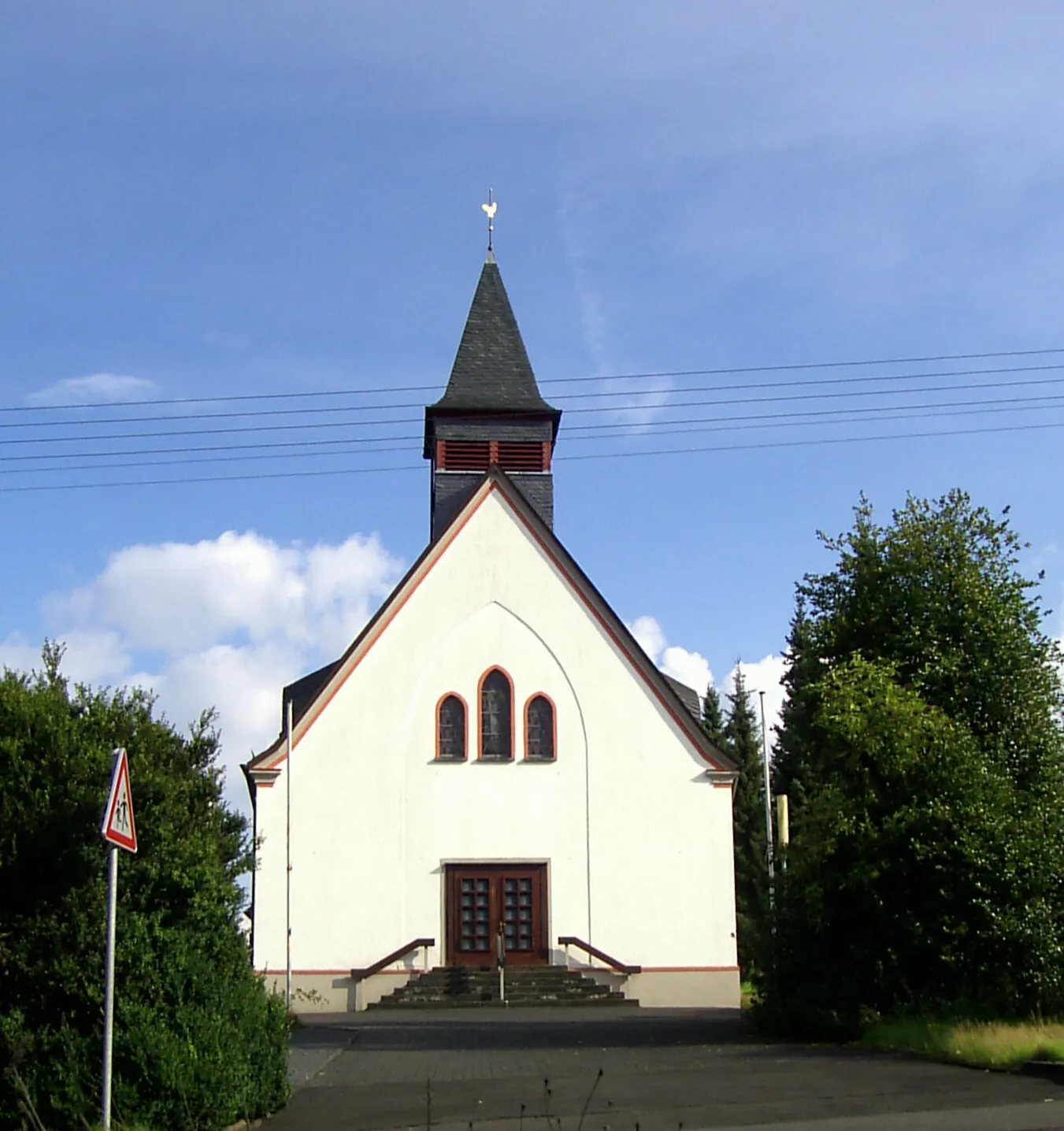
WaldbrölTownAt 67 km, you'll approach Waldbröl, a vibrant town surrounded by lush forests and peaceful nature.
68 km
68 km
Die MauerViewpointAt 68 km, you'll pass by Die Mauer, a historic wall marking the former border between East and West Germany.
96 km
96 km
Finish: Gebhardshain Village centerGebhardshain: Cycling through the hilly landscapes and charming villages of Gebhardshain
Cycling routes from Gebhardshain:
Hidden Hills Gravel Ride Hidden Gems of Rural Western Germany A Road Cycling Journey Through History Scenic Wonders and Cultural Treasures Herdorf and Scheuer-Berg Gravel Ride Panoramic Views and Historical Delights Barbaraturm Loop Enspel Challenge Isert and Beulskopf Gravel Adventure The Lively Hills of Westerwald
Cycling routes nearby: