The Challenging Gravel Expedition
A gravel cycling route starting from Hachenburg
Embark on an epic gravel expedition in the surroundings of Hachenburg
Map
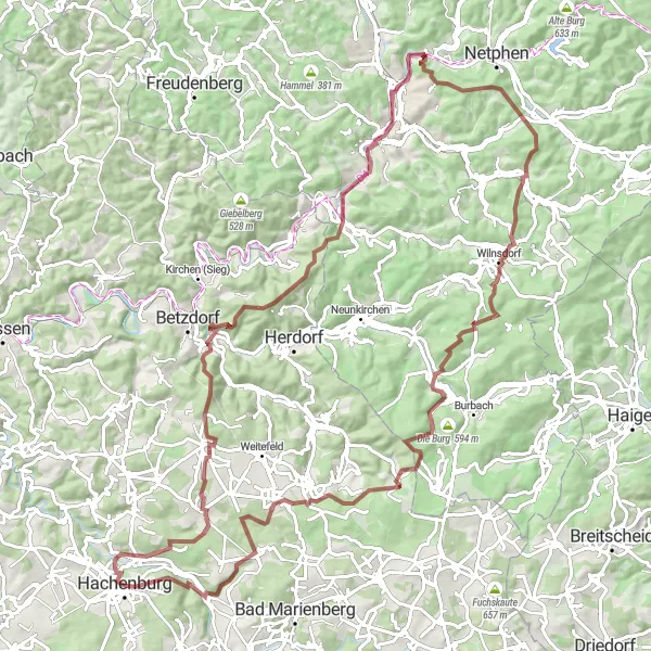
This challenging gravel route offers an epic adventure for experienced gravel cyclists. With a distance of 102 kilometers and an ascent of 2,038 meters, this route will test the limits of your endurance and skill. Immerse yourself in the natural beauty of the region as you pass by highlights such as the serene Nistermühle, the picturesque Windhahn, and the stunning Söhler. Explore the demanding terrain of Walkersdorfer Berg and be rewarded with breathtaking views at the summit. Make sure to take a moment to appreciate the tranquility of Wahlbach before conquering the final climb up Langenbach bei Kirburg. This route promises an unforgettable experience for gravel enthusiasts.
gravel
102 km
2038 m
Savage
Route profile
Highlights on the route
0 km
0 km
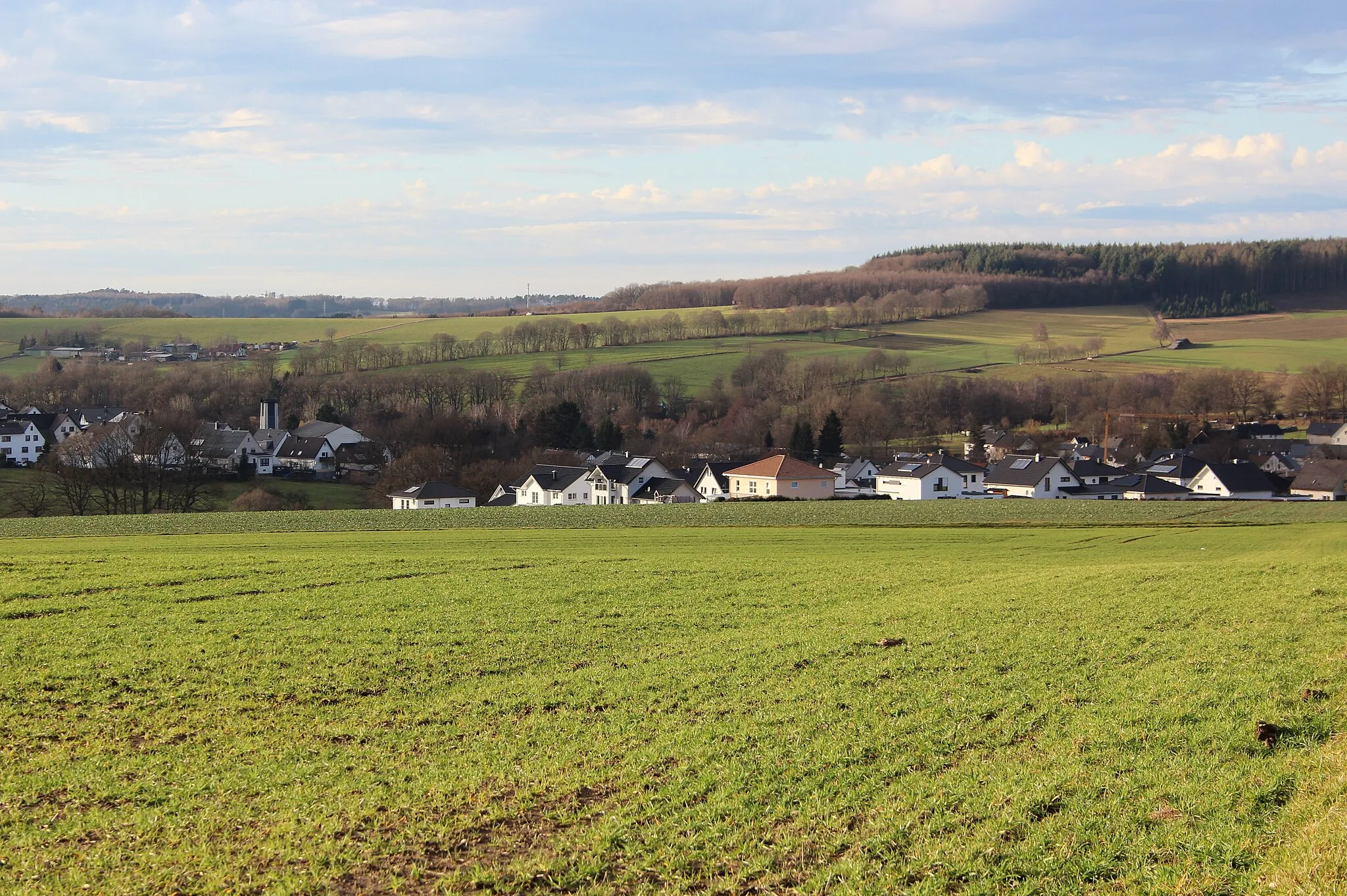
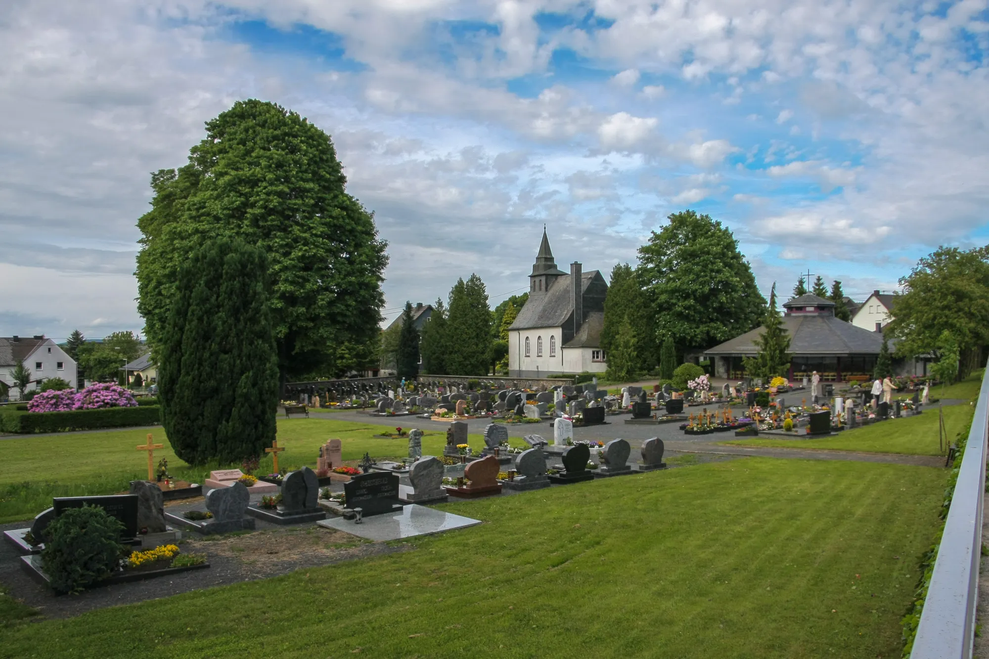
Start: Hachenburg City centerHachenburg: Tranquil cycling in the Koblenz region.
Hachenburg is a municipality located in the Koblenz region of Germany. From a cyclist's perspective, Hachenburg offers a variety of cycling routes, including rolling hills and picturesque countryside. The area is popular among local cyclists but lacks famous cycling-related spots or well-known climbs. Overall, Hachenburg provides a pleasant cycling experience with its scenic landscapes and well-maintained roads, perfect for road and gravel cyclists.1 km
1 km
NistermühleHamletNistermühle is a hidden gem along the route, offering cyclists a peaceful spot to take a break and enjoy the surrounding nature.
9 km
9 km
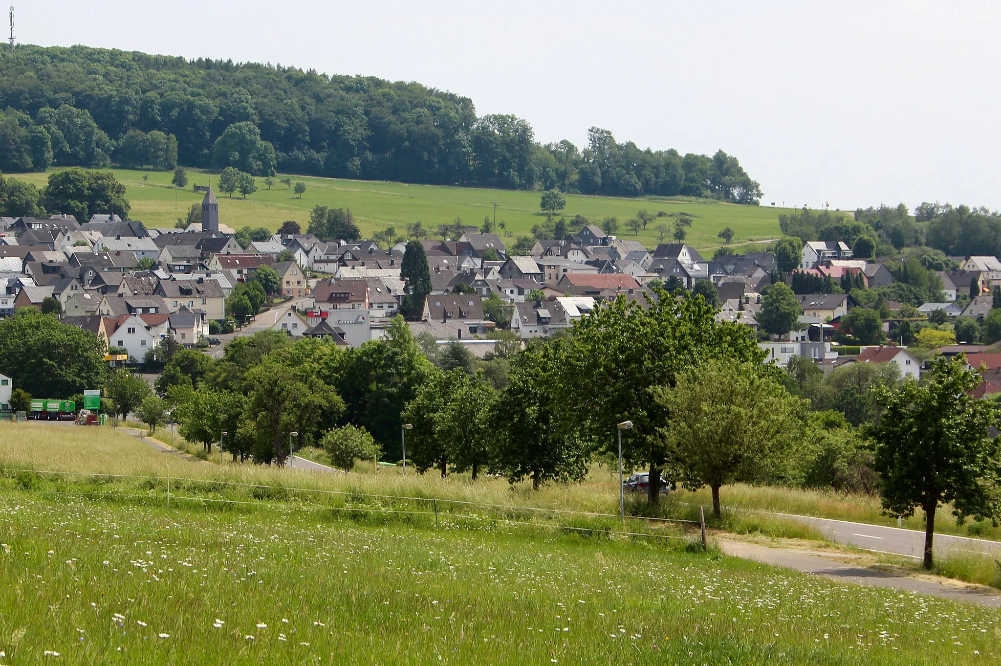
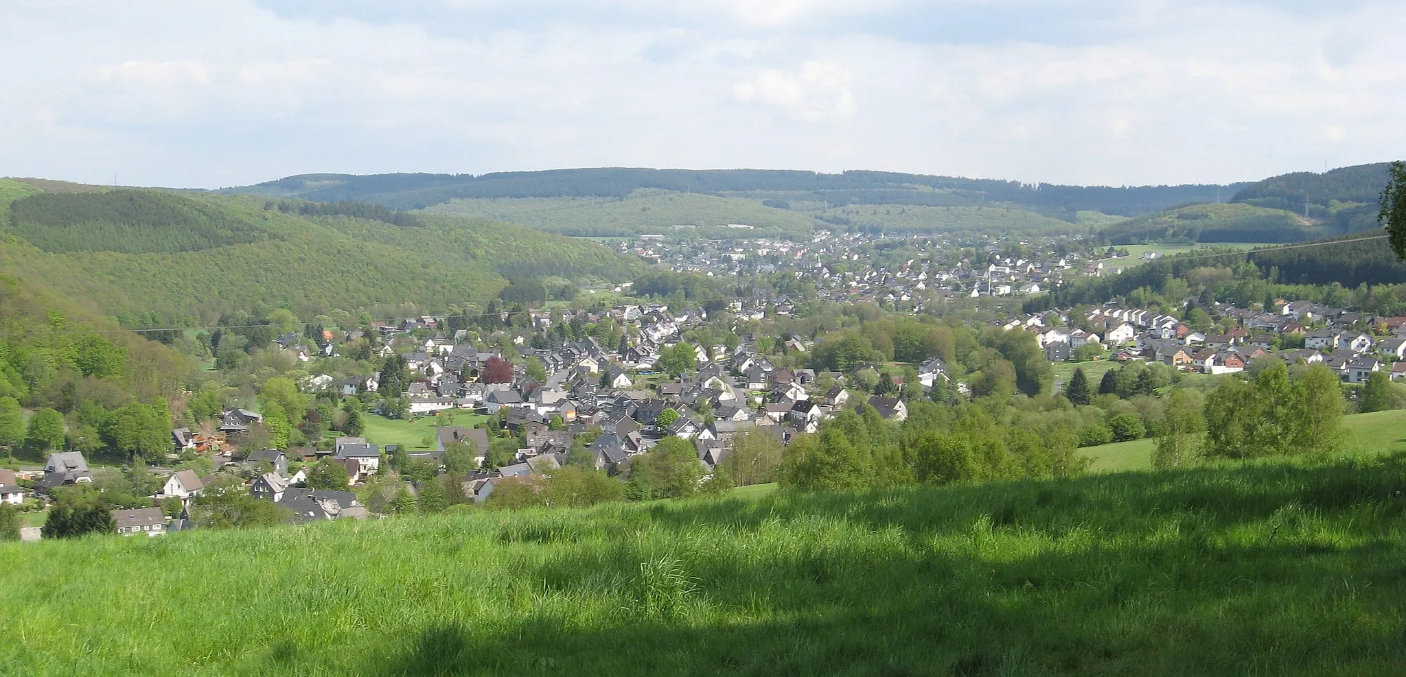
MörlenVillageMörlen is a quaint village situated in a picturesque setting, providing a refreshing stop for cyclists.
26 km
26 km
Windhahn517 mPeakWindhahn offers majestic views of the countryside, making it a highlight for nature and cycling enthusiasts.
50 km
50 km
Söhler501 mPeakSöhler is a secluded spot surrounded by nature, allowing cyclists to take in the peaceful ambiance and recharge before continuing the journey.
66 km
66 km
Walkersdorfer Berg526 mPeakWalkersdorfer Berg is known for its challenging terrain, making it a highlight for experienced gravel cyclists seeking a demanding climb.
71 km
71 km
WahlbachVillageWahlbach is a charming village that invites cyclists to explore its streets and discover its hidden treasures.
81 km
81 km
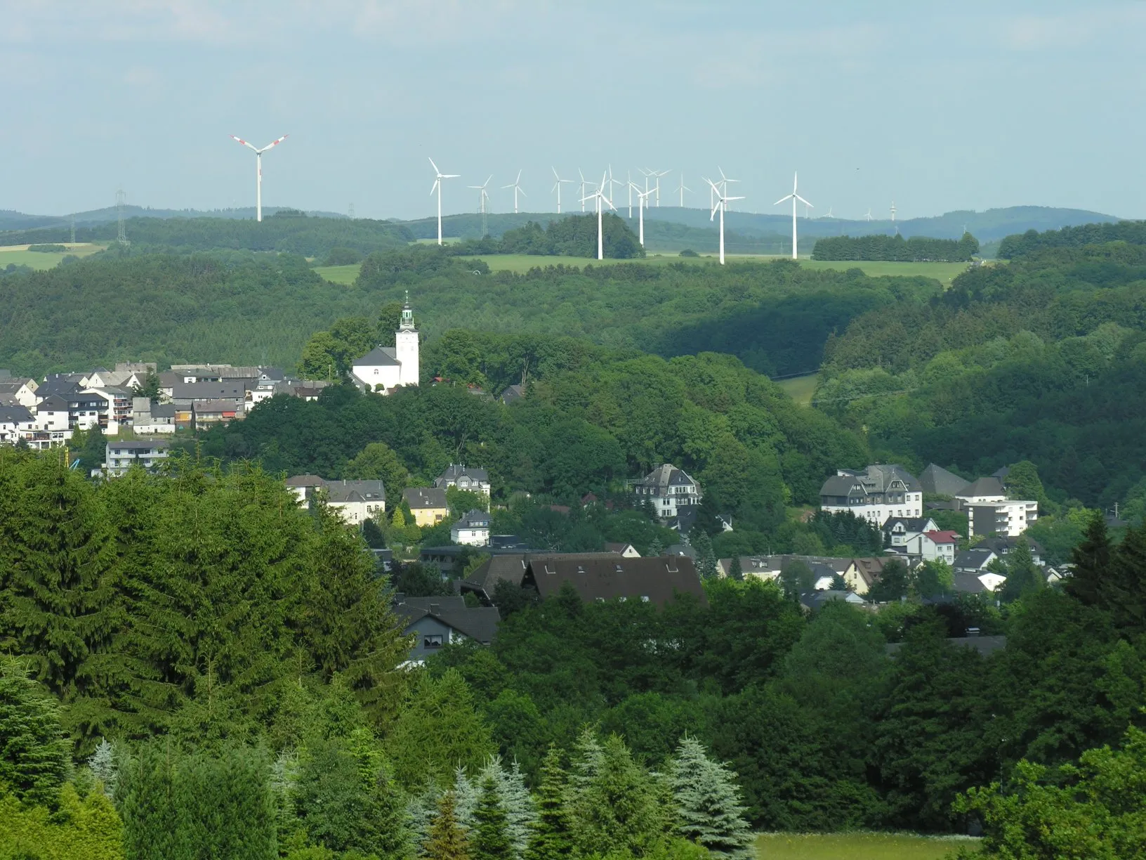
Stegskopf654 mPeakStegskopf offers panoramic views of the scenic landscape, making it a must-see highlight along the route.
88 km
88 km
Langenbach bei KirburgVillageLangenbach bei Kirburg is a small village surrounded by picturesque scenery, offering a tranquil setting for a final climb.
97 km
97 km
KorbVillageKorb is a delightful wine-growing village, attracting visitors with its scenic vineyards and delightful wine tastings.
102 km
102 km
Finish: Hachenburg City centerHachenburg: Tranquil cycling in the Koblenz region.
Cycling routes nearby: