Hahnstätten Road Cycling Route
A road cycling route starting from Hahnstatten
Embark on a challenging road cycling adventure starting from Hahnstätten
Map
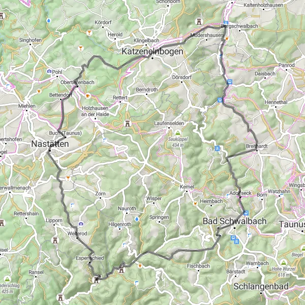
Experience the thrill of road cycling on this scenic route that features stunning views and challenging ascents. With a total ascent of 1444 meters and a distance of 76 kilometers, this route offers a rewarding challenge for well-trained amateur cyclists. From picturesque Mühlberg to the enchanting town of Katzenelnbogen, this route takes you through beautiful landscapes and charming villages. Soak in the beauty of nature as you pedal through the diverse terrain. Leave behind the worries of everyday life and immerse yourself in the serenity of the German countryside.
road
76 km
1444 m
Tough
Route profile
Highlights on the route
0 km
0 km
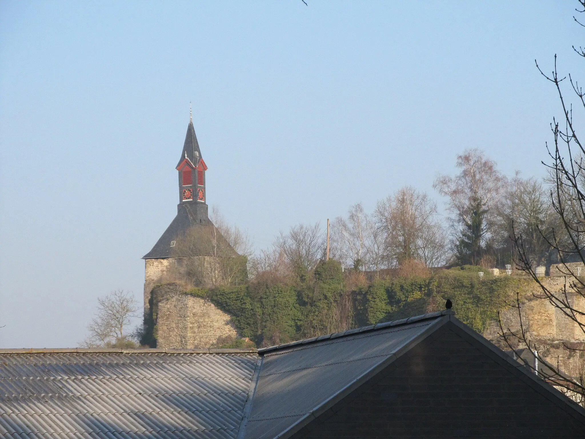
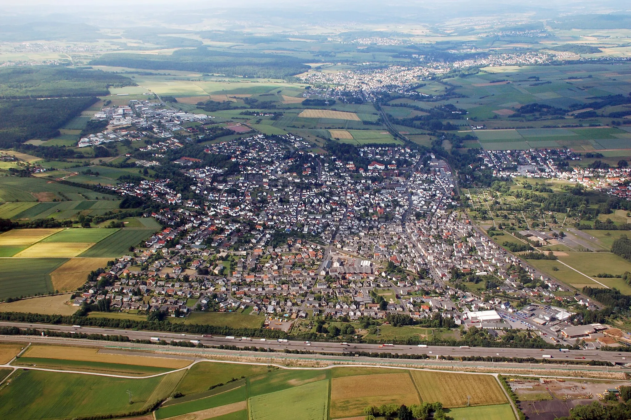
Start: Zollhaus Village centerHahnstätten: Spectacular scenery and rewarding cycling routes in Koblenz
Hahnstätten is a municipality situated in Koblenz, Germany. It offers a mix of road and gravel cycling routes for cyclists of various levels. The roads are generally well-maintained and the countryside surrounding the town is beautiful to explore. A popular climb in the area is the Dauberg, a challenging ascent that offers rewarding views at the top. While Hahnstätten may not be a well-known cycling destination, it still provides enjoyable routes and scenic landscapes for riders.6 km
6 km
Mühlberg320 mPeakAs you cycle through Mühlberg, take a moment to appreciate the stunning views of the surrounding countryside.
21 km
21 km
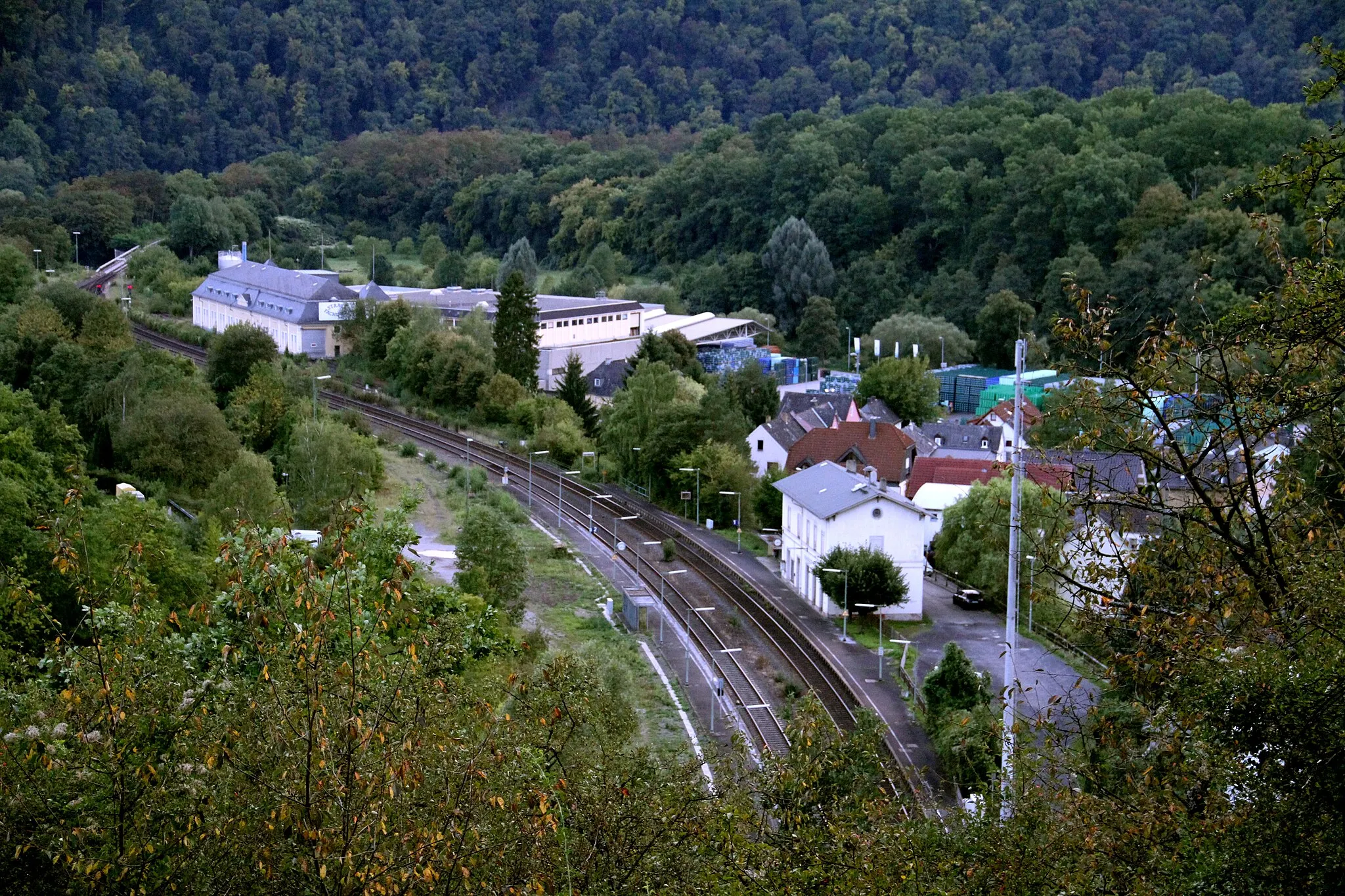
Bad SchwalbachTownStop by at Bad Schwalbach to replenish your energy with local cuisine and experience the town's unique charm.
26 km
26 km
Neunzehntberg528 mPeakNeunzehntberg offers a challenging ascent that will test your cycling skills and give you a sense of achievement.
44 km
44 km
WelterodVillageWelterod is known for its beautiful trails and peaceful ambiance, providing a perfect spot for a scenic break.
46 km
46 km
Feuerkopf414 mPeakThe iconic Feuerkopf is a must-visit highlight on this route, offering breathtaking panoramic views and a sense of accomplishment.
68 km
68 km
Horst393 mPeakEmbark on a thrilling descent from Horst as you enjoy the adrenaline rush and the exhilarating speed.
69 km
69 km
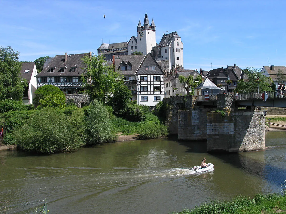
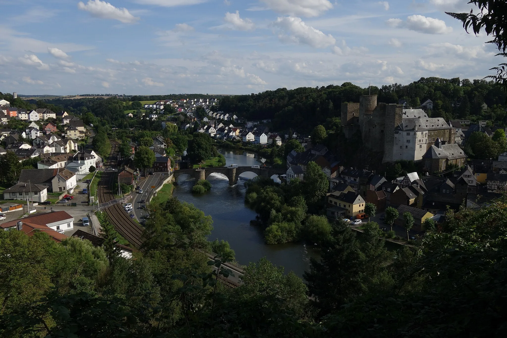
KatzenelnbogenTownKatzenelnbogen will captivate you with its historical charm, enchanting architecture, and warm hospitality.
76 km
76 km
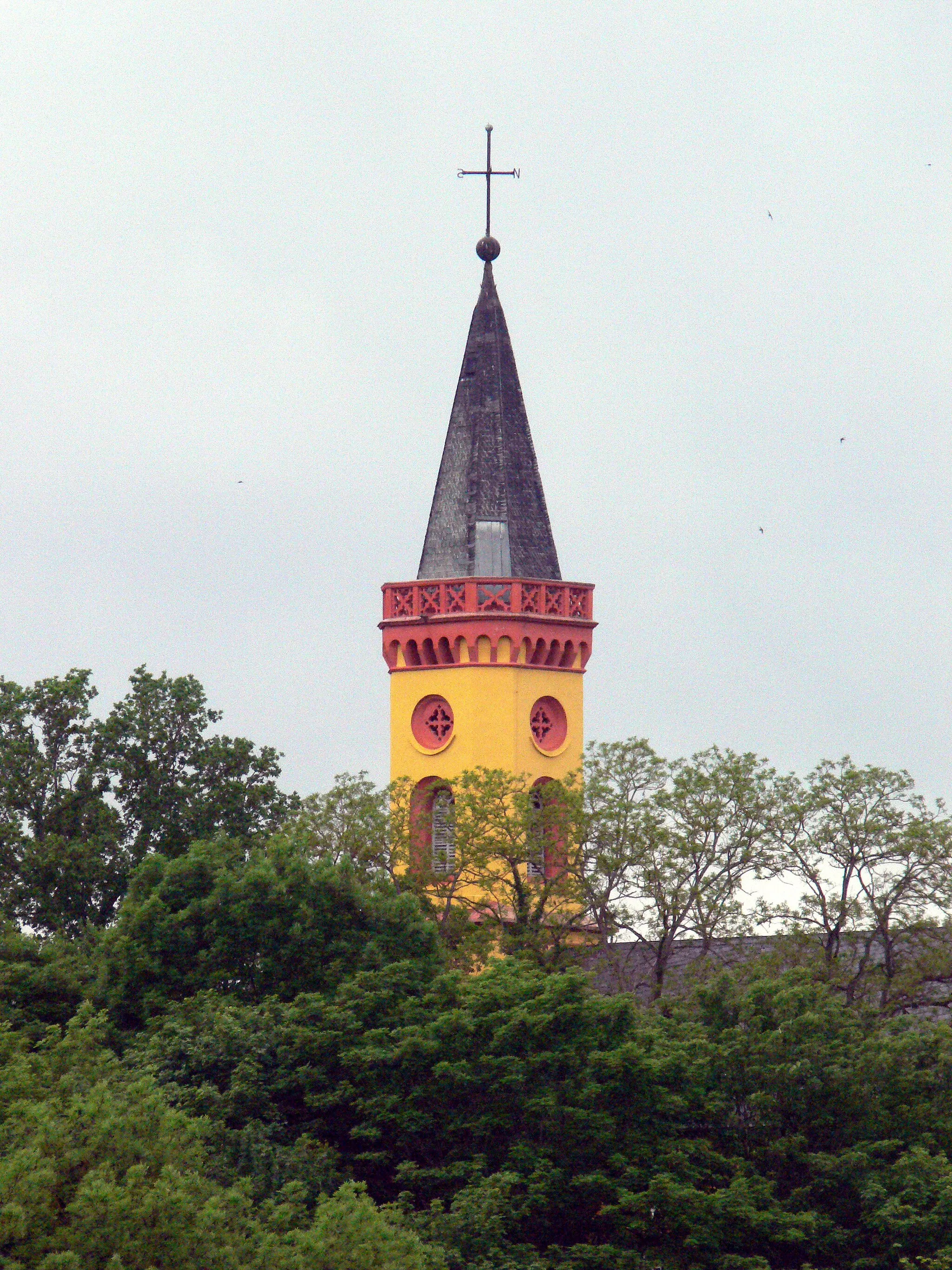
Finish: Zollhaus Village centerHahnstätten: Spectacular scenery and rewarding cycling routes in Koblenz
Cycling routes from Hahnstatten:
Gravel Expedition: Discover the Lahn Valley Road Cycling Adventure: Explore the Moselle Valley Gravel Adventure: Through Forests and Castles Lahn Valley Taunus Loop Taunus Challenge Gravel Adventure in Koblenz Gravel Expedition: The Hills and Valleys of Koblenz Road Cycling Adventure: Conquer the High Cliffs Hahnstätten Road Cycling Route
Cycling routes nearby: