The Kempenich Loop
A road cycling route starting from Kempenich
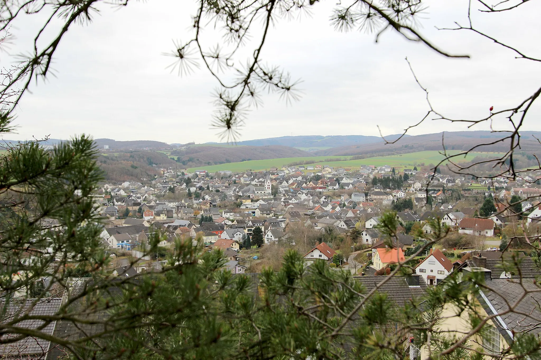
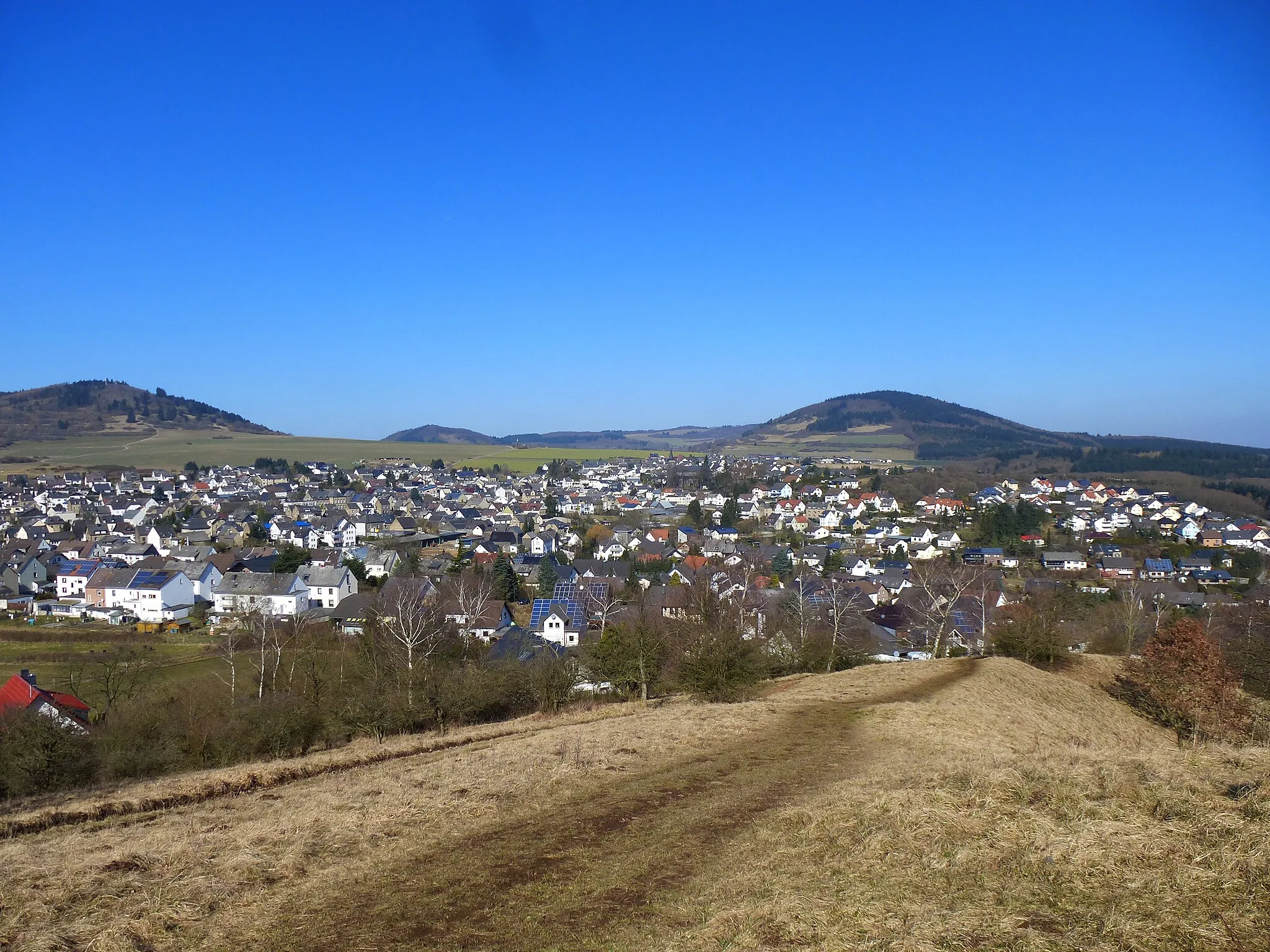
Ride through the picturesque countryside near Kempenich
Map
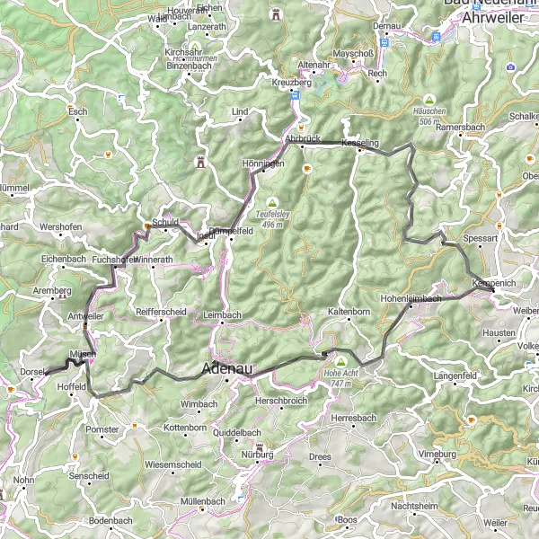
This round-trip cycling route takes you through the beautiful countryside near Kempenich. Enjoy the scenic views and rolling hills as you ride through charming villages and historic landmarks. The route offers a mix of flat and hilly terrain, making it suitable for well-trained amateurs. With a total ascent of 1,298 meters and a distance of 75 kilometers, it's a challenging but rewarding ride. You'll also pass by several notable highlights along the way.
road
75 km
1298 m
Tough
Route profile
Highlights on the route
0 km
0 km
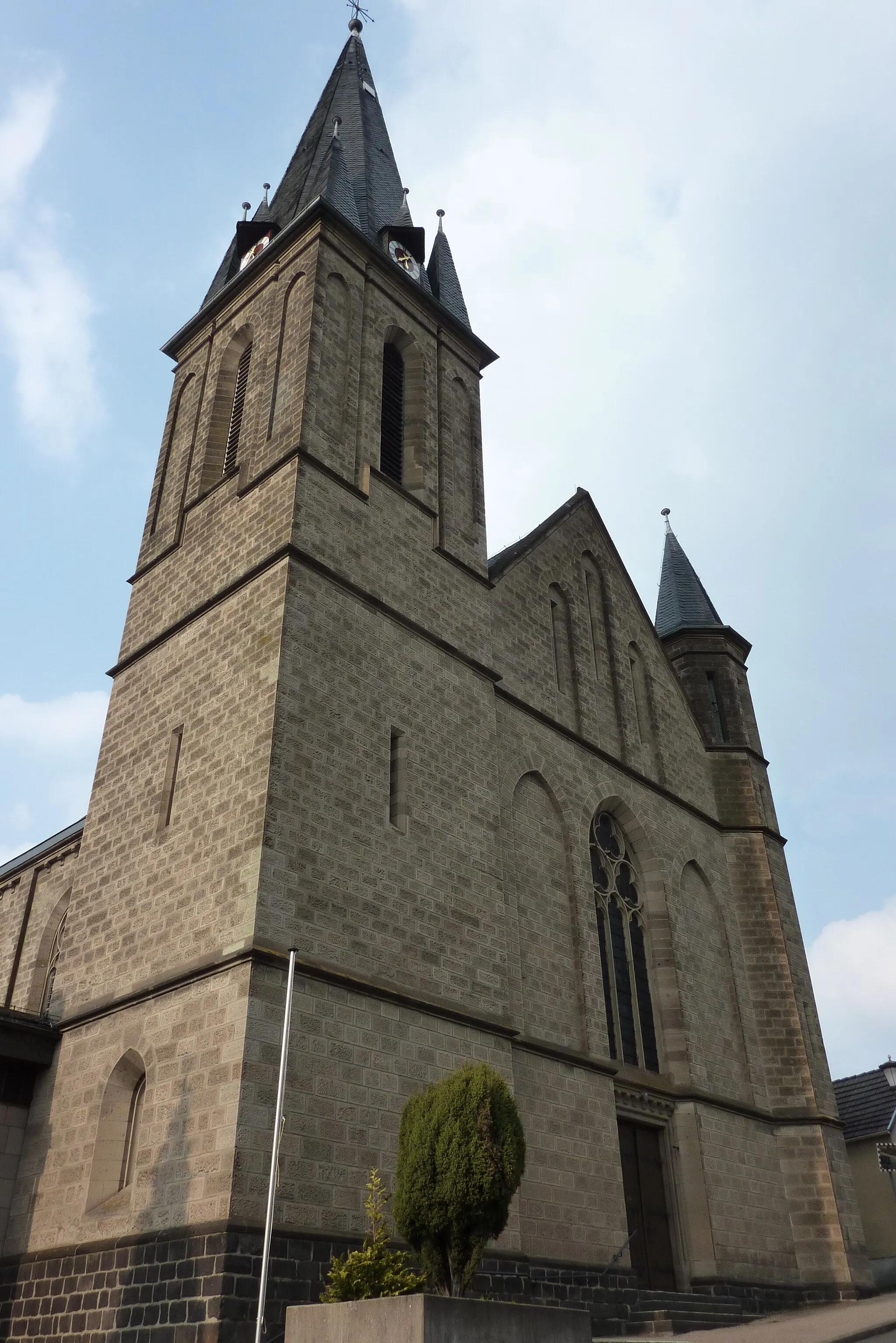
Start: Kempenich Village centerKempenich: Tranquil Cycling Escape in Koblenz
Kempenich in Koblenz, Germany offers an enjoyable cycling experience for road and gravel cyclists. The locality is situated in the picturesque Eifel region, known for its rolling hills, forests, and charming villages. Kempenich provides a variety of well-signposted cycling routes, allowing cyclists to navigate the area with ease. Nearby, cyclists can also challenge themselves by ascending the famous Nürburgring, a world-renowned motorsport track. Overall, with its scenic landscapes and cycling infrastructure, Kempenich receives a rank of 3.10 km
10 km
Hohe Acht747 mPeakVisit the Hohe Acht, the highest point in the Eifel mountain range, and enjoy panoramic views.
17 km
17 km
AdenauTownAdenau, a charming town known for its historic buildings and Nurburgring race track.
24 km
24 km
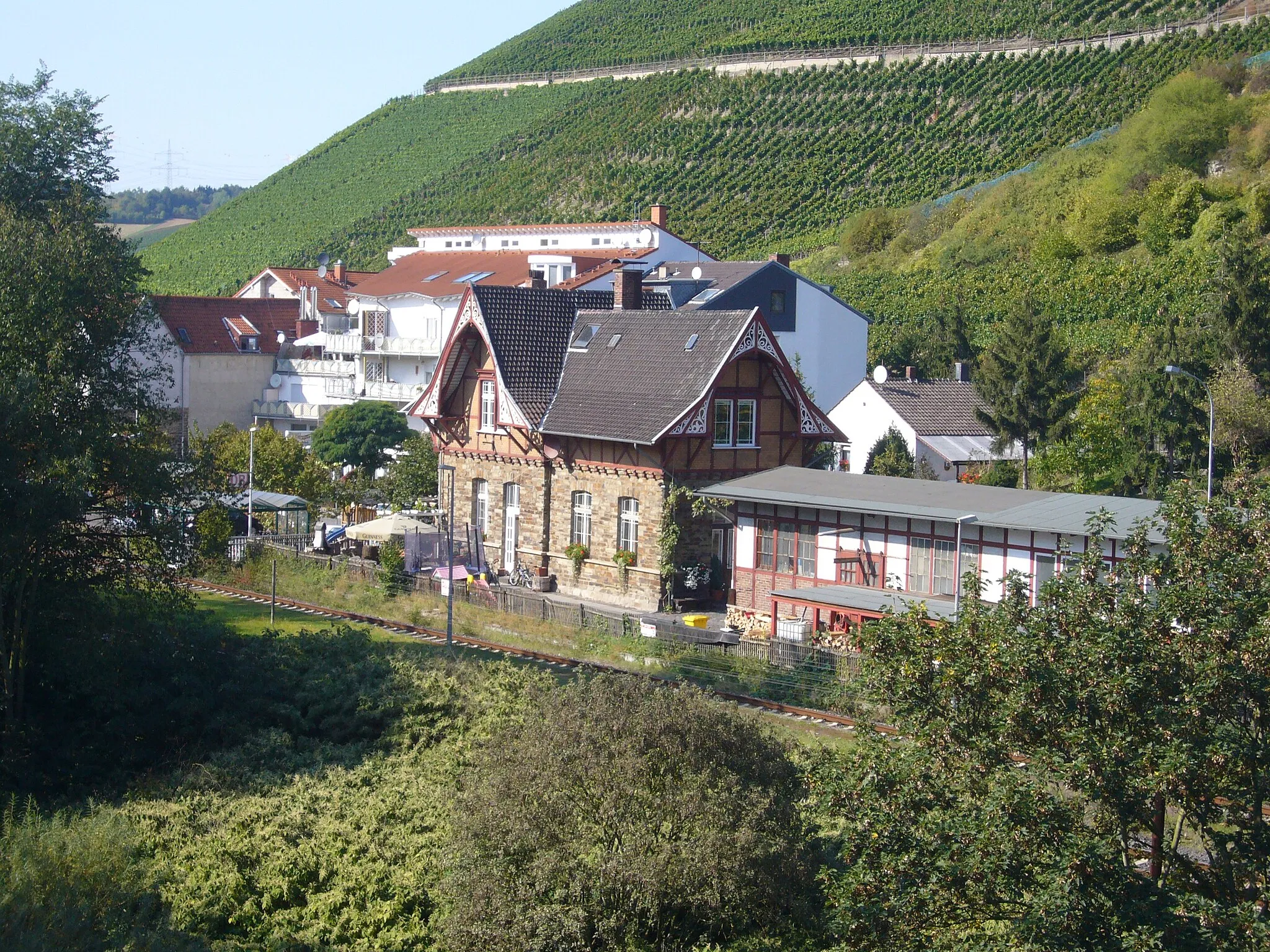
WirftVillageStop by the small village of Wirft and explore its medieval castle ruins.
36 km
36 km
AntweilerVillageAntweiler, a picturesque village with half-timbered houses and scenic landscapes.
53 km
53 km
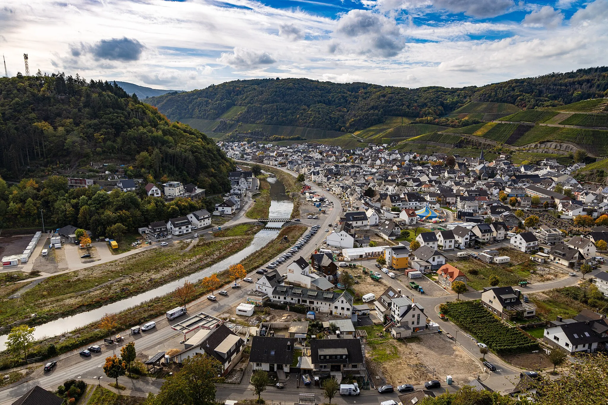
HönningenVillageHönningen, a quaint village with a historic church and beautiful views of the Rhein river.
71 km
71 km
Bockshahn643 mPeakBockshahn, a peaceful area with rolling hills and stunning views of the surrounding countryside.
75 km
75 km
KempenichVillageKempenich, the starting point of the route and a charming village with a rich history.
75 km
75 km
Finish: Kempenich Village centerKempenich: Tranquil Cycling Escape in Koblenz
Cycling routes from Kempenich:
The Scenic Tour Kempenich Gravel Loop The Gravel Adventure Scenic Gravel Route in Kempenich The Kempenich Loop Kempenich Grand Gravel Tour The Rolling Hills Ride The Ultimate Cycling Challenge Breathtaking Road Cycling Route near Kempenich The Ultimate Cycling Adventure from Kempenich The Koblenzer Loop
Cycling routes nearby: