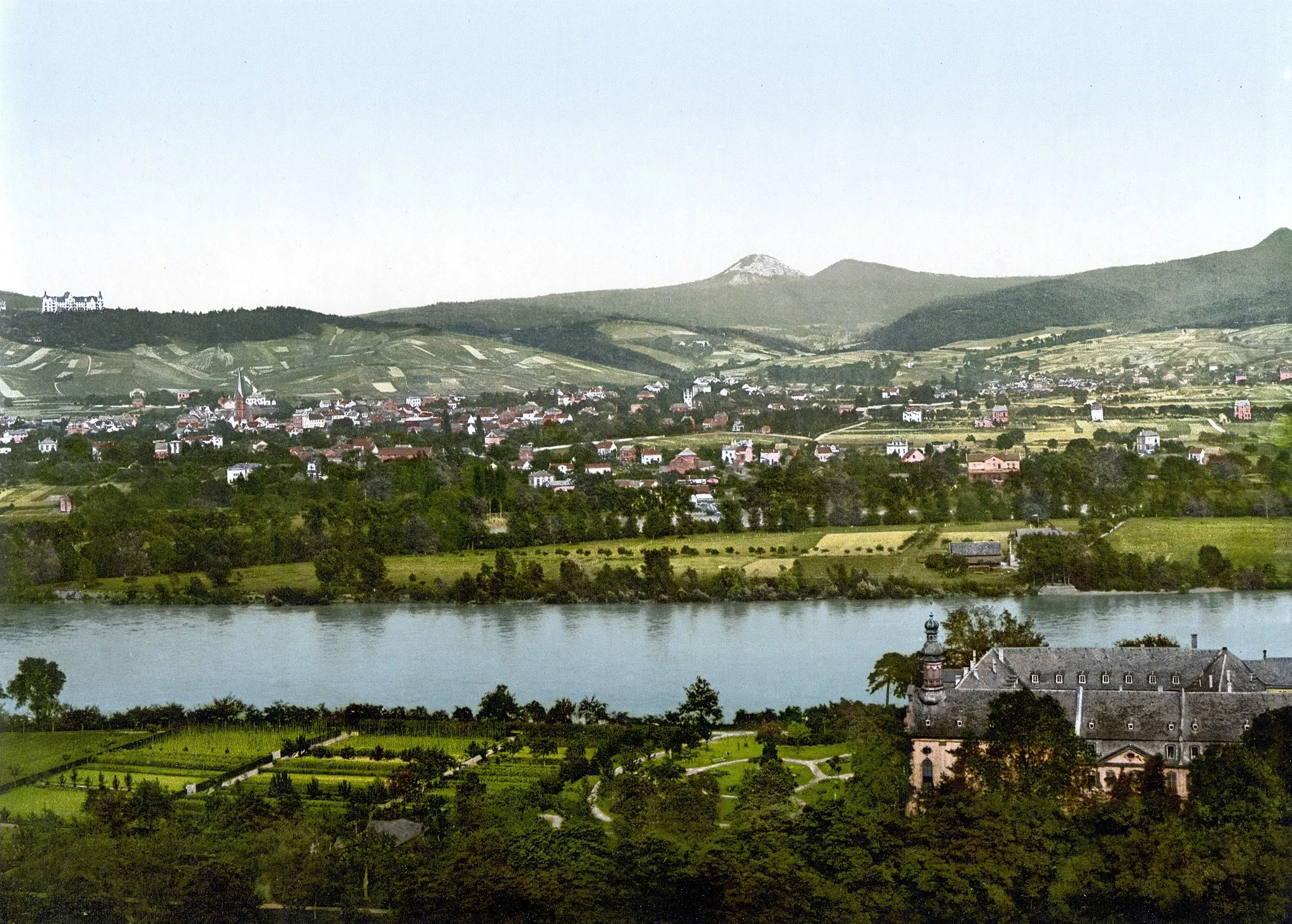
Erpeler Ley and Drachenfels
A gravel cycling route starting from Leubsdorf
An epic gravel ride with stunning views
Map
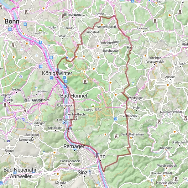
This challenging gravel route takes you past the iconic Erpeler Ley and the famous Drachenfels. With almost 1,000 meters of ascent over 68 kilometers, this ride will test your endurance and reward you with magnificent vistas of the Rhine Valley.
gravel
68 km
958 m
Tough
Route profile
Highlights on the route
0 km
0 km
Start: Leubsdorf Village centerLeubsdorf: Immerse yourself in the beauty of the Rhine Valley while cycling in Leubsdorf, Koblenz
Leubsdorf is a cyclist's paradise located in Koblenz, Germany. The locality offers a variety of cycling routes suitable for both road and gravel cyclists. Explore the beautiful Rhine Valley, witness stunning castles along the Rhein-Radweg, or challenge yourself with the ascent to the famous Loreley rock. Leubsdorf is an exceptional destination for cyclists seeking scenic beauty, rich history, and challenging climbs.6 km
6 km
Erpeler Ley191 mPeakThe Erpeler Ley offers breath-taking panoramic views over the Rhine River and the surrounding landscape.
7 km
7 km
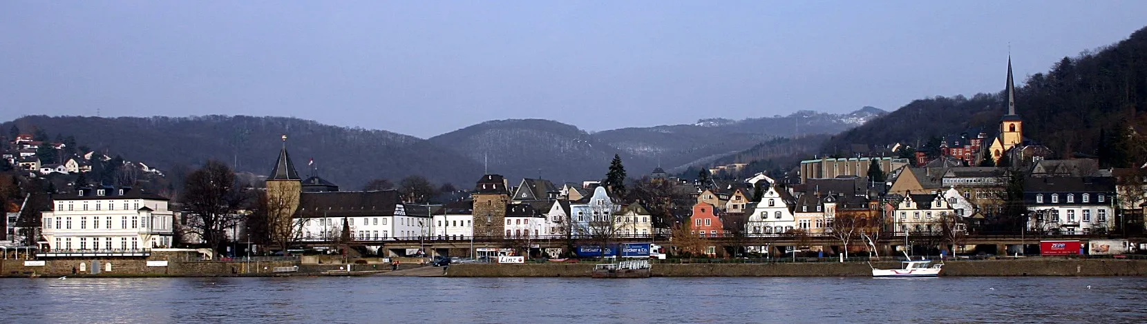
RemagenTownThe historic town of Remagen is not only a stunning highlight along the route, but it is also known for its famous bridge, the Ludendorff Bridge, which was captured by U.S. forces during World War II.
15 km
15 km
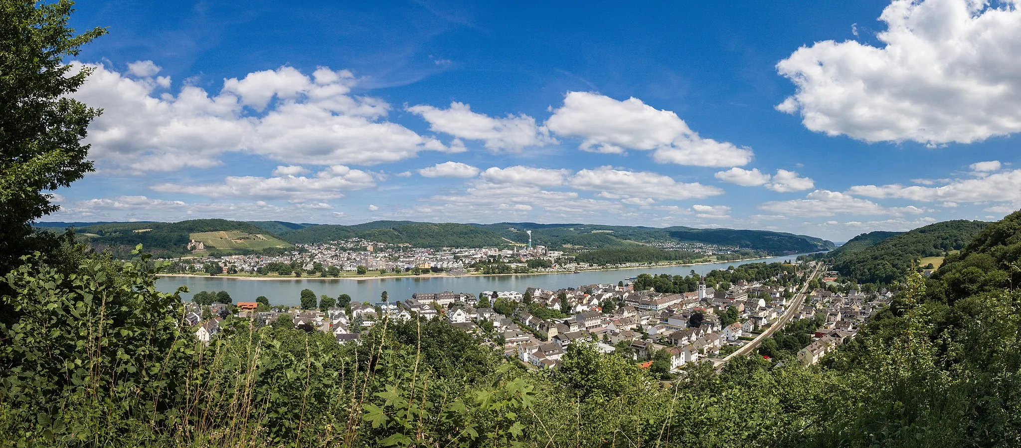
Bad HonnefTownBad Honnef is a picturesque town located on the eastern bank of the Rhine, known for its beautiful promenade and charming cafes.
18 km
18 km
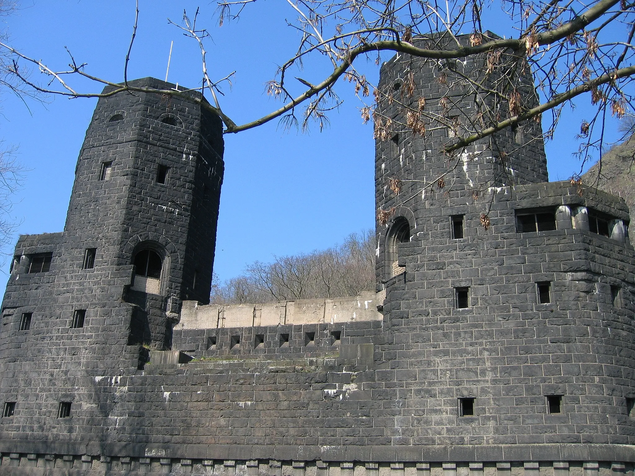
Drachenfels321 mPeakThe Drachenfels is a legendary mountain offering one of the most iconic views of the Rhine River. From the summit, you can see as far as Cologne on a clear day.
24 km
24 km
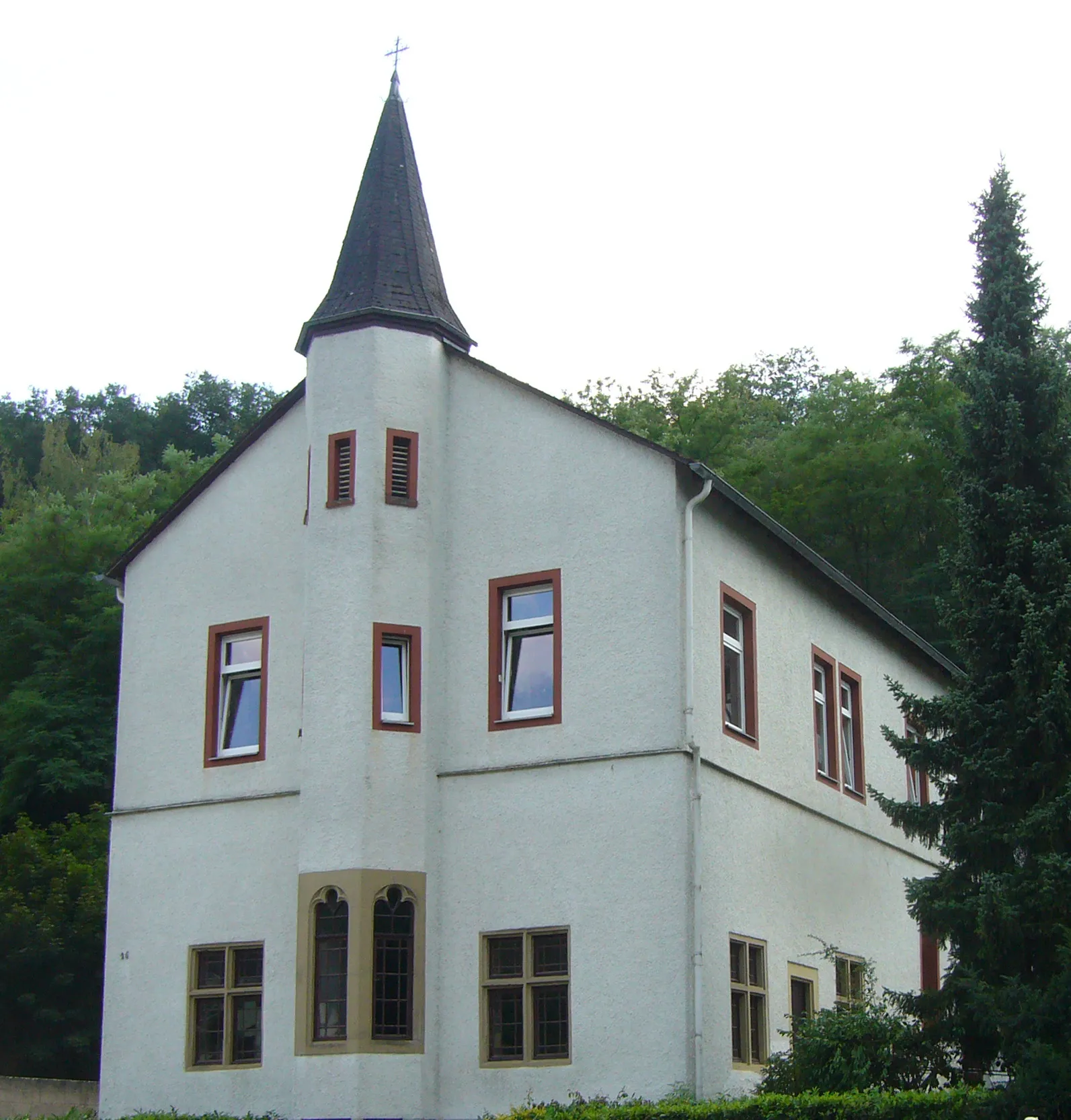
Chorruine HeisterbachAttractionThe Chorruine Heisterbach is the atmospheric remains of a former Cistercian monastery, surrounded by lush greenery.
24 km
24 km
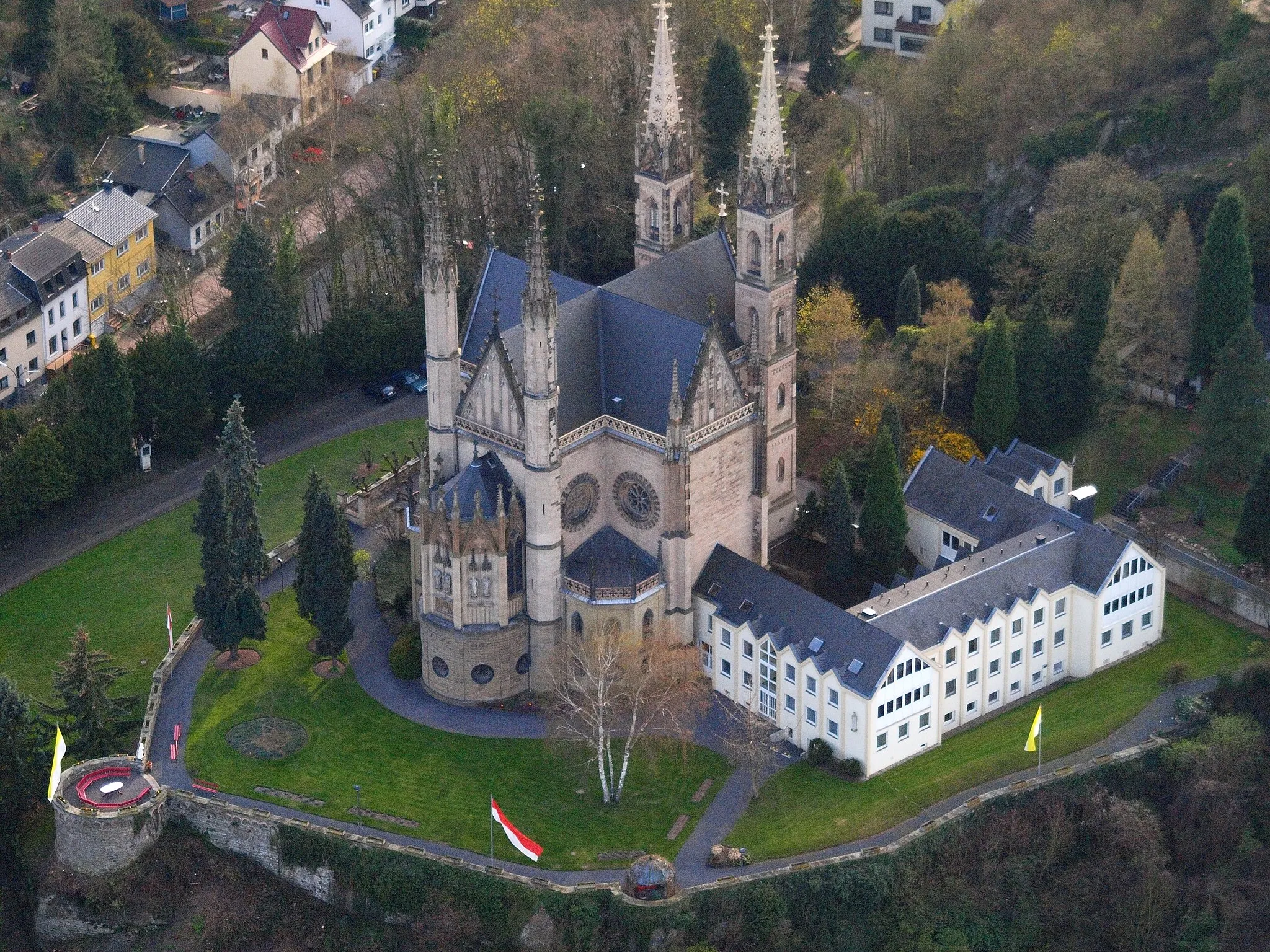
Petersberg331 mPeakThe Petersberg is a hill located near Königswinter, offering lovely views of the Rhine Valley and the Seven Hills.
42 km
42 km
DahlhausenVillageDahlhausen is a charming village known for its quaint half-timbered houses and its proximity to the beautiful Wiedtal.
56 km
56 km
VettelschoßVillageVettelschoß is a picturesque village situated in a scenic valley, surrounded by rolling hills and forests.
56 km
56 km
Wäller Blick VettelschoßViewpointThe Wäller Blick Vettelschoß is a lookout point that offers stunning views of the Wiedtal and the Westerwald region.
62 km
62 km
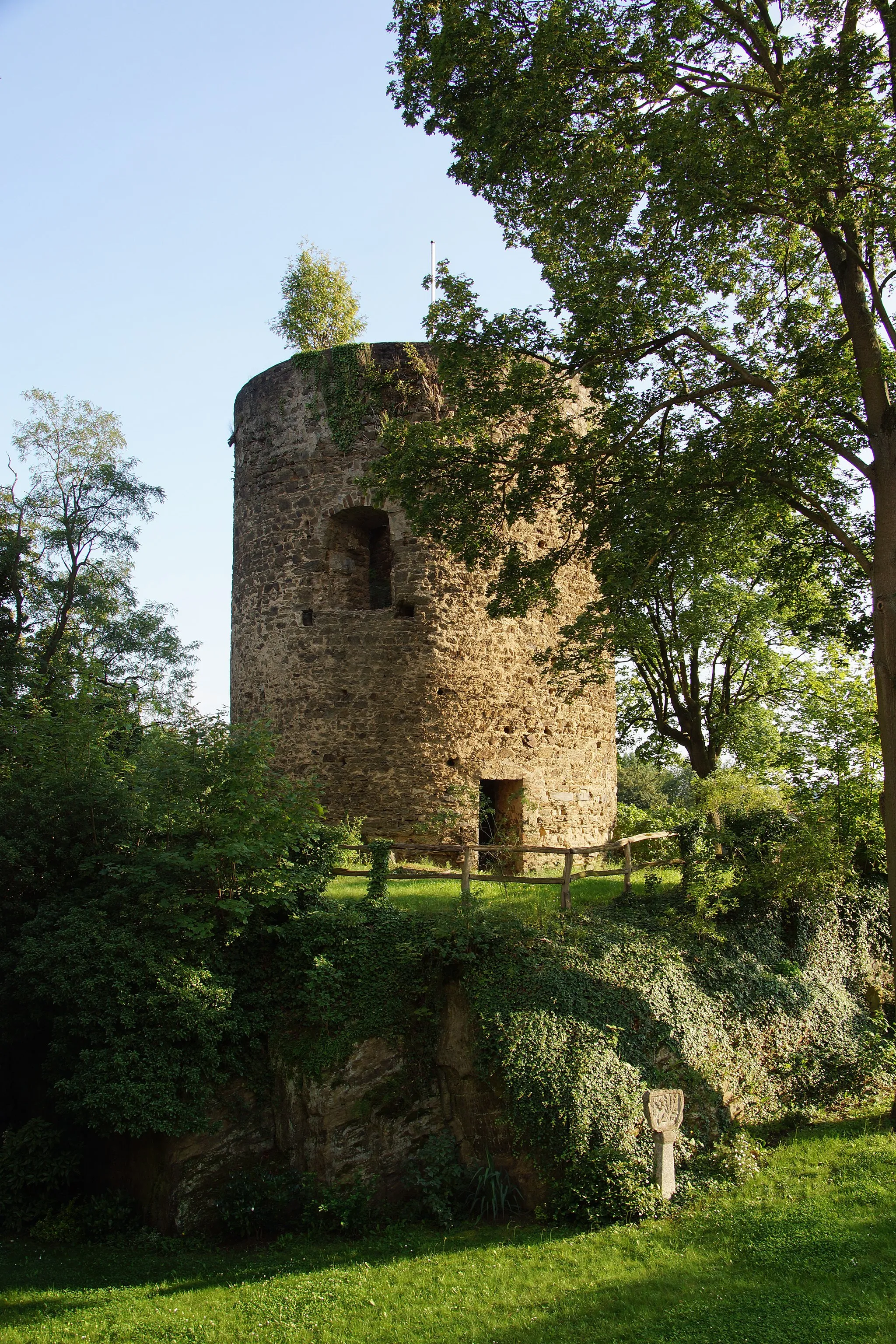
Römerich386 mPeakRömerich is an ancient Roman settlement with well-preserved ruins, including a Roman temple.
67 km
67 km
DattenbergVillageDattenberg is a charming village on a hilltop, offering panoramic views of the Rhine River and the picturesque countryside.
68 km
68 km
Finish: Leubsdorf Village centerLeubsdorf: Immerse yourself in the beauty of the Rhine Valley while cycling in Leubsdorf, Koblenz
Cycling routes nearby: