The Primeval Route
A gravel cycling route starting from Mayen
An off-road adventure through scenic landscapes
Map
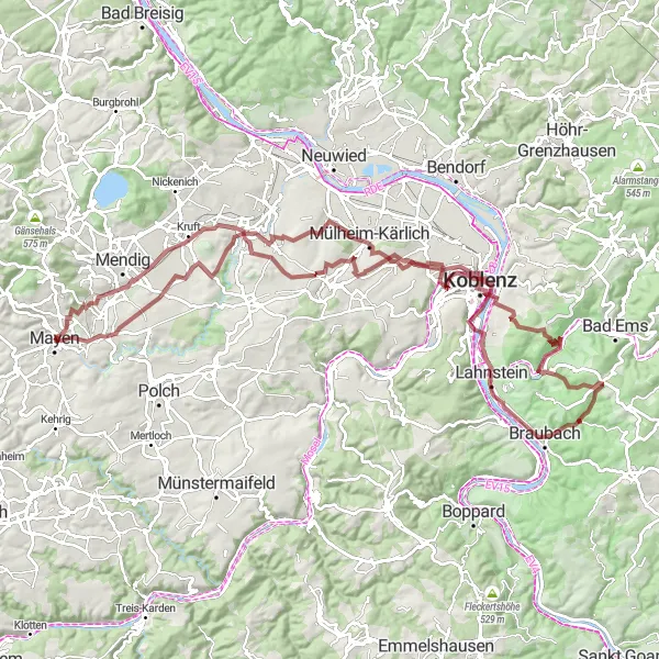
This 114 km gravel route takes you on a thrilling off-road adventure through the picturesque landscapes near Mayen. With a total ascent of 1578m, this route challenges even well-trained amateur cyclists. The epicness of this trail is undeniable, with highlights including the historic Goloturm and the stunning view of Deutsches Eck. The route also takes you past several beautiful castles, such as Schloss Martinsburg and the ruins of Friedenskirche. Get ready for an exhilarating ride through the diverse nature and rich history of the Mayen region.
gravel
114 km
1578 m
Tough
Route profile
Highlights on the route
0 km
0 km
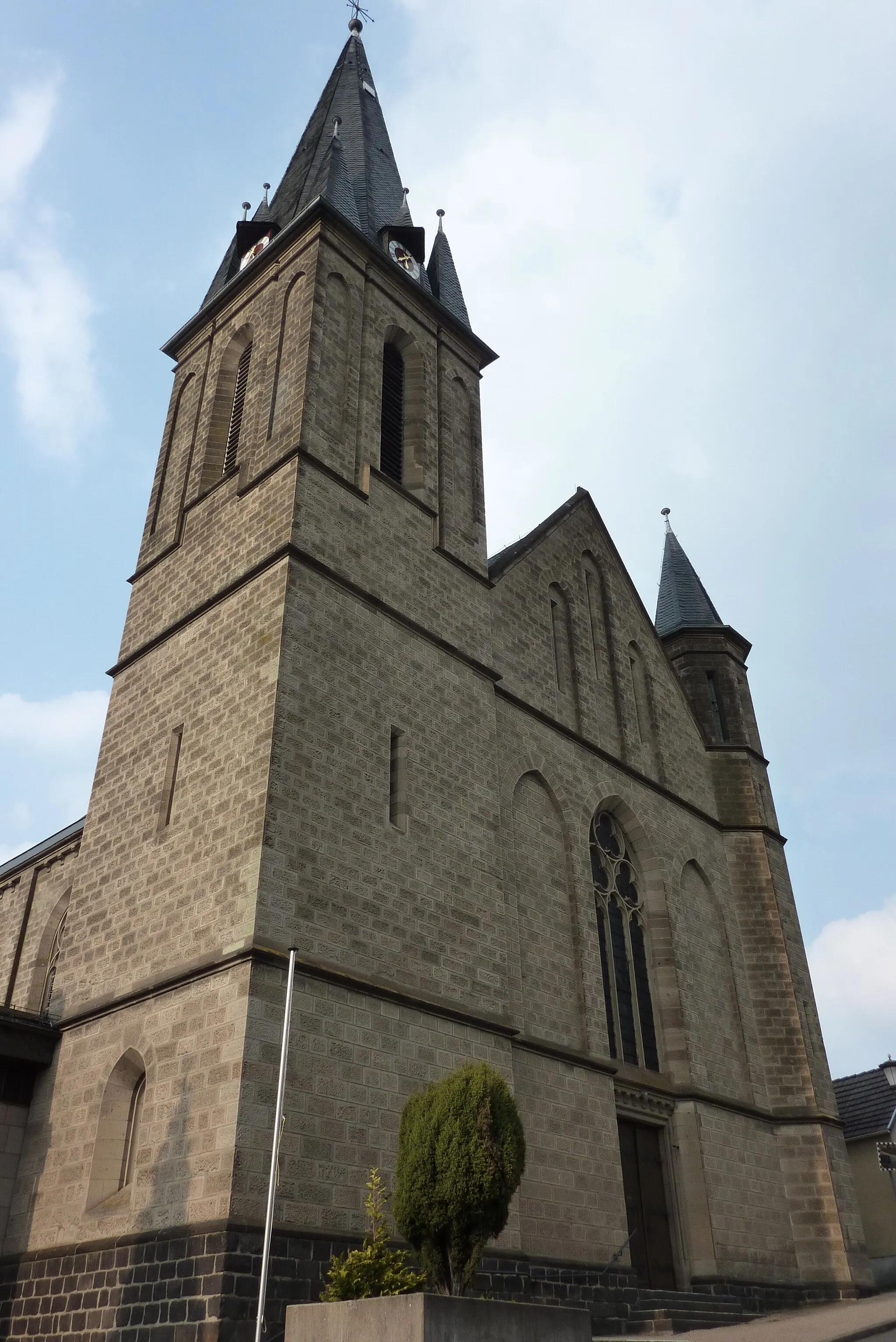
Start: Mayen City centerMayen: Diverse cycling terrain and a famous climb near Mayen, Germany.
Mayen, located in Germany's Koblenz region, offers diverse cycling opportunities. Cyclists can explore both flat stretches and challenging hills, providing options for riders of different skill levels. The roads in Mayen are well-maintained and offer scenic views of the surrounding countryside. A noteworthy cycling spot nearby is the famous climb to Nürburgring, known for its association with professional cycling races. The region is also popular for gravel cycling, with numerous off-road trails to discover. With its varied terrain and famous climbs, Mayen ranks at 4 for cycling enthusiasts.0 km
0 km
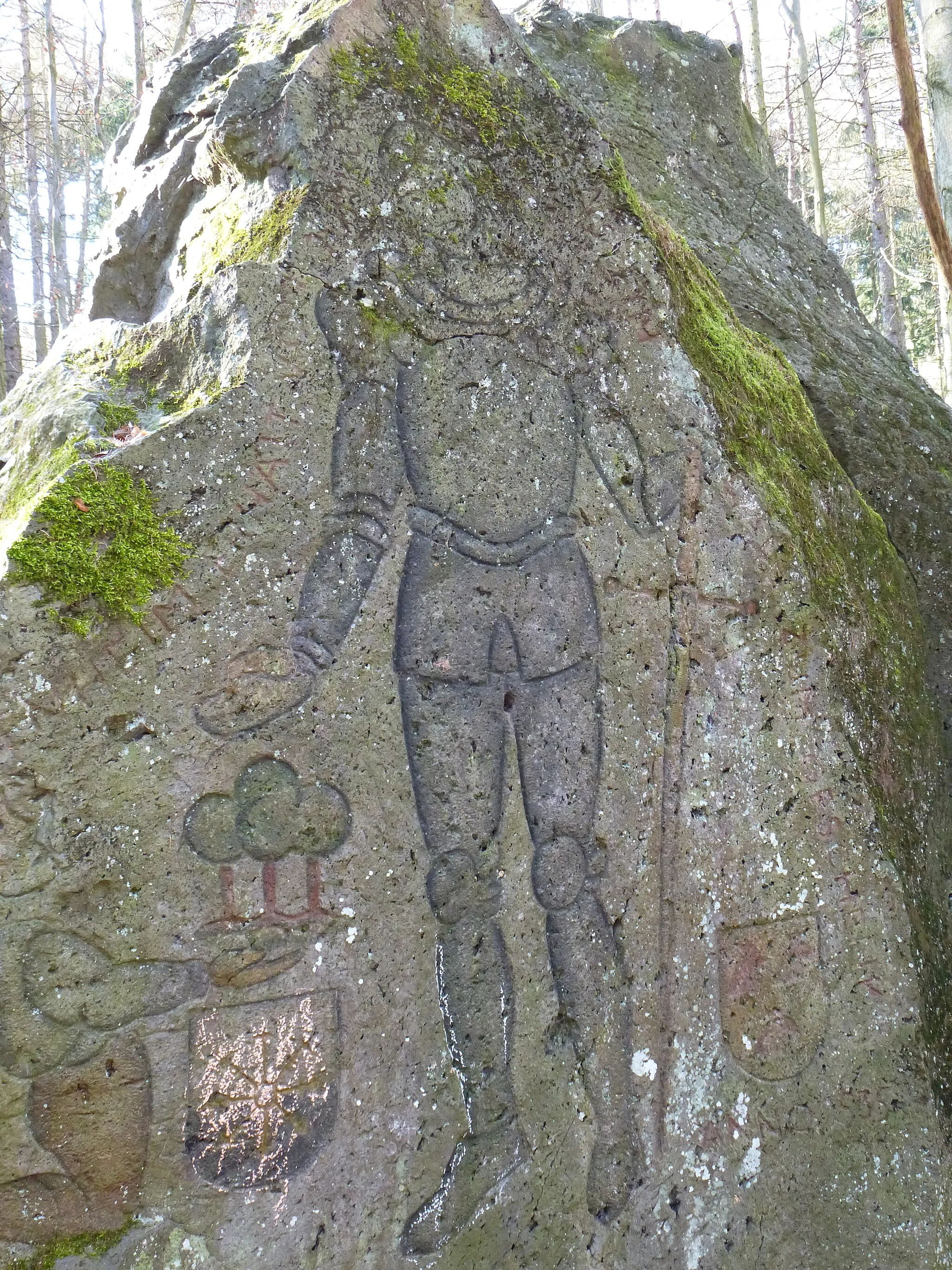
GoloturmViewpointThe Goloturm offers a glimpse into the region's history with its well-preserved medieval architecture.
4 km
4 km
HausenVillageHausen is a charming village with traditional half-timbered houses and scenic countryside views.
19 km
19 km
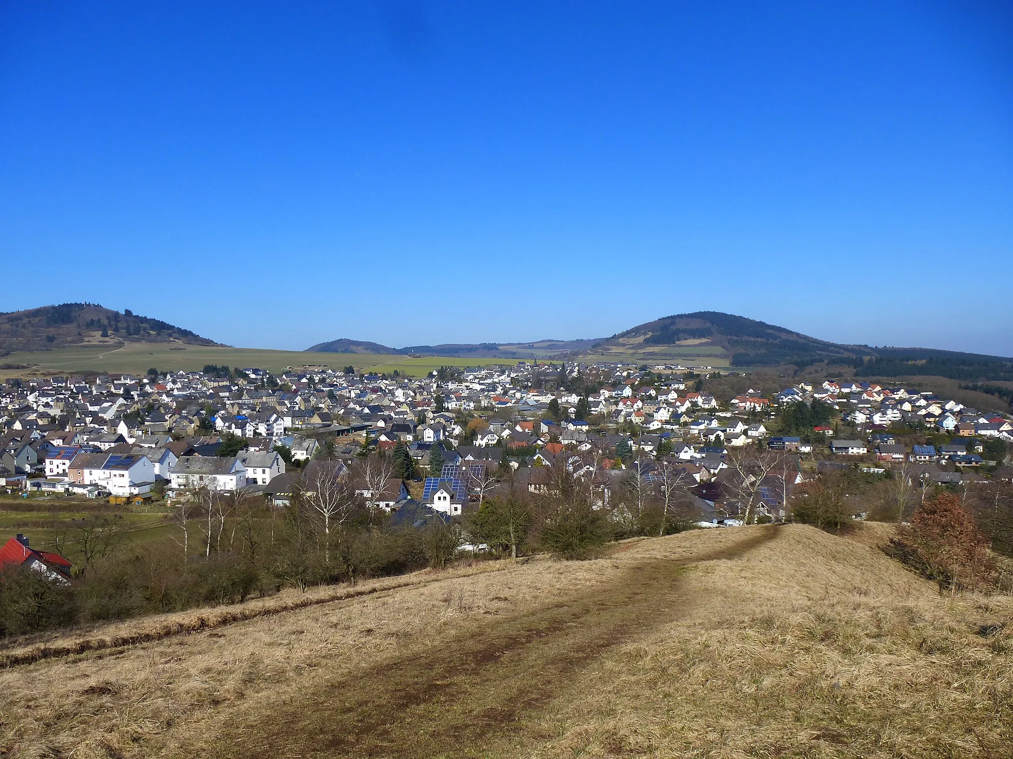
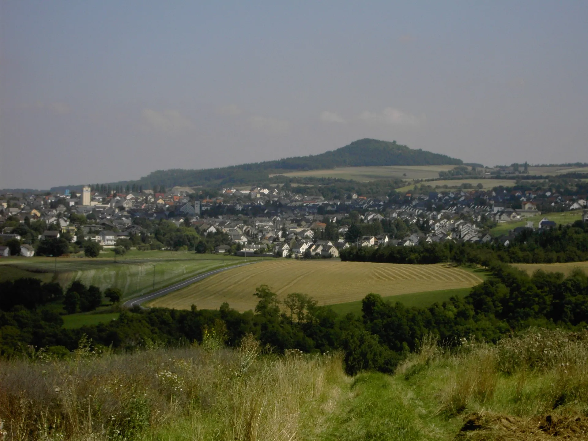
Wannenköpfe257 mPeakThe Wannenköpfe are a beautiful set of hills with a network of trails winding through the forests.
23 km
23 km
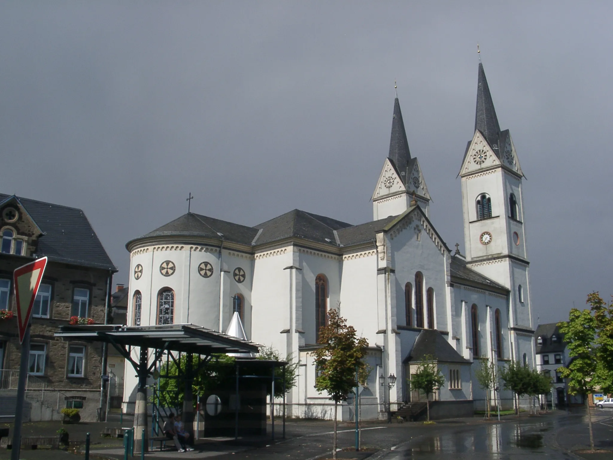
Schloß BassenheimCastleSchloß Bassenheim is a magnificent castle located in the heart of Bassenheim village.
39 km
39 km
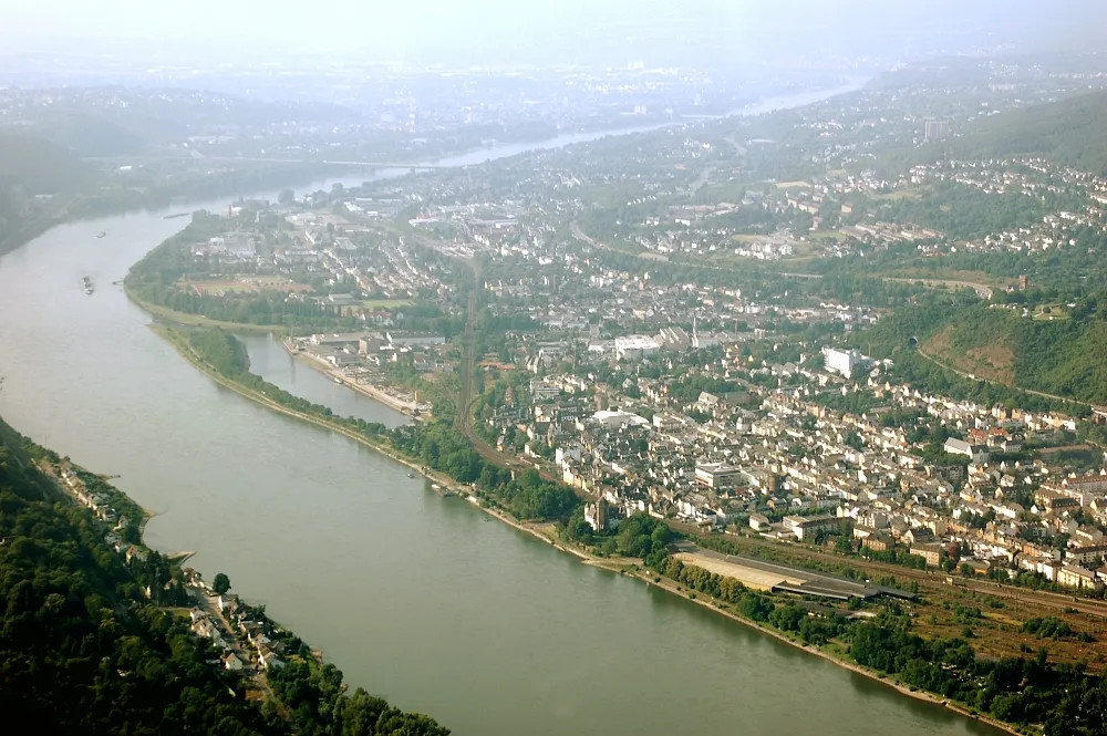
Deutsches EckViewpointThe Deutsches Eck is a spectacular spot where the Moselle and Rhine rivers meet.
47 km
47 km
Schloss MartinsburgCastleSchloss Martinsburg is a well-preserved medieval castle with panoramic views of the surrounding area.
60 km
60 km
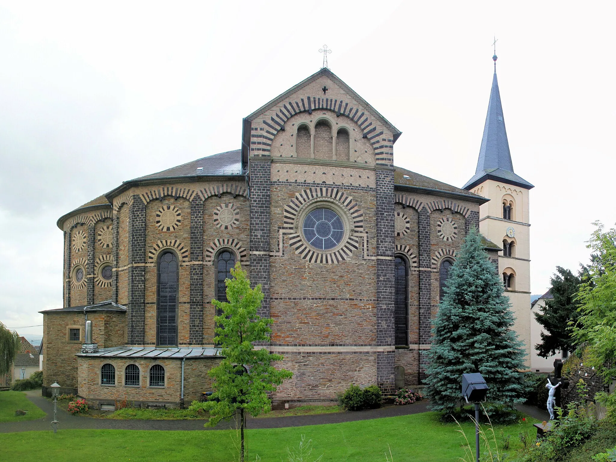
Friedenskirche (Ruine)AttractionThe Friedenskirche (Ruine) is a historical church ruin that tells the story of Mayen's past.
69 km
69 km
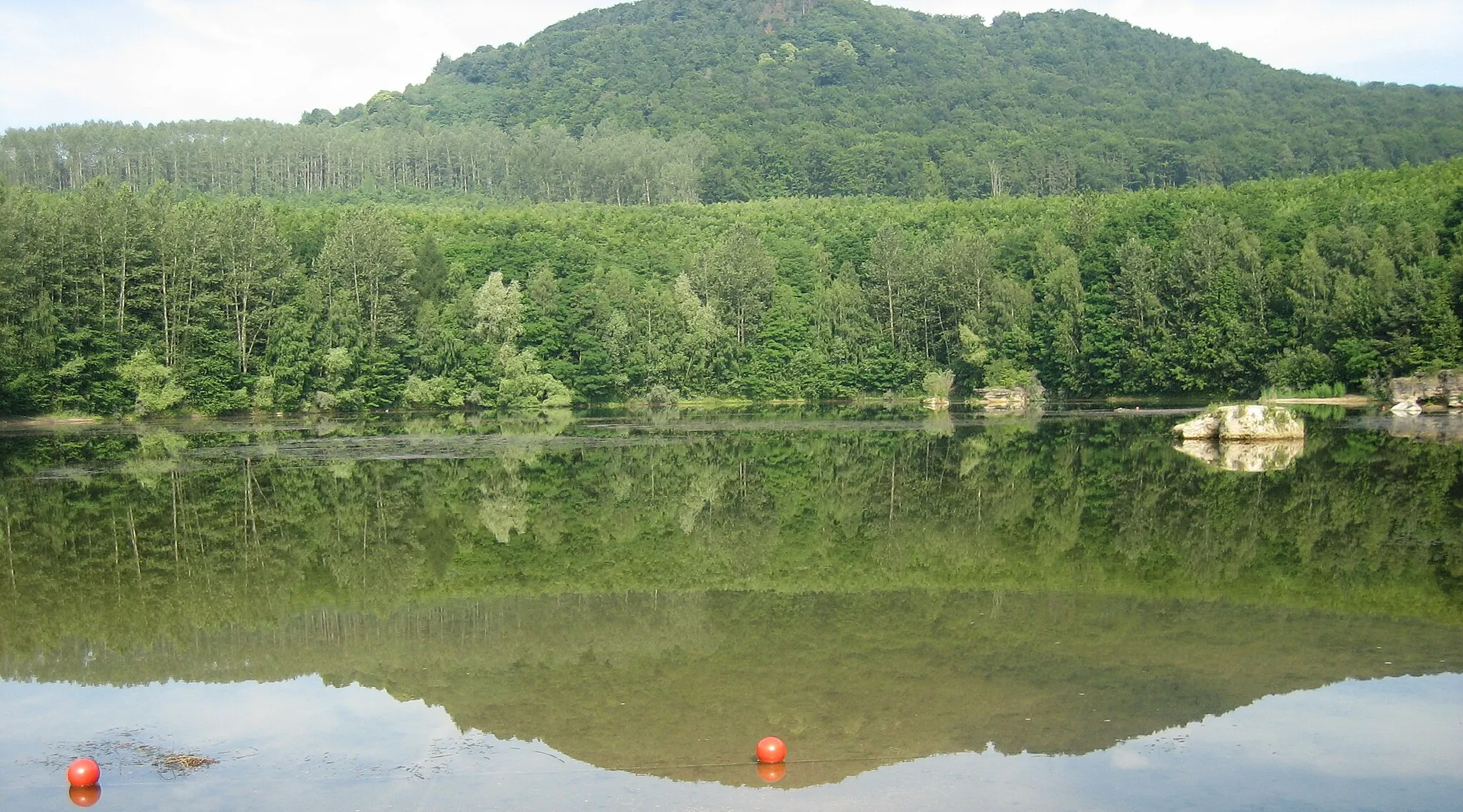
Geierskopf321 mPeakGeierskopf offers breathtaking panoramic views of the rolling hills and charming villages.
77 km
77 km
Alte MünzeAttractionThe Alte Münze is a fascinating historical site that used to produce coins during the medieval times.
84 km
84 km
RübenachSub-urbRübenach is an idyllic village with magnificent views of the countryside and a rich cultural heritage.
98 km
98 km
Plaidter Hümmerich259 mPeakPlaidter Hümmerich is a scenic viewpoint that offers stunning vistas of the surrounding forests and meadows.
113 km
113 km
BrückentorAttractionBrückentor is a charming small gate that acts as a gateway to the historic center of Mayen.
114 km
114 km
Finish: Mayen City centerMayen: Diverse cycling terrain and a famous climb near Mayen, Germany.
Cycling routes nearby: