Mendig to Ochtendung Cycling Route
A road cycling route starting from Mendig
Cycling through the picturesque landscapes from Mendig to Ochtendung
Map
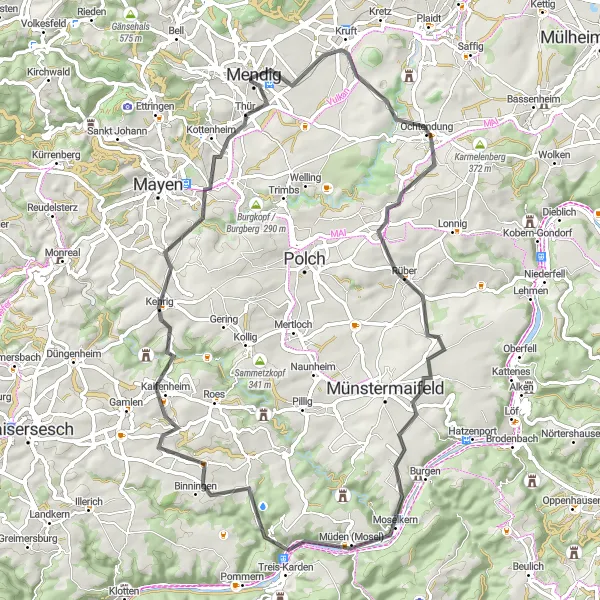
This 70-kilometer road cycling route from Mendig to Ochtendung takes cyclists through beautiful landscapes and charming towns. With an ascent of 1082 meters, it offers a moderate challenge for amateur cyclists. The route features several highlights, including the scenic viewpoints at Ochtendung and Sankt-Castor-Blick, the charming town of Treis-Karden, and the historical viewpoint at Kottenheim. Overall, this route provides a diverse and enjoyable cycling experience.
road
70 km
1082 m
Tough
Route profile
Highlights on the route
0 km
0 km
Start: Mendig City centerMendig: Thrilling climbs and cultural events in the Koblenz region.
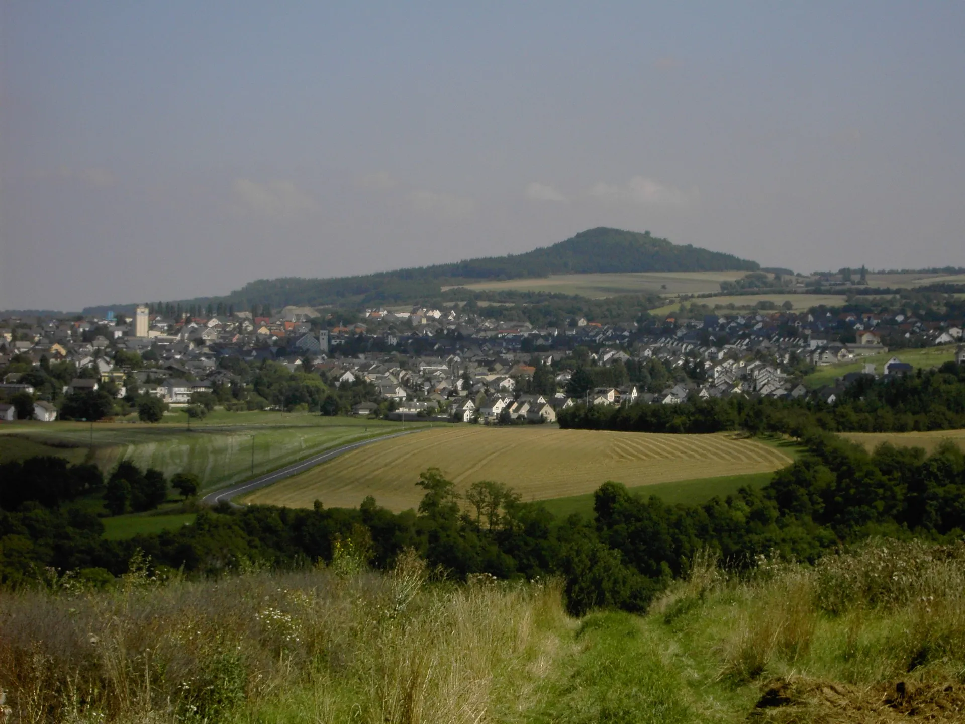
Mendig is a locality in Germany, located in the Koblenz region. From a cyclist's point of view, Mendig and its surroundings provide a diverse landscape for road and gravel cycling. Cyclists can explore the challenging climbs in the nearby Eifel Mountains, offering stunning panoramic views. Additionally, Mendig is famous for hosting the Rock am Ring music festival, attracting tourists from all over the world. Combining thrilling cycling routes and vibrant cultural events, Mendig is a unique destination for adventurous cyclists.11 km
11 km
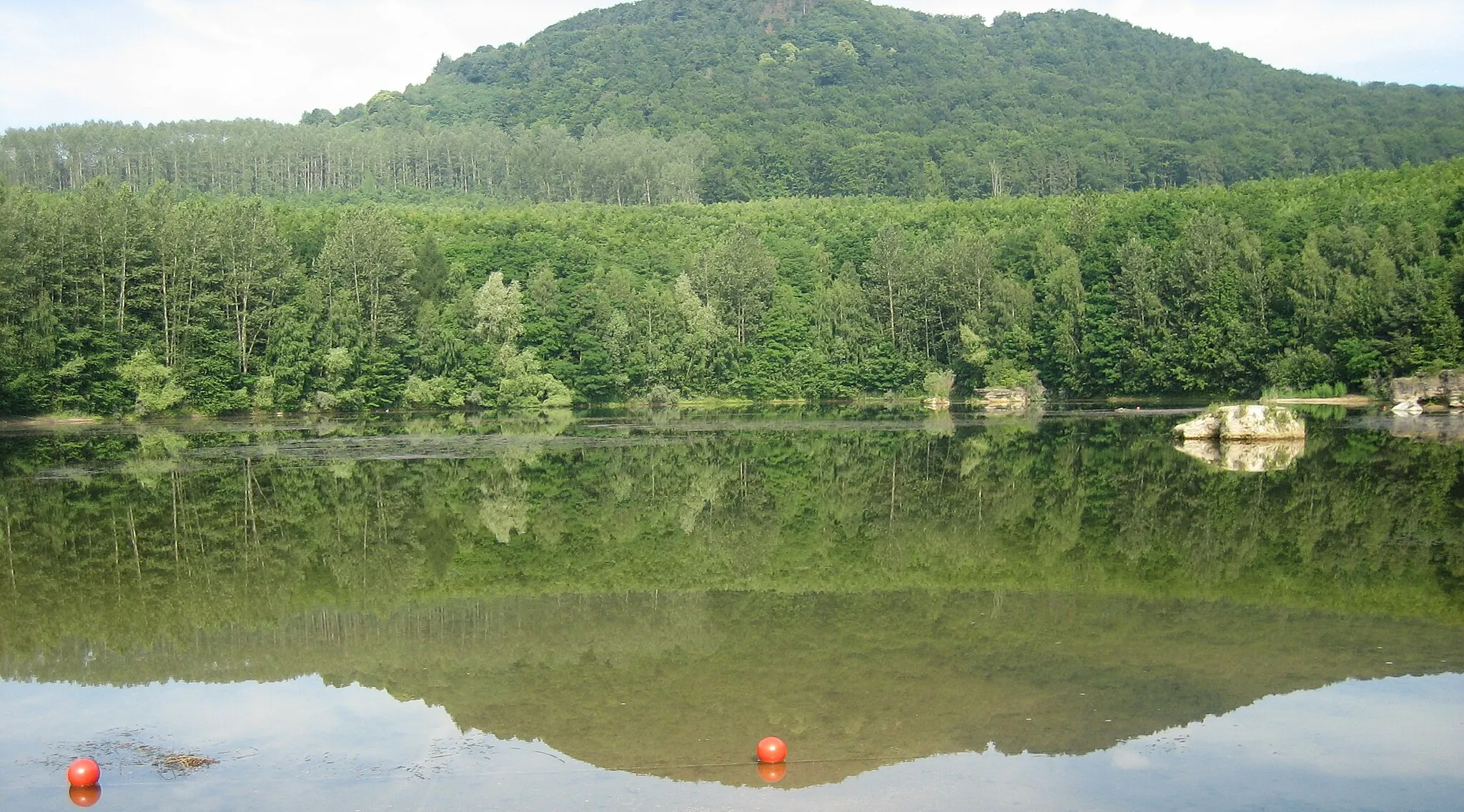
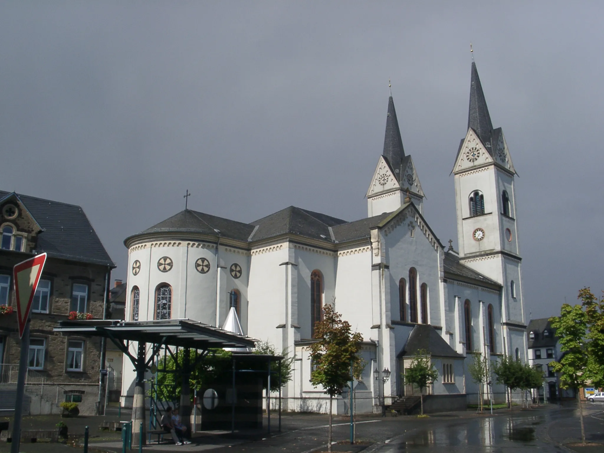
OchtendungVillageOchtendung is known for its beautiful landscape and makes the perfect stopping point for a picnic overlooking the valley.
19 km
19 km
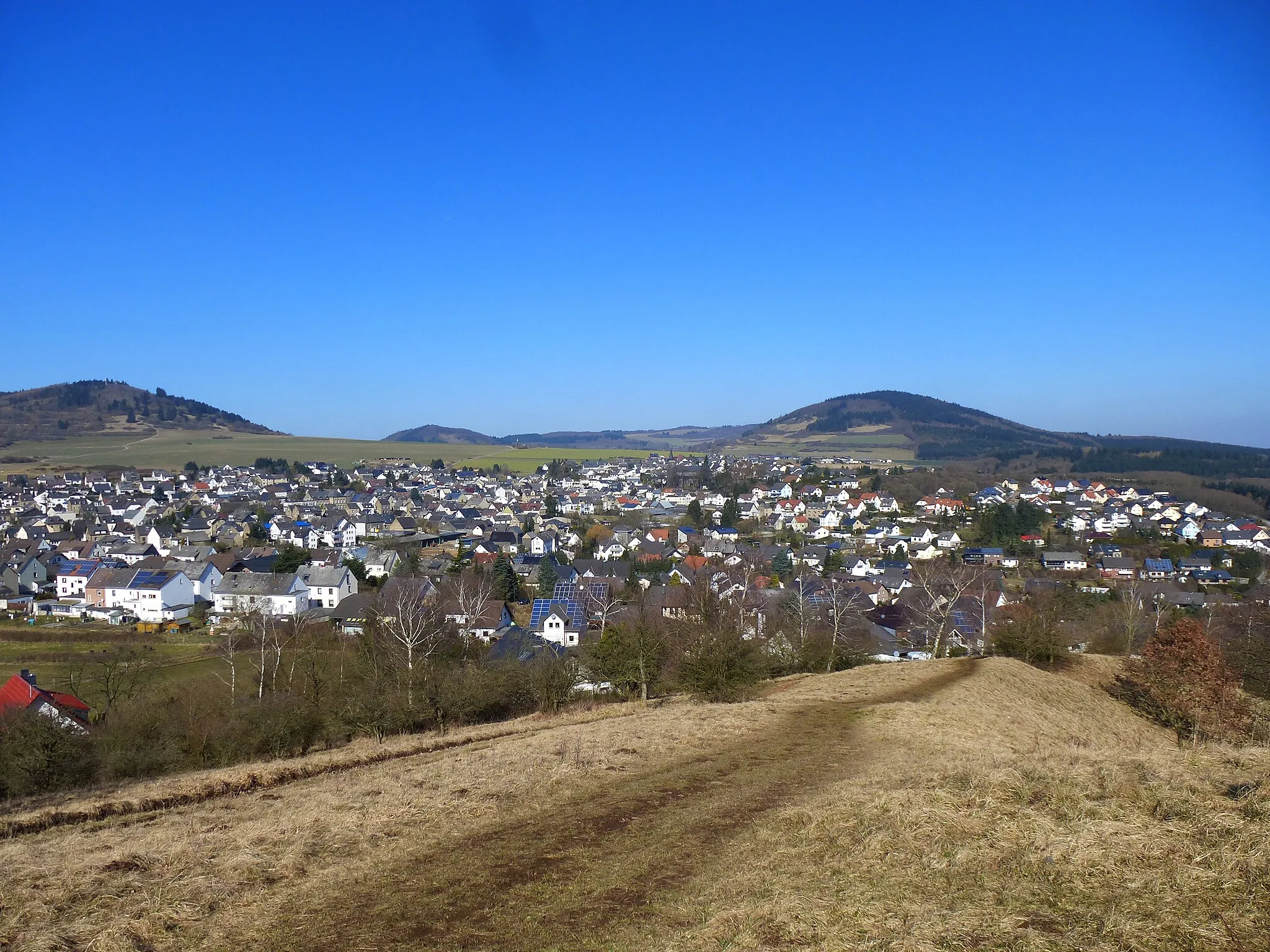
RüberVillageRüber is a charming town along the route, offering cyclists a chance to rest and explore its picturesque streets.
38 km
38 km
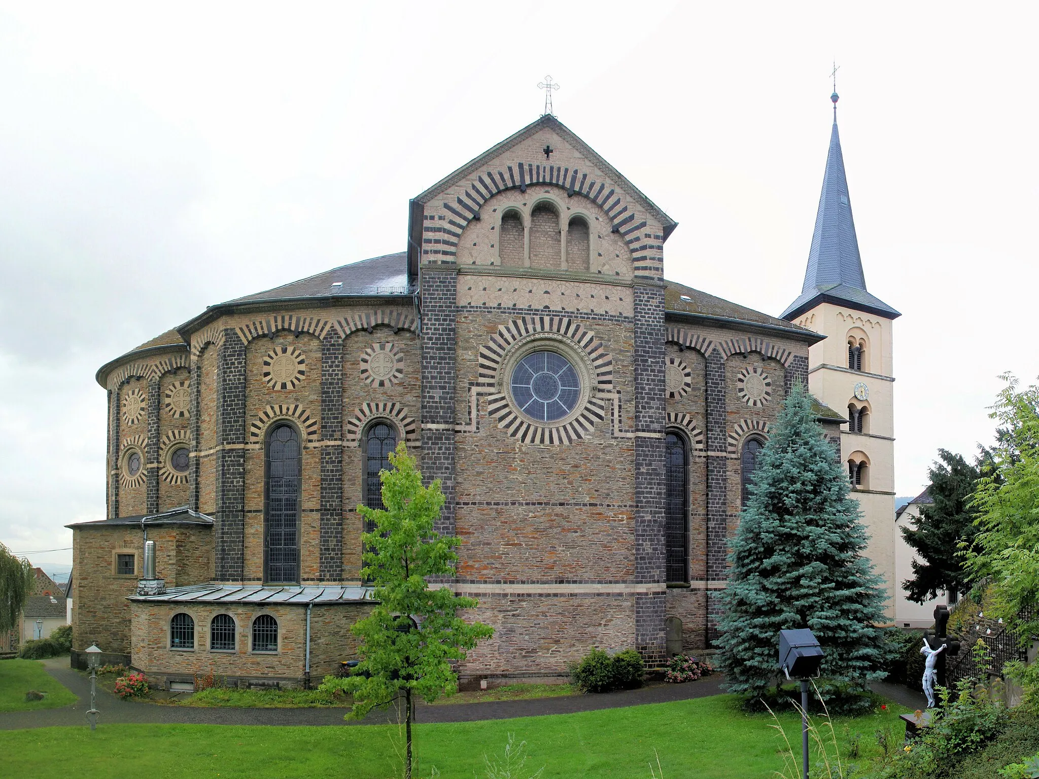
Treis-KardenVillageTreis-Karden is a historical town with stunning architecture and beautiful riverside views.
39 km
39 km
Sankt-Castor-BlickViewpointSankt-Castor-Blick offers a breathtaking panoramic view of the Rhine Valley, making it a must-visit highlight on the route.
49 km
49 km
BrachtendorfVillageBrachtendorf is a small village known for its traditional architecture and peaceful atmosphere.
52 km
52 km
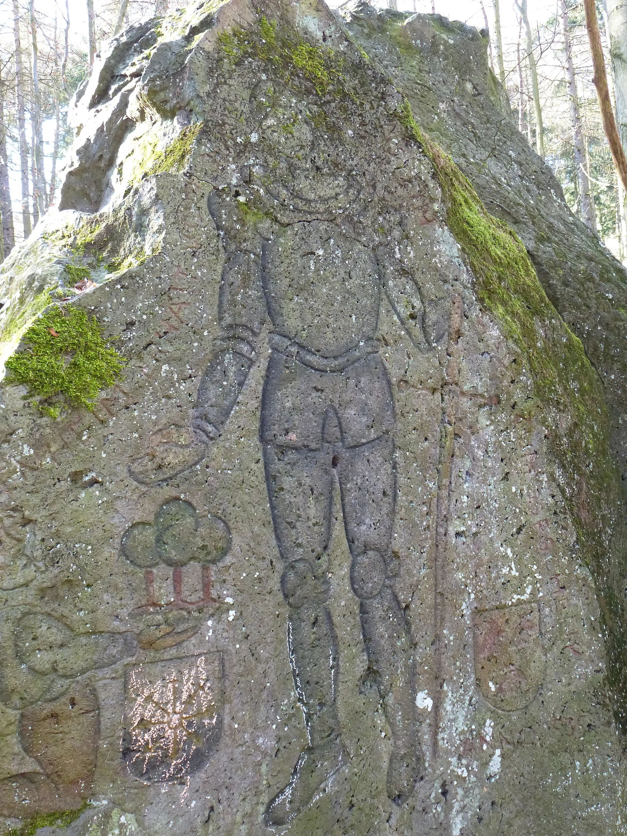
Hellenberg362 mPeakHellenberg is home to a historic castle ruins surrounded by lush greenery, providing a unique and scenic backdrop.
65 km
65 km
KottenheimVillageKottenheim features a historical viewpoint with information about the region's mining history, making it an interesting stop for history buffs.
70 km
70 km
Finish: Mendig City centerMendig: Thrilling climbs and cultural events in the Koblenz region.
Cycling routes nearby: