Merxheim to Limbacher Höhe Road Route
A road cycling route starting from Merxheim
A scenic road route offering the thrill of climbing Limbacher Höhe.
Map
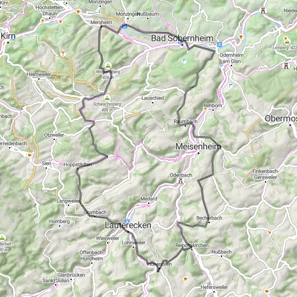
This road route starting near Merxheim takes you through beautiful landscapes and challenging terrain towards Limbacher Höhe. The highlight of this route is the climb to Limbacher Höhe, offering stunning panoramic views. With a moderate difficulty level and an exciting climb, this route is recommended for well-trained cyclists. Prepare yourself for a total ascent of 1,200 meters over a distance of 71 kilometers. The epicness rating for this route is 4.
road
71 km
1200 m
Tough
Route profile
Highlights on the route
0 km
0 km
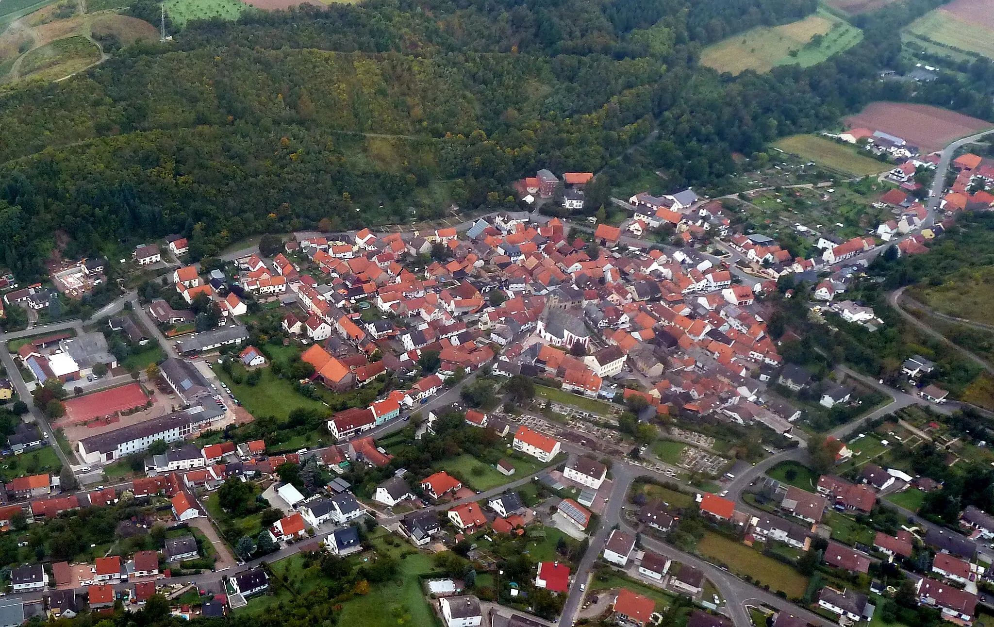
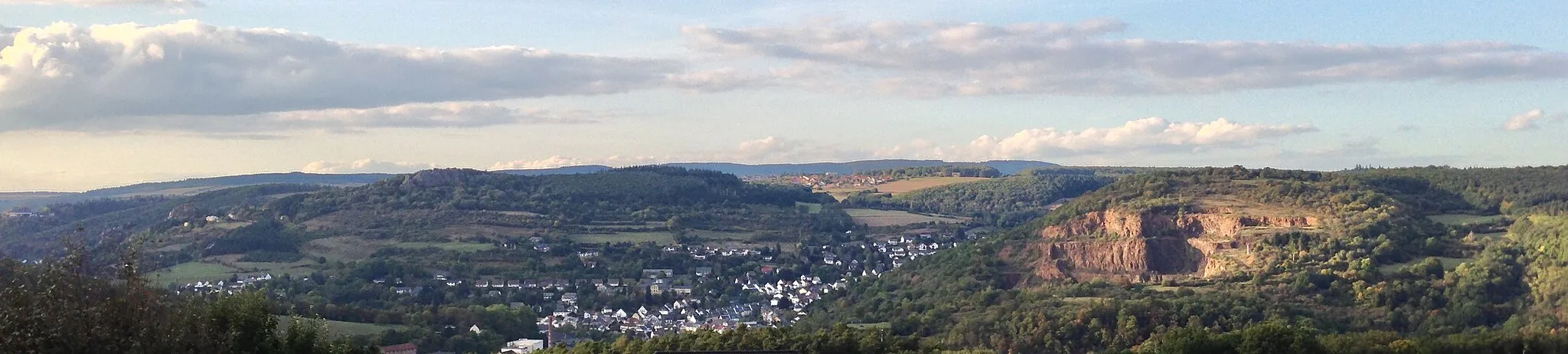
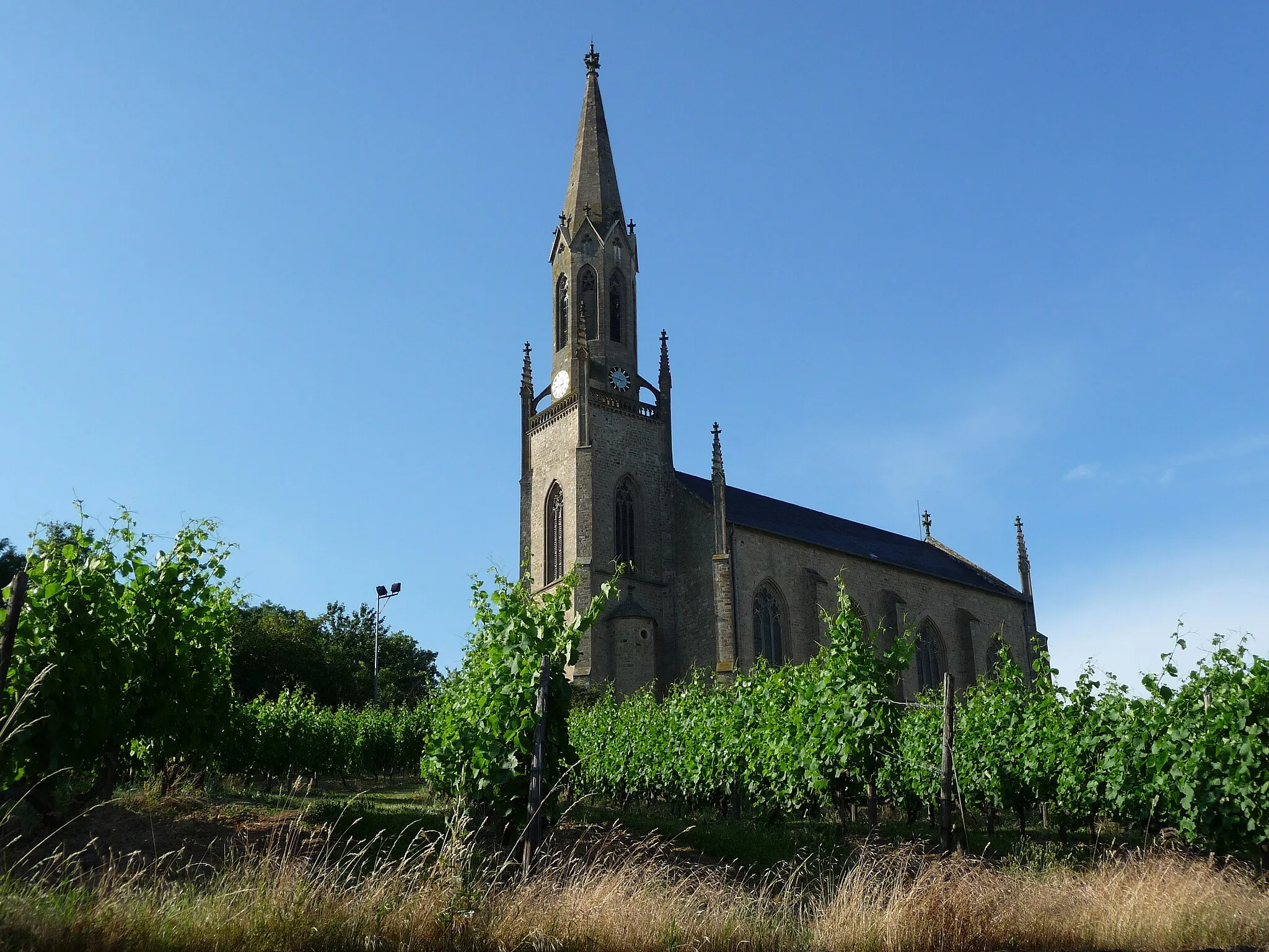
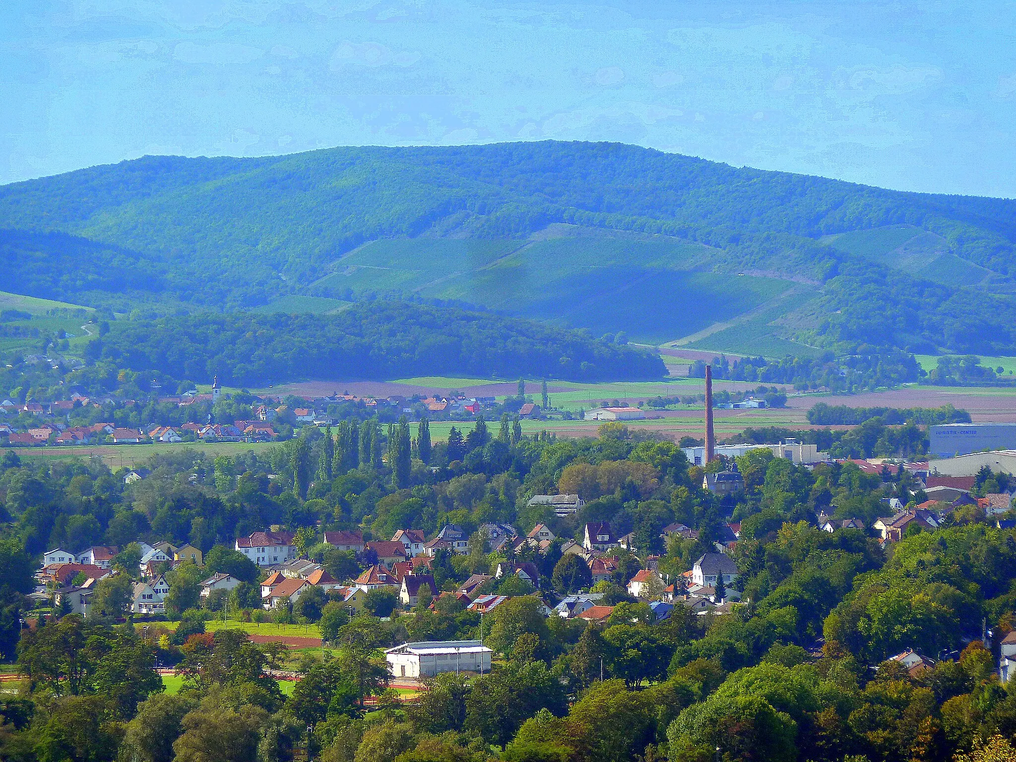
Start: Merxheim Village centerMerxheim: Discover the beauty of Merxheim, Germany, while cycling through vineyards and along the Rhine river.
Merxheim, situated in Koblenz, Germany, offers a mix of cycling opportunities for road and gravel cyclists. The town is surrounded by picturesque landscapes, including both hilly areas and flatter terrain. Cyclists can enjoy riding through vineyards, along the Rhine river, or exploring the nearby Moselle Valley. While there are no famous cycling spots or well-known climbs in the immediate vicinity, the region provides a peaceful and scenic setting for cyclists to enjoy.11 km
11 km
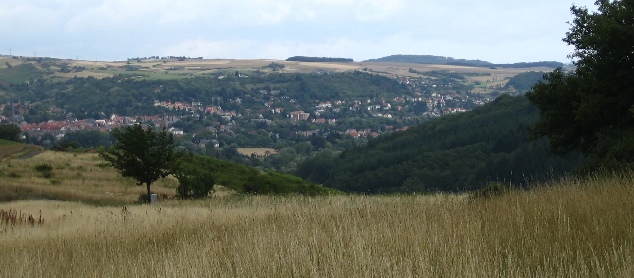
Neuberg270 mPeakNeuberg is a charming village with half-timbered houses and a traditional church. Explore the narrow streets and immerse yourself in the medieval atmosphere.
16 km
16 km
AbtweilerVillageAbtweiler is a scenic village with a tranquil atmosphere. Enjoy the peaceful surroundings and take a moment to relax.
36 km
36 km
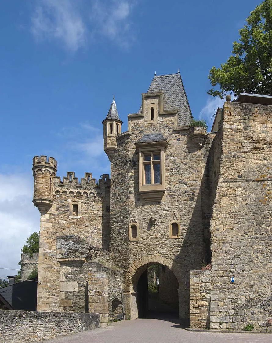
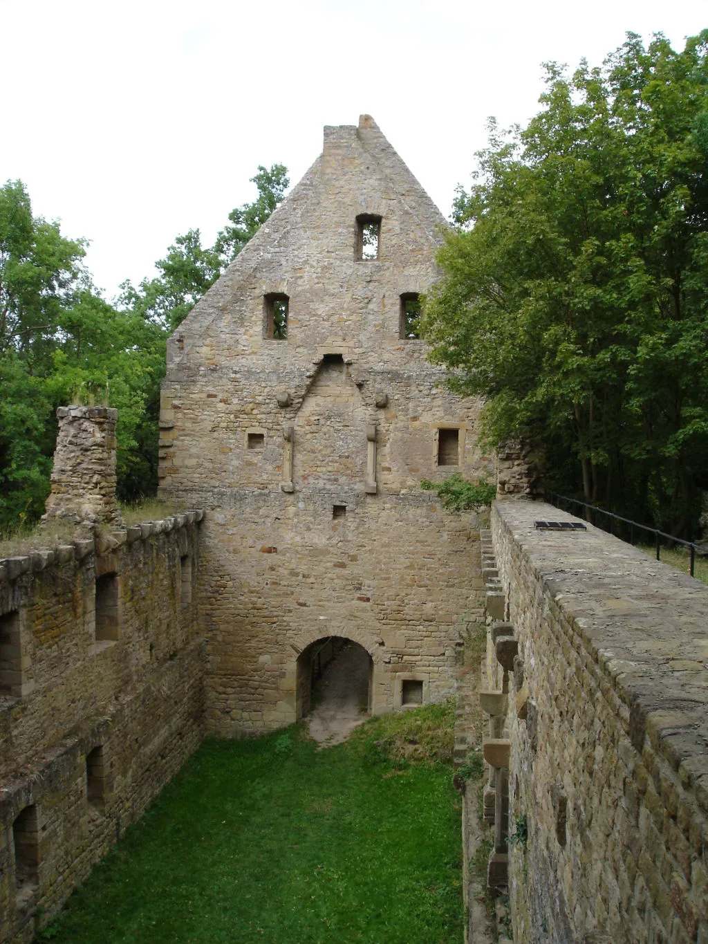
BergfriedViewpointBergfried is a hilltop village known for its historic castle ruins. Hike up to the castle and enjoy the panoramic views.
40 km
40 km
HohenöllenVillageHohenöllen is a picturesque village nestled in a forested area. Take a break and admire the natural beauty of the surroundings.
59 km
59 km
HundsbachVillageHundsbach is a charming village with traditional timber-framed houses and a peaceful ambiance. Explore the streets and enjoy the quaint atmosphere.
63 km
63 km
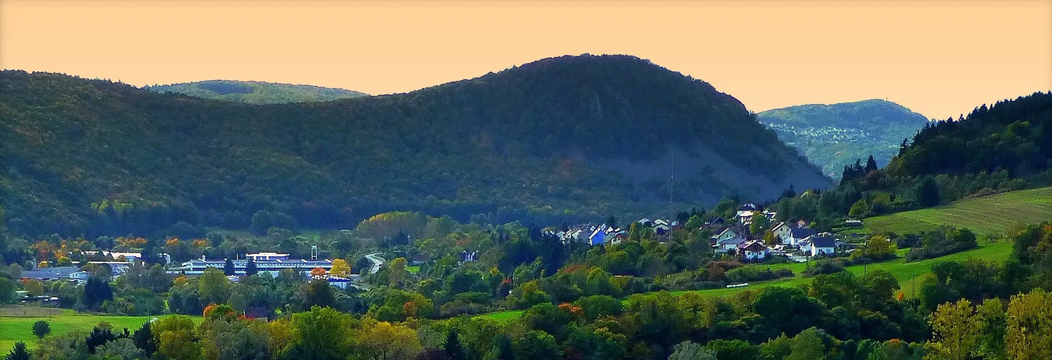
Limbacher Höhe453 mPeakLimbacher Höhe is a notable hill featuring a challenging climb and breathtaking views at the top. This peak is a well-known spot among cyclists.
71 km
71 km
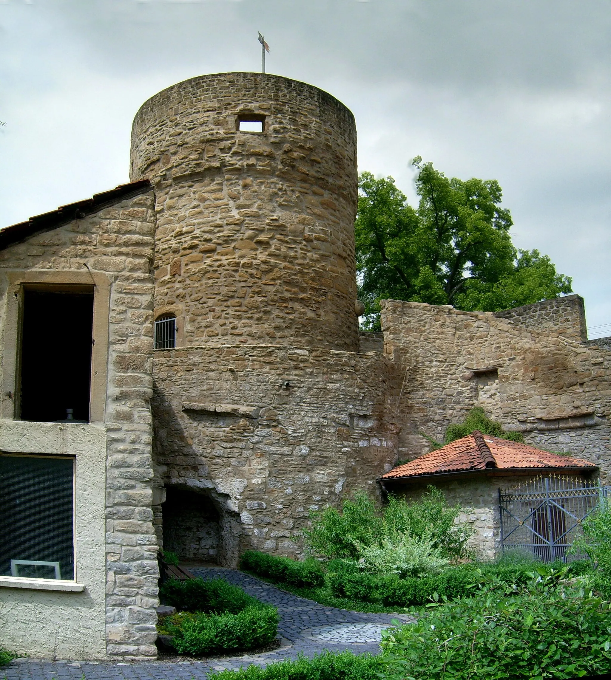
Heimberg278 mPeakHeimberg is a picturesque hilltop village with a historic castle ruins. Take a break here to enjoy the breathtaking panoramic views.
71 km
71 km
Finish: Merxheim Village centerMerxheim: Discover the beauty of Merxheim, Germany, while cycling through vineyards and along the Rhine river.
Cycling routes from Merxheim:
Cycling routes nearby: