Discover Serene Countryside
A road cycling route starting from Meudt
A serene route through idyllic landscapes
Map
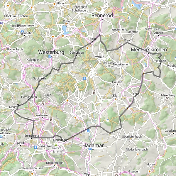
Embark on a 65km road cycling journey near Meudt that showcases the serene countryside. With an ascent of 960m, this moderately challenging route leads you through tranquil settings and charming villages. Enjoy the beauty of Guckheim, a peaceful village known for its idyllic landscapes. Pass by Bölgenstein, where you can take in breathtaking views from the ancient ruins. Mengerskirchen is a quaint village surrounded by a picturesque countryside, while Lahr captivates with its rustic charm. The route concludes in Meudt, a place deeply rooted in nature and history.
road
65 km
960 m
Tough
Route profile
Highlights on the route
0 km
0 km
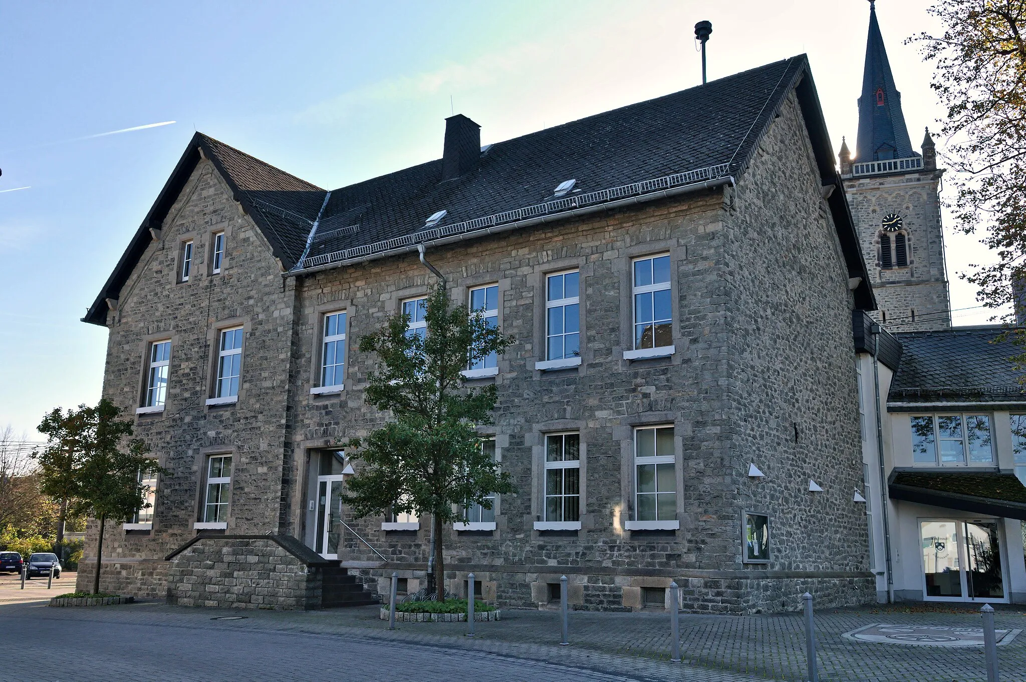
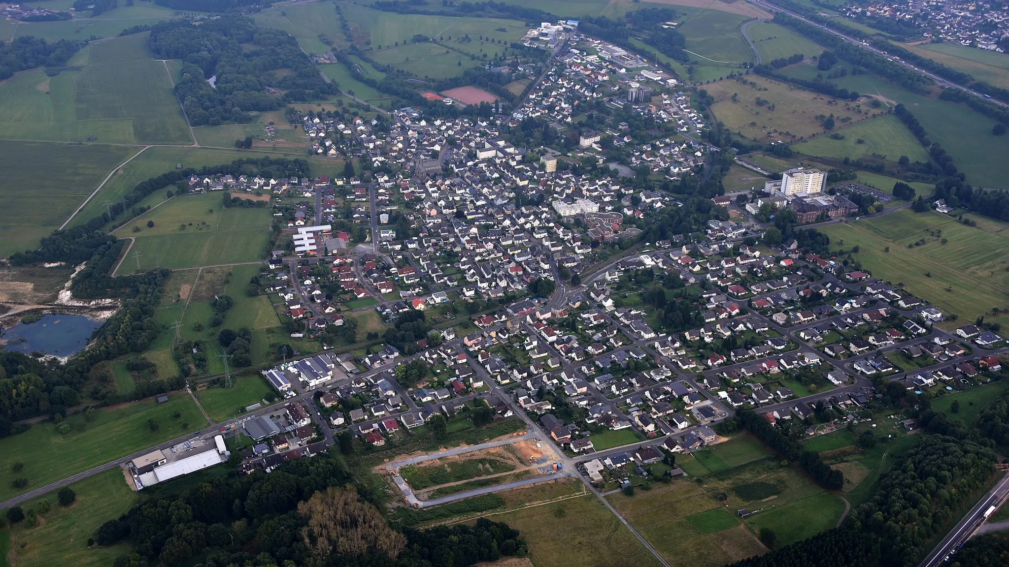
Start: Eisen Village centerMeudt: Cycling paradise amid beautiful countryside
Meudt is a locality in Germany, located in the region of Koblenz. From a cyclist's perspective, Meudt offers a variety of road and gravel cycling routes. The area is surrounded by beautiful countryside with rolling hills and scenic views. Cyclists can enjoy peaceful rides along quiet country roads, passing through charming villages and vineyards. The region also offers some challenging climbs for those looking for a more intense cycling experience. Meudt is a great destination for both road and gravel cyclists, with well-maintained routes and plenty of opportunities to explore the surrounding nature.5 km
5 km
GuckheimVillageGuckheim boasts serene landscapes, perfect for a peaceful retreat.
13 km
13 km
Bölgenstein460 mPeakBölgenstein is adorned with ancient ruins and provides stunning panoramic views.
18 km
18 km
Berg455 mPeakBerg is a small village surrounded by lush green meadows and quiet countryside.
20 km
20 km
HüblingenVillageHüblingen offers scenic views and is an ideal spot for a peaceful picnic.
25 km
25 km
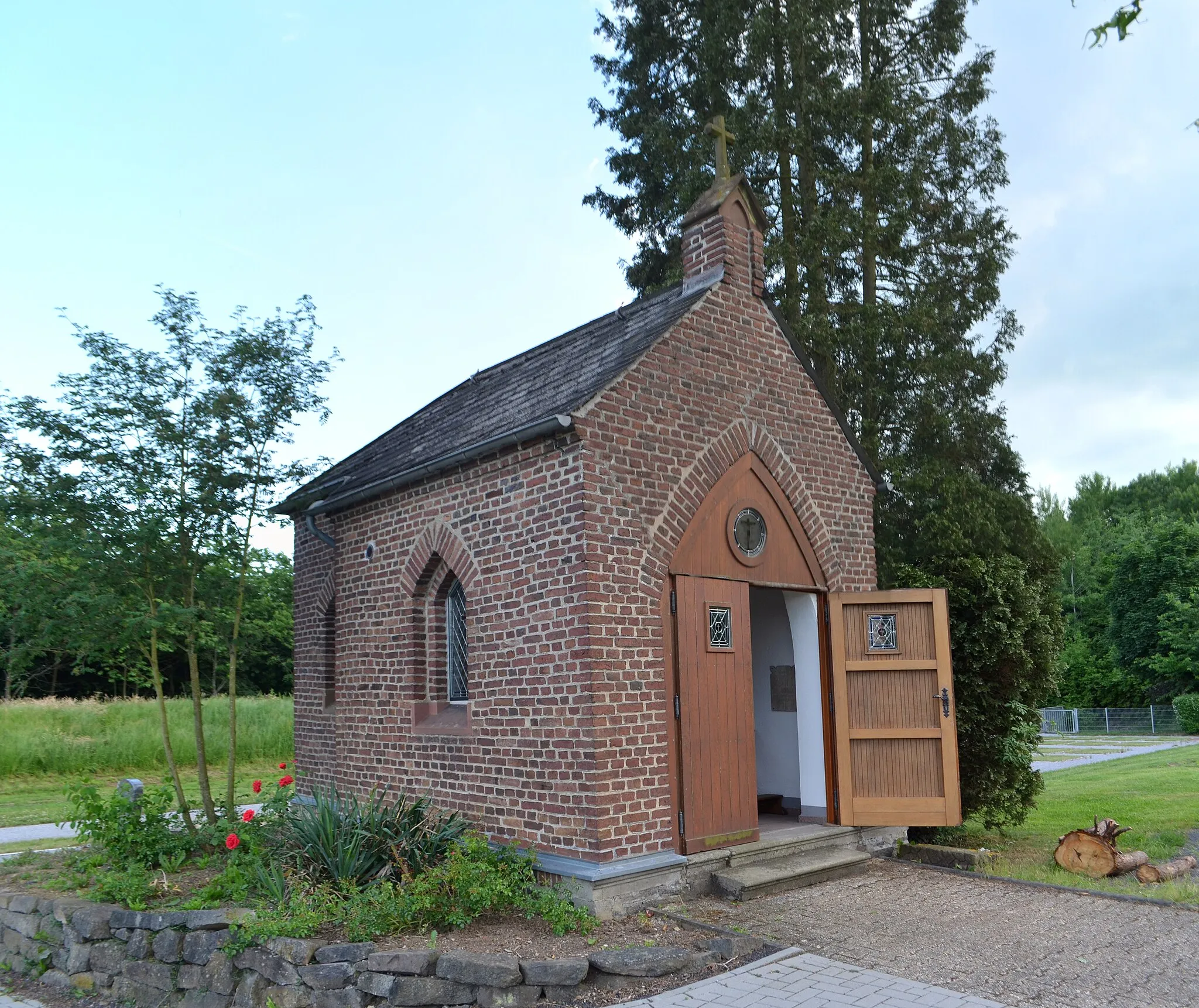
Baums KreuzViewpointBaums Kreuz is a tranquil and serene location, perfect for unwinding amidst nature.
26 km
26 km
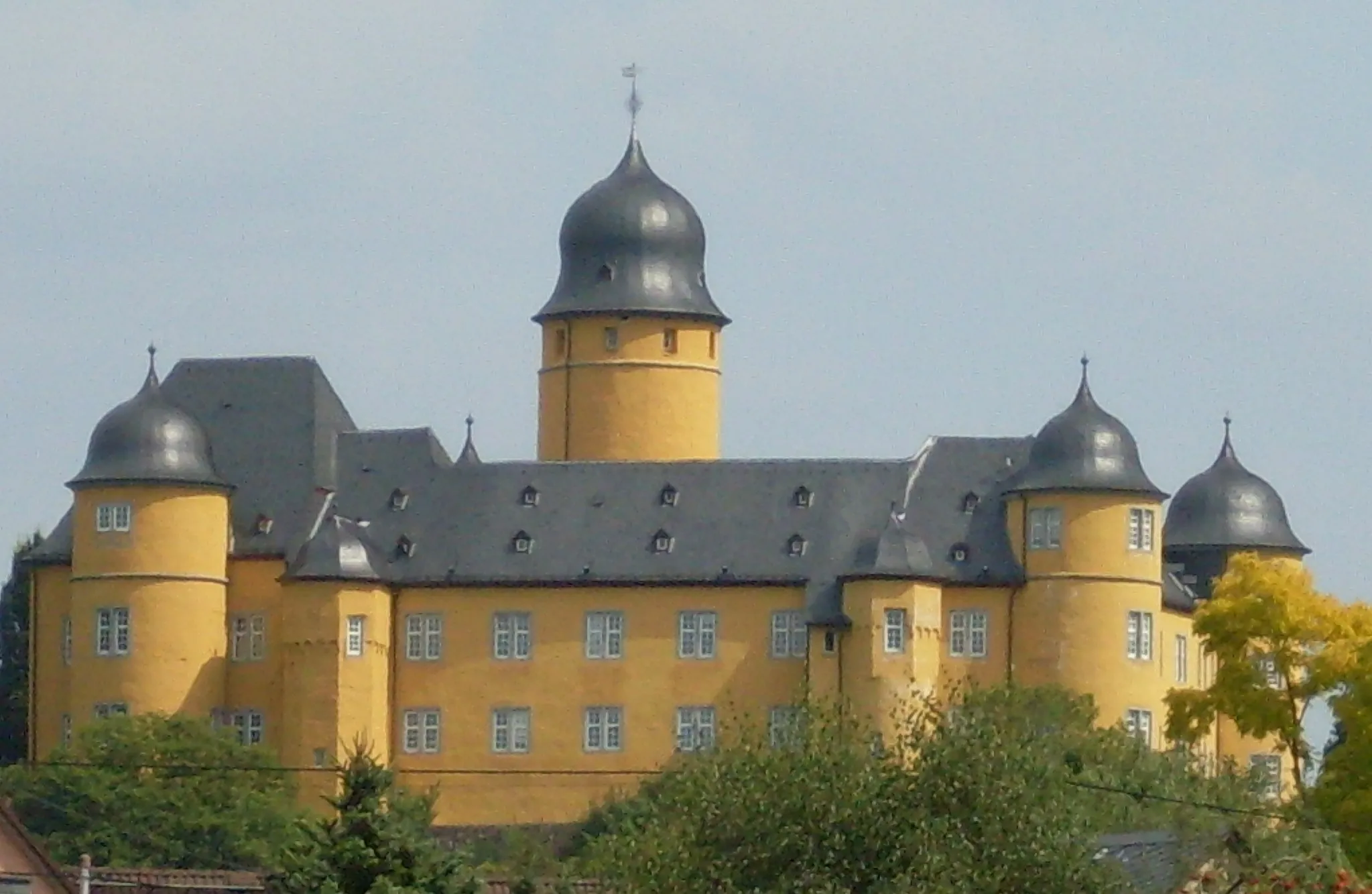
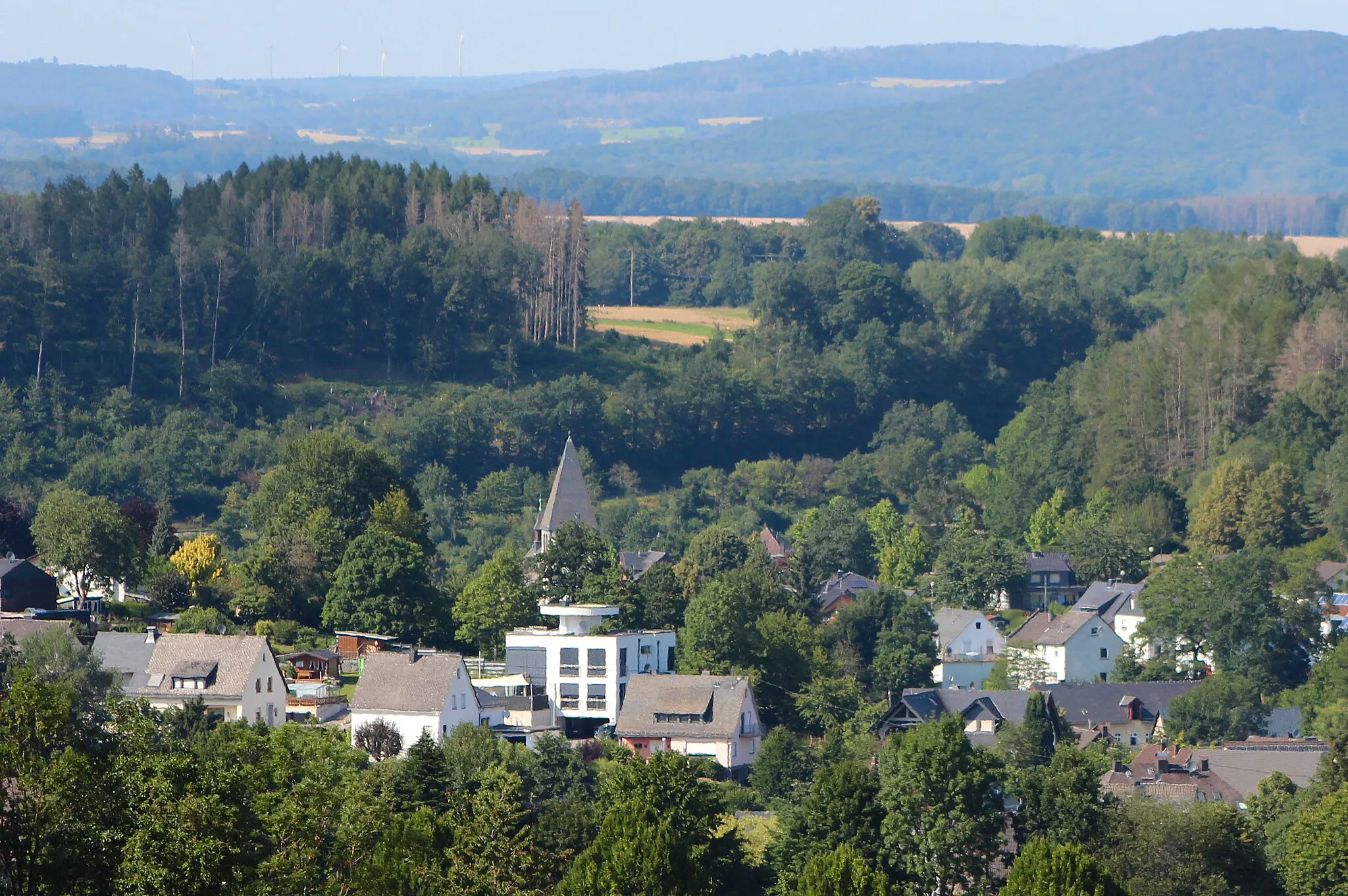
MengerskirchenTownMengerskirchen is a picturesque village nestled in the beautiful countryside.
38 km
38 km
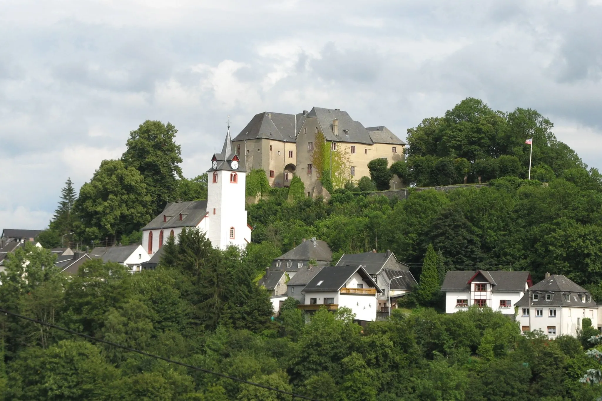
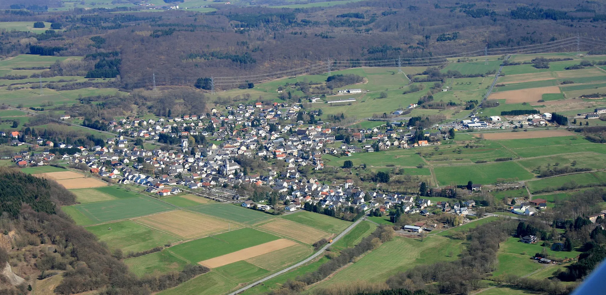
LahrVillageLahr is a rustic village with traditional architecture and a tranquil ambiance.
56 km
56 km
WerothVillageWeroth is a charming village with fascinating historical landmarks.
57 km
57 km
WasserbehälterViewpointThe Wasserbehälter is an interesting site offering insight into the region's water management.
63 km
63 km
MeudtVillageMeudt, the starting and ending point, is a town surrounded by beautiful nature and steeped in history.
65 km
65 km
Finish: Eisen Village centerMeudt: Cycling paradise amid beautiful countryside
Cycling routes from Meudt:
The Gravel Adventure The Road Challenge The Ultimate Gravel Challenge The Gravel Trail The Serpentine Adventure The Hilly Route Through Historic Villages Discover Serene Countryside Adventurous Gravel Escape The Ultimate Challenge Cycling Route from Meudt to Nentershausen Cycling Route from Meudt to Berzhahn
Cycling routes nearby: