The Countryside Escape
A road cycling route starting from Miehlen
Escape the city and immerse yourself in the serene countryside during this scenic 107km road cycling adventure.
Map
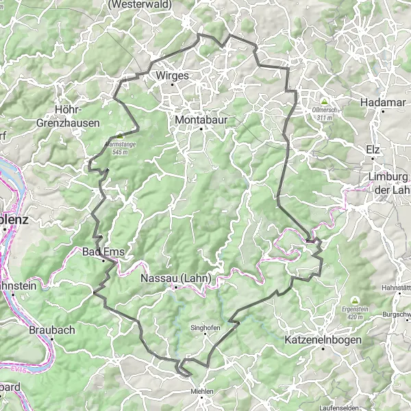
Leave the hustle and bustle of Koblenz behind and embark on this breathtaking 107km road cycling route through the tranquil countryside. With a challenging ascent of 1944m, this ride is perfect for cyclists looking for a comprehensive workout. Starting from Miehlen, the route takes you through Eitelborn and Ransbach-Baumbach, offering stunning views along the way. Make sure to stop at Balduinstein for a break and admire the beauty of the area. Don't miss the picturesque Seelskopf, where you can enjoy panoramic views of the rolling hills. Finish your adventure at the iconic Klippe Marienfels, known for its awe-inspiring beauty.
road
107 km
1944 m
Tough
Route profile
Highlights on the route
0 km
0 km
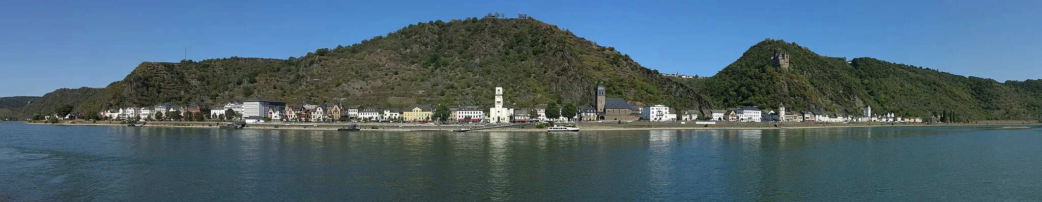
Start: Marienfels Village centerMiehlen: Cycling Paradise in Koblenz, Germany
Miehlen in Koblenz, Germany is a cyclist's dream destination. The surrounding area offers a diverse range of terrain, from flat river paths to challenging mountain ascents. Cyclists can take on the iconic Lorelei climb, which rewards them with breathtaking views of the Rhine Valley. Miehlen's cycling-friendly infrastructure and rich cultural heritage make it an exciting and fulfilling location for road and gravel cycling.0 km
0 km
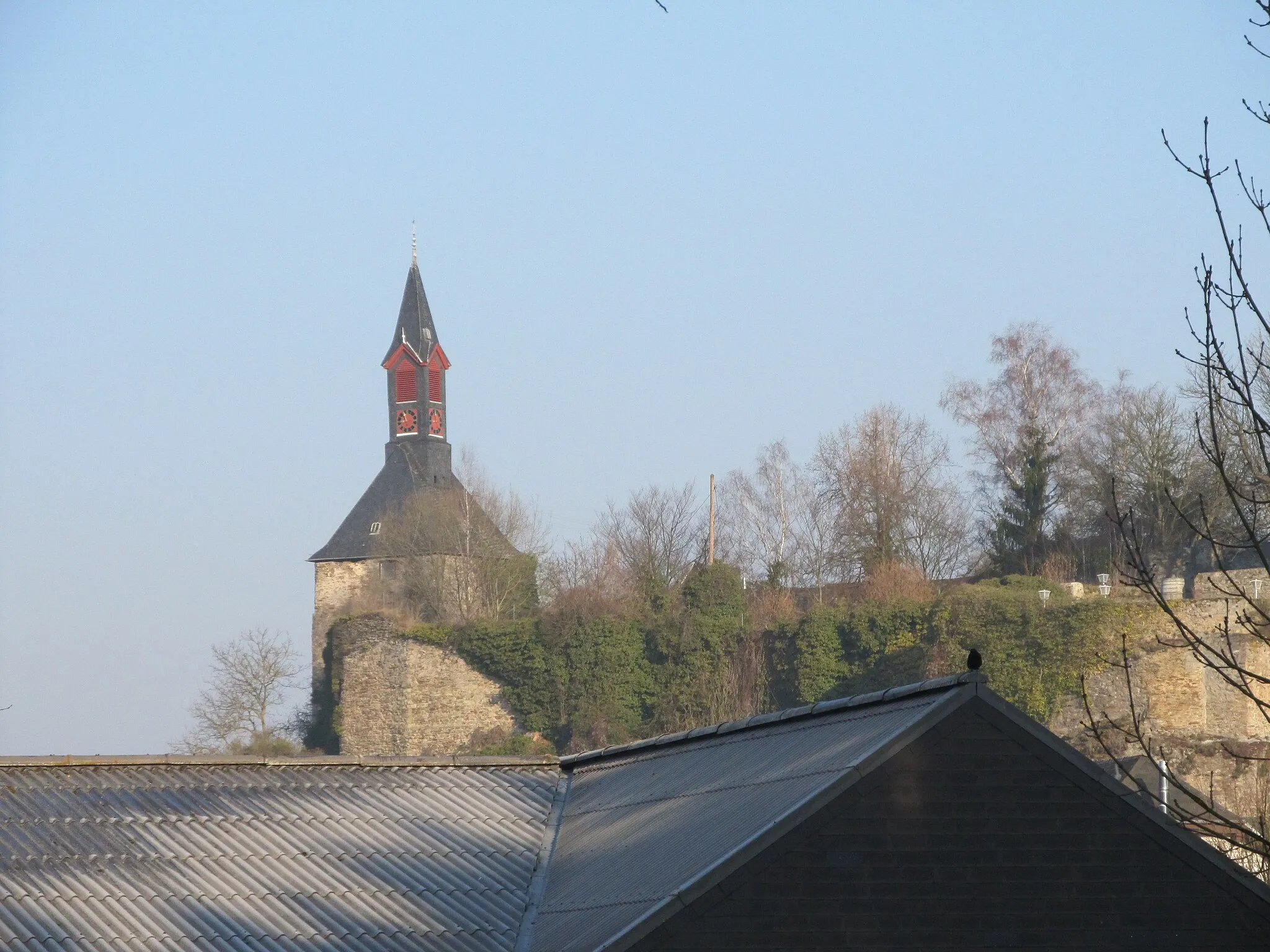
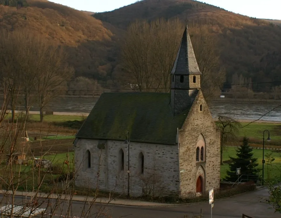
MarienfelsVillagePass by the ruins of Marienfels, a historical site with a fascinating past.
16 km
16 km
MalbergturmViewpointClimb the Malbergturm and enjoy breathtaking views of the surrounding countryside.
25 km
25 km
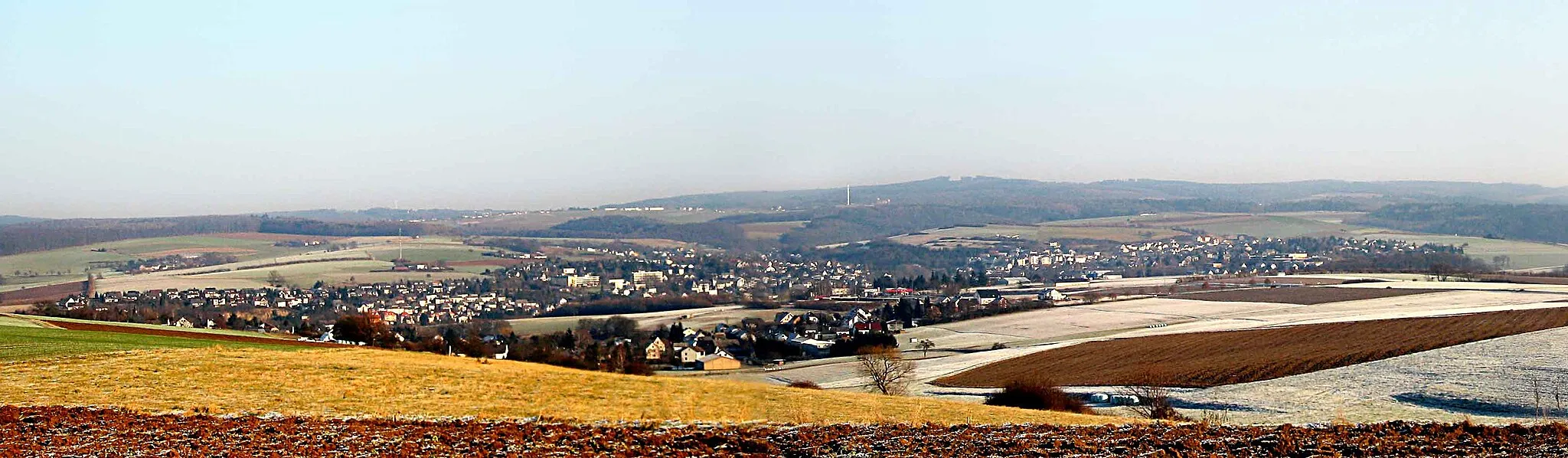
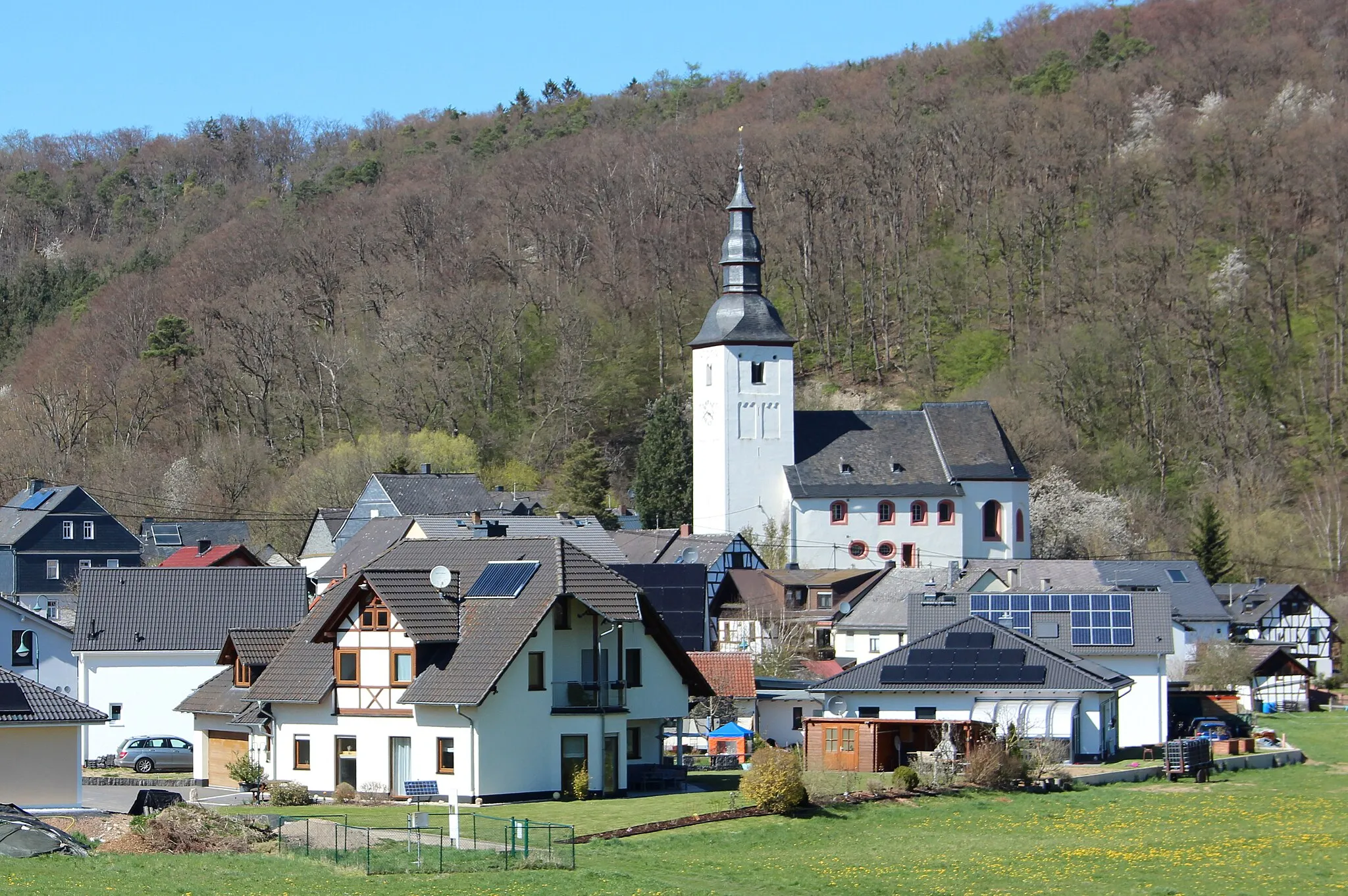
EitelbornVillageDiscover Eitelborn, a charming village with beautiful traditional architecture.
35 km
35 km
Alarmstange545 mPeakAdmire the Alarmstange, a unique landmark offering panoramic views of the region.
42 km
42 km
Ransbach-BaumbachTownExplore Ransbach-Baumbach, a historic town famous for its traditional pottery industry.
62 km
62 km
BerodVillageMake a quick stop at Berod, a small village known for its peaceful atmosphere.
65 km
65 km
WasserbehälterViewpointTake a moment to enjoy the scenic beauty of the Wasserbehälter viewpoint.
77 km
77 km
Seelskopf261 mPeakVisit Seelskopf, a hill offering panoramic views of the picturesque countryside.
82 km
82 km
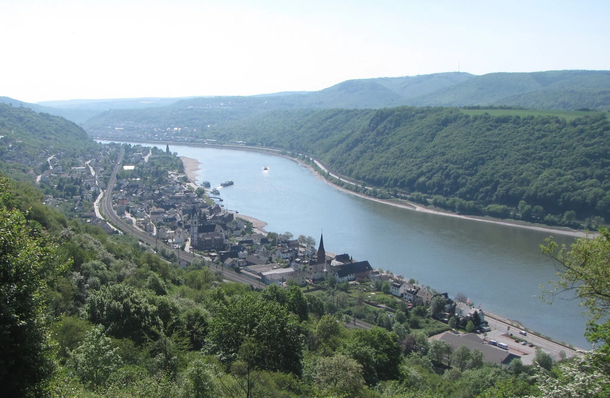
BalduinsteinVillageDon't miss the enchanting village of Balduinstein and its idyllic surroundings.
91 km
91 km
BrembergVillageMarvel at the natural beauty of Bremberg, a peaceful village in the countryside.
93 km
93 km
Grauer Kopf385 mPeakExperience the stunning views from Grauer Kopf, a hill with panoramic vistas.
103 km
103 km
HunzelVillageBe awed by the majestic beauty of Hunzel, a renowned natural landmark.
107 km
107 km
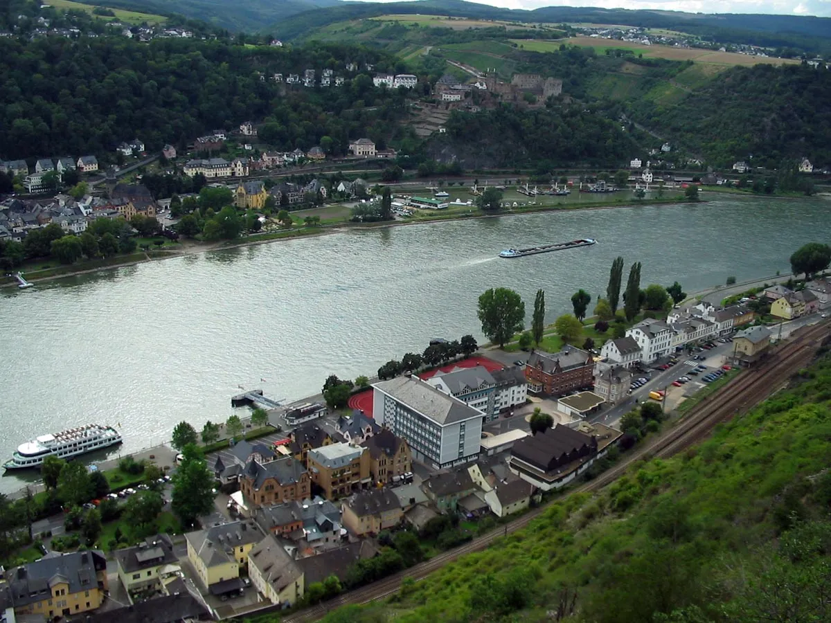
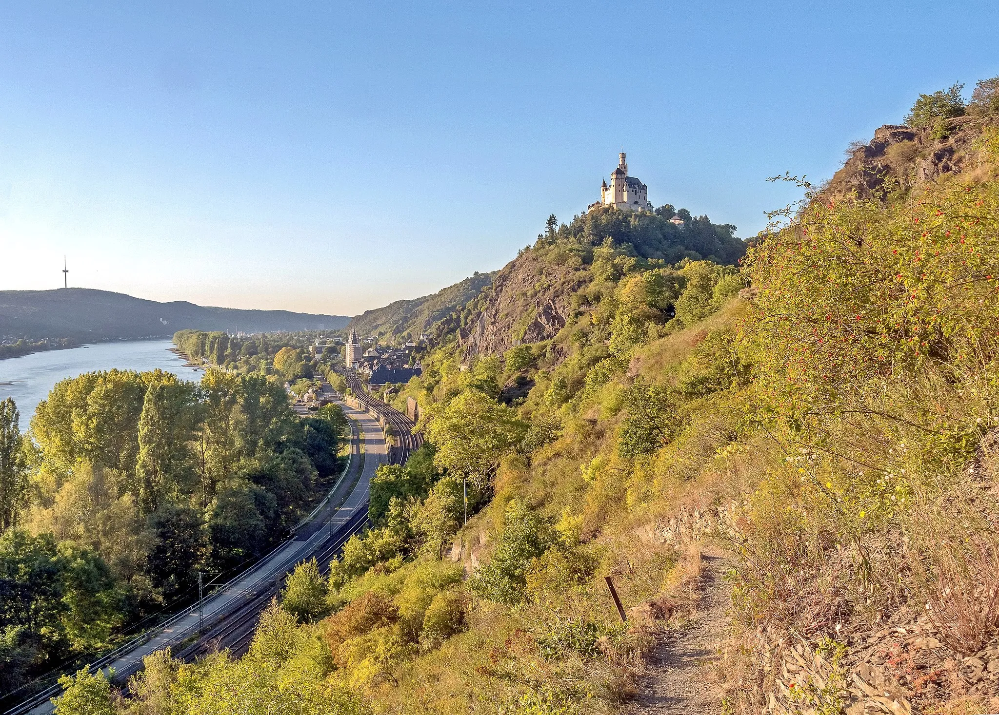
Klippe MarienfelsViewpointFinish your ride at Klippe Marienfels, a legendary spot with breathtaking views over the Rhine River.
107 km
107 km
Finish: Marienfels Village centerMiehlen: Cycling Paradise in Koblenz, Germany
Cycling routes from Miehlen:
The Gravel Adventure through Miehlen and its Surroundings Road Cycling Spectacle near Miehlen and Beyond The Gravel Escape through Miehlen's Nature Wonders Gravel Tour through Bettendorf, Horst, and Burgschwalbach The Scenic Road Cycling Exploration near Miehlen Miehlen Adventure Lahn Valley Adventure Haide Highlights Mudershausen Magic Lahn Valley Challenge The Gravel Adventure The Gravel Hills Tour The Countryside Escape The Ultimate Cycling Challenge The Rural Gravel Escape Moselle Valley Gravel Adventure
Cycling routes nearby: