The Road to Adventure
A road cycling route starting from Muenstermaifeld
Experience the thrill of road cycling through scenic landscapes near Münstermaifeld
Map
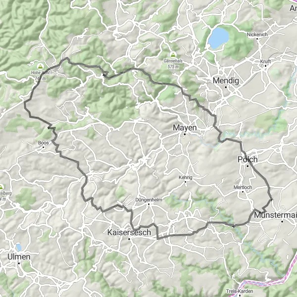
This road cycling route offers an exhilarating journey through picturesque landscapes near Münstermaifeld. With an ascent of 1608 meters and a distance of 85 kilometers, this route is perfect for road cycling enthusiasts seeking a challenging adventure. Along the way, you'll encounter stunning viewpoints, charming villages, and notable landmarks.
road
85 km
1608 m
Tough
Route profile
Highlights on the route
0 km
0 km
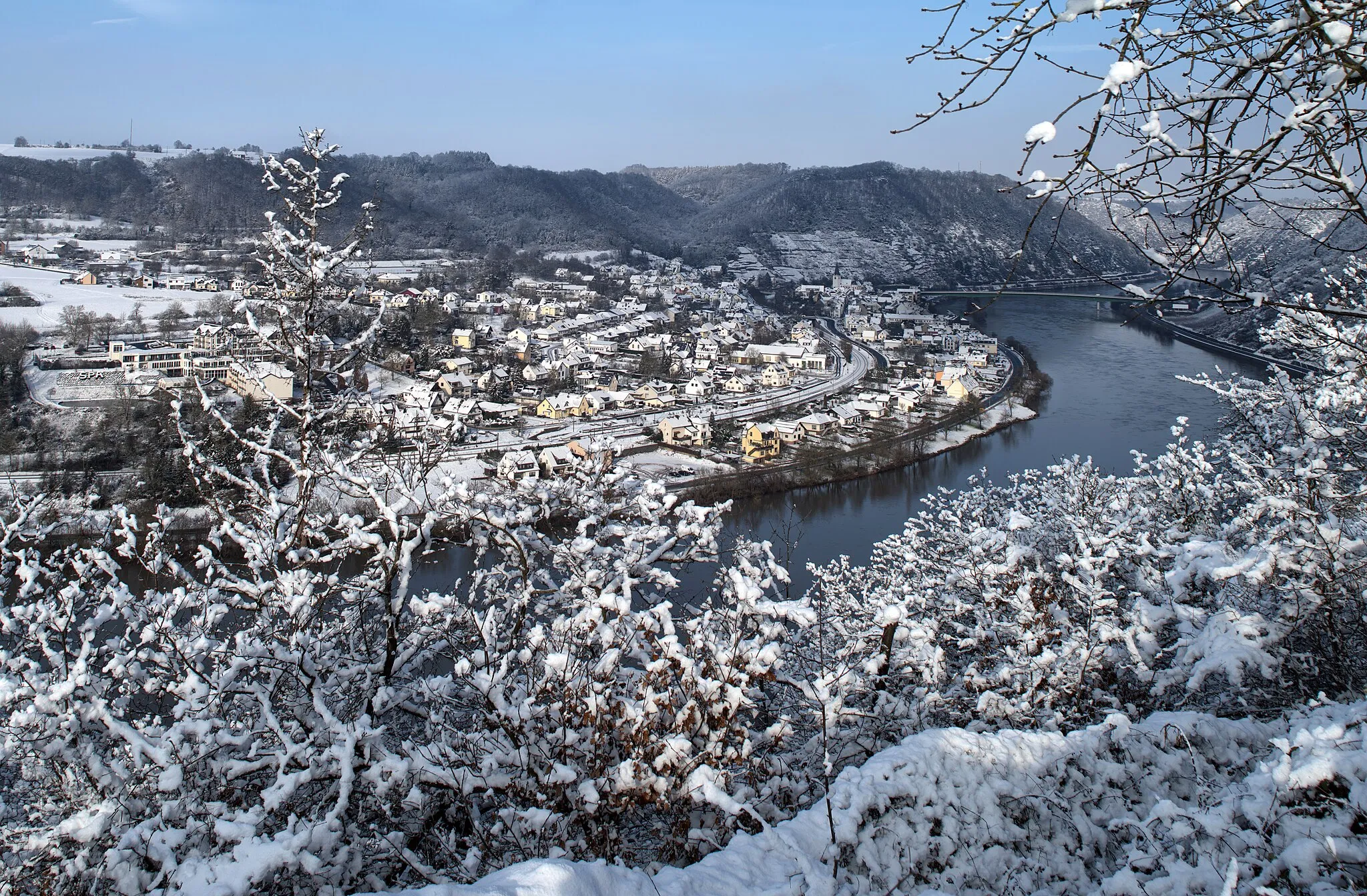
Start: Gierschnach Village centerMünstermaifeld: Historical Cycling Haven in Koblenz, Germany
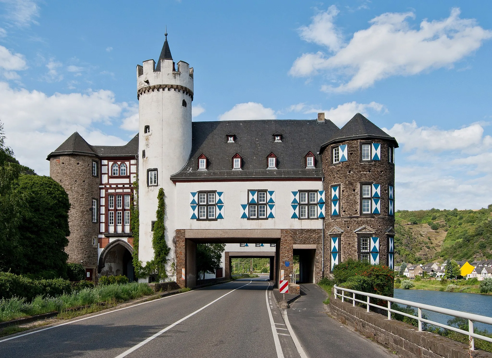
Münstermaifeld, located in Koblenz, Germany, offers a wonderful cycling experience with its diverse landscapes and historical attractions. This locality is surrounded by stunning countryside, rolling hills, and charming villages. Road and gravel cyclists can challenge themselves on the nearby famous cycling spots such as Moselle Cycle Path and Malberg Loop, which offer scenic routes and impressive views. The historical sites in Münstermaifeld, including castles and fortresses, provide an additional charm to the cycling experience. With its rich history and diverse cycling routes, Münstermaifeld is a fascinating destination for cyclists.6 km
6 km
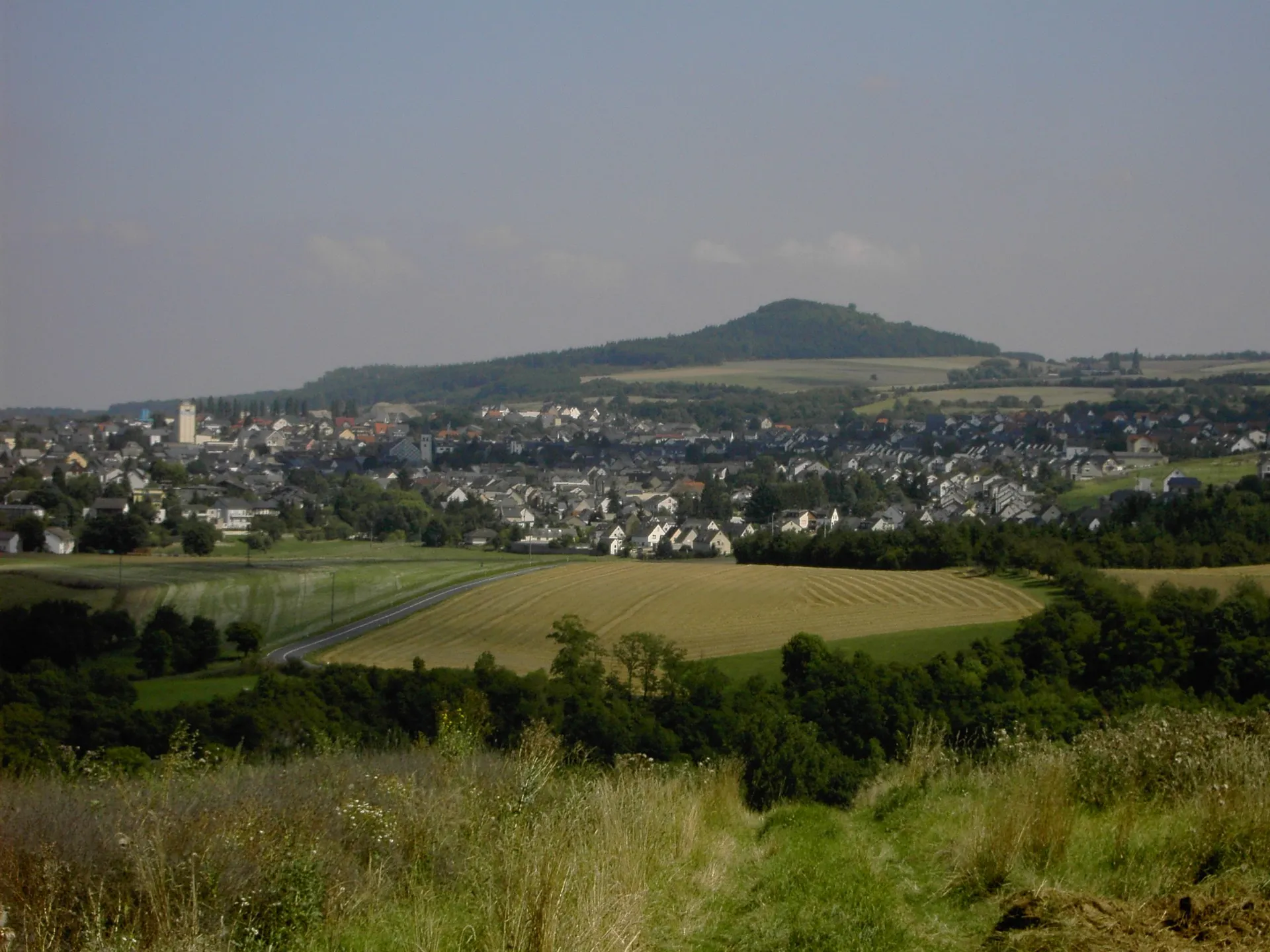
BergfriedViewpointAt Bergfried, enjoy panoramic views of the rolling hills and vineyards that characterize the region.
11 km
11 km
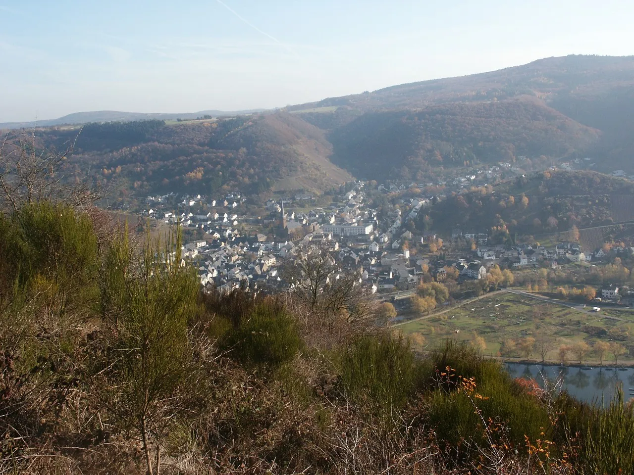
BrachtendorfVillagePass by Brachtendorf, a small village known for its beautiful half-timbered houses and peaceful atmosphere.
19 km
19 km
HuppeViewpointClimb up the Huppe and be rewarded with expansive views of the picturesque landscapes surrounding Münstermaifeld.
25 km
25 km
HaurothVillageCycle through Hauroth, a tranquil village known for its scenic beauty and traditional architecture.
33 km
33 km
DitscheidVillageDitscheid offers a peaceful stop along the route, where you can take a break and enjoy the countryside views.
49 km
49 km
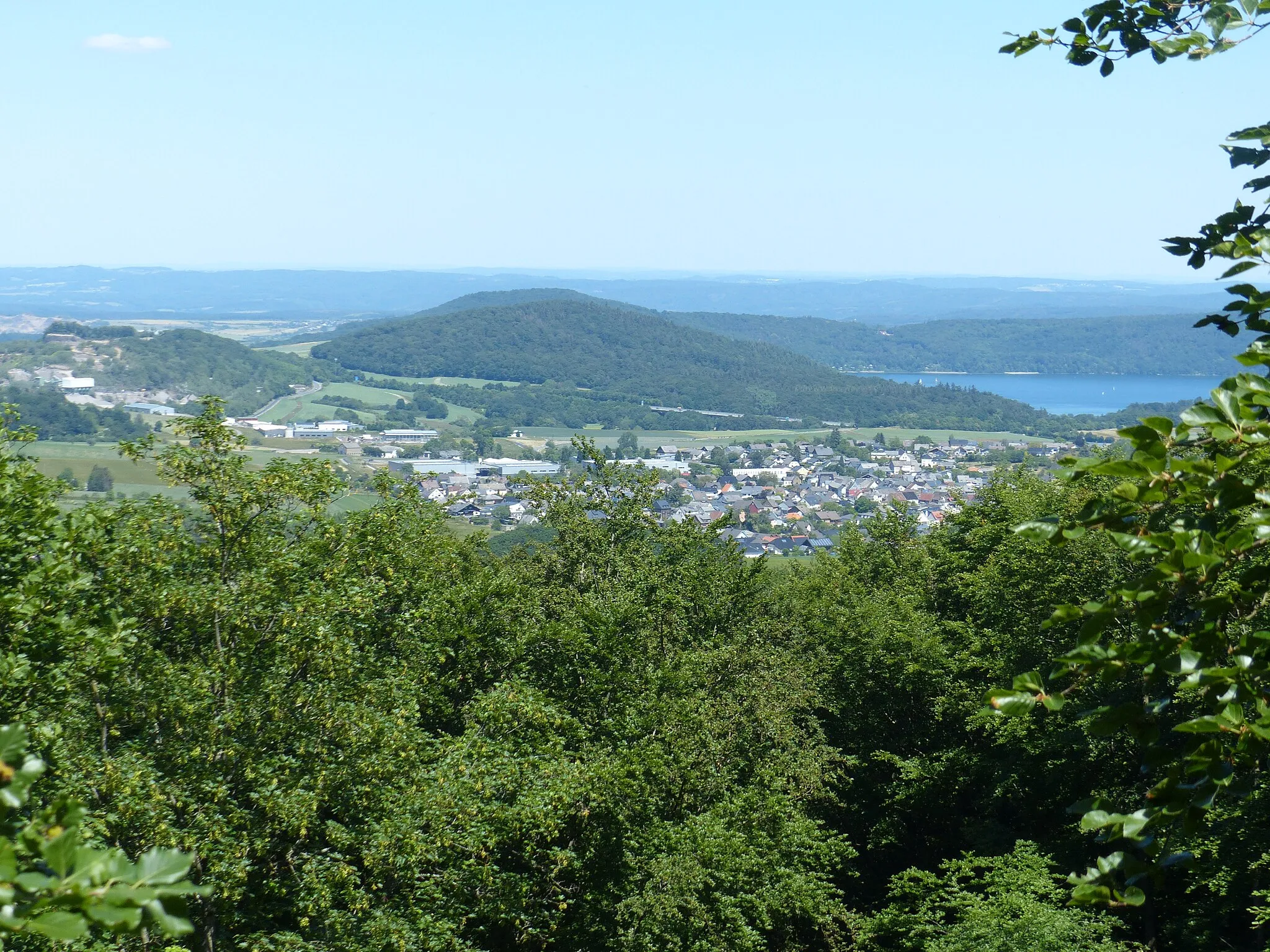
Hohe Acht747 mPeakExperience the thrill of conquering Hohe Acht, the highest mountain in the Eifel region, known for its challenging ascent and stunning views at the top.
66 km
66 km
Hochsimmer588 mPeakHochsimmer is a must-visit destination that provides breathtaking vistas of the surrounding valleys and forests.
71 km
71 km
KottenheimVillagePass through Kottenheim, a charming village that boasts a unique blend of traditional architecture and modern amenities.
80 km
80 km
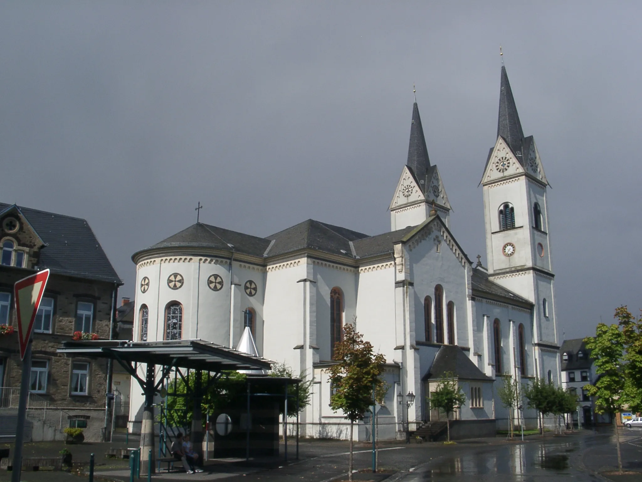
PolchTownPolch, a historic town with a rich past, offers a peaceful and picturesque setting for a brief stop during your ride.
85 km
85 km
Finish: Gierschnach Village centerMünstermaifeld: Historical Cycling Haven in Koblenz, Germany
Cycling routes from Muenstermaifeld:
Moselle River and Vulkan Express The Gravel Adventure: Castle Tour Gravel Adventure in the Hunsrück The Medieval Castle Circuit The Ultimate Gravel Challenge The Ultimate Gravel Adventure Rhine Valley Adventure Rhein and Rhineland Adventure Exploring the Vallendar Area The Mosel Valley Challenge The Gravel Adventure The Road to Adventure
Cycling routes nearby: