Historical Rhine Tour
A gravel cycling route starting from Nickenich
Embark on a historical adventure along the stunning Rhine river on this inviting gravel route.
Map
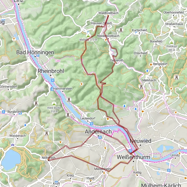
The Historical Rhine Tour is a 66 km long gravel cycling route that takes you past several historical landmarks along the picturesque Rhine river. With an ascent of 1072 meters, this route offers a moderate challenge for cyclists. Highlights along the route include the Krahnenberg castle ruins, the charming town of Andernach with its well-preserved city walls, and the beautiful Datzeroth region with its idyllic landscapes.
gravel
66 km
1072 m
Tough
Route profile
Highlights on the route
0 km
0 km
Start: Nickenich Village centerNickenich: Cycling and motorsport adventures near Koblenz, Germany
Nickenich is a charming village located in the Koblenz region of Germany. It offers a variety of cycling routes that cater to all skill levels. Road cyclists can enjoy smooth roads that wind through the picturesque countryside, while gravel cyclists can explore the nearby forest trails. Nickenich is well-known among cycling enthusiasts for being close to the famous Nürburgring, a legendary motorsport complex that also attracts many cyclists. The region is home to several challenging climbs and scenic routes, making it a popular destination for cyclists.6 km
6 km
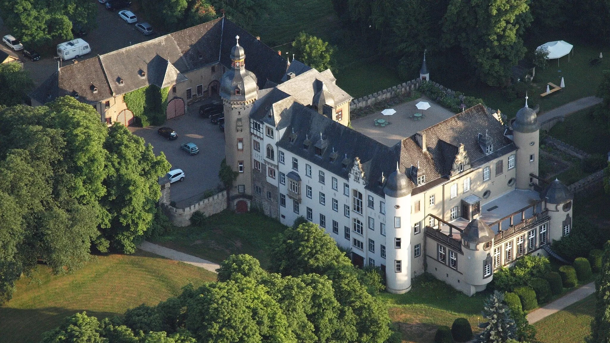
KrahnenbergViewpointExplore the castle ruins of Krahnenberg and discover the rich history of the region.
7 km
7 km
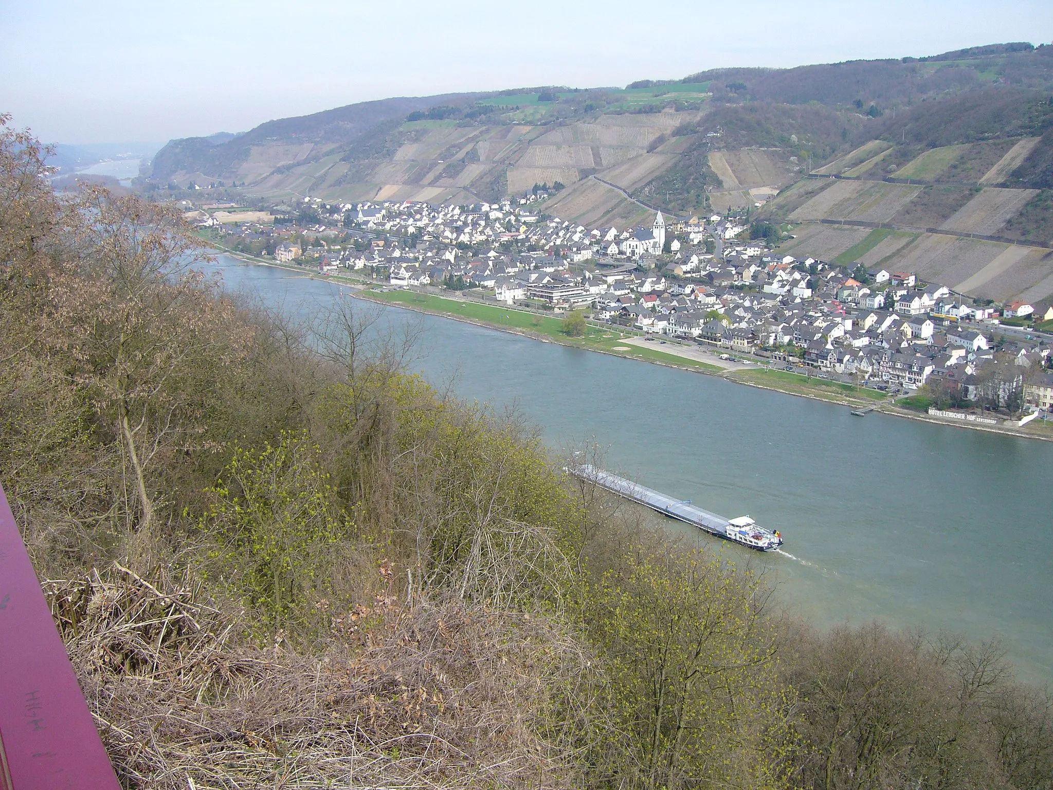
AndernachTownVisit the historic town of Andernach and admire its well-preserved city walls.
20 km
20 km
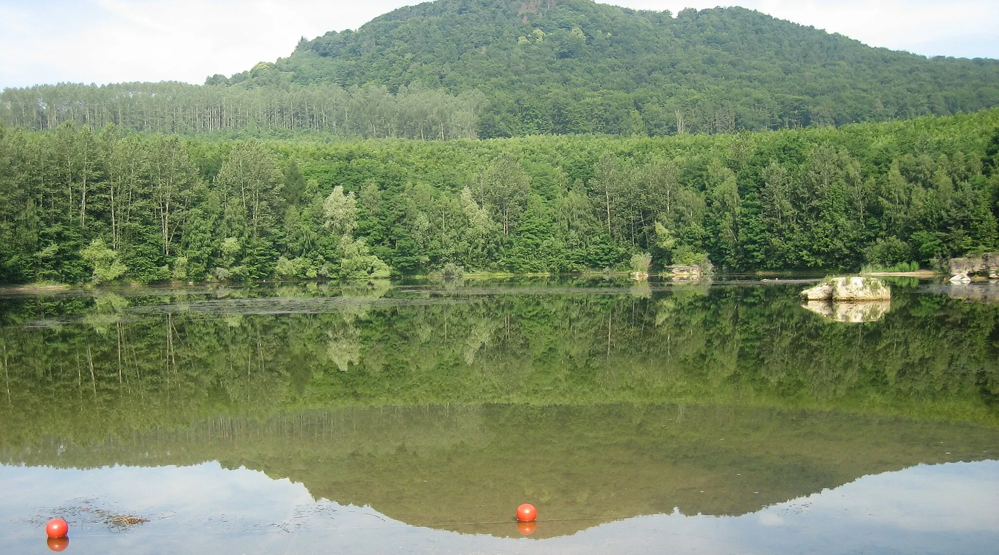
Lückenberg313 mPeakClimb up to Lückenberg and enjoy panoramic views over the surrounding countryside.
27 km
27 km
DatzerothVillageExperience the serenity of Datzeroth's beautiful landscapes and rolling hills.
35 km
35 km
Hausen (Wied)VillagePass through the peaceful village of Hausen (Wied) and enjoy its scenic surroundings.
37 km
37 km
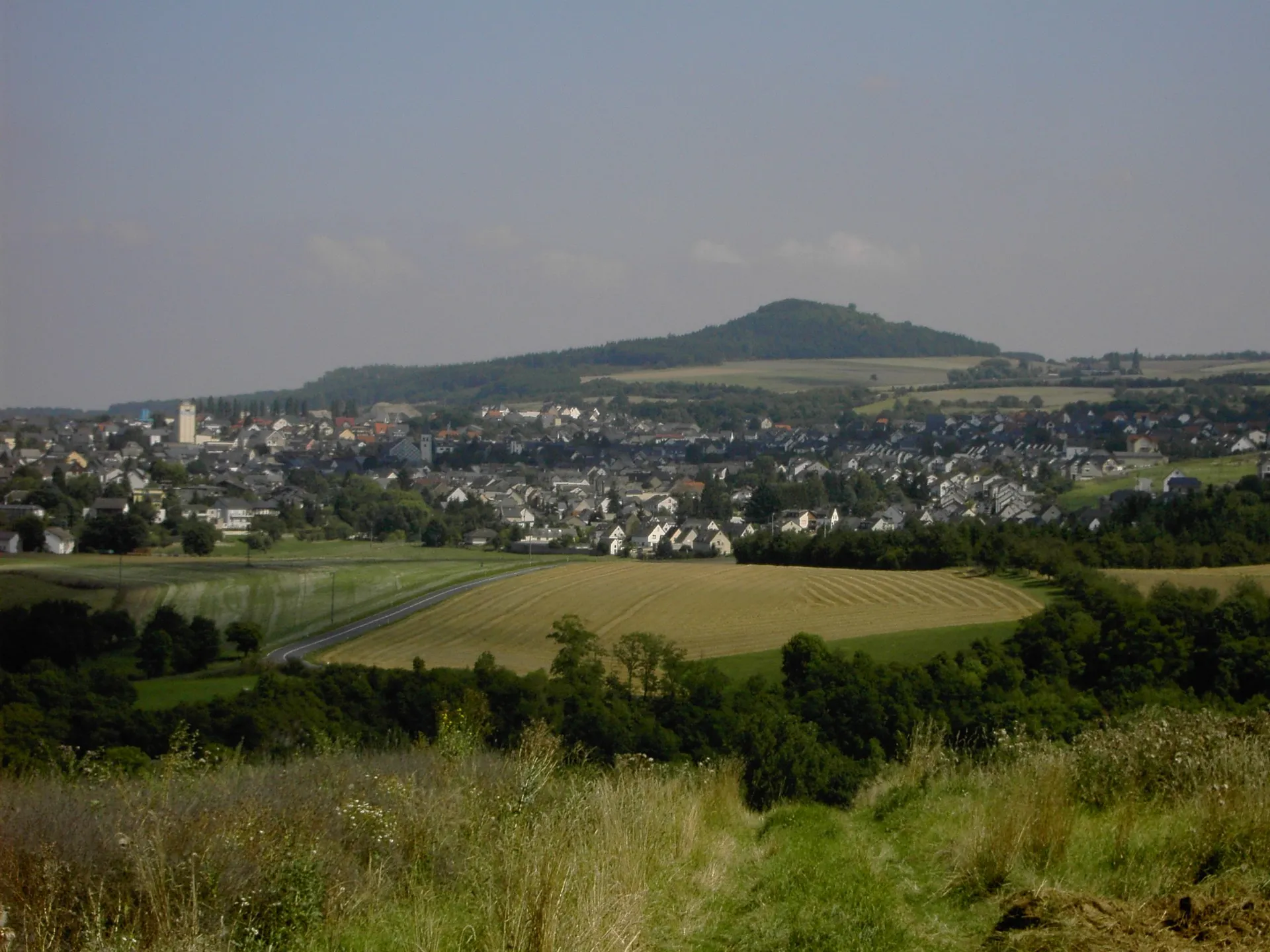
Malberg373 mPeakMarvel at the impressive Malberg area with its rugged terrain and captivating views.
56 km
56 km
WeißenthurmTownDiscover the picturesque town of Weißenthurm and its charming atmosphere.
66 km
66 km
Finish: Nickenich Village centerNickenich: Cycling and motorsport adventures near Koblenz, Germany
Cycling routes from Nickenich:
The Quaint Villages Discover the Rhine Gorges Historical Rhine Tour The Eifel Adventure The Volcano Tour Saffig Loop Heritage and Landscapes Off the Beaten Path Scenic Mosel Valley Epic Eifel Adventure Nickenich - Krahnenberg - Andernach - Köppel - Anhausen - Urbach - Dernbacher Kopf - Neuwied - Wasserturm Nickenich - Michelberg - Lonnig - Moselkern - Zillesberg - Bruttig-Fankel - Brauselay - Wirfus - Mendig Nickenich - Weißenthurm - Krahnenberg - Linz - Mehrberg - Rederscheid - Jähnen - Bürdenbach - Rengsdorf - Almblick - Neuwied - Nastberg Nickenich - Krahnenberg - Andernach - Koblenz - Dommelberg - Mittelberg - Kestert - Braubach - Koppelstein - Rittersturz - Foucault pendulum - Urmitz - Nastberg
Cycling routes nearby: