The Road Explorer
A road cycling route starting from Plaidt
Embark on a road cycling adventure through the captivating landscapes of Plaidt.
Map
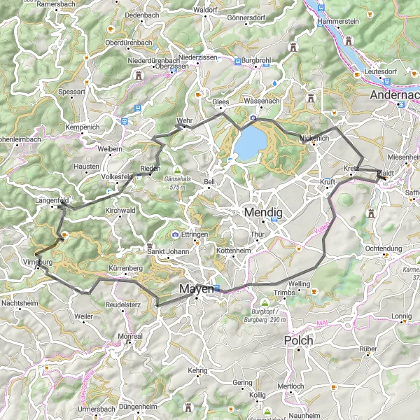
Experience the thrill of road cycling with this 70-kilometer route through the Plaidt region. With an ascent of 1235 meters, this route offers challenging climbs and scenic descents. The highlights include Kretz, Goloturm, Virneburg, Saberg, Volkesfeld, Veitskopf, Wassenach, and Nastberg. This route is perfect for cyclists seeking a mixture of challenging climbs and scenic landscapes.
road
70 km
1235 m
Tough
Route profile
Highlights on the route
0 km
0 km
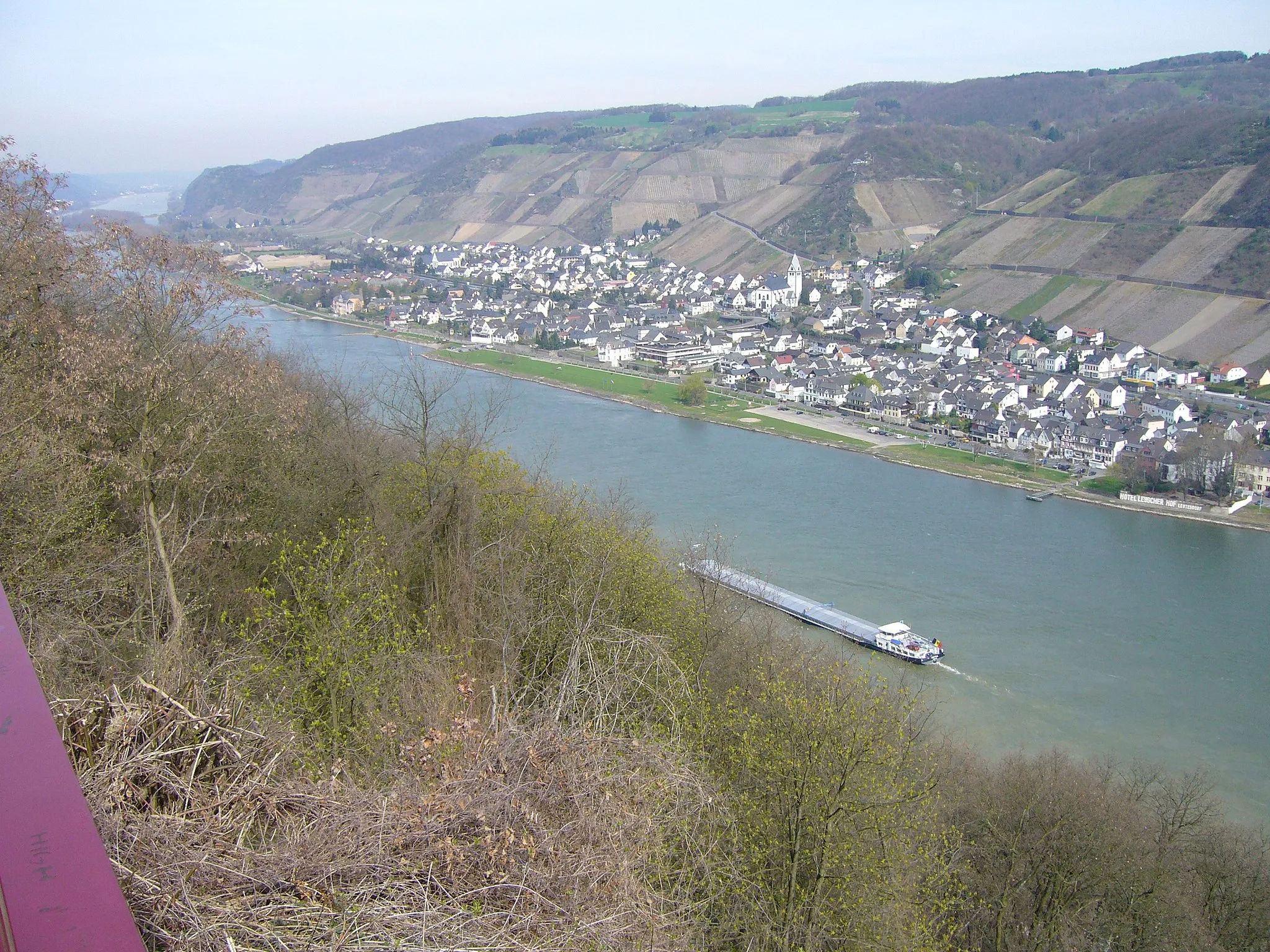
Start: Plaidt Village centerPlaidt: Discover the beauty of Plaidt - Explore Koblenz region on two wheels.
Plaidt is a town located in Koblenz, Germany. It offers several cycling routes suitable for road and gravel cyclists. The area features a mix of flat terrain and gentle hills, providing options for different cycling preferences. The nearby Rheinsteig trail is a popular spot for cyclists, offering scenic views of the Rhine River and surrounding countryside. Plaidt itself is a charming town with a rich history, making it an interesting destination for both cycling and cultural exploration.2 km
2 km
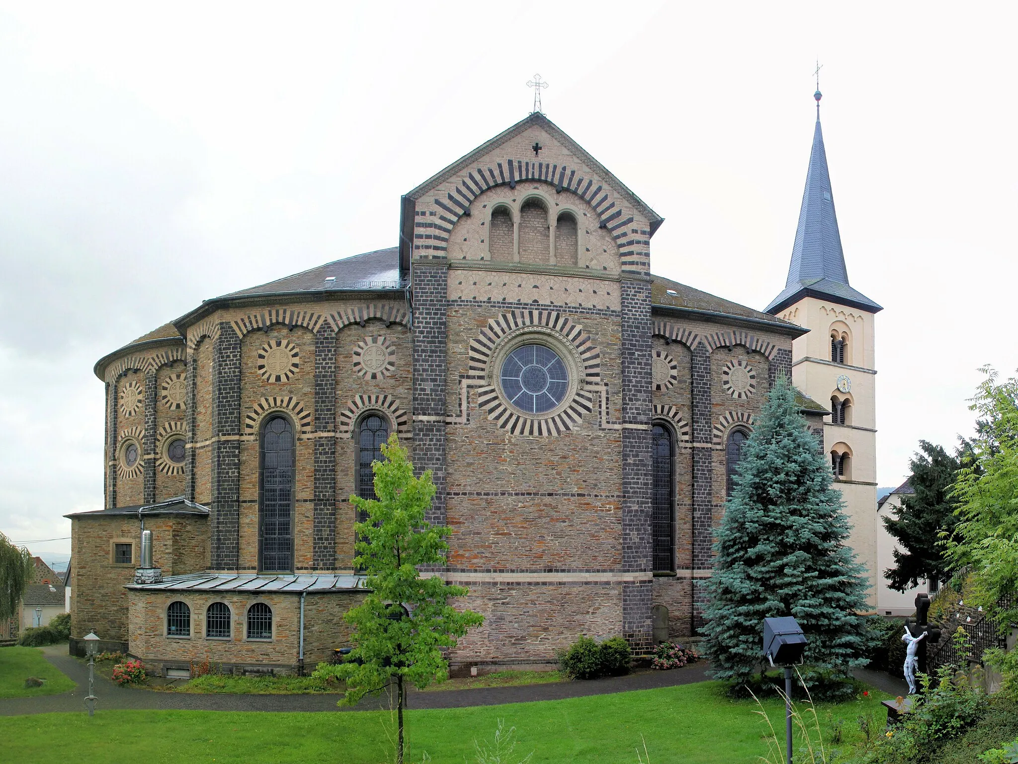
KretzVillageKretz is a quaint village with traditional German architecture. Discover the local culture and visit the charming shops.
18 km
18 km
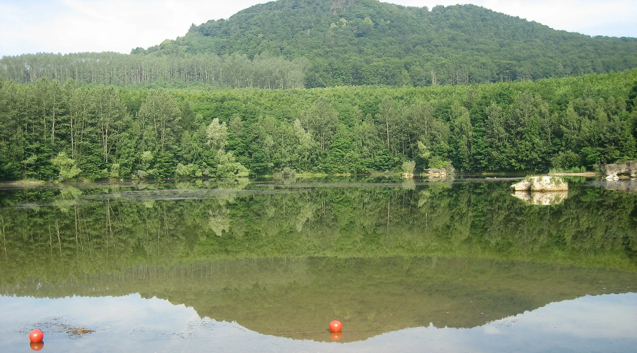
GoloturmViewpointGoloturm offers panoramic views of the surrounding countryside. Take a break and capture memorable photos.
31 km
31 km
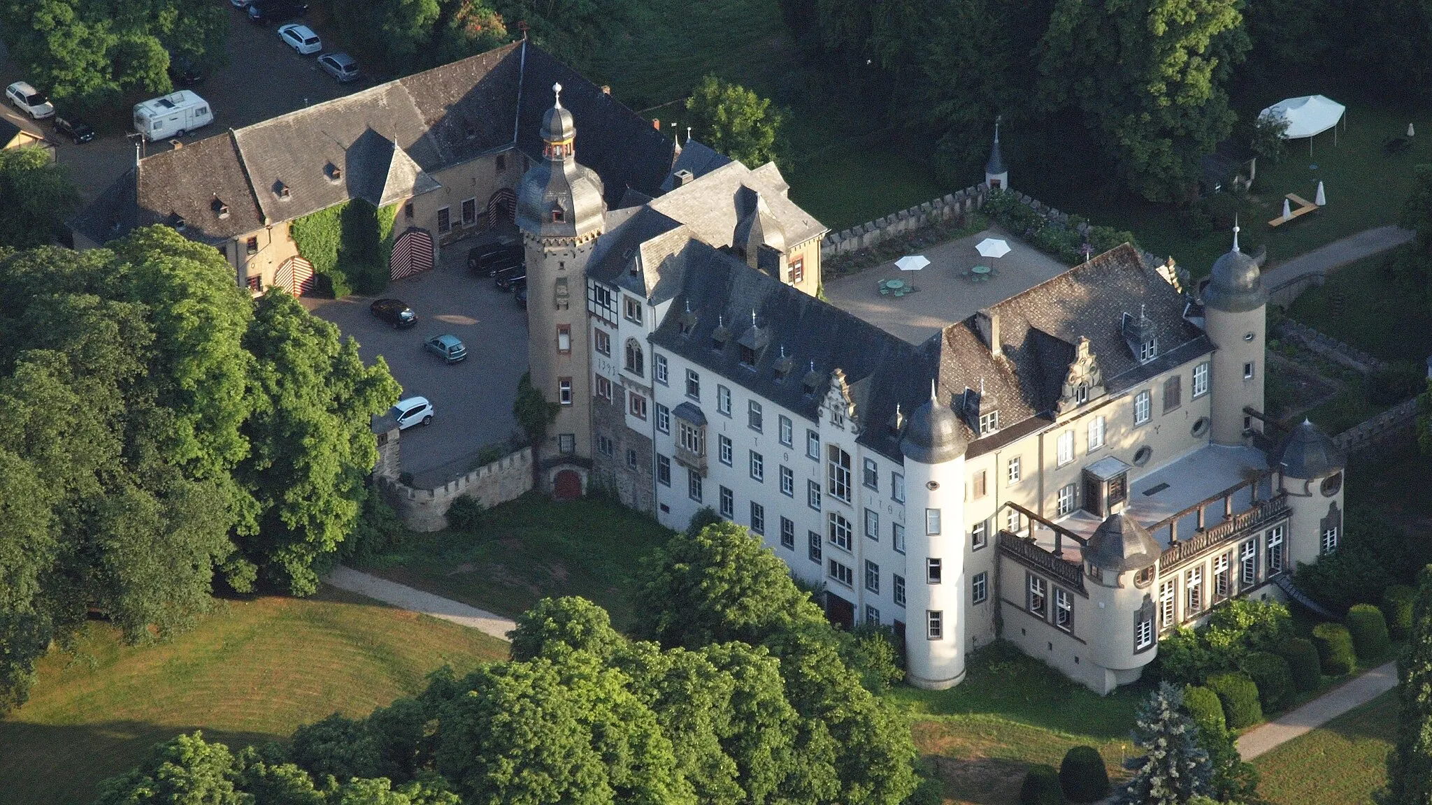
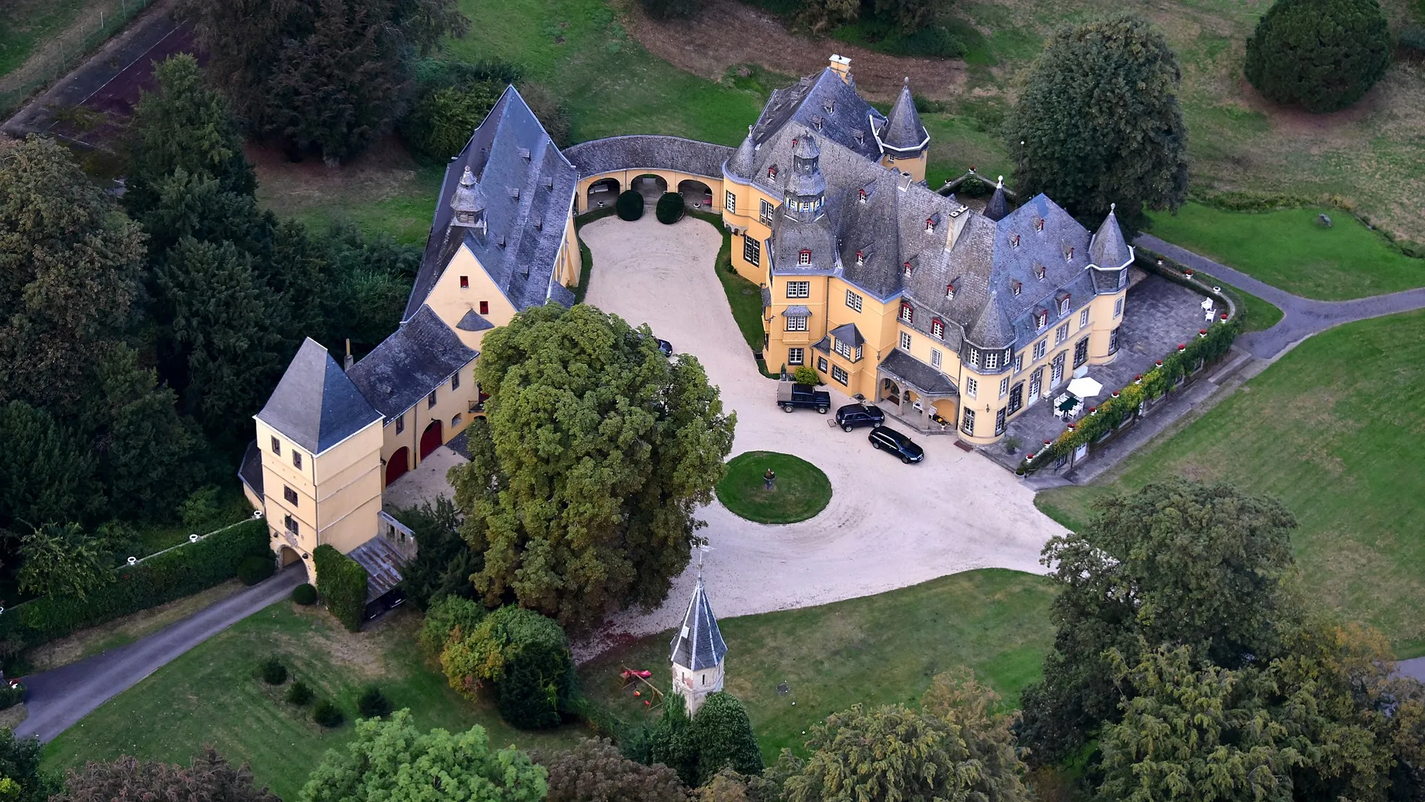
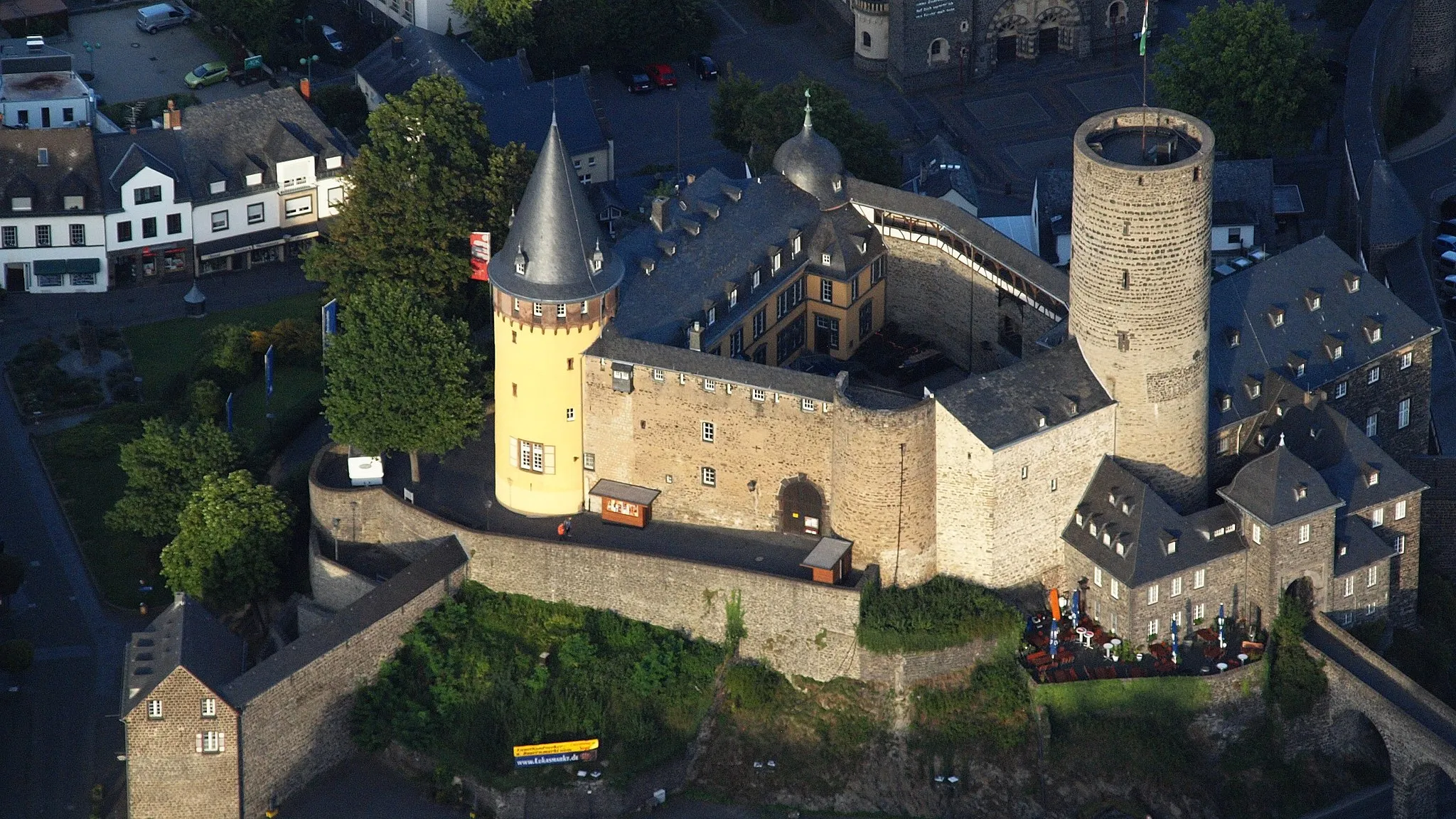
VirneburgCastleVirneburg is a historic castle town with stunning medieval architecture. Explore the castle ruins and learn about its history.
38 km
38 km
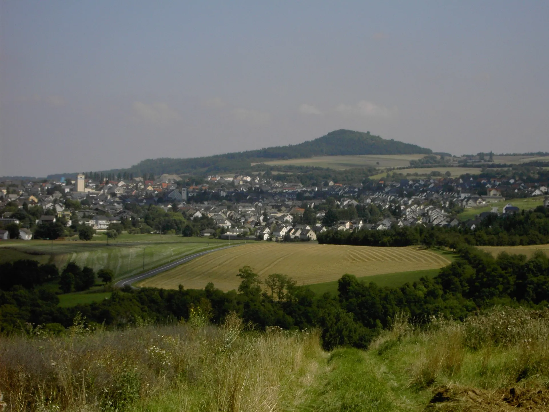
Saberg620 mPeakSaberg is a picturesque hill known for its striking views. Ascend to the top and immerse yourself in the breathtaking scenery.
44 km
44 km
VolkesfeldVillageVolkesfeld is a charming village with traditional half-timbered houses. Discover the local crafts and enjoy the peaceful atmosphere.
57 km
57 km
Veitskopf428 mPeakVeitskopf is a beautiful natural area with scenic walking trails. Take a detour and explore the serene surroundings.
58 km
58 km
WassenachVillageWassenach is a tranquil village surrounded by lush green fields. Relax and enjoy the pastoral beauty of the area.
64 km
64 km
Nastberg317 mPeak ViewpointNastberg offers panoramic views of the surrounding countryside. Take a moment to soak in the natural beauty.
70 km
70 km
Finish: Plaidt Village centerPlaidt: Discover the beauty of Plaidt - Explore Koblenz region on two wheels.
Cycling routes from Plaidt:
Cycling routes nearby: