Historic Villages and Natural Beauty
A road cycling route starting from Polch
Discover the charm of Monreal and the stunning Gänsehals on this road cycling route
Map
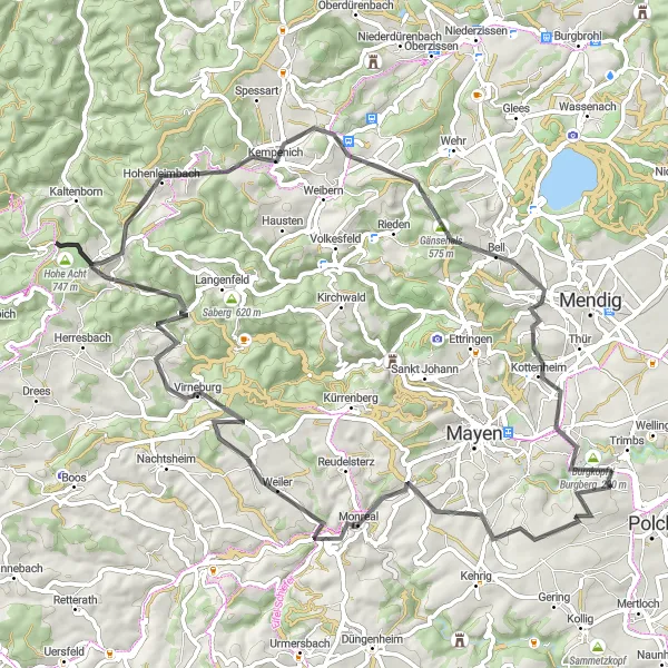
This road cycling route takes you through picturesque villages and showcases the natural beauty of the region. Highlights along the route include the medieval village of Monreal, known for its well-preserved half-timbered houses and winding streets. Another highlight is the Gänsehals, a scenic spot with panoramic views of the surrounding countryside. The route also passes Hohe Acht, the highest peak in the Eifel region, where you can enjoy breathtaking vistas. The Aussichts- und Rastplatz Nettehof, located along the route, offers a great spot for a break with its scenic views.
road
75 km
1494 m
Tough
Route profile
Highlights on the route
0 km
0 km
Start: Nettesürsch Village centerPolch: Cycling Paradise in Koblenz, Germany
Polch is a small town located in Koblenz, Germany, making it a great starting point for road and gravel cyclists. The surrounding region offers a variety of scenic routes and challenging climbs, perfect for those seeking an adrenaline-filled adventure. Notable cycling spots nearby include the Moselle River cycling path and the legendary Loreley climb. With its charming atmosphere and cycling-friendly infrastructure, Polch is a must-visit destination for cyclists of all levels.14 km
14 km
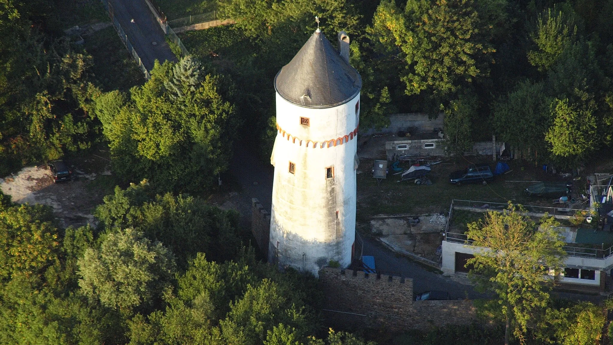
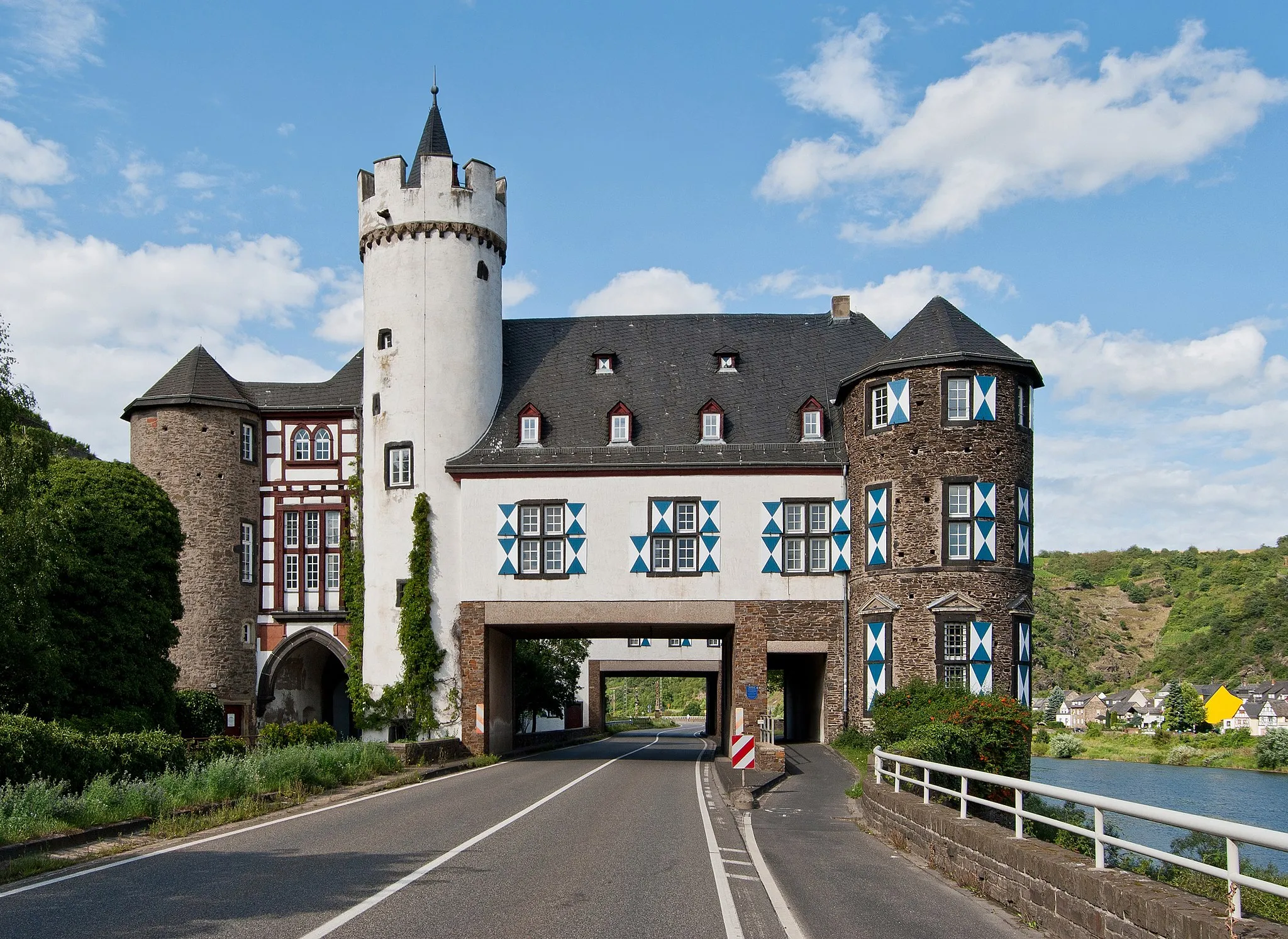
MonrealVillageExplore the medieval village of Monreal with its charming half-timbered houses and narrow streets.
34 km
34 km
AchtVillageAcht is a quaint village with a historic church and beautiful surroundings.
40 km
40 km
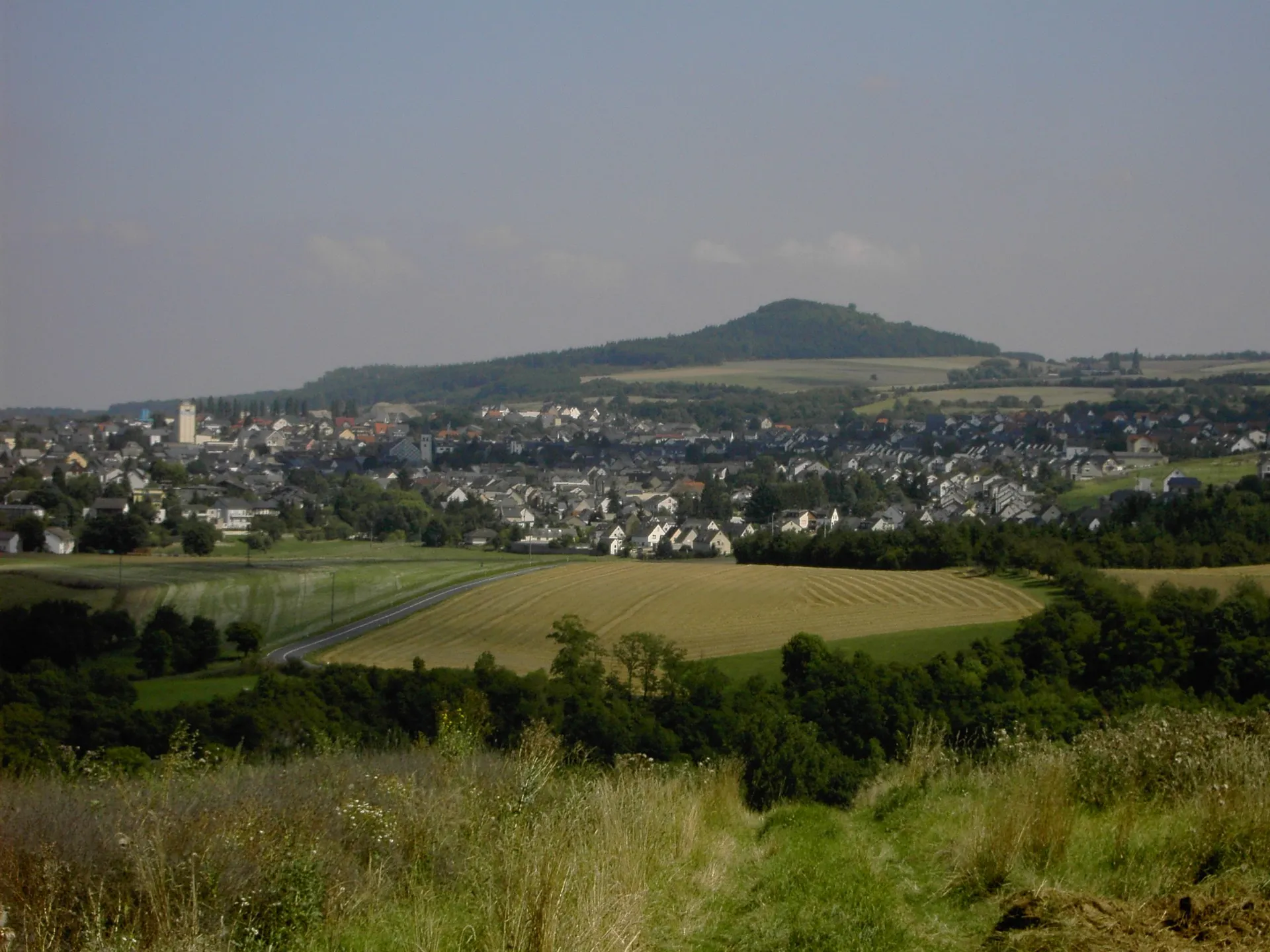
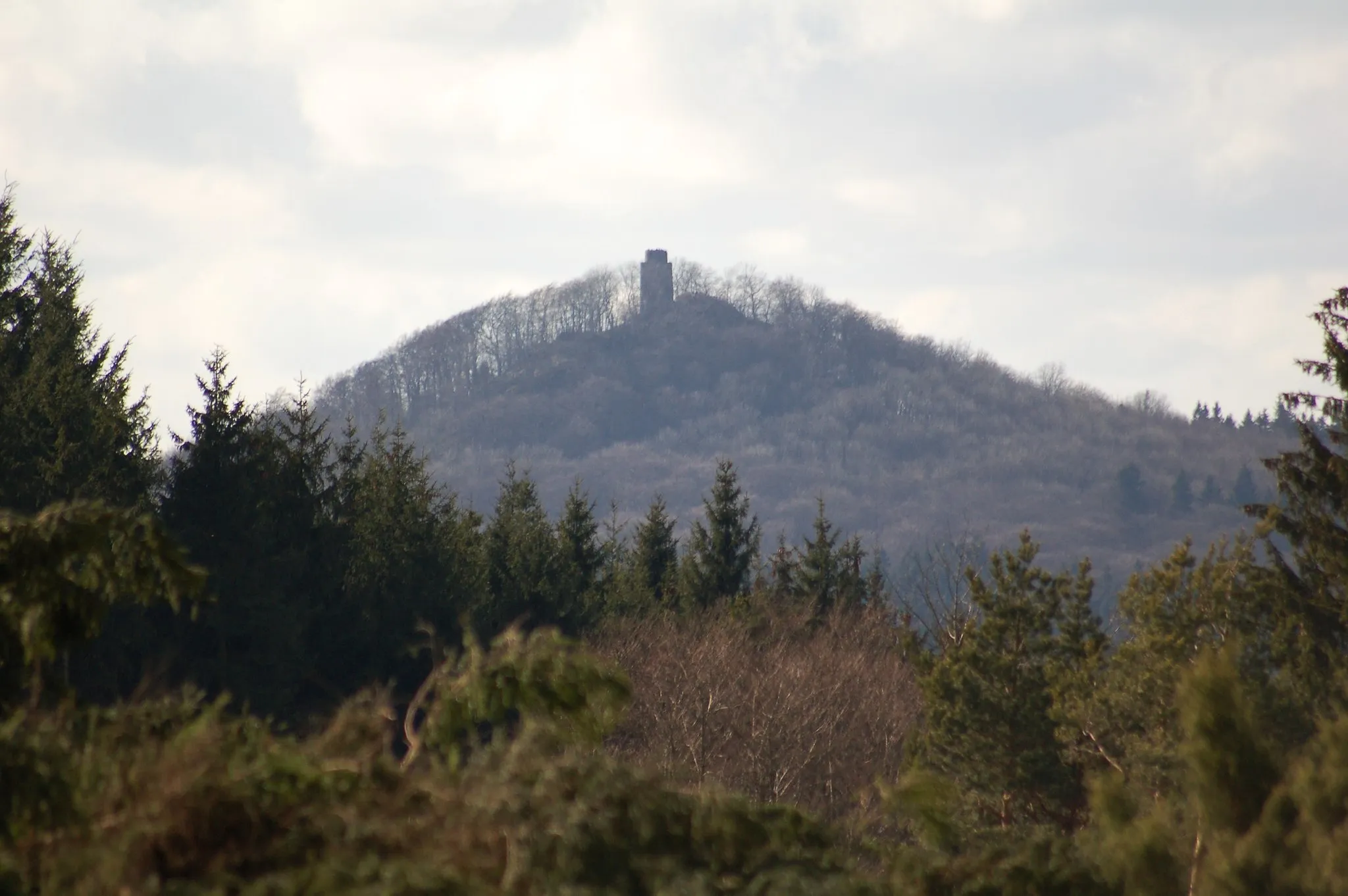
Hohe Acht747 mPeakAdmire the panoramic views from Hohe Acht, the highest peak in the Eifel region.
60 km
60 km
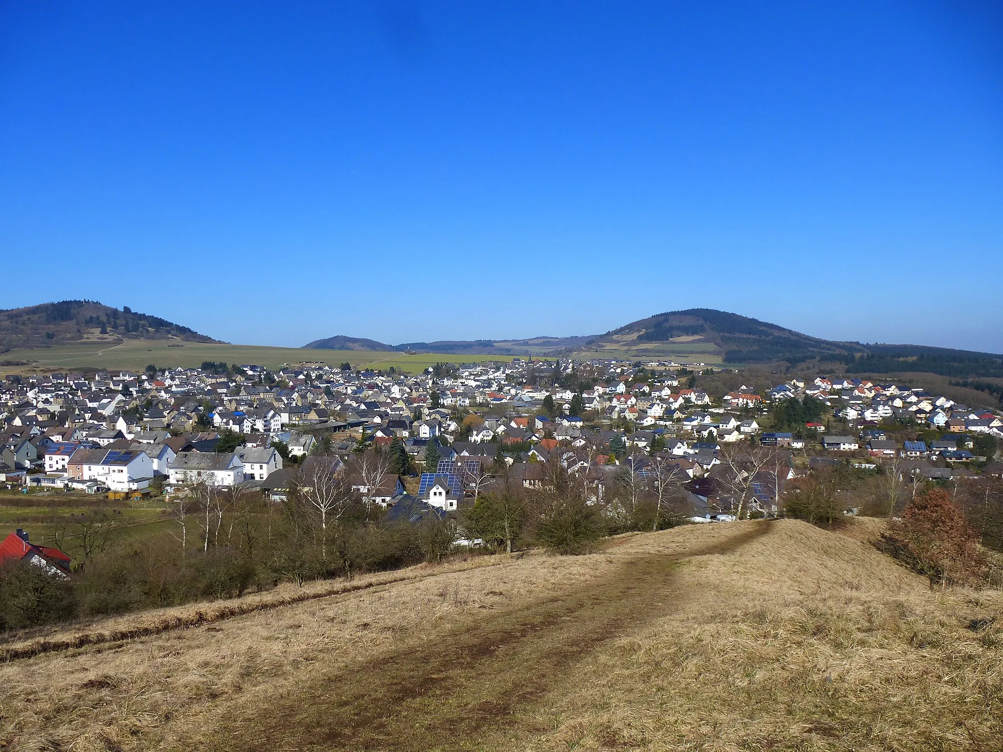
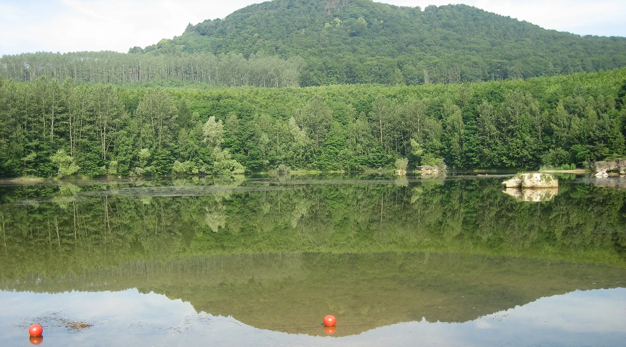
Gänsehals575 mPeakThe Gänsehals offers stunning views over the surrounding countryside.
62 km
62 km
BellVillageBell is a small village surrounded by nature, perfect for a peaceful ride.
74 km
74 km
Aussichts- und Rastplatz NettehofViewpointThe Aussichts- und Rastplatz Nettehof is a scenic viewpoint and rest area on the route.
75 km
75 km
TrimbsVillageThe village of Trimbs is known for its beautiful 12th-century church.
75 km
75 km
Finish: Nettesürsch Village centerPolch: Cycling Paradise in Koblenz, Germany
Cycling routes from Polch:
The Eifel's Hidden Gems Historic Villages and Natural Beauty A Land of Castles and Mountains Gravel Adventure: Exploring the Countryside Scenic Gravel Ride with Charming Villages The Hills and Castles Loop The Gravel Adventure The Eifel Hills Challenge The Moselle Valley Adventure The Ultimate Gravel Challenge
Cycling routes nearby: