The Ultimate Road Challenge
A road cycling route starting from Rennerod
Conquer legendary climbs and stunning roads on this ultimate road cycling challenge near Rennerod.
Map
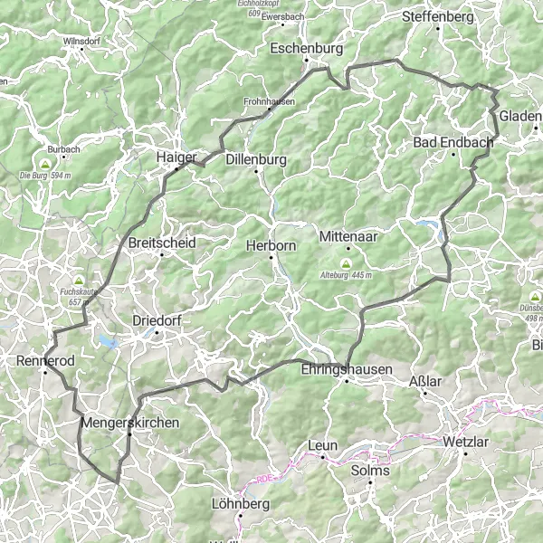
Embark on the ultimate road cycling challenge near Rennerod, as you conquer legendary climbs and breathtaking roads. Covering a distance of 120 km and climbing 1859 meters, this route is strictly for experienced cyclists craving an epic adventure. The highlights along the way include Homberg, Haiger, Heunstein, Lixfeld, Daubhaus, Alte Berge, Niederweidbach, Ehringshausen, Arborn, Baums Kreuz, Zeitenberg, and Westernohe.
road
120 km
1859 m
Savage
Route profile
Highlights on the route
0 km
0 km
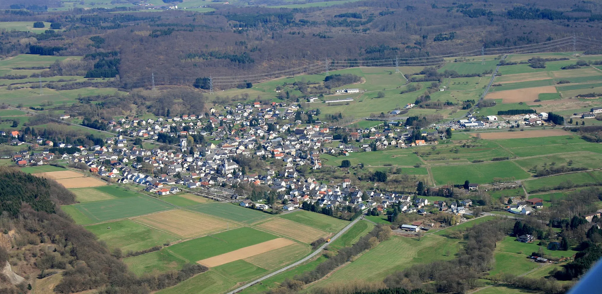
Start: Rennerod City centerRennerod: Cycling through the scenic wonders of Koblenz, Germany
Rennerod, located in Koblenz, Germany, offers a memorable cycling experience for both road and gravel cyclists. The area features a mix of challenging climbs and scenic routes that showcase the region's natural beauty. Cyclists can explore the picturesque Westerwald region, known for its rolling hills, winding roads, and tranquil forests. One of the famous cycling spots near Rennerod is the Schönbuchel climb, which attracts cyclists looking for a challenging ascent. With its diverse cycling options and stunning landscapes, Rennerod is a must-visit destination for cyclists of all levels.6 km
6 km
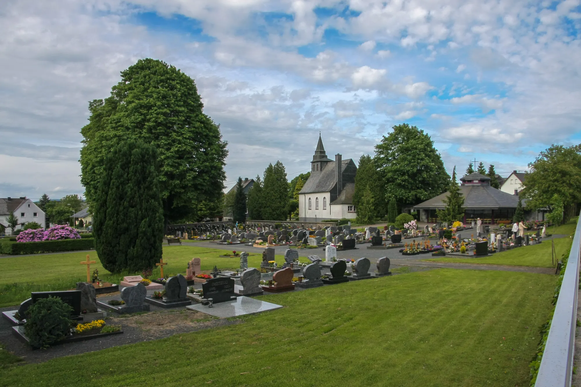
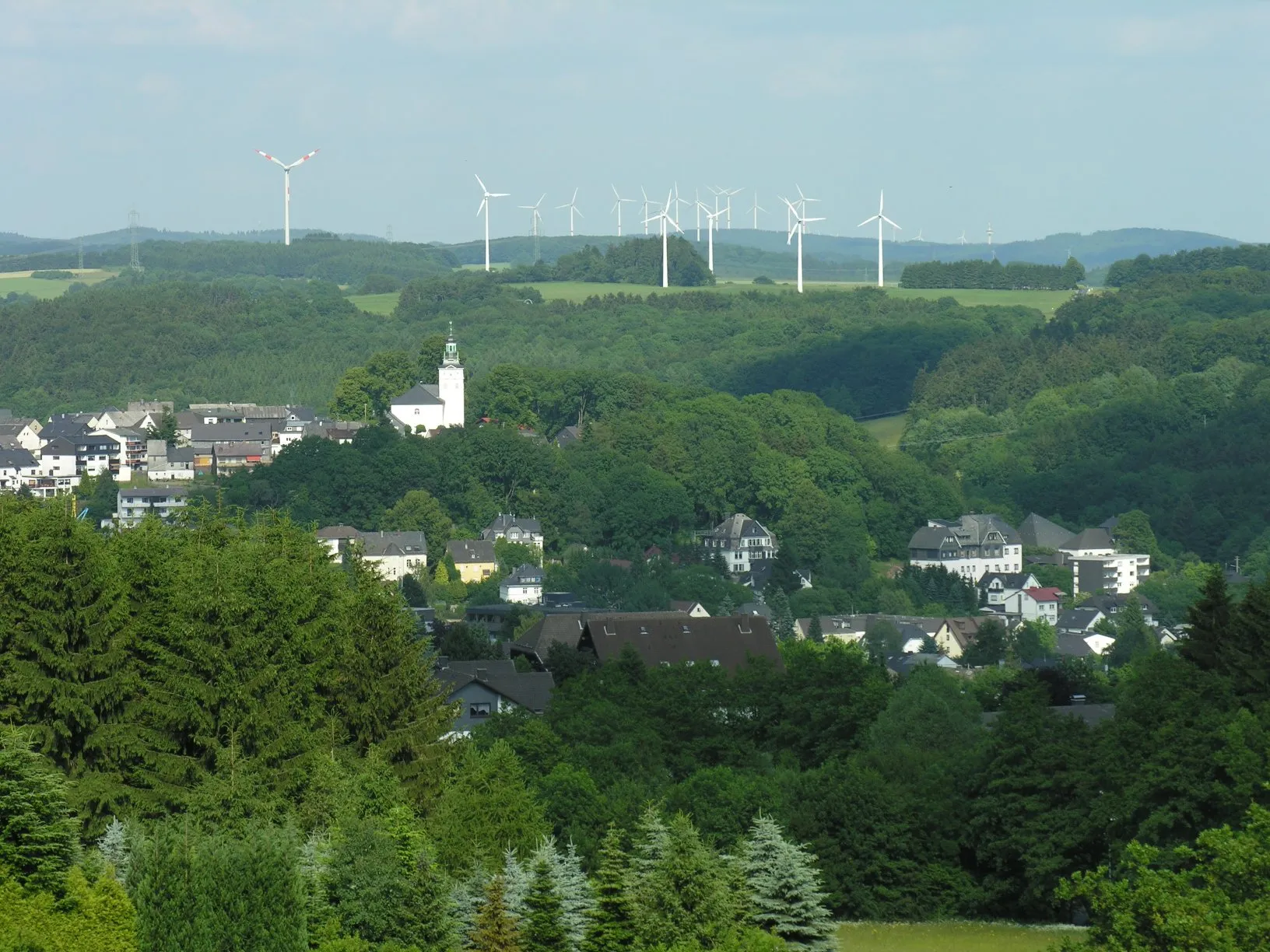
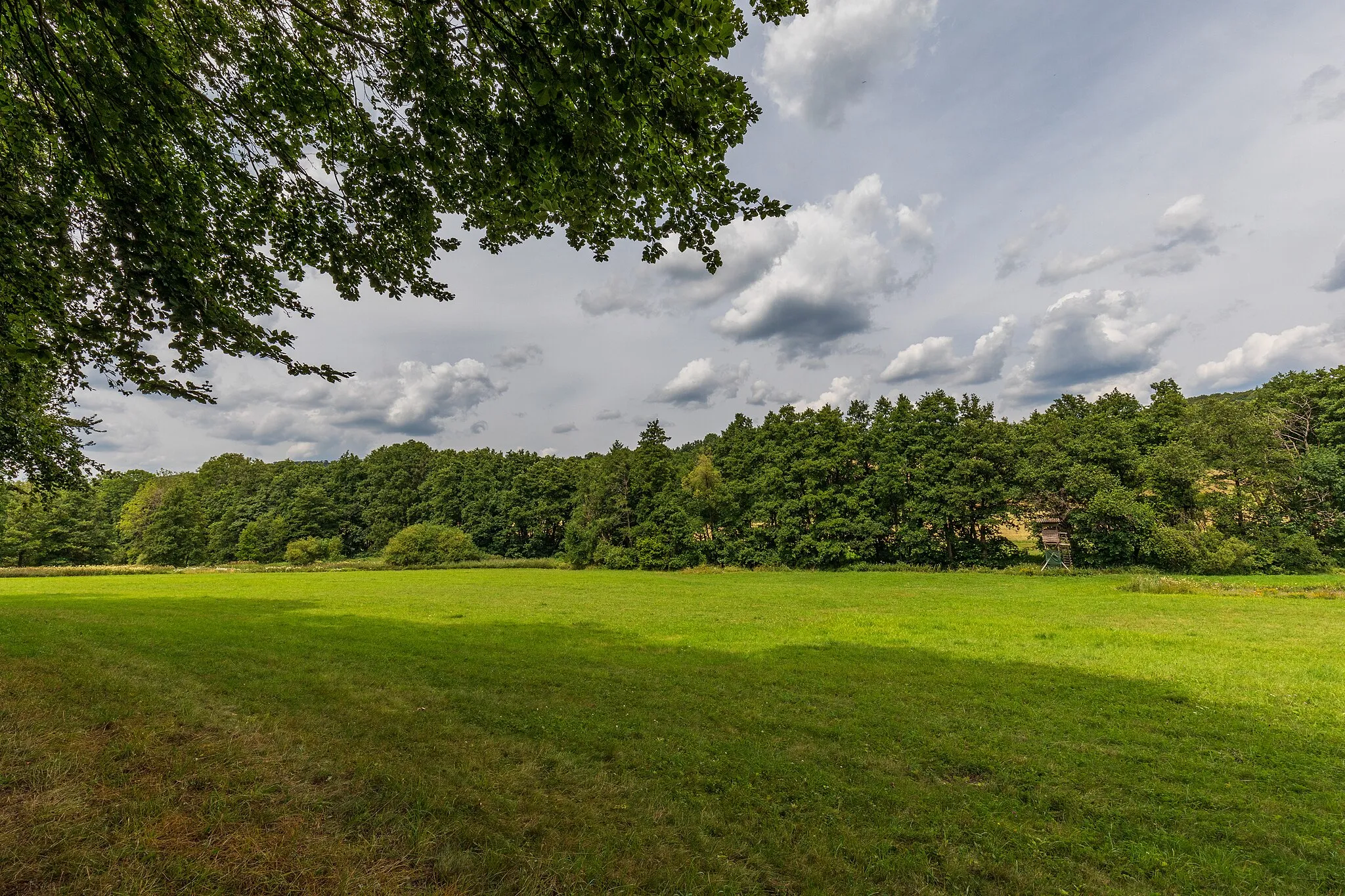
Homberg634 mVillageBeginning at 6 km, Homberg offers an enticing glimpse of the iconic climbs and cobbled roads that lie ahead.
20 km
20 km
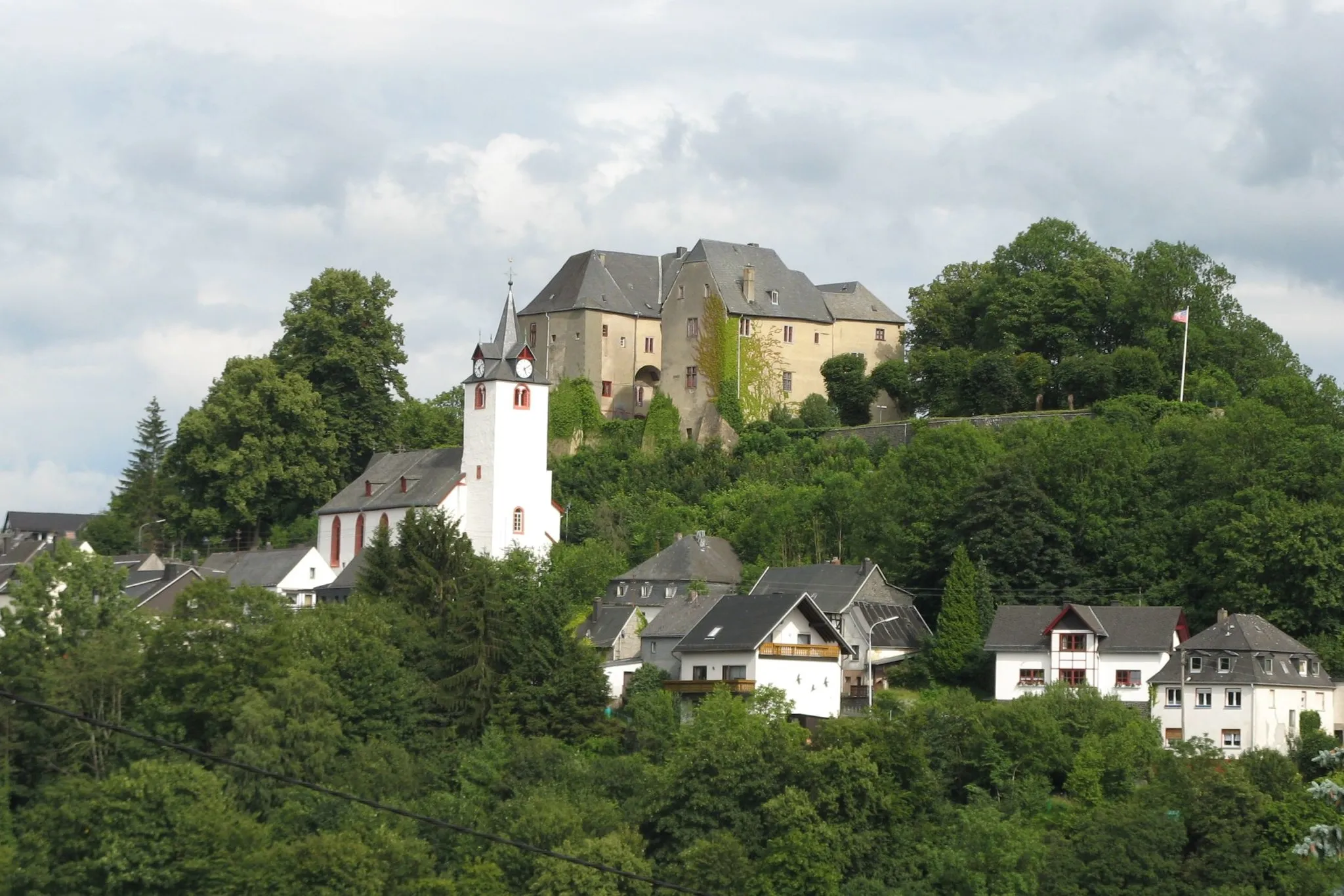
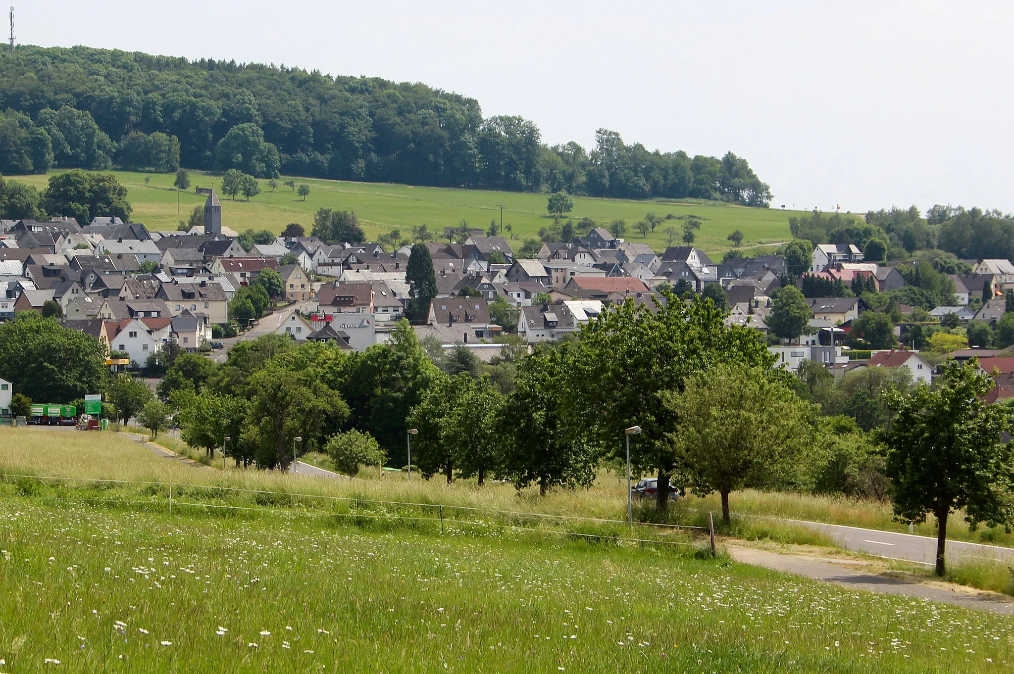
HaigerTownHaiger awaits at 20 km with its challenging climbs and scenic landscapes, making it a favorite among road cycling enthusiasts.
29 km
29 km
Heunstein471 mPeakAt 29 km, Heunstein tests cyclists' skills with its steep ascents and rewards them with magnificent views.
41 km
41 km
LixfeldVillageLixfeld, reached at 41 km, is a hidden gem boasting panoramic vistas and quiet roads.
51 km
51 km
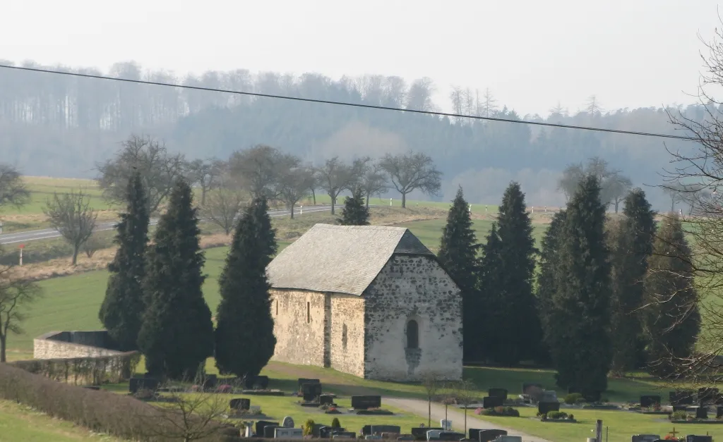
Daubhaus552 mPeakExperience the peace of mind found at Daubhaus, nestled amidst lush green forests at 51 km.
62 km
62 km
Alte Berge460 mPeakAt 62 km, Alte Berge offers challenging climbs and rugged terrains, making it a paradise for avid cyclists.
65 km
65 km
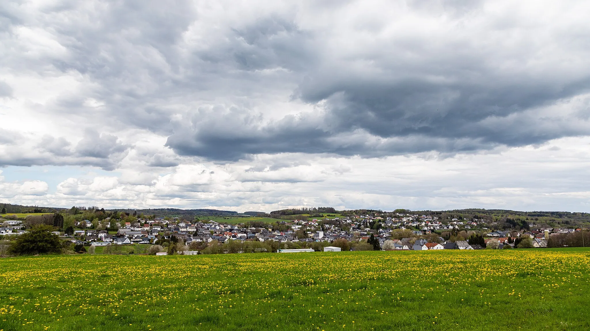
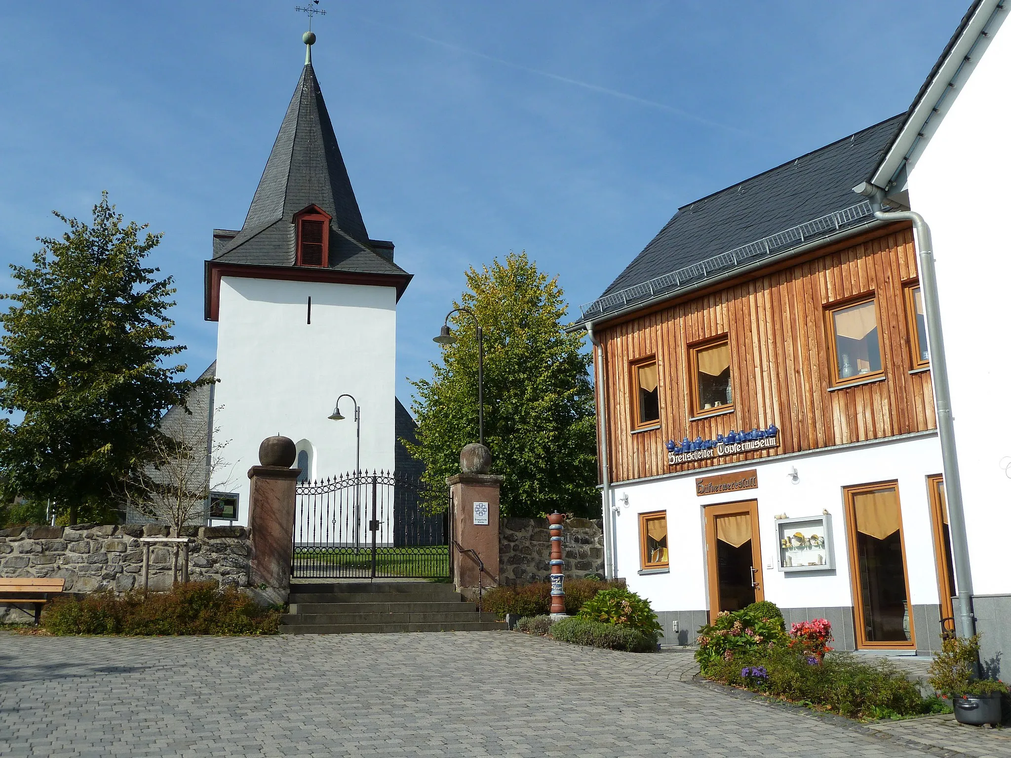
NiederweidbachVillagePass through Niederweidbach at 65 km, which captivates cyclists with its idyllic landscapes and charming countryside.
82 km
82 km
EhringshausenTownEhringshausen, located at 82 km, boasts stunning natural beauty and a warm hospitality.
100 km
100 km
ArbornVillageArborn, reached at 100 km, enchants cyclists with its captivating landscape and charming stone houses.
103 km
103 km
Baums KreuzViewpointBaums Kreuz, after 103 km, rewards cyclists with breathtaking views and a sense of accomplishment.
115 km
115 km
Zeitenberg391 mPeakAt 115 km, Zeitenberg captivates with its peaceful ambiance and scenic routes.
117 km
117 km
WesternoheVillageReach Westernohe at 117 km, relishing the stunning views amidst challenging climbs.
120 km
120 km
Finish: Rennerod City centerRennerod: Cycling through the scenic wonders of Koblenz, Germany
Cycling routes from Rennerod:
Challenging gravel paths with a mix of historic landmarks Steep climbs and scenic views in Bretthausen Scenic landscapes and hidden gems in Waigandshain Road cycling with historic landmarks and scenic views in Homberg Road cycling with panoramic views in Waigandshain The Gravel Adventure Scenic Road Adventure The Gravel Explorer The Westernohe Loop The Ultimate Road Challenge Rennerod and Beyond Scenic Delights: Rennerod to Bella Bella Hills and Villages: Rennerod to Westernohe
Cycling routes nearby: