Unnau to Donsbach Loop
A road cycling route starting from Unnau
Experience the beauty of nature and breathtaking views on this challenging road cycling route from Unnau to Donsbach.
Map
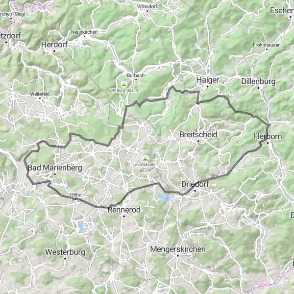
This 81-kilometer road cycling route takes you through scenic landscapes and charming villages. With a total ascent of 1241 meters, expect challenging climbs and rewarding downhills. The route offers a mix of flat sections, moderate inclines, and steep ascents, making it suitable for experienced cyclists. You'll pass through highlights such as the Bölsberg viewpoint, Kühfelderstein monument, and the Driedorf village.
road
81 km
1241 m
Tough
Route profile
Highlights on the route
0 km
0 km
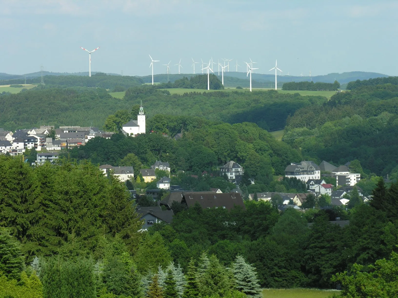
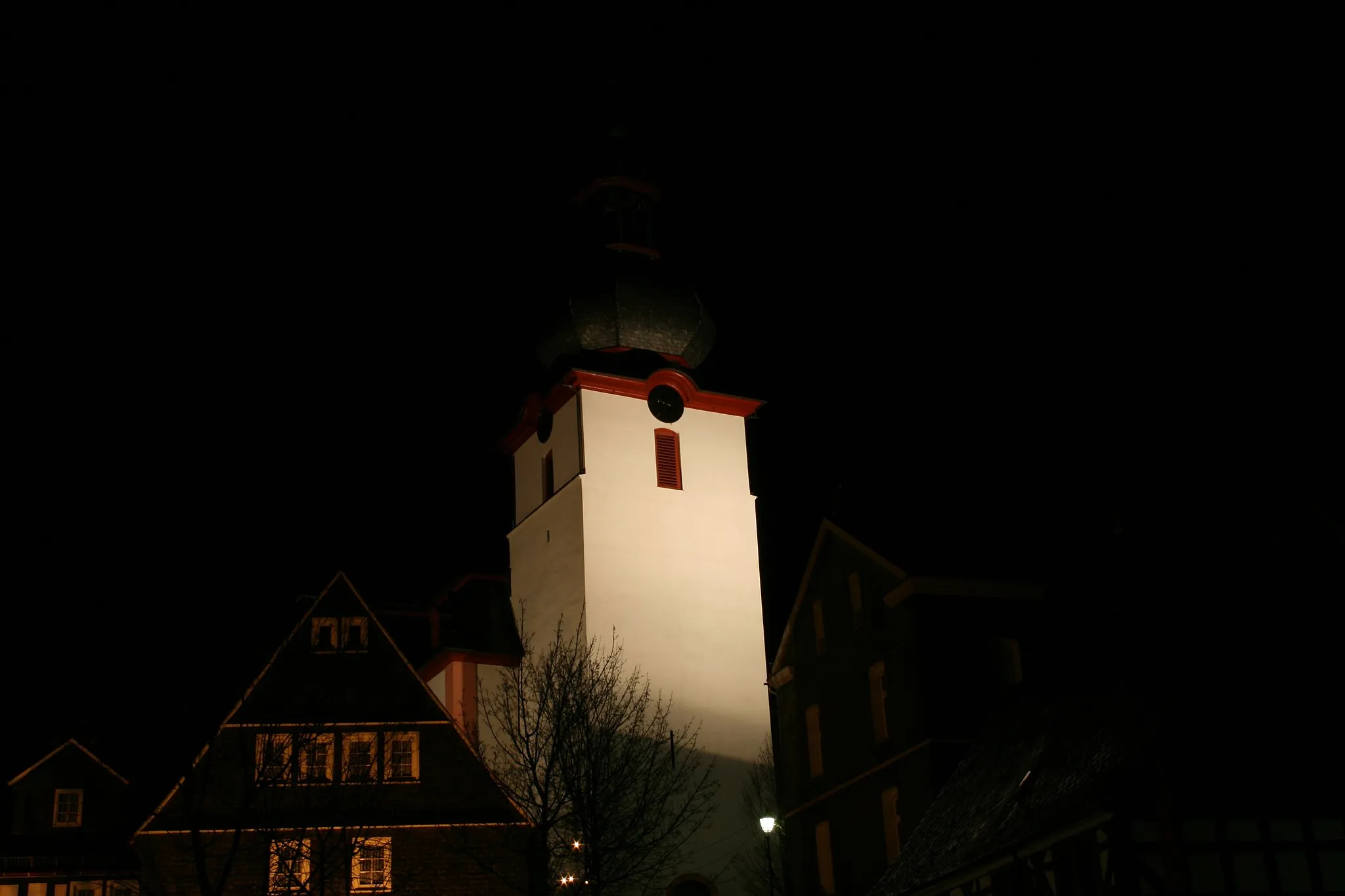
Start: Stangenrod Village centerUnnau: Enjoyable Cycling in Koblenz
Unnau, positioned in Koblenz, Germany, offers a satisfactory cycling experience. The locality features a mix of flat and slightly hilly terrain, providing options for cyclists of various fitness levels. The roads are generally well-maintained, and cyclists can enjoy scenic views as they ride through the countryside. While there may not be any famous cycling spots or iconic climbs in the immediate vicinity, Unnau is still a worthy destination for cyclists seeking quieter routes and a more relaxed cycling atmosphere. Overall, Unnau provides a pleasant cycling environment for riders to explore the beauty of the Koblenz region.1 km
1 km
BölsbergVillageBölsberg offers panoramic views of the surrounding valleys and forests.
15 km
15 km
Kühfelderstein637 mPeakKühfelderstein is an impressive rock formation with historical significance.
35 km
35 km
Kornberg454 mPeak ViewpointKornberg Summit rewards you with stunning vistas of the Westerwald region.
35 km
35 km
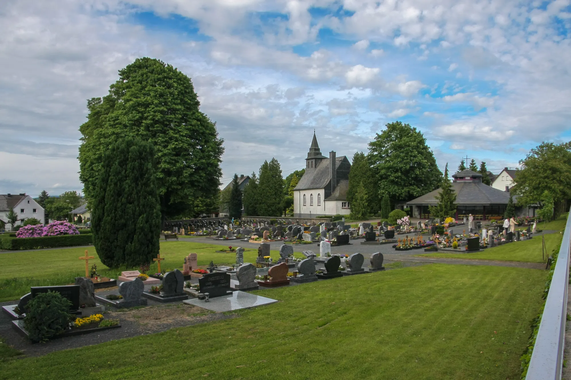
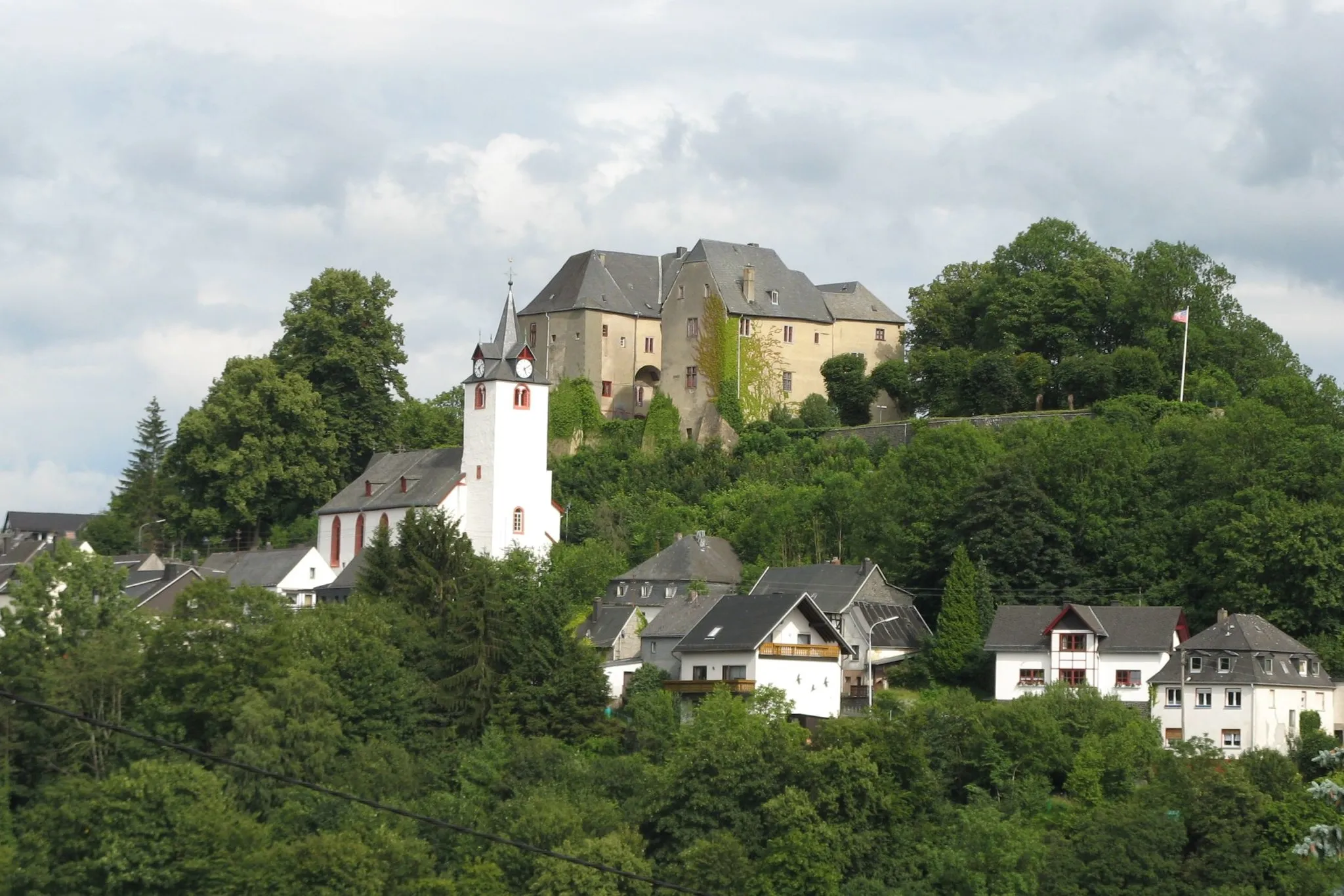
DonsbachVillageDonsbach is a picturesque village known for its well-preserved half-timbered houses.
43 km
43 km
Aussichtsturm DillblickViewpointAussichtsturm Dillblick is an observation tower offering panoramic views of the Dill valley.
54 km
54 km
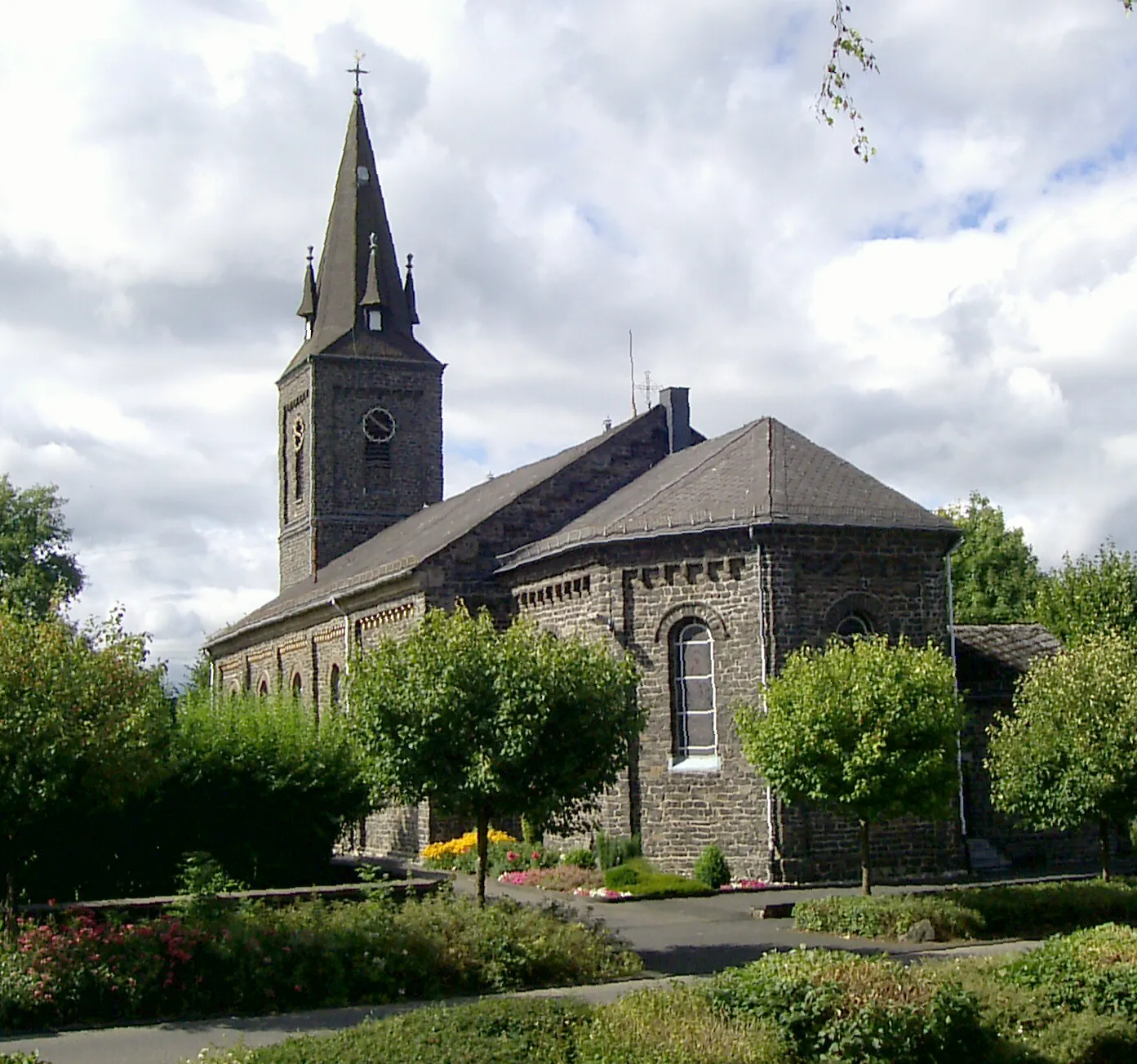
DriedorfTownDriedorf is a charming village surrounded by peaceful countryside.
68 km
68 km
Hohenscheid475 mPeakHohenscheid provides stunning views of rolling hills and forests.
77 km
77 km
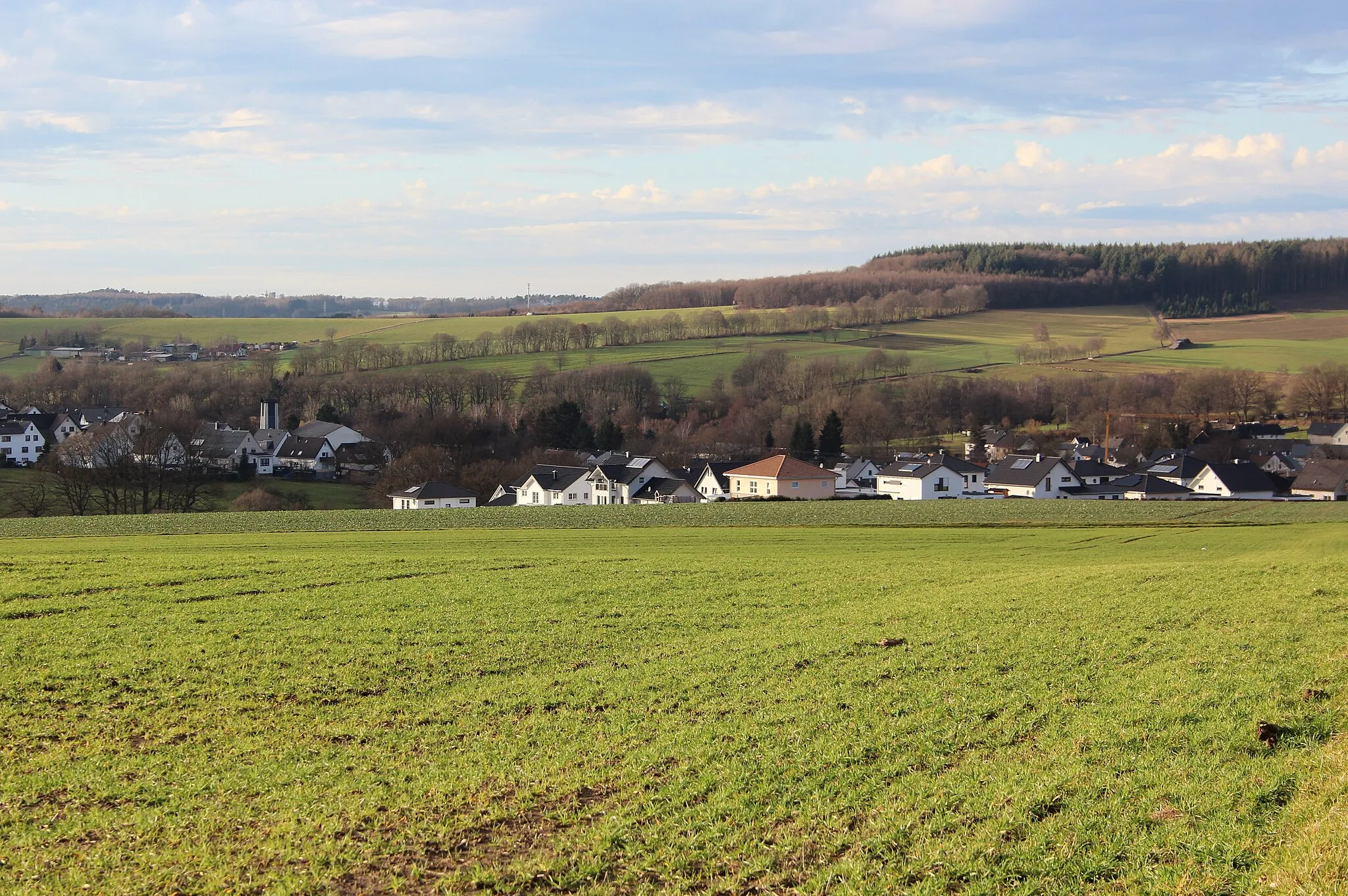
HardtVillageHardt offers breathtaking views of the lush green landscapes.
78 km
78 km
Scharfenstein454 mPeakScharfenstein is a historic castle ruin that adds a touch of medieval charm to the route.
81 km
81 km
Finish: Stangenrod Village centerUnnau: Enjoyable Cycling in Koblenz
Cycling routes nearby: