Gravel Adventure in Vettelschoß
A gravel cycling route starting from Vettelschoss
Embark on a gravel adventure through Vettelschoß and its scenic surroundings
Map
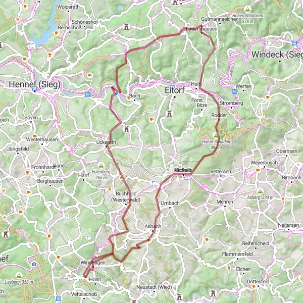
This 69-kilometer gravel route takes you on an adventurous journey through Vettelschoß and its picturesque surroundings. With an ascent of 1,080 meters, it offers a challenge for gravel enthusiasts seeking an off-road experience. Start in Vettelschoß and explore highlights such as the charming town of Windhagen, the Kölsch-Büllesbach nature reserve, and the Stachelberg viewpoint. The difficulty level of this route is 3 out of 5, suitable for moderately experienced gravel cyclists. Enjoy the thrill of off-road cycling and discover the hidden gems of Vettelschoß.
gravel
69 km
1080 m
Tough
Route profile
Highlights on the route
0 km
0 km
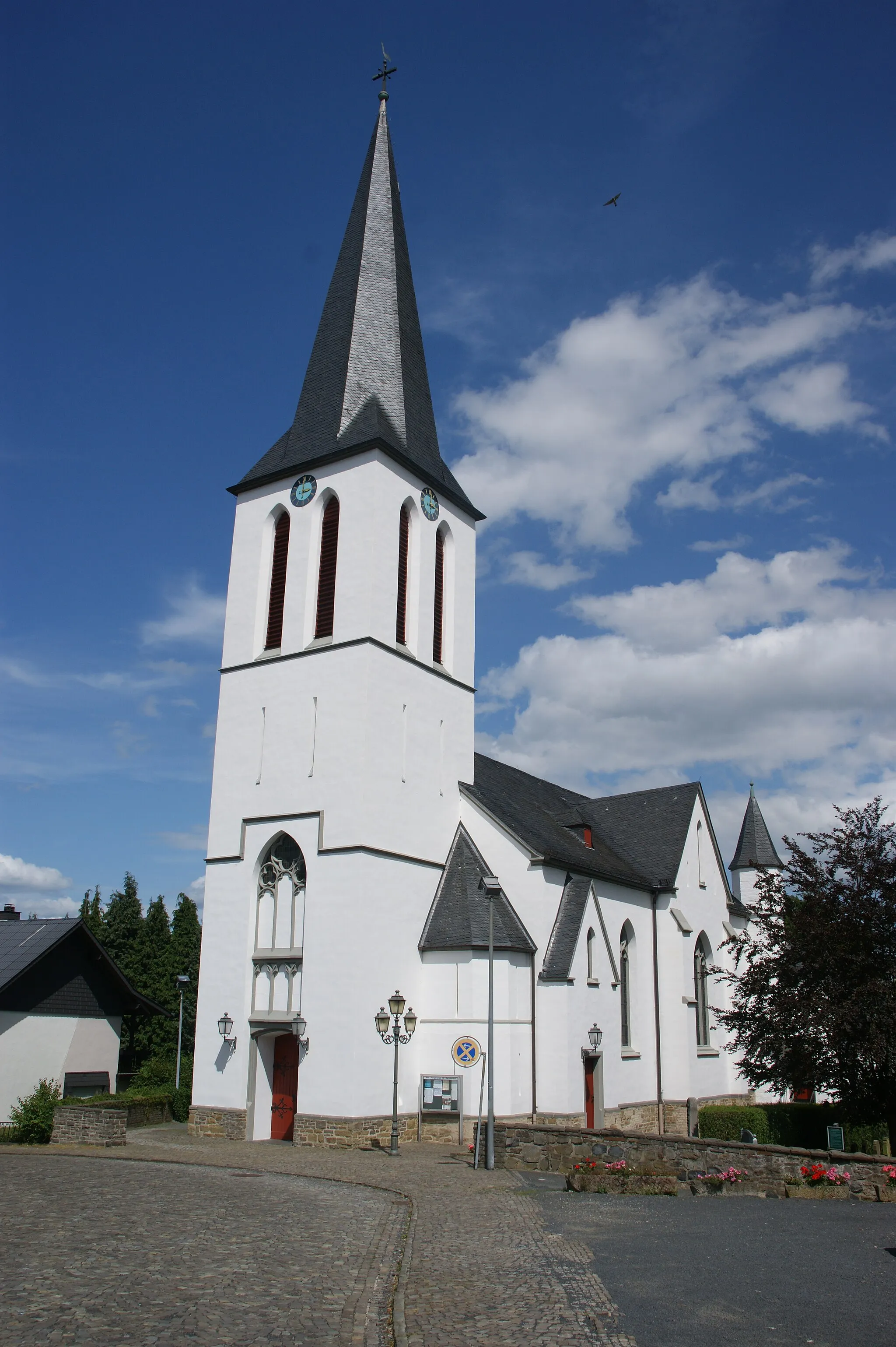
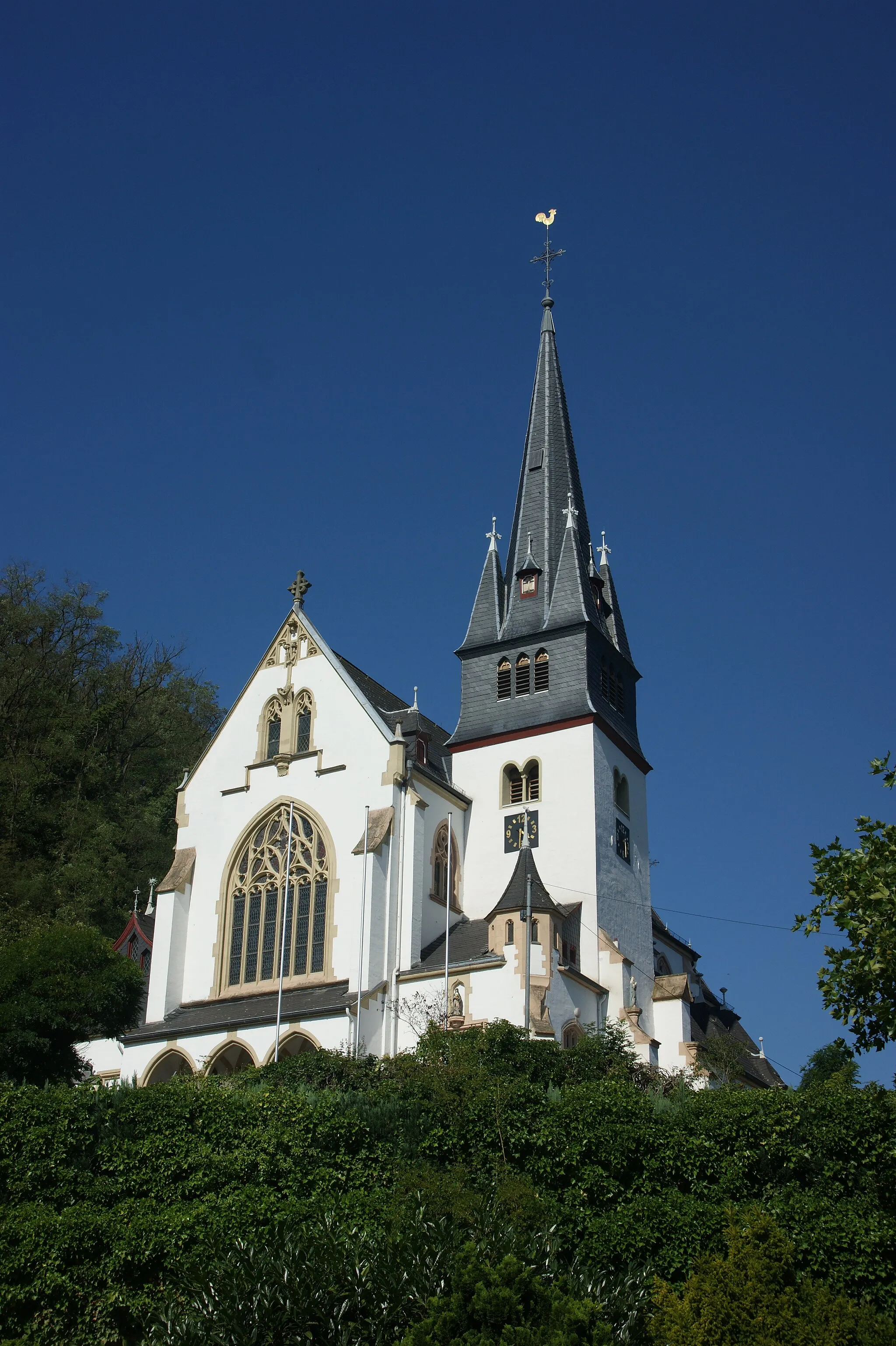
Start: Frohnen Village centerVettelschoß: Discover the cycling-friendly roads of Vettelschoß
Vettelschoß is a charming locality situated in Koblenz, Germany. Cyclists can enjoy riding through the idyllic landscapes and winding roads. Vettelschoß is known for its cycling-friendly infrastructure and well-maintained paths, making it a preferred destination for road and gravel cyclists. Nearby, you can find the famous Ahrtal climb, which is a challenging ascent with stunning views of the surrounding vineyards and hills.1 km
1 km
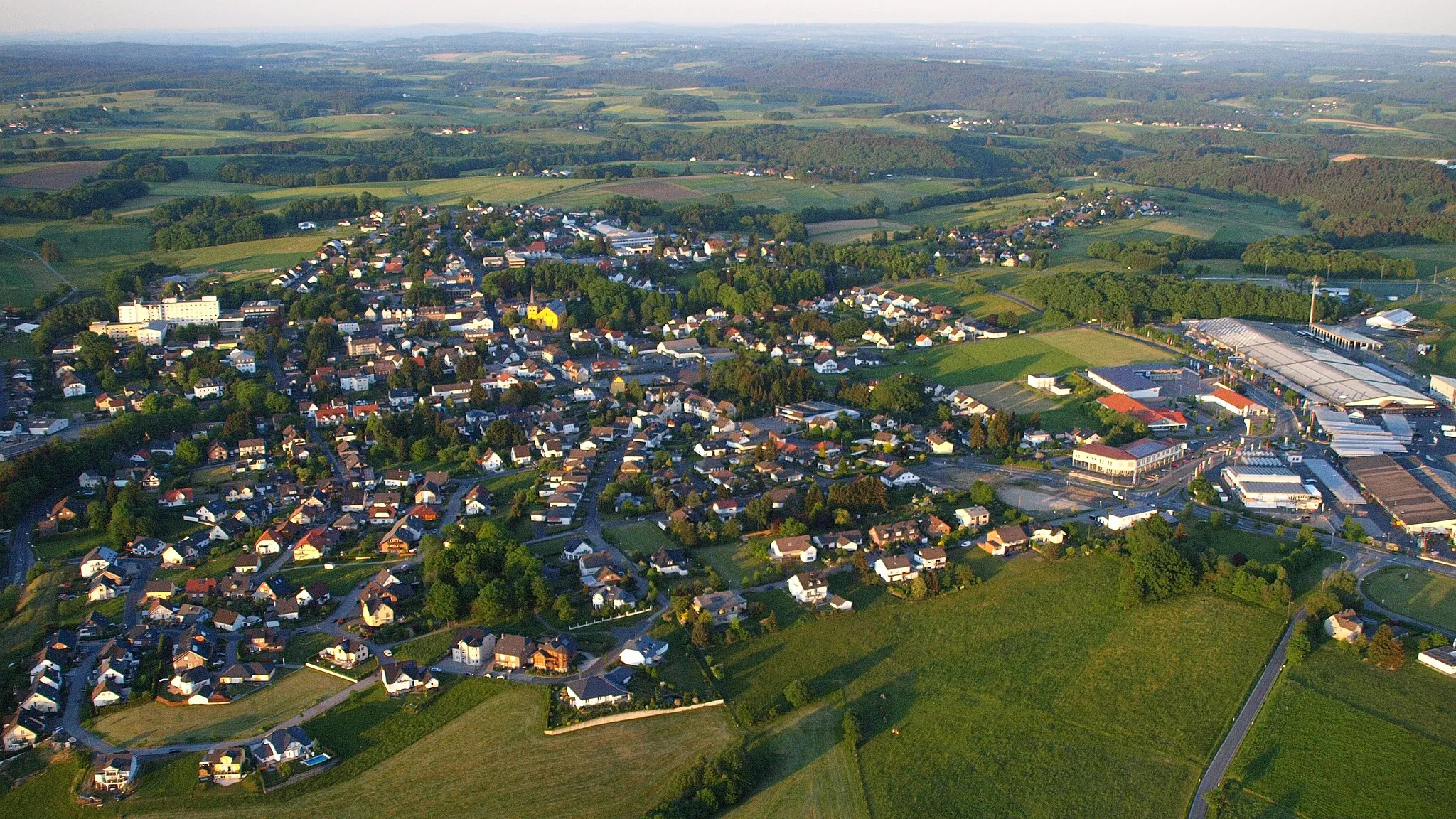
WindhagenVillageWindhagen is a small town surrounded by picturesque landscapes and enchanting forests. Explore the tranquil surroundings and immerse yourself in nature's beauty.
12 km
12 km
Kölsch-BüllesbachVillageKölsch-Büllesbach is a nature reserve known for its diverse flora and fauna. Ride through the reserve and appreciate the untouched beauty of this pristine habitat.
24 km
24 km
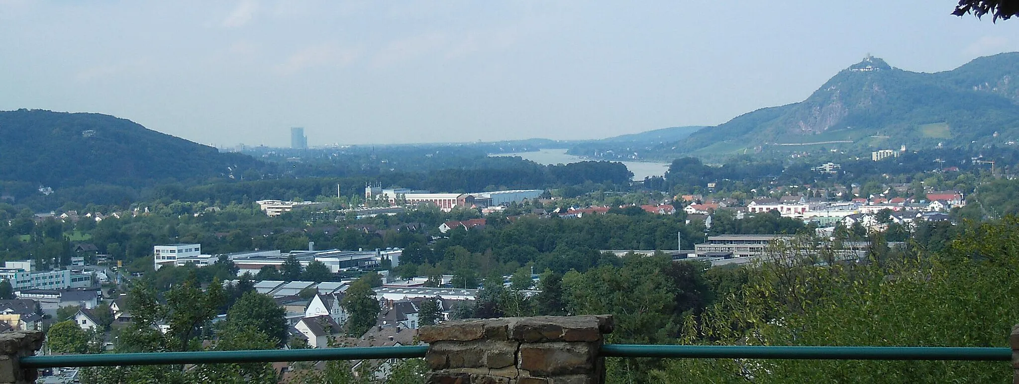
Stachelberg209 mPeak ViewpointStachelberg is a hilltop viewpoint offering panoramic vistas of the surrounding valleys and forests. Stop at this scenic spot and take in the breathtaking views before continuing your gravel adventure.
35 km
35 km
LüttershausenVillageLüttershausen is a quaint village with traditional timber-framed houses and charming streets. Experience the rural beauty as you pass through this idyllic location.
37 km
37 km
Hensberg253 mPeakHensberg is a hill with shady forests and peaceful surroundings. Take a break and enjoy the tranquility of this serene spot in the heart of nature.
46 km
46 km
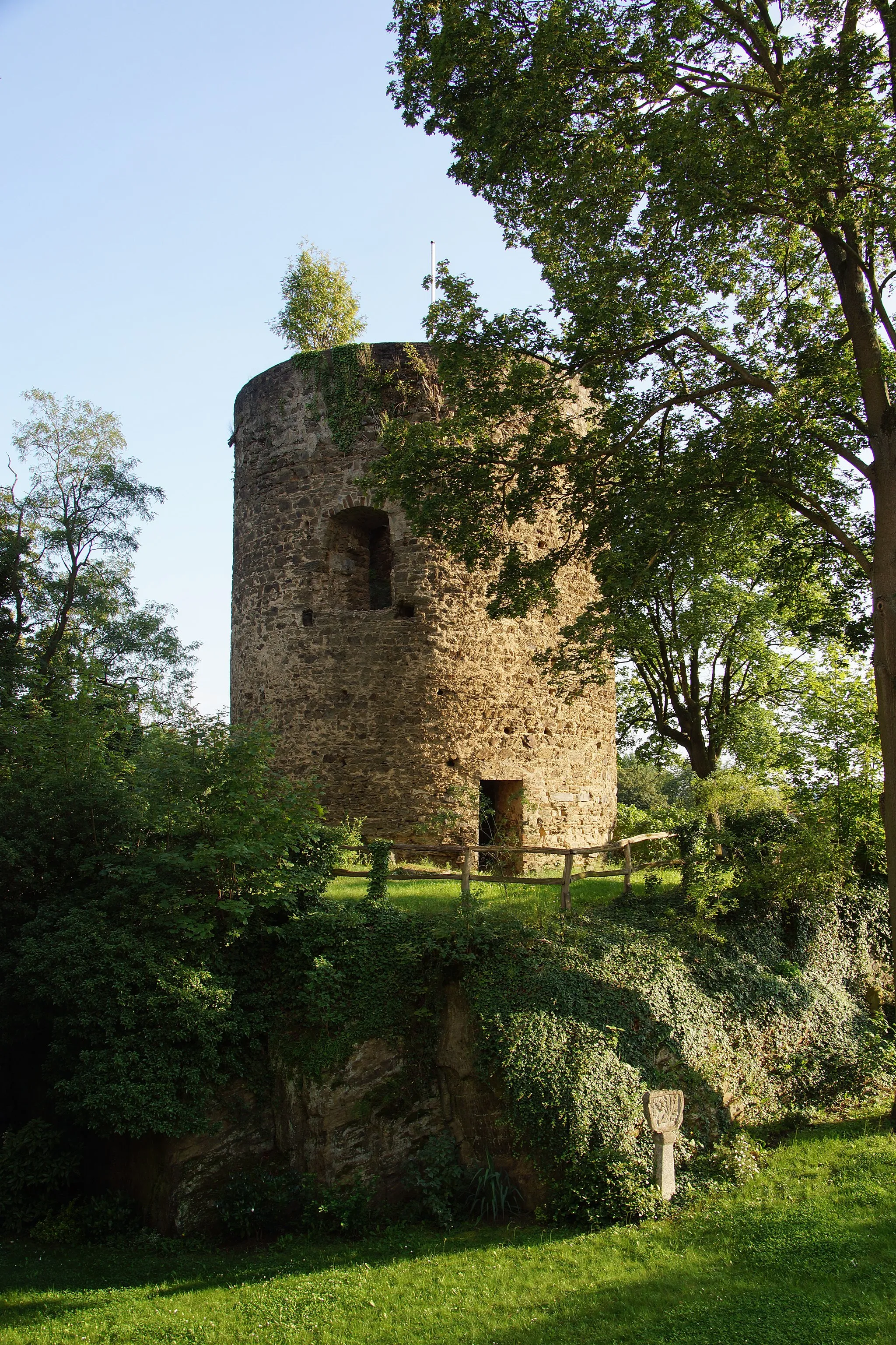
Hoher Schaden388 mPeakHoher Schaden is a natural gem featuring rocky outcrops and unique geological formations. Explore the area and marvel at the fascinating rock formations carved by thousands of years of natural forces.
51 km
51 km
KircheibVillageKircheib is a charming village with well-preserved half-timbered houses and a quaint atmosphere. Take a moment to soak in the rural beauty of this traditional German village.
58 km
58 km
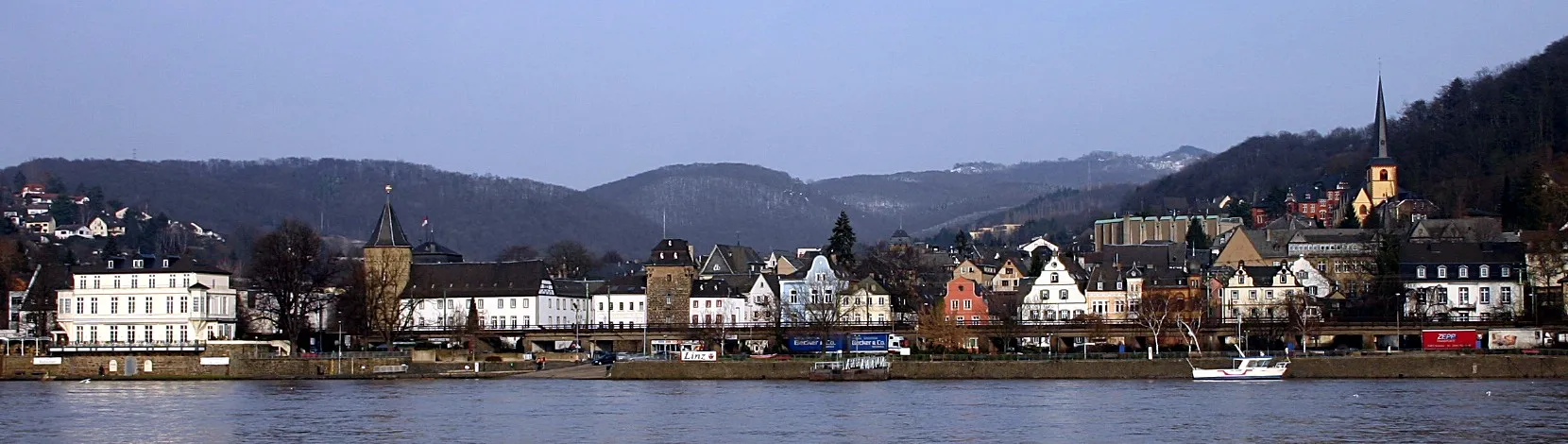
AsbachVillageAsbach is a peaceful town known for its beautiful forests and meandering rivers. Immerse yourself in nature as you cycle through this scenic area.
69 km
69 km
Finish: Frohnen Village centerVettelschoß: Discover the cycling-friendly roads of Vettelschoß
Cycling routes from Vettelschoss:
Road Cycling Delights from Vettelschoß Charming Villages and Historic Landmarks Westerwald Gravel Epic Vettelschoß Gravel Adventure The Hills and Views of Vettelschoß Stunning Gravel Ride Near Vettelschoß Vettelschoß Gravel Adventure Challenge and Scenic Beauty Gravel Adventure in Vettelschoß Vettelschoß Countryside Hamlets Scenic Road Cycling Tour near Vettelschoß The Ultimate Road Cycling Challenge near Vettelschoß Traversing Scenic Roads near Vettelschoß
Cycling routes nearby: