Gravel Adventure to Gauchsberg and Grieser Kopf
A gravel cycling route starting from Waldbockelheim
Dive into the gravel tracks and conquer the Gauchsberg and Grieser Kopf peaks.
Map
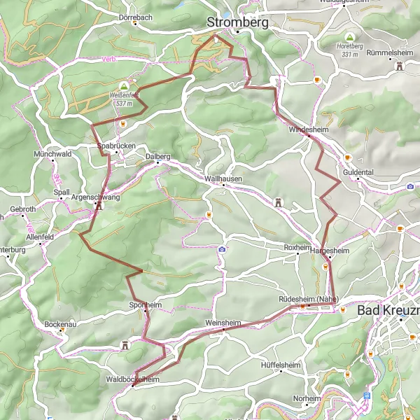
Embark on this gravel adventure through scenic landscapes and challenging terrain. With a distance of 48km and an ascent of 824m, this route will test your skills as you navigate through picturesque villages and rolling hills. Moderate difficulty level ensures that it is suitable for well-trained amateurs. Experience the thrill of conquering the Gauchsberg and Grieser Kopf peaks, offering stunning panoramic views at 8km and 47km respectively. The highlights along the route include the charming village of Argenschwang at 11km, the historical Weißenfels Castle at 18km, and the serene town of Windesheim at 30km.
gravel
48 km
824 m
Tough
Route profile
Highlights on the route
0 km
0 km
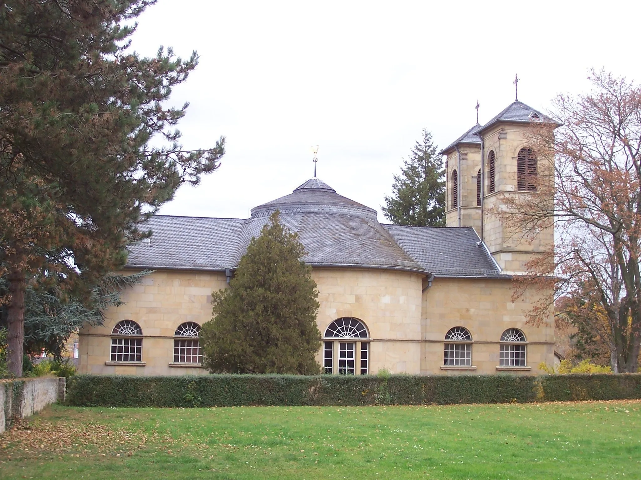
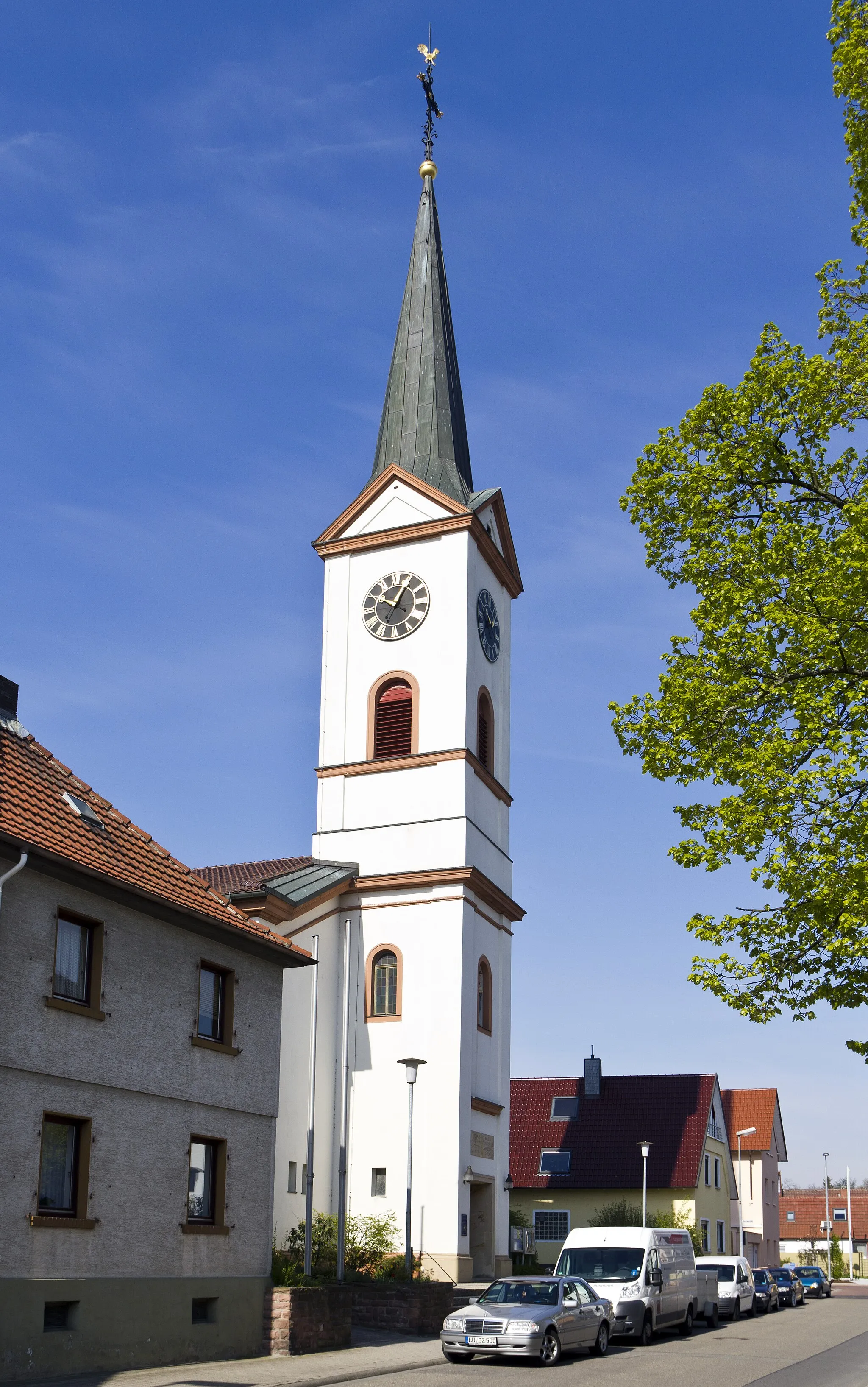
Start: Waldböckelheim Village centerWaldböckelheim: Hidden Gem in Koblenz, Germany
Waldböckelheim in Germany is a hidden gem for road and gravel cyclists. Nestled in the beautiful region of Koblenz, this locality offers stunning landscapes and challenging routes. Riders can test their skills on climbs like the Vrohletal or enjoy the tranquility of cycling through vineyards and forests. Waldböckelheim is close to the larger cycling hub of Koblenz, which provides easy access to additional cycling routes and amenities. With its combination of natural beauty and cycling opportunities, Waldböckelheim is a paradise for cyclists.8 km
8 km
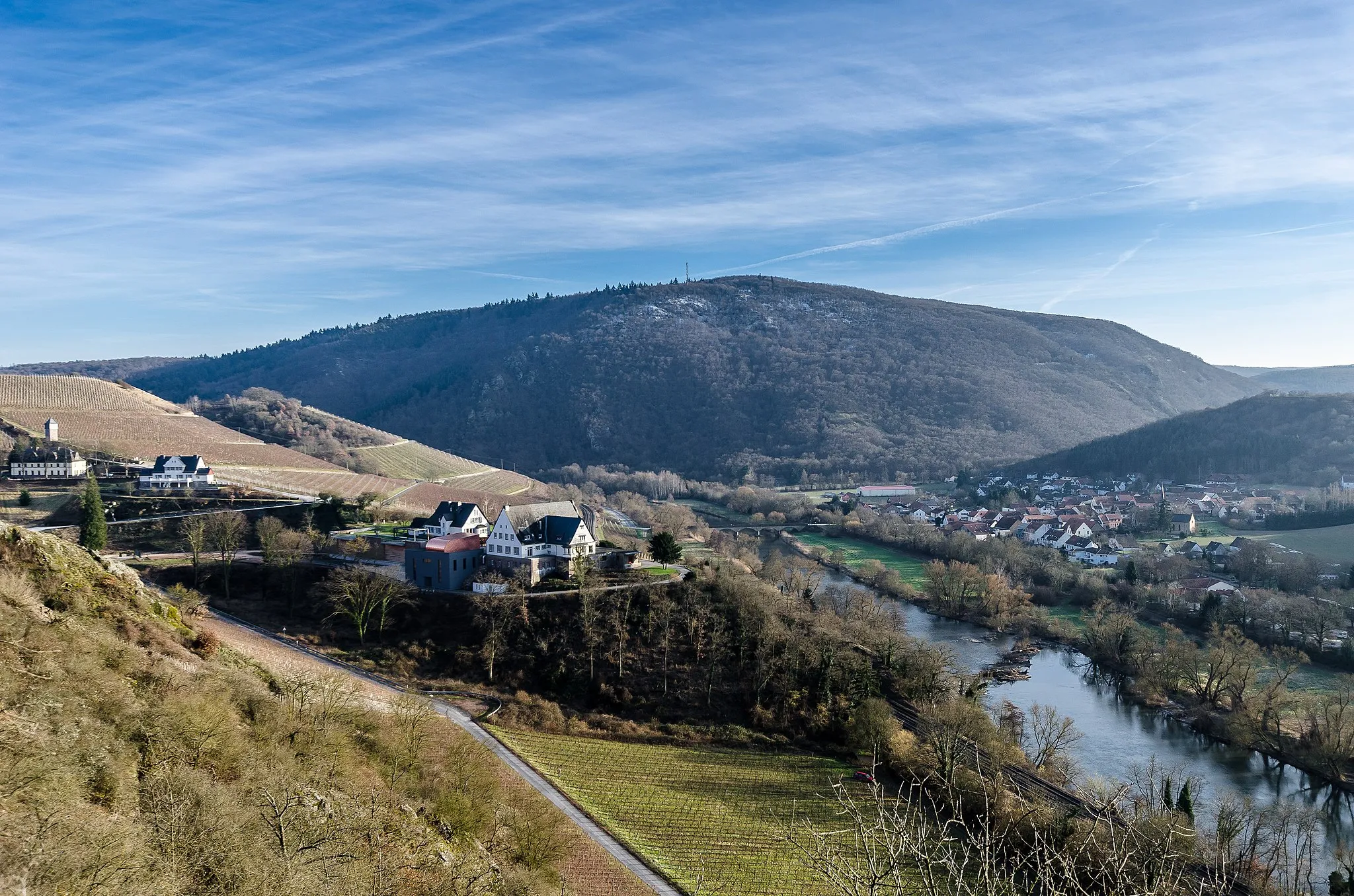
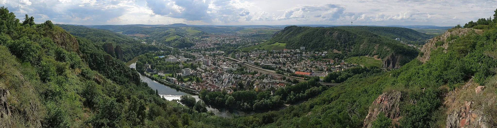
Gauchsberg437 mPeakAt 8km, you'll reach Gauchsberg, a mythical peak known for its breathtaking panoramic views.
11 km
11 km
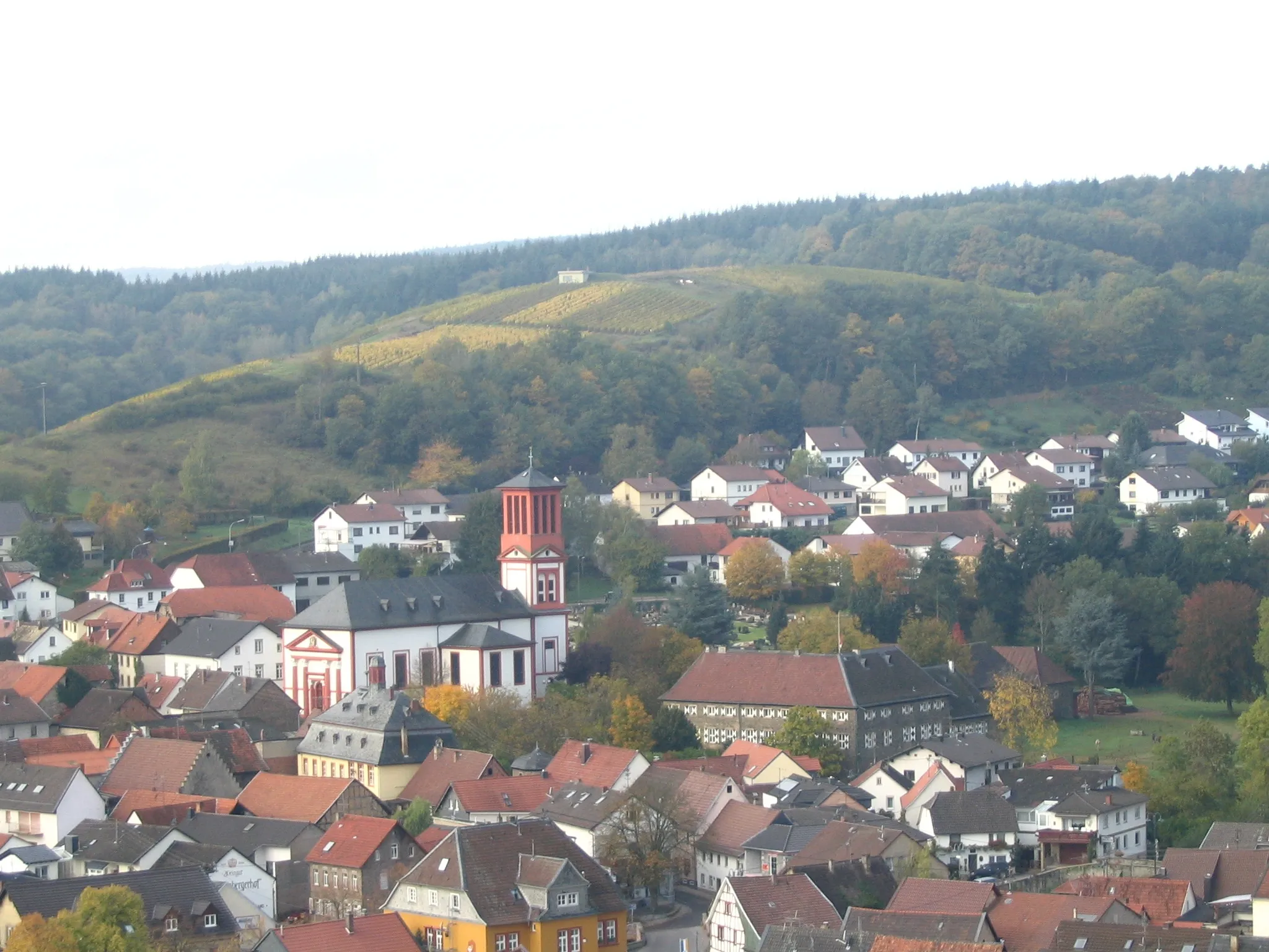
ArgenschwangVillageStop at 11km to explore the idyllic village of Argenschwang, with its narrow streets and traditional timbered houses.
18 km
18 km
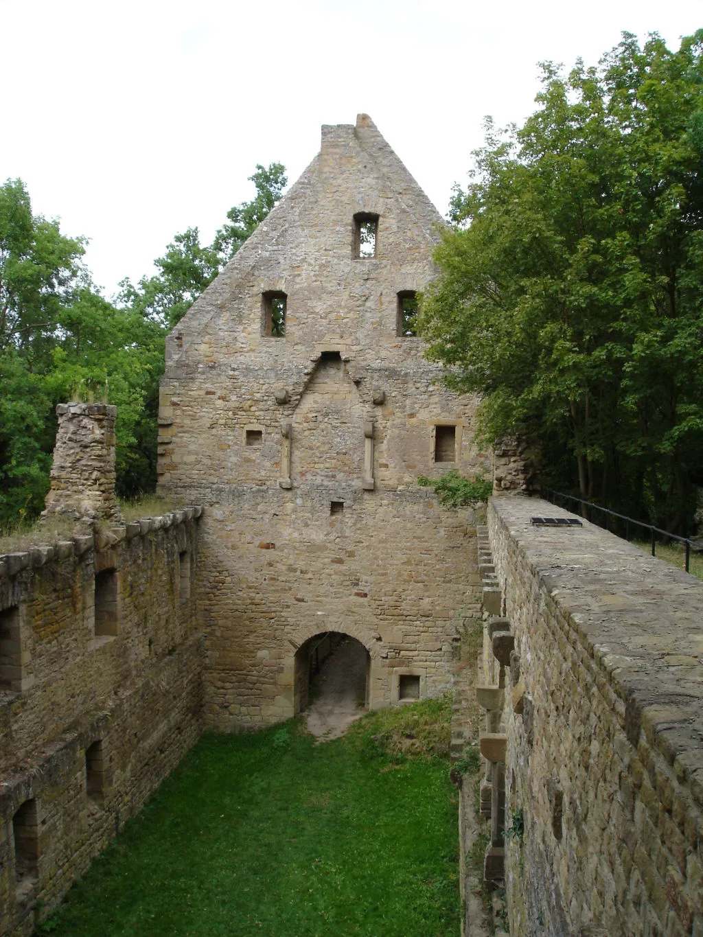
Weißenfels537 mPeakVisit the impressive Weißenfels Castle located at 18km, surrounded by lush greenery and offering a glimpse into the region's rich history.
30 km
30 km
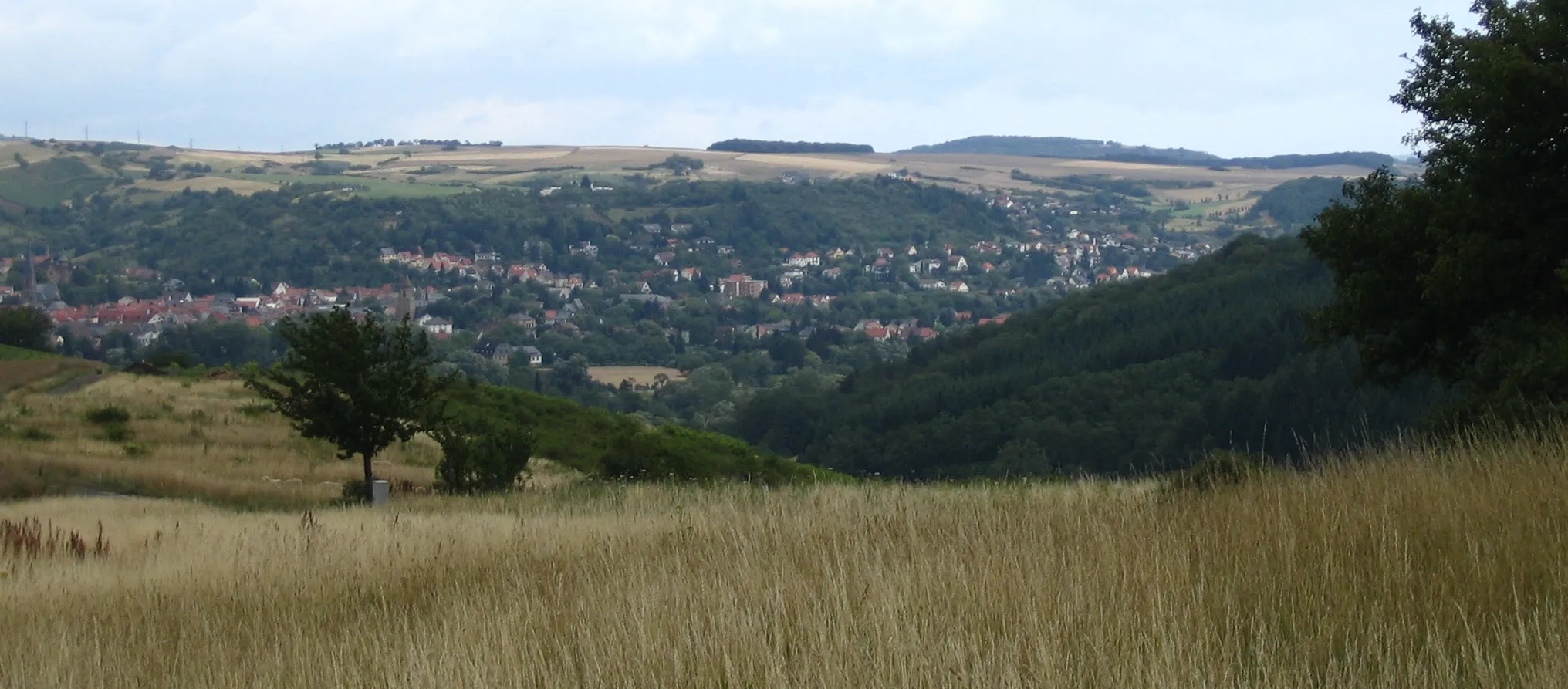
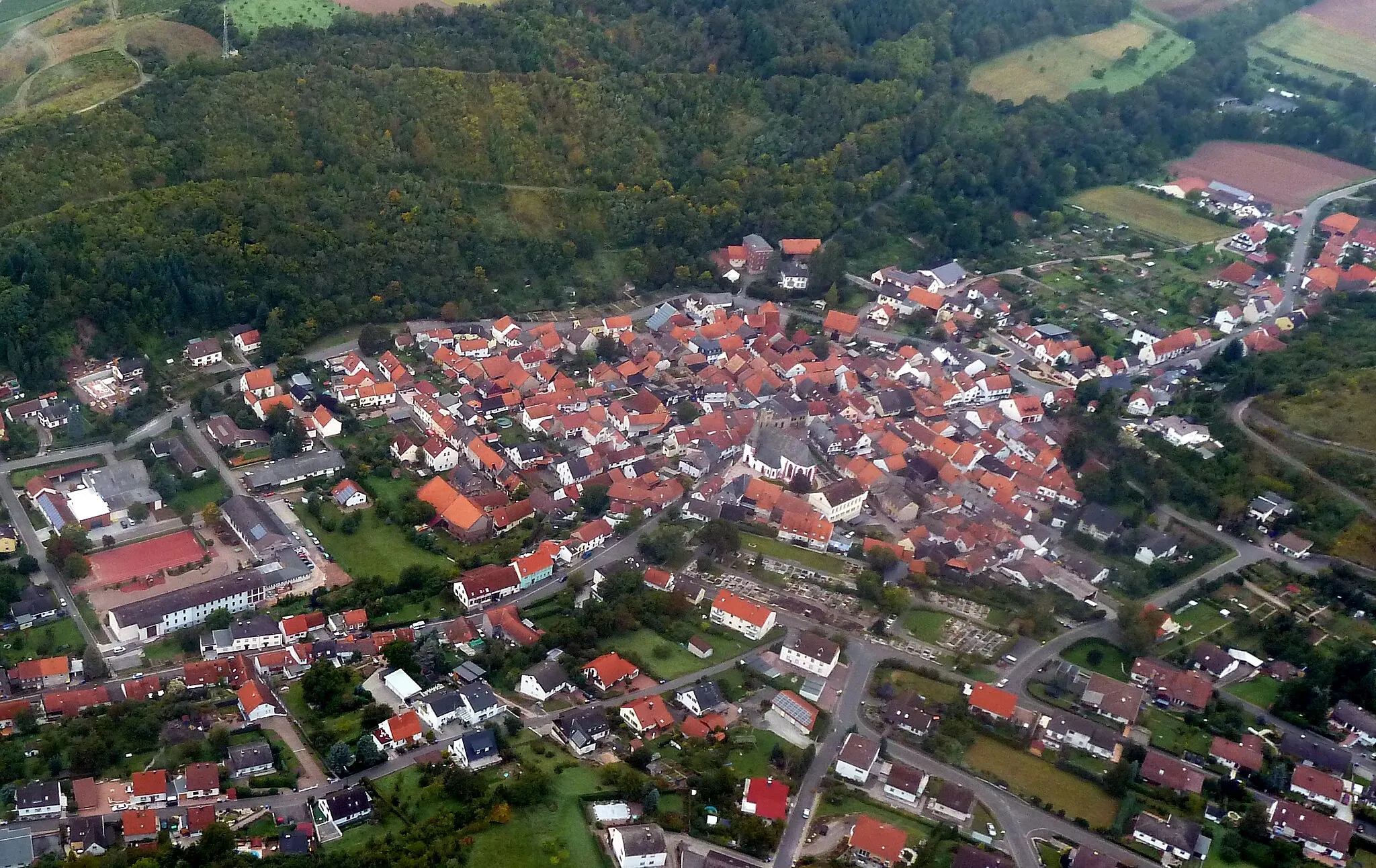
WindesheimVillageWindesheim, at 30km, is a charming town where you can take a peaceful break and soak in the atmosphere.
37 km
37 km
HargesheimVillageAt 37km, you'll pass through Hargesheim, a picturesque village with quaint cottages and stunning landscapes.
39 km
39 km
Lohrer Köpfe177 mPeakLohrer Köpfe at 39km offers breathtaking views of the surrounding nature and is a perfect spot for a picnic.
47 km
47 km
Grieser Kopf223 mPeakGrieser Kopf at 47km is a challenging climb but rewards you with magnificent vistas of the surrounding countryside.
48 km
48 km
Finish: Waldböckelheim Village centerWaldböckelheim: Hidden Gem in Koblenz, Germany
Cycling routes from Waldbockelheim:
Welschberg Road Loop Bad Sobernheim Gravel Loop Gravel Adventure to Gauchsberg and Grieser Kopf Welschberg and Kahlenberg Gravel Circuit Waldböckelheim and Bad Kreuznach Road Loop Würzweiler Gravel Adventure Bad Sobernheim and Kahlenberg Gravel Loop Domberg and Daubach Road Route Road Cycling Challenge to Drosselfels and Heimbergturm Gauchsberg and Lorch Gravel Adventure Waldböckelheim Round-Trip Cycling Route
Cycling routes nearby: