The Gravel Adventure
A gravel cycling route starting from Waldbreitbach
Discover the enchanting path through Kronenberg and Bad Hönningen on this gravel route near Waldbreitbach.
Map
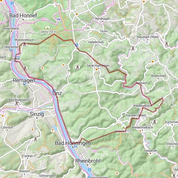
Embark on a thrilling gravel adventure starting near Waldbreitbach. The route takes you through scenic landscapes, including the picturesque towns of Kronenberg and Bad Hönningen. With an ascent of 968 meters and a distance of 56 kilometers, this route offers a moderate challenge suitable for well-trained amateurs.
gravel
56 km
968 m
Tough
Route profile
Highlights on the route
0 km
0 km
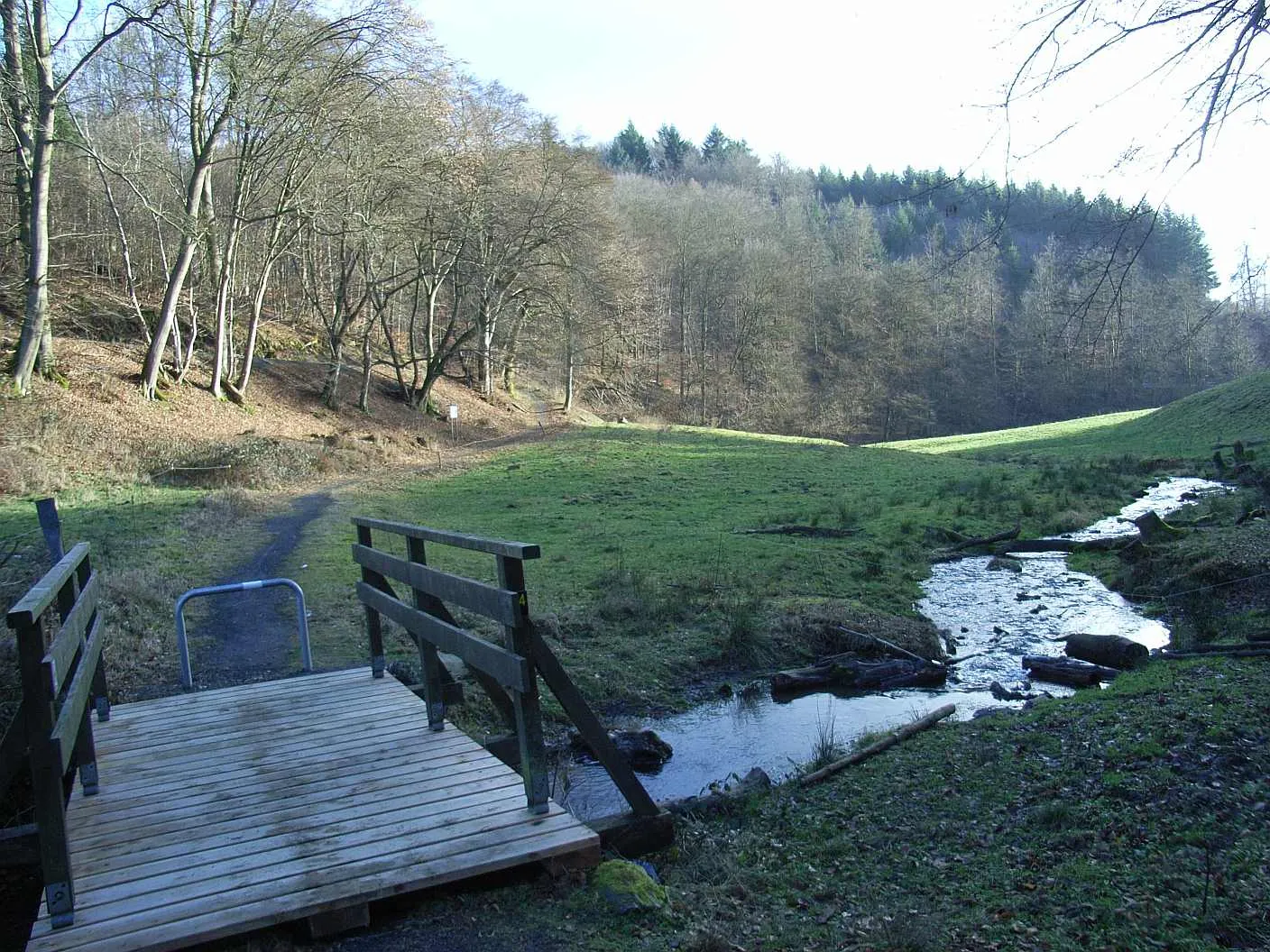
Start: Wüscheid Village centerWaldbreitbach: Conquer the stunning cycling routes of Waldbreitbach in Koblenz, Germany.
Waldbreitbach in Koblenz, Germany, is a popular destination for road and gravel cyclists. The region offers a mix of challenging climbs and scenic routes that allow cyclists to explore the beautiful surroundings. Cyclists visiting Waldbreitbach can enjoy riding through the rolling hills of the Westerwald, which provide breathtaking views of the Rhine Valley. One of the well-known cycling spots nearby is the Wiedtal, a picturesque valley with a variety of cycling routes suitable for different skill levels. With its diverse terrain and cycling-friendly infrastructure, Waldbreitbach is highly recommended for cyclists looking to challenge themselves and immerse in nature.10 km
10 km
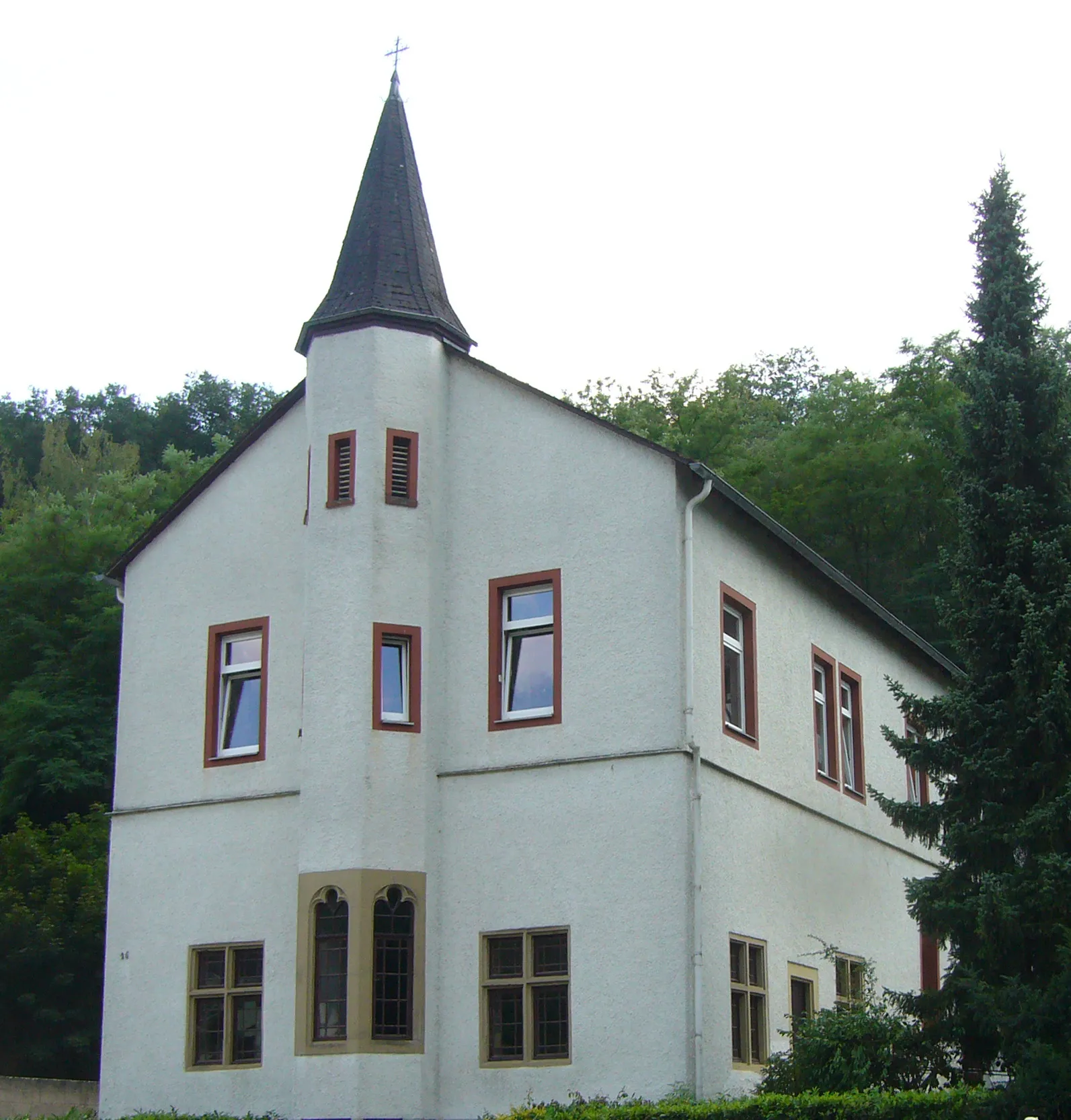
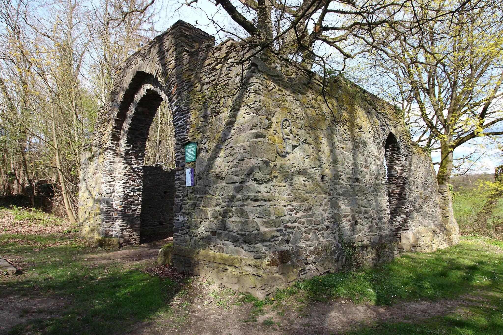
Kronenberg211 mPeakDuring the adventure, you will pass through the charming village of Kronenberg, known for its historic buildings and traditional charm.
12 km
12 km
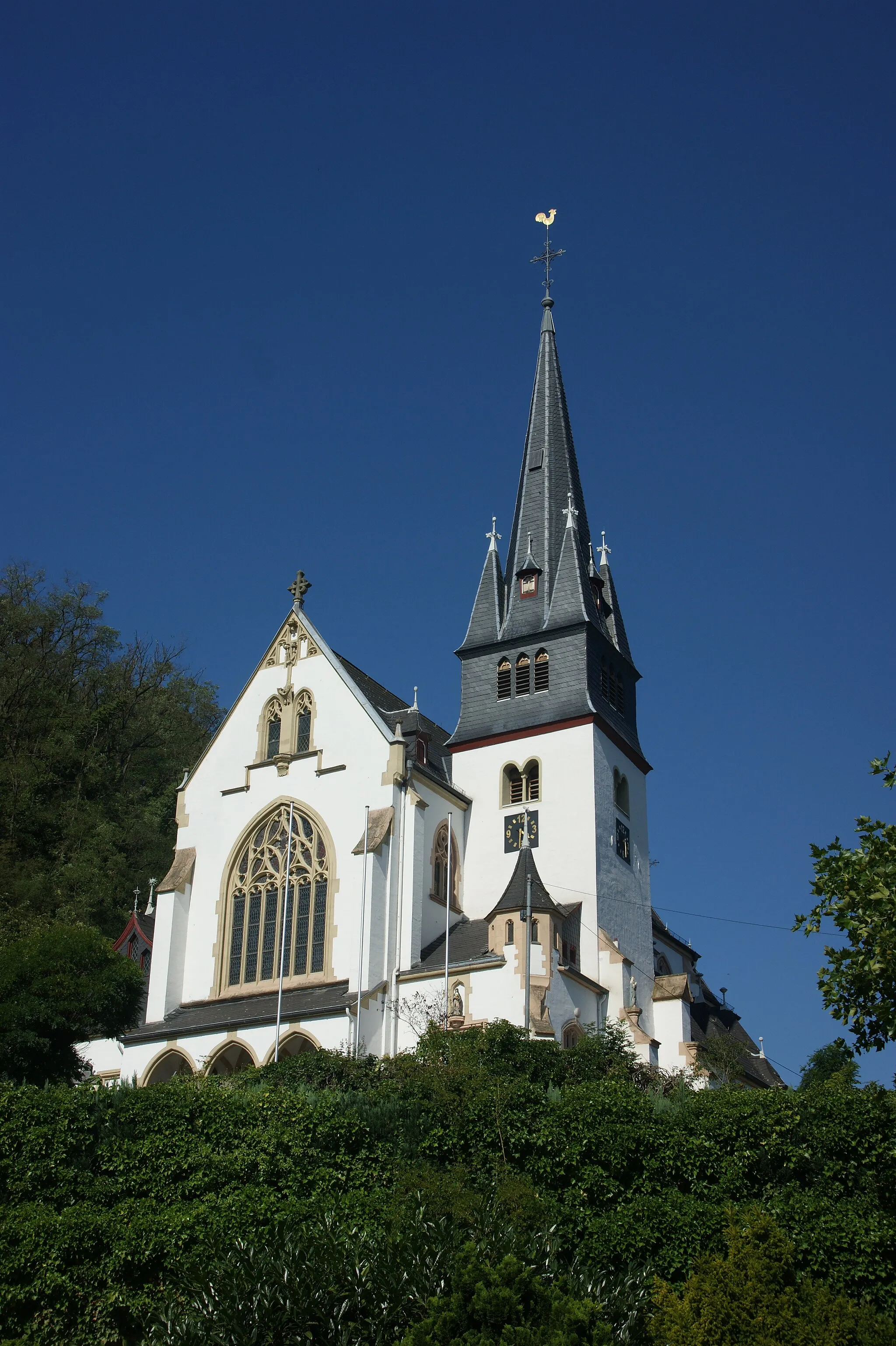
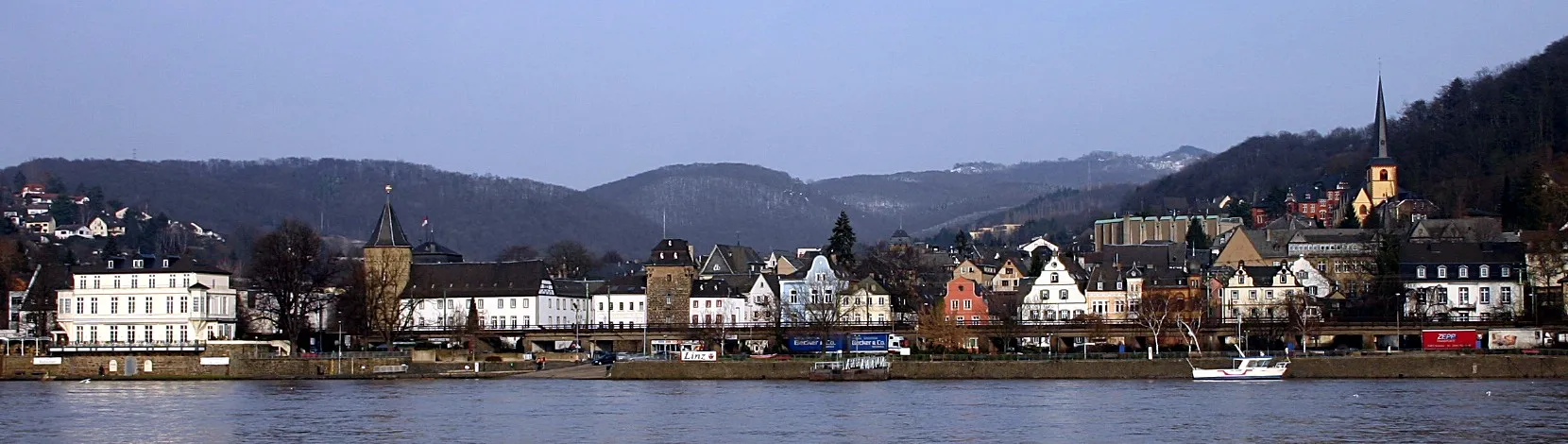
Bad HönningenTownMake a stop at Bad Hönningen and enjoy the stunning views of the Rhine River from the famous Drachenfels Castle.
22 km
22 km
Erpeler Ley191 mPeakClimb up to the Erpeler Ley and admire the breathtaking panoramic views of the Rhine Valley.
26 km
26 km
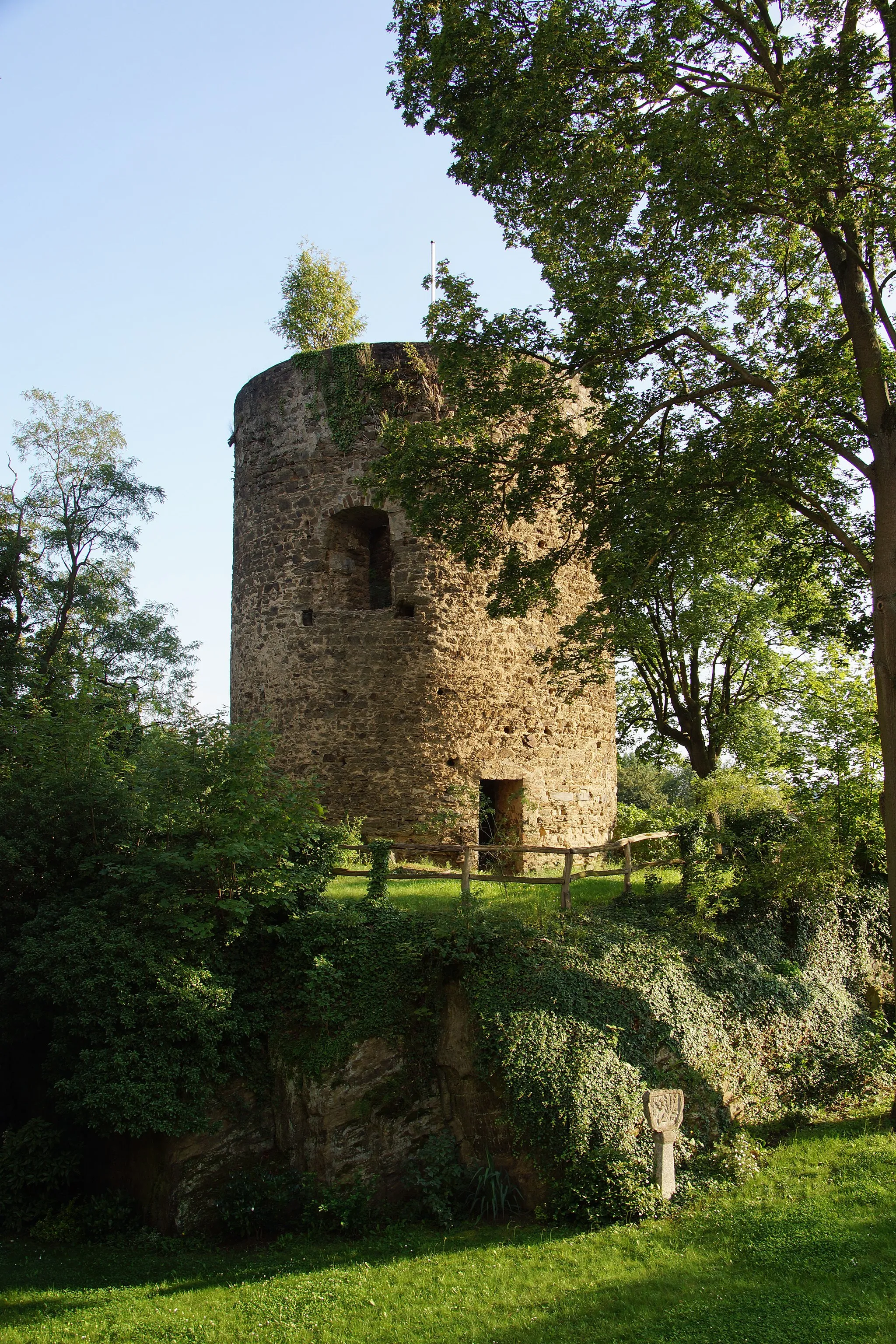
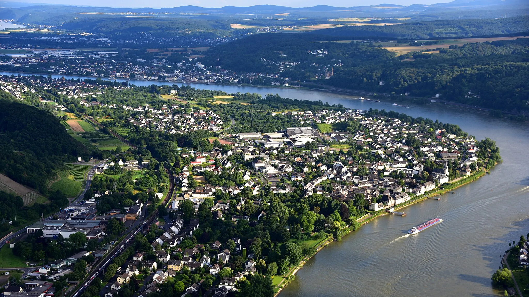
UnkelVillageThe route takes you through Unkel, a picturesque town with half-timbered houses and picturesque streets.
35 km
35 km
Asberg435 mPeakAsberg offers a beautiful setting for a short break, with its idyllic surroundings and charming architecture.
40 km
40 km
Sankt KatharinenVillageSankt Katharinen is a hidden gem along the route, known for its beautiful churches and peaceful atmosphere.
48 km
48 km
RoßbachVillageRoßbach is worth a stop for its rural charm and the opportunity to rest before continuing your journey.
52 km
52 km
Bärenkopf304 mPeakBärenkopf is a must-visit highlight, offering stunning panoramic views of the surrounding countryside.
56 km
56 km
Finish: Wüscheid Village centerWaldbreitbach: Conquer the stunning cycling routes of Waldbreitbach in Koblenz, Germany.
Cycling routes nearby: