Adventure in the Wilderness
A gravel cycling route starting from Weibern
Embark on an exciting gravel cycling adventure in the wild landscapes near Weibern
Map
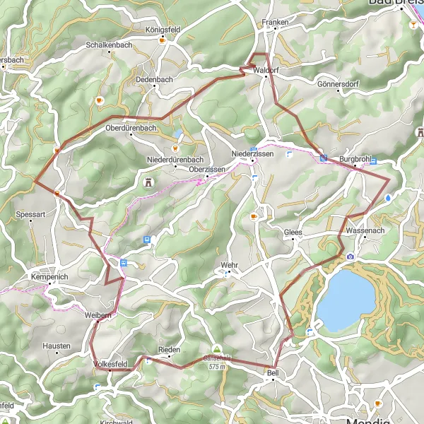
Get ready for an adrenaline-pumping gravel cycling experience through the untamed wilderness near Weibern, Koblenz. With a distance of 47 kilometers and an ascent of 1116 meters, this route combines thrilling off-road sections with charming countryside scenery. Be prepared to navigate through narrow trails and conquer challenging terrain as you explore the hidden gems of this region.
gravel
47 km
1116 m
Tough
Route profile
Highlights on the route
0 km
0 km
Start: Volkesfeld Village centerWeibern: Scenic vineyards and cultural attractions near the Deutsches Eck monument.
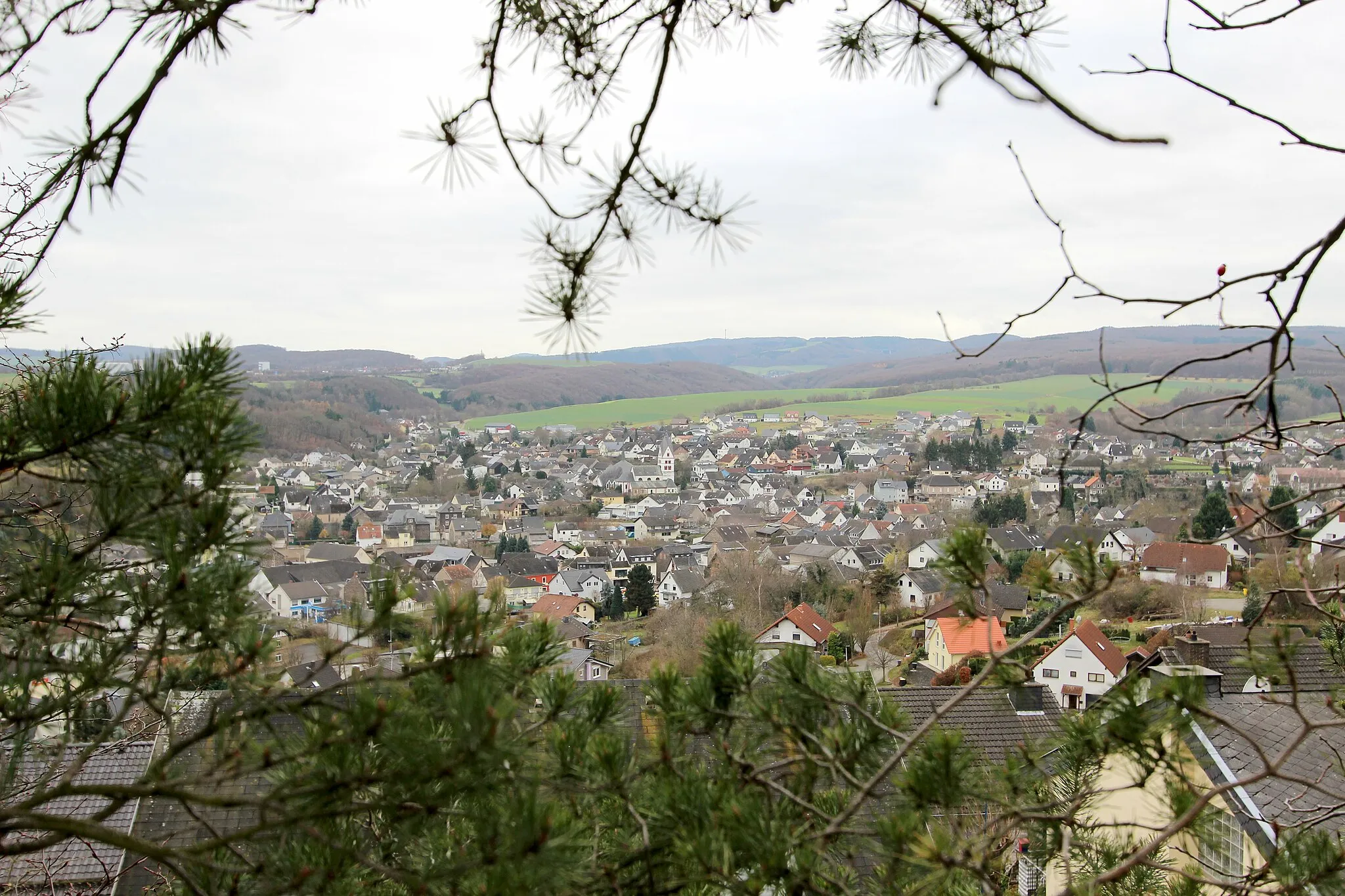
Weibern is a municipality situated in Koblenz, Germany. As a cyclist exploring Weibern, you'll find yourself riding through picturesque vineyards, charming villages, and captivating riverside landscapes. The region offers diverse cycling routes suitable for all levels, whether you prefer road or gravel biking. Nearby, you can visit the iconic Deutsches Eck monument where the Rhine and Moselle Rivers meet. Weibern offers a delightful combination of cycling adventures and cultural attractions, making it an appealing destination for cyclists and tourists alike.2 km
2 km
WeibernVillageWeibern is the starting point of this adventurous route. From here, you will venture into the wilderness, encountering untrodden paths and remote landscapes throughout the journey.
11 km
11 km
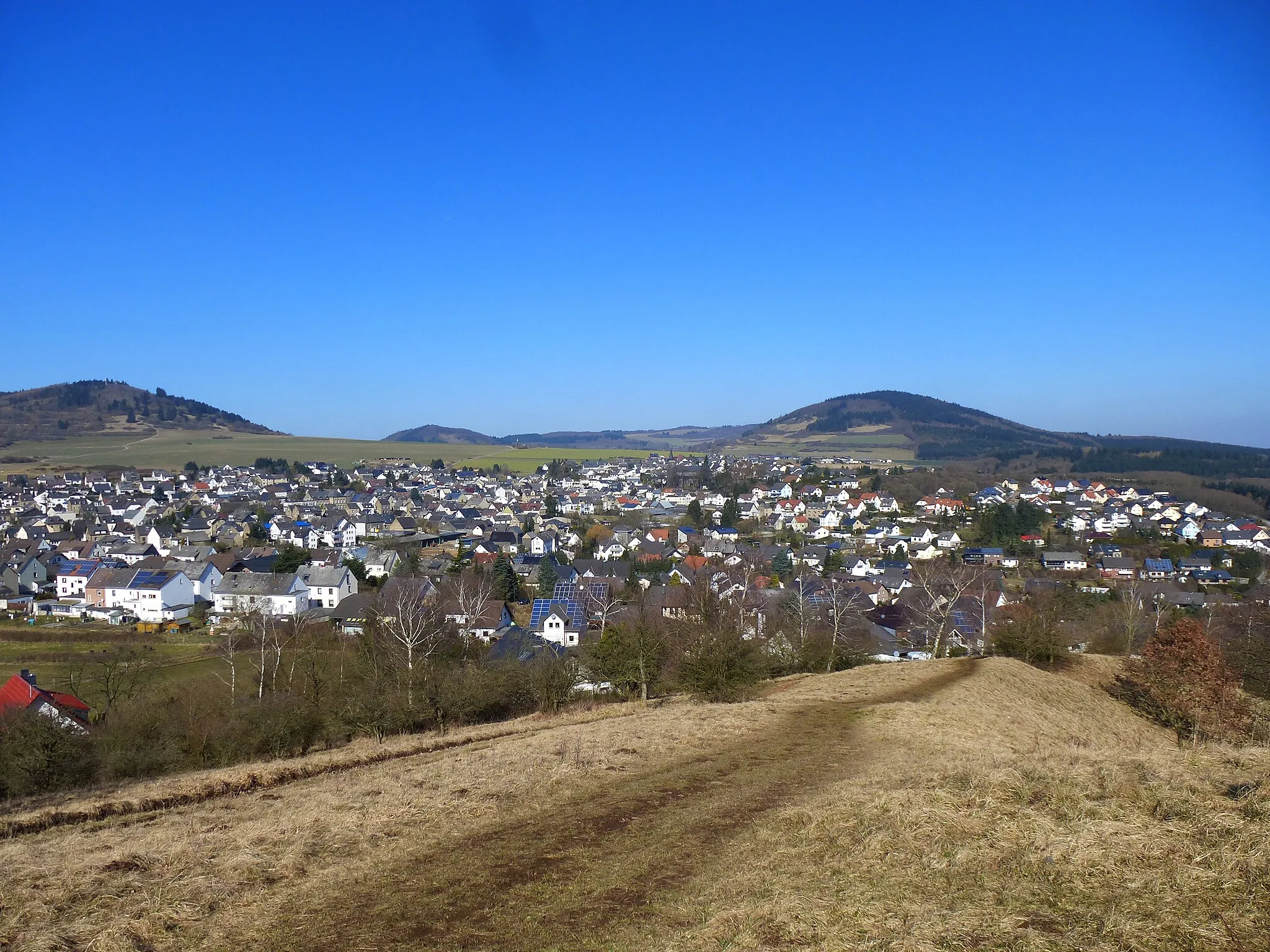
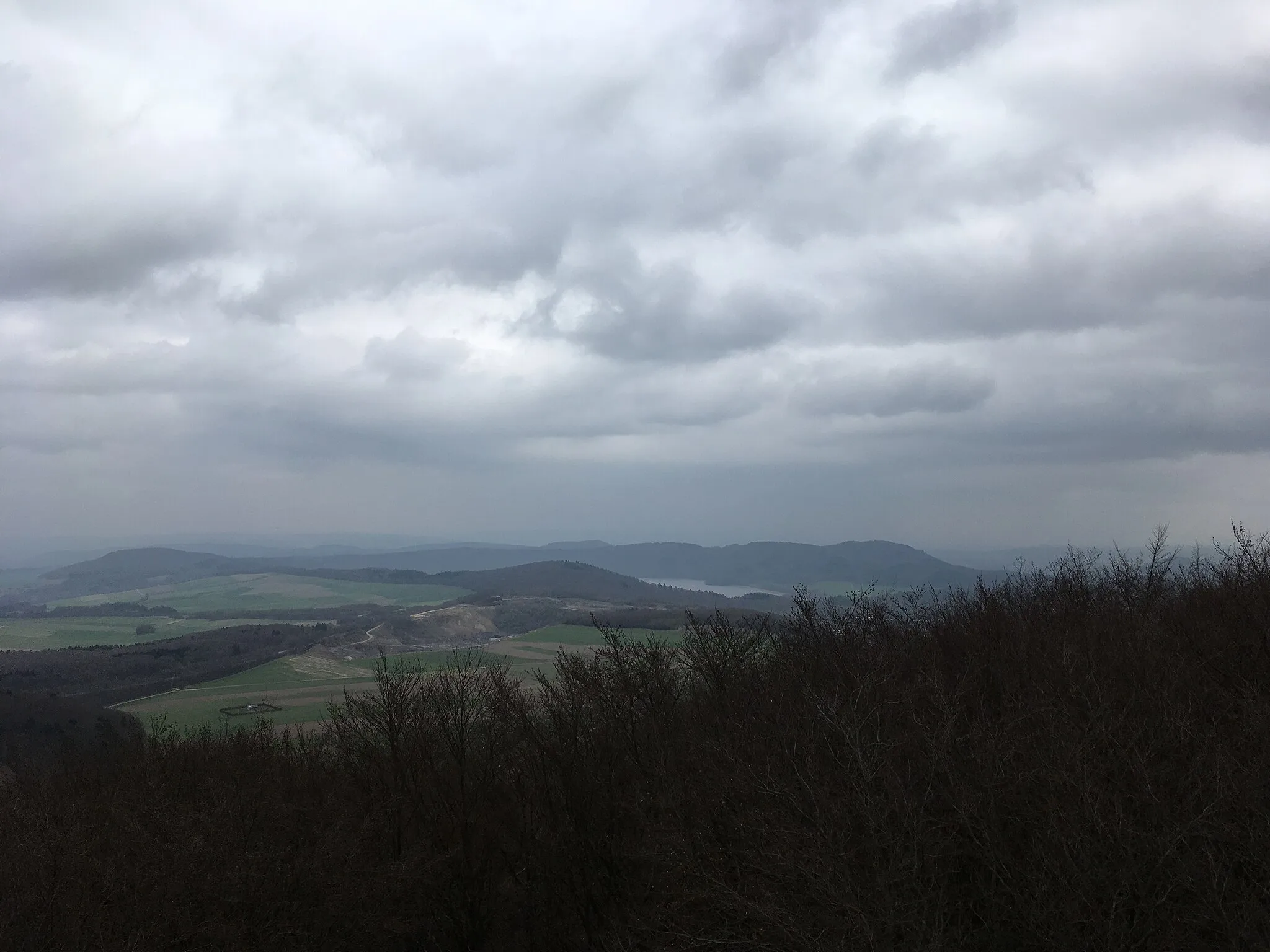
Schneppsheid595 mPeakSchneppsheid is a small hamlet nestled in the heart of nature, offering a serene atmosphere and glimpses of local wildlife.
28 km
28 km
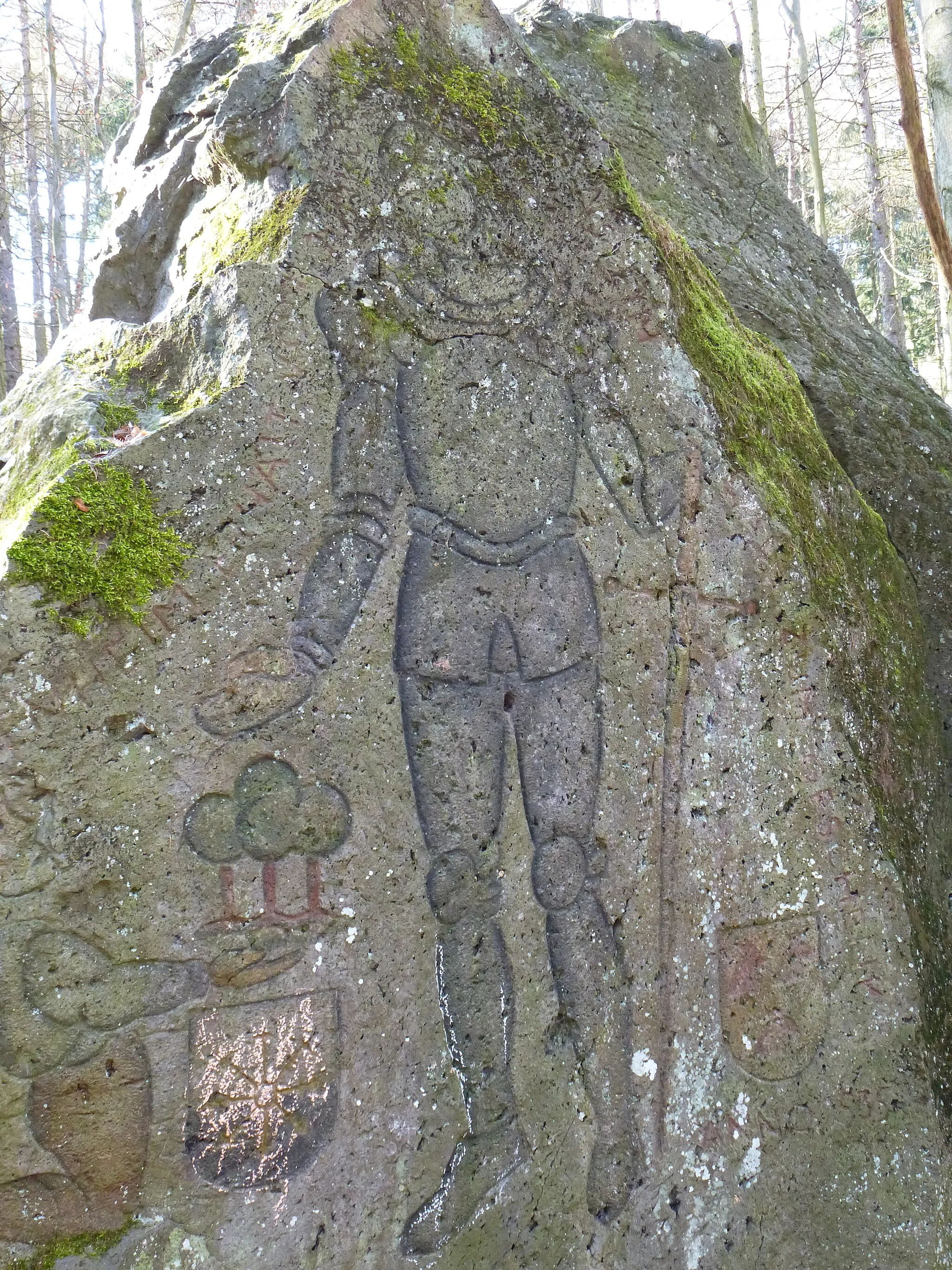
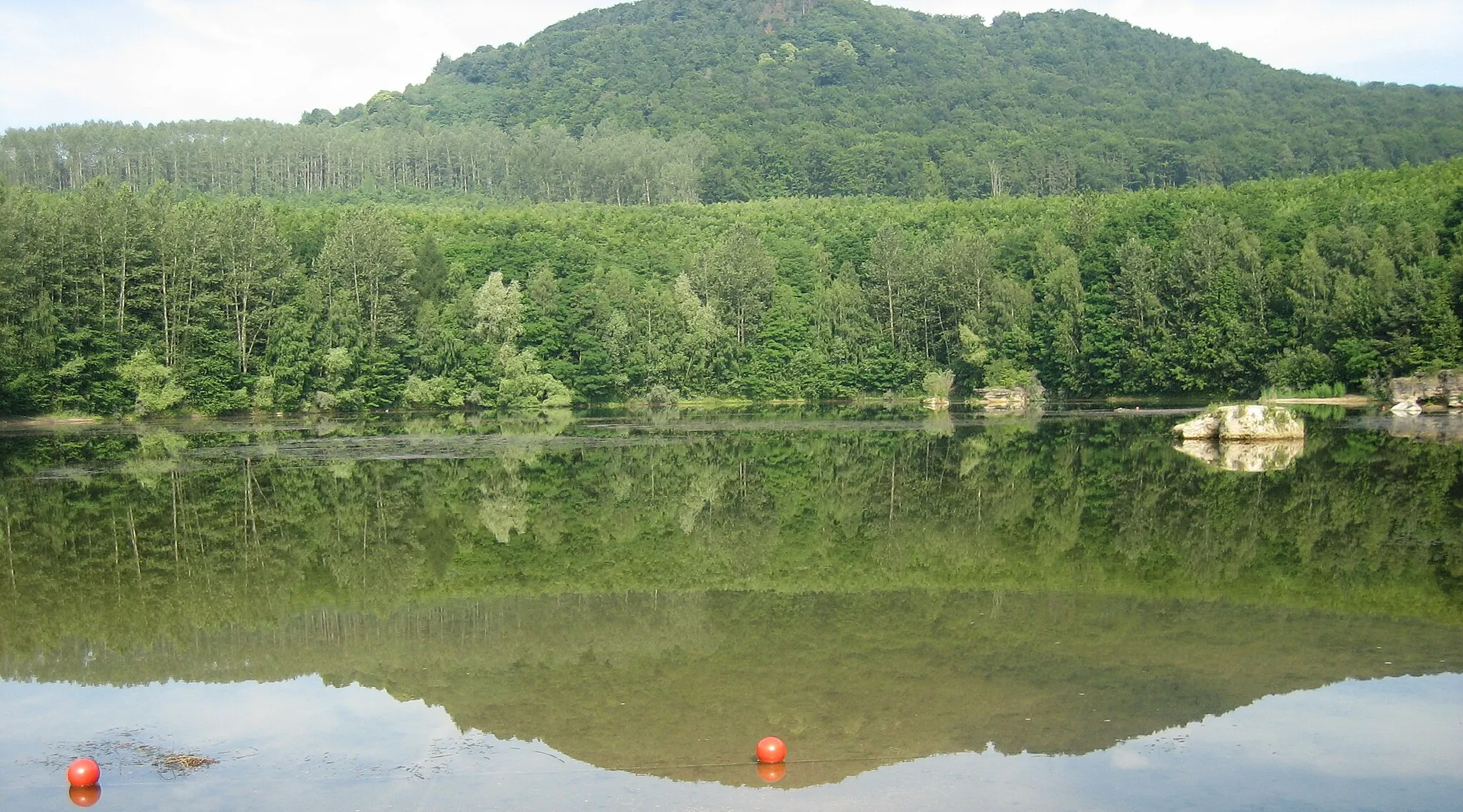
BurgbrohlVillageBurgbrohl is home to a historic castle that once served as a stronghold for medieval nobility. Explore the ruins and let your imagination roam back in time.
29 km
29 km
Teufelsknochen163 mPeakTeufelsknochen, translated as 'Devil's Backbone,' is a rocky ridge that presents a challenging ascent. Conquer this tough section and revel in the breathtaking views from the top.
40 km
40 km
BellVillageBell is a charming village known for its traditional half-timbered houses and idyllic countryside. Take a delightful break here and immerse yourself in the soothing ambiance.
43 km
43 km
Gänsehals575 mPeakGänsehals is a hilly area where you can experience the thrill of navigating demanding ascents and descents. Push yourself to the limit and conquer this challenging section.
47 km
47 km
Finish: Volkesfeld Village centerWeibern: Scenic vineyards and cultural attractions near the Deutsches Eck monument.
Cycling routes nearby: