Winningen Explorer Gravel Trail
A gravel cycling route starting from Winningen
Embark on a rugged gravel adventure through the heart of Winningen and its scenic surroundings.
Map
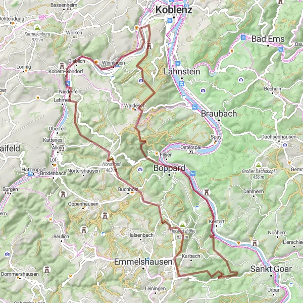
Get off the beaten path and discover the untamed beauty of Winningen and its scenic surroundings on this challenging gravel trail. With a steep ascent of 1,492 meters stretched over 79 kilometers, this route is only recommended for experienced gravel cyclists. From historic towns like Waldesch to picturesque viewpoints such as Boppard, each highlight offers a unique glimpse into the region's natural and cultural heritage. Experience thrilling descents, conquer demanding climbs, and soak up the stunning landscapes along the way. Whether you're a gravel enthusiast or a history buff, this adventure promises an unforgettable journey through Germany's unspoiled beauty.
gravel
79 km
1492 m
Savage
Route profile
Highlights on the route
0 km
0 km
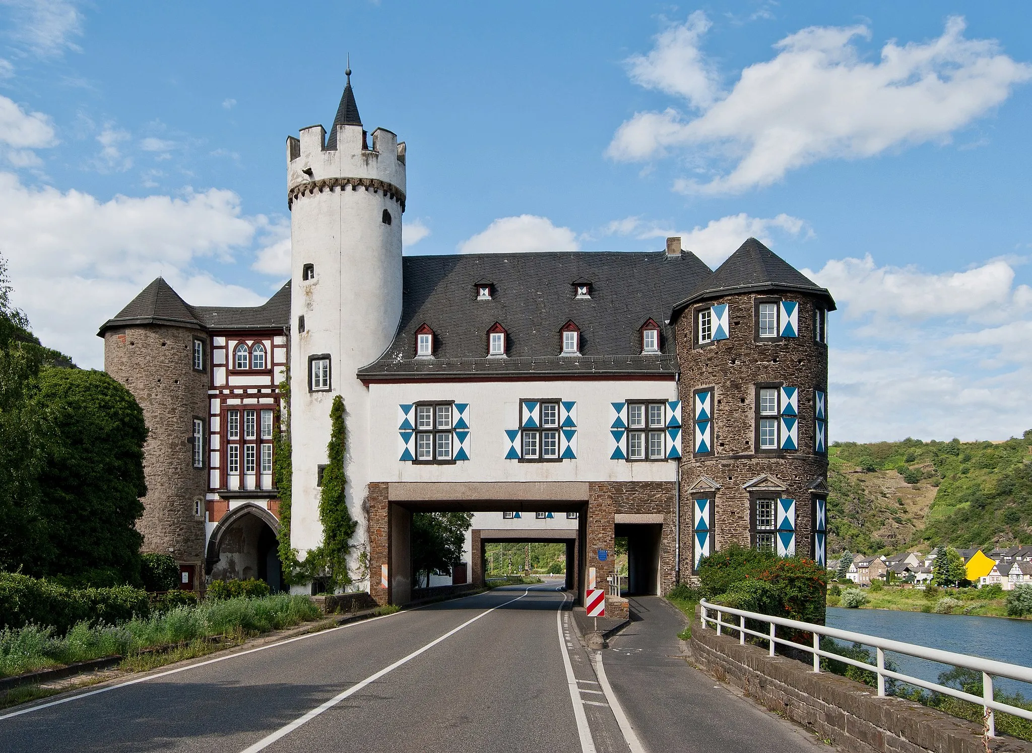
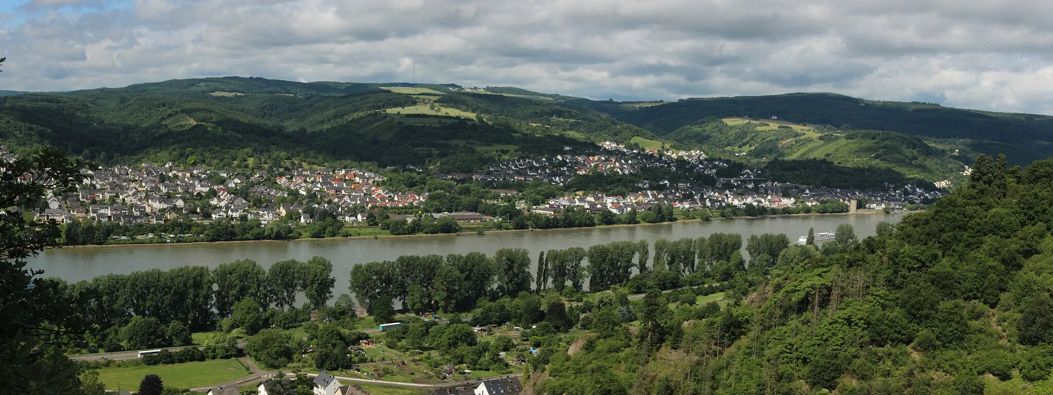
Start: Winningen Village centerWinningen: Picturesque cycling along the Moselle river in Koblenz
Winningen, situated in Koblenz, Germany, offers a delightful cycling experience for both road and gravel cyclists. The town is located along the banks of the Moselle river and surrounded by picturesque vineyards and rolling hills. Cyclists can enjoy scenic rides along the river, taking in the beauty of the surroundings. Some popular cycling routes in the area include the Mosel-Radweg and the Vulkanradweg. While Winningen doesn't boast any famous cycling spots or well-known climbs, its idyllic setting and cycling-friendly atmosphere make it an appealing choice for riders of all levels.0 km
0 km
Elling281 mPeakElling, the starting point of the trail, welcomes cyclists with its charming rural atmosphere and beautiful vineyards, setting the stage for an epic gravel adventure.
16 km
16 km
WaldeschVillageWaldesch, a 16-kilometer mark, enchants cyclists with its peaceful atmosphere and picturesque landscapes nestled along the banks of the Moselle River.
24 km
24 km
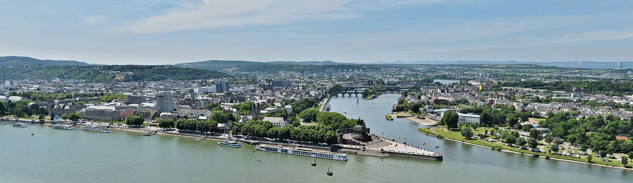
BoppardTownBoppard, a 24-kilometer mark, entices adventurers to explore its ancient streets, magnificent ruins, and scenic outlooks overlooking the stunning Rhine Gorge.
36 km
36 km
Horst327 mPeakHorst, a 36-kilometer mark, treats cyclists to breathtaking views of the surrounding countryside and the majestic Castle Liebenstein.
47 km
47 km
DörthVillageDörth, a 47-kilometer mark, offers a perfect spot to rest and refuel while enjoying quaint village life and embracing the peaceful ambiance.
52 km
52 km
Fleckertshöhe529 mPeakFleckertshöhe, a 52-kilometer mark, rewards courageous cyclists with panoramic views of rolling hills, dense forests, and distant vineyards.
71 km
71 km
CarlshöheViewpointCarlshöhe, a 71-kilometer mark, mesmerizes riders with its breathtaking vista overlooking the confluence of the Moselle and Rhine rivers.
71 km
71 km
NiederfellVillageNiederfell, a 71-kilometer mark, invites cyclists to explore its idyllic surroundings and immerse themselves in the region's natural beauty.
79 km
79 km
WinningenVillageWinningen, the final stop of the trail at 79 kilometers, captivates adventurers with its charming atmosphere, renowned vineyards, and architectural treasures.
79 km
79 km
Finish: Winningen Village centerWinningen: Picturesque cycling along the Moselle river in Koblenz
Cycling routes nearby: