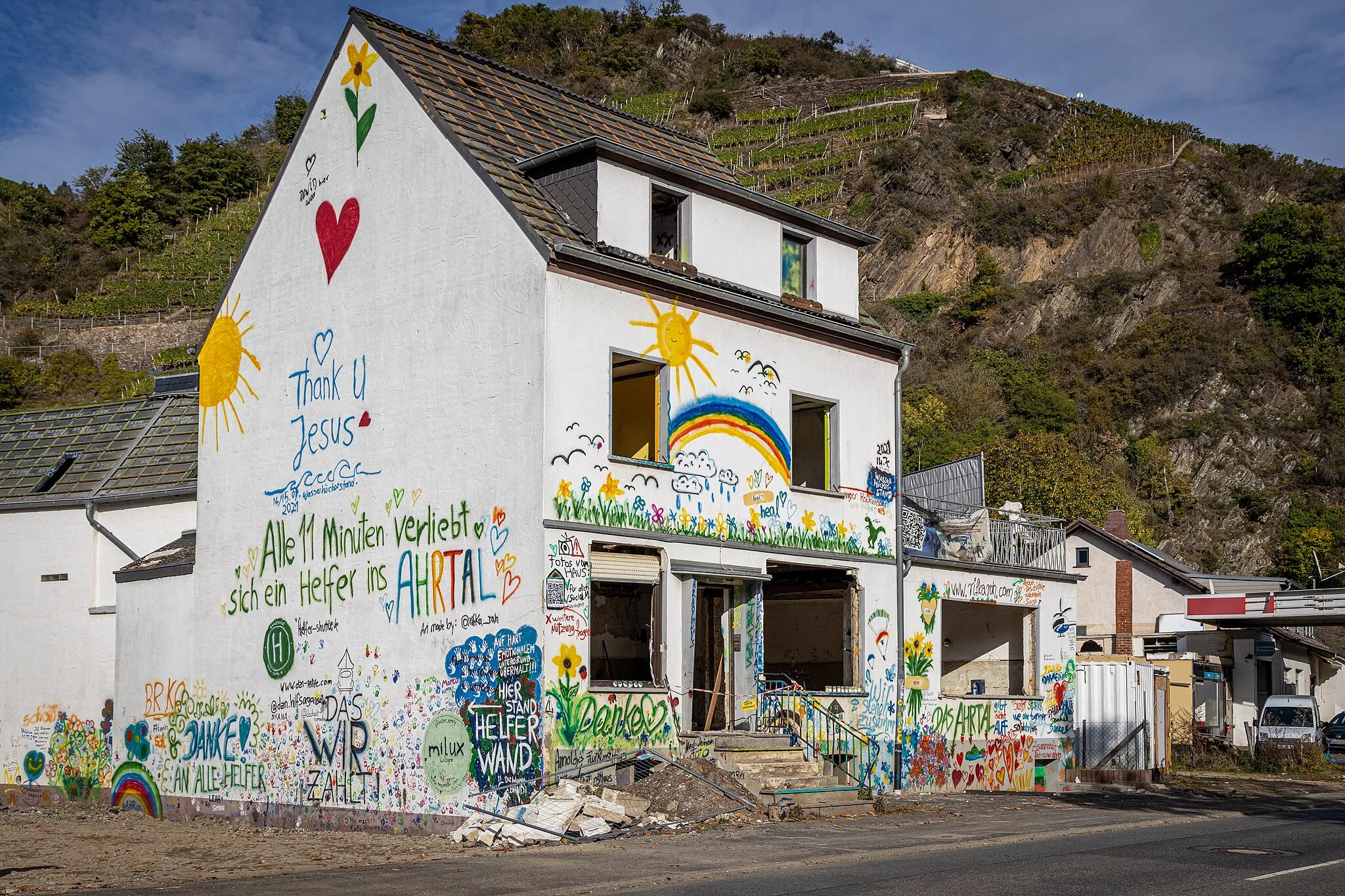
Enchanting cycling routes in Geilenkirchen, Germany
Cycling routes from Geilenkirchen
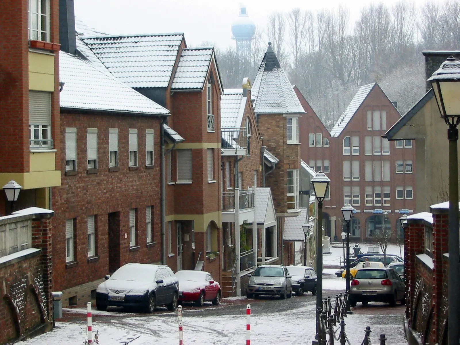
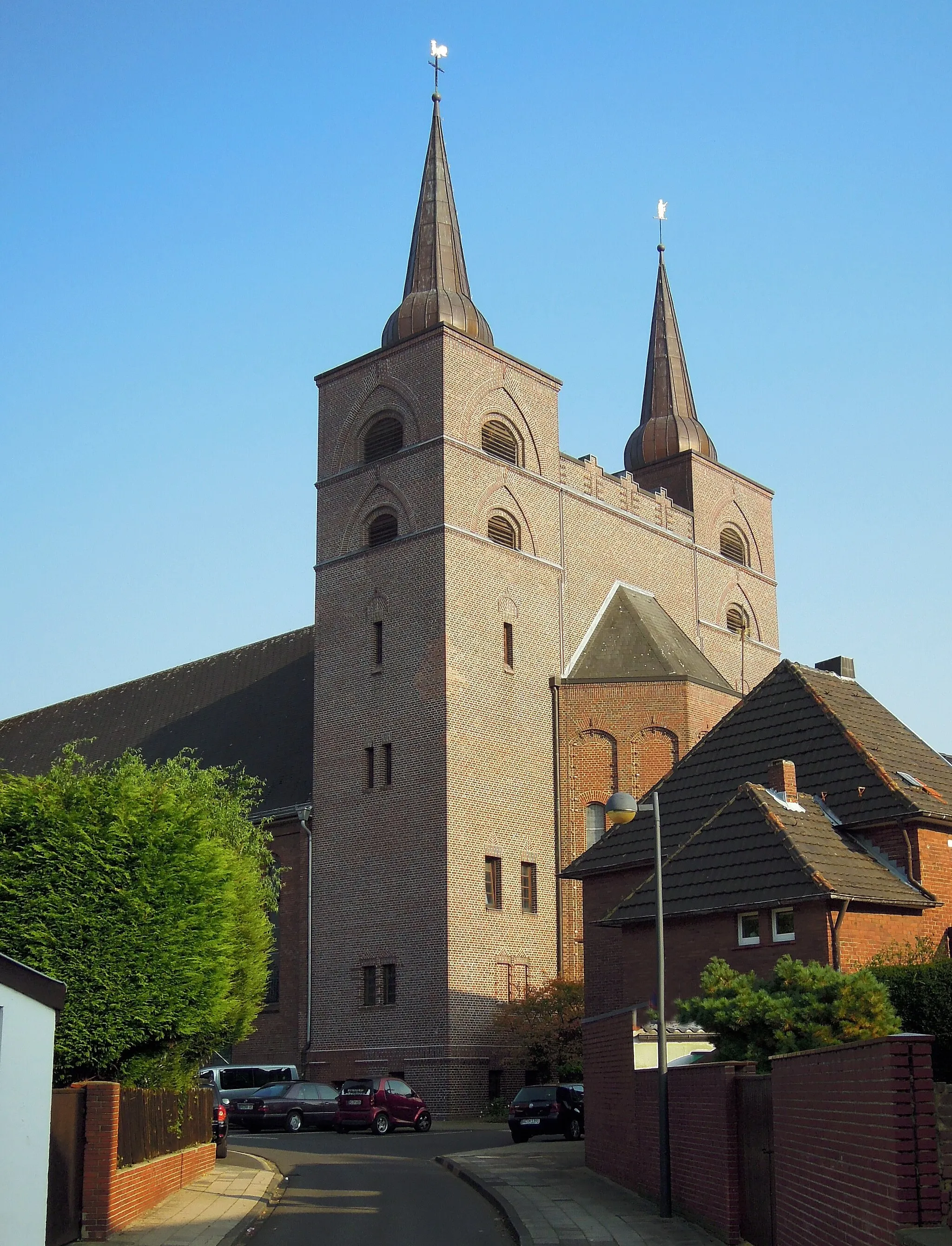
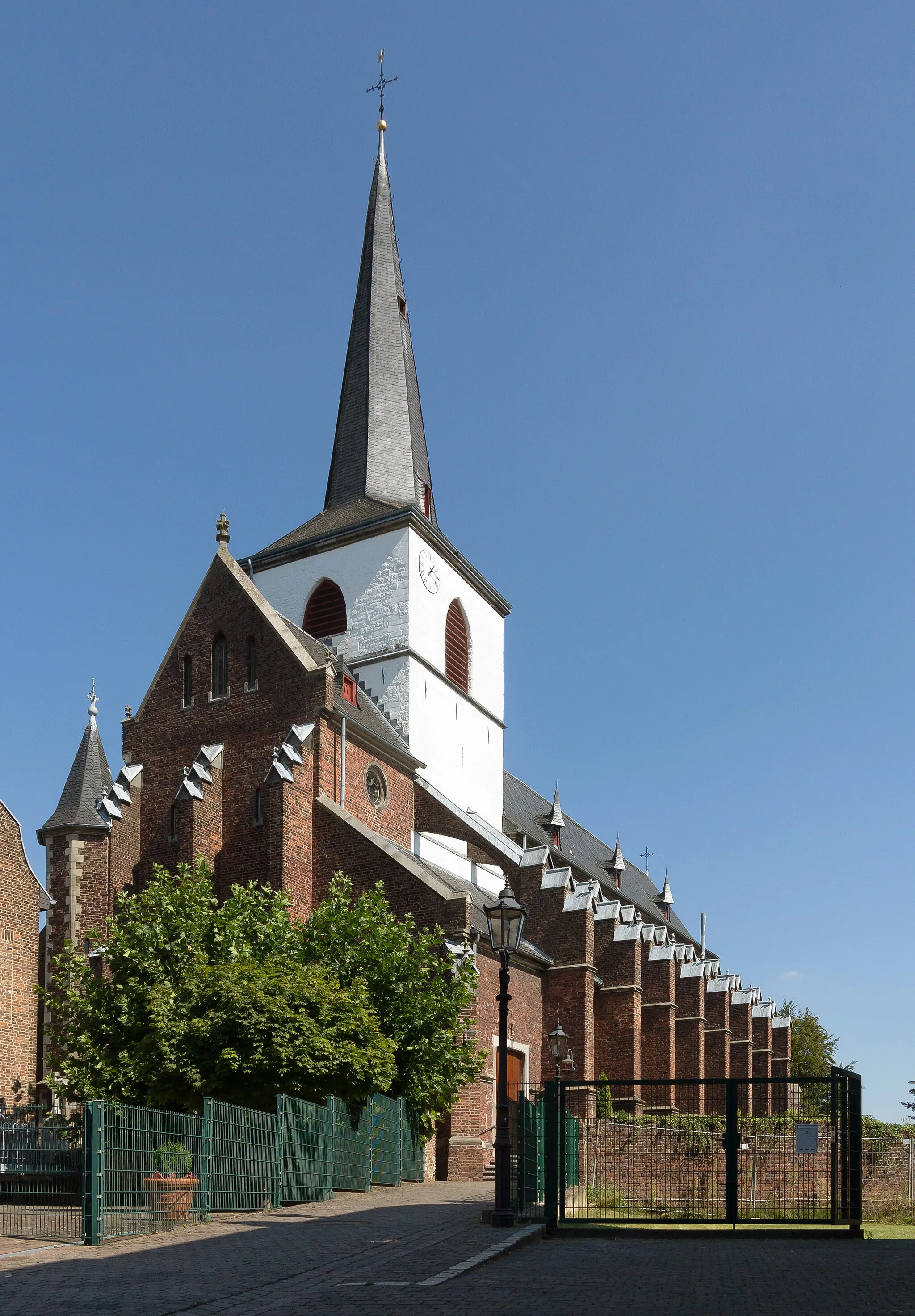
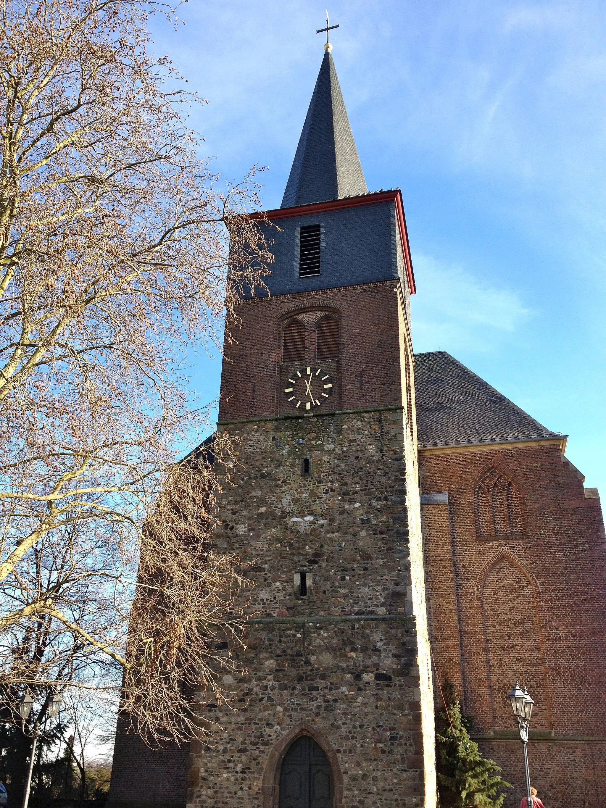
Geilenkirchen is a locality located in Köln, Germany. For road and gravel cyclists visiting Geilenkirchen, the locality provides a pleasant and diverse cycling experience. Cyclists can explore the surrounding rolling hills and meandering paths that traverse through the picturesque countryside. The area offers both flat terrains and challenging climbs such as the Vaalserberg, known for being the highest point in the Netherlands. The proximity to popular cycling cities like Aachen adds to the appeal for cyclists visiting the region. Overall, Geilenkirchen deems a cyclis's rank of 4, presenting a charming location for bike enthusiasts.
Embark on a thrilling off-road adventure through the gravel paths around Geilenkirchen.
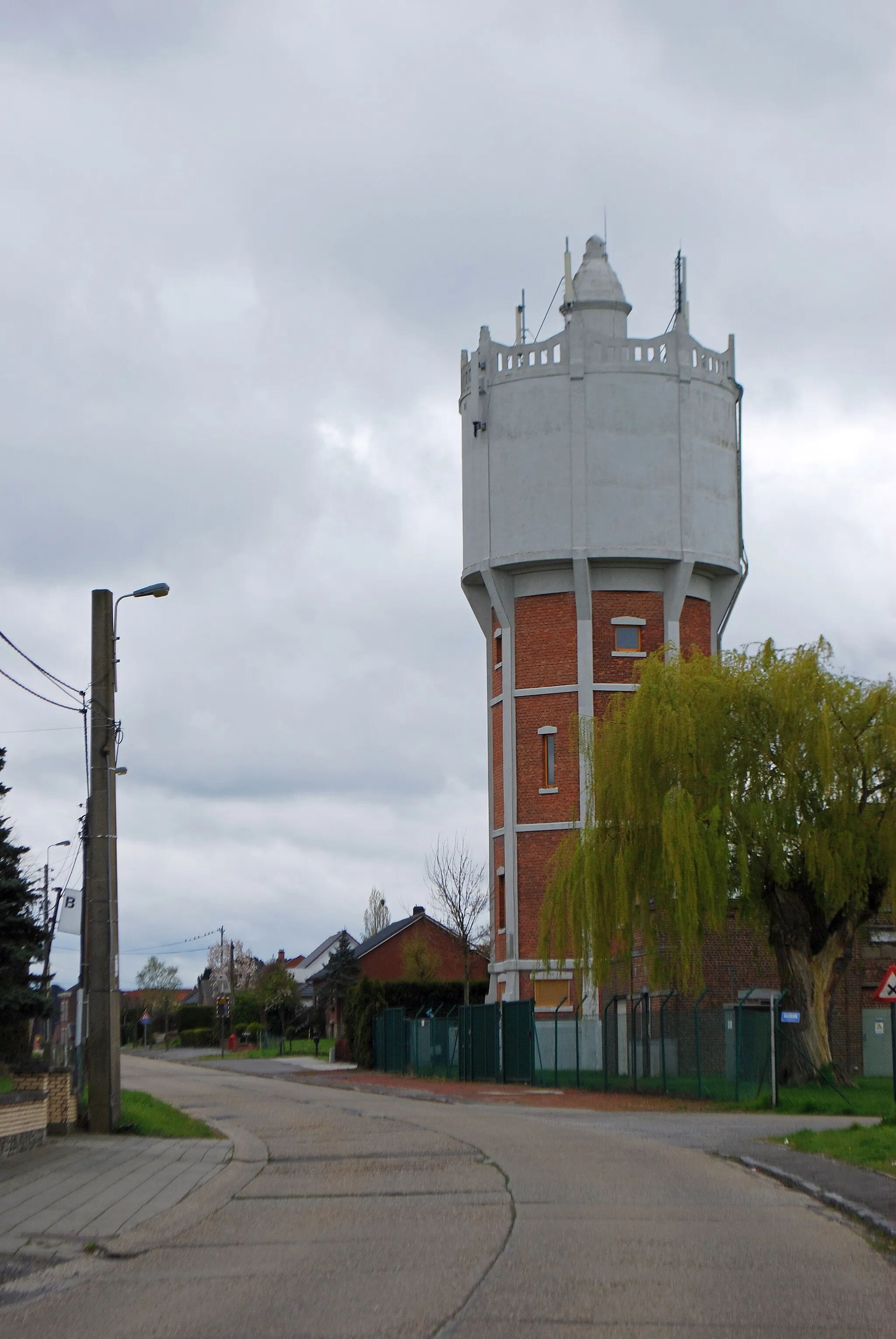
This gravel cycling route is perfect for adventure enthusiasts looking to explore the beautiful off-road trails around Geilenkirchen. With a distance of 46 kilometers and an ascent of 288 meters, this route offers a thrilling experience for gravel riders. Highlights include Geilenkirchen, where you can start your adventure, Rimburg's Watertoren with panoramic views, and Heerlerheide, known for its natural beauty. Immerse yourself in the tranquil surroundings of Schrieversheide and enjoy the serene Op den Hering landscape. Finally, cycle through Niederheid before ending your adventure. Overall, this route provides a unique and exciting cycling experience for gravel enthusiasts.
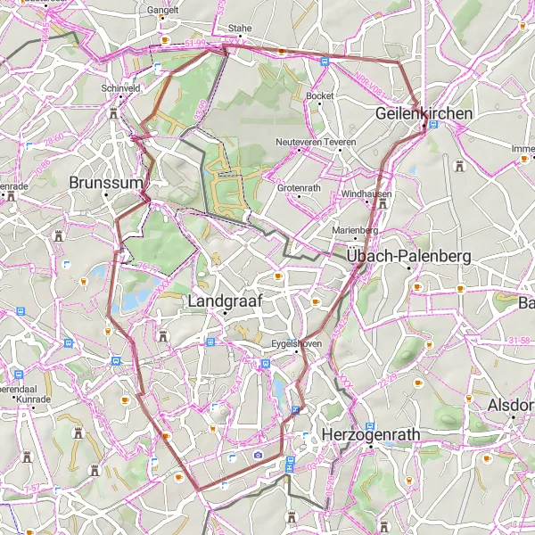
Indulge in stunning scenery on this gravel tour near Geilenkirchen.
Journey through picturesque landscapes and charming towns with this scenic gravel tour near Geilenkirchen. Featuring an ascent of 396m and a distance of 69km, this route is best suited for experienced gravel riders. Enjoy the stunning views of Ouverberg before venturing to Brunssum, a beautiful town with preserved historic sites. Spaubeek is known for its idyllic charm and can't be missed along the way. Wijnandsrade promises riders breathtaking scenery and the opportunity to explore the outdoors. Don't forget to visit the iconic Watertoren Rimburg and Rimburg, two landmarks with a rich history. The tour ends in Hommerschen, a quaint village surrounded by nature.
Embark on an adventurous gravel route near Geilenkirchen.
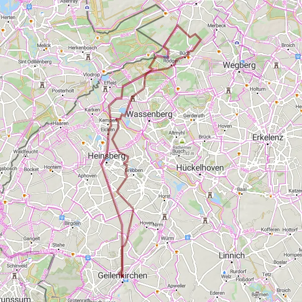
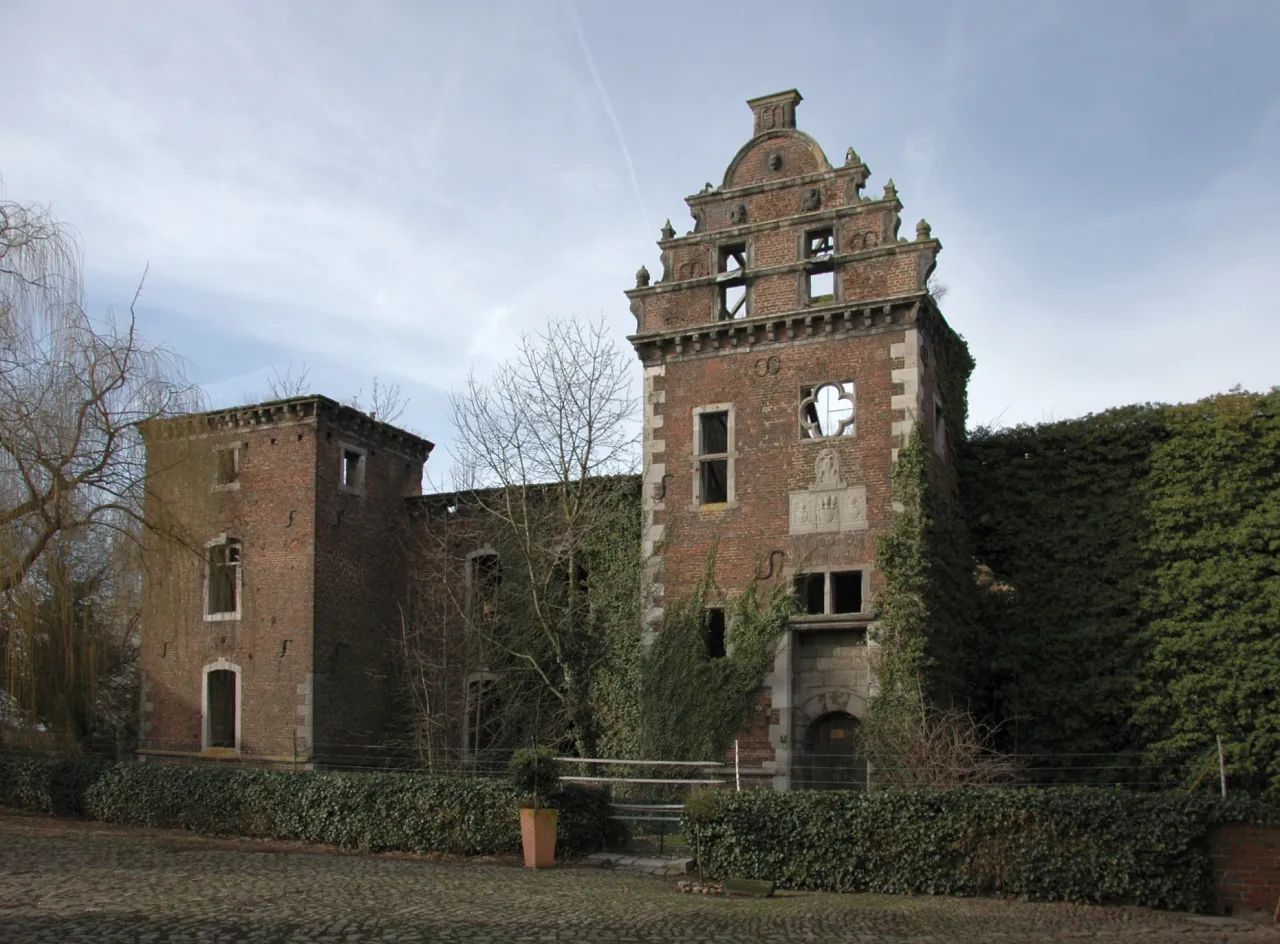
If you're looking for an off-road adventure near Geilenkirchen, this gravel cycling route is just what you need. With a challenging ascent of 259m and a distance of 65km, this route is suitable for experienced riders. Begin the journey at Am Himmelsgärtchen, a serene spot surrounded by nature. Continue to Heinsberg, a town with a rich history and cultural heritage. Ophoven features a beautiful lake and is perfect for a peaceful break. As you pedal through Arsbeck, you'll encounter scenic landscapes and refreshing views. Don't miss visiting Schloß Elsum, a picturesque castle with a rich history. Get ready for breathtaking landscapes at Wasser.Blick 24 Rur, followed by the charming village of Tripsrath.
Take on the challenge of this gravel route near Geilenkirchen.
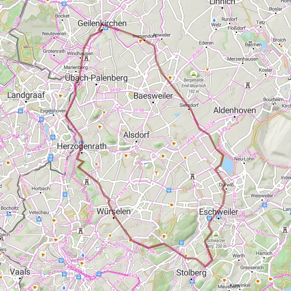
If you're ready for a thrilling adventure, this challenging gravel route near Geilenkirchen is the perfect choice. With a demanding ascent of 415m and a distance of 62km, this route is recommended for experienced riders seeking an adrenaline rush. Start your journey at Schleiden, a picturesque town surrounded by breathtaking landscapes. Eschweiler beckons riders with its rich history and cultural heritage. As you conquer Schwarzer Berg, be prepared for stunning views of the surroundings. Haarberg offers rewarding cycling experiences with its diverse terrains. Würselen promises riders diverse landscapes and beautiful natural scenery. Conclude your tour at Herzogenrath, a historic town known for its landmarks and attractions, including the Wurmauenpark.
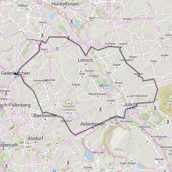
Embark on a delightful cycling adventure through Geilenkirchen and its scenic surroundings.
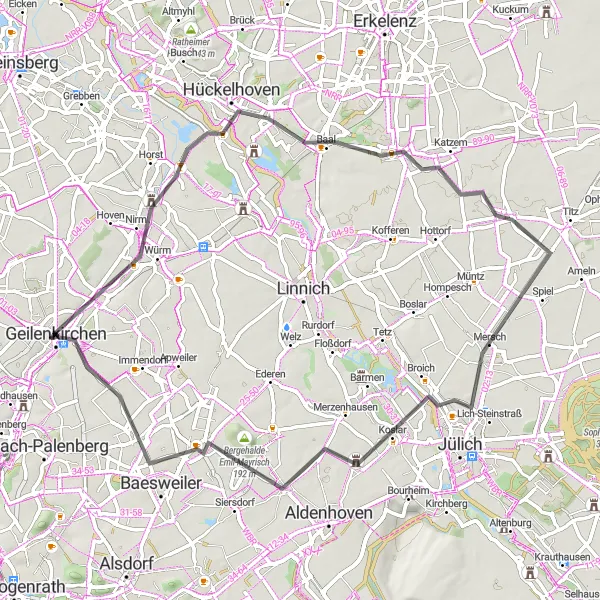
Discover the charming towns and scenic landscapes around Geilenkirchen on this delightful road cycling route. With an ascent of 179 meters and a distance of 64 kilometers, this route offers a pleasant and enjoyable ride for cyclists of all levels. Highlights include Randerath, a picturesque town with historical sights, and Pattern, known for its idyllic countryside. Stop by Aldenhoven and admire its unique architecture before continuing your journey to Baesweiler with its charming streets and friendly atmosphere. Finally, Hünshoven awaits with its beautiful landscapes and tranquil surroundings. Overall, this route provides a delightful and relaxed cycling experience for riders seeking a scenic adventure.
Geilenkirchen Loop
Discover scenic landscapes of Geilenkirchen.
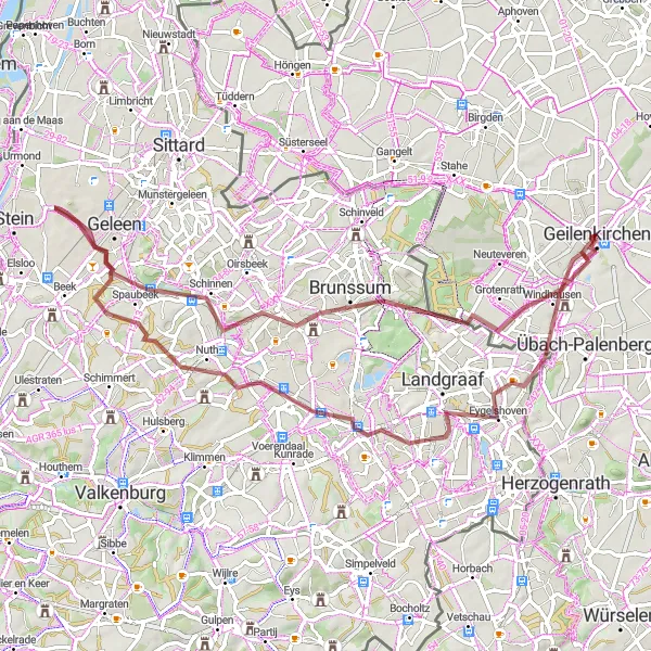
Embarking on this road cycling adventure near Geilenkirchen, you'll experience breathtaking landscapes and charming towns along the way. With a moderate ascent of 194m and a distance of 62km, this route is suitable for well-trained amateurs. The highlights of this route include Ouverberg, a picturesque hill offering panoramic views, Brunssum, a historic town with beautiful architecture, and Vaesrade, a quaint village known for its peaceful atmosphere. Take a break at Nieuwstadt, a small town with great cycling infrastructure, and Saeffelen, surrounded by green meadows and forests. Lastly, don't miss Hatterath, a rural area with stunning nature.
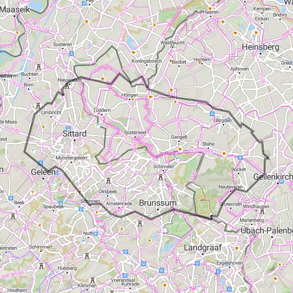
Discover the scenic countryside and charming towns of Geilenkirchen on this challenging road cycling route.
This loop around Geilenkirchen offers a scenic and challenging ride through the hilly countryside near the Dutch border. With a total ascent of 299 meters and a distance of 88 kilometers, this road cycling route is perfect for experienced cyclists looking for a challenging ride. The route takes you through picturesque towns such as Ouverberg, Brunssum, and Maaseik, where you can enjoy local attractions, cafes, and restaurants. Test your climbing skills on the Schelberg and the Born hills and take in the beautiful landscapes along the way. Overall, this route offers a great mix of challenging terrain, beautiful scenery, and cultural highlights.
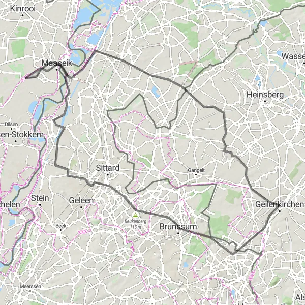
Embark on a challenging journey through the hilly landscapes of Southern Limburg.
Experience the challenging hills and breathtaking landscapes of Southern Limburg on this road cycling route. With a total ascent of 485 meters and a distance of 94 kilometers, this route is suitable for experienced cyclists looking for a demanding ride. Highlights include Landgraaf, famous for its impressive cultural heritage, and Schin op Geul, a picturesque town with charming streets and stunning views. Don't miss the iconic De Krul bend and the vibrant city of Maastricht, which offers a rich history and vibrant atmosphere. Cyclists will also pass through Lanaken, where you can take a moment to relax by the tranquil waters. Overall, this route promises a challenging and rewarding experience for road cyclists.
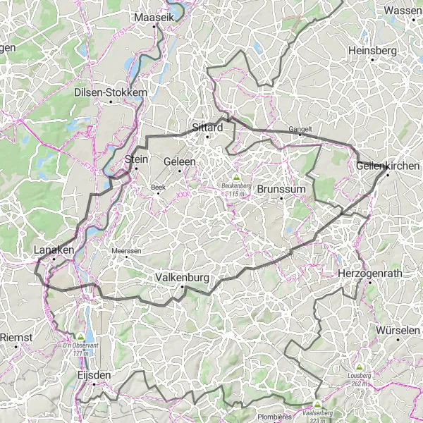
Discover charming villages and stunning landscapes.
Embark on a scenic road cycling journey starting from Geilenkirchen. With a moderate ascent of 145m and a distance of 62km, this route is perfect for well-trained amateur riders. Hückelhoven welcomes you with picturesque surroundings, followed by Gevelsdorf, a village full of charm and character. Engelsdorf boasts scenic views and provides a tranquil cycling experience. As you reach Bergehalde Emil-Mayrisch, take in the panoramic vistas before continuing to Baesweiler, a town known for its hospitality. The journey concludes at Schloss Breill, a magnificent castle surrounded by glorious landscapes.
Immerse yourself in stunning landscapes and picturesque villages on this scenic road cycling tour.
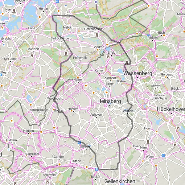
Indulge in the picturesque landscapes and charming villages surrounding Geilenkirchen on this scenic road cycling route. With an ascent of 153 meters and a distance of 65 kilometers, this route promises to enchant cyclists with its natural beauty. Highlights include Langbroich, where you can immerse yourself in the tranquility of the countryside, and Waldfeucht, a small town surrounded by idyllic landscapes. The stunning Sint Odiliënberg will impress with its historical sites and breathtaking views. Cycle through Herkenbosch and enjoy the beauty of the surrounding nature before reaching the Uitzichttoren for panoramic vistas. Lastly, pass through Dremmen, known for its charming atmosphere and pleasant cycling paths, before returning to Geilenkirchen. Overall, this route offers a delightful journey through scenic landscapes and inviting villages.
Cycling routes nearby:

Nearby regions: