Geilenkirchen Loop
A road cycling route starting from Geilenkirchen
Discover scenic landscapes of Geilenkirchen.
Map
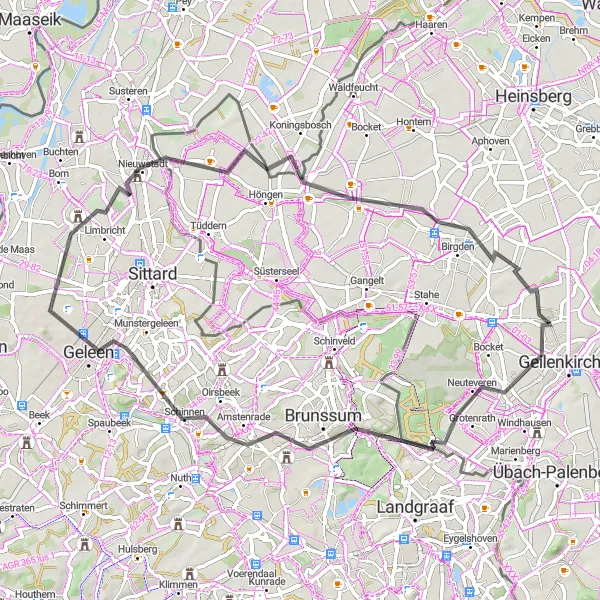
Embarking on this road cycling adventure near Geilenkirchen, you'll experience breathtaking landscapes and charming towns along the way. With a moderate ascent of 194m and a distance of 62km, this route is suitable for well-trained amateurs. The highlights of this route include Ouverberg, a picturesque hill offering panoramic views, Brunssum, a historic town with beautiful architecture, and Vaesrade, a quaint village known for its peaceful atmosphere. Take a break at Nieuwstadt, a small town with great cycling infrastructure, and Saeffelen, surrounded by green meadows and forests. Lastly, don't miss Hatterath, a rural area with stunning nature.
road
62 km
194 m
Tough
Route profile
Highlights on the route
0 km
0 km
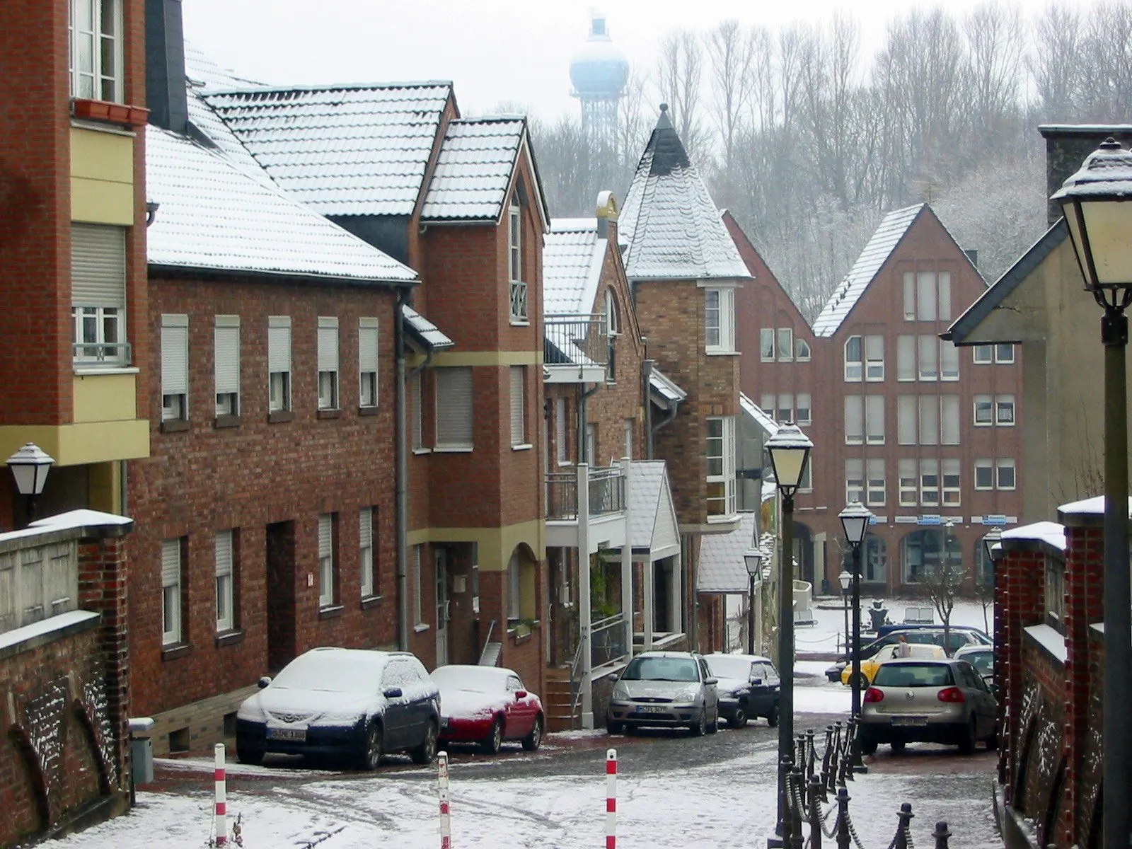
Start: Niederheid Village centerGeilenkirchen: Enchanting cycling routes in Geilenkirchen, Germany
Geilenkirchen is a locality located in Köln, Germany. For road and gravel cyclists visiting Geilenkirchen, the locality provides a pleasant and diverse cycling experience. Cyclists can explore the surrounding rolling hills and meandering paths that traverse through the picturesque countryside. The area offers both flat terrains and challenging climbs such as the Vaalserberg, known for being the highest point in the Netherlands. The proximity to popular cycling cities like Aachen adds to the appeal for cyclists visiting the region. Overall, Geilenkirchen deems a cyclis's rank of 4, presenting a charming location for bike enthusiasts.12 km
12 km
Ouverberg109 mPeakOuverberg offers stunning panoramic views of the surrounding landscapes.
14 km
14 km
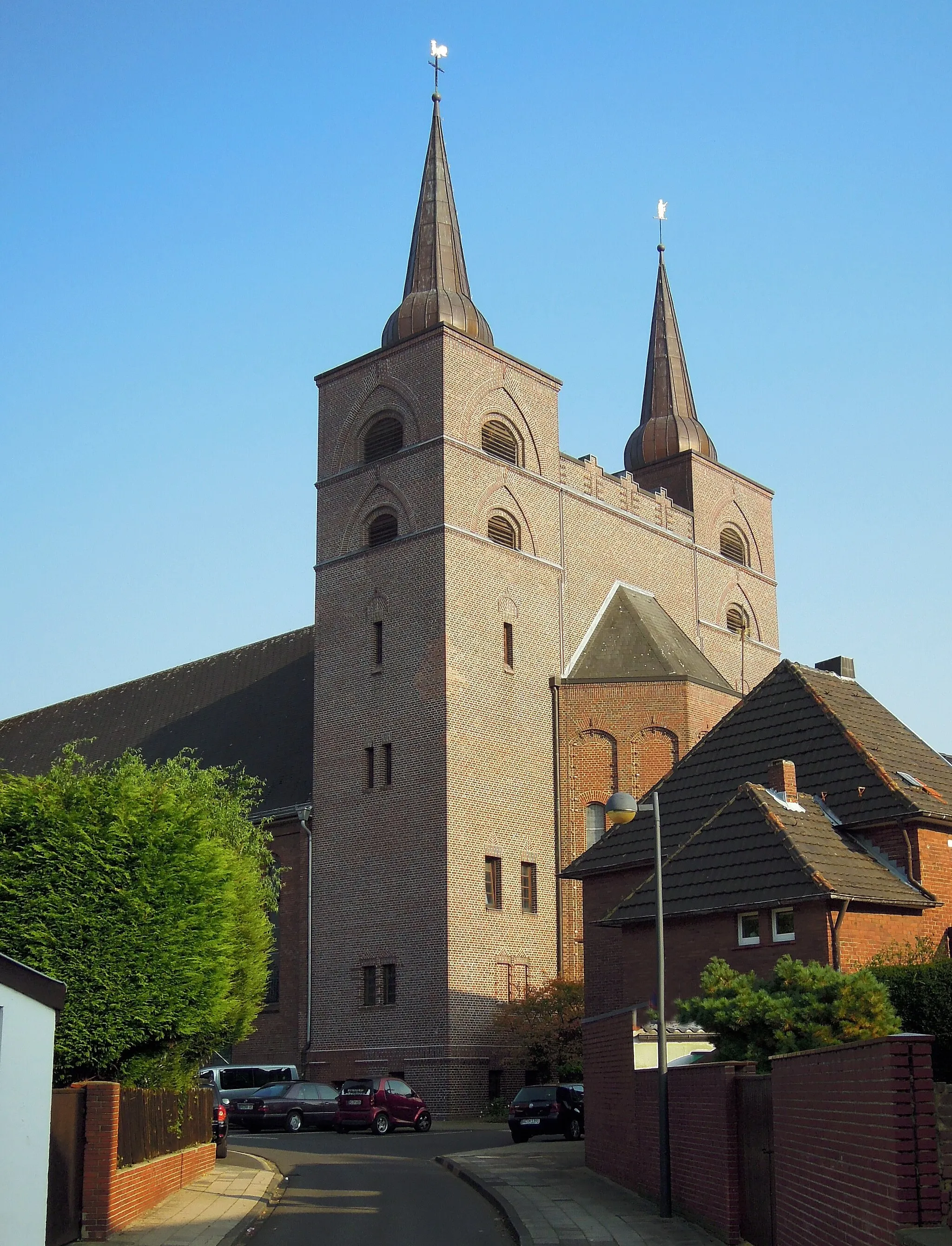
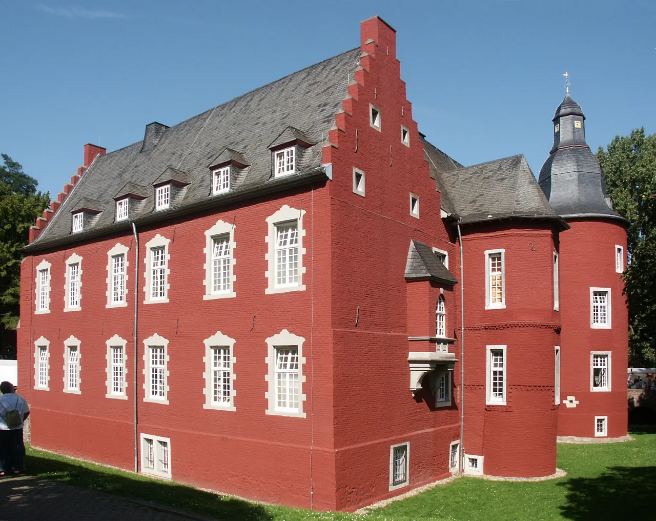
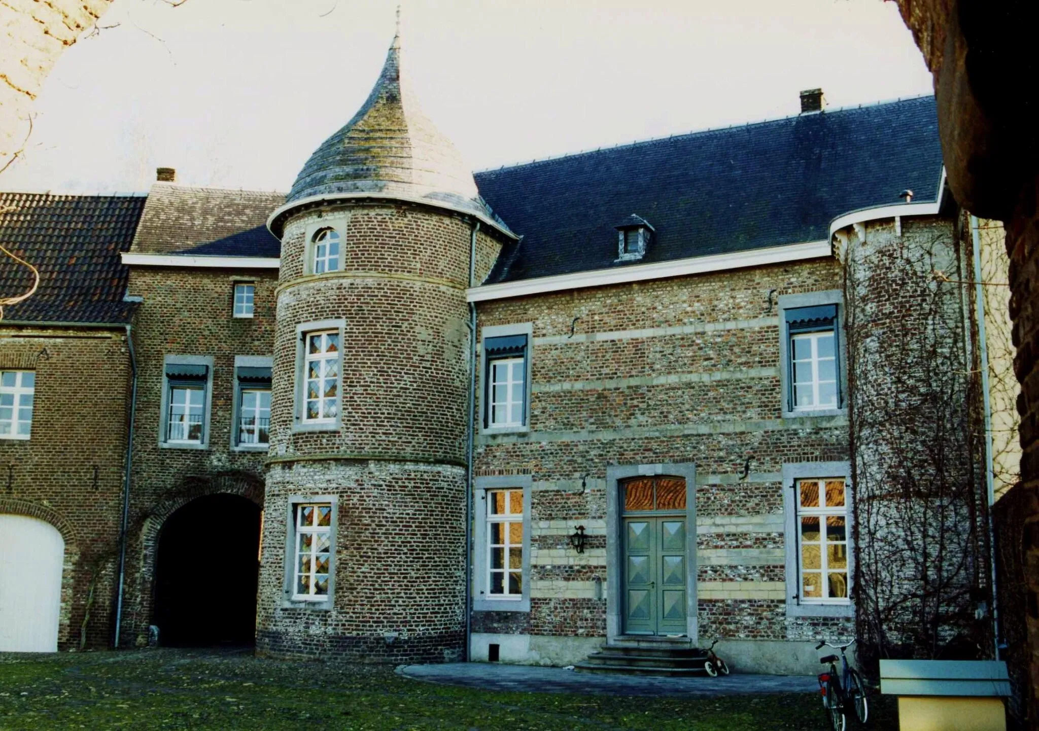
BrunssumTownBrunssum is a beautiful town with well-preserved historic architecture.
19 km
19 km
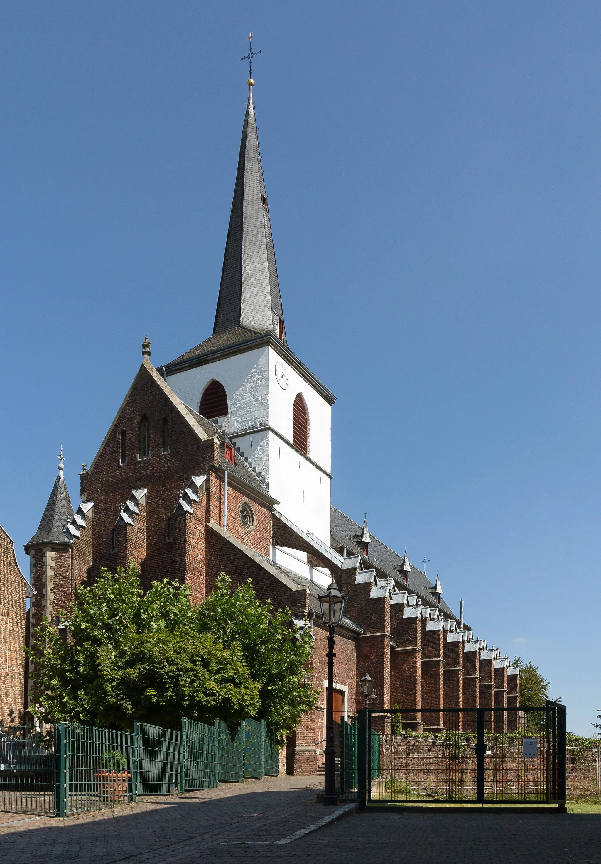
VaesradeVillageVaesrade is a peaceful village known for its idyllic atmosphere.
39 km
39 km
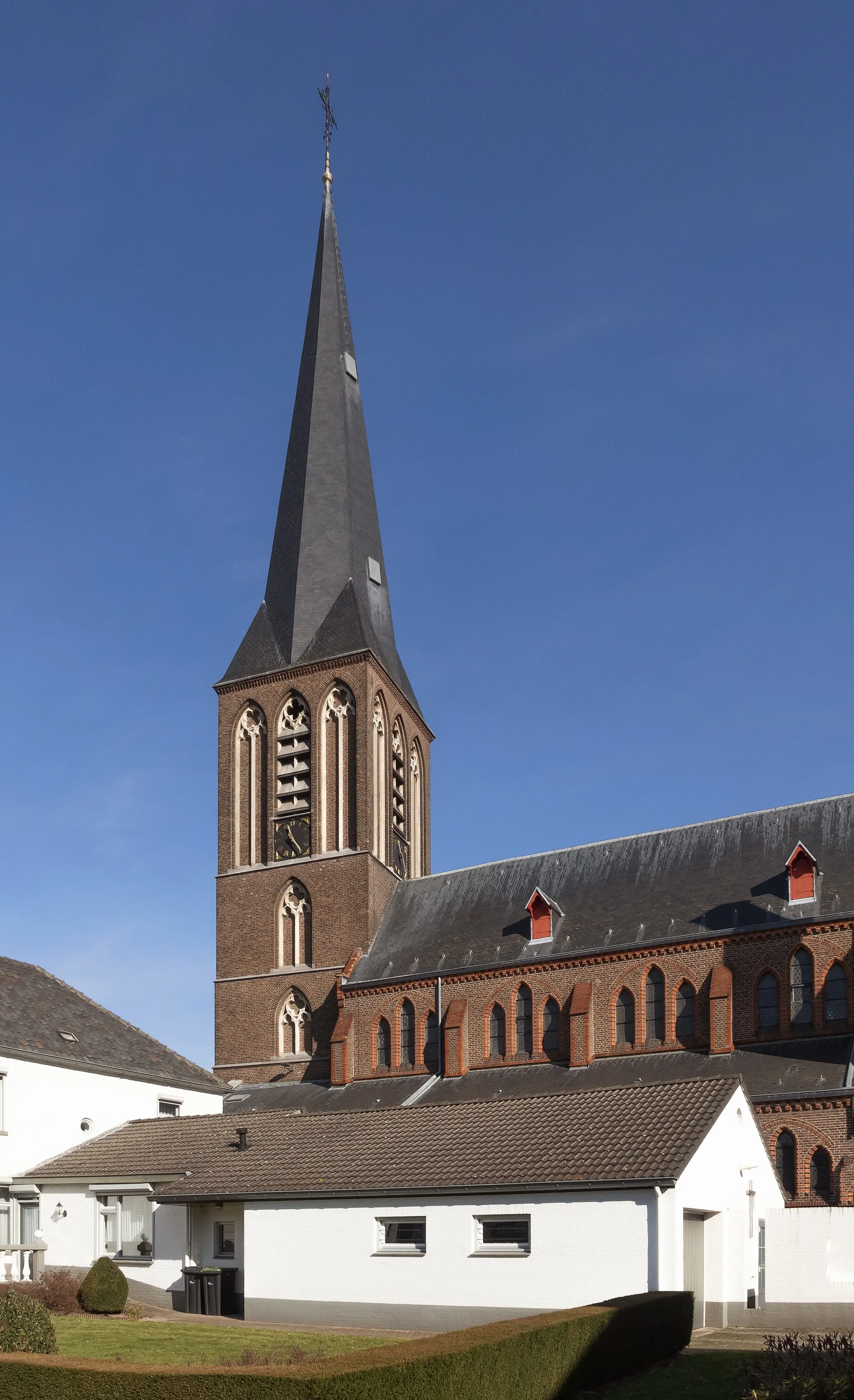
NieuwstadtVillageNieuwstadt is a small town with excellent cycling facilities.
48 km
48 km
SaeffelenVillageSaeffelen is surrounded by lush green meadows and dense forests.
60 km
60 km
HatterathVillageHatterath is a rural area with breathtaking natural scenery.
62 km
62 km
Finish: Niederheid Village centerGeilenkirchen: Enchanting cycling routes in Geilenkirchen, Germany
Cycling routes from Geilenkirchen:
The hilly loop around Geilenkirchen and the Dutch border Geilenkirchen Loop Scenic Gravel Tour around Geilenkirchen Gravel Experience near Geilenkirchen Scenic Road Ride from Geilenkirchen Delightful Cycling Route through Geilenkirchen and Surrounding Areas Scenic Tour through Geilenkirchen and Surrounding Villages Challenging Road Cycling Loop through Southern Limburg Off the Beaten Path: Gravel Adventure near Geilenkirchen Challenging Gravel Route near Geilenkirchen
Cycling routes nearby: