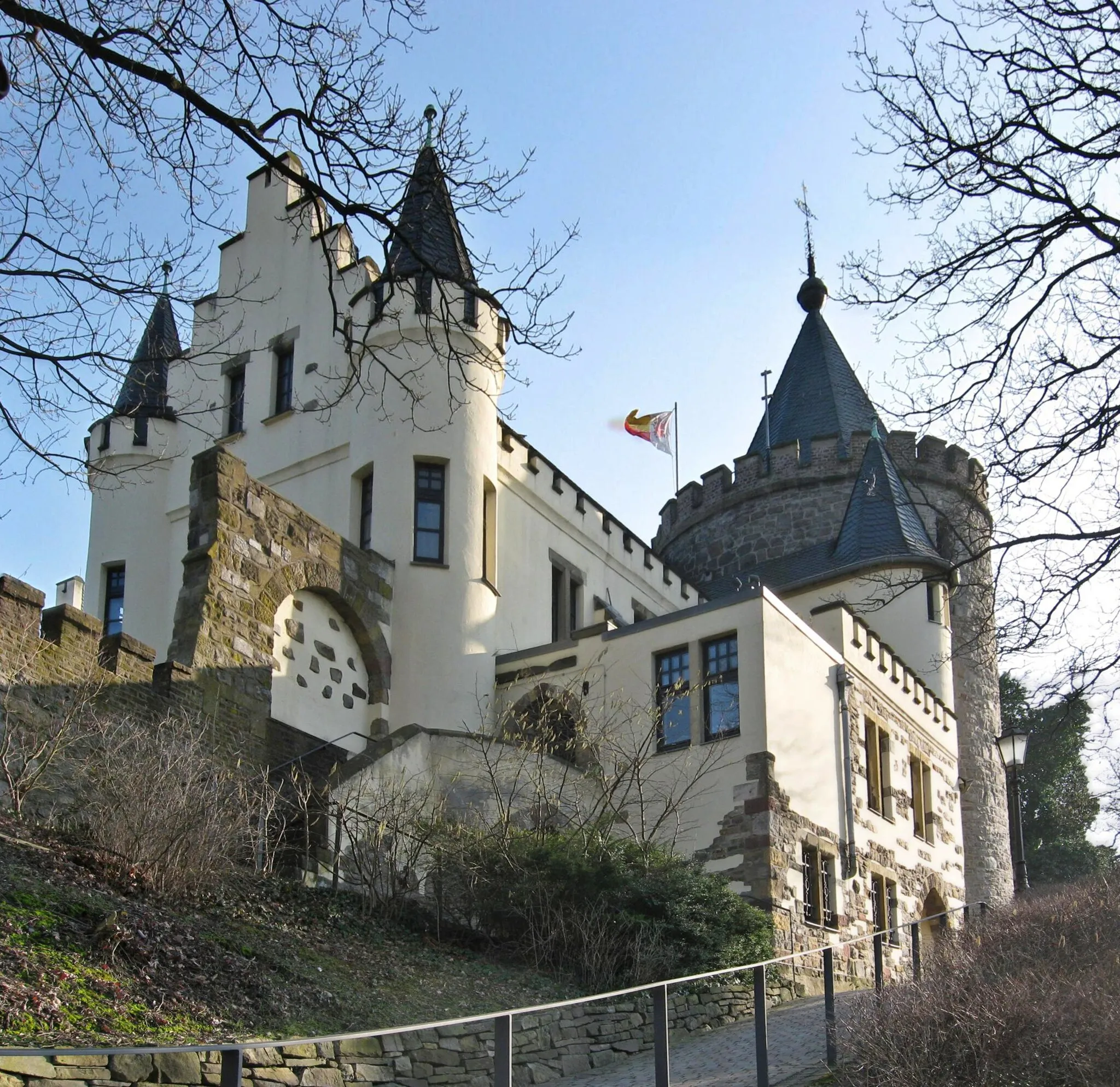
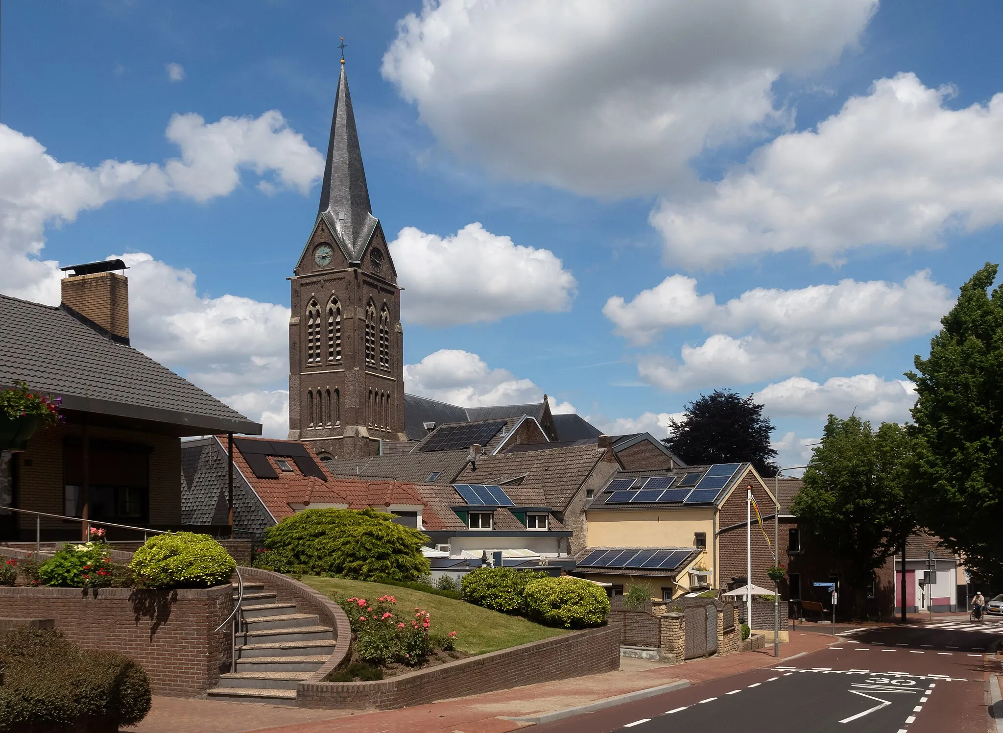
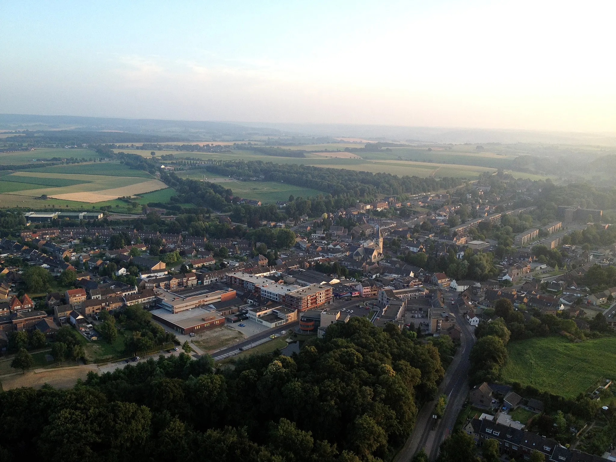
Explore the beautiful countryside of Herzogenrath, Germany on two wheels
Cycling routes from Herzogenrath
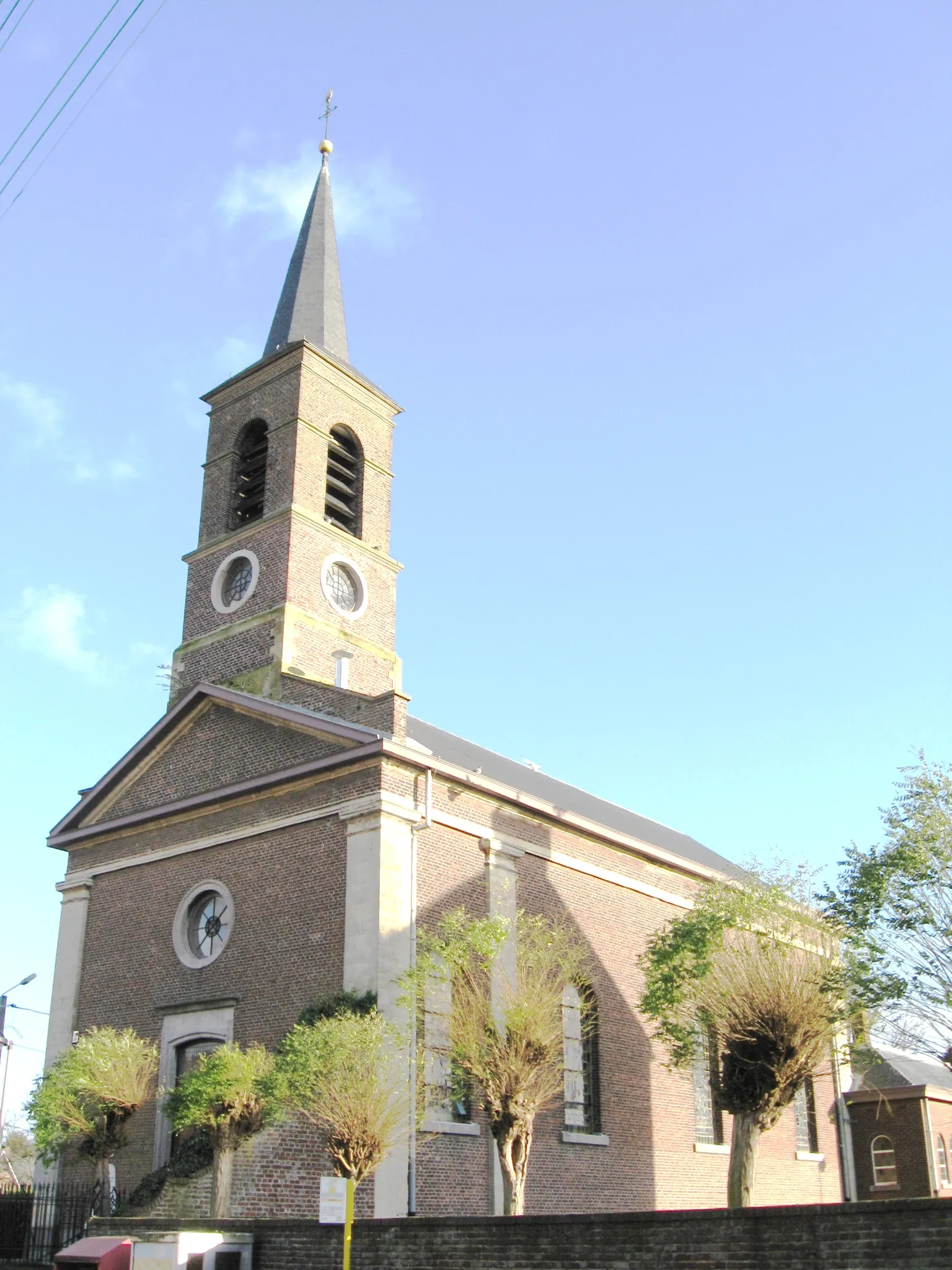
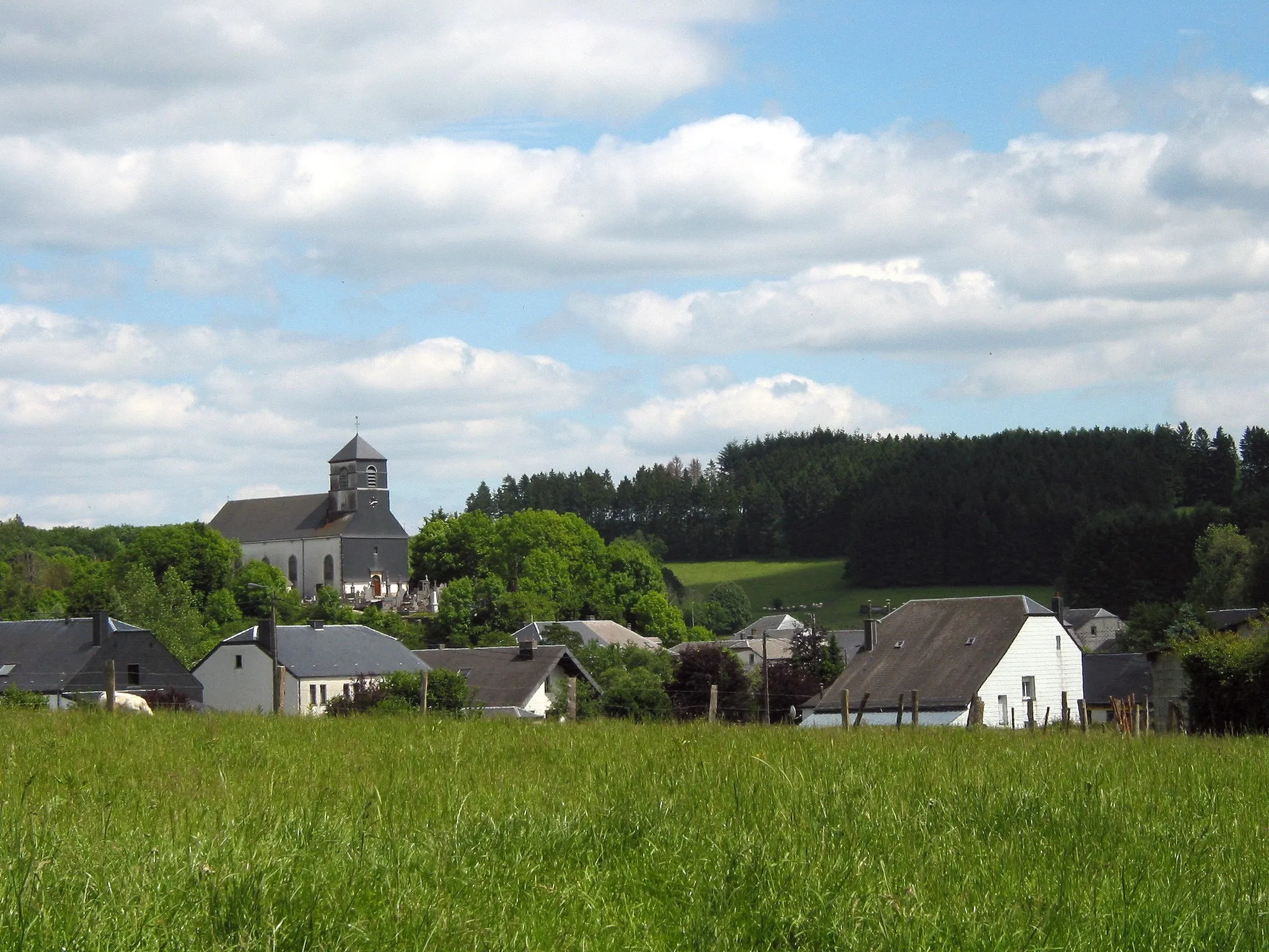
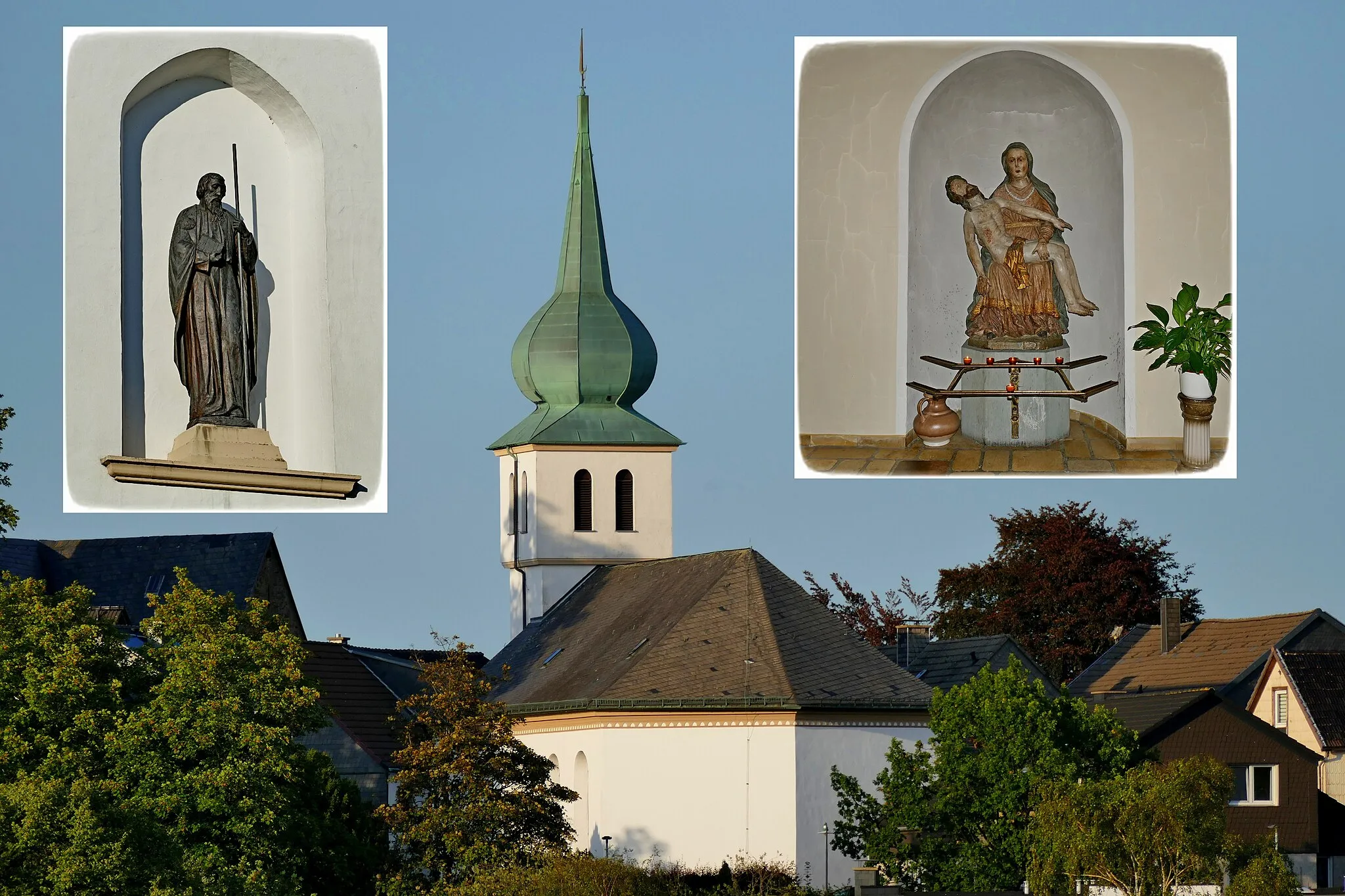
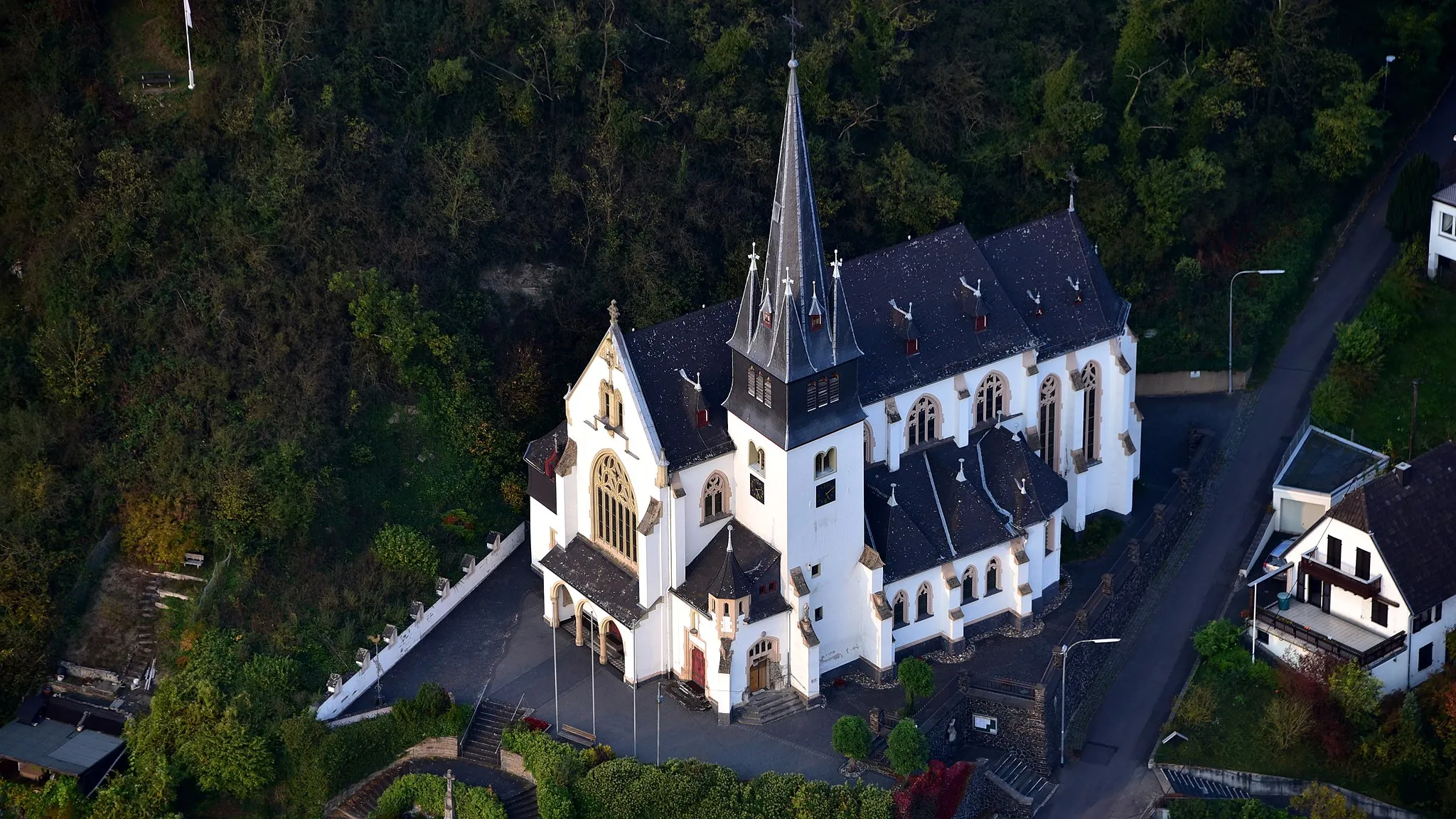
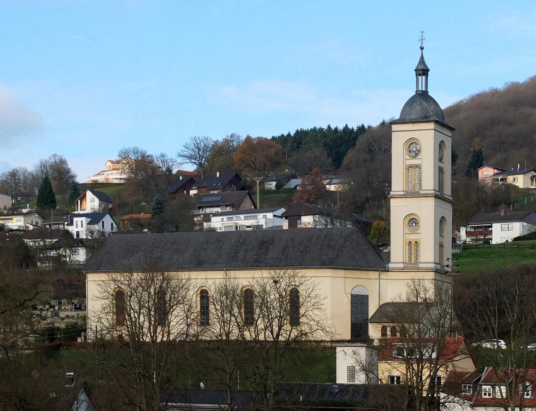
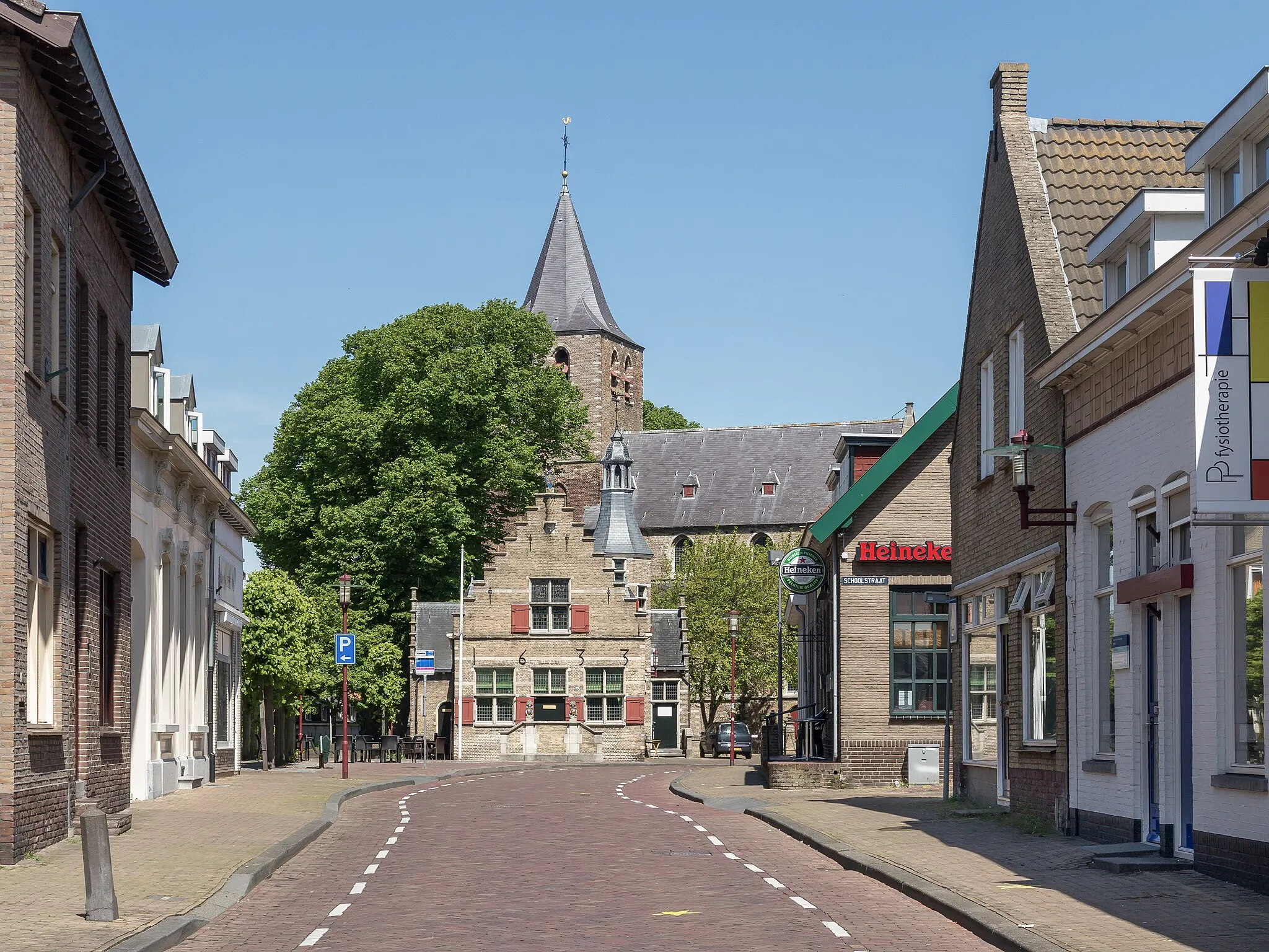
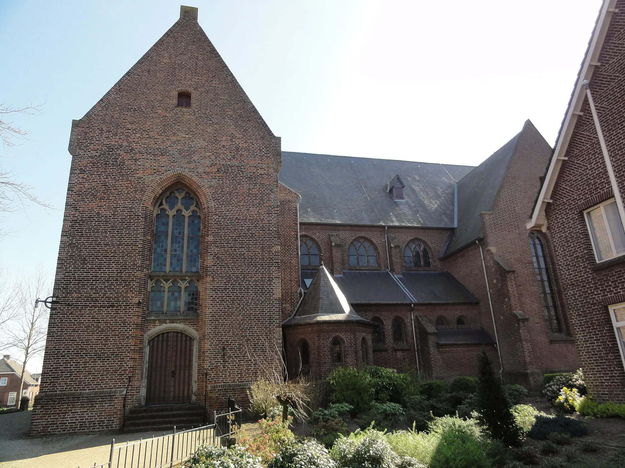
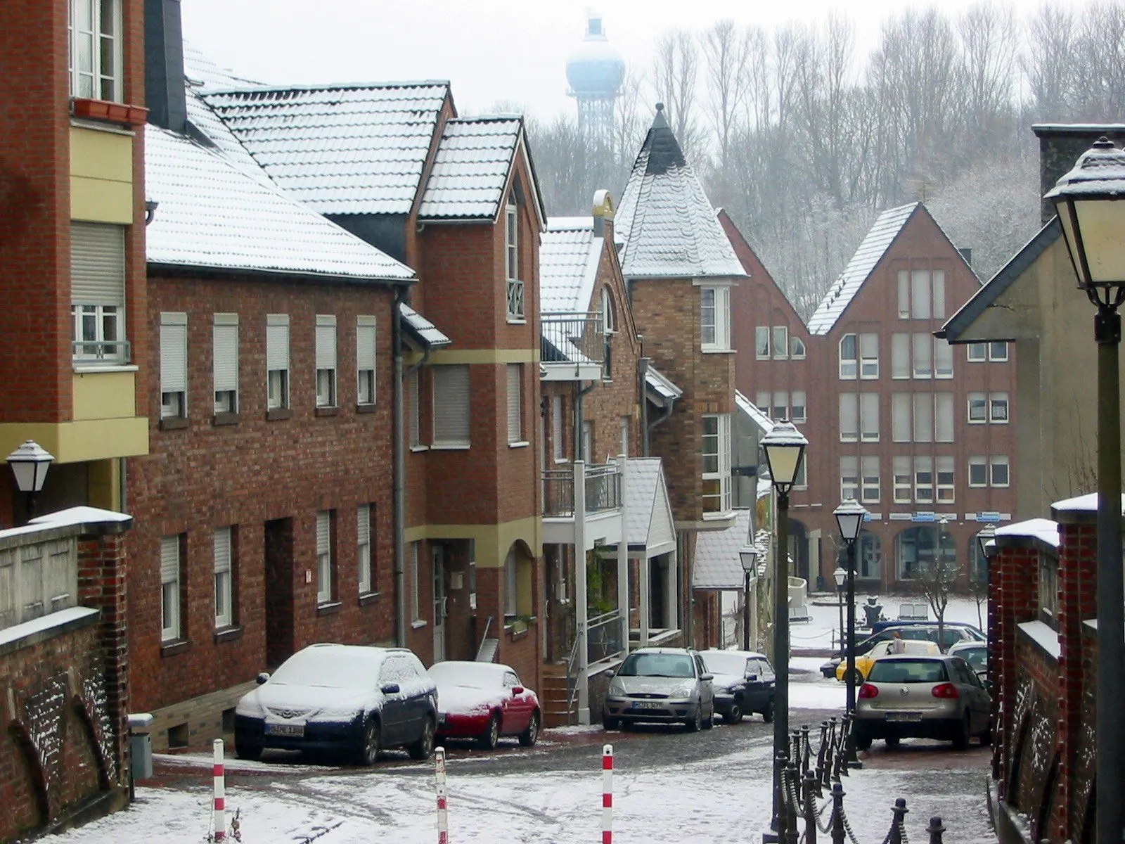
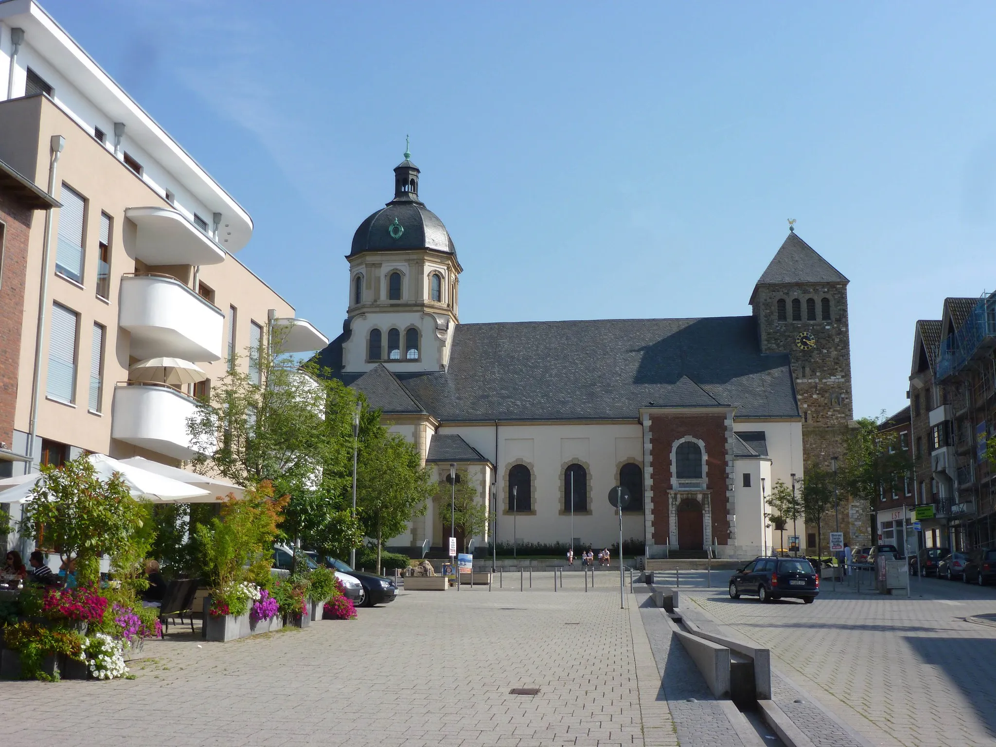
Herzogenrath, located in Köln, Germany, offers a mix of road and gravel cycling opportunities. The town itself has some cycling-friendly infrastructure, including bike lanes and paths, making it a decent option for cyclists. Herzogenrath is also surrounded by beautiful countryside, providing picturesque views during rides. While it may not be a renowned cycling destination, it offers a pleasant experience for cyclists looking to explore the region. There are no specific famous cycling-related spots or well-known climbs nearby. In terms of its suitability for cycling, Herzogenrath ranks as a 3.
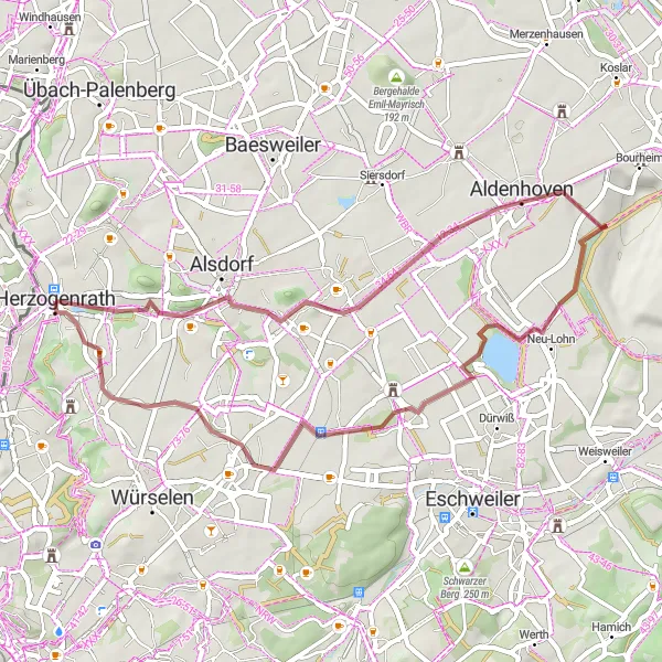
A scenic route with stunning viewpoints and historical sites
This road cycling route spans over 73 km from Merkstein to Schöne Aussicht, offering scenic landscapes, diverse terrain, and historical landmarks. With an ascent of 416 meters, the ride takes you through beautiful countryside scenery and charming villages. Along the way, you'll pass by Merkstein, Bergehalde Carl-Alexander, Kirchberg, Tagebau Inden - Aussichtspunkt Schophoven, Geich, Schöne Aussicht, Gressenich, Bergehalde Gouley, and Niederbardenberg.

Embark on a scenic gravel adventure through Wissengracht and Eygelshoven
Experience the beauty of nature on this gravel route that takes you through the scenic landscapes of Wissengracht and Eygelshoven. This route has a moderate difficulty level, suitable for well-trained amateurs. With an epicness rating of 3, it promises an exciting and memorable cycling adventure. Don't miss the highlights along the way, ranging from historical landmarks to serene birdwatching spots.
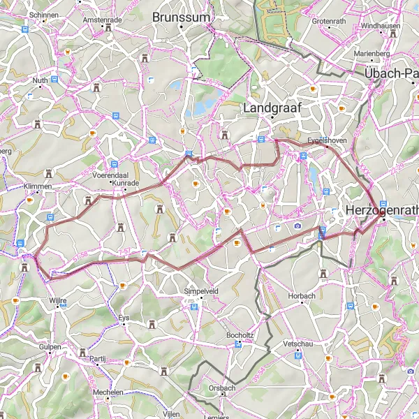
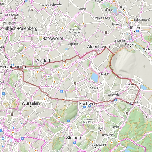
A scenic gravel ride exploring beautiful natural landscapes
This gravel cycling route covers a distance of 39 km from Herzogenrath to Eygelshoven, offering a picturesque journey through diverse terrains and beautiful natural sceneries. With an ascent of 296 meters, the ride provides a mix of challenging sections and relaxing trails. Along the way, you'll pass by Hulsveld, Lubosch, and Eygelshoven.
Enjoy a road cycling journey passing the beautiful Haaren and Gouley
This road cycling route takes you through the scenic landscapes of Haaren and Gouley. With an ascent of 460m, this route offers a moderate difficulty, suitable for well-trained amateurs. With an epicness rating of 3, it promises an enjoyable and rewarding cycling experience. Don't miss the highlights along the way, scored between 3 and 4.
Ride through the scenic Wohnanlage Zopper Hof and Bergehalde Anna II
This gravel route takes you through the picturesque Wohnanlage Zopper Hof, offering breathtaking views of the surrounding countryside. Along the way, you'll also pass Bergehalde Anna II, a stunning mining pile with panoramic vistas. The route has a moderate difficulty level, making it suitable for well-trained amateurs. With a score of 4, the key highlights are worth a stop.
Gravel Adventure to Vaalserberg
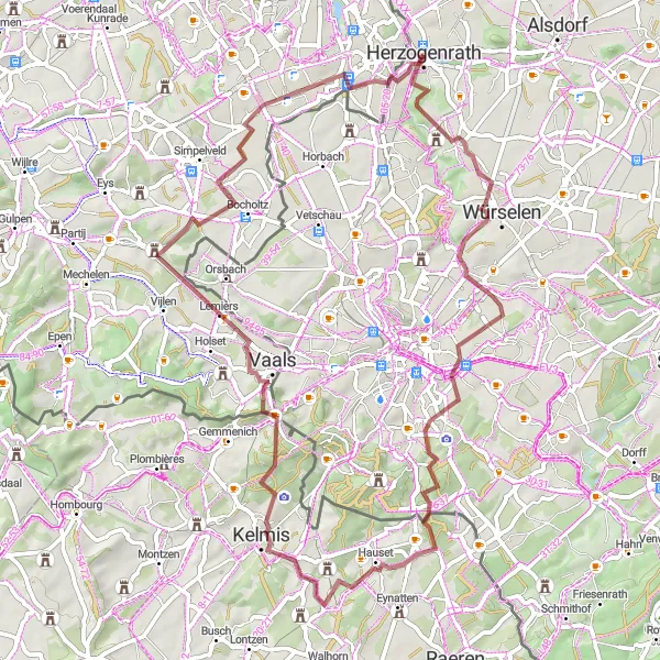
Explore the countryside and reach the highest point in mainland Netherlands
This gravel cycling route is a 62 km adventure that takes you from Herzogenrath to Vaalserberg, the highest point in mainland Netherlands. With an ascent of 725 meters, the ride offers a mix of challenging climbs, peaceful countryside roads, and picturesque landscapes. Along the way, you'll pass through Pley, Bergehalde Gouley, Elleterberg, Vaalserberg, and Herzogenrath.
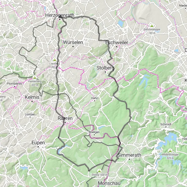
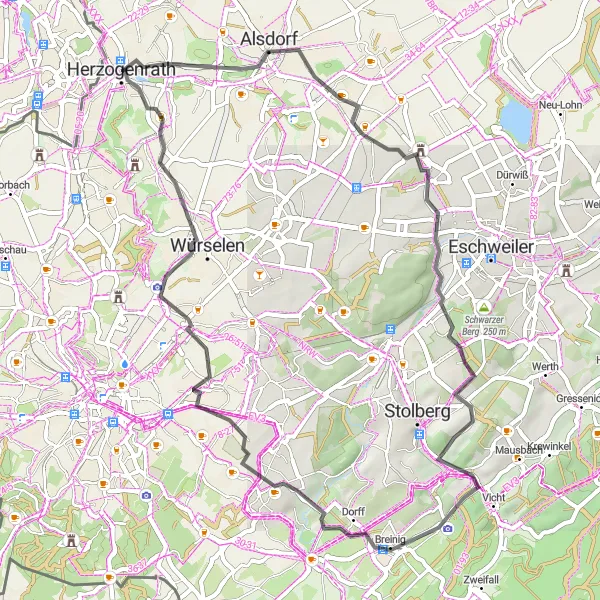
Cycling through beautiful landscapes with scenic views
This challenging road cycling route takes you on a 99 km loop from Herzogenrath to Bergehalde Anna I. With a total ascent of 962 meters, the ride offers stunning views of the surrounding mountains and countryside. You'll pass through several highlights along the way, including Sankt Jöris, Vicht, Paustenbach, Hohe, Raeren, Marschiertor, Salvatorberg, and Herzogenrath.
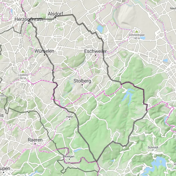
Herzogenrath to Gressenich Loop
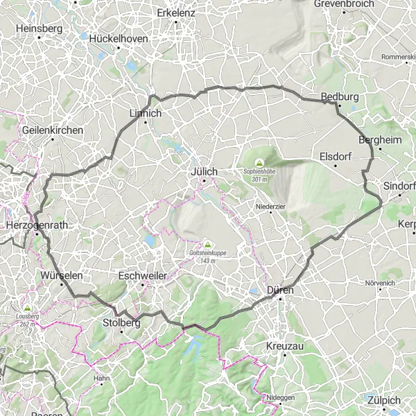
A scenic road cycling route through picturesque villages and historical landmarks
This road cycling route covers a distance of 116 km from Herzogenrath to Gressenich. With an ascent of 611 meters, the ride takes you through scenic countryside roads, charming villages, and historic landmarks. Along the way, you'll pass by Bergehalde Grube Adolf, Glimbach, Gevelsdorf, Paffendorf, Merzenich, Gürzenich, Gressenich, and Niederbardenberg.
Explore the beautiful Kalvarienberg and Aussichtsplattform Tagebau Inden on this gravel route
This gravel route takes you through the scenic landscapes of Kalvarienberg and the Aussichtsplattform Tagebau Inden. With an ascent of 265m, this route offers a moderate challenge suitable for well-trained amateurs. The epicness rating for this route is 3, promising an enjoyable and memorable cycling experience. Take some time to explore the highlights along the way, scored between 1 and 5.
Explore historic landmarks along this road cycling route
Immerse yourself in history as you cycle along this road route, passing by a variety of historic landmarks. With an ascent of 850m, this route presents a challenge for even well-trained amateurs. The epicness rating is 4, making it an exciting ride for any cycling enthusiast. The highlights along the way are worth exploring, with a score ranging from 3 to 5.
Cycling routes nearby:
Nearby regions: