Gravel route through Kalvarienberg and Tagebau Inden
A gravel cycling route starting from Herzogenrath
Explore the beautiful Kalvarienberg and Aussichtsplattform Tagebau Inden on this gravel route
Map
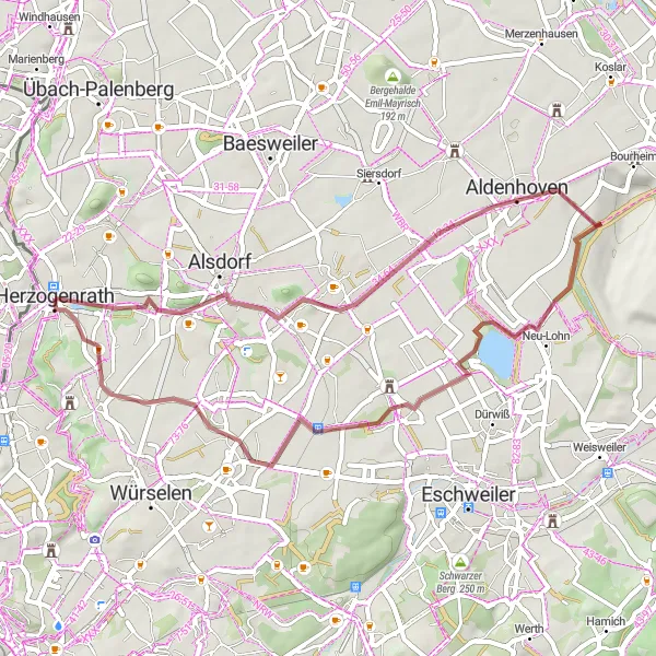
This gravel route takes you through the scenic landscapes of Kalvarienberg and the Aussichtsplattform Tagebau Inden. With an ascent of 265m, this route offers a moderate challenge suitable for well-trained amateurs. The epicness rating for this route is 3, promising an enjoyable and memorable cycling experience. Take some time to explore the highlights along the way, scored between 1 and 5.
gravel
43 km
265 m
Chill
Route profile
Highlights on the route
0 km
0 km
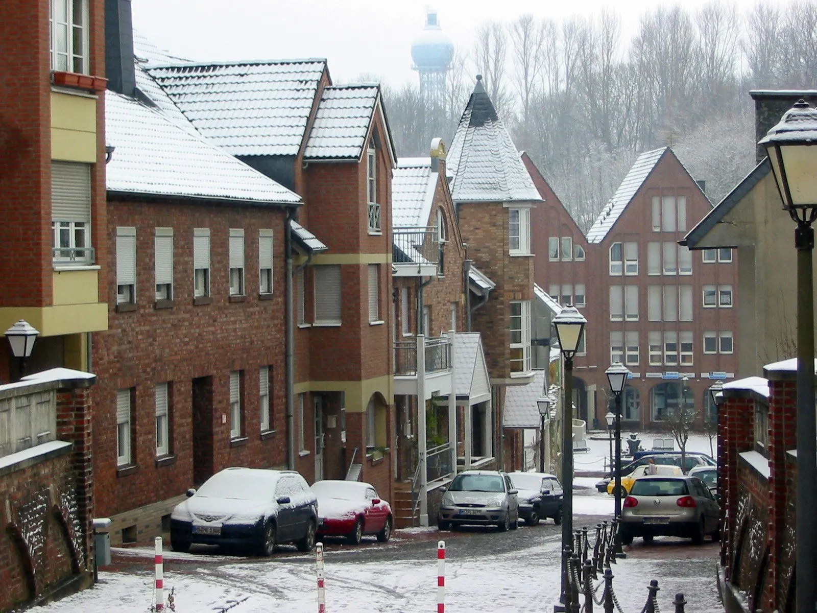
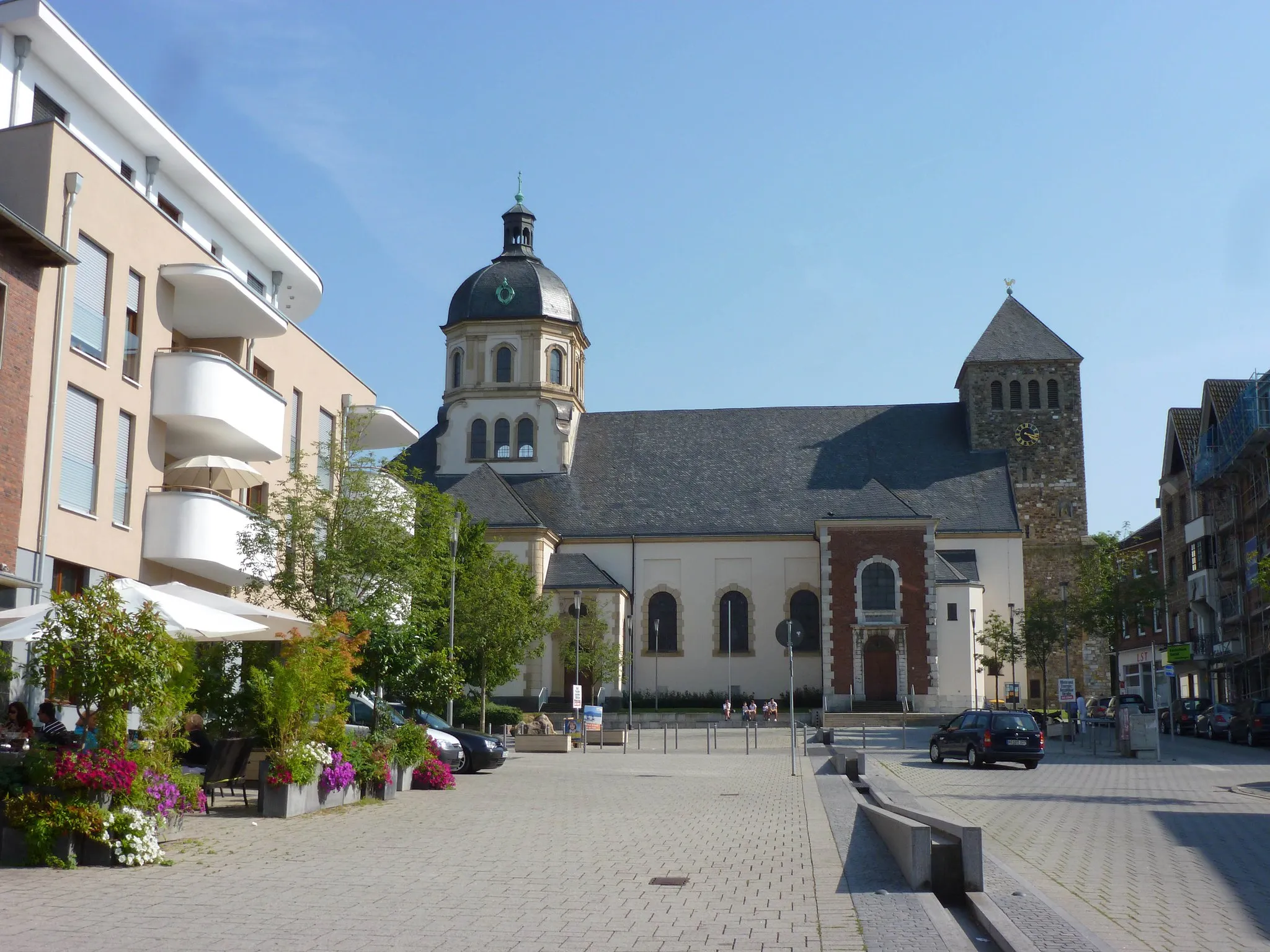
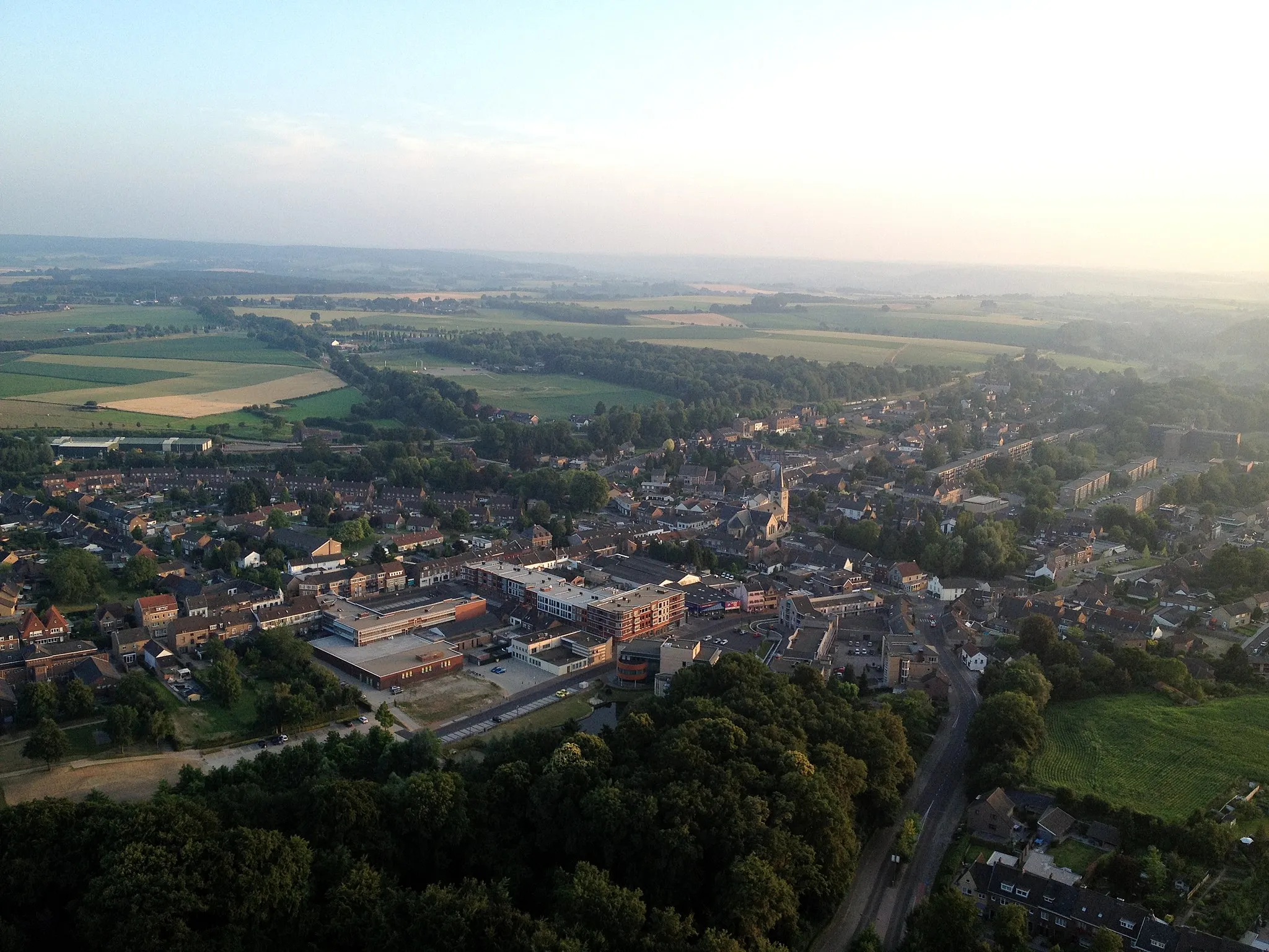
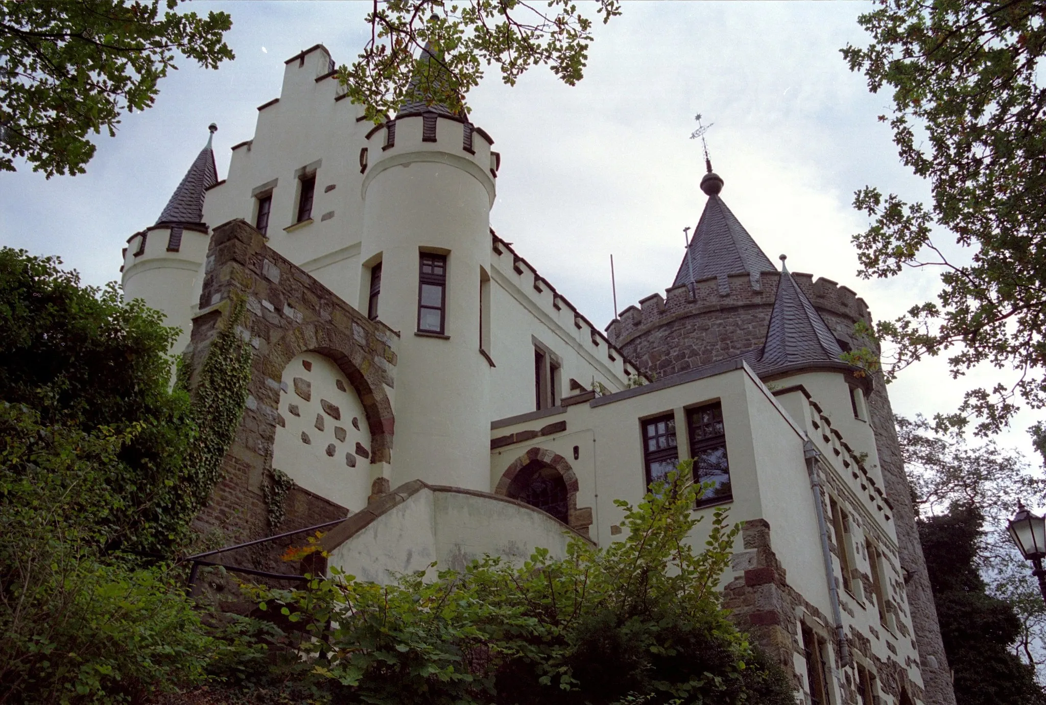
Start: Herzogenrath City centerHerzogenrath: Explore the beautiful countryside of Herzogenrath, Germany on two wheels
Herzogenrath, located in Köln, Germany, offers a mix of road and gravel cycling opportunities. The town itself has some cycling-friendly infrastructure, including bike lanes and paths, making it a decent option for cyclists. Herzogenrath is also surrounded by beautiful countryside, providing picturesque views during rides. While it may not be a renowned cycling destination, it offers a pleasant experience for cyclists looking to explore the region. There are no specific famous cycling-related spots or well-known climbs nearby. In terms of its suitability for cycling, Herzogenrath ranks as a 3.0 km
0 km
HerzogenrathTown13 km
13 km
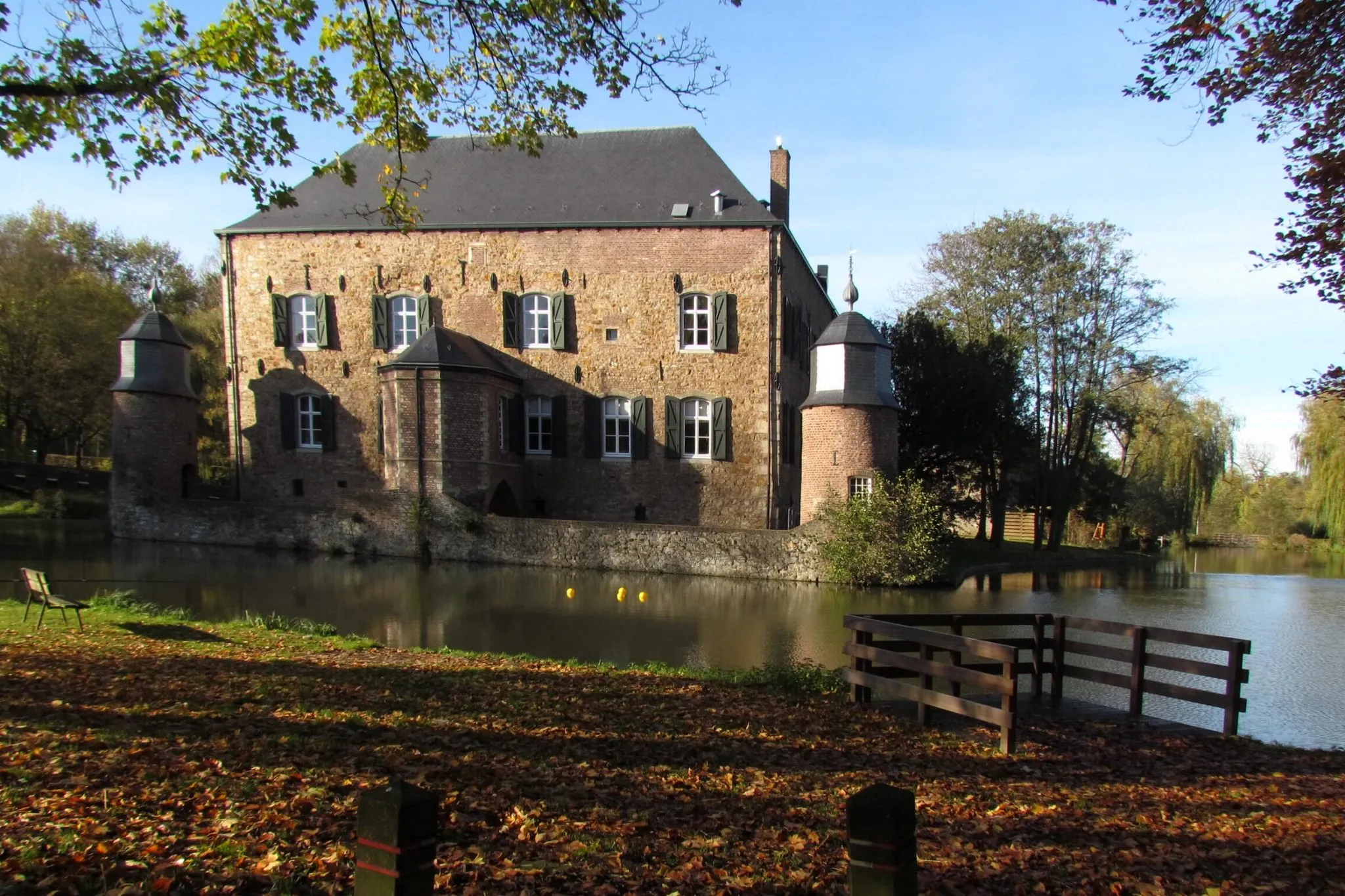
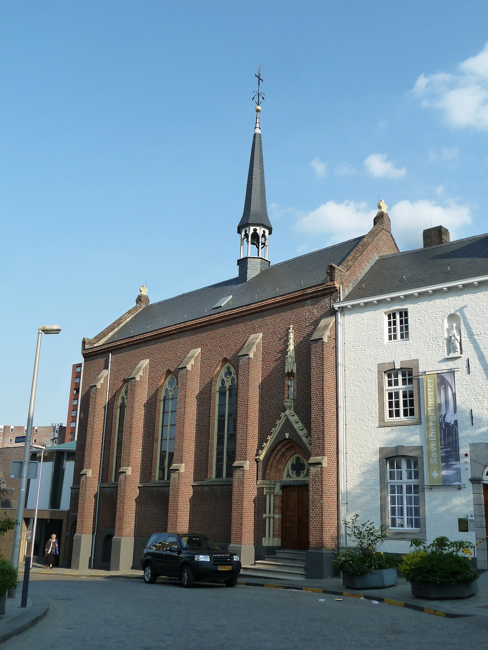
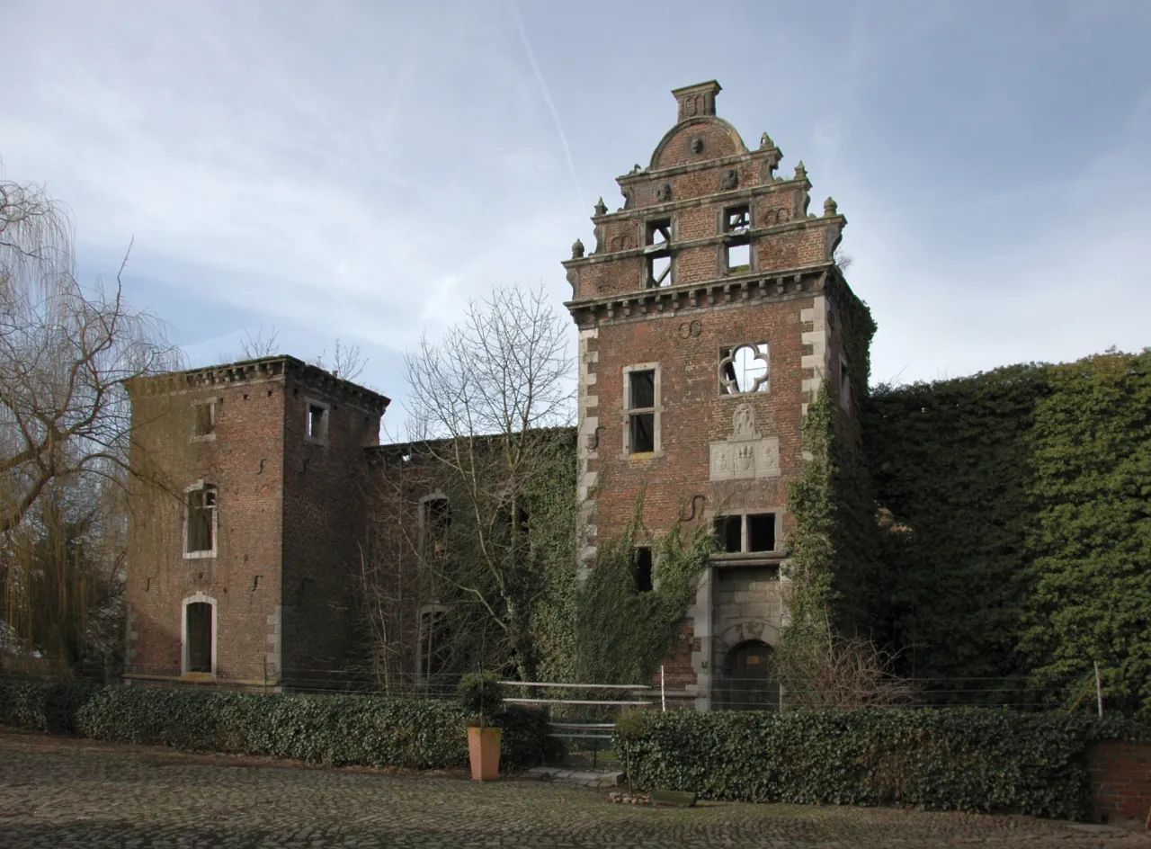
Kalvarienberg145 mPeakPass by the picturesque Kalvarienberg and admire the breathtaking panoramic views at this historical pilgrimage site.
20 km
20 km
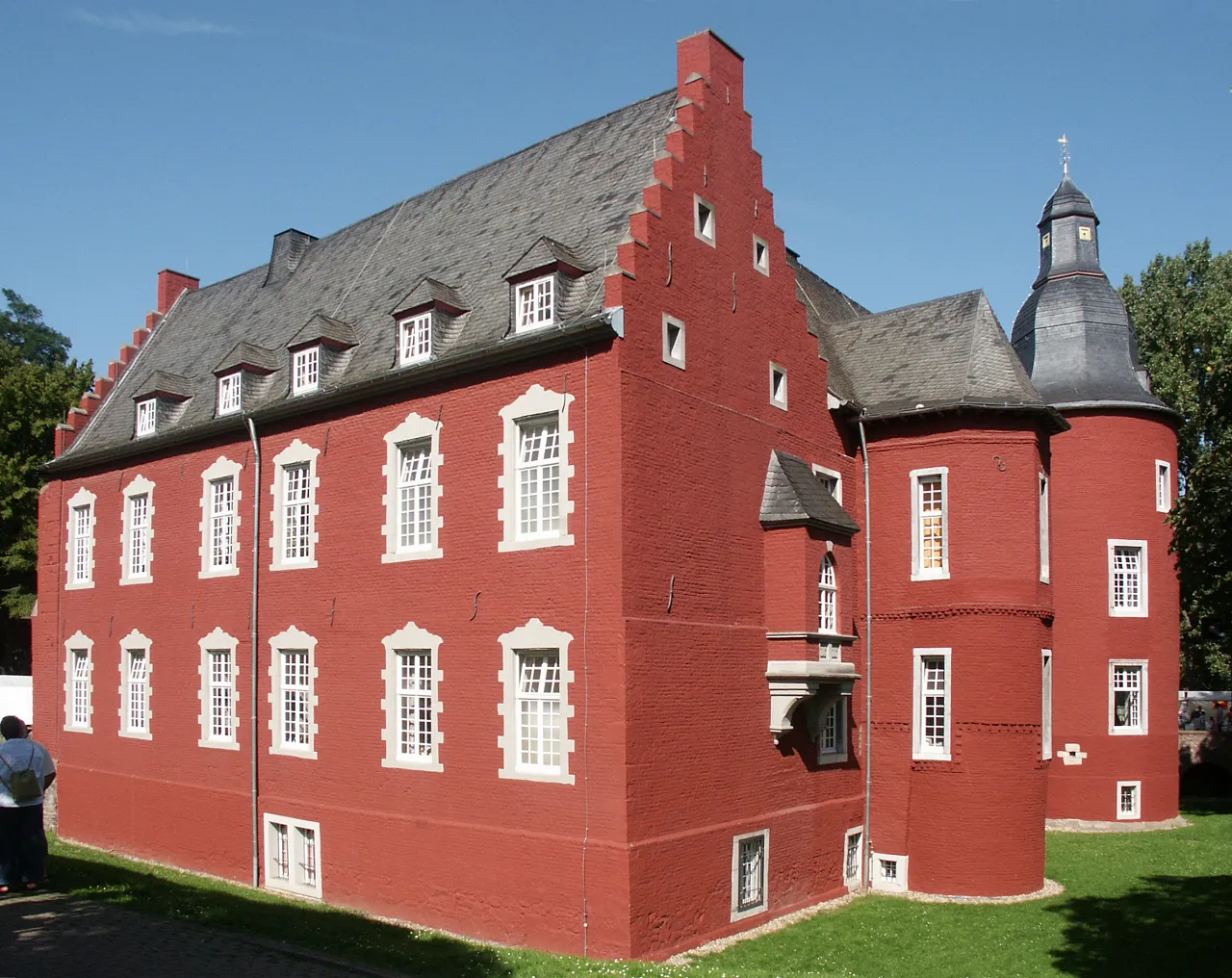
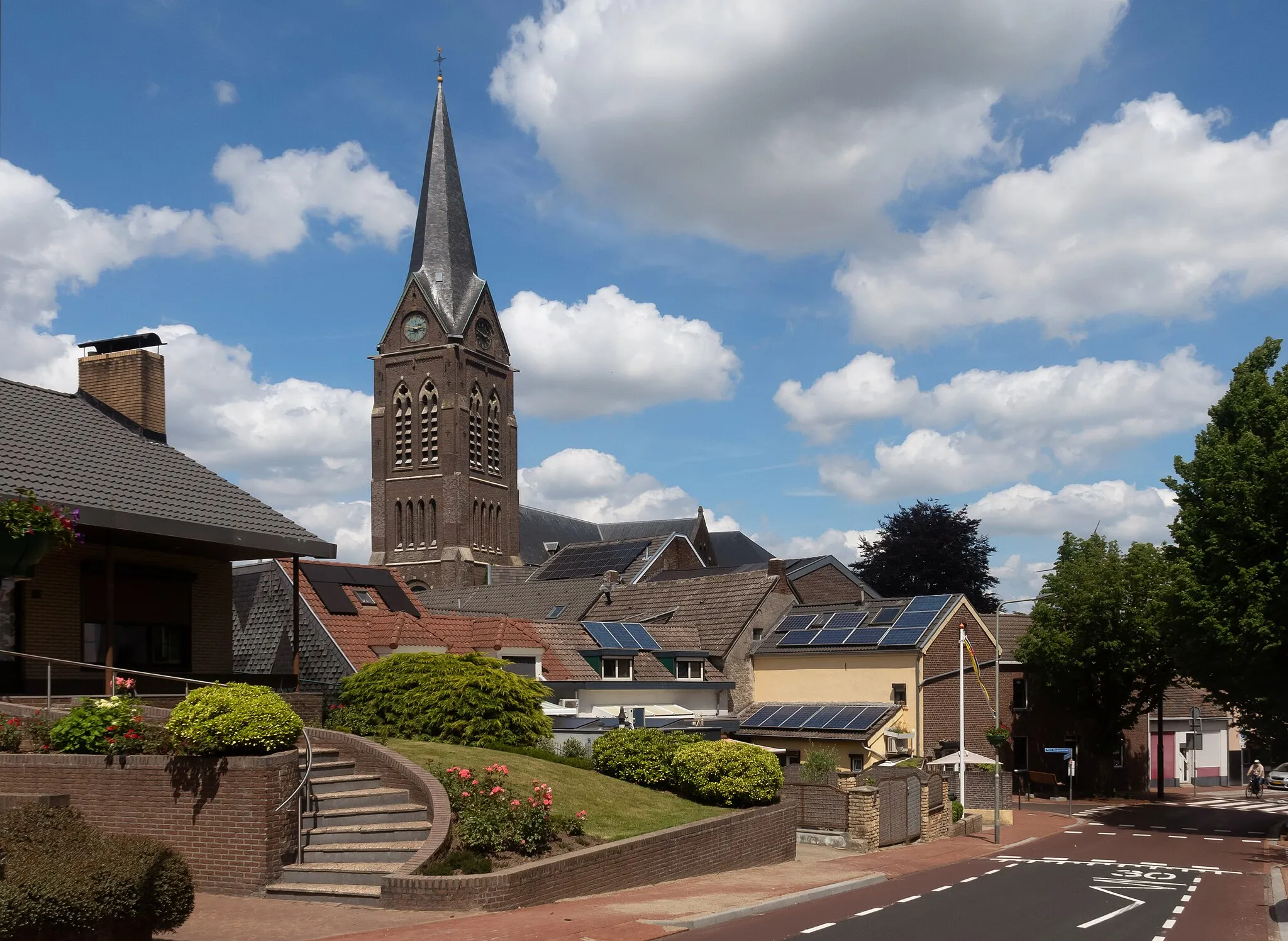
FronhovenVillageDiscover Fronhoven, a charming village with traditional architecture and stunning landscapes.
24 km
24 km
Aussichtsplattform Tagebau IndenViewpointVisit the Aussichtsplattform Tagebau Inden and take in the incredible views of the Inden open-pit mine.
39 km
39 km
Bergehalde Anna I246 mPeakExplore Bergehalde Anna I, a former mining site offering panoramic views of the surrounding countryside.
41 km
41 km
NoppenbergSub-urbClimb up Noppenberg and marvel at the stunning vistas from the top.
43 km
43 km
Finish: Herzogenrath City centerHerzogenrath: Explore the beautiful countryside of Herzogenrath, Germany on two wheels
Cycling routes from Herzogenrath:
Merkstein to Schöne Aussicht Loop Herzogenrath to Bergehalde Anna I Loop Herzogenrath Gravel Ride to Eygelshoven Scenic gravel route through Wissengracht and Eygelshoven Gravel route through Zopper Hof and Anna II Road route through historic landmarks Road cycling route through Haaren and Gouley Gravel Adventure to Vaalserberg Gravel route through Kalvarienberg and Tagebau Inden Herzogenrath to Gressenich Loop
Cycling routes nearby: