Off-road Adventure
A gravel cycling route starting from Ossendorf
Satisfy your adventurous spirit as you tackle gravel trails and explore scenic landscapes.
Map
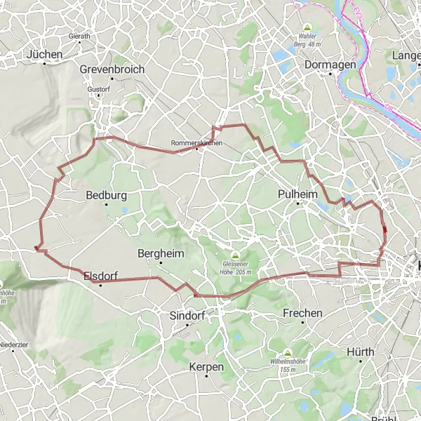
Embark on a thrilling off-road adventure through diverse landscapes surrounding Ossendorf. This gravel route offers a mix of natural beauty, challenging terrain, and the opportunity to test your mountain biking skills. With moderate difficulty and a significant ascent, it is suitable for experienced cyclists seeking an adrenaline rush.
gravel
86 km
260 m
Tough
Route profile
Highlights on the route
0 km
0 km
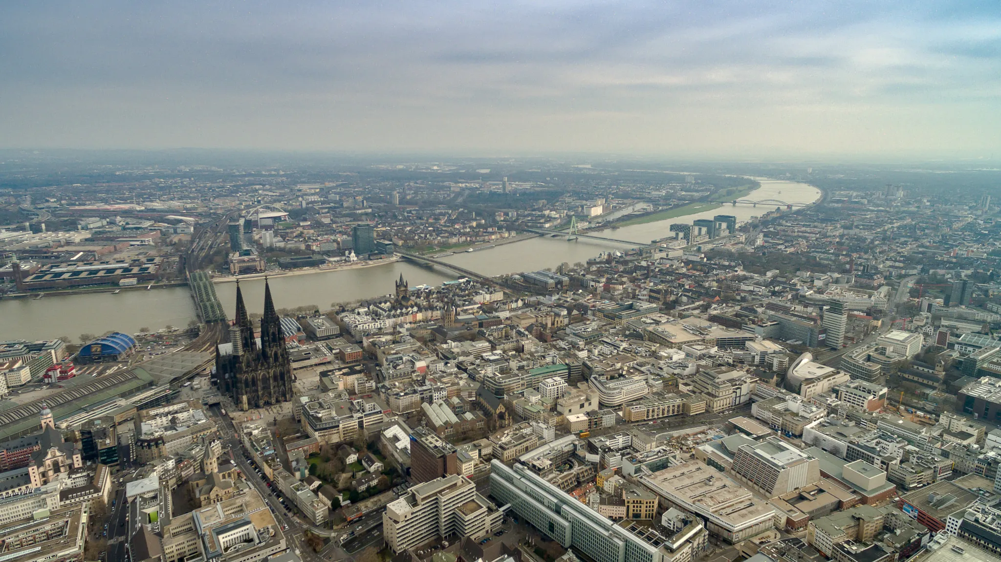
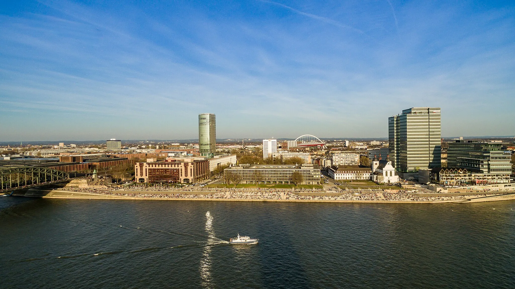
Start: Locality centerOssendorf: Cycling paradise in Germany
Ossendorf in Germany is a great locality for road and gravel cyclists. The region offers a mix of flat terrain and rolling hills, providing a variety of cycling challenges for all levels of riders. Cyclists can enjoy scenic routes through picturesque countryside, passing by charming villages and historic landmarks. A popular cycling spot nearby is the Hohenzollern Bridge, which offers stunning views of the city of Cologne. With its cyclist-friendly infrastructure and beautiful landscapes, Ossendorf is a top choice for cyclists looking for a memorable cycling experience.5 km
5 km
Höchster Punkt VogelsangsViewpointHöchster Punkt Vogelsangs offers awe-inspiring views of the surrounding countryside, making it a great spot for panoramic photography.
5 km
5 km
VogelsangSub-urbVogelsang is a picturesque village with charming traditional architecture and quintessential German countryside views.
22 km
22 km
Quadrath-IchendorfVillageQuadrath-Ichendorf boasts a beautiful castle surrounded by well-maintained gardens, providing an idyllic backdrop for a rest stop.
34 km
34 km
Aussichtspunkt Tagebau HambachViewpointAussichtspunkt Tagebau Hambach overlooks one of the largest open-cast lignite mines in Europe, showcasing the impressive mining operations.
43 km
43 km
PützVillagePütz is a delightful village famous for its well-preserved medieval church and cozy, traditional pubs.
60 km
60 km
RommerskirchenVillageRommerskirchen offers the perfect blend of natural beauty and cultural heritage, with charming half-timbered houses and serene parklands.
78 km
78 km
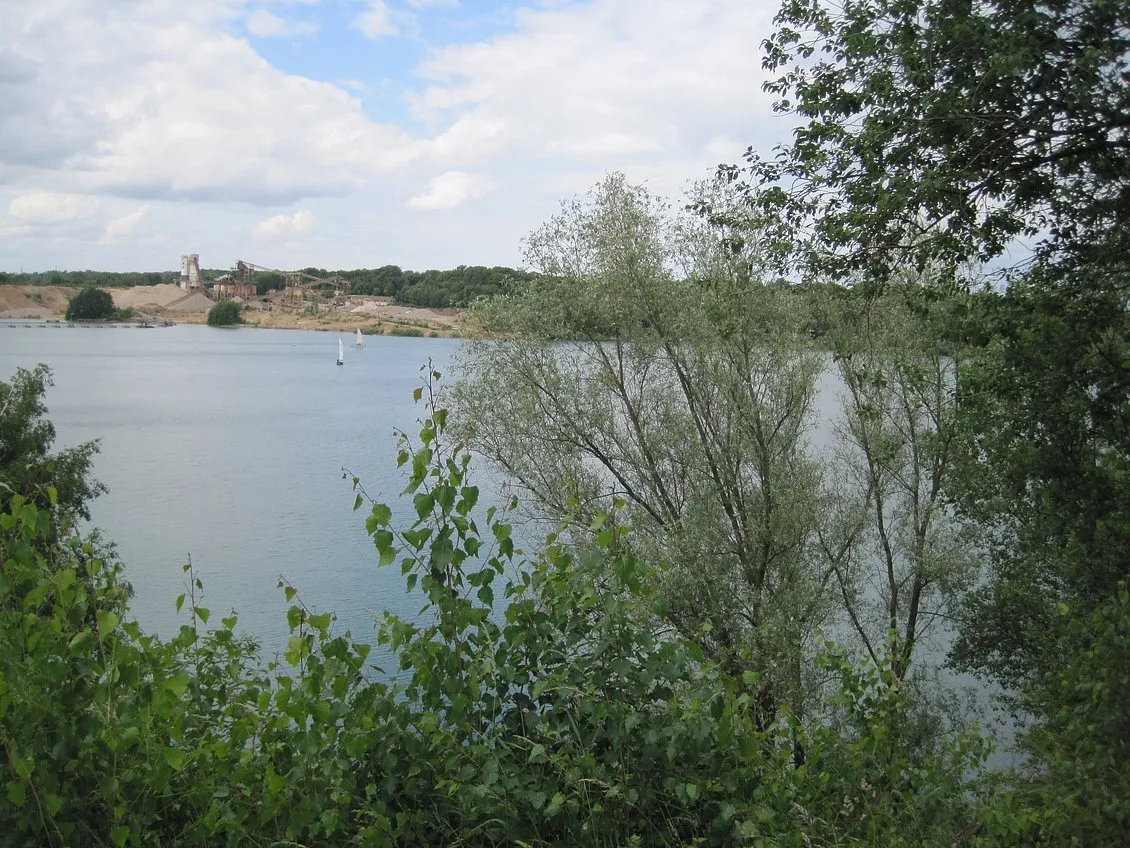
Aussichtspunkt Pulheimer SeeViewpointAussichtspunkt Pulheimer See provides breathtaking views of the Pulheimer Lake, a popular recreational spot for locals.
79 km
79 km
AuweilerVillageAuweiler is widely known for its stunning Auweiler vineyards, producing excellent wines renowned throughout the region.
86 km
86 km
Finish: Locality centerOssendorf: Cycling paradise in Germany
Cycling routes from Ossendorf:
River Rhine and Historic Highlights Picturesque Landscapes and Famous Landmarks Exploring Nature and Rustic Charms Scenic Views and Natural Wonders Historical Treasures and Scenic Landscapes Winding Through the Villages Off-road Adventure Picturesque Countryside Countryside Challenge Gravel Adventure Road Cycling from Ossendorf
Cycling routes nearby: