The Bad Münstereum Loop
A road cycling route starting from Rheinbach
Embark on an adventurous road cycling journey to the picturesque town of Bad Münstereifel.
Map
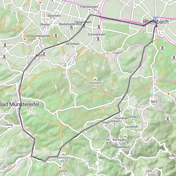
The Bad Münstereifel Loop is an adventurous road cycling route that will take you from Rheinbach to the picturesque town of Bad Münstereifel. With a total distance of 46 kilometers and an elevation gain of 562 meters, this route offers a challenging yet rewarding cycling experience. Along the way, you'll pass through the scenic countryside of Blitzenberg, Houverath, Kopnück, and Flamersheim before reaching your destination. Once in Bad Münstereifel, take some time to explore its historic center, known for its well-preserved medieval city walls and charming streets.
road
46 km
562 m
Tough
Route profile
Highlights on the route
0 km
0 km
Start: Rheinbach City centerRheinbach: Exploring Rheinbach's Cycling Magic
Rheinbach is a delightful town situated in the region of Köln, Germany. It offers excellent cycling routes and beautiful countryside roads, surrounded by picturesque landscapes. For road cyclists, the nearby Schöneberg climb is a popular challenge. Rheinbach also has cyclist-friendly infrastructure and amenities, making it a convenient destination for cyclotourism. With its scenic charm and cycling-friendly environment, Rheinbach is a recommended spot for cyclists of all levels.6 km
6 km
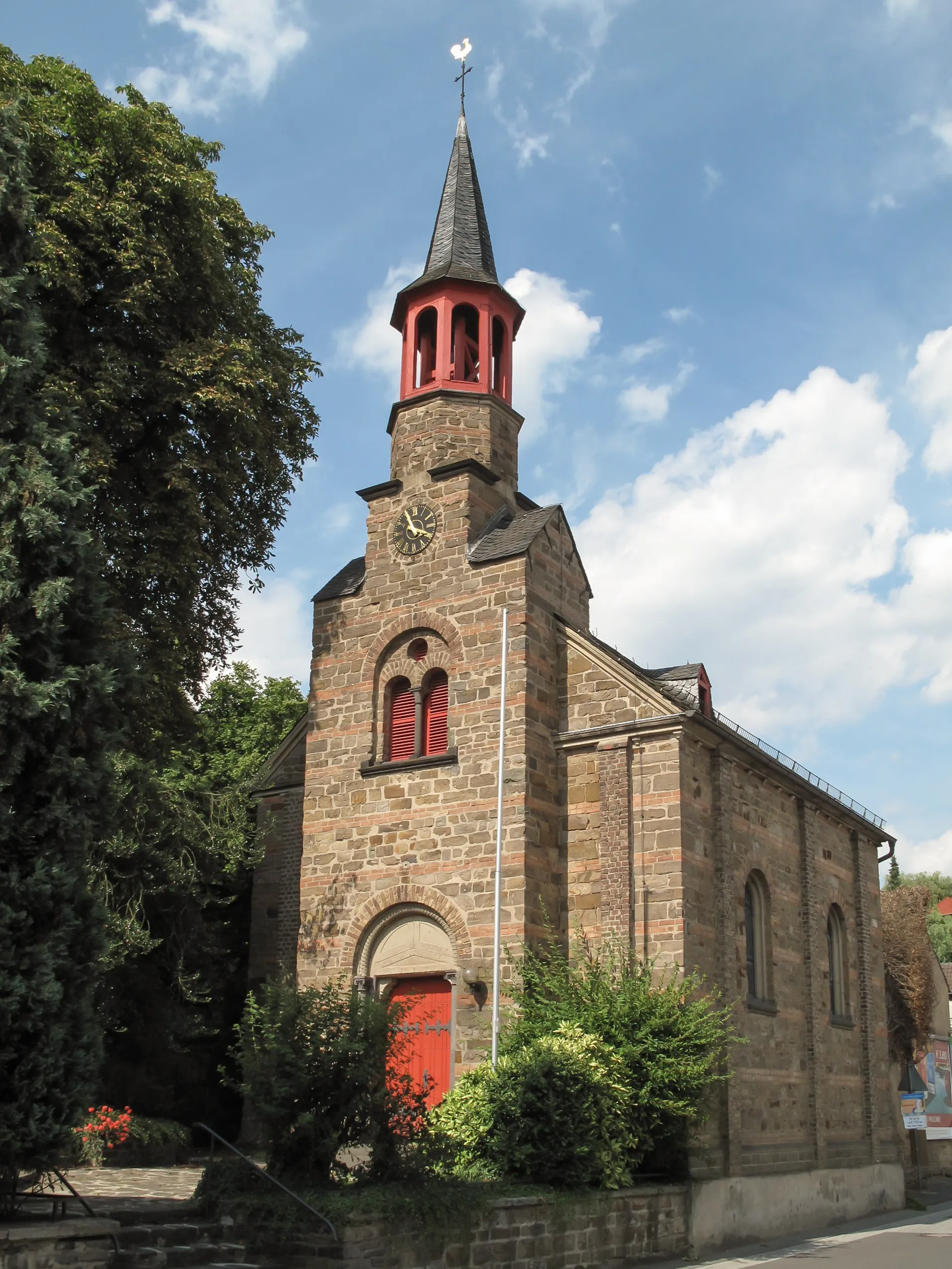
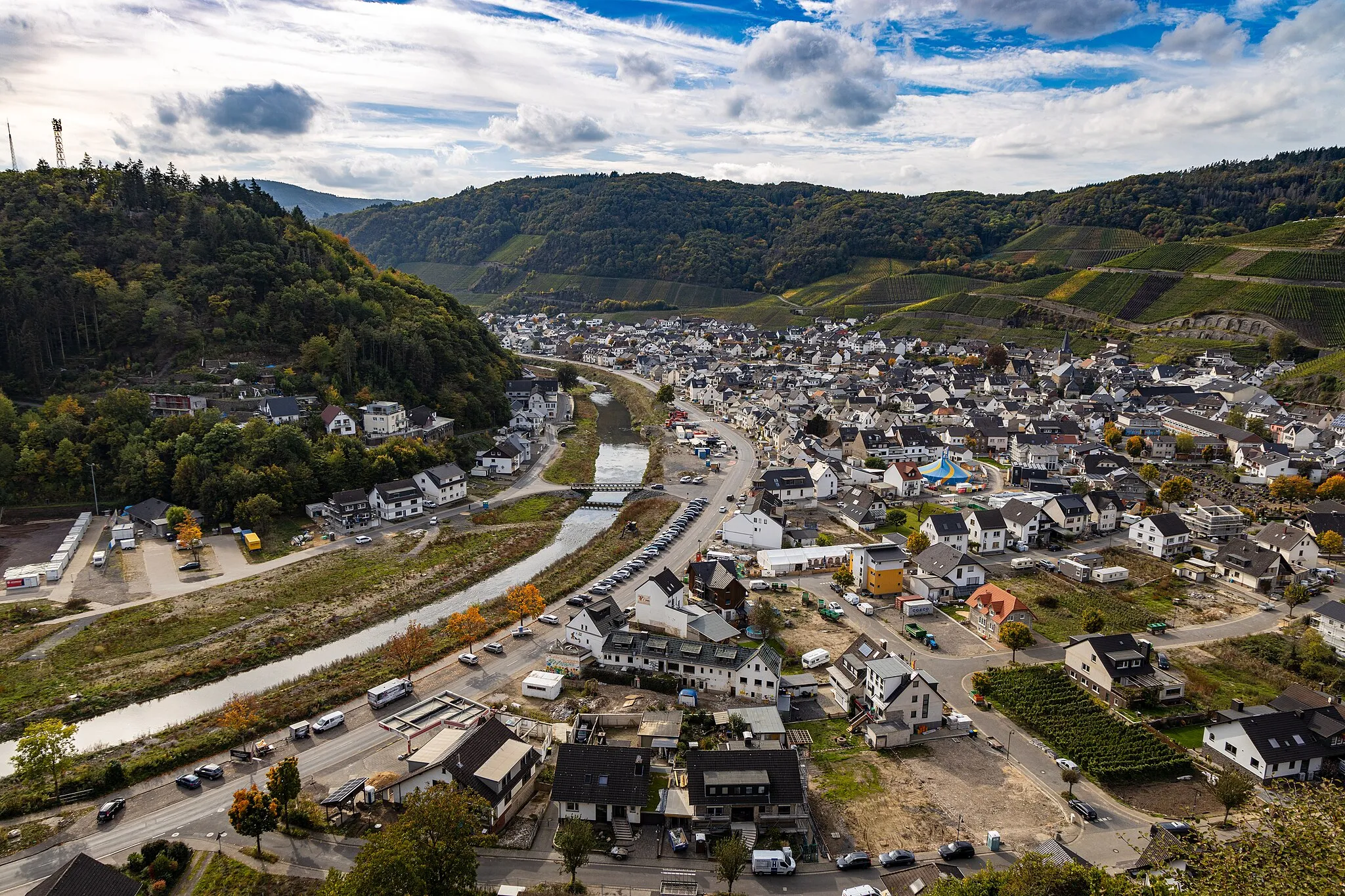
Blitzenberg392 mPeakBlitzenberg is a small village with a rich agricultural history and beautiful rural landscapes.
10 km
10 km
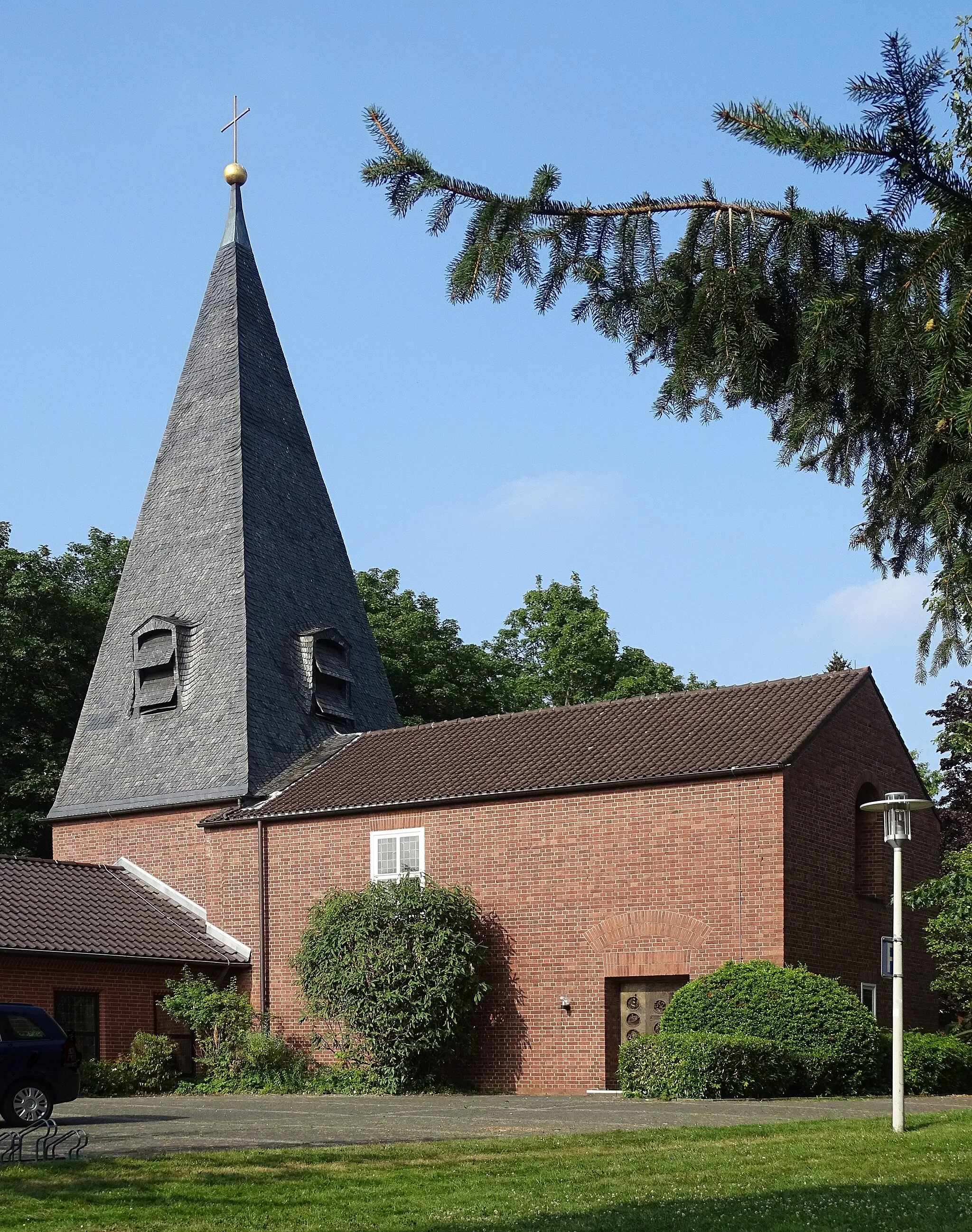
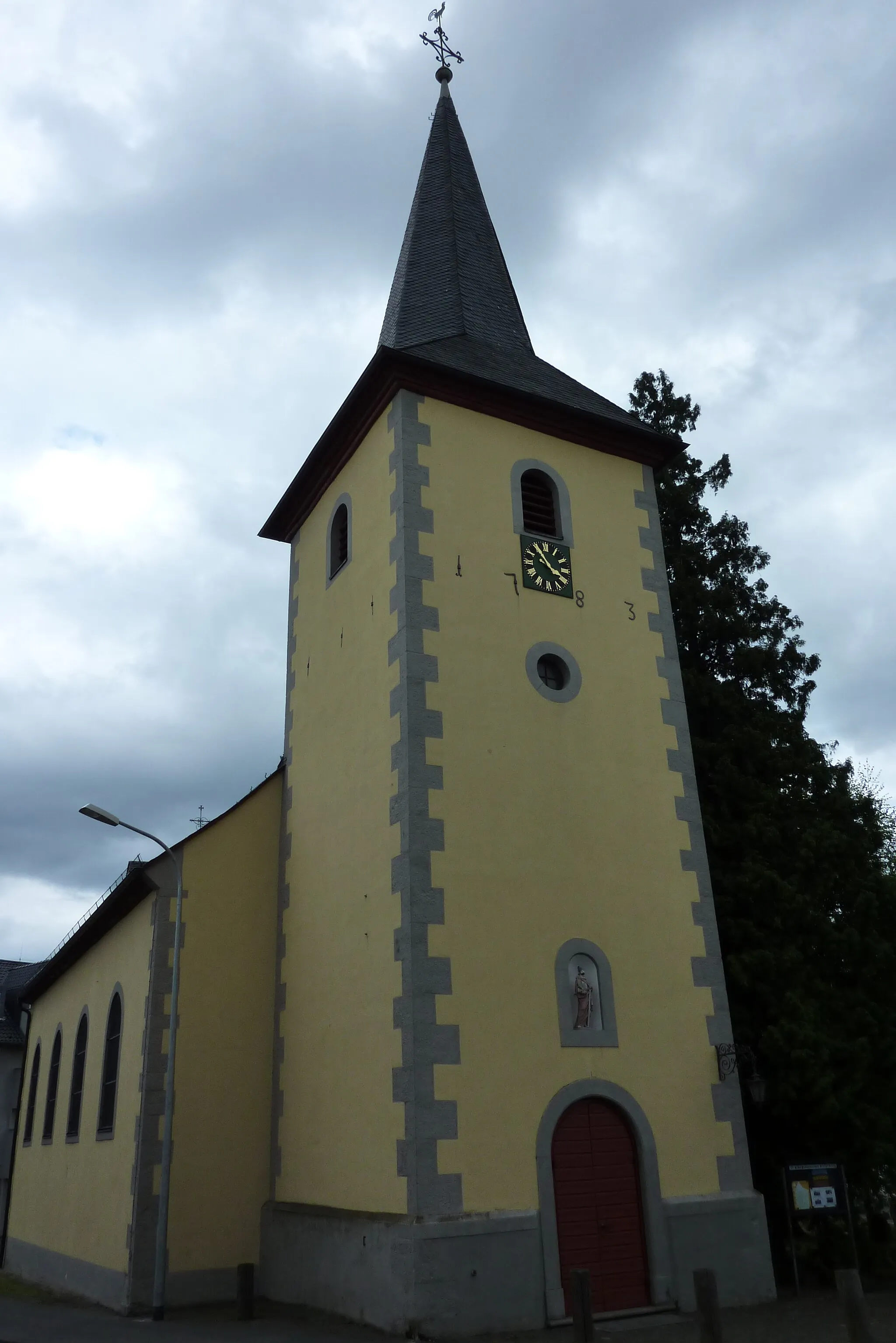
HouverathVillageHouverath is a idyllic village known for its traditional half-timbered houses and peaceful surroundings.
19 km
19 km
Kopnück514 mPeakKopnück is a scenic viewpoint that offers breathtaking vistas of the surrounding countryside.
26 km
26 km
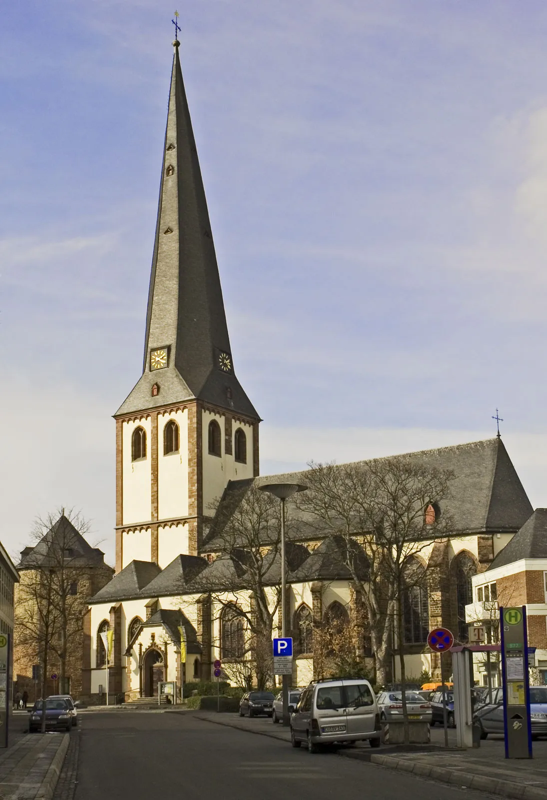
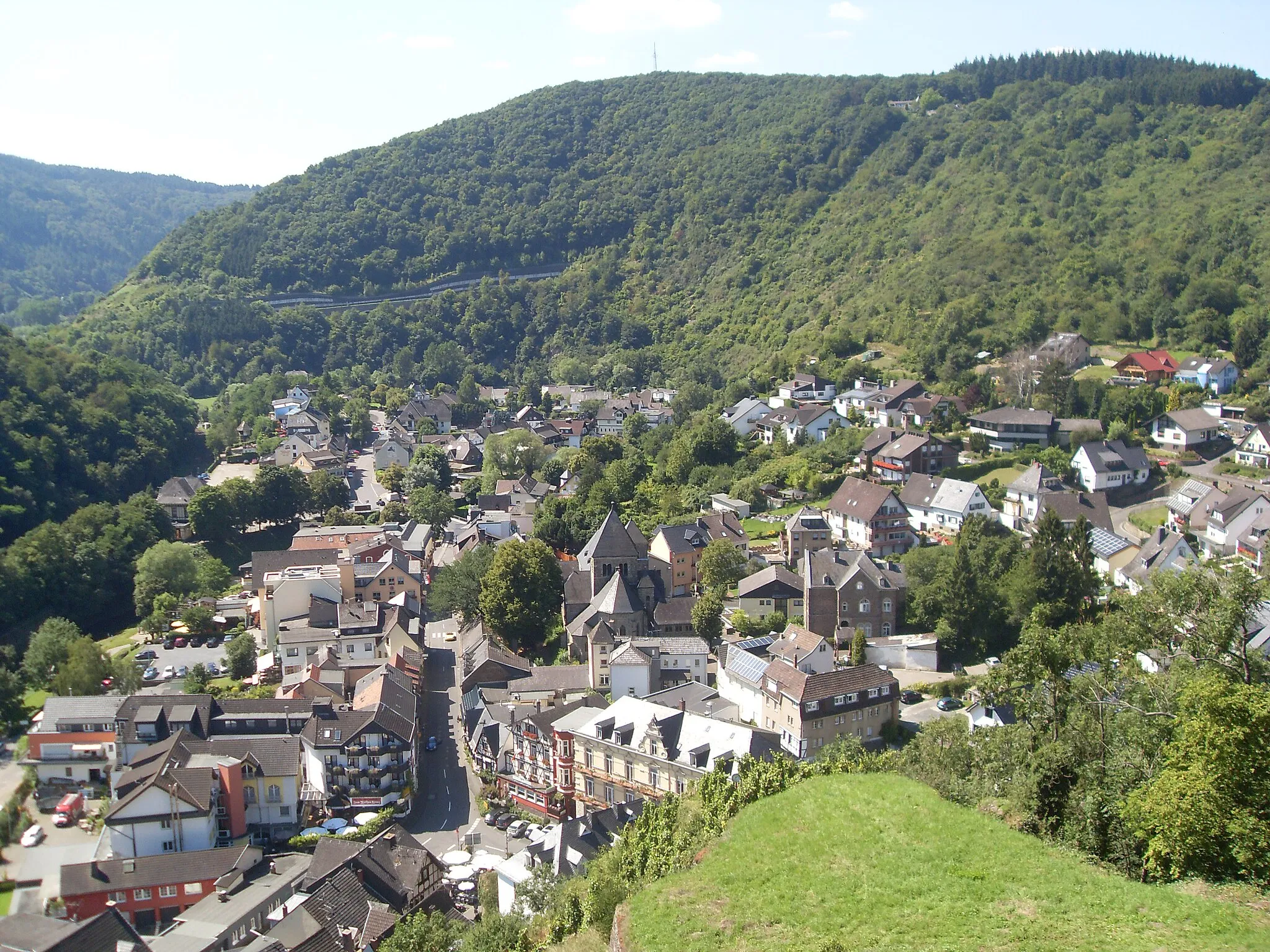
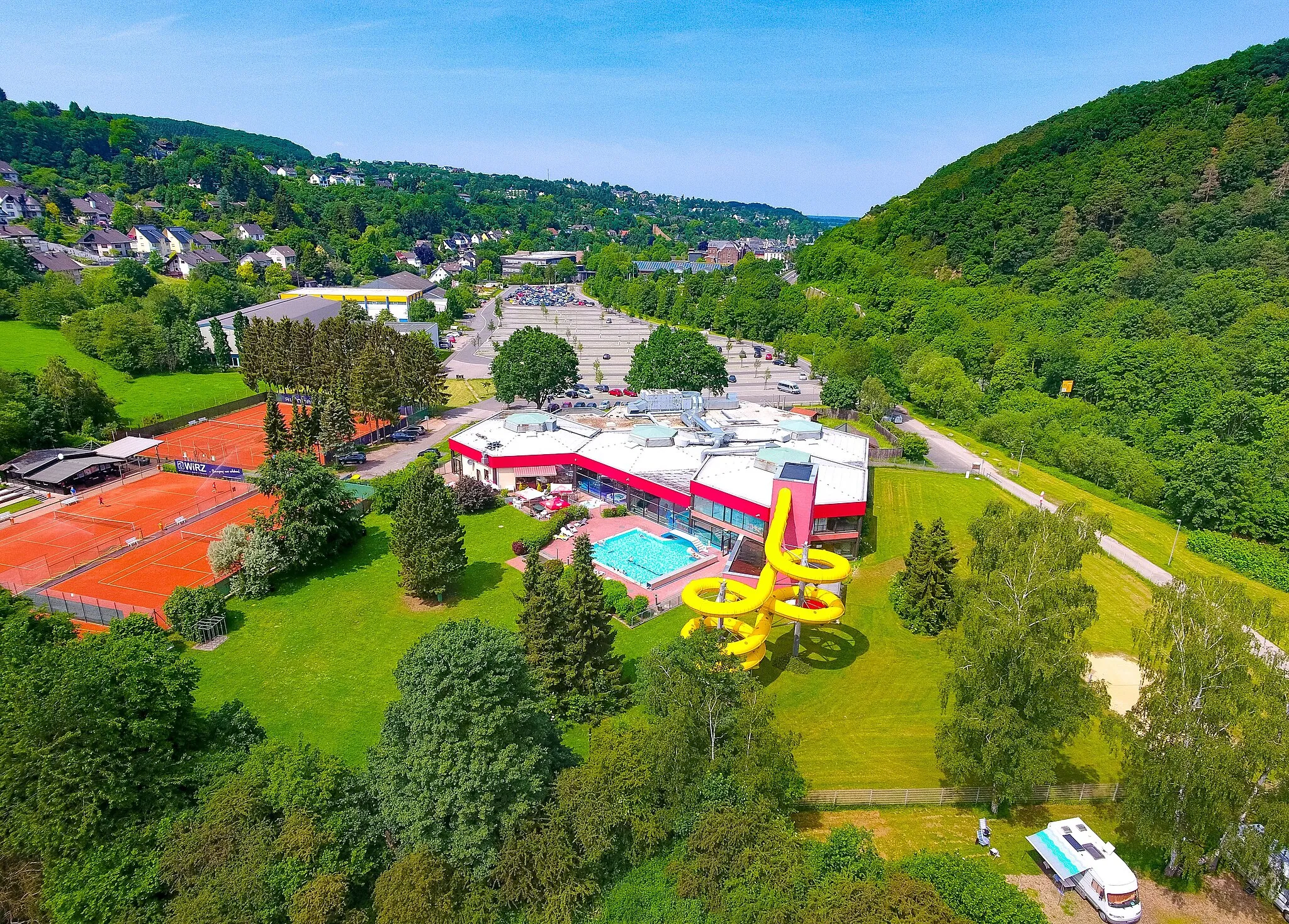
Bad MünstereifelTownBad Münstereifel is a charming town famous for its well-preserved medieval city walls and historic center.
33 km
33 km
Alter Burgberg272 mPeakWhile in Bad Münstereifel, don't miss the opportunity to climb to the top of the Alter Burgberg for panoramic views.
38 km
38 km
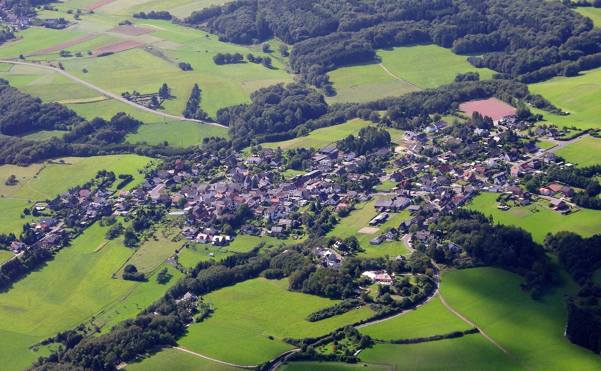
FlamersheimVillageFlamersheim is a small village with beautiful rural landscapes and a charming village center.
46 km
46 km
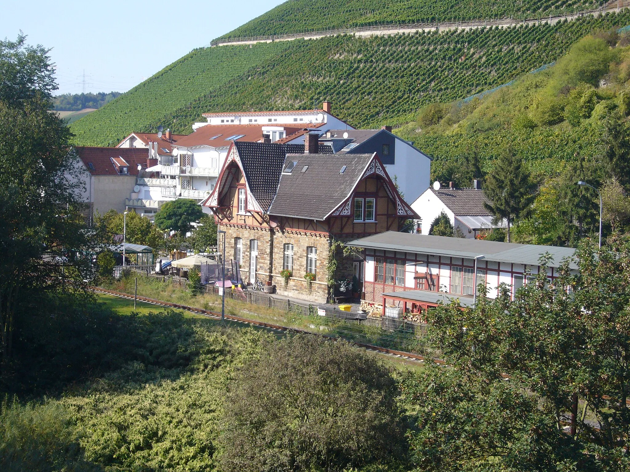
historisches Vor- u. HauptsignalAttractionVisit the historical Vor- u. Hauptsignal, a unique railway signal tower with an interesting history.
46 km
46 km
Finish: Rheinbach City centerRheinbach: Exploring Rheinbach's Cycling Magic
Cycling routes nearby: