Grevenbroich Historic Route
A road cycling route starting from Titz
Explore the rich history of Grevenbroich on this road cycling route
Map
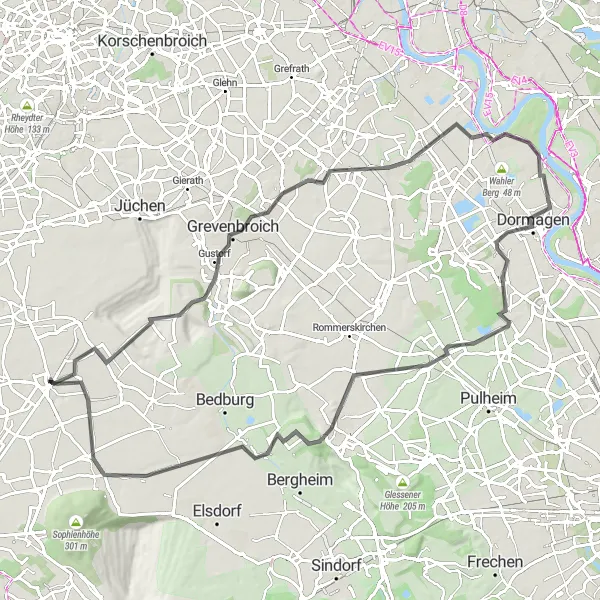
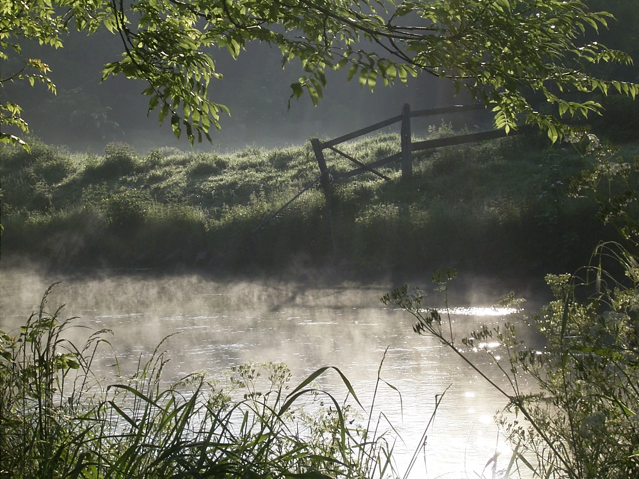
This road cycling route starting near Titz will take you on a journey through the historic town of Grevenbroich. With a distance of 93 kilometers and 273 meters of ascent, it is a moderate to challenging ride suitable for well-trained amateurs. As you cycle through picturesque landscapes and charming villages, you will discover the rich history and cultural heritage of the region. The route offers a mix of flat sections, gentle climbs, and scenic viewpoints, providing a varied and enjoyable cycling experience.
road
93 km
273 m
Tough
Route profile
Highlights on the route
0 km
0 km
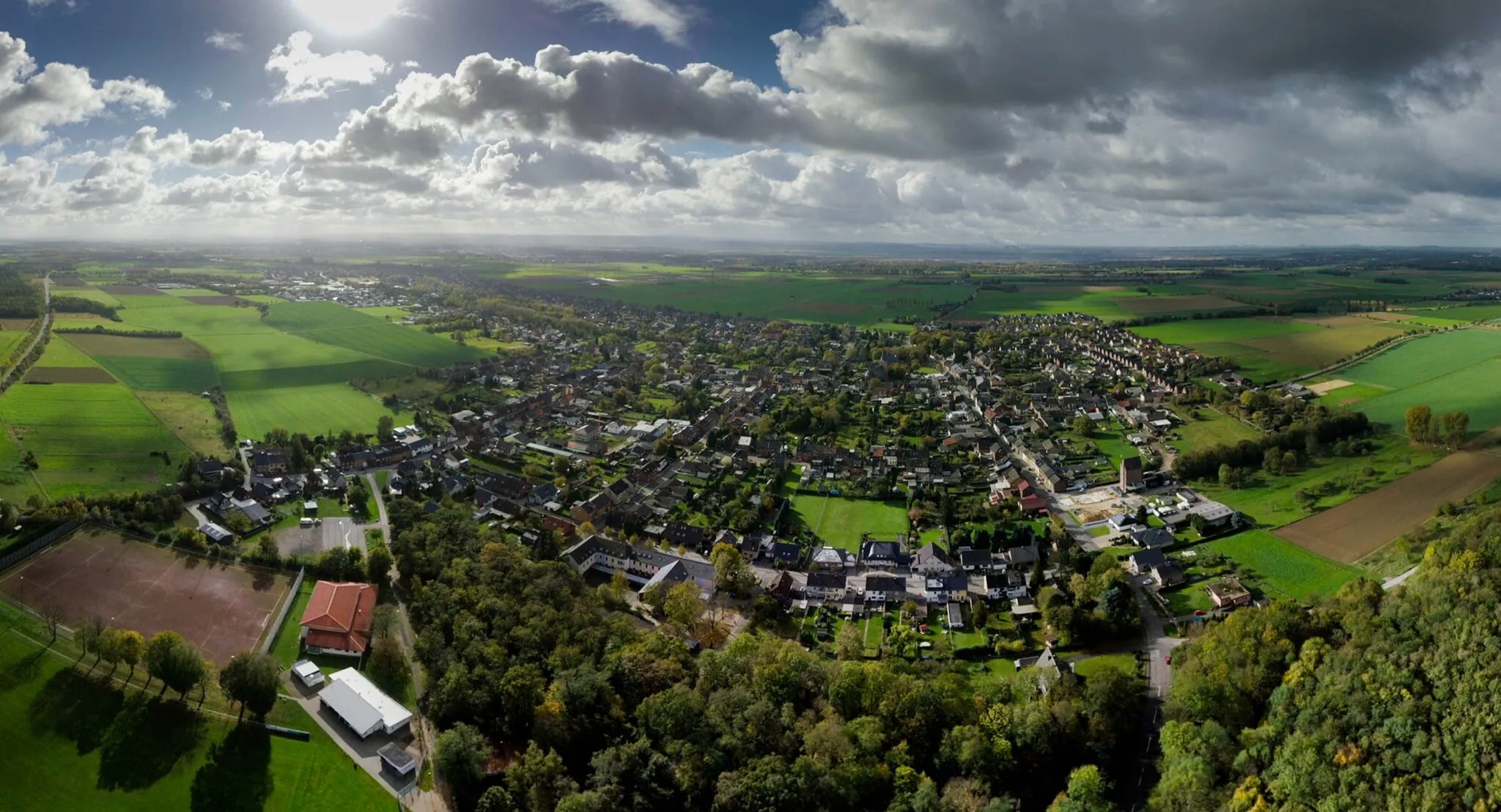
Start: Titz Village centerTitz: Cycling tranquility in Titz
Titz, located in the Köln region of Germany, offers a pleasant cycling experience. With its well-paved roads and flat terrains, it is an excellent destination for both road and gravel cyclists. The locality provides a peaceful environment for cycling, away from busy urban areas. Titz does not have any famous cycling-related spots or well-known climbs nearby, but it offers a tranquil and enjoyable riding experience.17 km
17 km
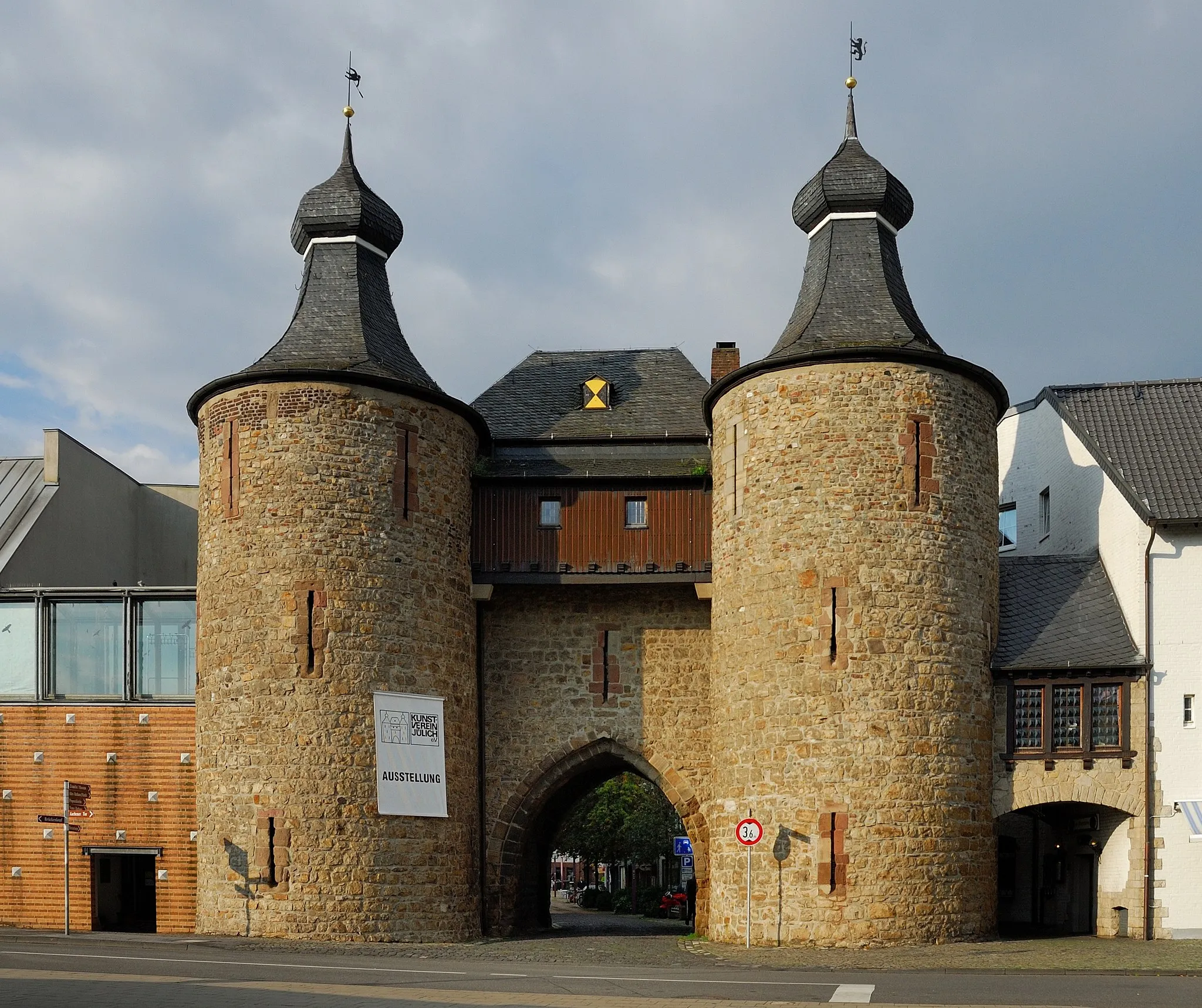
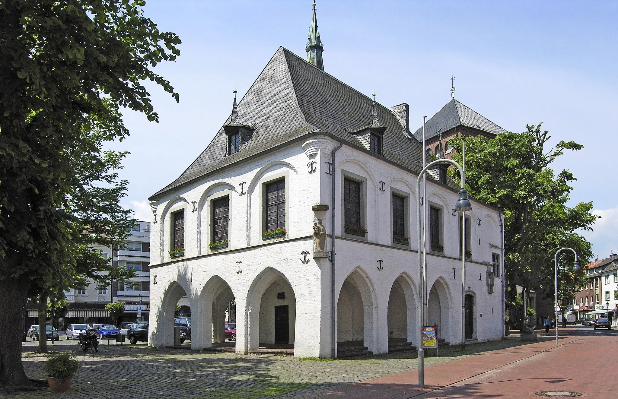
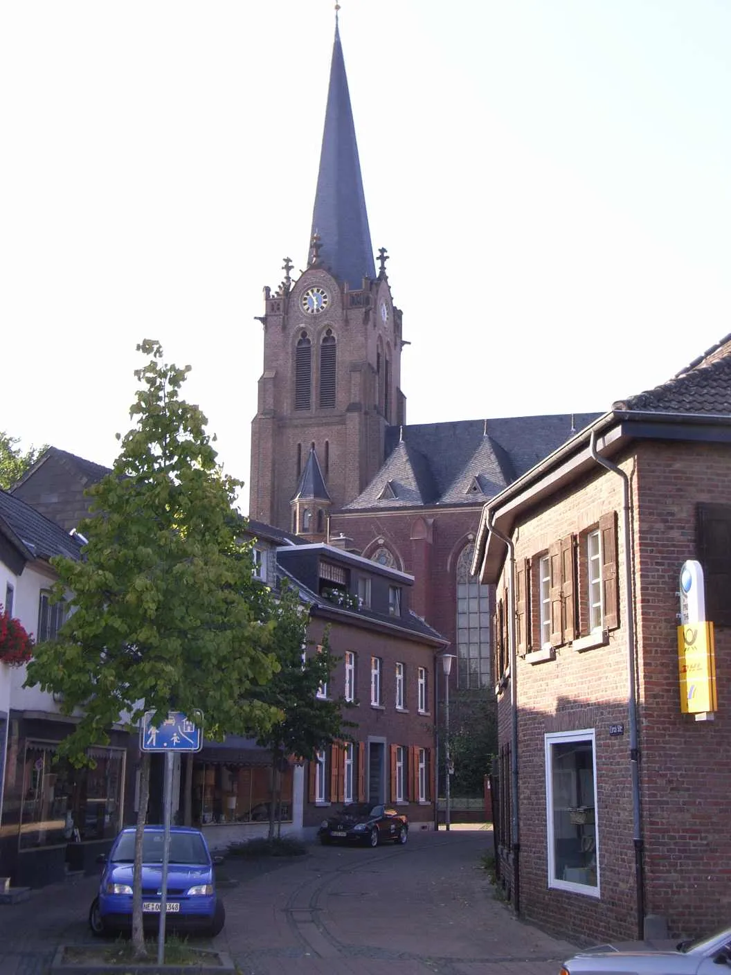
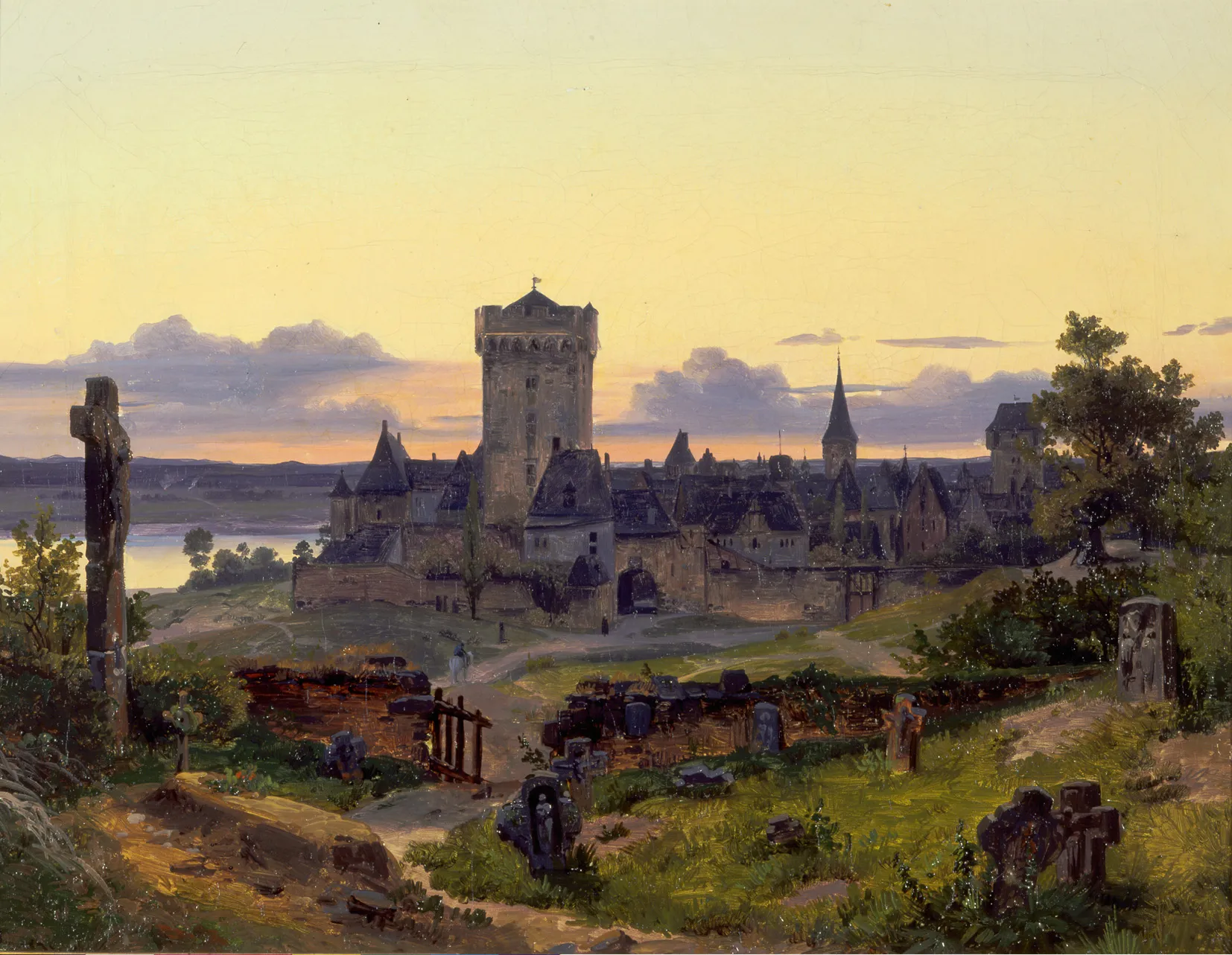
GrevenbroichTownGrevenbroich is a historic town with a medieval castle and a charming old town.
41 km
41 km
ZonsVillageZons is a well-preserved medieval town with picturesque streets, historic buildings, and a defensive wall.
59 km
59 km
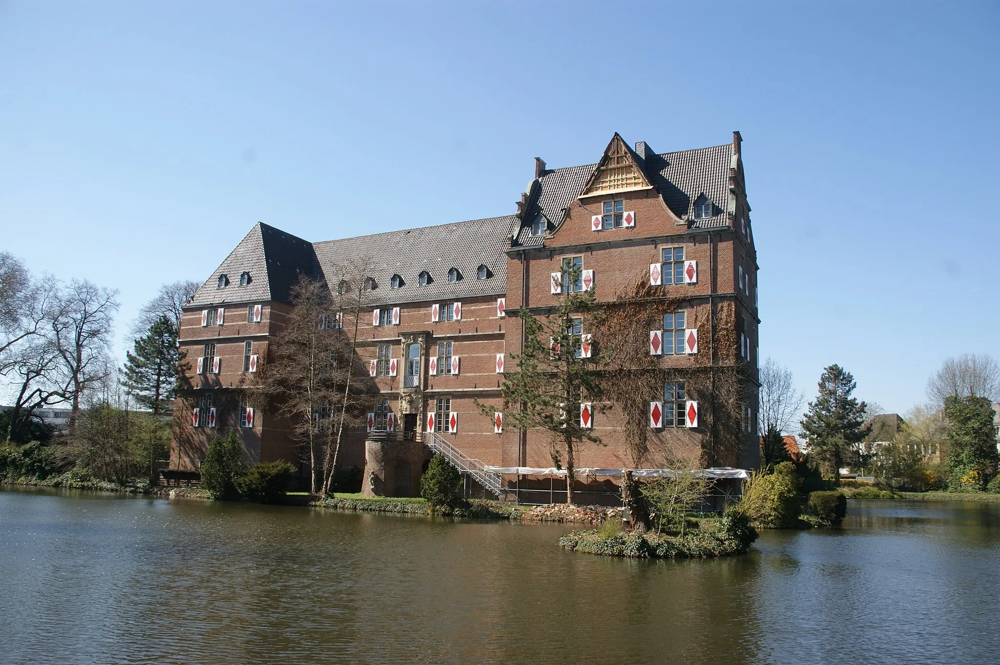
StommelnVillageStommeln is home to Schloss Stommeln, a magnificent castle with beautiful gardens and an interesting history.
68 km
68 km
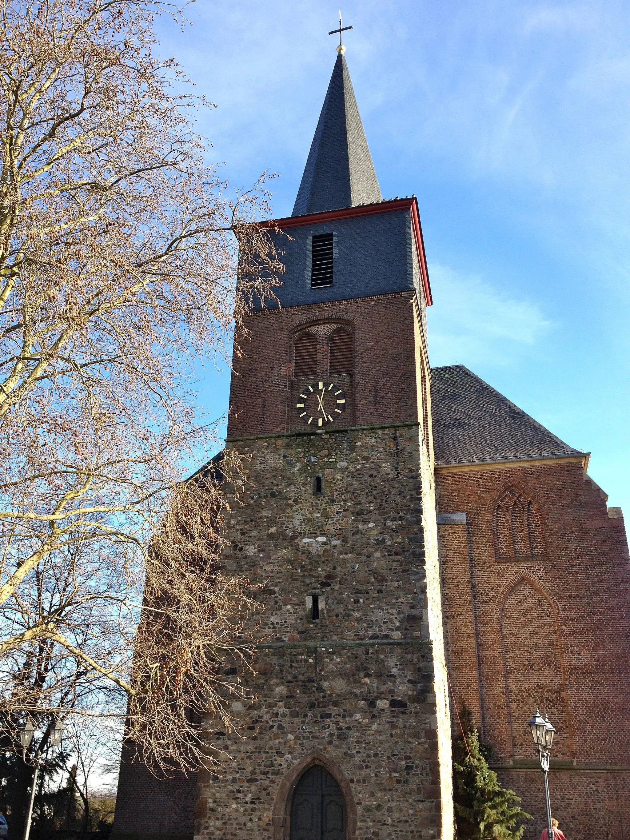
NiederaußemVillageNiederaußem is known for its charming half-timbered houses and a lovely castle.
70 km
70 km
Bethlehemer Höhe124 mPeakBethlehemer Höhe is a scenic hill with panoramic views over the surrounding countryside.
89 km
89 km
KalrathVillageKalrath is a small village with traditional German architecture and a peaceful rural setting.
93 km
93 km
Finish: Titz Village centerTitz: Cycling tranquility in Titz
Cycling routes nearby: