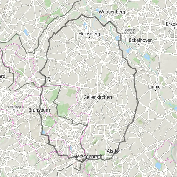
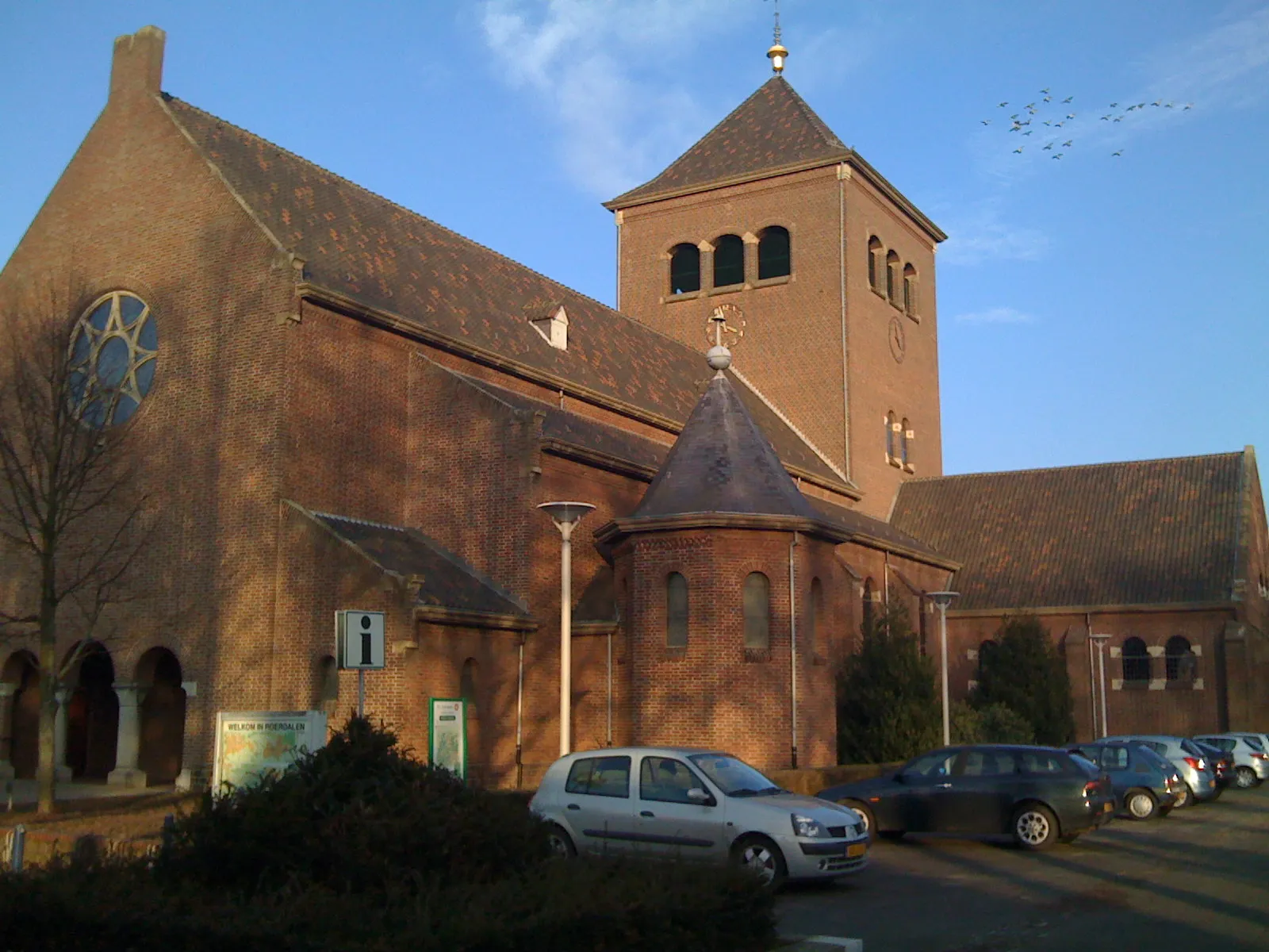
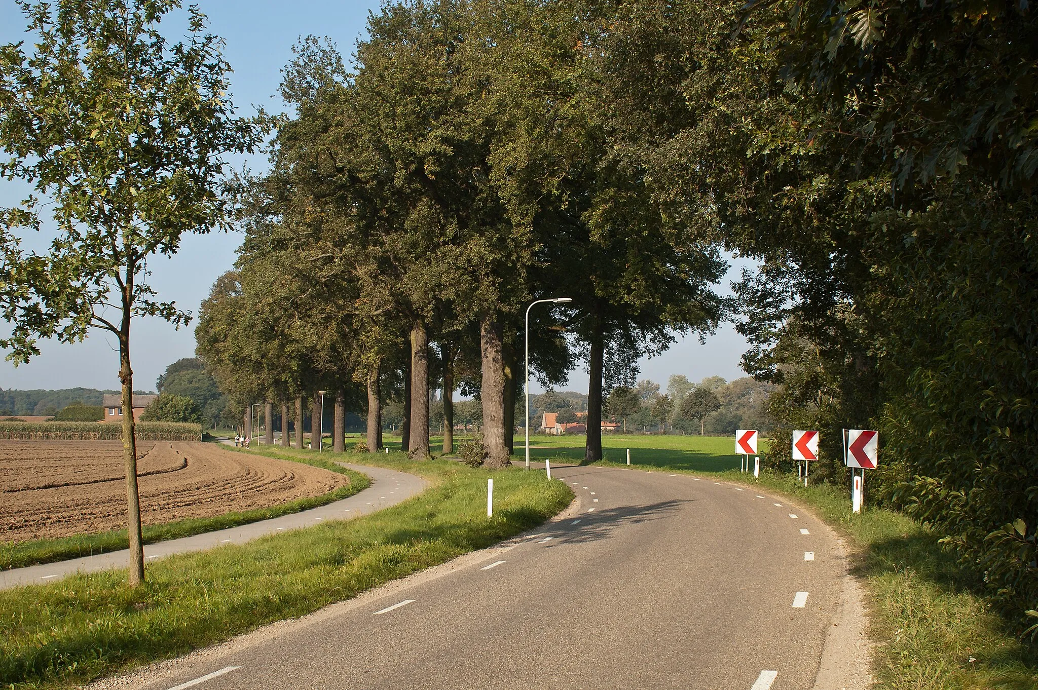
Charming town with scenic routes and challenging climbs.
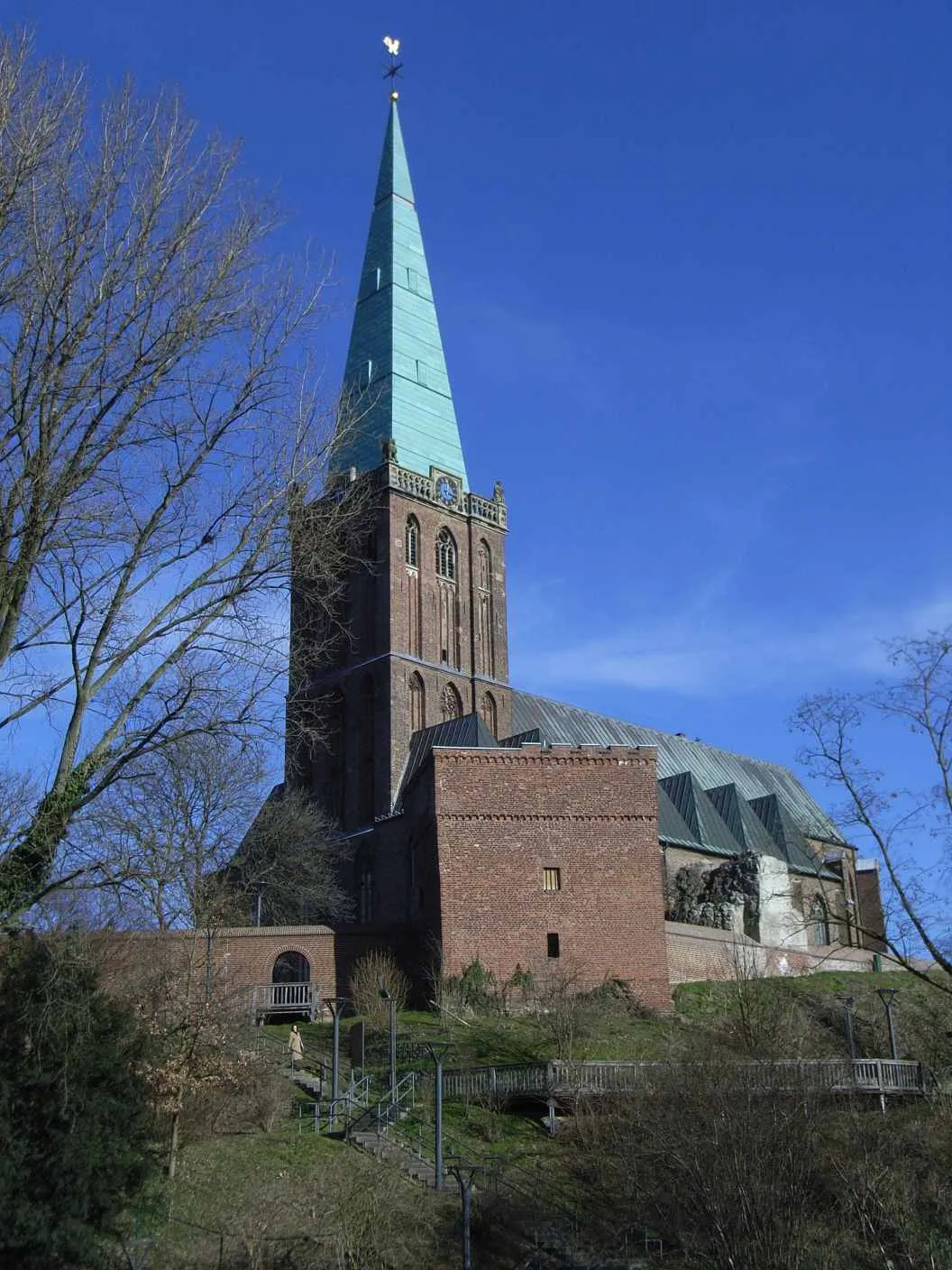
Cycling routes from Wassenberg
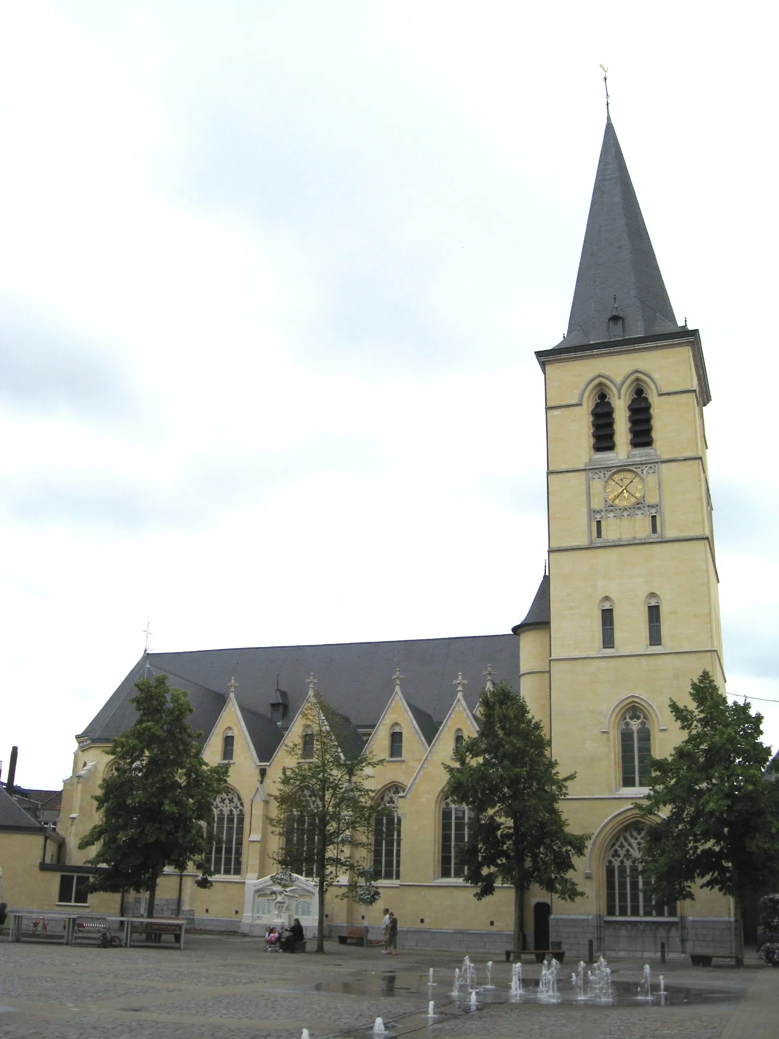
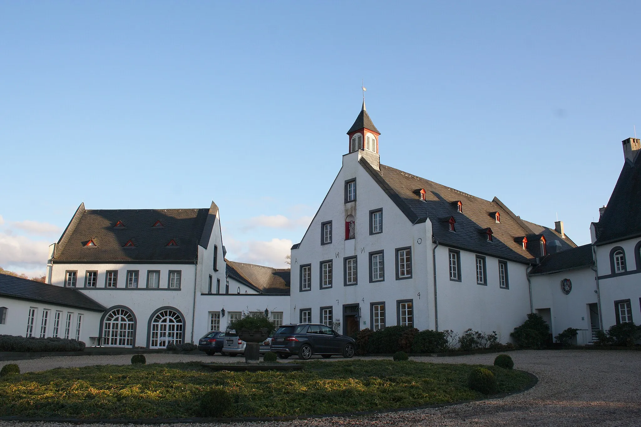
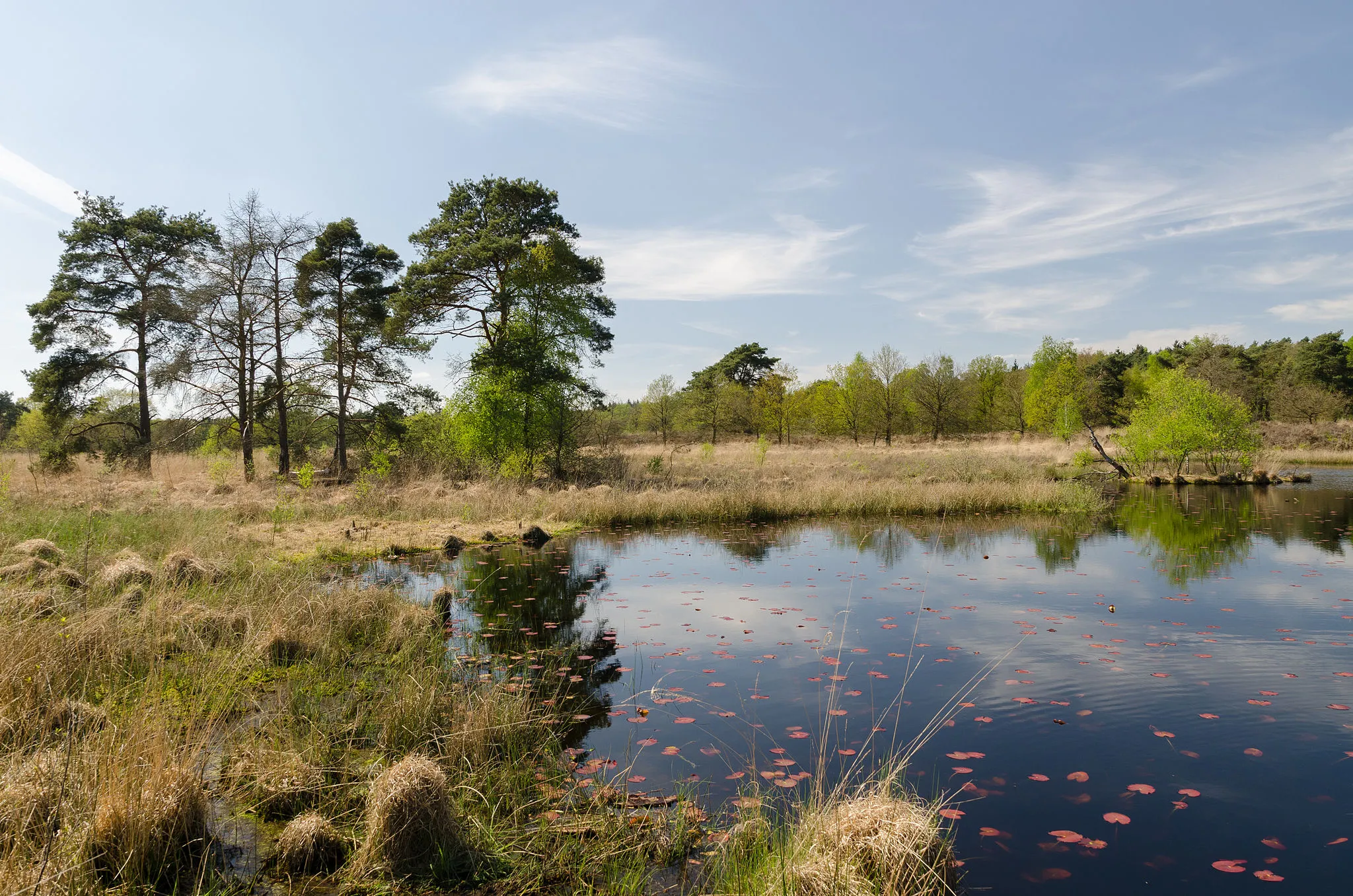
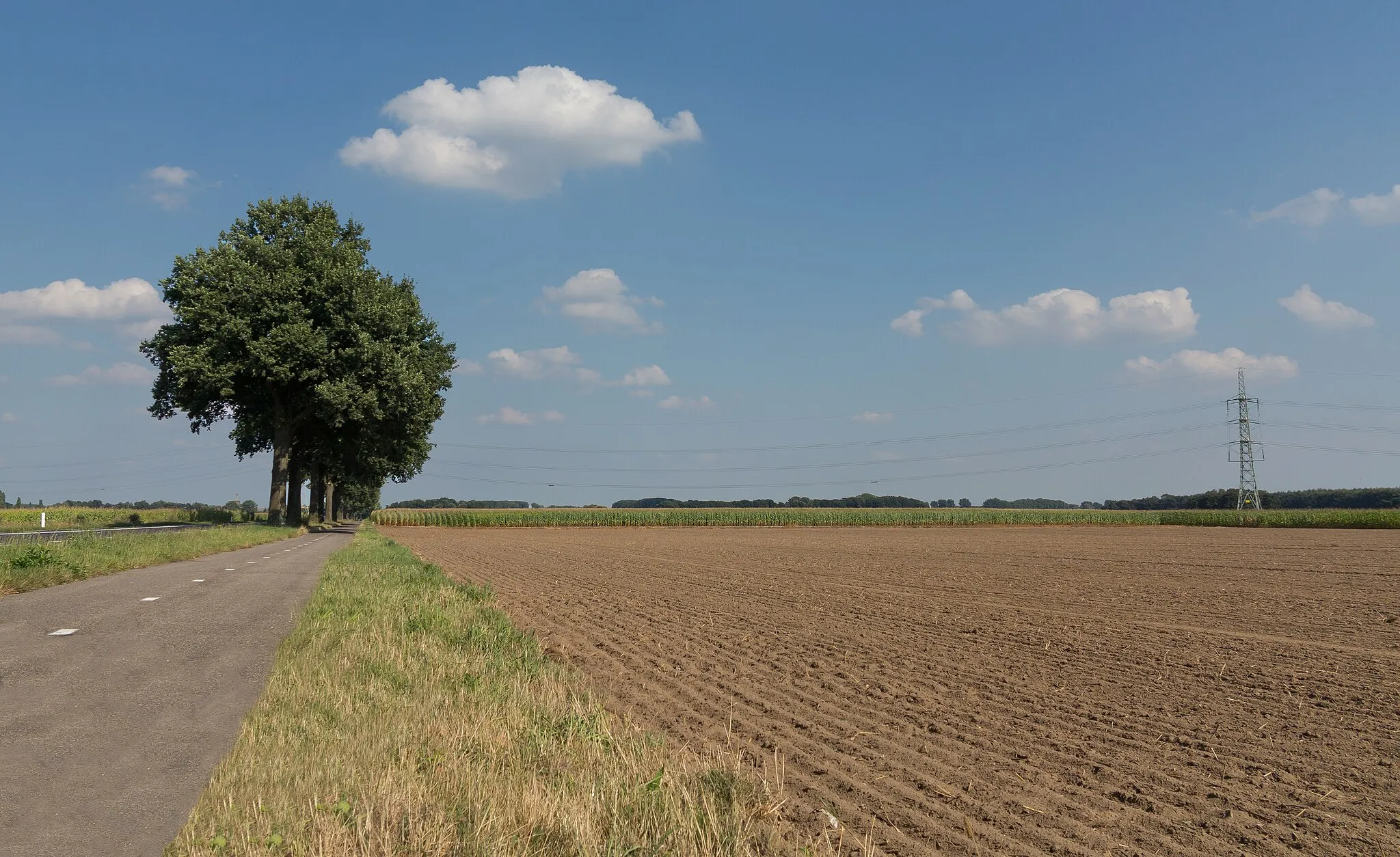
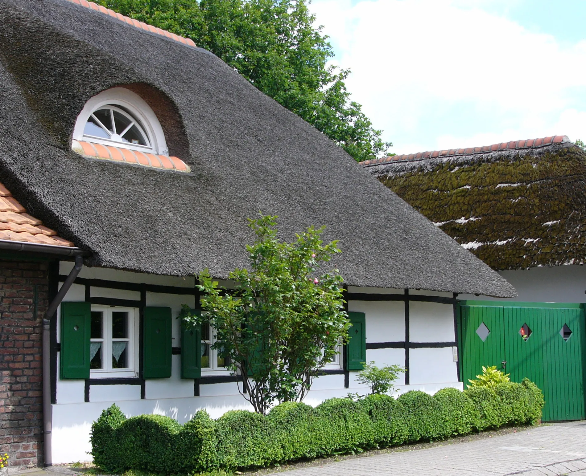
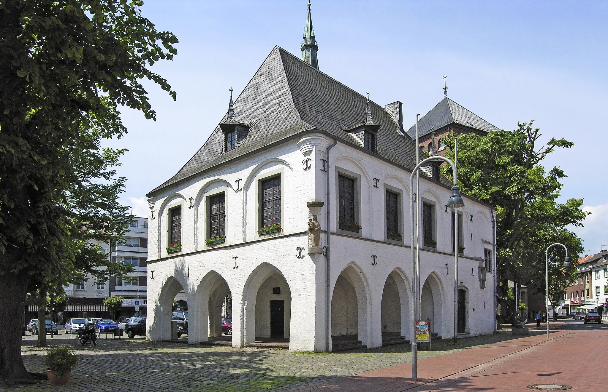
Wassenberg, located in Germany, is a charming town that offers a mix of road and gravel cycling routes. The roads in Wassenberg are well-paved and provide scenic views of the surrounding countryside. Gravel cyclists can explore the nearby Wassenberg Forest, which offers a mix of gravel paths and trails. One of the famous cycling locations near Wassenberg is the Schwalm River, known for its challenging climbs and stunning natural beauty. Overall, Wassenberg is a cyclist's paradise with its varied terrain and cycling-friendly atmosphere.
The Tower and Wetlands Route
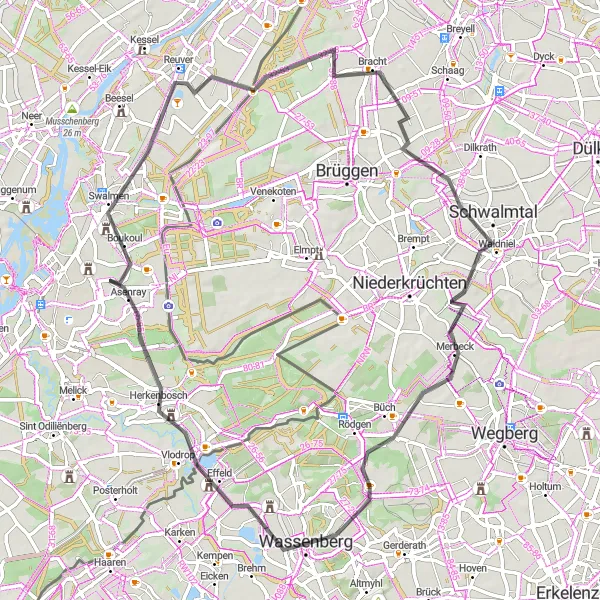
Experience the fascinating Uitkijktoren tower and the expansive Swalmen wetlands on this road cycling adventure
Embark on a 66 km road cycling journey that takes you to the impressive Uitkijktoren tower and the scenic Swalmen wetlands. With a total ascent of 178 meters, this route offers a moderate challenge for cyclists seeking beautiful natural landscapes.
The Gravel and Hillside Route
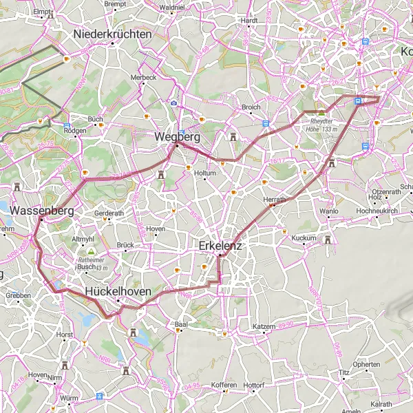
Challenge yourself on the hilly terrains as you cycle through Rheydter Höhe, Erkelenz, and Hückelhoven
Embark on a 62 km gravel cycling adventure that takes you through the hilly terrains of Rheydter Höhe, Erkelenz, and Hückelhoven. With a total ascent of 186 meters, this route offers a moderate challenge for gravel cyclists seeking varied terrain and scenic vistas.
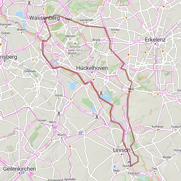
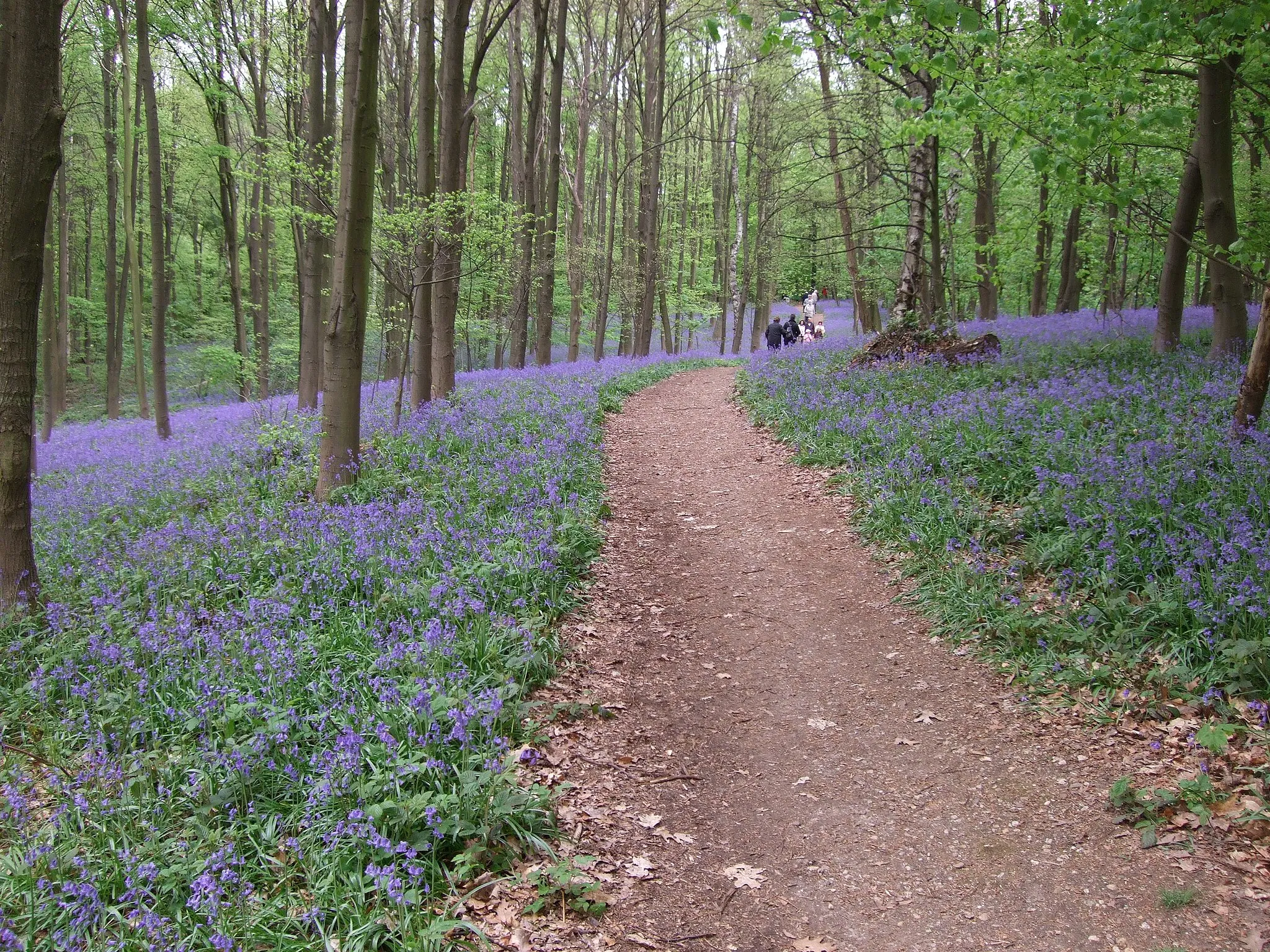
Cycle through dense forests as you explore Garsbeck, Linnich, Baal, and Wassenberg
Embark on a 47 km gravel cycling adventure that takes you through picturesque forests, including Garsbeck, Linnich, Baal, and Wassenberg. With a total ascent of 145 meters and serene forest vistas, this route offers a moderate challenge for gravel cyclists seeking a peaceful exploration of nature.
Rur Valley Loop
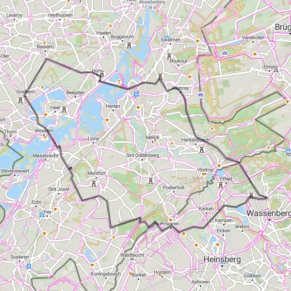
Idyllic ride through the picturesque Rur Valley
The Rur Valley Loop is a scenic cycling route that takes you through the beautiful countryside of Köln. With a total distance of 66 kilometers and an elevation gain of 145 meters, this road bike-friendly route offers a moderate challenge for amateur cyclists. You'll pass through charming towns such as Karken and Wessem, with highlights including the stunning views from Wasser.Blick 24 Rur and the historic town of Roermond. With a score of 5 for epicness, this route is sure to leave a lasting impression on cyclists of all levels.

Embark on an off-road adventure through Heinsberg
The Heinsberg Gravel Adventure is a thrilling 38-kilometer route that takes you off the beaten path and into the rugged terrain near Heinsberg. With an ascent of 94 meters, this gravel bike-friendly route provides a moderate challenge for cyclists looking to explore the region's natural beauty. Highlights of the route include Wasser.Blick 24 Rur, a scenic viewpoint overlooking the Rur River, and the historic town of Vlodrop. With an epicness score of 4, this route offers a mix of excitement and tranquility, showcasing the diverse landscapes of the area.
Tripsrath and Beyond

A journey of history and discovery through Tripsrath
The Tripsrath and Beyond route offers a 42-kilometer gravel adventure through the historic and natural wonders of the region. With an elevation gain of 95 meters, this intermediate-level route is perfect for cyclists seeking a mix of cultural and natural attractions. Highlights along the way include the Millicher Halde, where you can enjoy panoramic views of the surrounding countryside, and Wasser.Blick 24 Rur, a stunning viewpoint overlooking the picturesque Rur River. With a difficulty rating of 3 and an epicness score of 3, this route offers a balanced and enjoyable cycling experience.

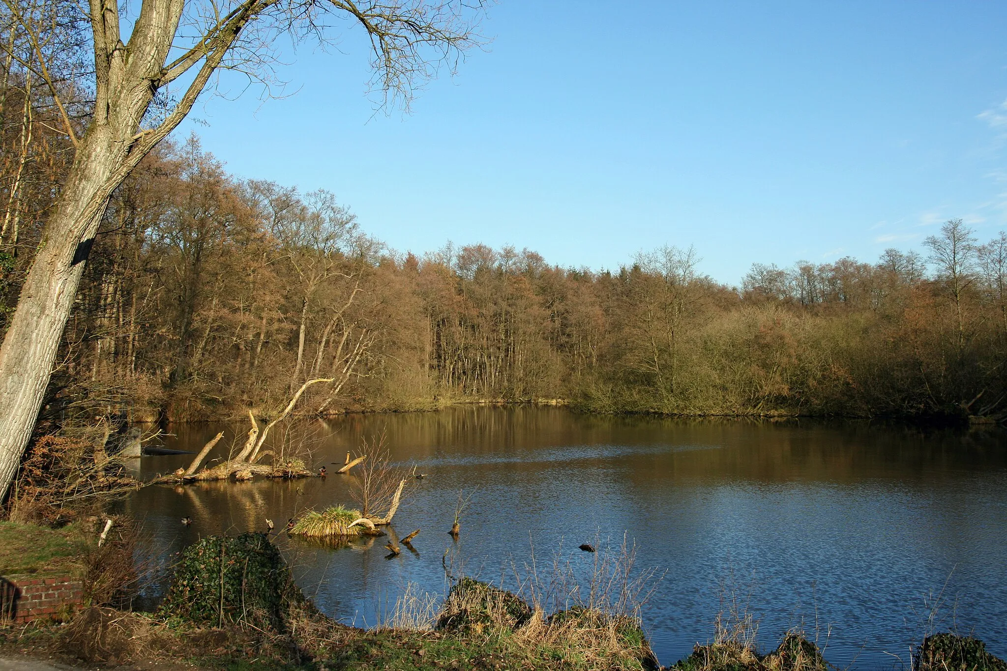
Immerse yourself in nature as you cycle along the scenic waterside paths near Niederkrüchten and Holtmühle
Embark on a 45 km gravel cycling adventure that takes you along the picturesque waterside paths near Niederkrüchten and Holtmühle. With a total ascent of 264 meters, this route offers a moderate challenge for gravel cyclists seeking a blend of nature and tranquility
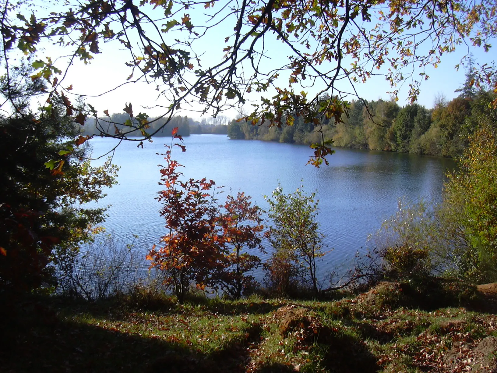
Explore the natural beauty of Adolfosee and beyond
The Adolfosee and Surroundings route is an 85-kilometer road cycling adventure that takes you through the stunning landscapes surrounding Adolfosee. With an ascent of 316 meters, this route provides a challenging and visually rewarding experience for cyclists. Highlights along the way include the scenic Wasser.Blick 25 - Adolfosee, offering breathtaking views of the picturesque lake, and the historic town of Kempen. With a difficulty rating of 4 and an epicness score of 4, this route offers a memorable cycling experience for riders of all levels.

Experience the beauty of the Wildenrath region
Embark on a 107-kilometer road cycling adventure through the scenic Wildenrath region. With an elevation gain of 328 meters, this route provides a challenging but rewarding experience for cyclists. Highlights along the way include Haus Wildenrath, a historical site with stunning views of the surrounding countryside, and the picturesque town of Wegberg. With a difficulty rating of 4 and an epicness score of 4, this route offers both physical and visual excitement for cyclists.

Discover the enchanting Wildenrath and Lüttelforst on this scenic road cycling route near Wassenberg
Explore the beautiful forested areas of Wildenrath and Lüttelforst on this 52 km road cycling route. With a total ascent of 176 meters, this route offers a moderate challenge for cyclists of all skill levels.
Cycling routes nearby:
Nearby regions: