Discovering Rural Landscapes
A gravel cycling route starting from Stade
An adventurous gravel cycling route through the rural landscapes surrounding Stade
Map
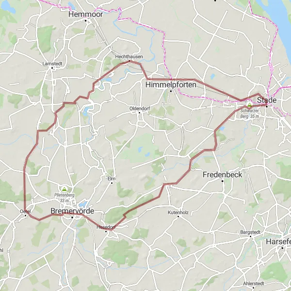
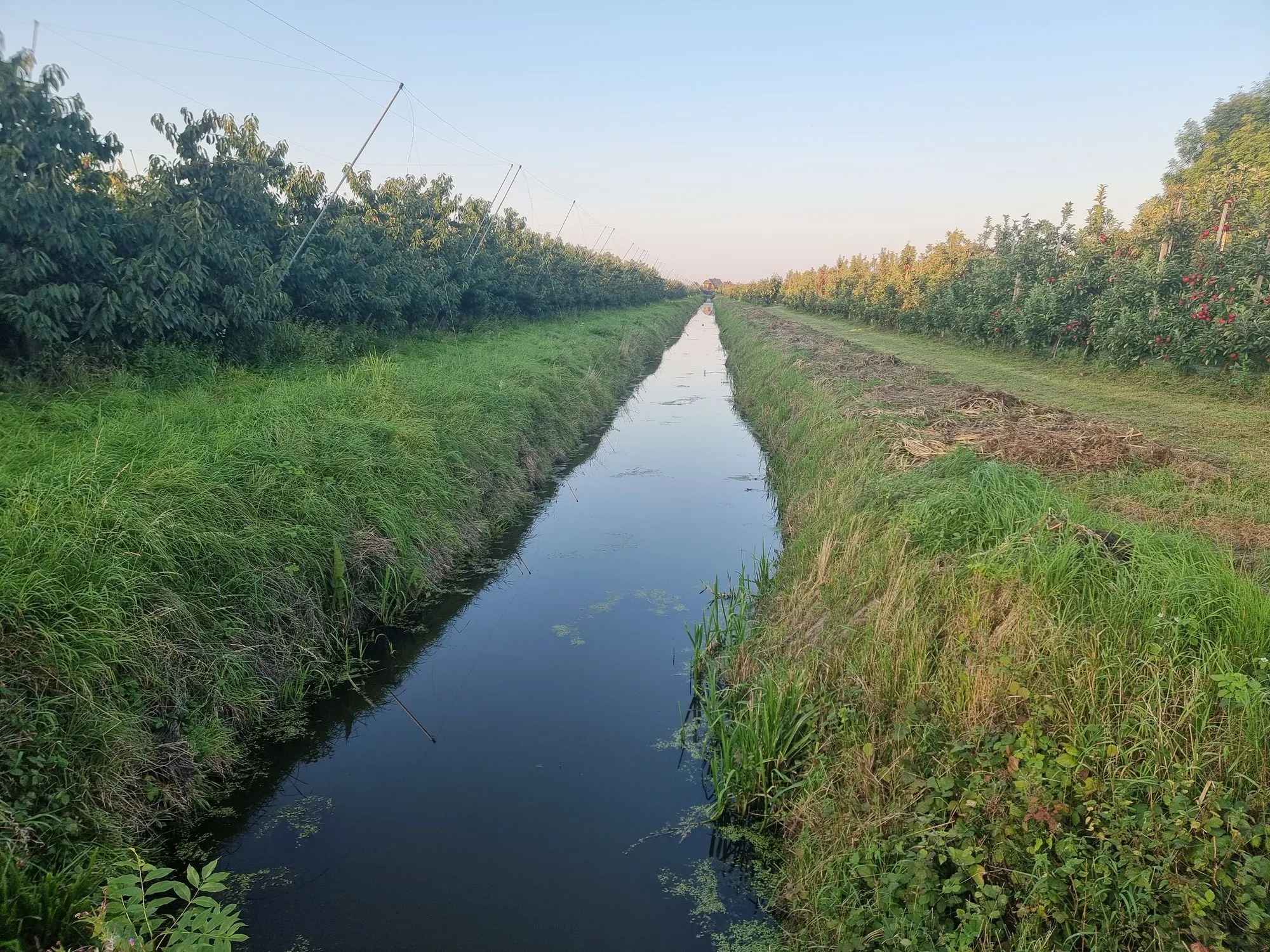
Discovering Rural Landscapes is an 83-kilometer gravel cycling route that takes cyclists on an adventurous journey through the rural landscapes surrounding Stade. With an ascent of 281 meters, this route is best suited for well-trained amateurs who enjoy off-road cycling. It is the perfect choice for those seeking to escape the city and immerse themselves in nature.
gravel
83 km
281 m
Tough
Route profile
Highlights on the route
0 km
0 km
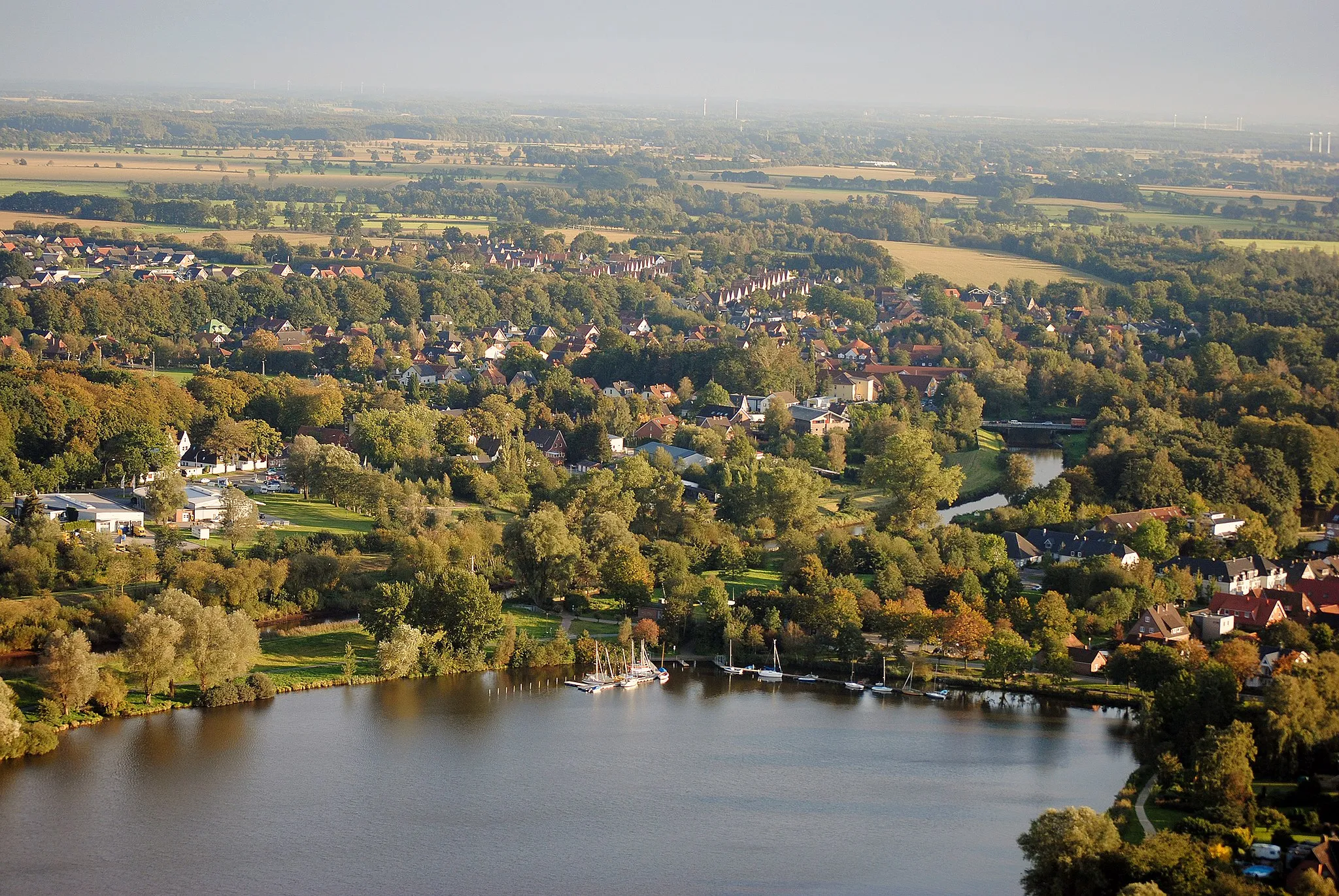
Start: Stade City centerStade: Explore the scenic cycling routes and enjoy the picturesque landscapes of Stade.
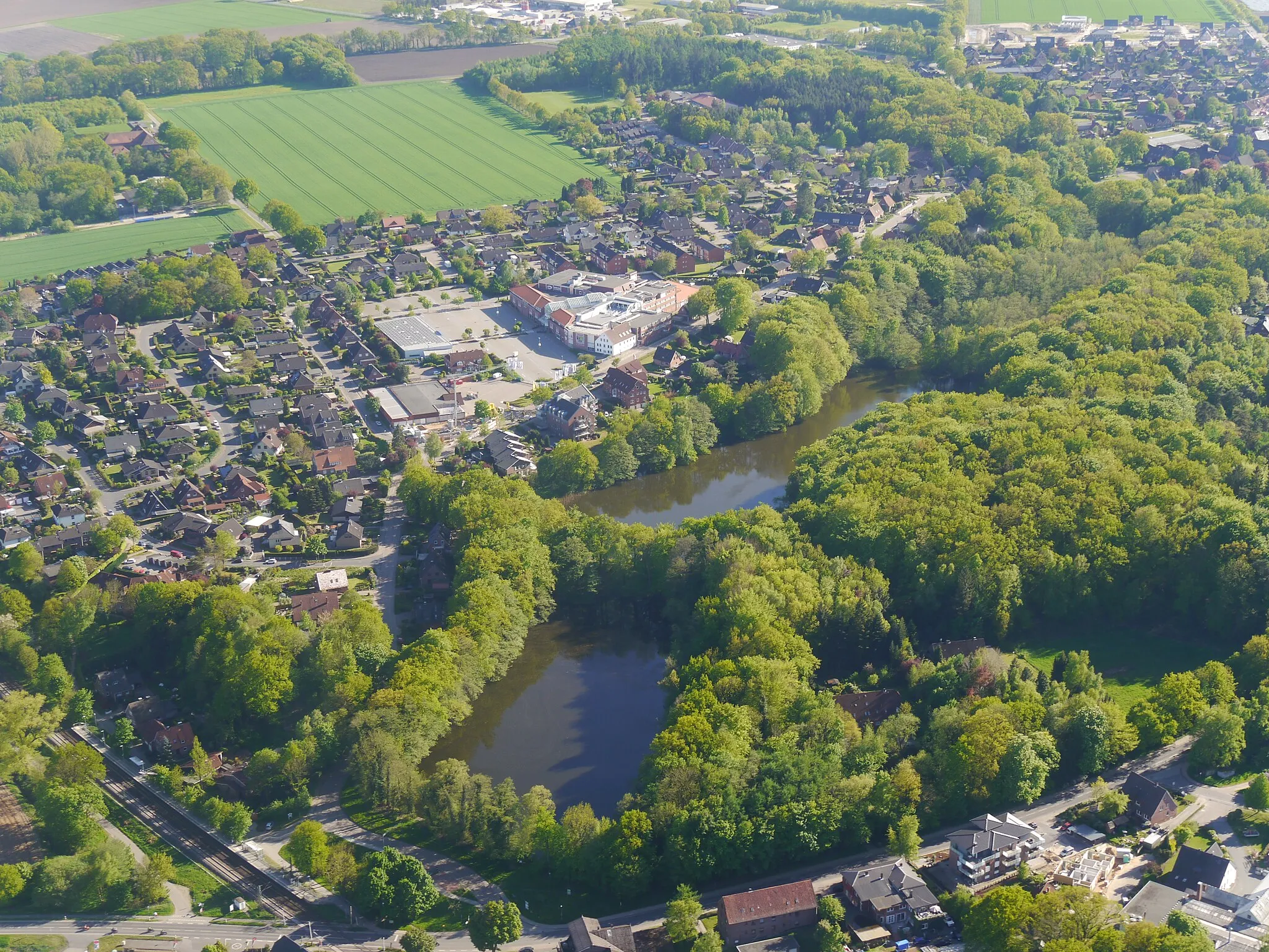
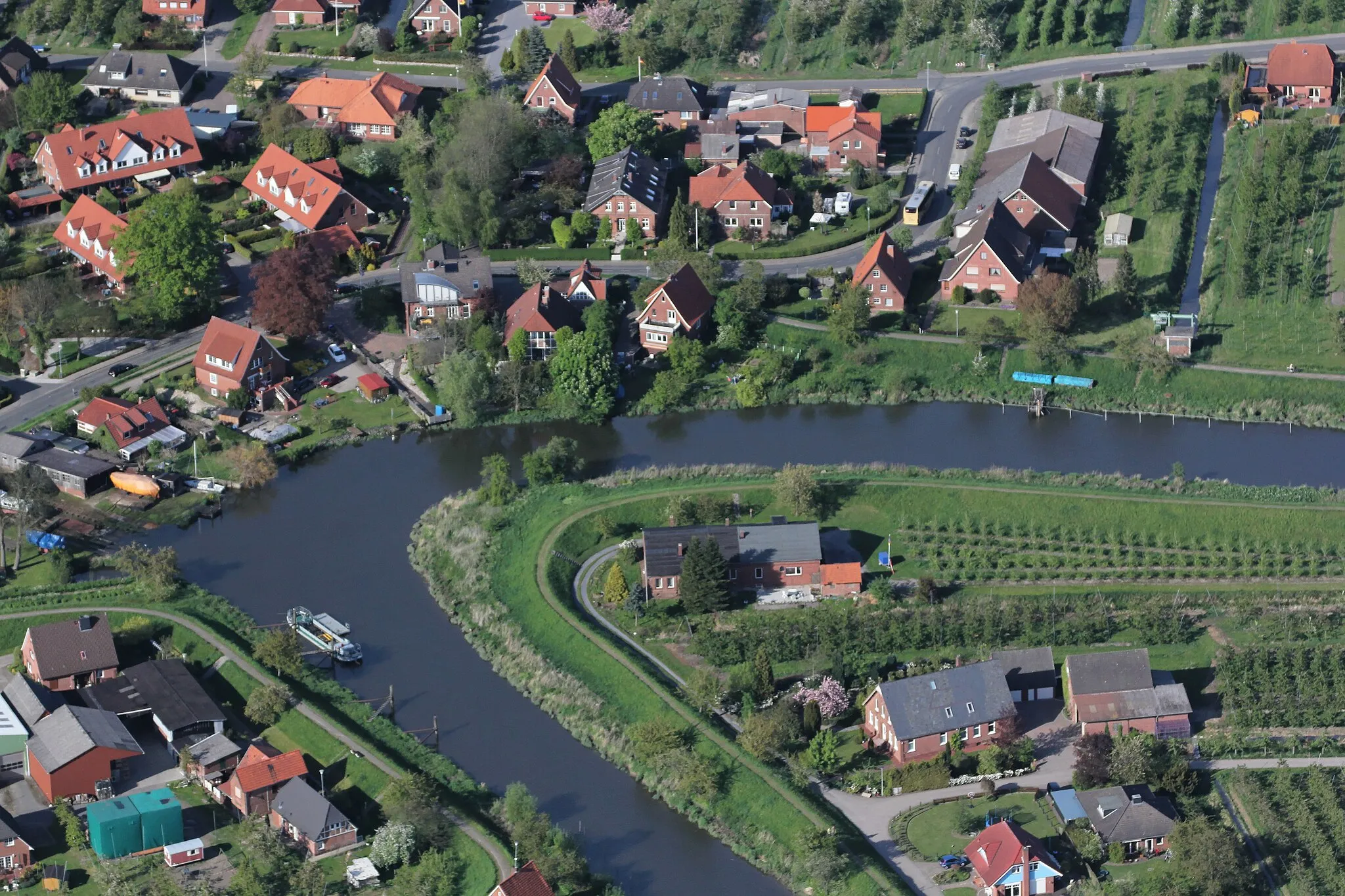
Stade is a locality in Germany, situated in the Lüneburg region. From a cyclist's perspective, Stade offers scenic routes with beautiful landscapes and peaceful roads suitable for road and gravel cycling. The region has a network of well-maintained cycling paths for recreational cycling. Stade is also known for its proximity to the Altes Land, famous for its fruit orchards and picturesque villages. Nearby climbs include the Helpter Berg, a popular local climb offering panoramic views of the surrounding area.5 km
5 km
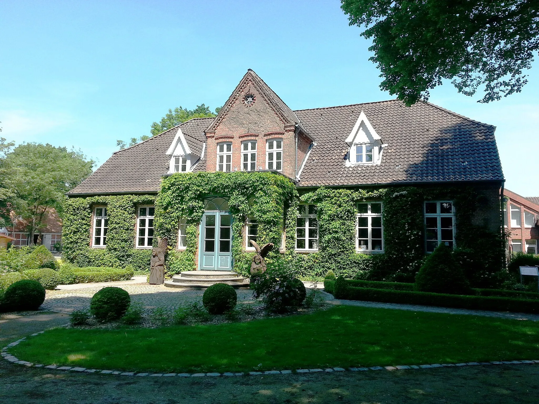
WiepenkathenSub-urbWiepenkathen, located at 5 kilometers on the route, is a small village with charming traditional thatched-roof houses and beautiful countryside.
12 km
12 km
Bultberg31 mPeakBultberg, located at 12 kilometers on the route, offers stunning panoramic views over the marshlands and the nearby Elbe River.
32 km
32 km
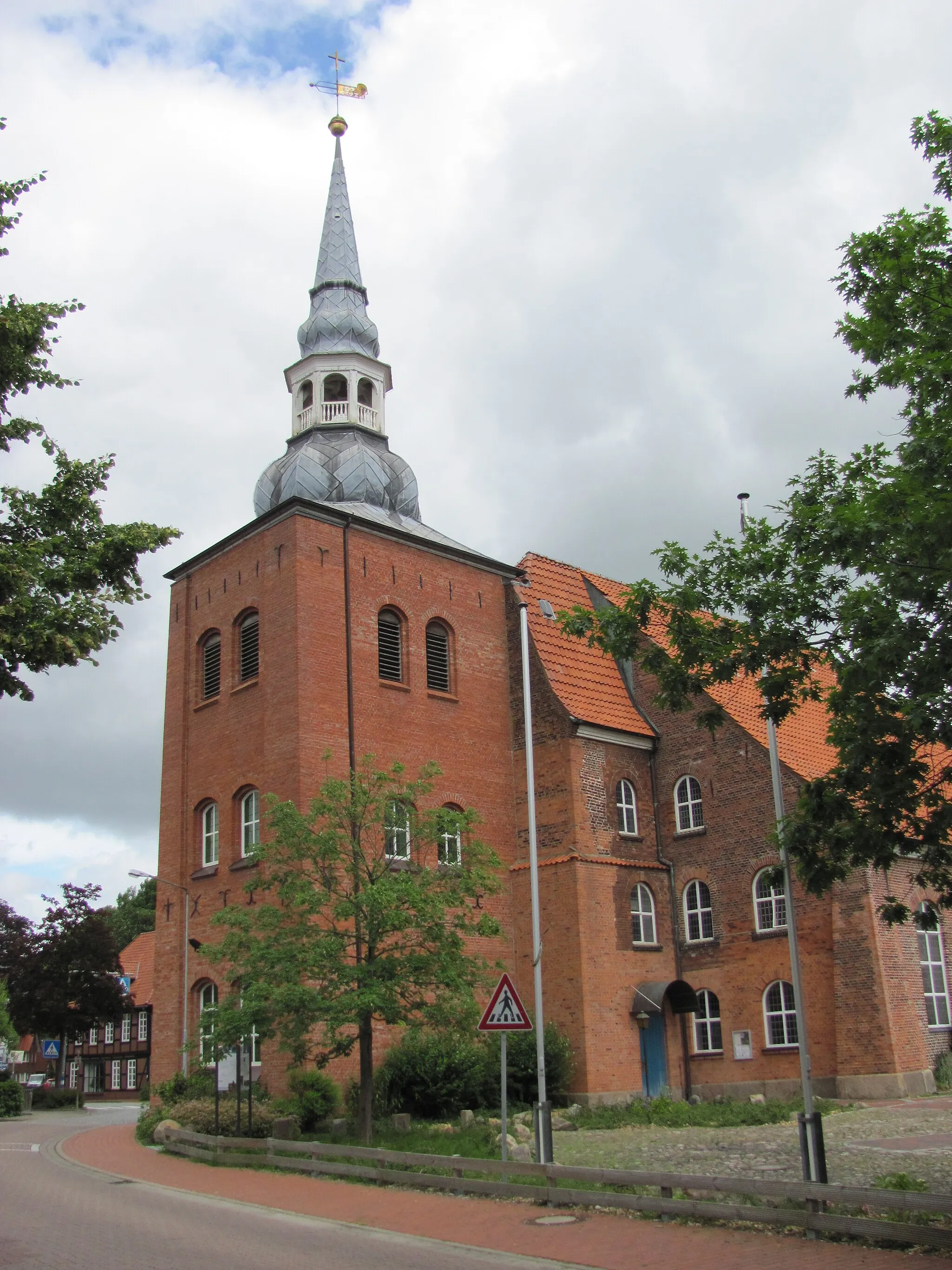
BremervördeTownBremervörde, located at 32 kilometers on the route, is a lovely town with a historic center and scenic surroundings perfect for nature lovers.
46 km
46 km
BredemeheVillageBredemehe, located at 46 kilometers on the route, is a picturesque village with traditional thatched-roof houses and a tranquil atmosphere.
64 km
64 km
HechthausenVillageHechthausen, located at 64 kilometers on the route, is a charming village with well-preserved half-timbered houses and beautiful rural vistas.
82 km
82 km
Hohe Wedel26 mPeakHohe Wedel, located at 82 kilometers on the route, offers panoramic views of the Elbe River and the surrounding countryside.
84 km
84 km
StadeTownStade, the starting and ending point of the route, is a historic Hanseatic city with a rich heritage and beautiful old town.
83 km
83 km
Finish: Stade City centerStade: Explore the scenic cycling routes and enjoy the picturesque landscapes of Stade.
Cycling routes nearby: