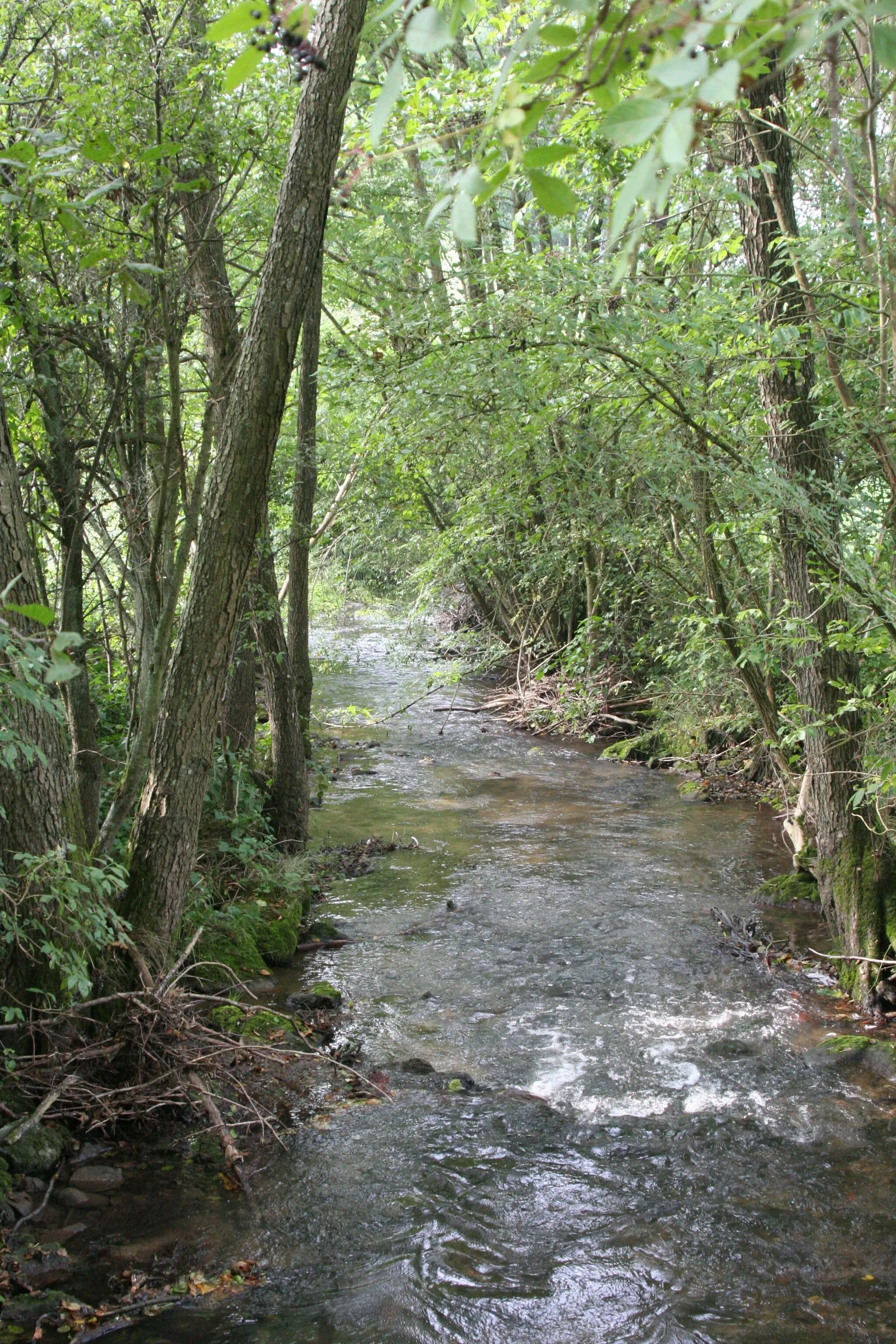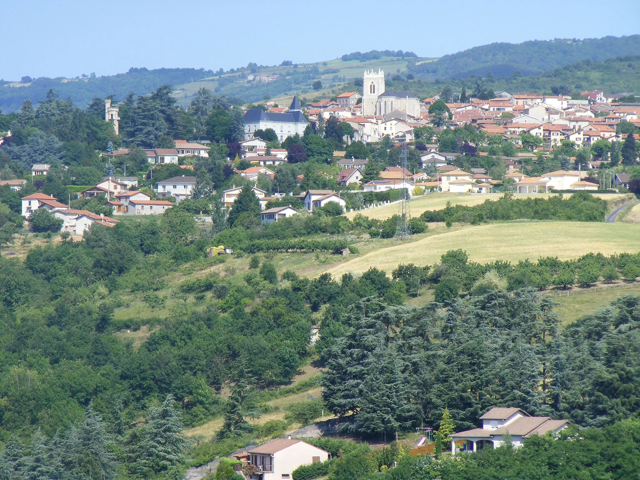
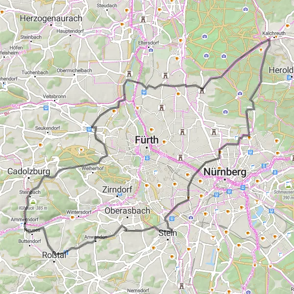
Picturesque landscapes and diverse cycling routes in Mittelfranken.
Cycling routes from Ammerndorf
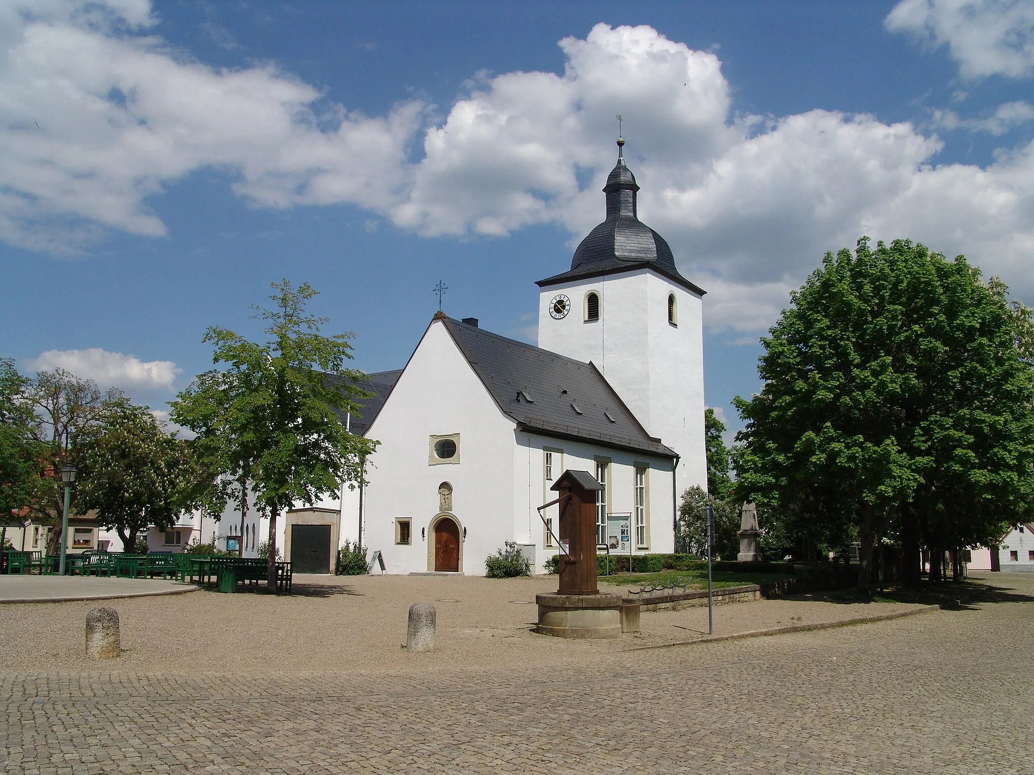
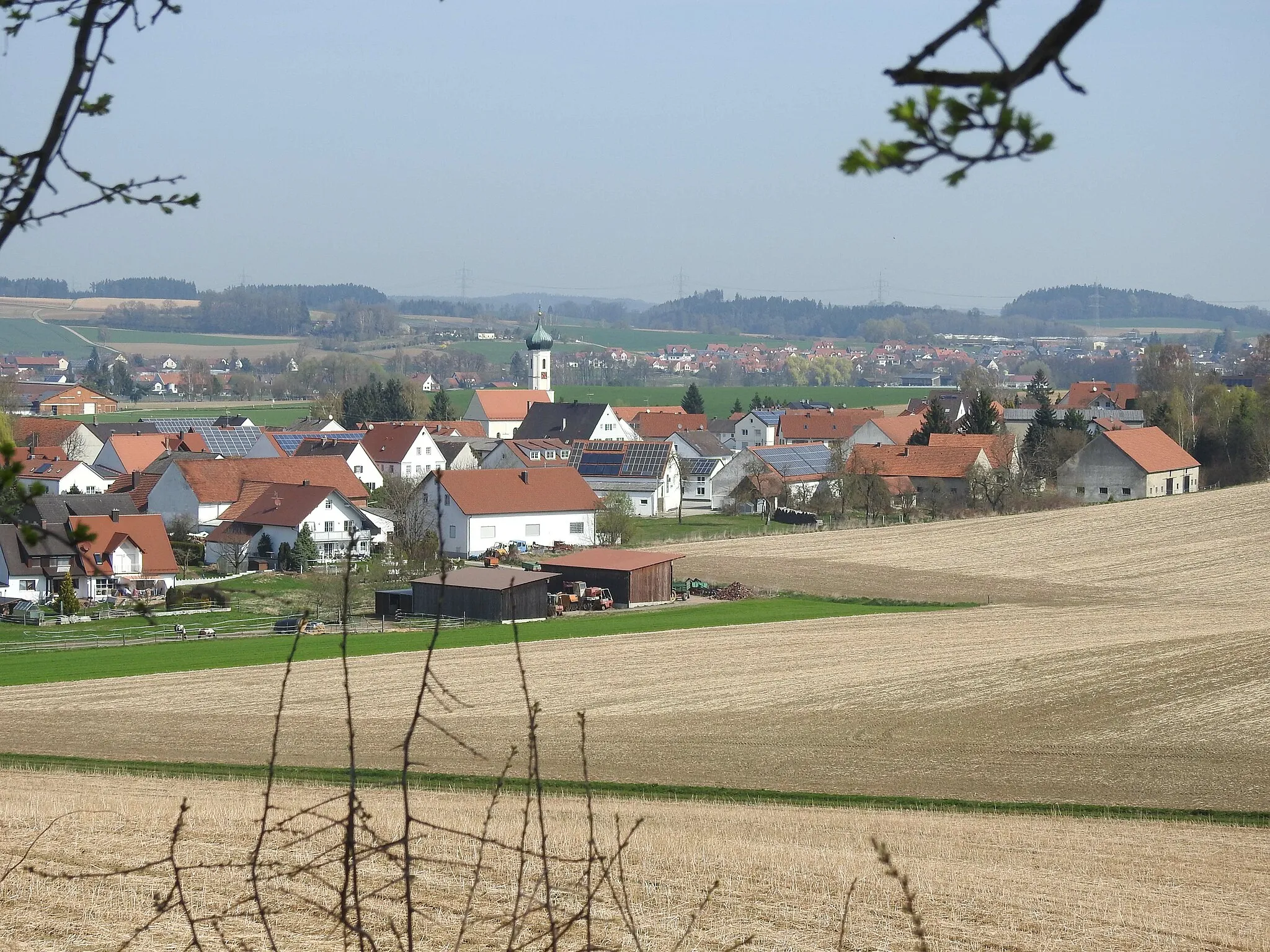
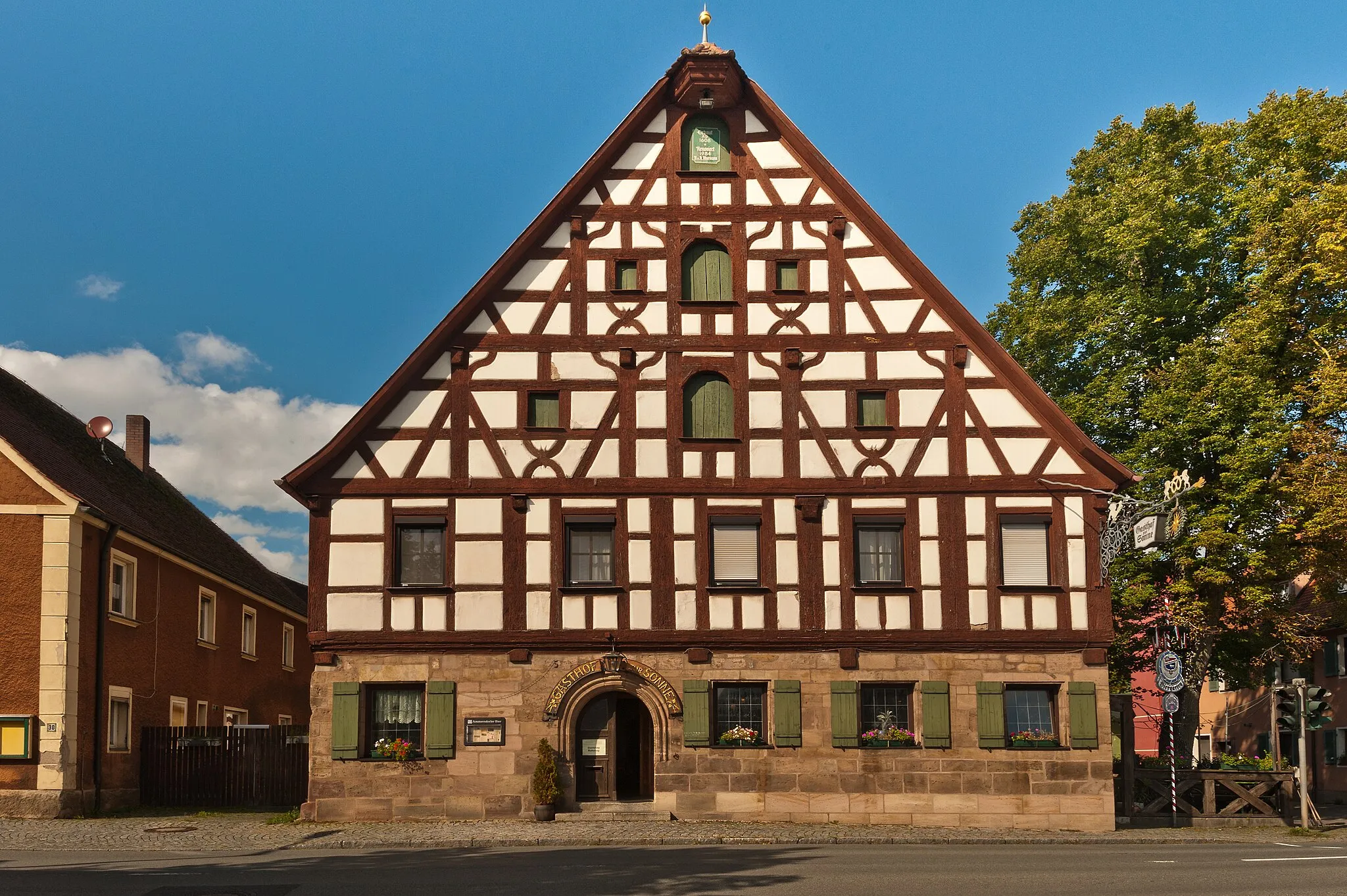
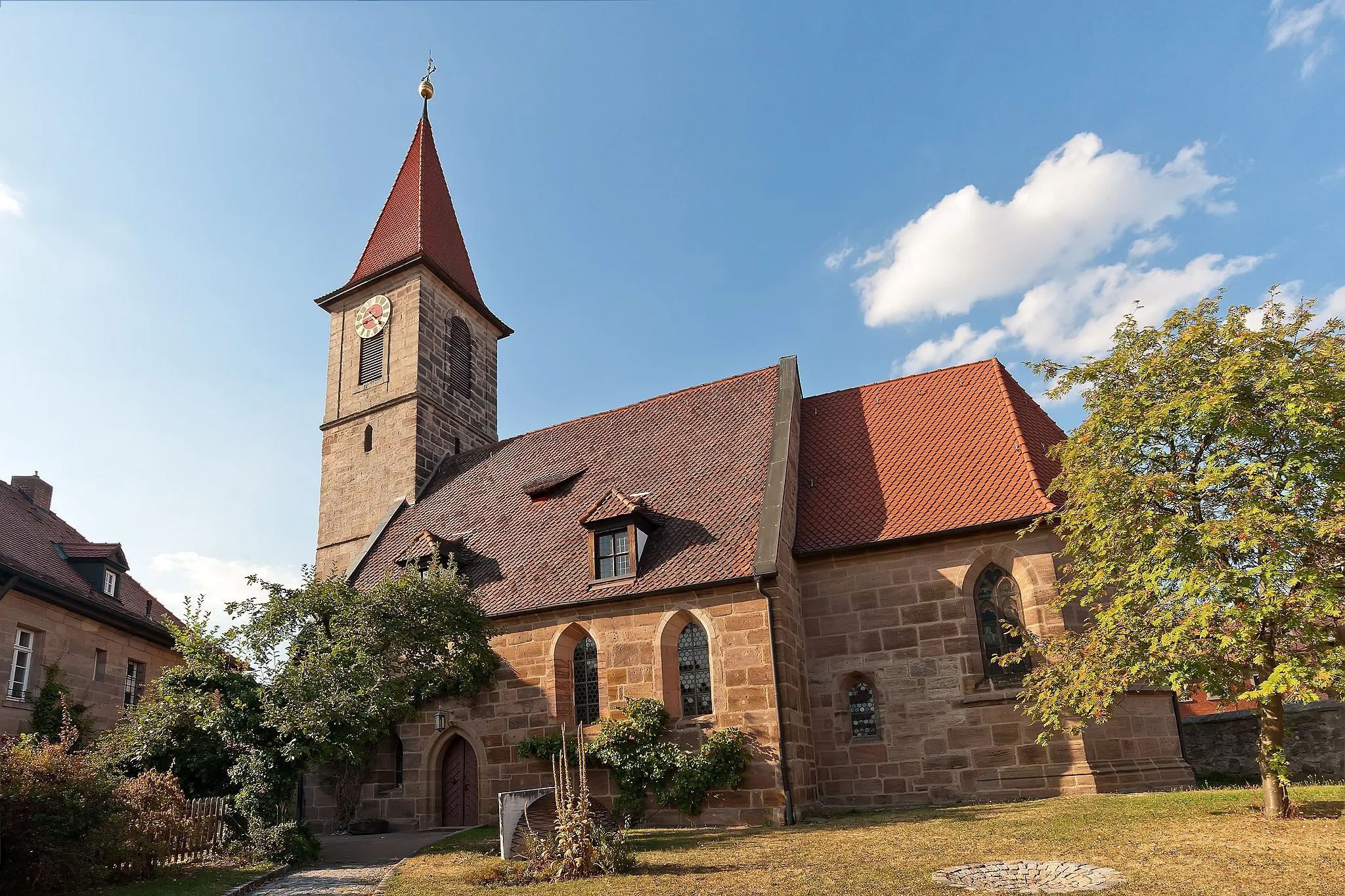
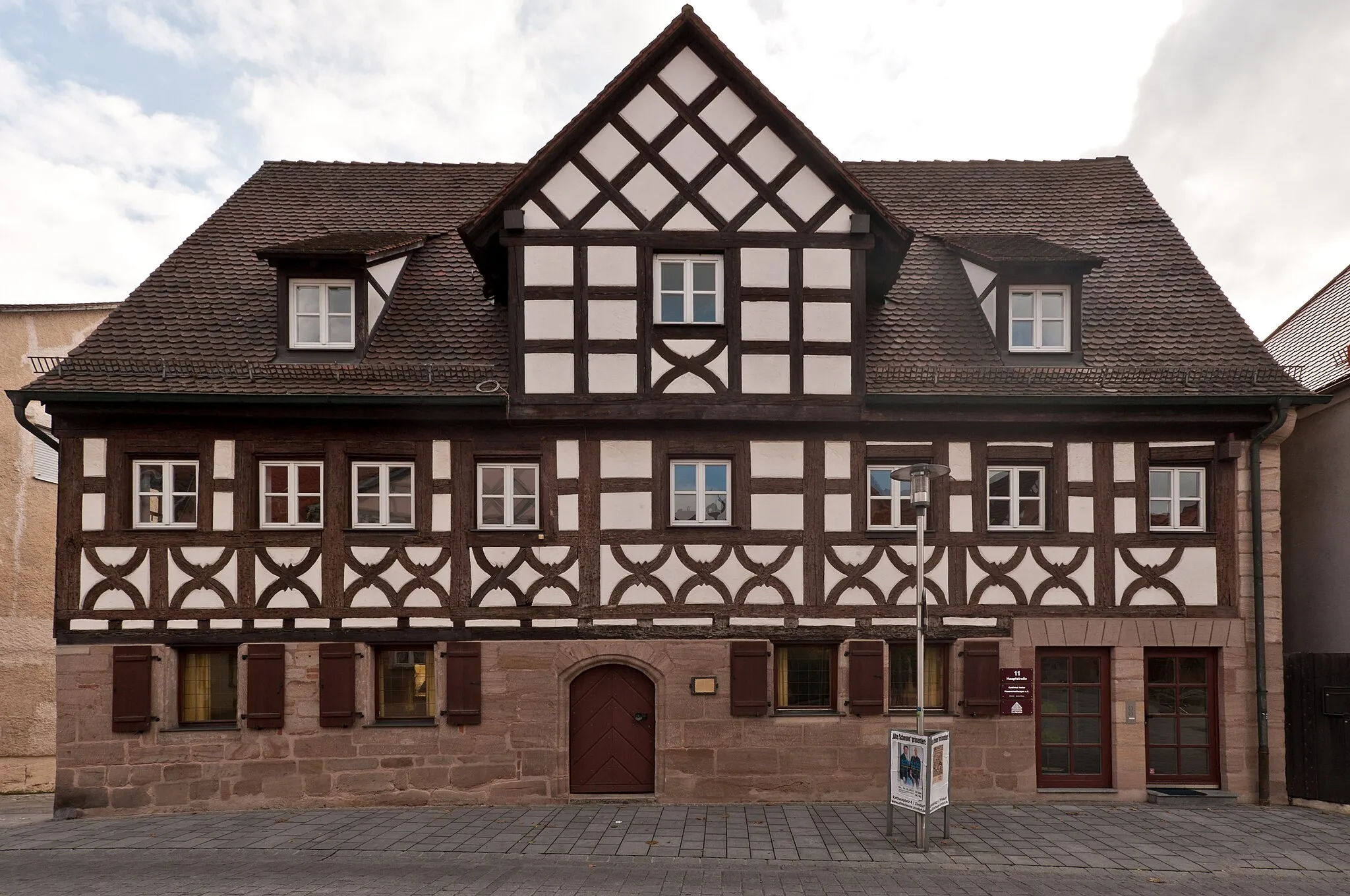
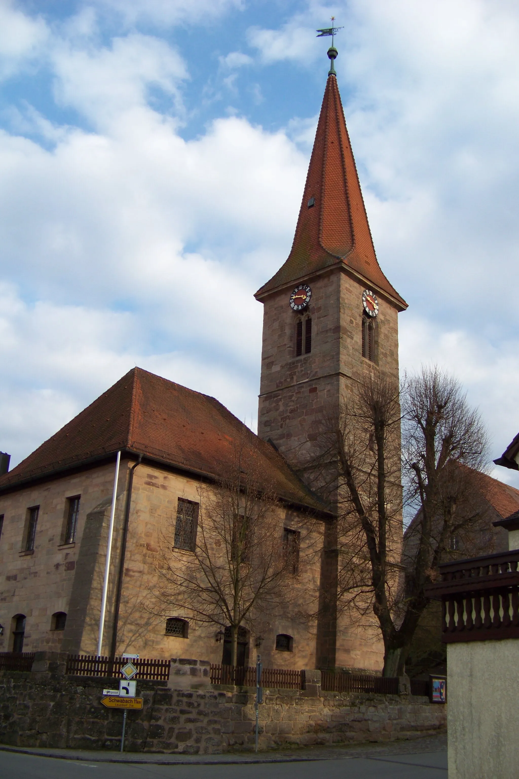
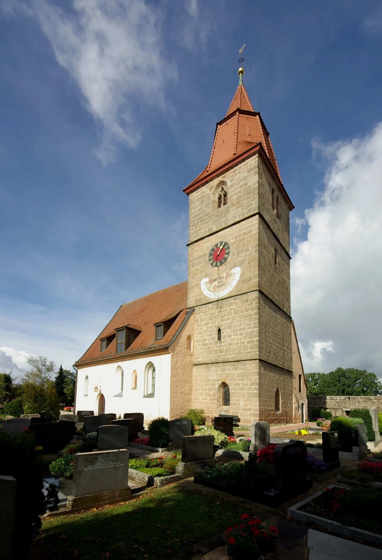
Ammerndorf is a delightful locality in Mittelfranken, Germany. Cyclists can enjoy exploring the rolling hills and picturesque landscapes of the surrounding area. The region offers well-maintained cycling paths, making it suitable for both road and gravel cycling. Nearby cycling routes include the famous Franconian Switzerland Tour. Overall, Ammerndorf is a great destination for cyclists and ranks 4 in terms of cyclist-friendliness.
Adventurous Gravel Farewell

Say goodbye to Ammerndorf with this adventurous 64-kilometer gravel route showcasing nature's wonders
Bid farewell to the scenic landscapes near Ammerndorf with this thrilling 64-kilometer gravel route. With an ascent of 558 meters, it offers a satisfying challenge for experienced gravel enthusiasts. Immerse yourself in nature's wonders, picturesque villages, and stunning viewpoints on this unforgettable cycling experience.
Ride through scenic landscapes and quaint villages
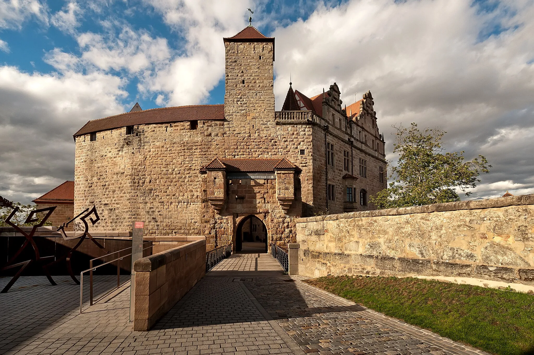
This gravel route takes you on a journey through beautiful landscapes, picturesque villages, and charming countryside. With a total ascent of 513 meters and a distance of 67 kilometers, it offers a challenging but rewarding ride. Starting from Vogtsreichenbach, the route takes you through highlights such as Hensenberg, Schleuse 66, Glasersberg, and Schwabach. The Wimpashof and Steinbuck are other noteworthy spots along the way. This route is best suited for experienced gravel cyclists who enjoy exploring off-road paths and discovering hidden gems.
Experience the scenic beauty and challenging terrain of Ammerndorf and its surrounding region.
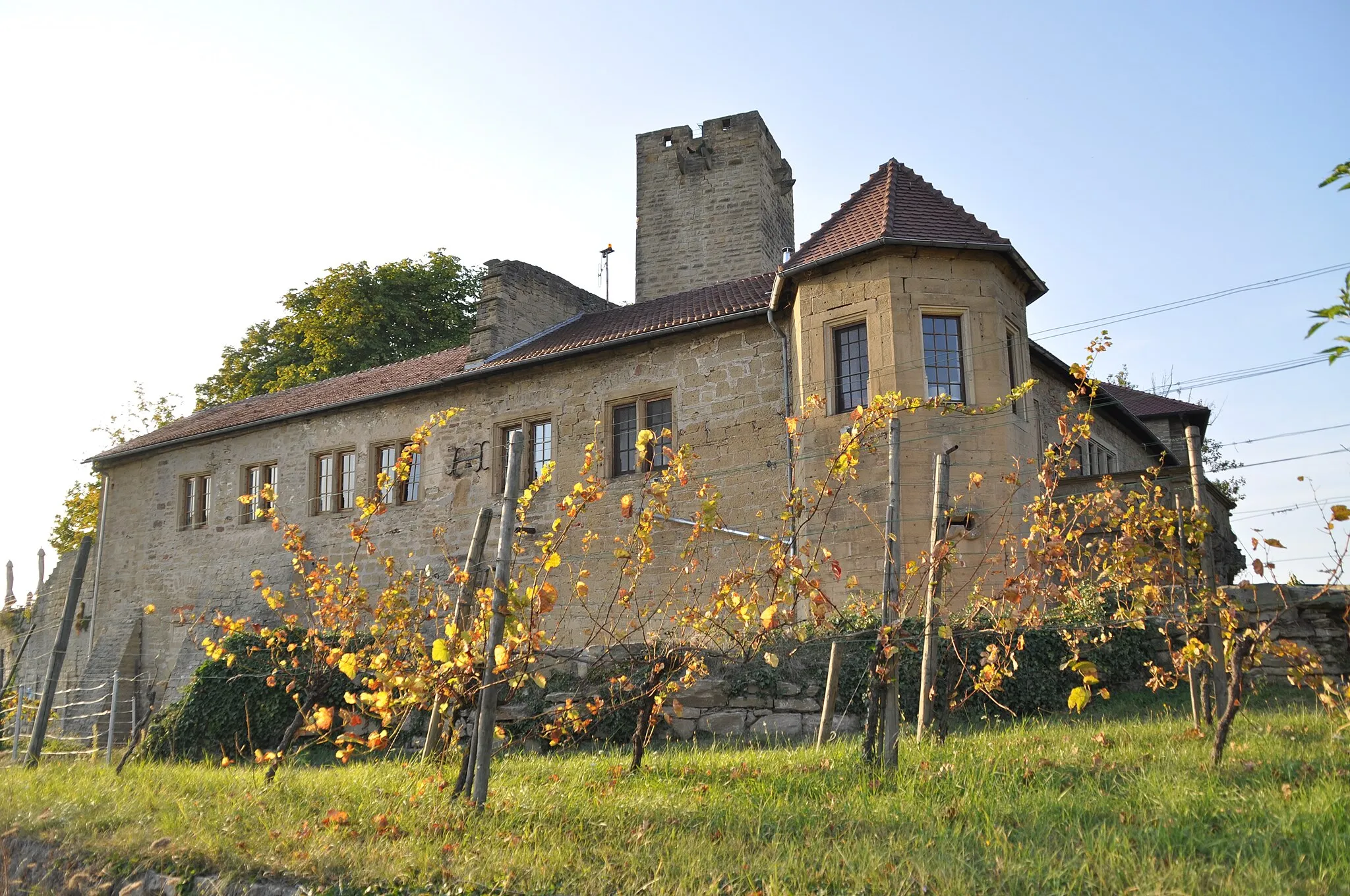
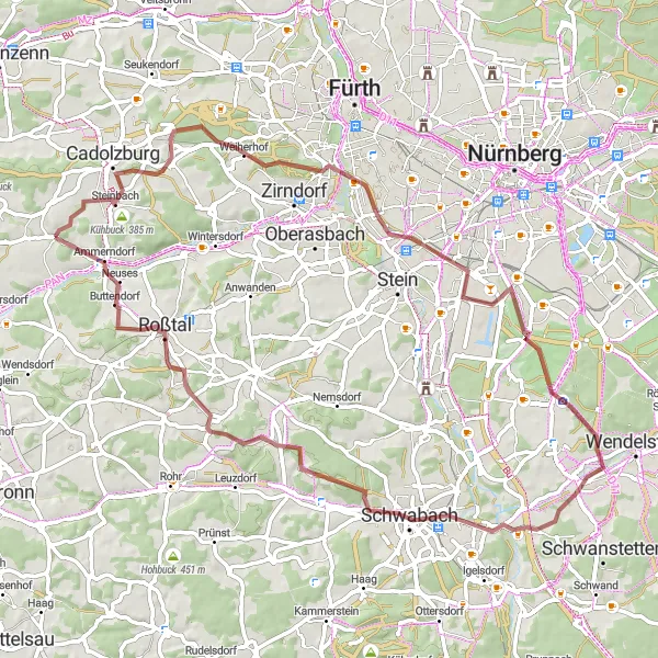
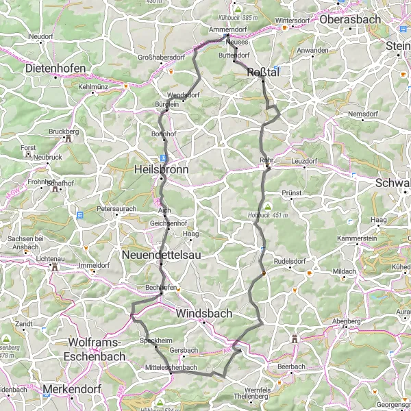
This road cycling route offers a scenic journey through picturesque landscapes, charming villages, and scenic roads. With a total ascent of 722 meters and a distance of 66 kilometers, it is suitable for intermediate-level road cyclists. Starting from Ammerndorf, highlights along the way include Rehbühl, Rohr, Leimenbuck, Kettersbach, Mitteleschenbach, Bummerberg, Neuendettelsau, and Weinberg. This route allows you to explore the stunning countryside of Mittelfranken and enjoy the serenity of the rural areas. Cyclists will encounter rolling hills, winding roads, and breathtaking views throughout the ride.
Embark on a road cycling journey through the wine region near Ammerndorf and witness breathtaking vistas
This road cycling route takes you on an exciting journey through the beautiful wine region near Ammerndorf. With a distance of 57 kilometers and an ascent of 337 meters, it offers a mix of rolling hills, charming villages, and vineyard-covered landscapes. This route is best suited for road cyclists looking to indulge in delicious wine and capture unforgettable views.
Twists and Turns in the Woods

Embark on a thrilling gravel adventure through the scenic forests near Ammerndorf
This gravel route takes you on a 48-kilometer adventure through the picturesque woods near Ammerndorf. With 381 meters of ascent, expect some challenging climbs, but the reward is delightful trails and breathtaking nature views. The route is ideally suited for gravel bikes, offering serpentine bends that will test your handling skills.
Hidden Gems and Rolling Hills
Explore the lesser-known countryside near Ammerndorf on this adventurous 60-kilometer gravel route
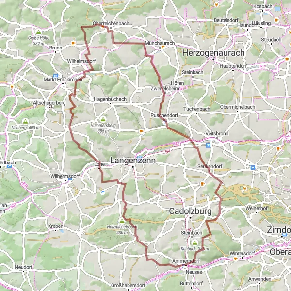
This gravel route unveils the hidden gems of the Ammerndorf countryside. With a distance of 60 kilometers and a challenging ascent of 681 meters, it is best suited for experienced gravel riders seeking a scenic adventure. Prepare to immerse yourself in rolling hills, lush green landscapes, and charming villages.
Embark on a thrilling road cycling adventure through scenic landscapes and hidden gems in Mittelfranken.
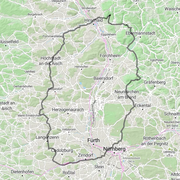
This road cycling route offers an exciting adventure through beautiful landscapes, charming villages, and challenging climbs. With a total ascent of 1615 meters and a distance of 152 kilometers, it is perfect for experienced road cyclists looking to push their limits. Starting from Ammerndorf, highlights along the way include Vogtsreichenbach, Meckelasberg, Oberreichenbach, Kleinneuses, Kirchberg, Köttmannsdorf, Eggenberg, Lindesberg, Niedermirsberg, Pommer, Hetzleser Berg, Kalchreuth, Mistelberg, Kleinreuth bei Schweinau, and Petersbuck.
Discover the countryside and natural beauty of Ammerndorf on this thrilling gravel adventure.
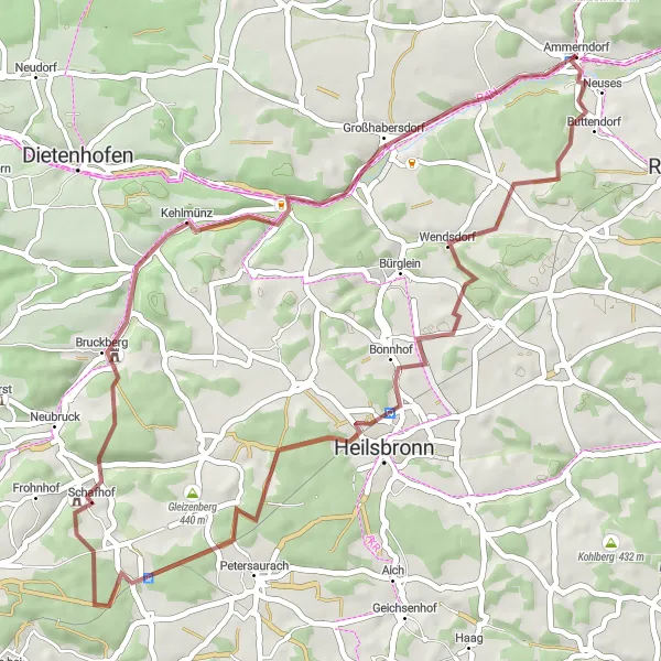
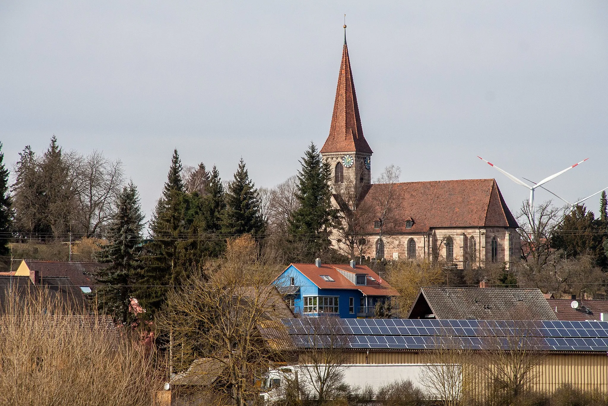
This gravel route takes you on an exciting journey through the beautiful countryside and peaceful landscapes surrounding Ammerndorf. With a total ascent of 417 meters and a distance of 46 kilometers, it offers a moderate challenge suitable for gravel enthusiasts of all levels. Starting from Ammerndorf, highlights along the way include Steinbuck, Wendsdorf, Sandbühl, Langenheim, Klingenberg, Kehlmünz, and Galgenbuck. These spots offer scenic views, historical landmarks, and a glimpse into the rural life of the region. This route is perfect for those looking to explore off the beaten path and experience the tranquility of nature.
Discover the beauty of the surrounding region of Ammerndorf on this scenic road cycling route.
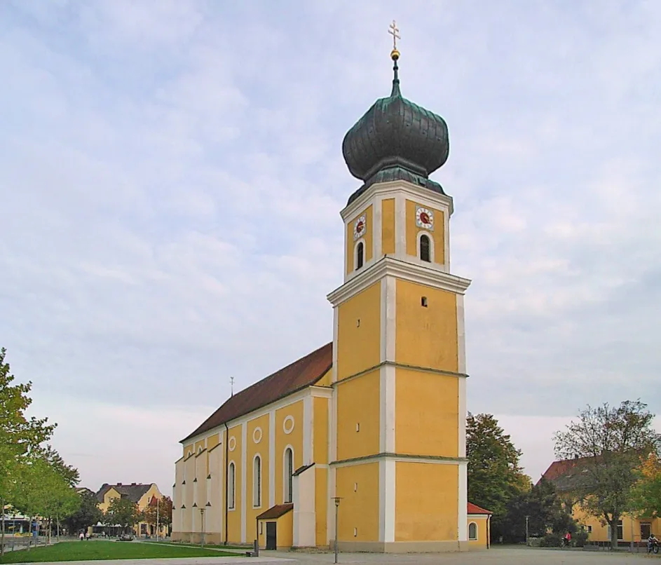
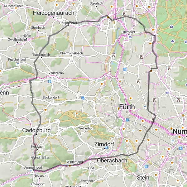
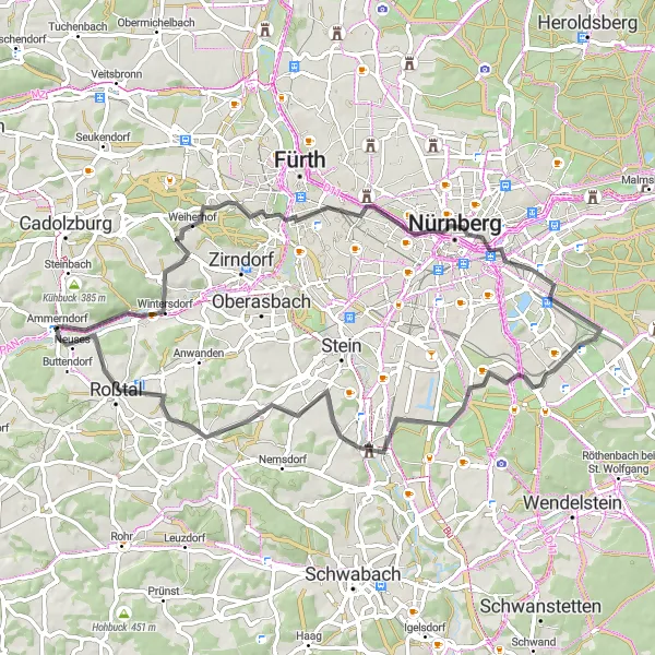
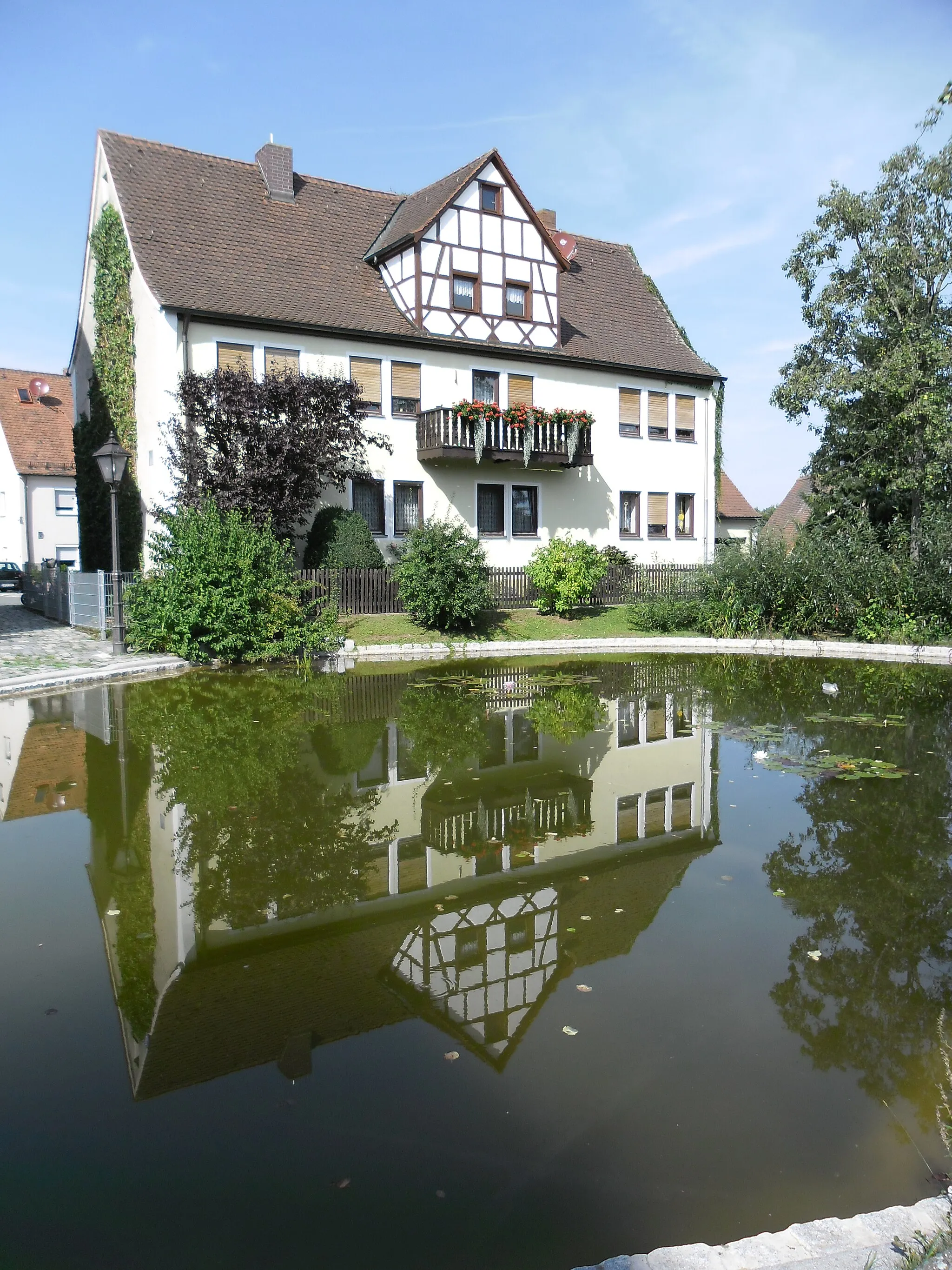
Experience the stunning countryside and charming villages of the region surrounding Ammerndorf on this road cycling route. With a total ascent of 419 meters and a distance of 64 kilometers, it offers a moderate challenge suitable for intermediate-level cyclists. Starting from Ammerndorf, highlights along the way include Wintersdorf, Muggenhof, Freiung, Schleuse 71, Föhrenbuck, Großweismannsdorf, Galgenbuck, Steinbuck, and Ammerndorf itself. Cycle through picturesque landscapes, rolling hills, and peaceful countryside roads. Discover hidden gems, historic landmarks, and enjoy scenic viewpoints throughout your ride.
Embark on a road cycling adventure through the picturesque countryside near Ammerndorf
With a distance of 71 kilometers and an ascent of 476 meters, this road cycling route allows you to immerse yourself in the captivating scenery of the Ammerndorf countryside. As you conquer challenging climbs and enjoy smooth descents, you'll encounter charming villages, historic landmarks, and panoramic viewpoints that will leave lasting impressions.
Cycling routes nearby:

Nearby regions: