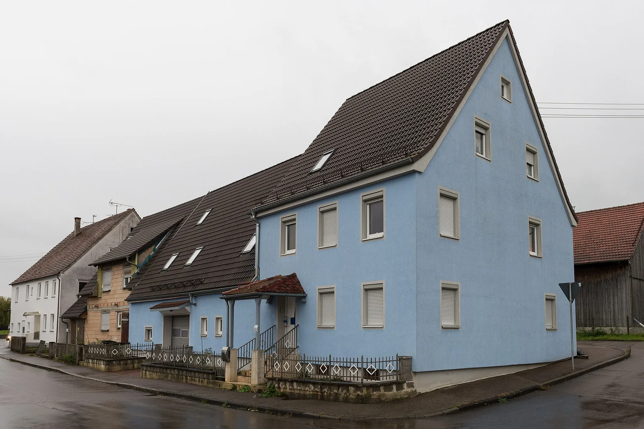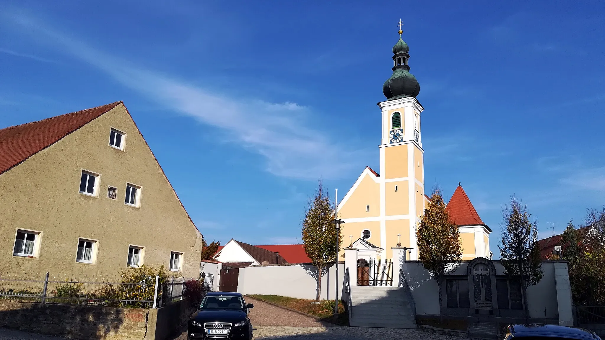
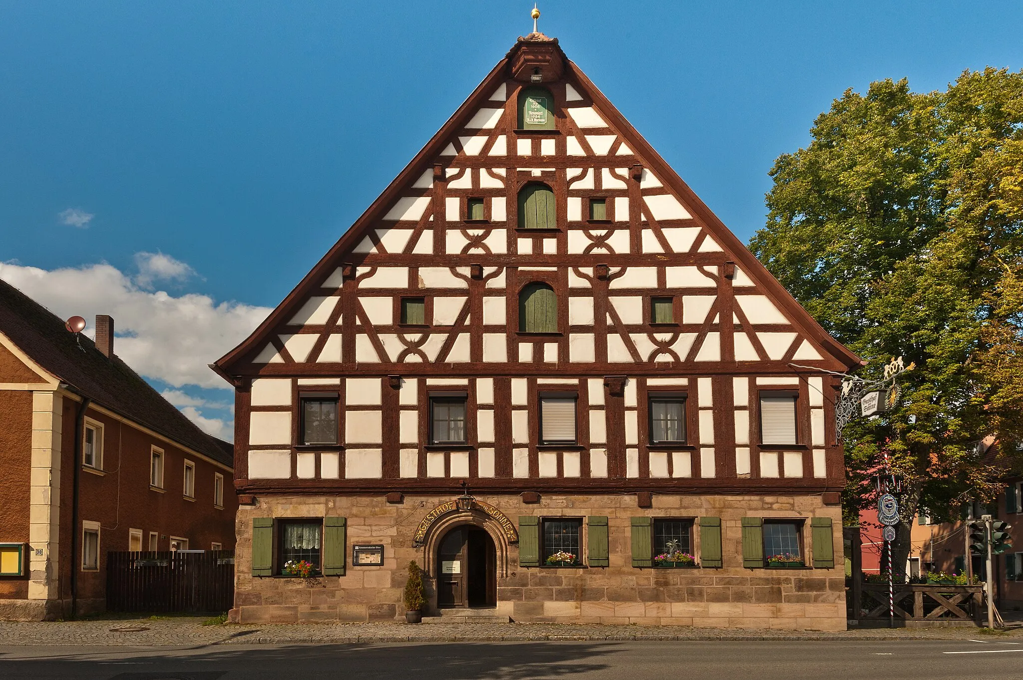
Discover the charm of Rohr while cycling through its picturesque countryside.
Cycling routes from Rohr
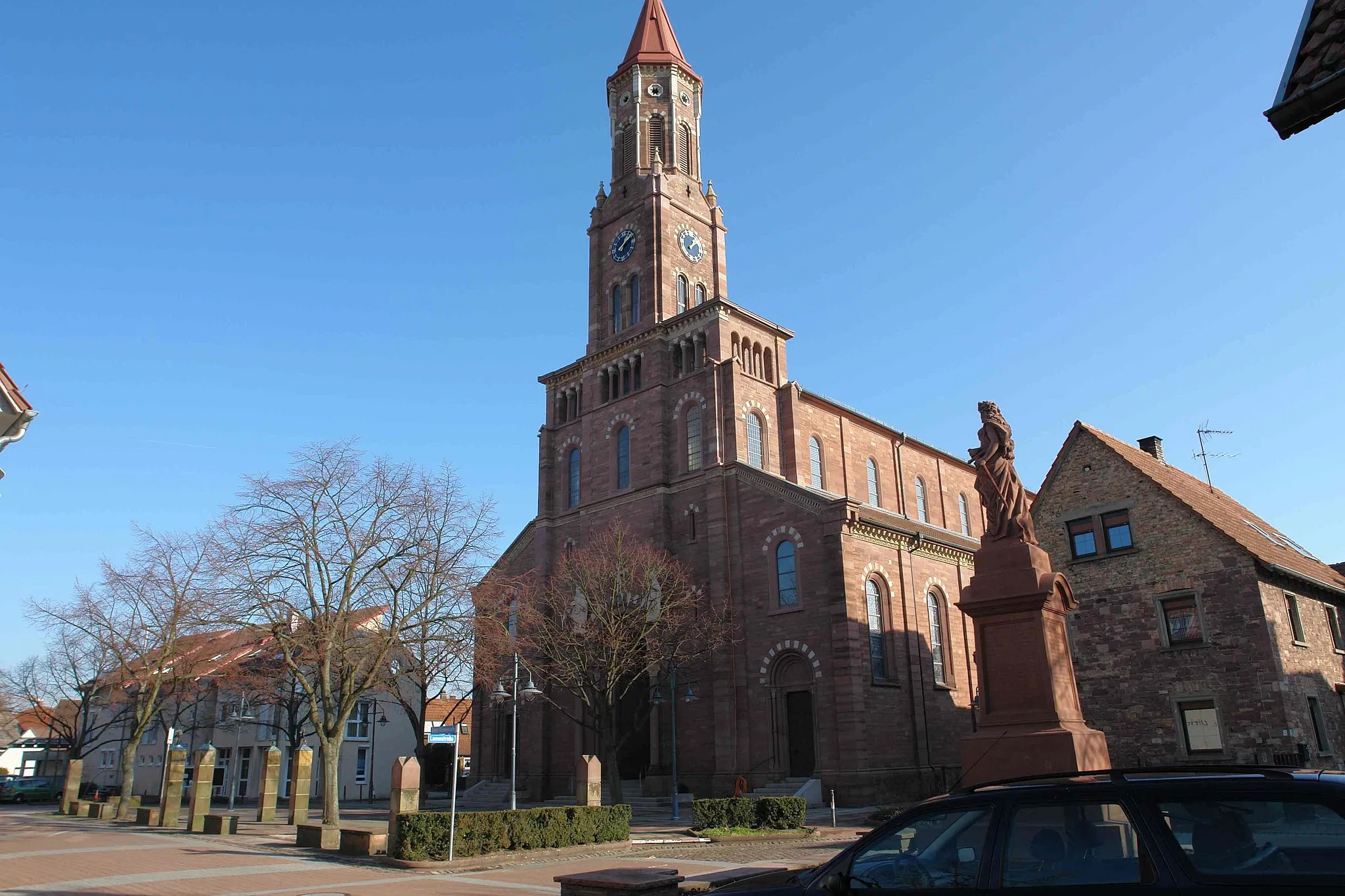
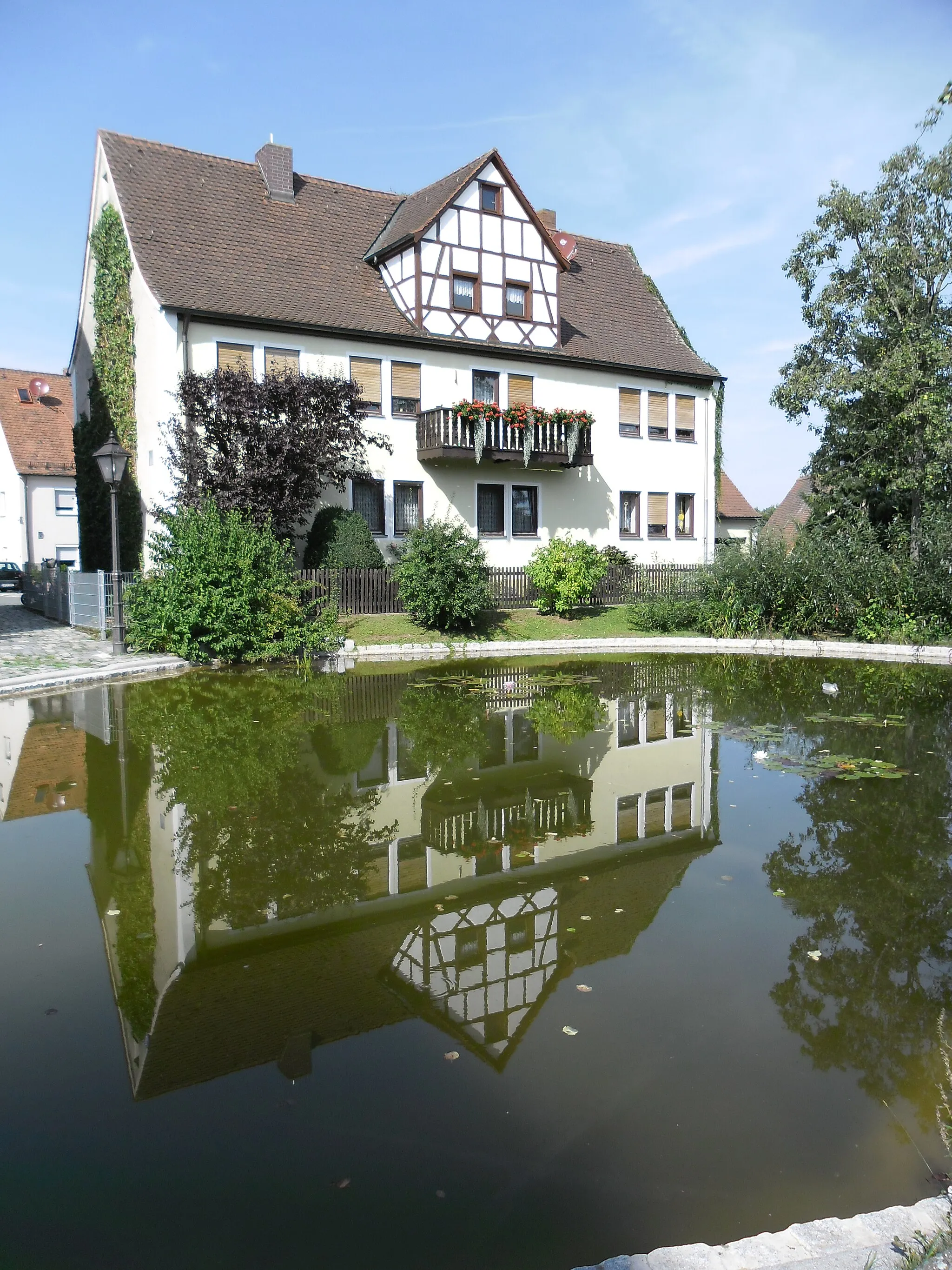
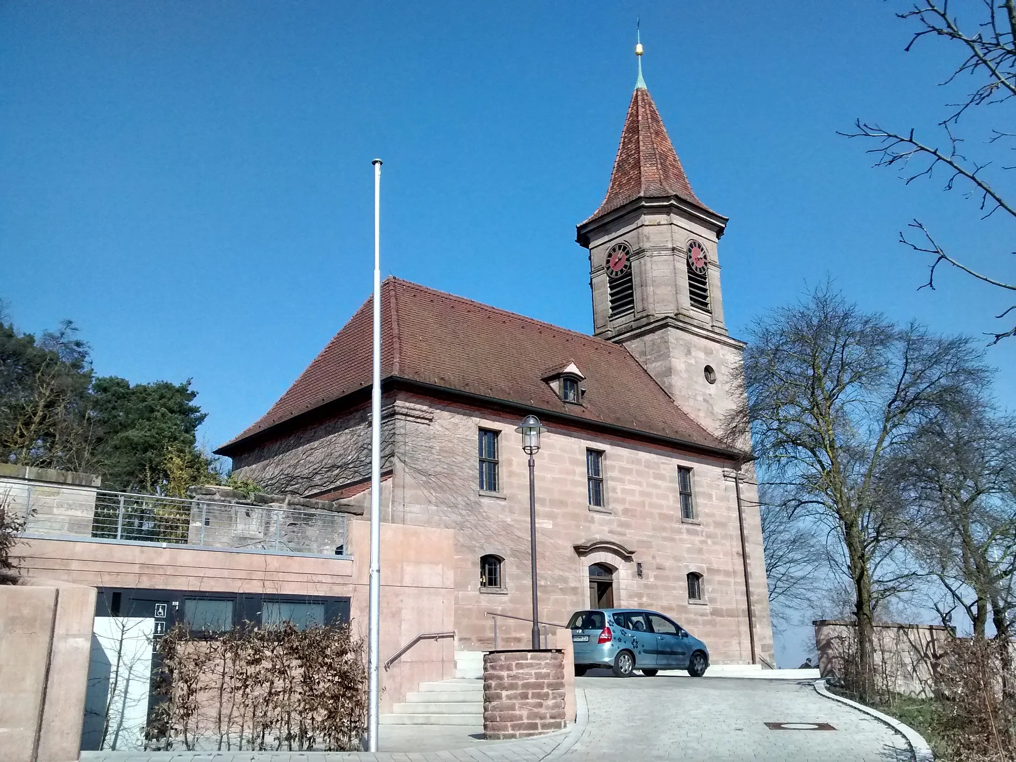
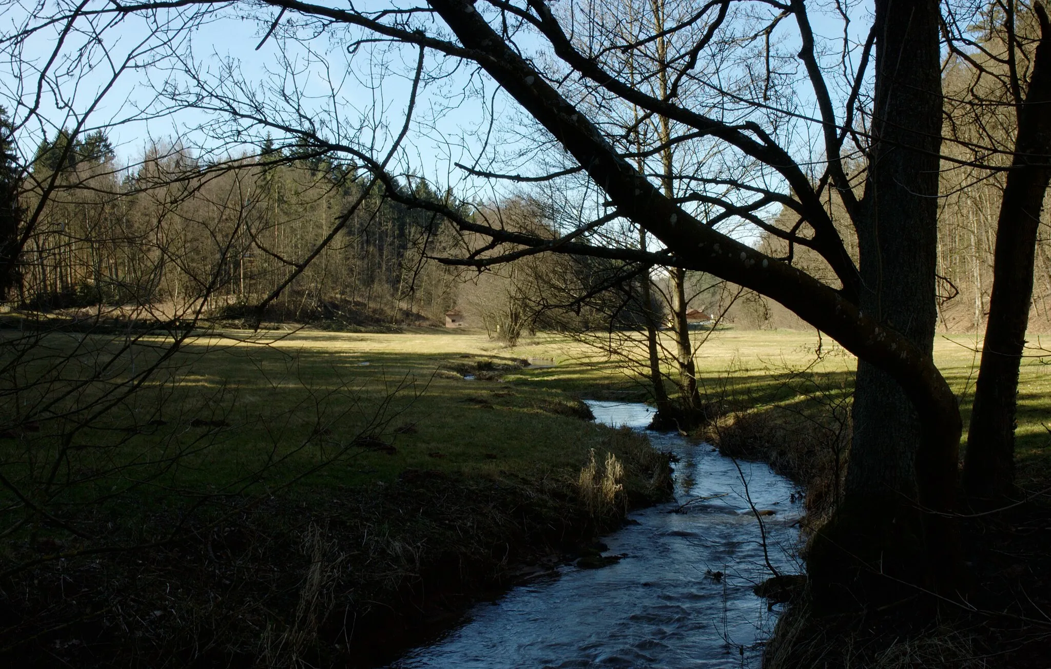
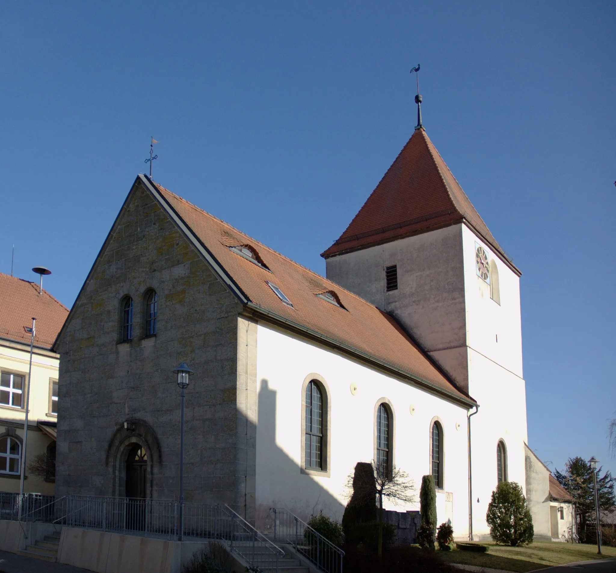
Located in Mittelfranken, Germany, Rohr is a charming locality that offers enjoyable cycling routes. The region features gently rolling hills and picturesque countryside landscapes. Cyclists can combine road and gravel routes to explore the area while taking in the beauty of their surroundings. Although there are no famous cycling-related spots or well-known climbs in Rohr, cyclists can still look forward to pleasant rides and a peaceful atmosphere.
Franconian Lake Tour
Venture through the stunning Franconian Lake District on this road cycling route.
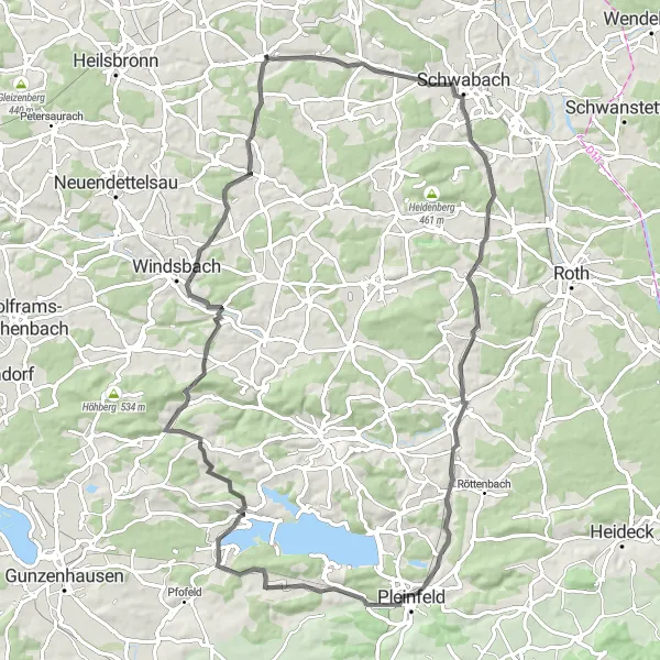
Embark on an exhilarating road cycling journey that takes you through the mesmerizing Franconian Lake District. This 82 km route starts near Rohr, Mittelfranken, and offers breathtaking scenic beauty along with challenging terrains. With a total ascent of 915 meters, this tour is perfect for well-trained amateurs seeking a considerable challenge. The epicness level of this route is rated at 3, as it encompasses picturesque lakes, quaint villages, and historical landmarks that tell the tales of bygone eras.

Get ready for a challenging road ride with breathtaking views of the Franconian countryside.
This round-trip cycling route starting near Rohr will take you through the beautiful landscapes of Mittelfranken. The route is perfect for experienced cyclists who seek a challenge and want to enjoy the stunning scenery at the same time. With a total ascent of 1,269 meters and a distance of 114 kilometers, you will not only work up a sweat but also be rewarded with amazing panoramic vistas along the way. The route passes through several small towns, each offering their unique charm and treasures to explore. Prepare yourself for a fulfilling and adventurous cycling experience in the heart of Germany.
Embark on a scenic gravel ride through quaint towns and rolling hills near Rohr.
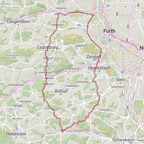
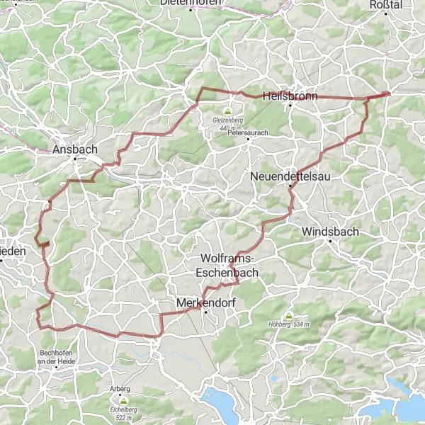
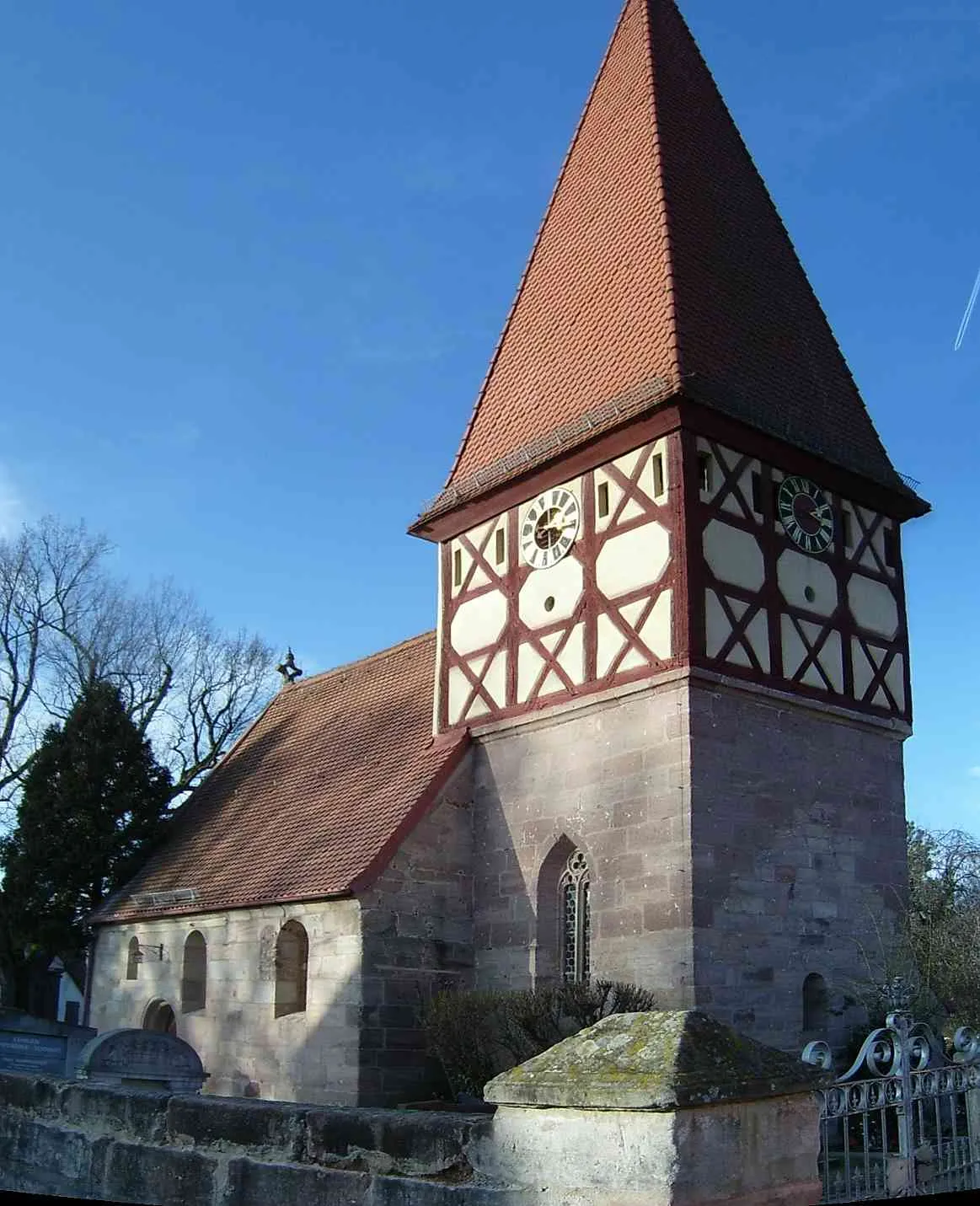
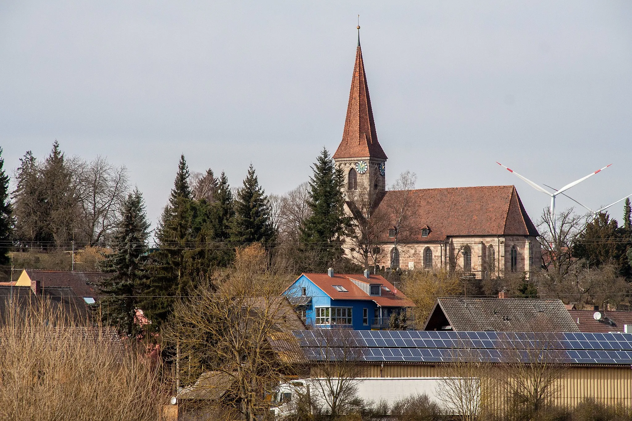
This 54-kilometer gravel route starting near Rohr takes you on a journey through Franconia's picturesque landscapes. With a total ascent of 530 meters, it offers moderate challenges for gravel enthusiasts seeking a delightful cycling experience. Discover hidden gems like Ammerndorf and Veitsbronn and take in the beautiful views from Solarberg. As you make your way through the enchanting scenery and small river valleys, you'll truly appreciate the magical charm of Mittelfranken.
Gravel Adventure near Rohr
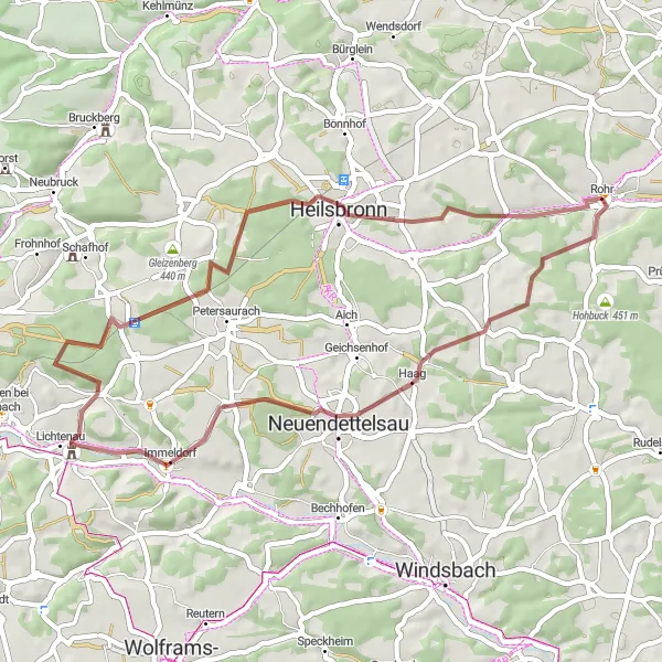
Experience the rugged beauty of gravel paths surrounding Rohr.
This gravel route near Rohr offers a thrilling adventure for gravel enthusiasts. Covering a total distance of 42 km with an elevation gain of 429 meters, it takes you through picturesque landscapes and diverse terrain. Suitable for experienced riders, this route combines challenging trails with magnificent views, making it an exciting choice for a day of off-road exploration.
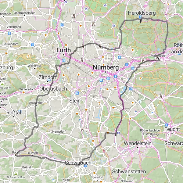
Embark on an epic road cycling adventure near Rohr and explore the beautiful landscapes of Mittelfranken.
This road cycling route near Rohr covers a distance of 86 km with an elevation gain of 539 meters, offering a challenging yet rewarding experience. Suitable for experienced riders, this route takes you through picturesque villages and scenic countryside. Enjoy the thrill of rolling hills and stunning views along the way, making it an unforgettable cycling adventure.
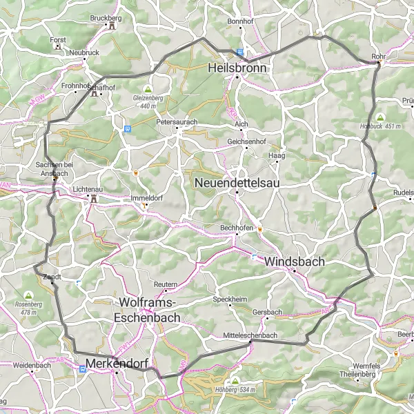
Cycle through the enchanting historical villages and countryside of Mittelfranken on this road cycling route.
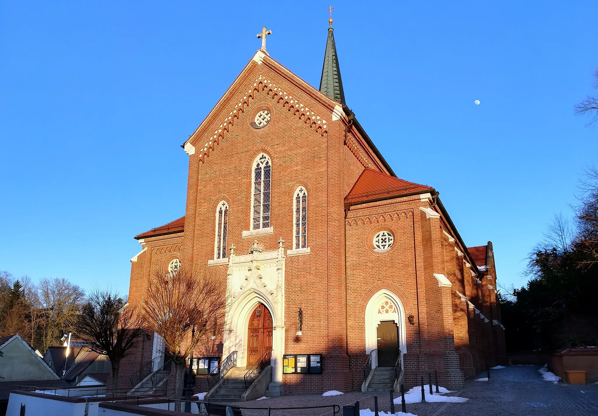
Discover the rich history and idyllic landscapes of Mittelfranken on this delightful road cycling route. With a distance of 65 km and an ascent of 575 meters, this tour offers a moderate level of difficulty suitable for amateur cyclists with some training. Immerse yourself in the region's cultural heritage as you pass through charming villages, explore historical landmarks, and enjoy the scenic countryside beauty. The epicness level of this ride is rated at 2, providing a leisurely cycling experience with ample opportunities to admire the region's architectural treasures and natural surroundings.
Embark on a scenic road cycling adventure through picturesque landscapes and historic castles.
Get ready to explore the scenic countryside of Mittelfranken and discover captivating landmarks on this 109 km road cycling route. With a challenging ascent of 895 meters, this ride is best suited for well-trained amateurs seeking a thrilling yet rewarding experience. The journey takes you through rolling hills, charming villages, and enchanting forests. With an epicness level of 4, this route is perfect for adventurers craving a blend of scenic beauty and historical exploration.
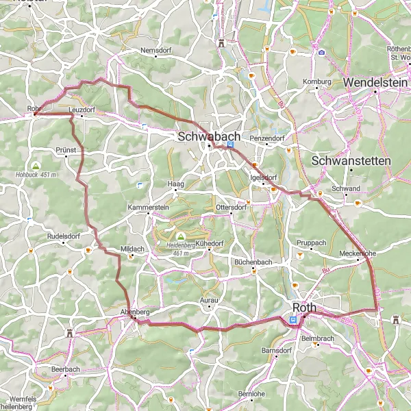
Hills and Heritage Gravel Ride
Explore the historical towns and picturesque landscapes of the region on this scenic gravel ride.
Embark on a challenging yet enjoyable gravel ride starting near Rohr, Mittelfranken. This 86 km route features beautiful rural landscapes, charming villages, and several historical highlights along the way. With a total ascent of 813 meters, the ride offers a moderate level of difficulty suitable for well-trained amateurs. The epicness level of this route is rated at 3, making it a great adventure for gravel cyclists looking for a mix of natural beauty and cultural attractions.
Embark on an exciting gravel ride that will take you through hidden gems and stunning landscapes near Rohr.
Step out of your comfort zone and prepare for an adventurous gravel ride starting from Rohr. This 58-kilometer round-trip route showcases the beauty of Mittelfranken's hidden trails and scenic countryside. With a total ascent of 590 meters, it offers a moderate challenge for gravel enthusiasts looking to explore off the beaten path. From the iconic Stadtberg to the picturesque hills of Wolfsbuck, this route promises thrilling descents and awe-inspiring views. Discover the lesser-known side of Franconia and immerse yourself in nature's wonders.

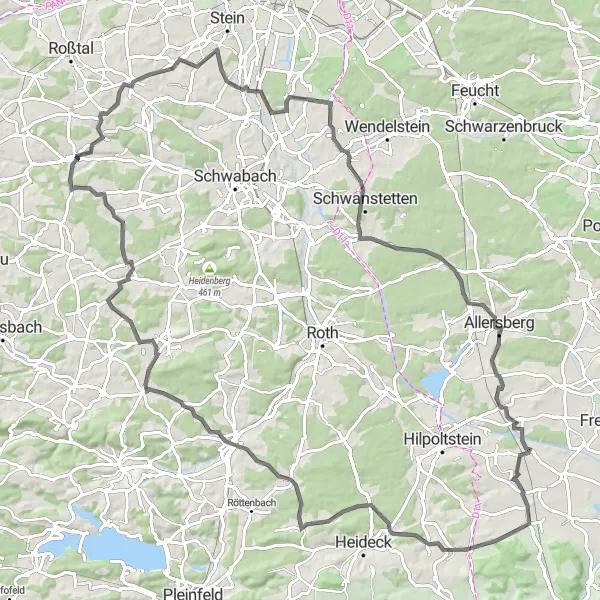
Challenge yourself on an epic gravel ride that takes you through diverse landscapes and historic sites near Rohr.
Get ready for an unforgettable adventure on this 73-kilometer gravel route starting near Rohr. With a challenging ascent of 629 meters, this journey will push your limits and reward you with diverse landscapes and historic treasures. Explore the majestic Stein and take in the panoramic views from Röthenbach bei St. Wolfgang. Traverse Rednitzhembach's enchanting streets before conquering the epic Heidenberg. As you cycle through Kammerstein, pause to admire the picturesque surroundings. With the majestic Wolfsbuck as your destination, this ride promises a memorable experience for gravel-lovers.
Cycling routes nearby:


Nearby regions: