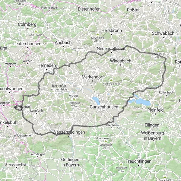
Cycling Paradise in Mittelfranken
Cycling routes from Durrwangen
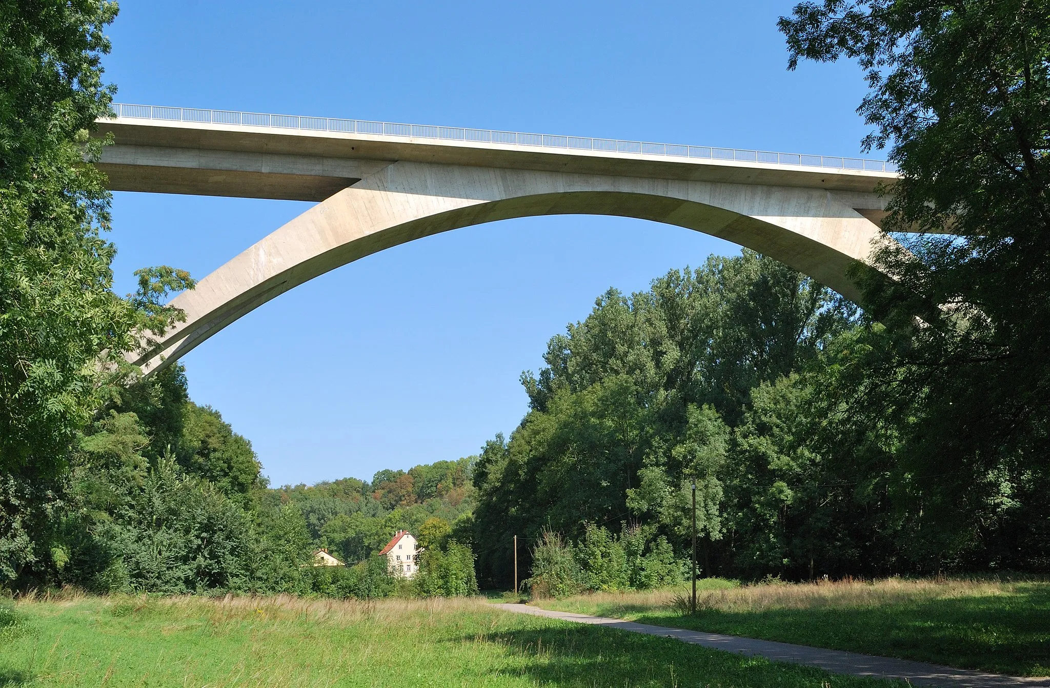
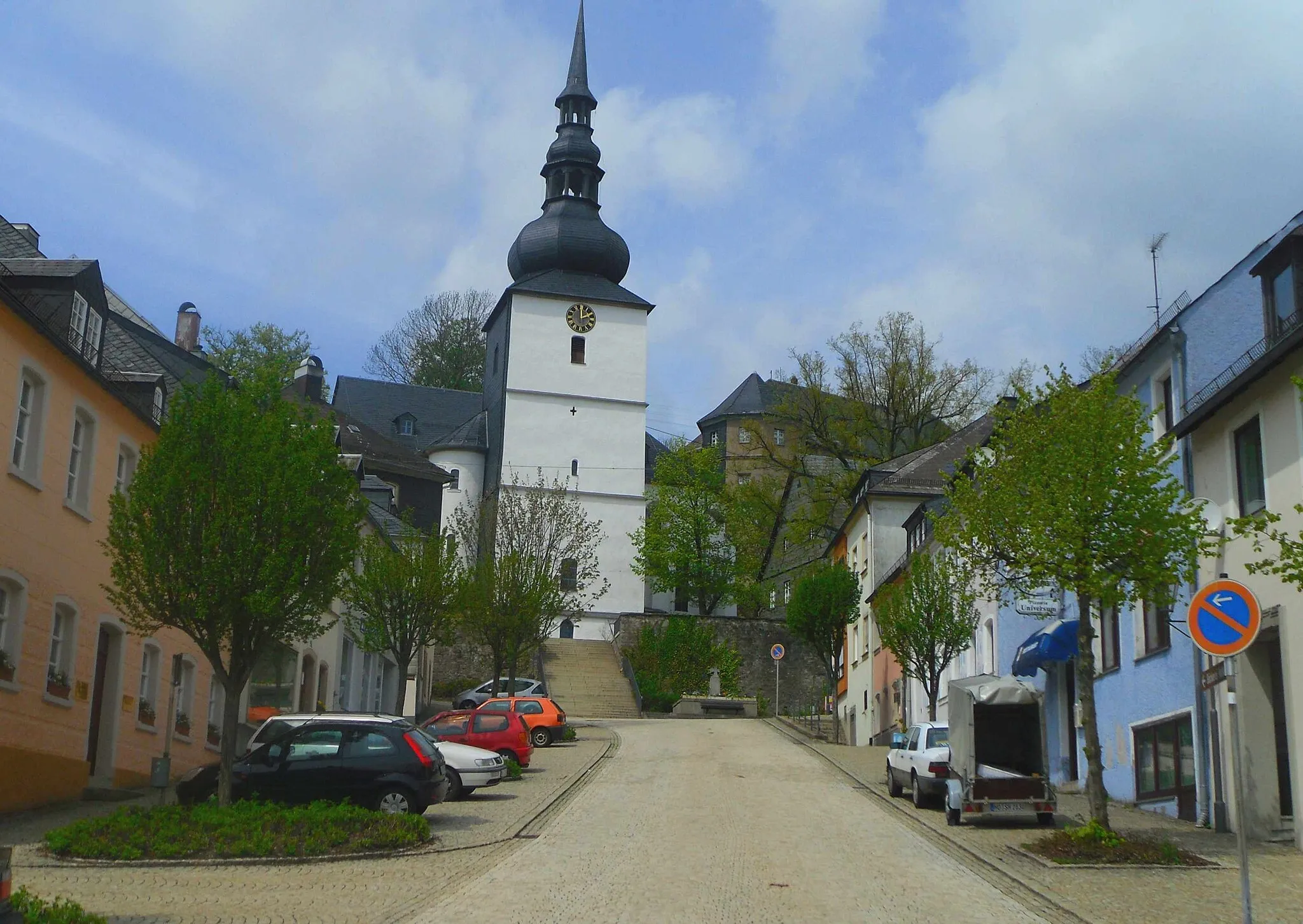
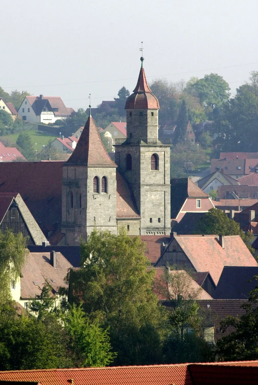
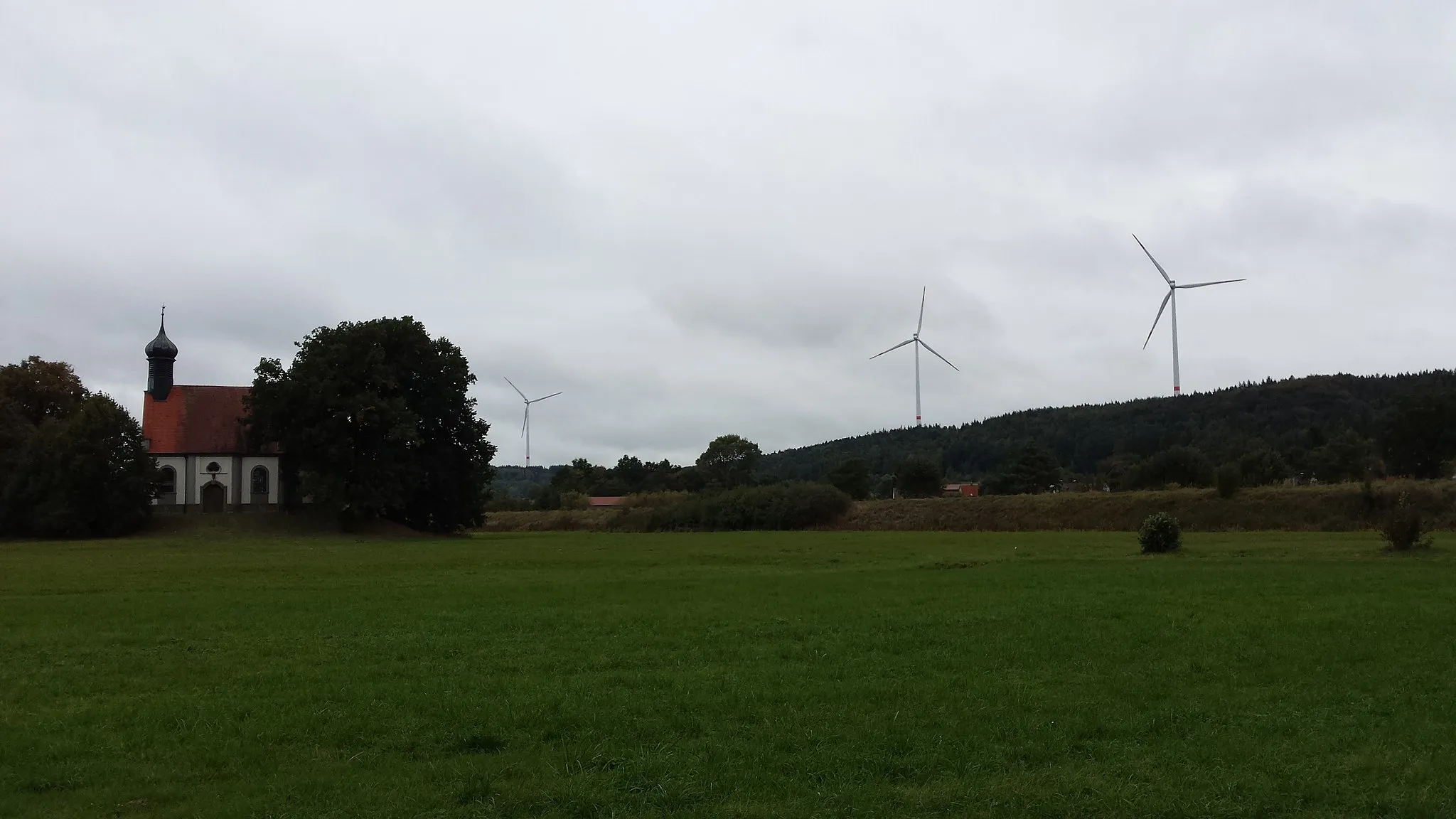
Dürrwangen, located in Mittelfranken, Germany, is a great locality for road and gravel cycling. The region offers a variety of scenic routes and quiet country roads, perfect for exploring on two wheels. Cyclists can enjoy rolling hills, picturesque landscapes, and charming small towns along the way. The area is also known for its well-maintained cycling paths and infrastructure, making it ideal for both casual riders and serious cyclists. One of the highlights of Dürrwangen is the nearby climb at XYZ Mountain, attracting enthusiasts from all over the world. With its cyclist-friendly atmosphere and stunning natural beauty, Dürrwangen is a must-visit destination for cycling enthusiasts.
Experience stunning vistas and charming towns on this scenic road cycling route.
Embark on a breathtaking road cycling experience through the picturesque landscapes of Mittelfranken. This 44-kilometer route with 369 meters of ascent offers a perfect blend of natural beauty and cultural attractions. From the enchanting Wachsenberg to the impressive Römisches Kastell Dambach, this route takes you through some of the most beautiful spots in the region. The Holzbuck and Schafbuck climbs offer a thrilling challenge for avid cyclists, while being rewarded with panoramic views at the top. Conclude your journey back in Dürrwangen, a charming village with a rich history and warm hospitality.
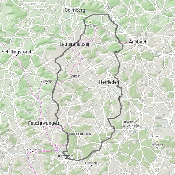
Explore the scenic route from Dürrwangen to Lerchenbuck
This route takes you through picturesque countryside, charming villages, and beautiful natural landscapes. With a distance of 68 km and an elevation gain of 584 meters, it is suitable for intermediate level cyclists.

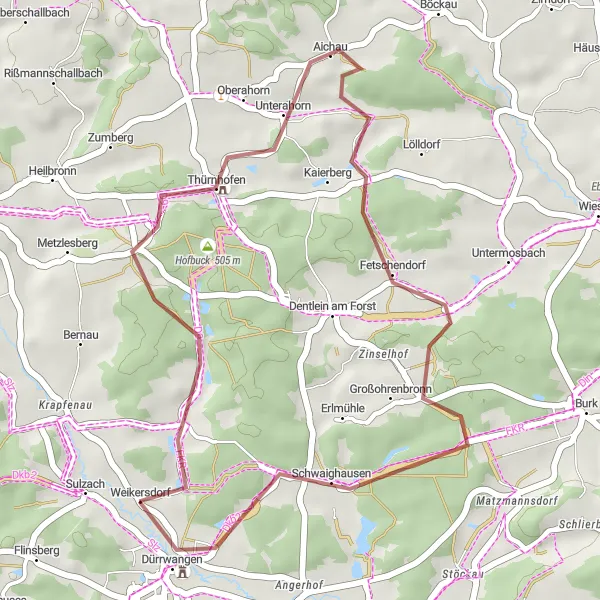
Embark on an adventurous gravel cycling tour from Dürrwangen to Roßkopf
This gravel route spans 72 km and offers an elevation gain of 622 meters. Enjoy the peaceful atmosphere and beautiful landscapes as you pedal through scenic countryside and charming villages.
Embark on a scenic journey from Zescherberg to Lerchenbuck
This 27 km gravel route offers a relaxed cycling experience with a moderate difficulty level. Enjoy the peace and tranquility of the countryside as you pass through picturesque landscapes.
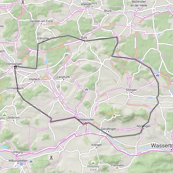
Experience the thrill of road cycling from Dürrwangen to Schlierberg
This road cycling route spans 82 km and offers challenging elevation gains of 709 meters. Enjoy breathtaking views of the countryside, charming villages, and picturesque landscapes along the way.
The Gravel Adventure
Embark on a gravel adventure through Mittelfranken
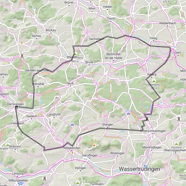
Cycle through the picturesque countryside of Mittelfranken on this gravel adventure. With a total distance of 64 km and an ascent of 468 m, the route takes you through various highlights, including the 17th-century Waltersbühl castle ruins, the charming town of Arberg, and the scenic Moßberg hill. The difficulty level of this route is moderate, suitable for well-trained amateur cyclists. The route has an epicness rating of 3, offering a memorable cycling experience.
Embark on a classic road ride through Mittelfranken
Take on the challenge of this classic road ride through the scenic landscapes of Mittelfranken. With a challenging ascent of 487 m over a distance of 63 km, this route will push your limits. Highlights of this ride include Dentlein am Forst, a charming town surrounded by picturesque countryside, the medieval town of Eberleinsberg, and the historical Römischer Wachturm Wp 13/38. With a difficulty rating of 4, this route is designed for experienced amateur cyclists. Discover the beauty and history of Mittelfranken on an epic cycling adventure.
Experience the exhilaration of hills and valleys on this gravel loop
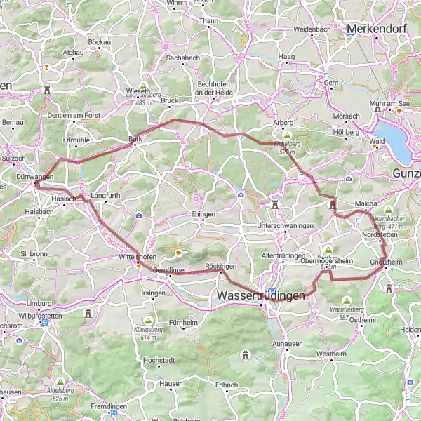
Get ready for exciting hills and scenic valleys as you embark on this challenging 83 km gravel loop. With an ascent of 637 m, this route takes you through various highlights, including the charming town of Wieseth, the impressive Mühlbuck observation tower, and the breathtaking Wurmbacher Berg. This tour is rated as a 4 in difficulty, suitable for experienced amateur cyclists. With an epicness score of 4, this route promises an unforgettable adventure.
Discover the beautiful countryside on this scenic road trip
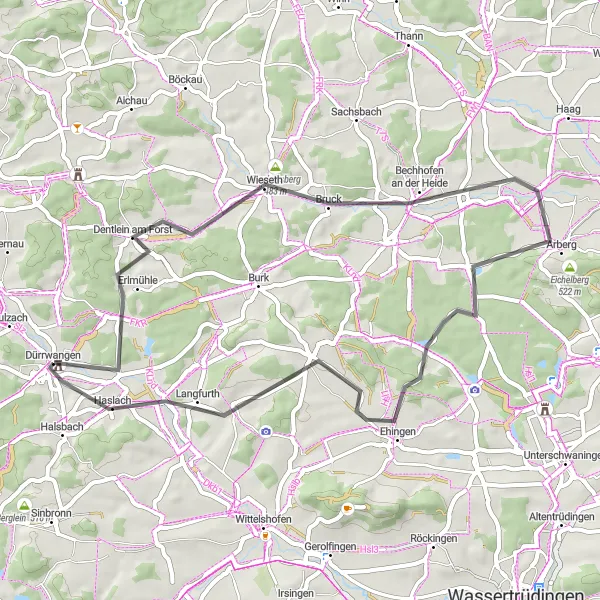
Embark on a picturesque road trip through the idyllic countryside of Mittelfranken. With a distance of 48 km and an ascent of 369 m, this route takes you through various highlights, including the charming town of Dentlein am Forst, the tranquil Eberleinsberg, and the beautiful Langfurth village. The route is suitable for moderately trained amateur cyclists, with a difficulty level of 2. Enjoy the peaceful beauty of the countryside on this memorable cycling adventure.
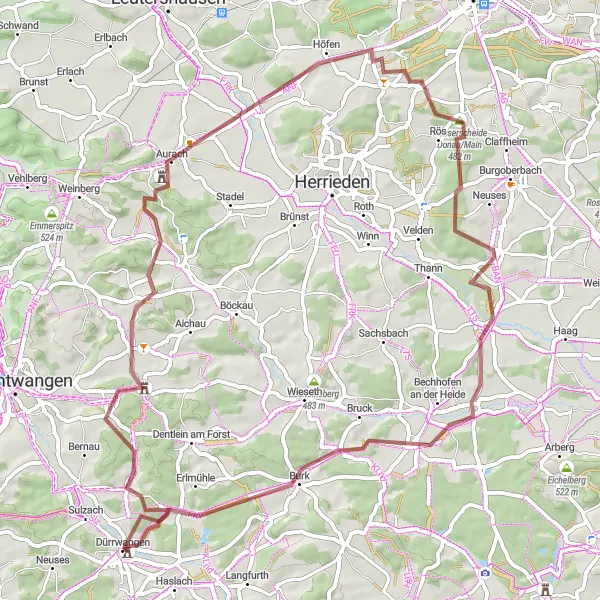
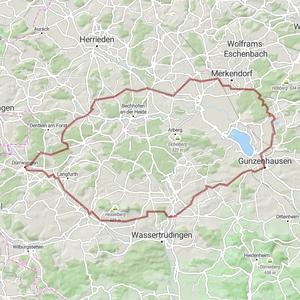
Take on the ultimate road cycling challenge from Dürrwangen to Lerchenbuck
This epic road cycling route covers a distance of 151 km with an elevation gain of 1179 meters. Prepare yourself for a challenging ride filled with breathtaking views, memorable climbs, and stunning countryside scenery.
Cycling routes nearby:


Nearby regions: