Envelop yourself in the medieval wonders of Dinkelsbühl on a cycling adventure.
Cycling routes from Dinkelsbuehl
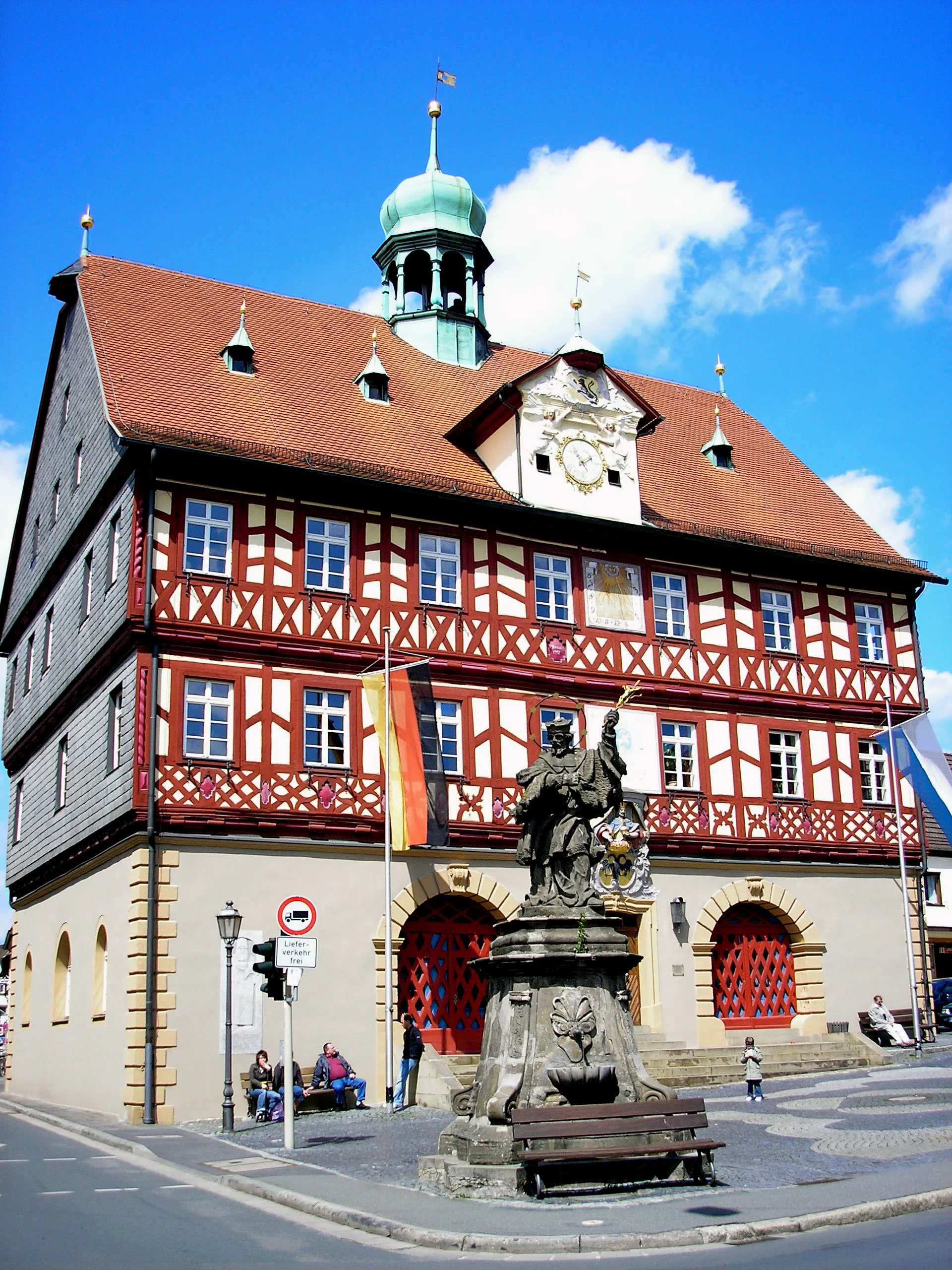
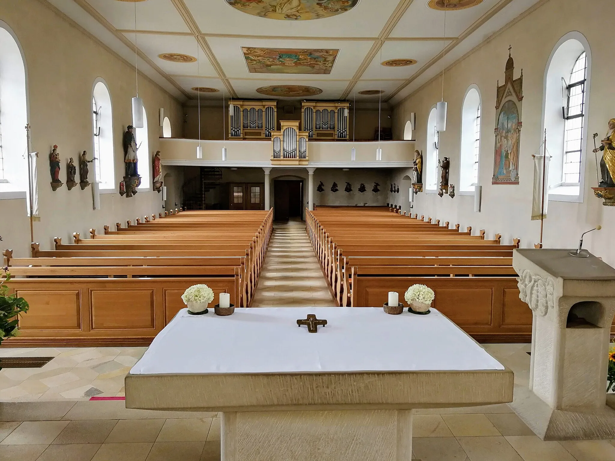
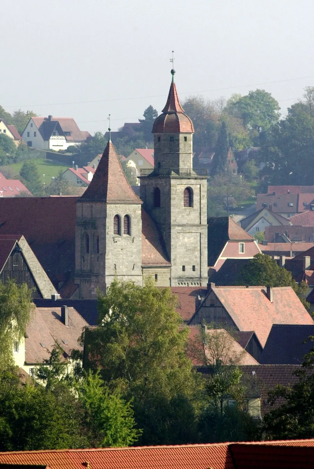
Dinkelsbühl, located in Mittelfranken, Germany, is a charming town that offers a delightful cycling experience. Cyclists can explore the well-preserved medieval architecture and cobblestone streets, immersing themselves in a historical journey. The locality provides scenic views of the Altmühl Valley and allows for leisurely rides along peaceful countryside roads. Nearby, the Franconian Heights offer challenging climbs and exhilarating descents, making it a popular spot for cyclists. With its unique blend of history and cycling opportunities, Dinkelsbühl is a destination well worth exploring on two wheels.
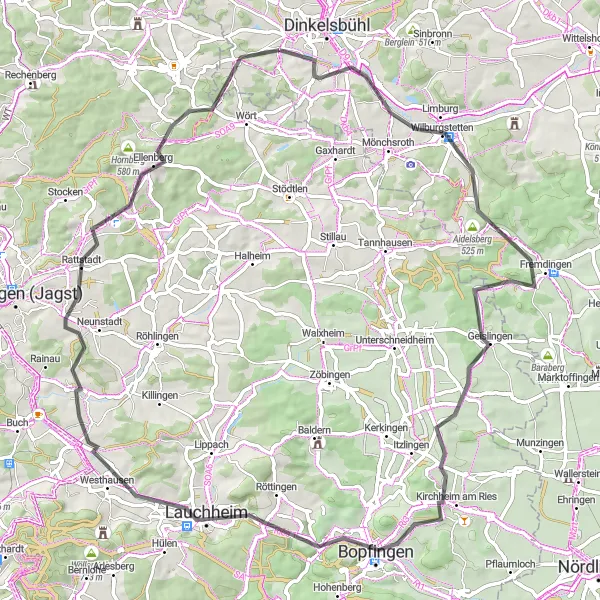
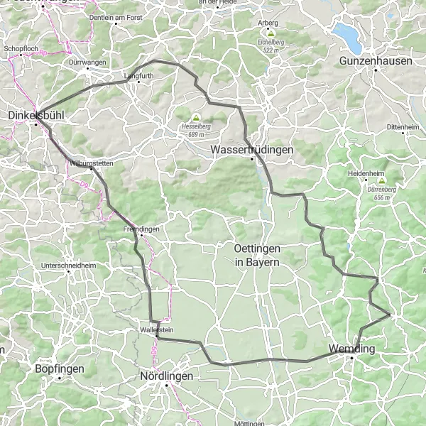
Scenic Loop around Dinkelsbühl
Explore the beautiful landscapes and historical landmarks on this scenic cycling route near Dinkelsbühl.
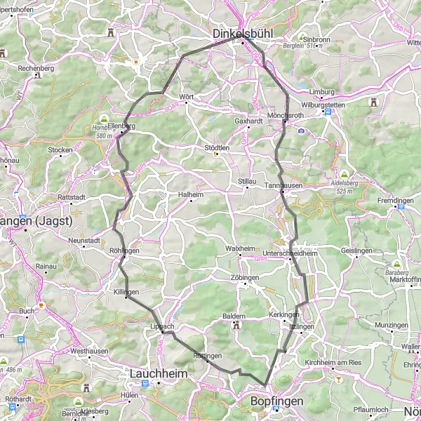
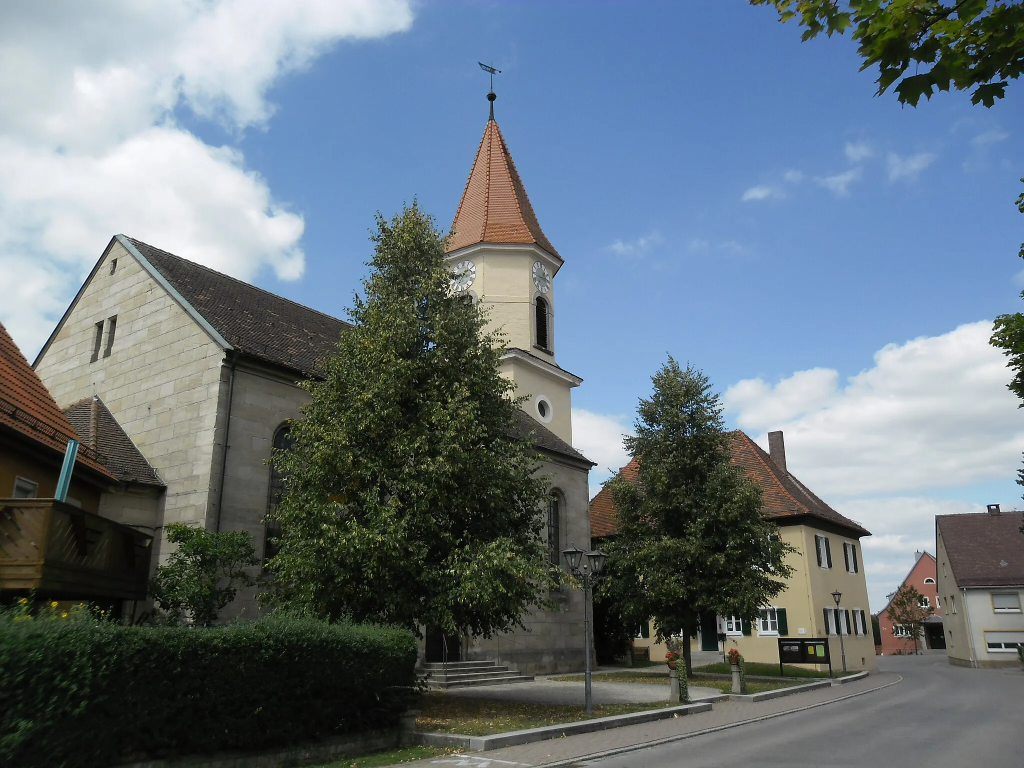
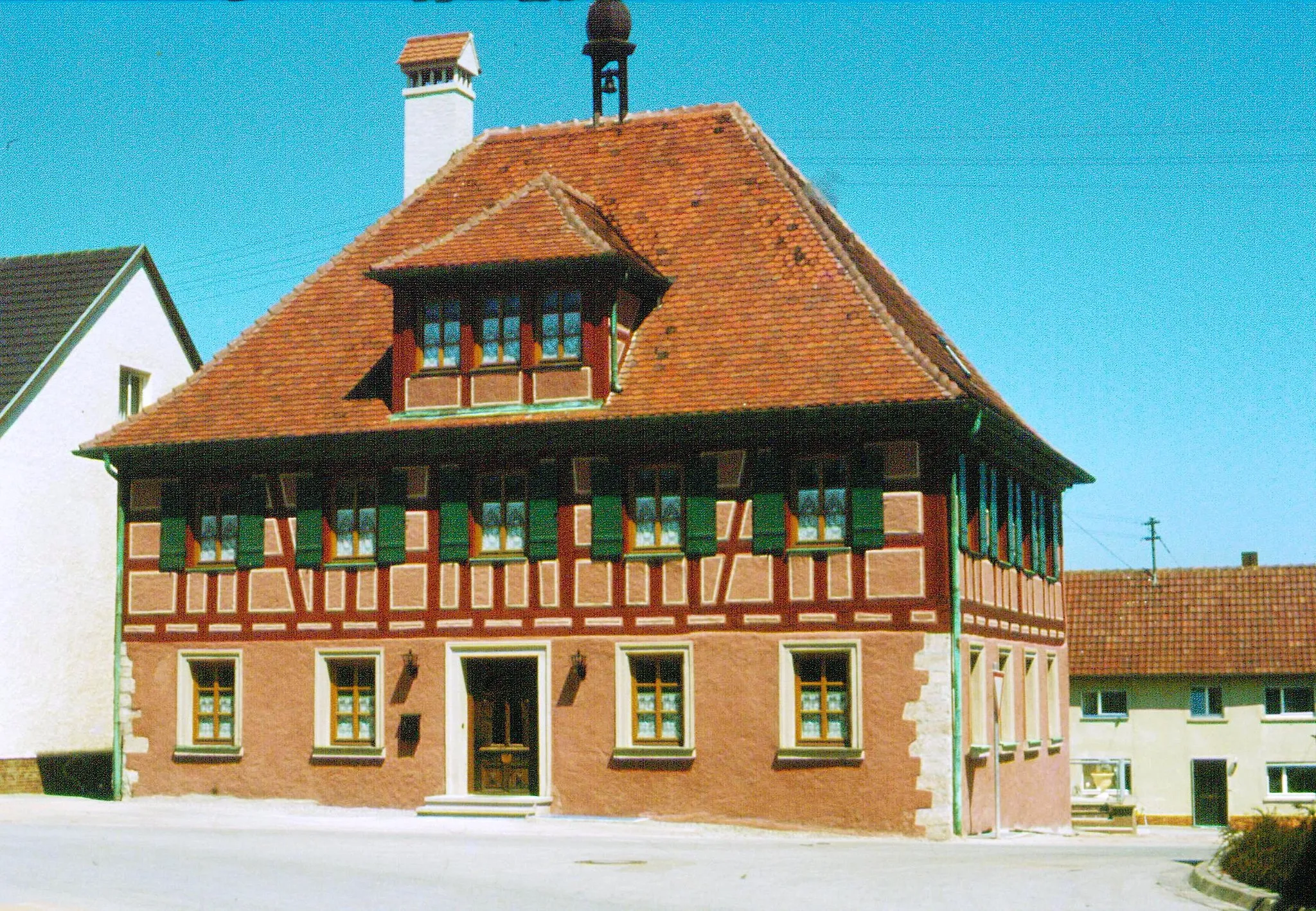
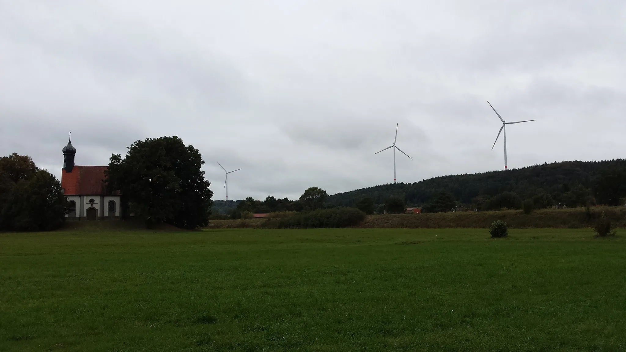
Cycle through picturesque countryside and charming villages on this moderately difficult route. With an ascent of 720m over a distance of 64km, this route offers a good balance for amateur cyclists looking for a challenge without being too demanding. Take in the sights of Stadtbuck, a distinctive hill offering panoramic views, and make a stop at Wachturm WP 13/1, a watchtower with a fascinating history. Ride through Unterschneidheim, known for its picturesque architecture, and pass by Karkstein, a stunning castle. Another highlight is Wasserscheide Neckar/Donau, a watershed point between the two rivers. Don't miss Segringen, a charming village with traditional timber-framed houses.
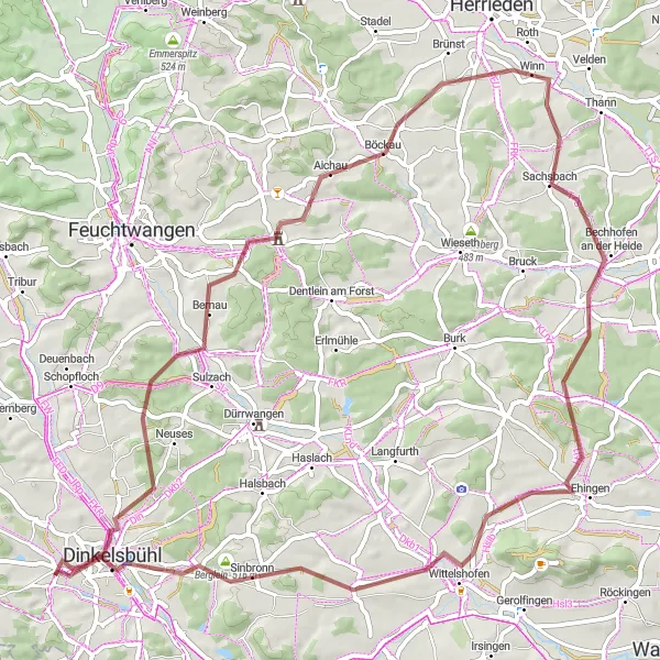
Historic Discovery by Road
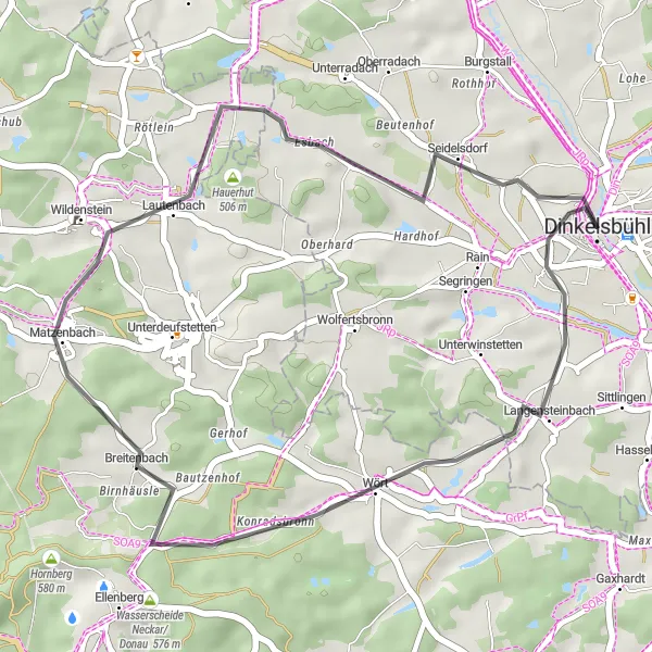
From Wört to Deutschordensschloss
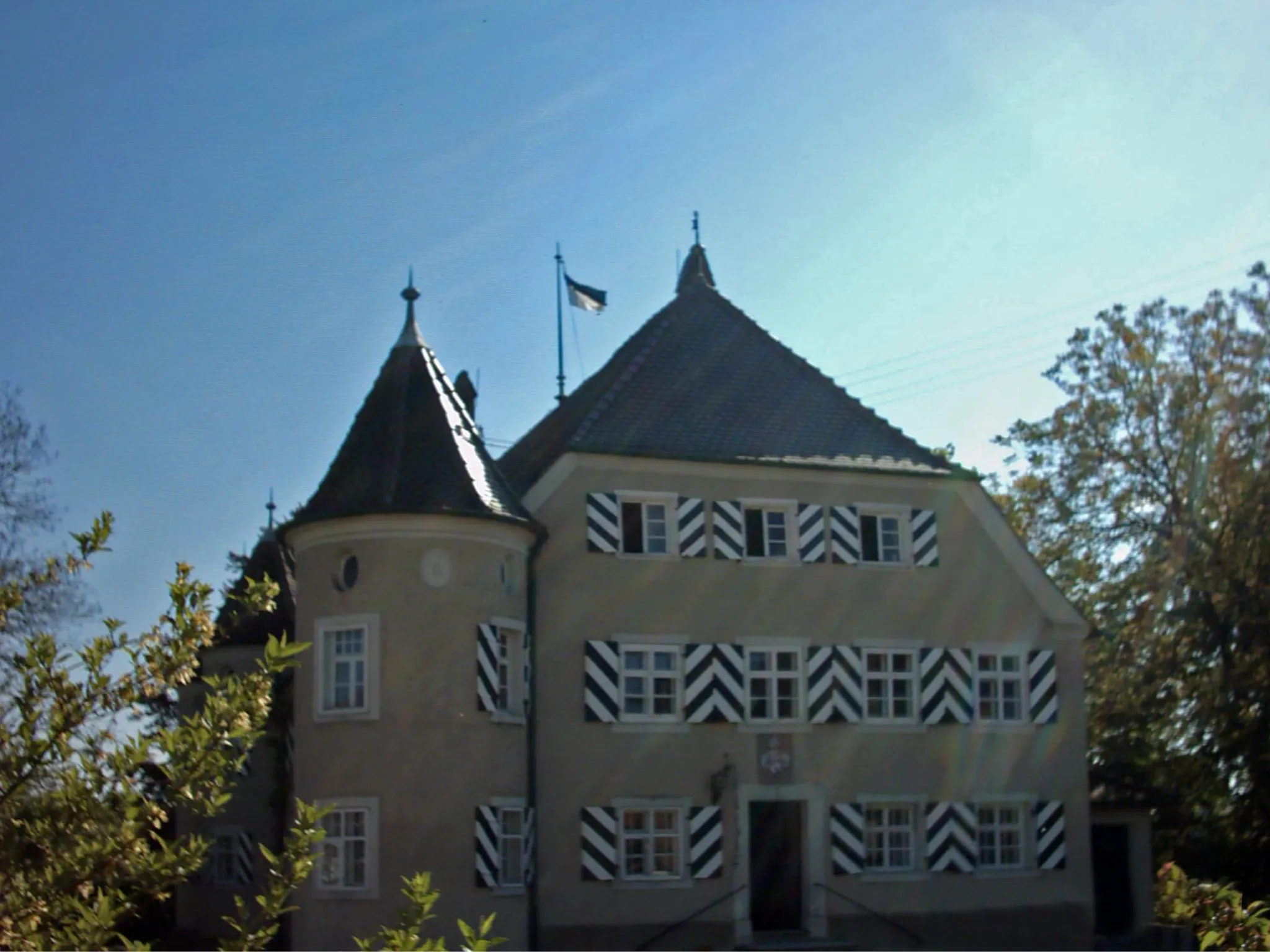
This road cycling route takes you on a historic journey through the beautiful landscape of Mittelfranken. Starting in Wört, you'll pedal through charming villages and rolling hills, passing by the iconic Deutschordensschloss castle. The route offers a moderate challenge with a total ascent of 303 meters for a distance of 29 kilometers. Enjoy the picturesque scenery and discover the rich history along the way.
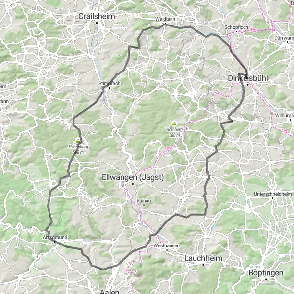
Embark on a thrilling cycling adventure through scenic countryside and historic landmarks.
This adventurous route will take you through stunning landscapes, charming villages, and historical sites. With an ascent of 1125m over a distance of 101km, this route is more challenging, suited for experienced cyclists looking for a thrilling ride. Start in Dinkelsbühl, a town known for its medieval architecture. Admire the beauty of Hintersteinbach, a small village nestled in the picturesque countryside. Attenhofen boasts traditional half-timbered houses and rich cultural heritage. Kappelberg offers panoramic views and a peaceful atmosphere. Don't miss Adelmannsfelden, a village with a charming historic center. Schönberg is another highlight along the route with its natural beauty and idyllic surroundings. Stimpfach is known for its tranquil rural setting, making it the perfect place to take a break. Continue cycling through Hirschberg and Weidelbach, both offering stunning views of the countryside. Complete your journey with a visit to Deutschordensschloss, an impressive castle with a fascinating history.
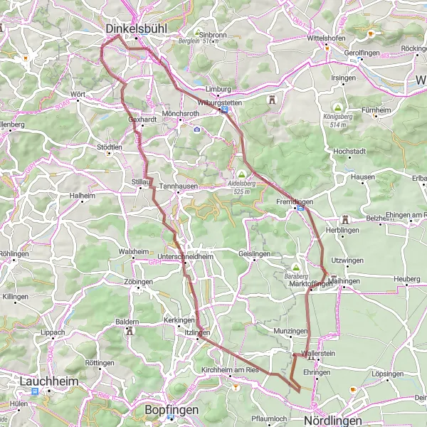
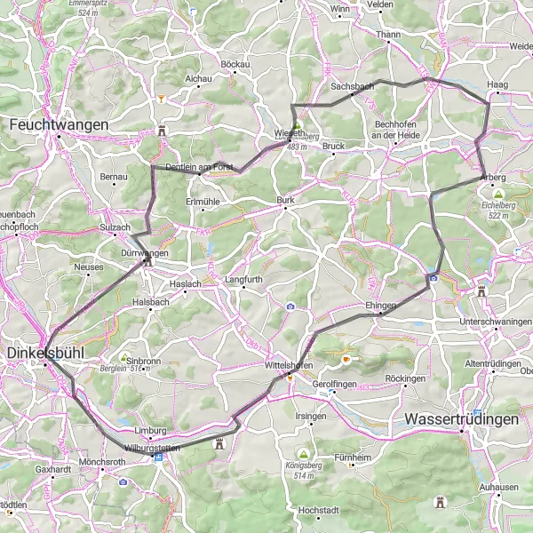
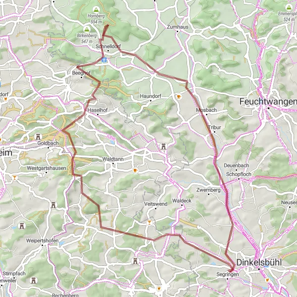
Embark on a gravel cycling journey full of scenic beauty and cultural richness near Dinkelsbühl.
Experience the unique charm of Wilburgstetten as you cycle through picturesque landscapes and small towns. With an ascent of 428 meters and a distance of 63 kilometers, this route offers a moderate challenge for avid cyclists. Discover the historic town of Rosenberg and its well-preserved medieval castle, as well as the tranquil beauty of Ulrichsberg and Marktoffingen. Munzingen is another highlight along the way, where you can take a break and enjoy the lovely countryside views before continuing your adventure.
Embark on a journey through stunning landscapes and discover the rich history of the region.
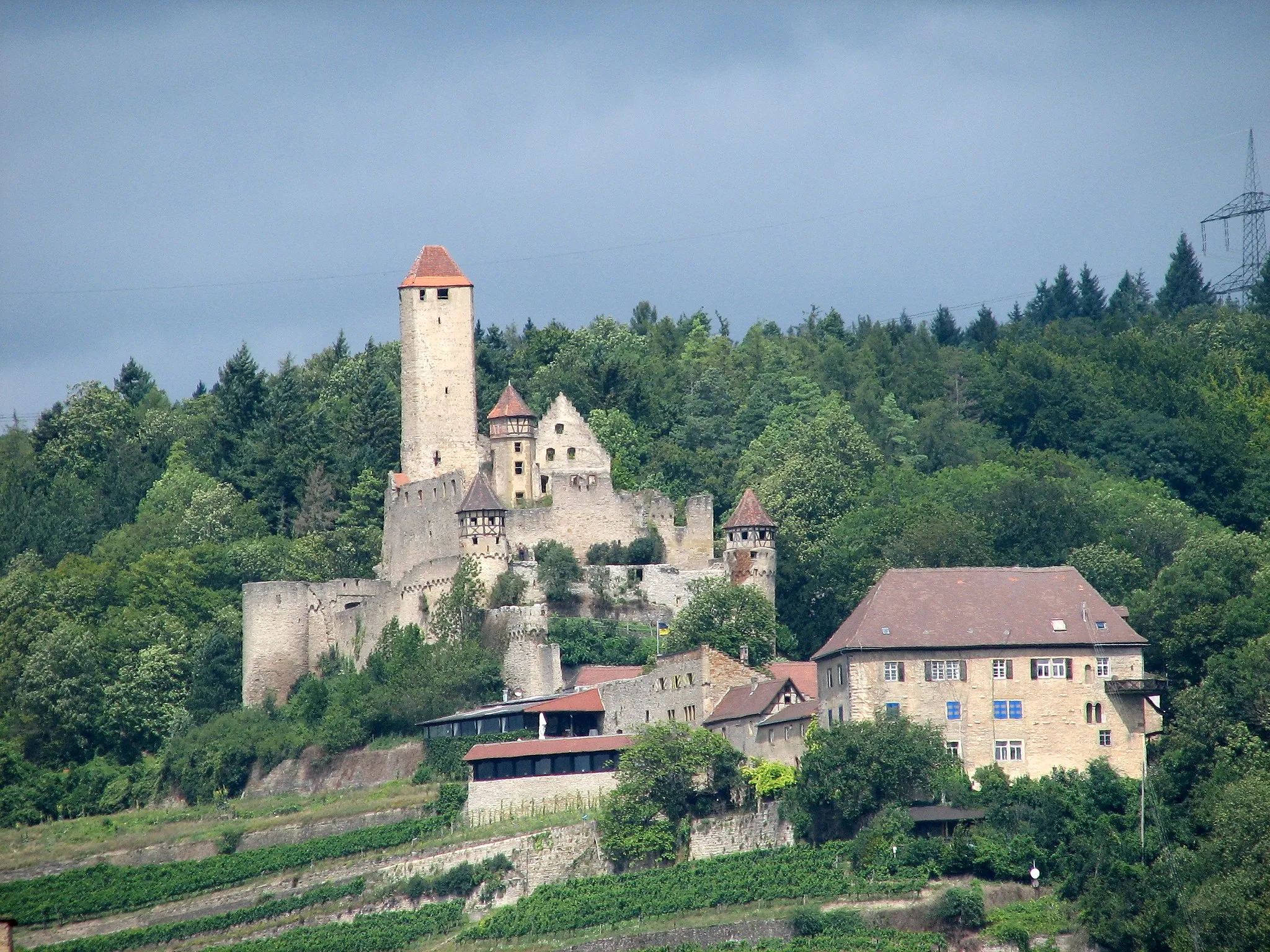
This route combines scenic beauty with historical fascinating landmarks. With an ascent of 779m over a distance of 78km, this route offers a moderate challenge for experienced cyclists. Stop by Wachturm WP 13/5, another watchtower that played a role in defending the area. Explore Rosenberg, a town known for its historical significance and architectural gems. Geislingen features several notable historical buildings, including a medieval gate. Don't miss the majestic Ipf, an ancient hilltop settlement with archaeological remains. With its picturesque scenery, Lauchheim is another highlight along the route. Ride through Dalkingen, a charming village with traditional houses, before reaching Wasserscheide Neckar/Donau, the division between two major rivers. Complete your journey in Segringen, a lovely village with well-preserved timber-framed buildings.
Embark on an off-road gravel adventure through pristine landscapes and immerse yourself in nature.
This gravel adventure takes you through stunning natural landscapes, providing a unique and challenging cycling experience. With an ascent of 726m over a distance of 68km, this route is suitable for cyclists who are comfortable riding on unpaved terrain. Start in Rain and enjoy the remote beauty of the area. Experience the thrilling downhill ride on Schnabelberg. Admire the scenic views from Hofbuck and navigate through the thrilling terrain of Mückenbühl. Enjoy the tranquil surroundings of Höhberg before heading towards Wittelshofen, a picturesque village with charming rural landscapes. Berglein is a hidden gem nestled amidst breathtaking nature. Don't miss the opportunity to explore Dinkelsbühl, a town rich in history and architectural beauty.
From Dinkelsbühl to Wilhelmshöhe
Embark on a thrilling gravel adventure through the scenic countryside of Mittelfranken. This 42-kilometer route begins in Dinkelsbühl and takes you through idyllic landscapes and charming villages. With 468 meters of ascent, this route offers a moderate to challenging experience for gravel enthusiasts. Be amazed by the diverse terrain and explore hidden gems along the way, ending at the impressive Wilhelmshöhe.
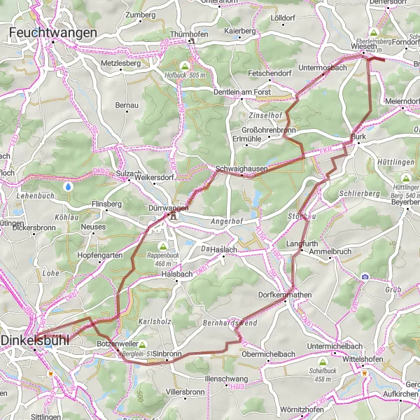
Immerse yourself in history and natural beauty on this cycling route through picturesque villages.
This scenic route will take you through historical villages and offer charming views of the countryside. With 515m of ascent spread over 70km, this route is suitable for amateur cyclists looking to explore the area without significant difficulty. Lerchenbuck is a notable highlight, offering scenic beauty and peaceful surroundings. Dentlein am Forst is a picturesque village with a charming town center. Enjoy cycling through Mühlbuck, a historically significant area with architectural treasures to discover. The village of Arberg features stunning views of the surrounding landscapes. Wittelshofen is another attractive stop along the route, with plenty of rural charm. Complete your journey in Wilburgstetten, a village known for its well-preserved buildings and idyllic atmosphere. Don't miss out on Stadtbuck, which offers panoramic views of the surrounding countryside and is a truly memorable highlight.
Embark on an exhilarating road cycling adventure through the stunning landscapes surrounding Dinkelsbühl.
This road cycling route offers a thrilling challenge with a total ascent of 849 meters over a distance of 106 kilometers. Experience the beauty of Langfurth and Schlierberg as you ascend their challenging hills. Discover the panoramic views from Hohe Buck and Auhausen before continuing your journey to Wolferstadt. Deiningen, Fremdingen, and Aidelsberg offer captivating landscapes and a chance to catch your breath before conquering the next leg of the adventure.
Experience the beauty of Rain and its surrounding areas on this gravel cycling route near Dinkelsbühl.
Discover the charming village of Rain and immerse yourself in the stunning landscapes of the region. With an ascent of 572 meters over a distance of 54 kilometers, this gravel route provides a moderate challenge for cyclists. Enjoy the serenity of Mariäkappel and the natural beauty of Pechberg. Cycle through Pfeifbuck, known for its picturesque scenery, before reaching Larrieden and Seidelsdorf, where you can take a moment to appreciate the tranquility of the countryside.
Cycling routes nearby:


Nearby regions: