Explore Idyllic Countryside Routes in the Stuttgart Region
Cycling routes from Ellenberg
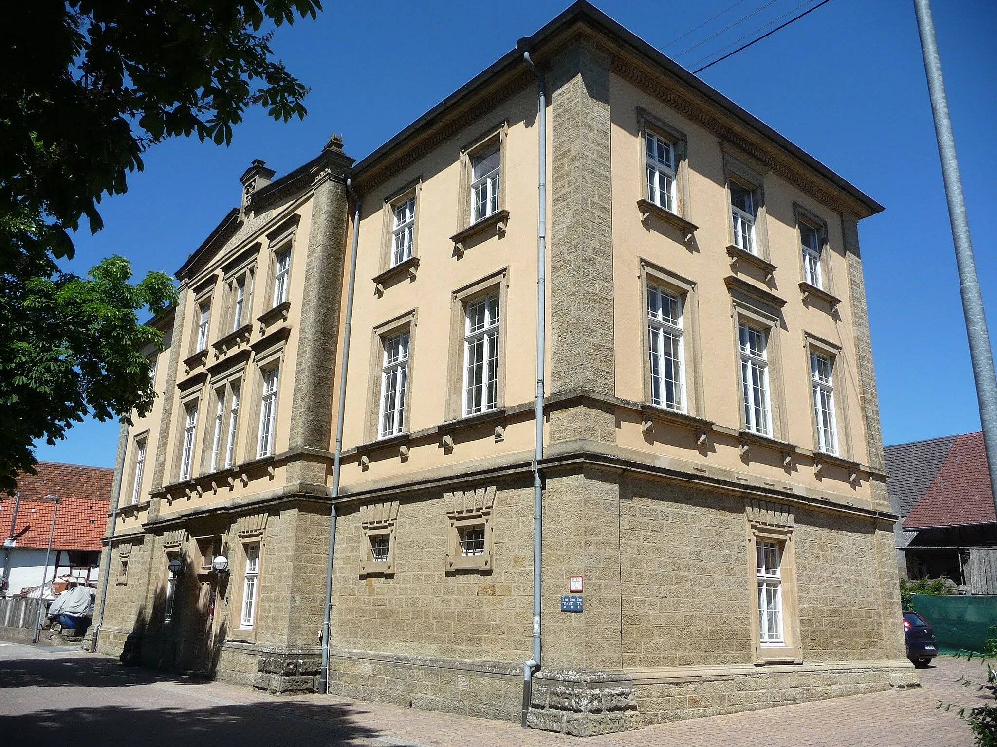
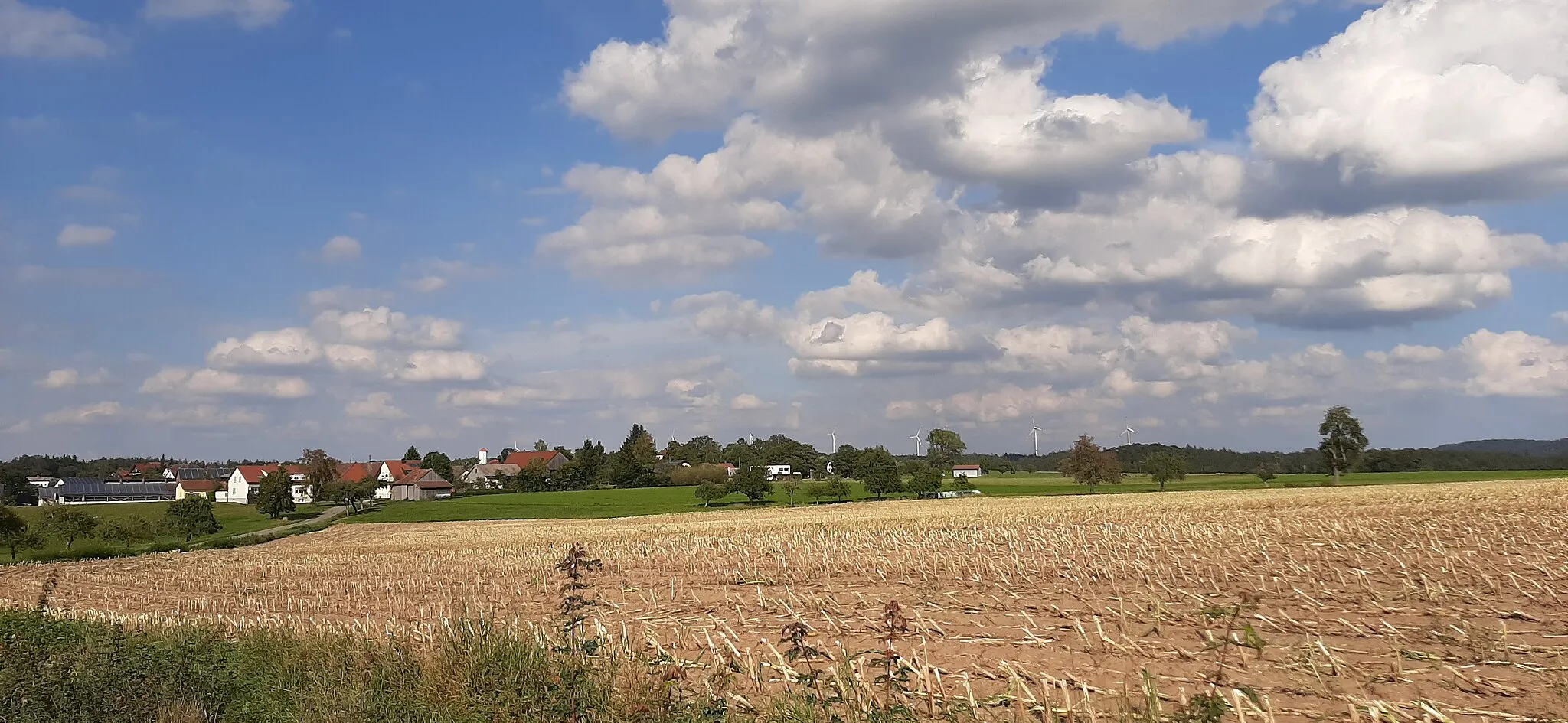
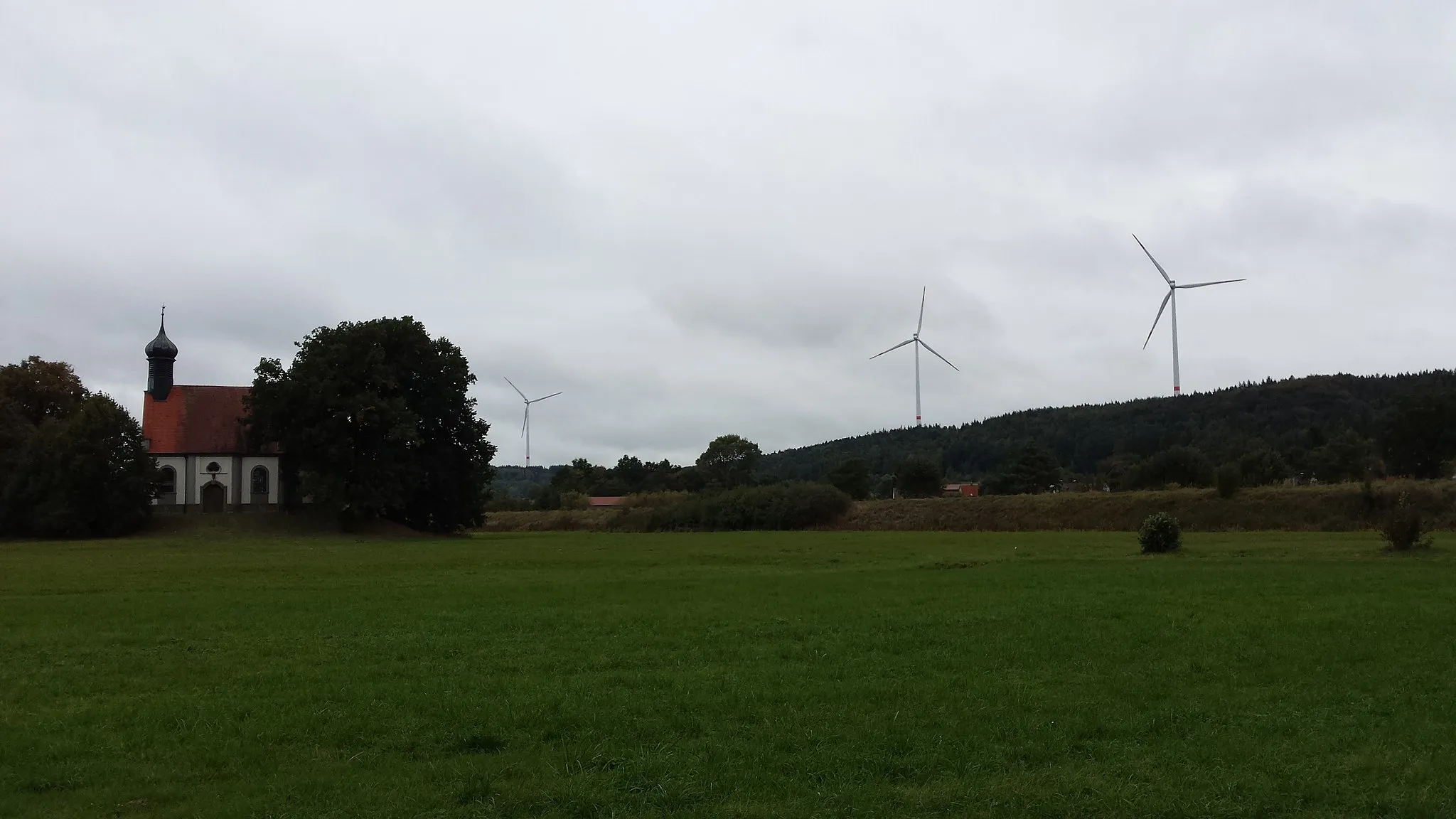
Ellenberg is located in the Stuttgart region of Germany, offering a delightful cycling experience for both road and gravel cyclists. The area features a mix of flat terrain and rolling hills, providing cyclists with diverse routes to explore. Cyclists can enjoy rides through picturesque vineyards and idyllic countryside. While Ellenberg may not have any famous cycling-related spots or well-known climbs nearby, its scenic beauty and cyclist-friendly environment make it a desirable destination for cycling enthusiasts.
The Neckar-Donau Watershed
Cycle through the picturesque landscape of the Neckar-Donau watershed
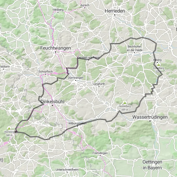
This route takes you through the scenic terrain of the Neckar-Donau watershed. With a total distance of 97 km and an ascent of 987 m, it offers a nice challenge for amateur cyclists. The road bike route passes through Seidelsdorf, Dentlein am Forst, Eberleinsberg, Arberg, Klarberg, Holzbuck, Keltenschanze, and Stödtlen. The highlights along the route include the picturesque Wasserdecke Neckar/Donau, the historic Keltenschanze, and the charming village of Stödtlen.
Stuttgart to Mariäkappel Loop
Explore the scenic route from Stuttgart to Mariäkappel through picturesque landscapes
This round-trip cycling route takes you from Stuttgart to Mariäkappel, offering breathtaking scenery and charming towns along the way. The route is suitable for road biking and covers a distance of 79 kilometers, with a total ascent of 878 meters. This moderate difficulty route is perfect for well-trained amateurs looking for a challenging yet rewarding ride. Although the ascent may be demanding, you'll be rewarded with stunning views and peaceful countryside throughout your journey.
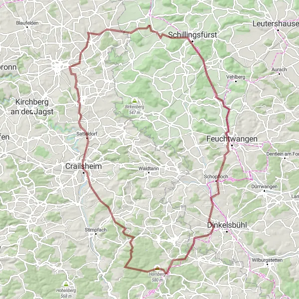
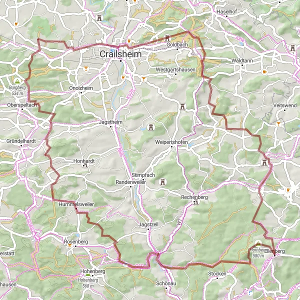
Embark on a thrilling gravel adventure through the picturesque countryside of Hohenlohe.
Explore the stunning landscapes of Hohenlohe with this 100 km gravel route. With an ascent of 1073 m, this challenging ride is perfect for adventurous cyclists. Along the way, you'll pass through Pfannenburg, Satteldorf, Brettheim, Sonnenberg, Vetschenberg, Dombühl, Feuchtwangen, Lehengütingen, and Schnabelberg. Highlights of the route include the medieval castle at Pfannenburg, the scenic village of Satteldorf, and the charming town of Feuchtwangen.
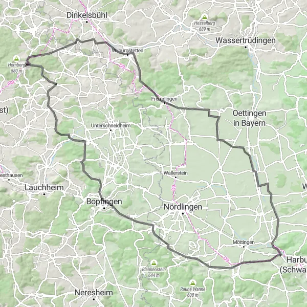
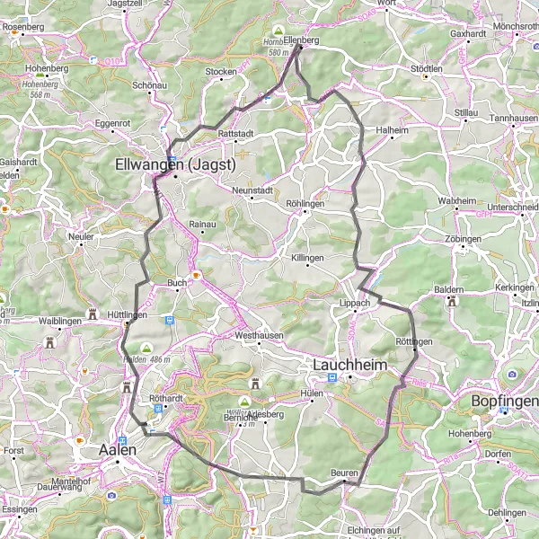
Immerse yourself in the enchanting landscapes of Ellergrund on this road cycling route
Experience the captivating beauty of Ellergrund with this 112 km road cycling route. With an ascent of 806 m, this route is suitable for amateur cyclists who want to enjoy the scenic landscapes. The route passes through Stadtbuck, Wachturm WP 13/5, Heuberg, Rollenberg, Mönchsdeggingen, Schlossberg, and Bopfingen. Enjoy the tranquil atmosphere and breathtaking views along the way.
Neckar and Danube Watershed
Gravel adventure crossing the watershed between the Neckar and Danube rivers
Embark on a gravel adventure crossing the watershed between the Neckar and Danube rivers. This 87-km route offers scenic views and provides a challenge with a total ascent of 1042 meters. Get ready to conquer the Wasserscheide Neckar/Donau and other breathtaking highlights along the way.
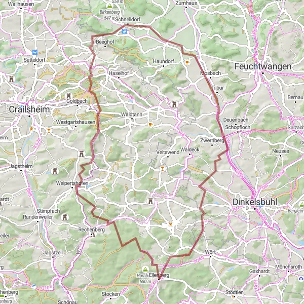
Journey through historical treasures and enjoy the natural beauty of the region
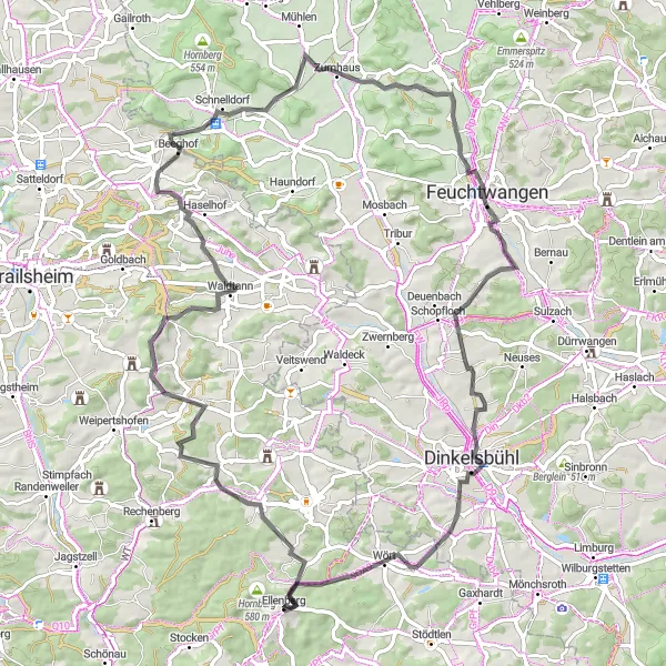
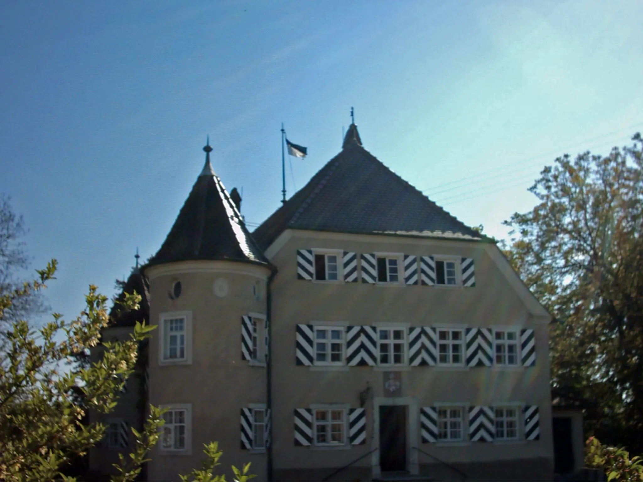
Embark on a 62-km gravel journey filled with historical treasures and captivating natural beauty. With an ascent of 748 meters, this route will captivate you with highlights such as Hornberg, Burg Lohr, and Oberradach. Immerse yourself in the rich history and marvel at the scenic landscapes along the way.
Embark on an exhilarating gravel adventure from Stuttgart to Hornberg and Oßhalden through stunning natural landscapes
Get ready for an epic gravel cycling adventure from Stuttgart to Hornberg and Oßhalden. This 71-kilometer route is perfect for gravel enthusiasts looking for a mix of challenging terrain and beautiful scenery. With a total ascent of 953 meters, this intermediate difficulty route provides a thrilling experience for avid cyclists. Along the way, you'll encounter dense forests, rolling hills, and picturesque villages that showcase the beauty of the region.
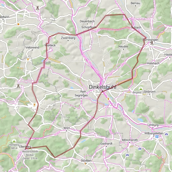
Explore the rural charm and beautiful landscapes of Stuttgart's surroundings
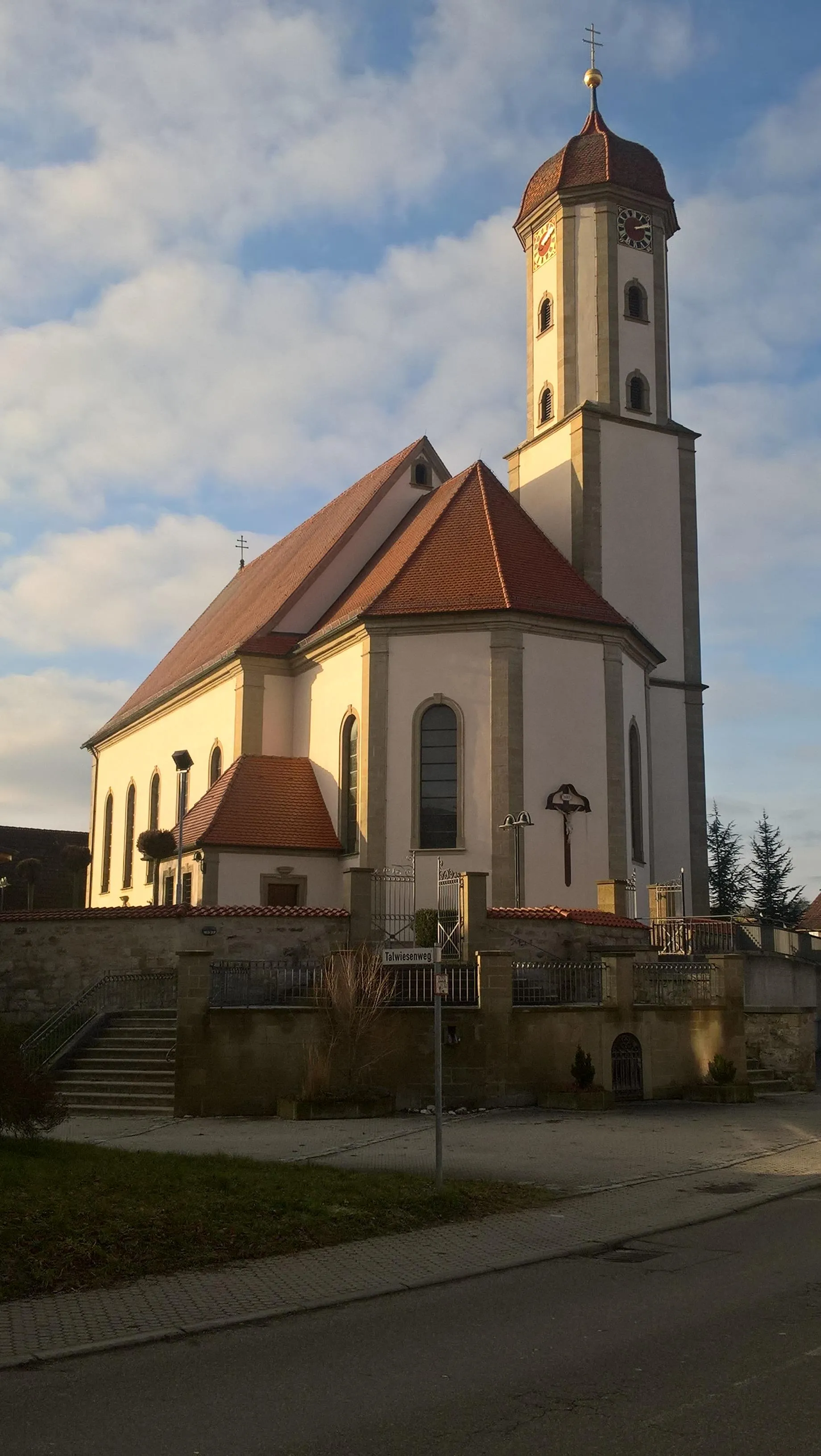
Immerse yourself in the rural charm and captivating landscapes surrounding Stuttgart. This 48-km gravel route offers an ascent of 575 meters, making it suitable for moderate-level cyclists. Discover hidden gems such as Hauerhut and Wilhelmshöhe. Don't miss the opportunity to visit the picturesque Dinkelsbühl and enjoy its well-preserved medieval architectural heritage.
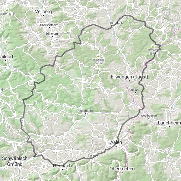
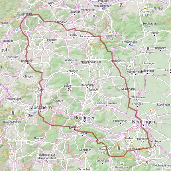
Embark on a scenic journey through the picturesque Kocher Valley
Discover the beauty of the Kocher Valley with this scenic 122 km road cycling route. With an ascent of 1,407 m, this route is suitable for experienced cyclists seeking a challenging ride. The route passes through Dalkingen, Kappelberg, Aalen, Heubach, Sand, Täferrot, Burgruine Kransberg, Bühlerzell, Honhardter Kreuz, and Stimpfach. Enjoy the diverse landscapes and breathtaking views along the way.
Discover picturesque routes with stunning hilltop views and cultural attractions
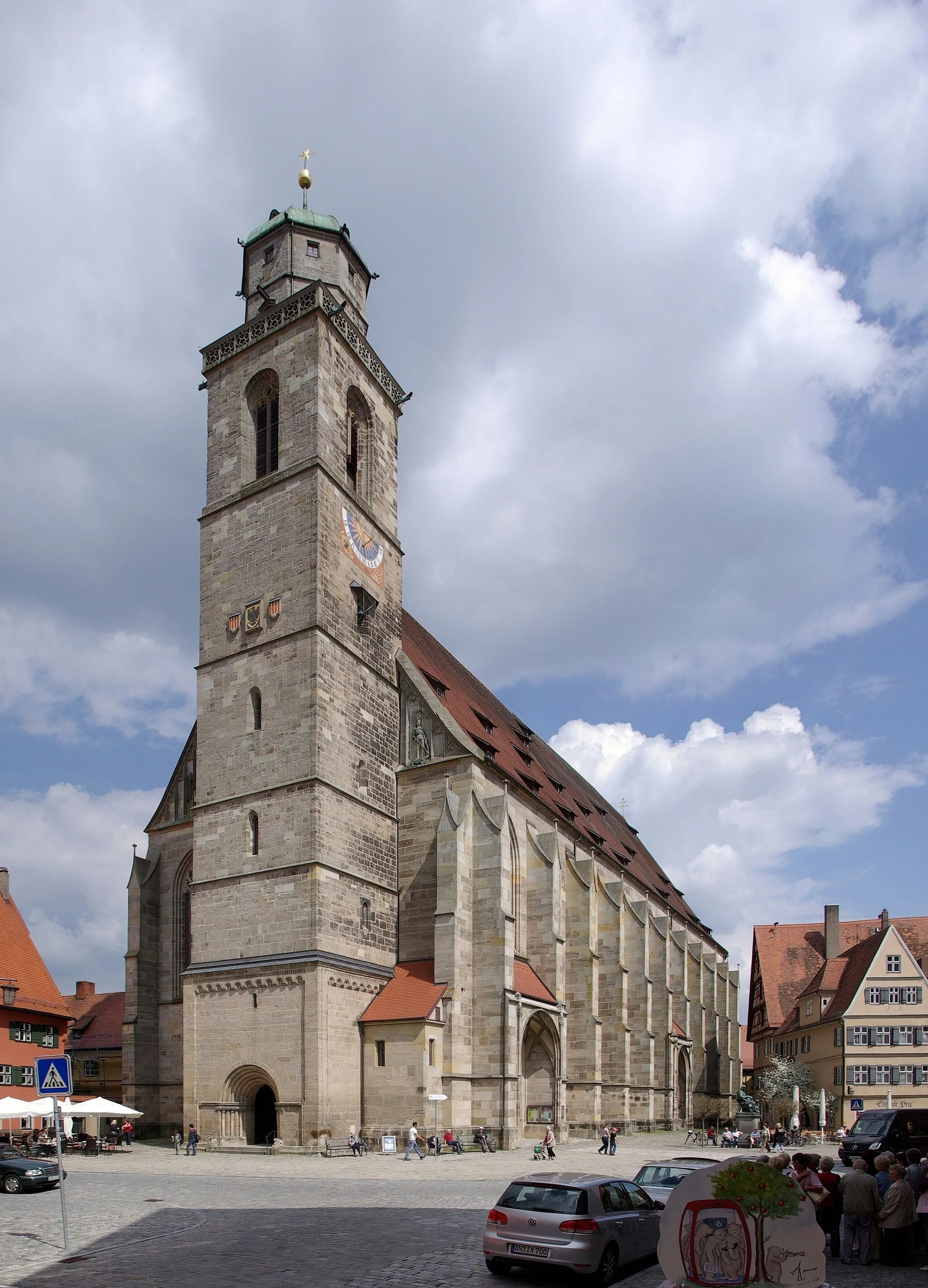
Discover the beauty of picturesque routes near Stuttgart that will amaze you with stunning hilltop views. This 69-km road route is challenging, with a total ascent of 927 meters. Admire attractions such as Dettenroden, Ellwangen (Jagst), and Muckental, offering both cultural and natural highlights for the curious cyclist.
Cycling routes nearby:


Nearby regions: