Cycling paradise in the heart of Stuttgart region.
Cycling routes from Jagstzell
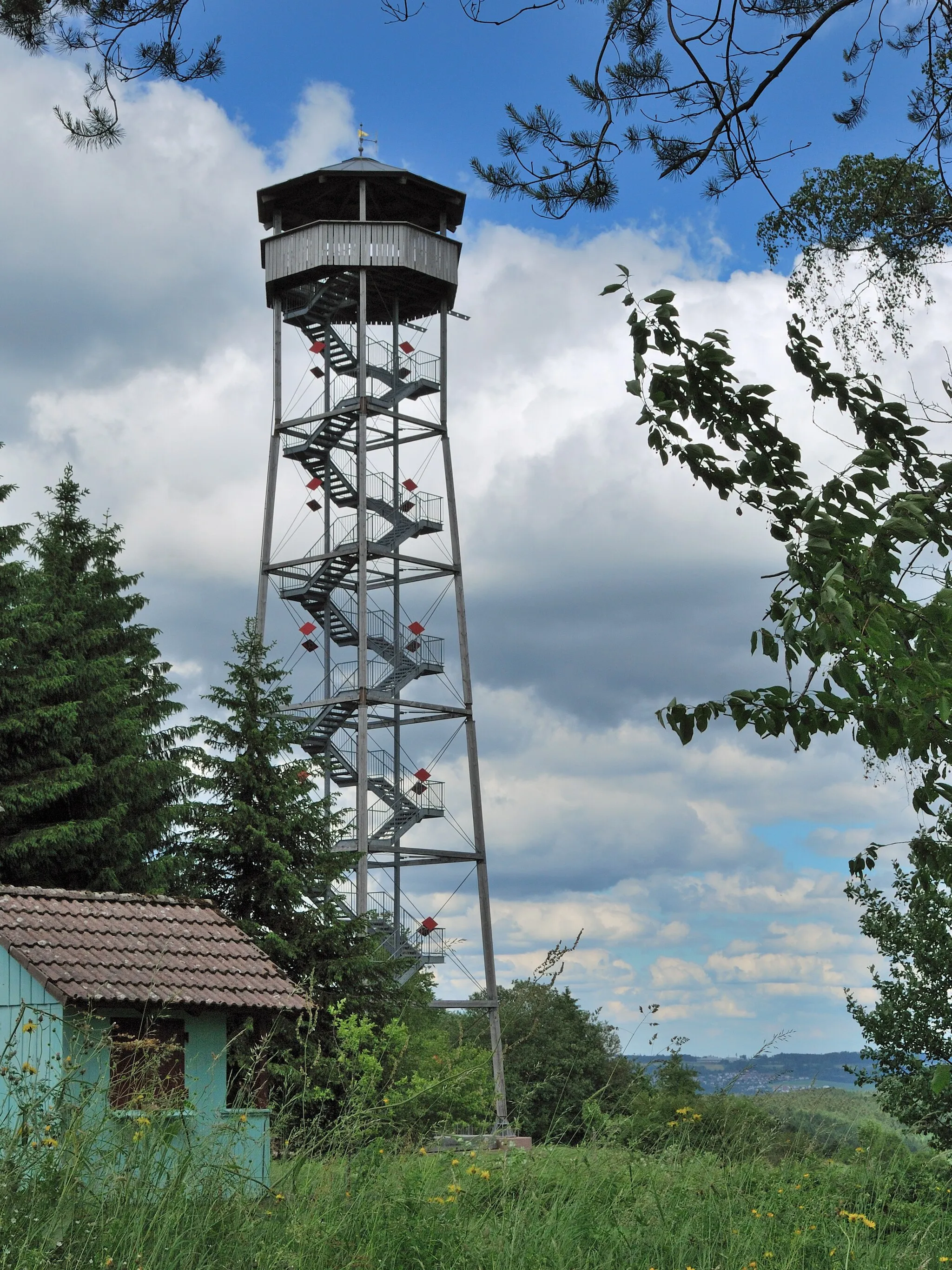
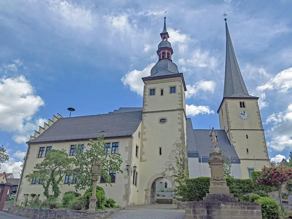
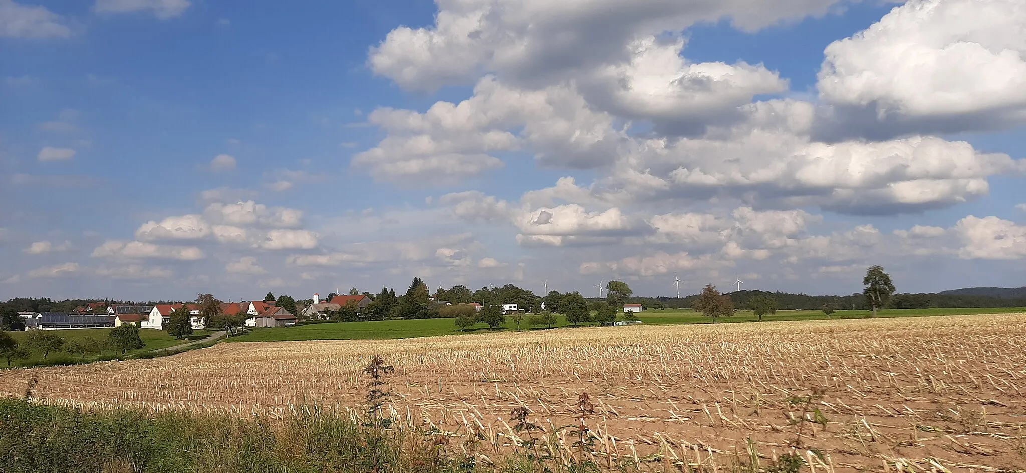
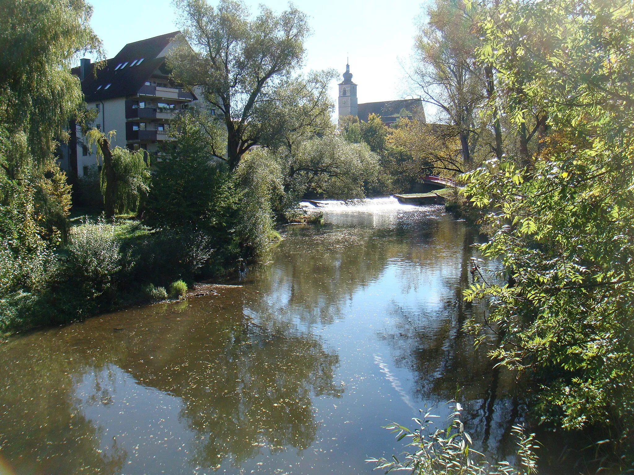
Jagstzell is a small town located in the Stuttgart region of Germany. From a cyclist's perspective, Jagstzell is a great place for road cycling. The region offers a mix of flat roads and rolling hills, perfect for cyclists of all levels. There are several well-known cycling routes that pass through Jagstzell, including the Jagsttal-Radweg, which follows the Jagst river. Nearby, cyclists can also find the Hohenloher Ebene, a well-known climb that offers stunning views of the surrounding countryside.
Explore historic sites and enjoy scenic views along the way to Burg Lohr
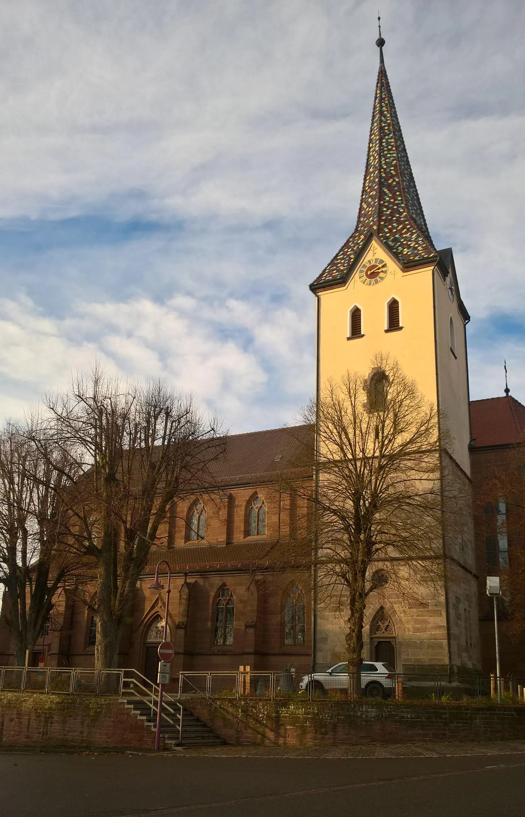
This road route starting near Jagstzell takes you on a journey through beautiful landscapes and historic sites. With a distance of 93 kilometers and an ascent of 1275 meters, it is suitable for intermediate to advanced riders. The highlight of this route is Burg Lohr, a stunning castle with panoramic views of the surrounding countryside.
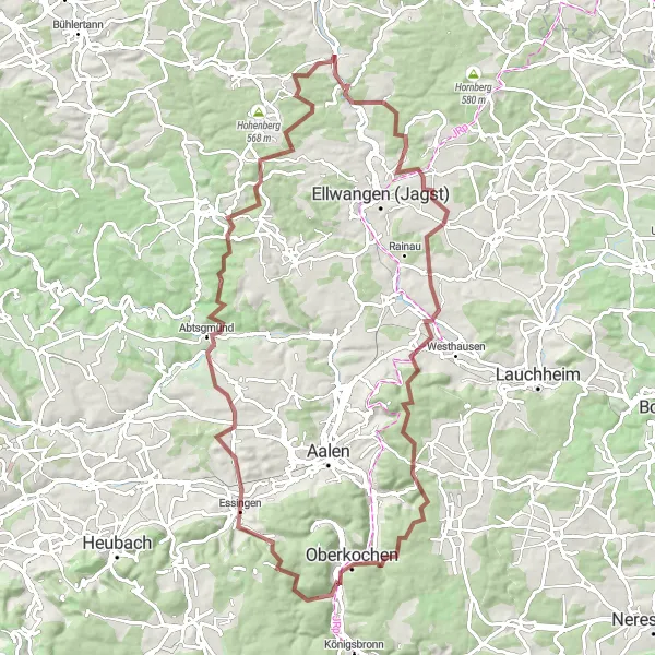
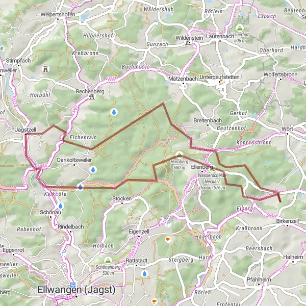
Embark on a challenging gravel ride through Abtsgmünd and explore the picturesque Essingen.
This 92 km gravel ride with an ascent of 1483 m is recommended for experienced cyclists. Explore the charming village of Abtsgmünd, known for its traditional half-timbered houses and historical landmarks. Visit Essingen, a scenic village nestled amidst rolling hills and vineyards. This route offers challenging climbs and rewarding descents, making it ideal for cyclists seeking a thrilling adventure.
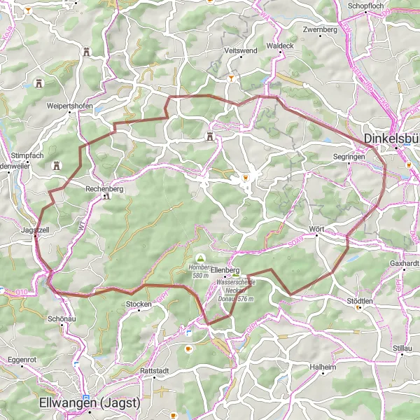
Explore the scenic landscapes on this road cycling route to Marktlustenau and Jagstzell.
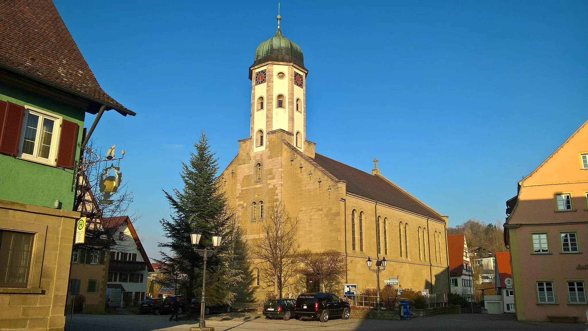
This road cycling route spans 64 km with an ascent of 532 m, making it suitable for intermediate-level cyclists. Admire the charming town of Crailsheim, known for its historic buildings and vibrant market square. Visit Marktlustenau, a traditional village with well-preserved timber-framed houses and a peaceful atmosphere. Enjoy the scenic beauty of Jagstzell, a small village surrounded by lush green fields and meandering rivers. With moderate climbs and pleasant countryside views, this route offers a delightful cycling experience.
Rappenburg Gravel Loop
Discover the hidden gem of Ruppenburg along this scenic gravel route
This gravel route starting near Jagstzell is ideal for intermediate riders looking to explore some off-road paths. With a distance of 50 kilometers and an ascent of 661 meters, it provides a mix of challenging sections and beautiful scenery. The highlight of the route is the historic village of Ruppenburg, known for its charming architecture and tranquil surroundings.
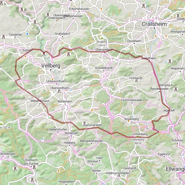
Discover the charming villages of Stimpfach and Wasserscheide Rhein/Donau on this gravel cycling route.
This gravel tour takes you through scenic landscapes and beautiful villages, including Stimpfach and Wasserscheide Rhein/Donau. With a total distance of 49 km and an ascent of 605 m, this route is suitable for intermediate level cyclists. The route offers a mix of gravel roads and moderate climbs, providing an enjoyable and challenging ride.
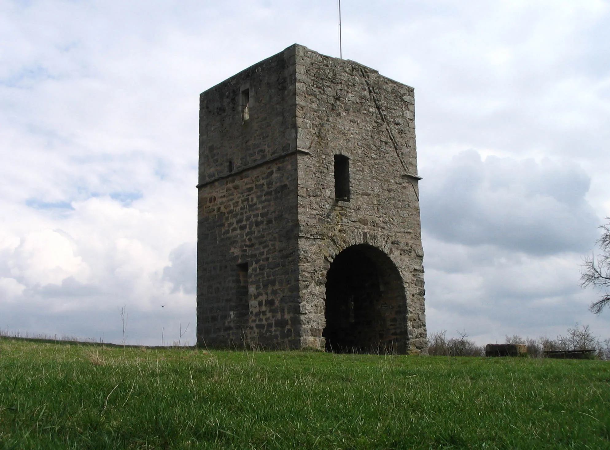
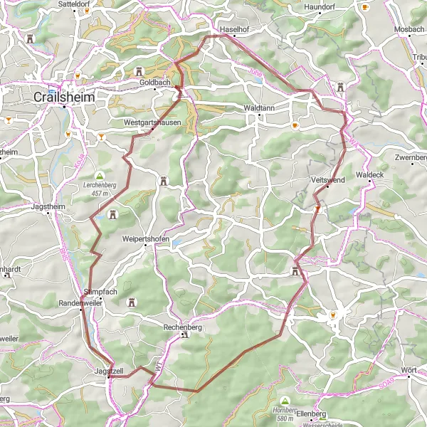
Embark on a gravel adventure to Jagstheim and visit the historical Burg Buch.
This gravel cycling route covers a distance of 64 km with an ascent of 738 m. Explore Jagstheim, a village known for its rich history and charming architecture. Don't miss the opportunity to visit Burg Buch, a preserved medieval castle offering sweeping views of the surrounding countryside. With moderate climbs and picturesque landscapes, this route offers a rewarding and memorable cycling experience.
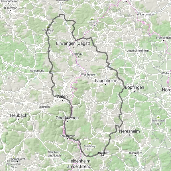
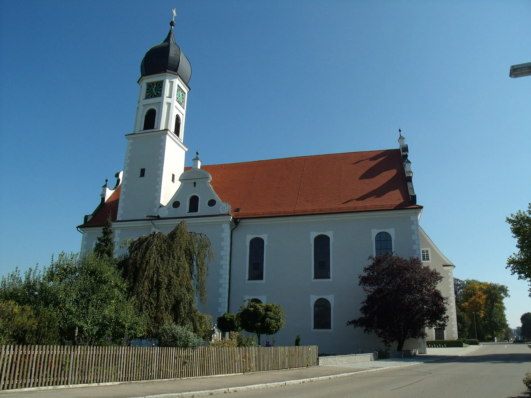
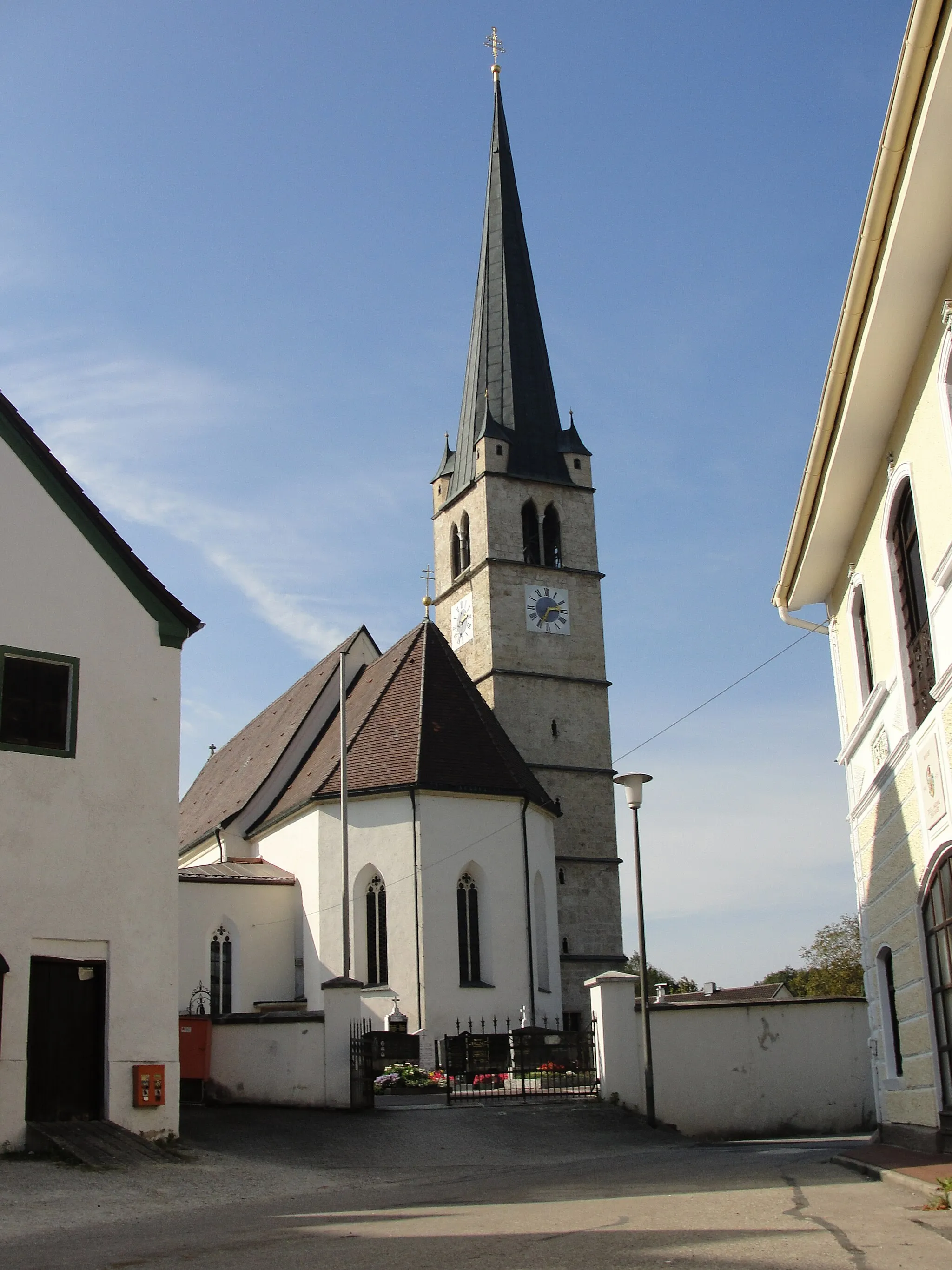
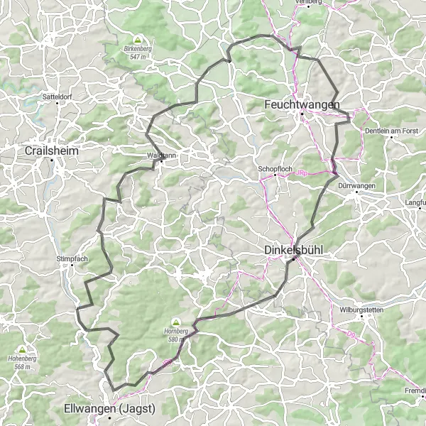
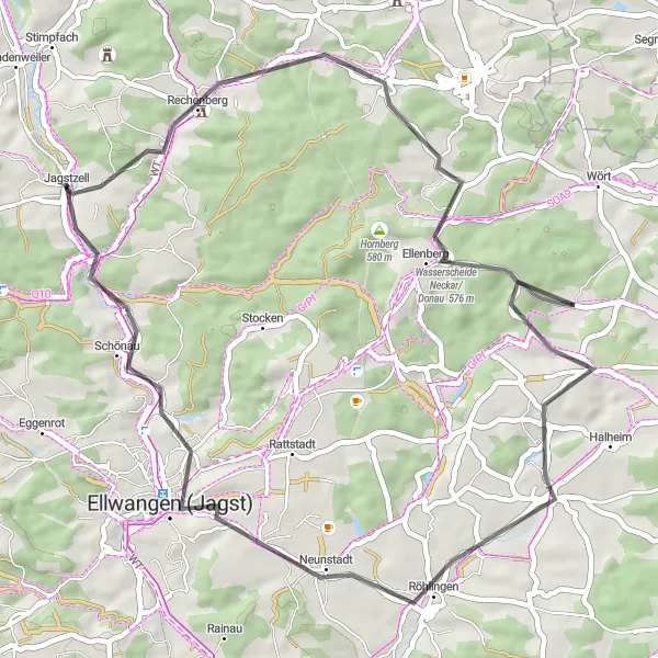
Embark on a legendary road cycling route to Aalen and visit the majestic Schloss ob Ellwangen.
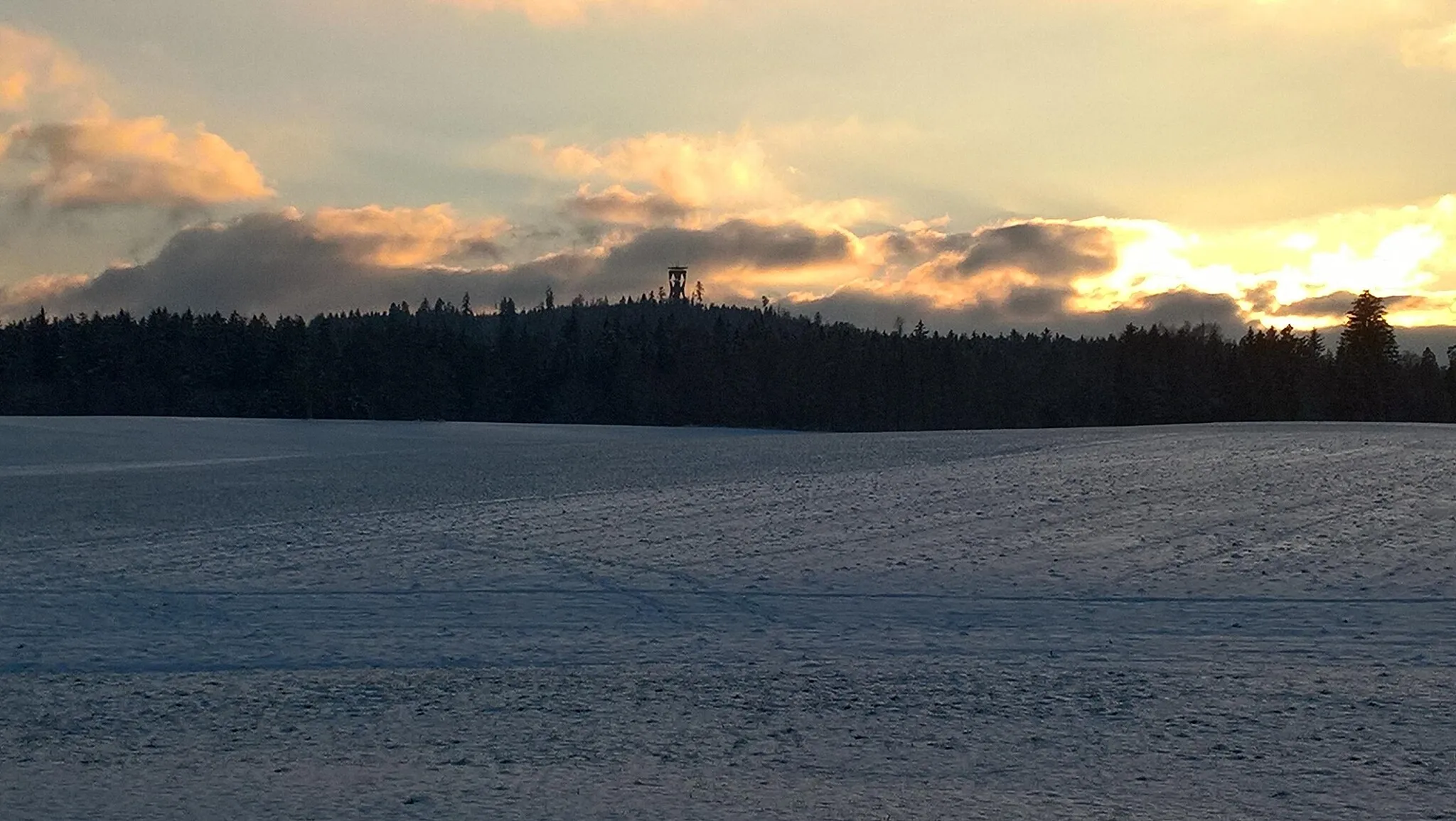
This challenging road cycling route spans 119 km with an ascent of 1327 m, suitable for experienced cyclists. Explore the historical town of Aalen, known for its ancient Roman heritage and captivating architecture. Don't miss the opportunity to visit Schloss ob Ellwangen, a magnificent castle offering panoramic views of the surrounding countryside. With demanding climbs and breathtaking vistas, this route guarantees an epic cycling adventure.
Hintersteinbach Gravel Loop
Experience a beautiful gravel loop passing through charming Hintersteinbach village
This gravel route near Jagstzell takes you on a scenic adventure through the countryside. With a distance of 36 kilometers and an ascent of 568 meters, it is a perfect choice for beginner to intermediate riders. The highlight of this route is the village of Hintersteinbach, known for its picturesque surroundings and traditional German architecture.
Schloss Rechenberg Road Loop
Cycle through history along this road loop, ending at the majestic Schloss Rechenberg
This road route takes you through scenic landscapes and historic sites. With a distance of 49 kilometers and an ascent of 562 meters, it is suitable for intermediate riders. The highlight of the route is Schloss Rechenberg, a magnificent castle nestled in the countryside. Don't miss the chance to explore its grounds and admire its architecture.
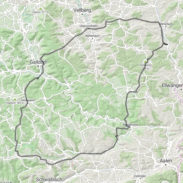
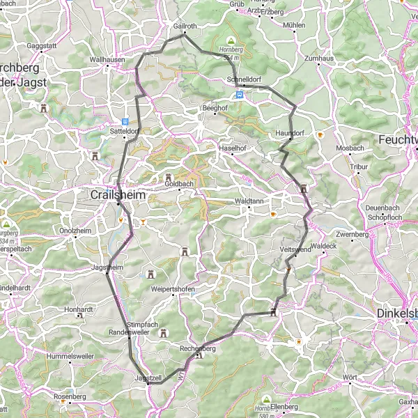
Embark on a challenging road loop with breathtaking panoramic views from Hohenberg
This road route starting near Jagstzell offers an exhilarating ride for experienced cyclists. Spanning 106 kilometers and featuring an ascent of 1347 meters, this loop is perfect for those seeking a challenging ride with rewarding mountain views. The route features several highlights, including the picturesque village of Alfdorf and the historic town of Gaildorf.
Cycling routes nearby:
Nearby regions: