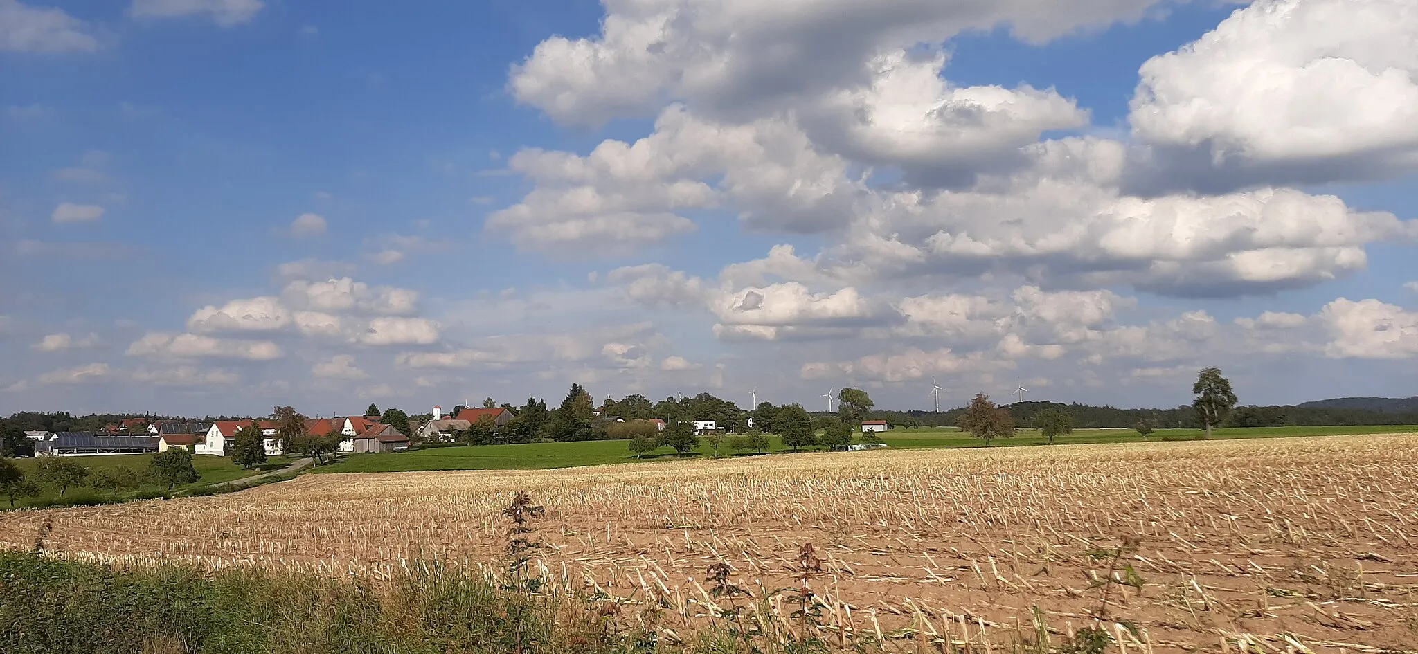
Cycling paradise in Stuttgart region
Cycling routes from Crailsheim
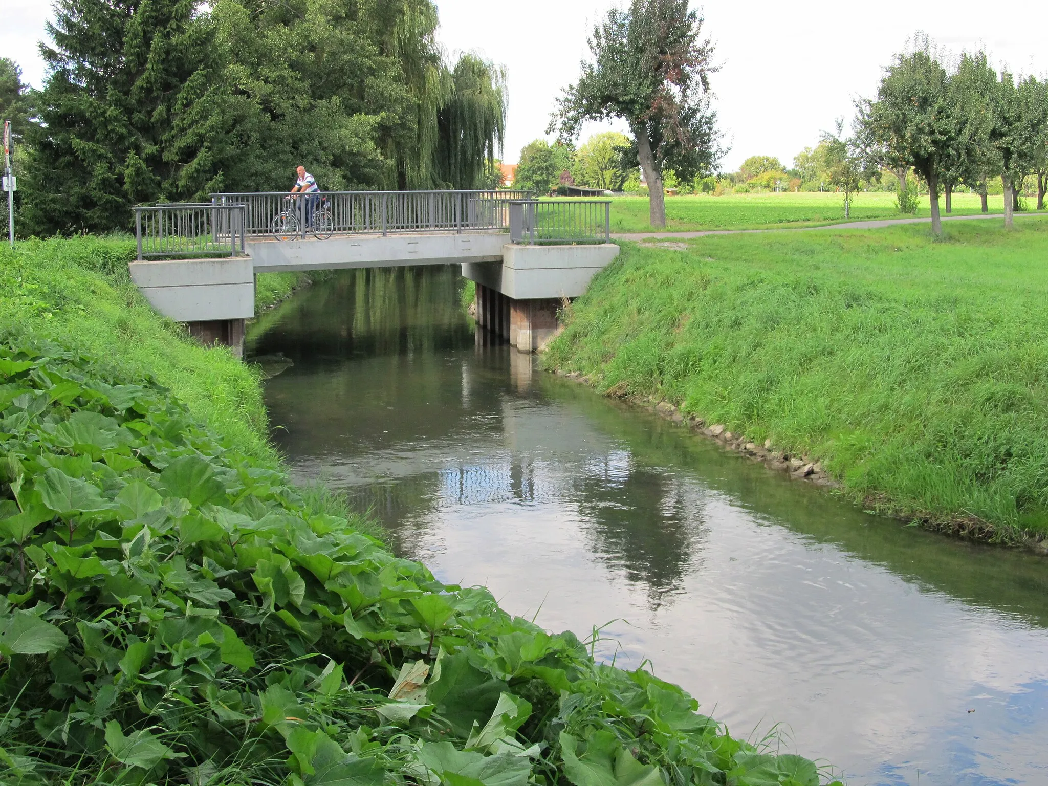
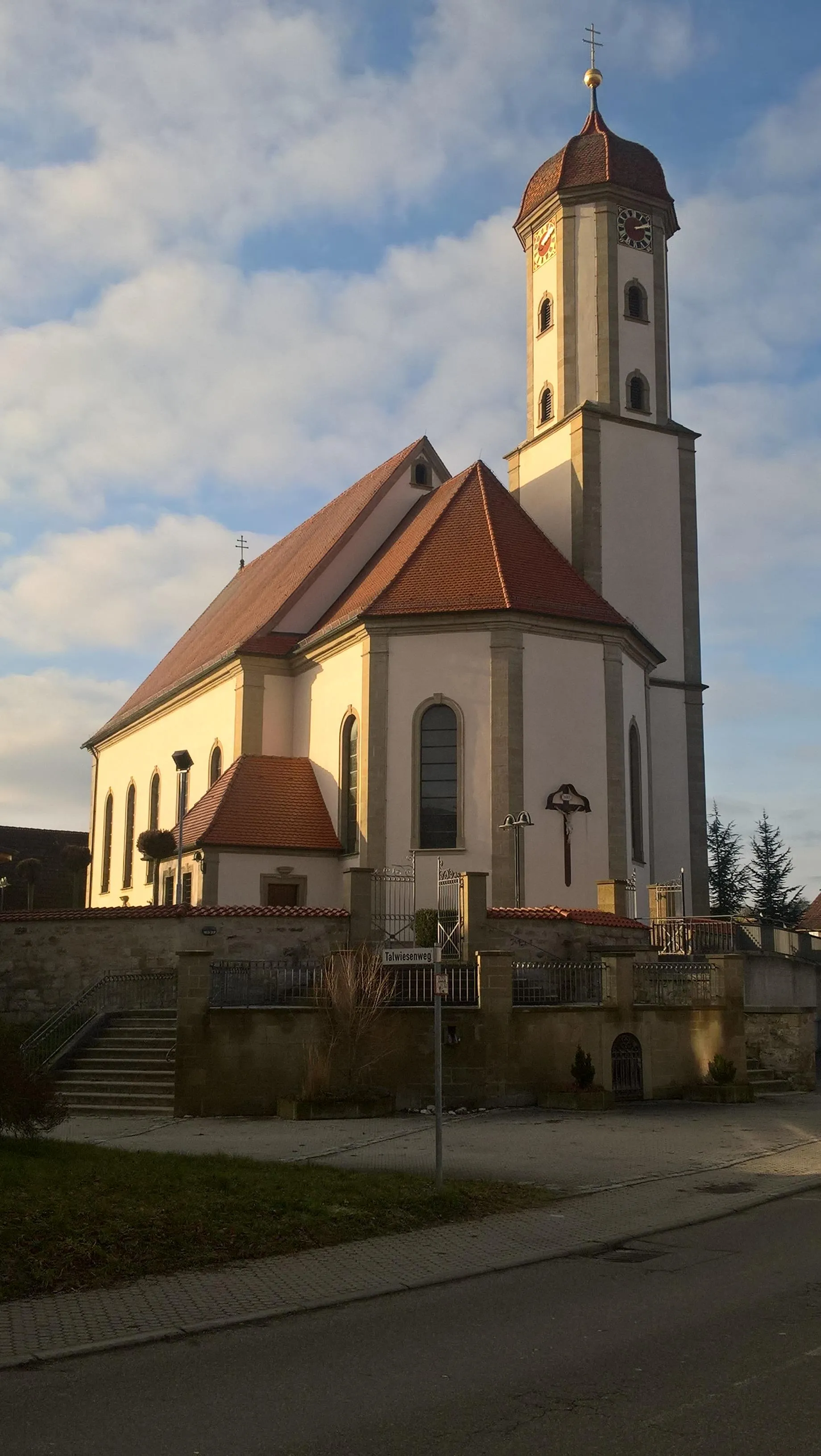
Crailsheim, located in the Stuttgart region of Germany, offers diverse cycling opportunities for road and gravel cyclists. The region features rolling hills and beautiful landscapes, perfect for both leisurely rides and challenging climbs. Cyclists can explore the scenic routes and enjoy the tranquility of the countryside. Crailsheim is also home to famous cycling spots such as Hohenlohe, a well-known climb that attracts cyclists of all levels. With its cycling-friendly atmosphere and stunning scenery, Crailsheim is a great destination for cyclists looking to experience the beauty of the Stuttgart region.
Discover the gravel roads and hidden gems around Stuttgart on this epic cycling route
Embark on a gravel adventure to Mariäkappel, a small village near Stuttgart. Covering a distance of 63 km with an ascent of 577 m, this route takes you through scenic countryside and off-the-beaten-path trails. Suitable for gravel enthusiasts, it offers a thrilling ride with diverse terrain and stunning natural landscapes. The route passes by picturesque locations and hidden gems, allowing you to discover the region's rich history and cultural heritage.
The Jagstheim Journey
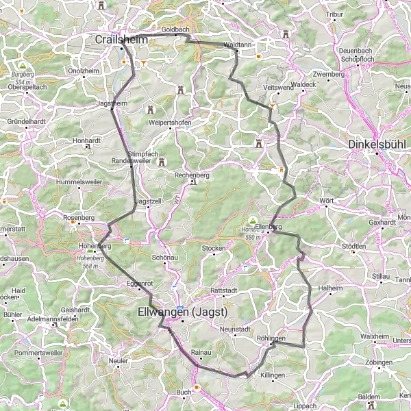
Immerse yourself in the beauty of the Jagst river valley
The Jagstheim Journey is a road cycling route starting near Crailsheim that takes you through the scenic Jagst river valley. With an ascent of 821m and a distance of 79km, this moderately difficult route is ideal for experienced amateur cyclists. Enjoy the stunning views of the river, rolling hills, and charming towns along the way.
Gaggstatt Loop
Road cycling extravaganza near Crailsheim with stunning views
The Gaggstatt Loop is a popular road cycling route near Crailsheim, Stuttgart. With a distance of 84 km and an ascent of 774 m, it offers a challenging yet rewarding experience for cyclists. The route takes you through picturesque landscapes and charming villages, allowing you to immerse yourself in the beauty of the region. It is suitable for well-trained amateur cyclists looking for an exciting ride.
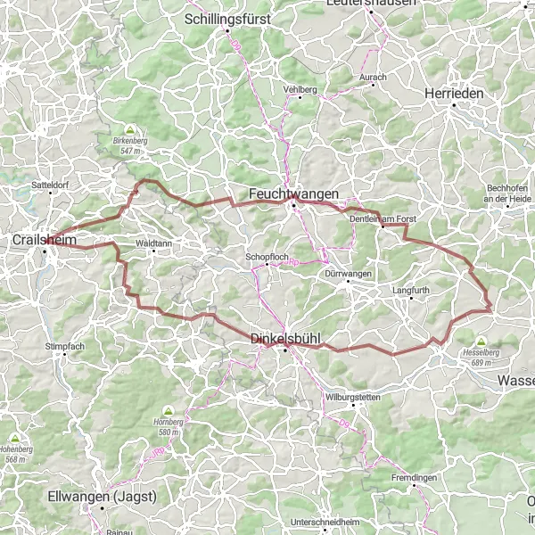
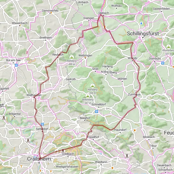
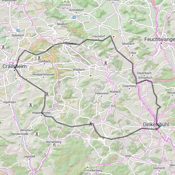
Embark on a challenging gravel tour from Crailsheim to the historical town of Dinkelsbühl
This challenging gravel route starts in Crailsheim and takes you through various picturesque towns and landscapes. With a total distance of 91 kilometers and an ascent of 1078 meters, this route is suitable for experienced riders looking for a real test of endurance. The highlight of this route is the medieval town of Dinkelsbühl, where you can explore its well-preserved old town and immerse yourself in history. The route also passes through Mariäkappel, Kesselberg, Weinberg, Dentlein am Forst, Wittelshofen, Schafbuck, Berglein, Wasserscheide Rhein/Donau, Wäldershub, and Westgartshausen, providing a diverse range of landscapes and cultural attractions.
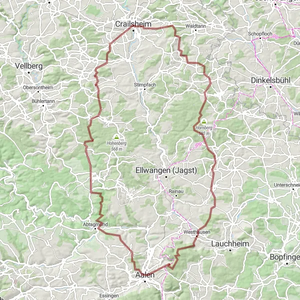
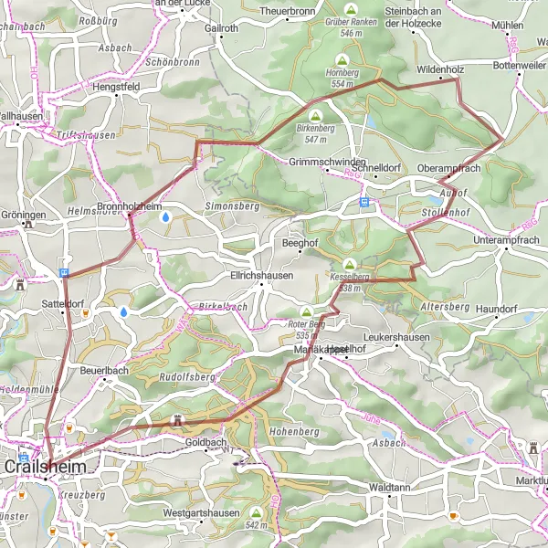
Embark on an epic gravel challenge to Aalen and conquer legendary climbs
The Aalen Epic Gravel Challenge is an ultimate test of endurance and skill, taking you on a thrilling ride through legendary climbs and demanding terrain. Covering a distance of 106 km with an ascent of 1522 m, it offers an unforgettable cycling experience. The route showcases the region's stunning natural beauty and takes you to iconic cycling spots. A highlight of the route is the climb to Hornberg, situated at the 70 km mark. This legendary climb has been featured in professional cycling races and offers breathtaking views. Prepare to push your limits and conquer this epic gravel challenge in Aalen.
Burg Schönebürg Loop
Short but adventurous gravel loop with a visit to Burg Schönebürg
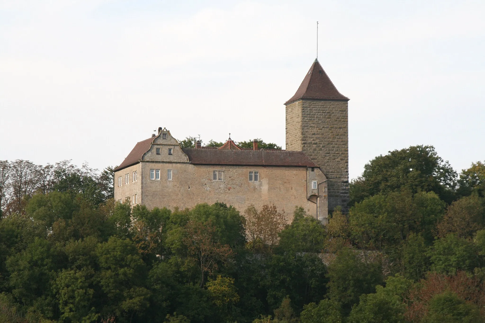
The Burg Schönebürg Loop is a short yet adventurous gravel route that takes you on a scenic journey through the countryside near Crailsheim. With a distance of 37 km and an ascent of 466 m, it offers a relatively quick cycling experience suitable for gravel enthusiasts. The highlight of the route is a visit to Burg Schönebürg, a medieval castle located at the 33 km mark. Explore the castle's ruins and imagine the rich history that unfolded within its walls. This route is perfect for riders looking to squeeze in a quick adventure.
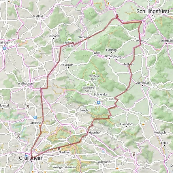
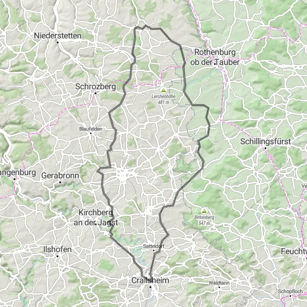
An adventurous gravel route showcasing the beautiful countryside from Crailsheim to Satteldorf
This scenic gravel route starts in Crailsheim and takes you through the charming town of Satteldorf. With a total distance of 55 kilometers and an ascent of 466 meters, this route provides a moderate challenge for experienced riders. The highlight of this route is the historic town of Satteldorf, where you can explore its rich history and enjoy the picturesque views. The route also passes through Rothberg, Oberoestheim, Bergmann, Oberampfrach, Roter Berg, and Mariäkappel, offering a variety of landscapes and cultural attractions along the way.
The Leukershausen Loop
Cycling through scenic landscapes and historic towns
The Leukershausen Loop is a road cycling route near Crailsheim that takes you through picturesque landscapes and charming historic towns. With a moderate ascent of 580m and a distance of 59km, it is suitable for well-trained amateur cyclists. This route is not too difficult but offers plenty of opportunities to enjoy the surrounding natural beauty and discover interesting highlights along the way.

Embark on an exhilarating gravel adventure in the countryside
The Gravel Adventure is a thrilling cycling route near Crailsheim that explores the beautiful countryside on gravel paths. With an ascent of 846m and a distance of 87km, this route is suitable for experienced cyclists who enjoy off-road challenges. Immerse yourself in nature and discover hidden gems along the way.

Conquer the hills and explore the beauty of Schönberg on this challenging gravel adventure
The Schönberg Adventure is a thrilling gravel route that takes you through hilly terrain and beautiful landscapes near Crailsheim. Covering a distance of 87 km with an ascent of 1155 m, it is a challenging ride suitable for experienced gravel riders seeking adrenaline and natural beauty. As you conquer the hills, you'll be rewarded with panoramic views and glimpses of the region's diverse flora and fauna. One of the highlights of the route is Schönberg, located at the 61 km mark. Explore this charming village and enjoy its tranquil atmosphere.
Cycling routes nearby:

Nearby regions: