Perfect for adrenaline-filled cycling adventures in Stuttgart
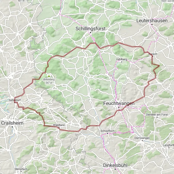
Cycling routes from Satteldorf
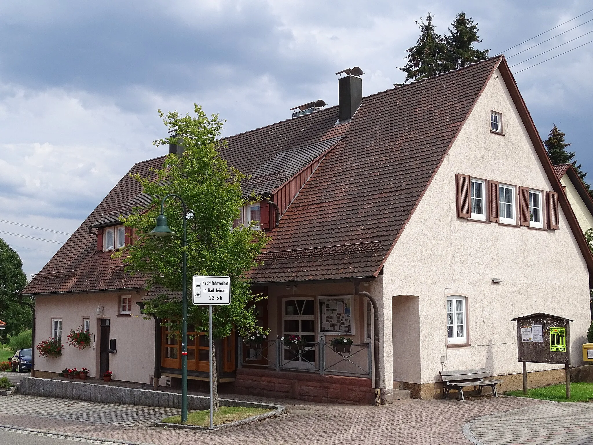
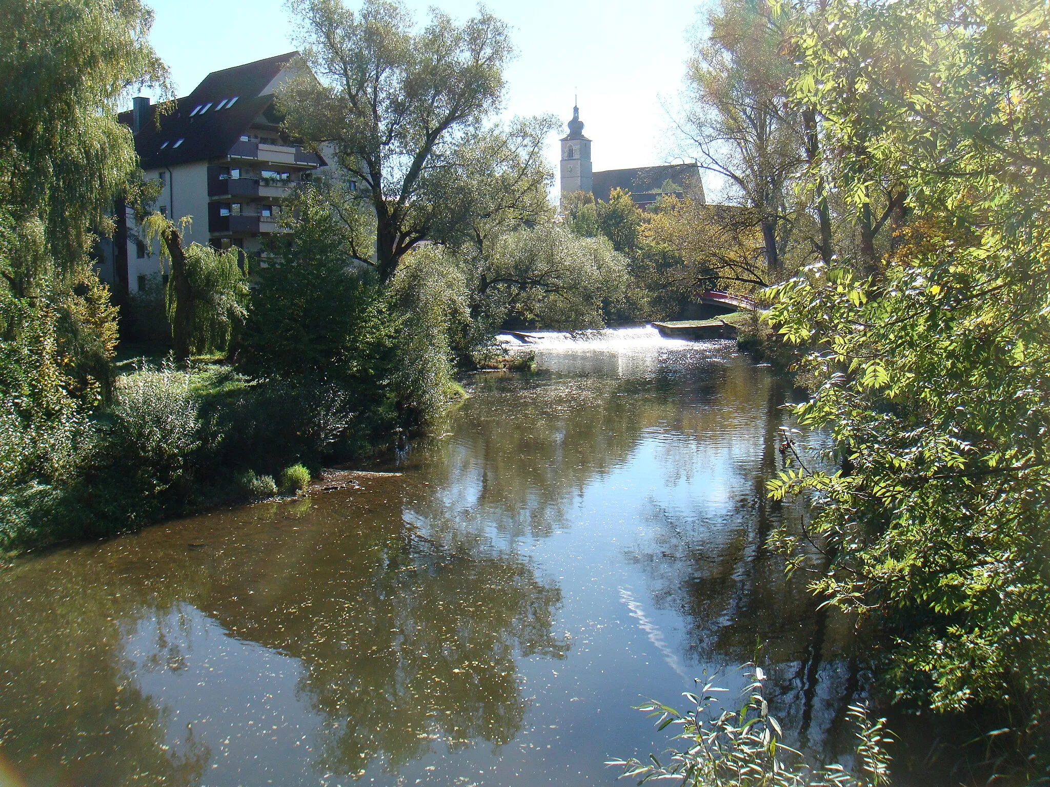
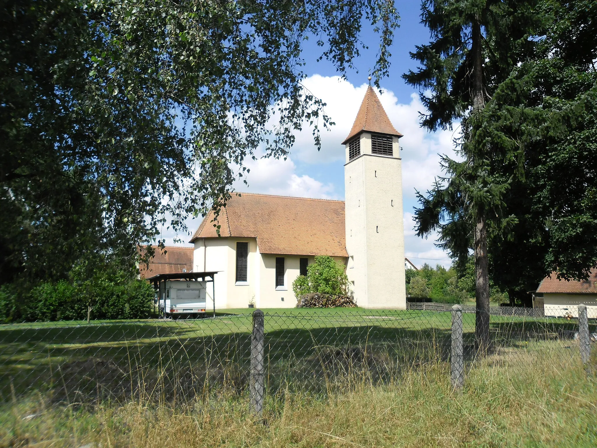
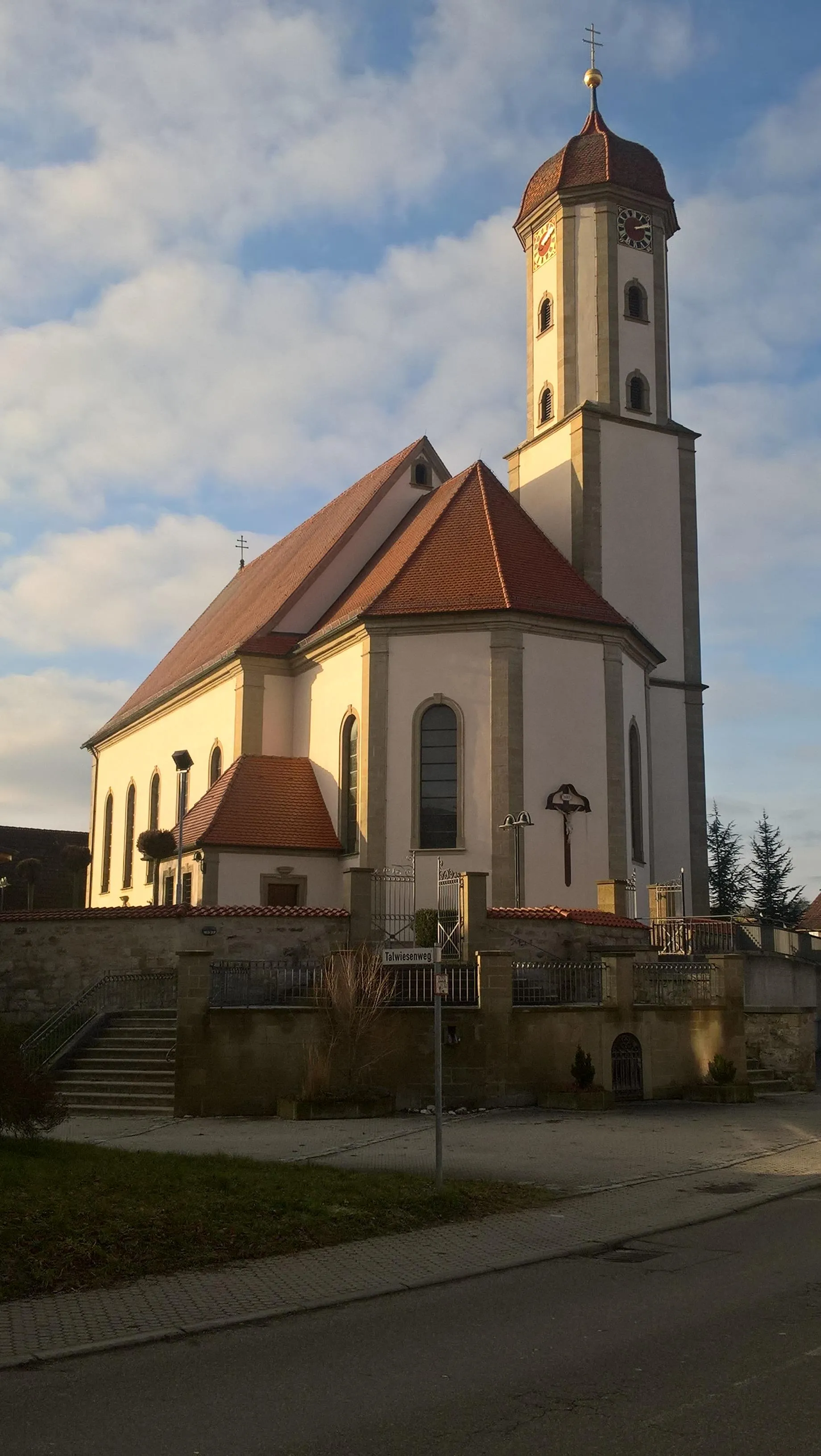
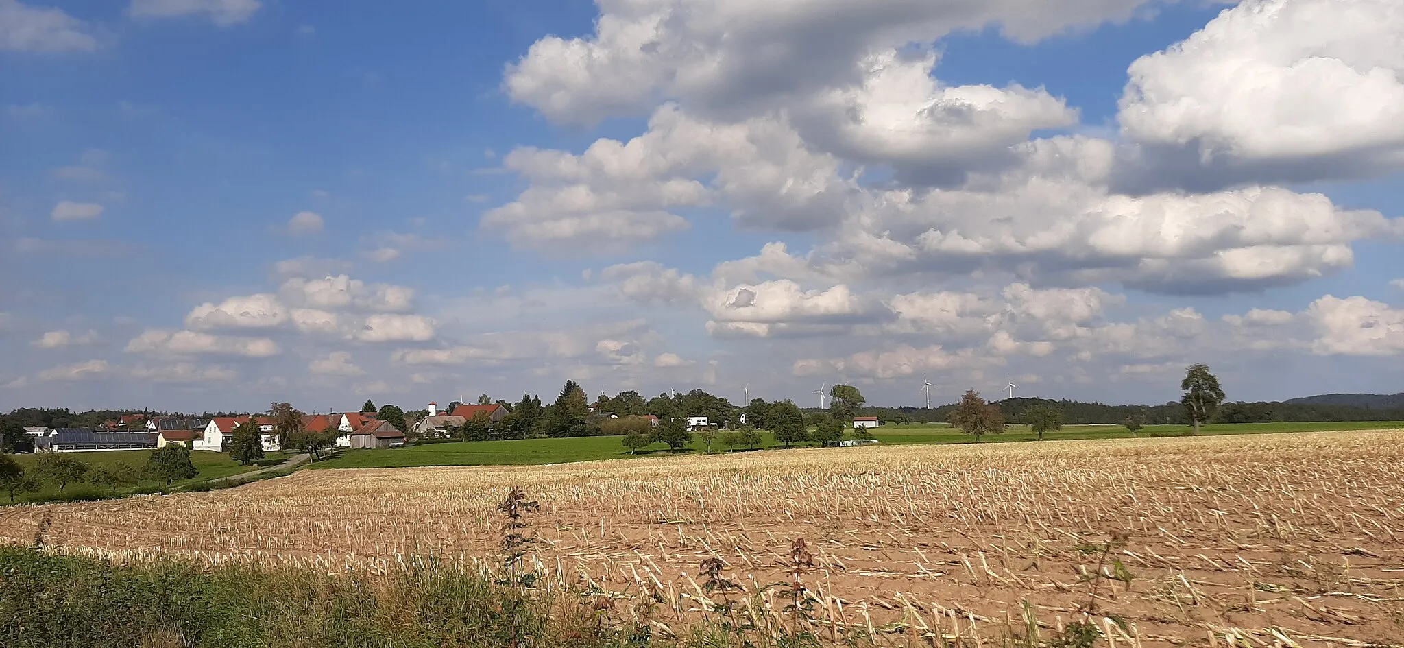
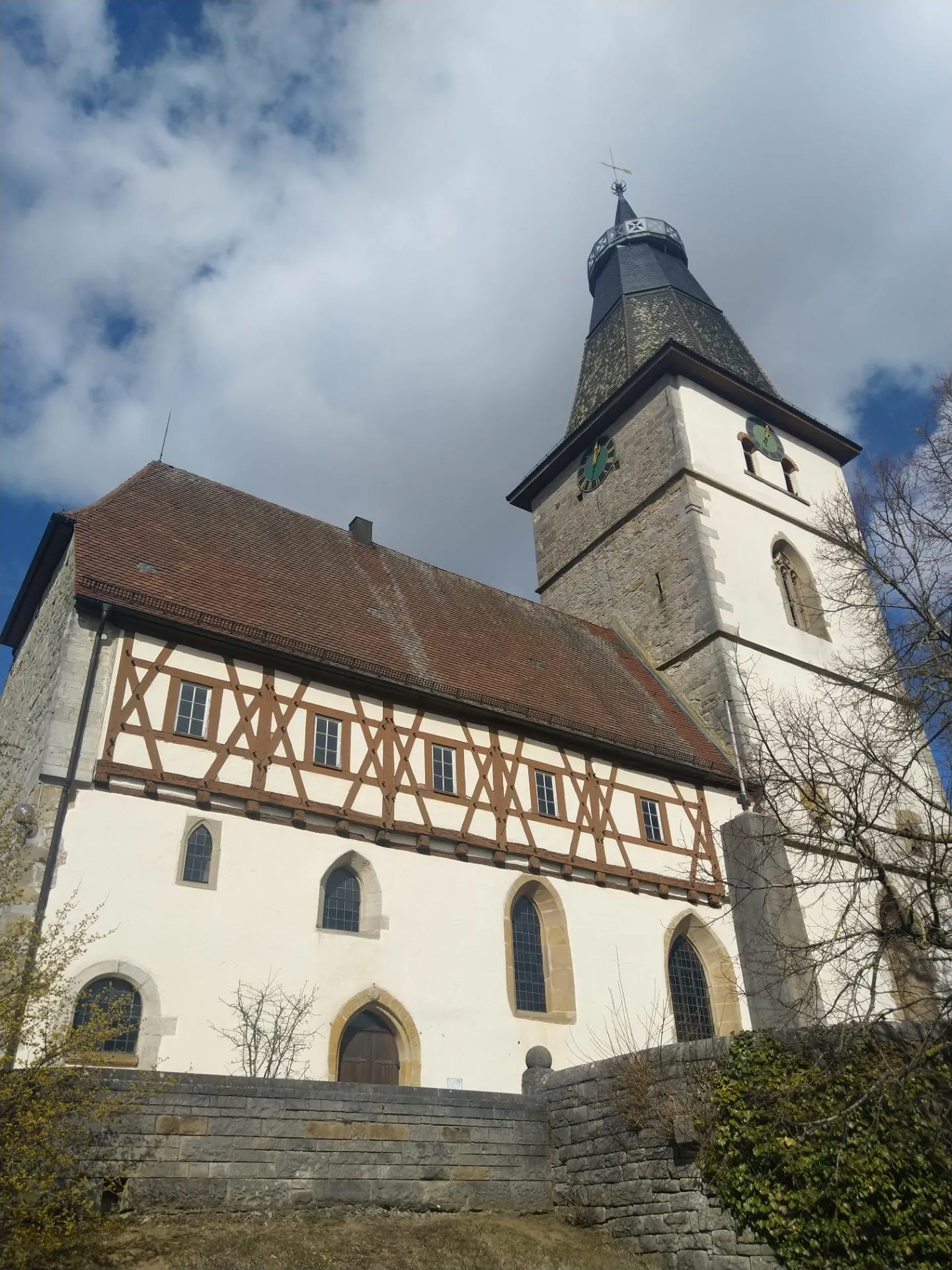
Satteldorf, located in Stuttgart, Germany, is an excellent choice for road and gravel cyclists. The locality offers a mix of flat and hilly terrain, providing varied cycling opportunities. The roads are well-maintained, offering smooth rides for cyclists. Satteldorf is home to the well-known climb, Würzburger Stein, a popular challenge among cyclists in the region. The town also boasts various cycling routes, allowing cyclists to explore the surrounding areas. With its diverse landscapes and cycling-friendly atmosphere, Satteldorf is a must-visit destination for cycling enthusiasts.
Discover the charm of Tiefenbach and other scenic spots near Satteldorf
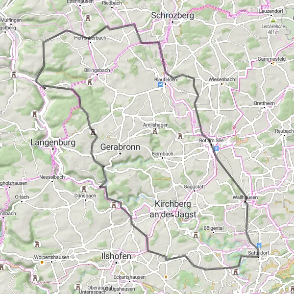
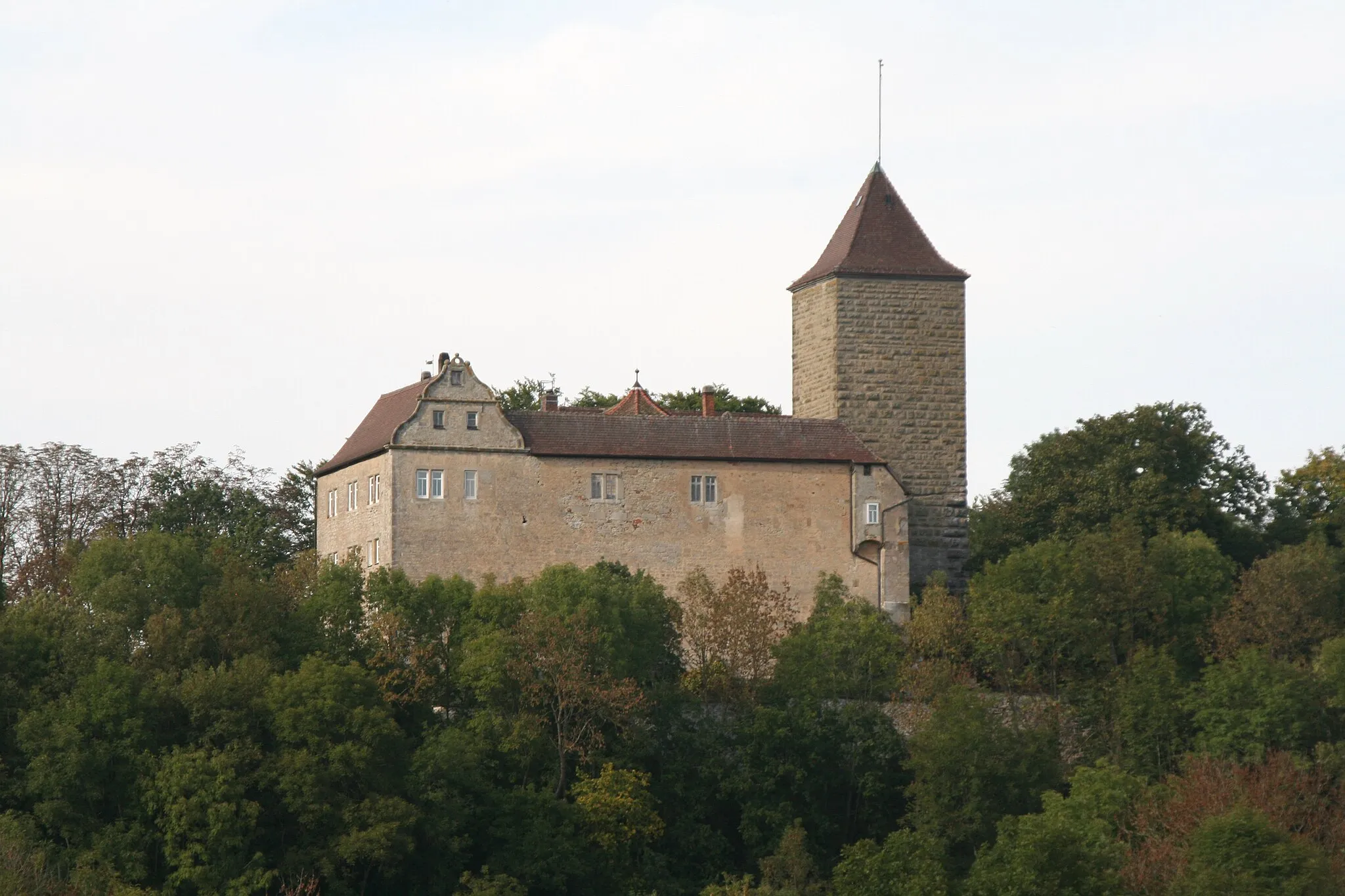
Explore the beautiful countryside near Satteldorf with this 70 km road cycling loop. With an ascent of 937 m, it offers a moderate challenge suitable for well-trained amateurs. Highlights along the route include Tiefenbach, a picturesque village known for its traditional architecture and charming atmosphere, Ludwigsruhe, a historic spot with interesting landmarks, and Ruine Burg Alt-Bartenstein, a ruined castle with captivating views. The route starts and ends in Satteldorf, allowing easy access to amenities and services. Overall, this road cycling loop offers a pleasant and scenic journey through the Stuttgart region.
Untergailnau Loop
Gravel adventure through scenic countryside
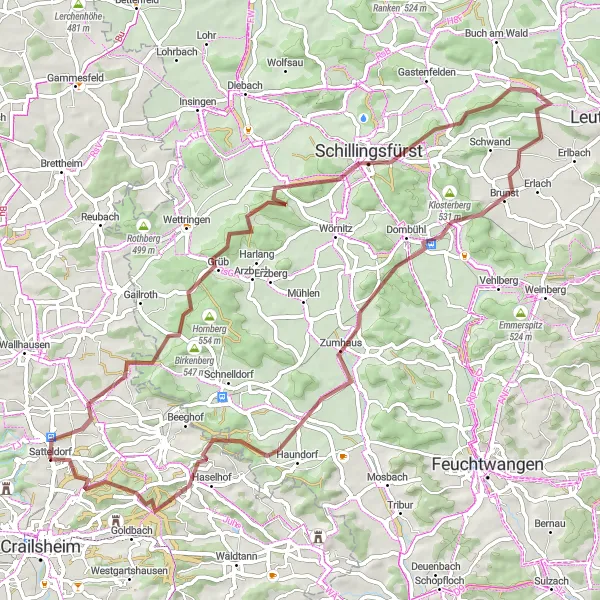
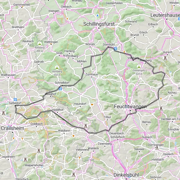
This gravel route takes you through the picturesque countryside near Satteldorf. With a challenging ascent of 843 meters over a distance of 71 kilometers, this loop is perfect for experienced gravel riders seeking both scenic views and a tough physical challenge. Highlights along the route include the charming village of Untergailnau, the idyllic Wölfleinsberg, the historic Münchsberg, and the quaint town of Dombühl. The difficulty of this route is rated 4 out of 5, suitable for well-trained amateurs. It receives an epicness rating of 3 out of 5, making it a rewarding adventure for gravel enthusiasts.
Satteldorf Circular Road Route
Explore the rolling hills and charming villages near Satteldorf
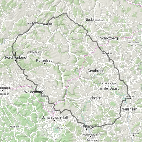
This road cycling route near Satteldorf takes you through picturesque landscapes with rolling hills, charming villages, and historic landmarks. With a total distance of 140 km and 1559 m of ascent, it offers a challenging but rewarding experience for well-trained amateurs. Highlights along the route include Tiefenbach, a quaint village known for its traditional architecture, Vellberg, a medieval town with a well-preserved castle, and Beltersrot, a scenic spot with panoramic views. Other notable highlights include Forchtenberg, Blankenberg, Krautheim, and the famous Roter Berg. Overall, this route offers a diverse and enjoyable cycling experience in the Stuttgart region.
Satteldorf Loop
Experience the scenic beauty of Stuttgart in this exciting road cycling route.
This route takes you through the beautiful countryside near Satteldorf, providing stunning views and a challenging ride. With a total ascent of 621 meters and a distance of 58 kilometers, this route offers a good mix of hills, flats, and descents. The difficulty level is moderate, suitable for well-trained amateurs. The epicness factor is relatively high, thanks to the picturesque landscapes and charming villages along the way.
Scenic road cycling through historical landmarks and natural beauty
Embark on a road cycling adventure through historical landmarks and scenic landscapes near Satteldorf. This 67-kilometer route features an ascent of 658 meters, providing a delightful mix of cultural and natural attractions. Highlights along the route include the inviting Satteldorf, the fascinating Bergmann, the picturesque Straubenberg, the medieval town of Dombühl, the tranquil Burglersberg, the charming Larrieden, the remote Kreßberg, and the striking Burg Schönebürg. The difficulty rating for this route is 3 out of 5, making it suitable for intermediate-level cyclists. The epicness rating is 2 out of 5, offering a pleasant and diverse cycling experience.
Satteldorf Gravel Pathway
Discover off-the-beaten-path gravel tracks near Satteldorf
Experience the beauty of nature and the thrill of gravel cycling with this 57 km off-the-beaten-path route near Satteldorf. With a total ascent of 590 m, it provides a moderate challenge suitable for intermediate gravel riders. Highlights along the route include Oßhalden, a scenic spot with breathtaking views of the surrounding landscapes, Schloss Wildenstein, a historic castle worth exploring, and Jagstzell, a charming village with traditional architecture. The route starts and ends in Satteldorf, providing convenient access to amenities and services. Overall, this gravel route offers a unique and adventurous cycling experience in the Stuttgart region.
Gravel ride through historic villages and picturesque landscapes
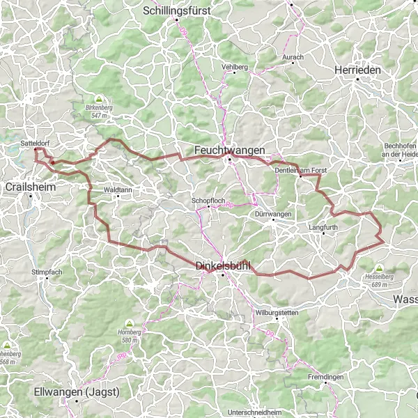
Experience the charm of rural Germany with this challenging gravel route starting near Satteldorf. With an ascent of 1133 meters over a distance of 94 kilometers, this adventure is suitable for gravel enthusiasts looking for a longer and more physically demanding ride. Highlights along the route include the scenic Mariäkappel, the stunning Streuberg, the historic town of Feuchtwangen, the picturesque Hofbuck, and the beautiful Schlierberg. The difficulty rating is 5 out of 5, making it a true test of endurance for well-trained amateurs. The epicness rating is 4 out of 5, thanks to the stunning landscapes and historical attractions along the way.
Rolling Hills of Jagst Valley

Conquer rolling hills and explore historic landmarks along Jagst Valley
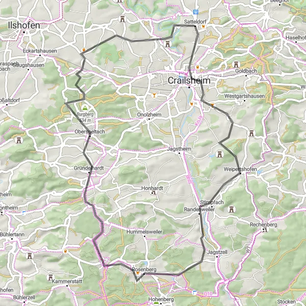
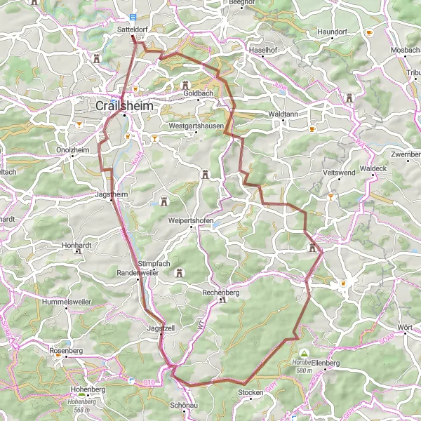
Embark on a cycling adventure through the picturesque Jagst Valley with this 78 km road cycling route near Satteldorf. With an ascent of 669 m, it provides a moderate challenge suitable for well-trained amateurs. Highlights along the route include Mariäkappel, a small chapel with stunning views, Hauerhut, an impressive lookout point, and Ellwangen (Jagst), a historic town with notable attractions. The route also features stops at Jagstzell, a charming village surrounded by beautiful landscapes, and Crailsheim, a vibrant town with a lively atmosphere. Satteldorf serves as the starting and ending point, offering easy access to amenities and services.Overall, this road cycling route offers a combination of natural beauty and historic landmarks in the Stuttgart region.
Experience the tranquility of nature on this scenic gravel route near Satteldorf
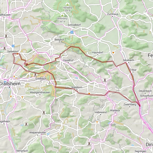
Escape the bustling city and immerse yourself in nature with this 46 km gravel route near Satteldorf. With a total ascent of 514 m, it provides a moderate challenge suitable for intermediate gravel riders. Highlights along the route include Mariäkappel, a small chapel set in a serene environment, Streuberg, a peaceful spot with panoramic views, and Hirschberg, a picturesque hill with beautiful natural surroundings. The journey starts and ends in Satteldorf, offering convenient access to amenities and services. Overall, this gravel route offers a tranquil and scenic adventure for cyclists looking to connect with nature in the Stuttgart region.
Steckberg Gravel Adventure
Gravel ride through scenic landscapes and historic sites
Embrace the challenge of this gravel adventure route starting near Satteldorf. With an ascent of 843 meters over a distance of 76 kilometers, this ride is perfect for experienced gravel riders seeking beautiful landscapes and historical attractions. Highlights along the route include the peaceful Bronnholzheim, the impressive Roßkopf, the scenic Vetschenberg, the historic town of Dombühl, the charming Steckberg, and the picturesque village of Larrieden. The difficulty rating for this route is 4 out of 5, suitable for well-trained amateurs ready for a challenging ride. The epicness rating is 3 out of 5, thanks to the combination of natural beauty and historical significance.
Cycling routes nearby:

Nearby regions: